
 213
© ml
213
© ml
October 2014: The coming Spree riverside walk / on-site inspection
back to photos' home / zurück zur Photo-Übersicht
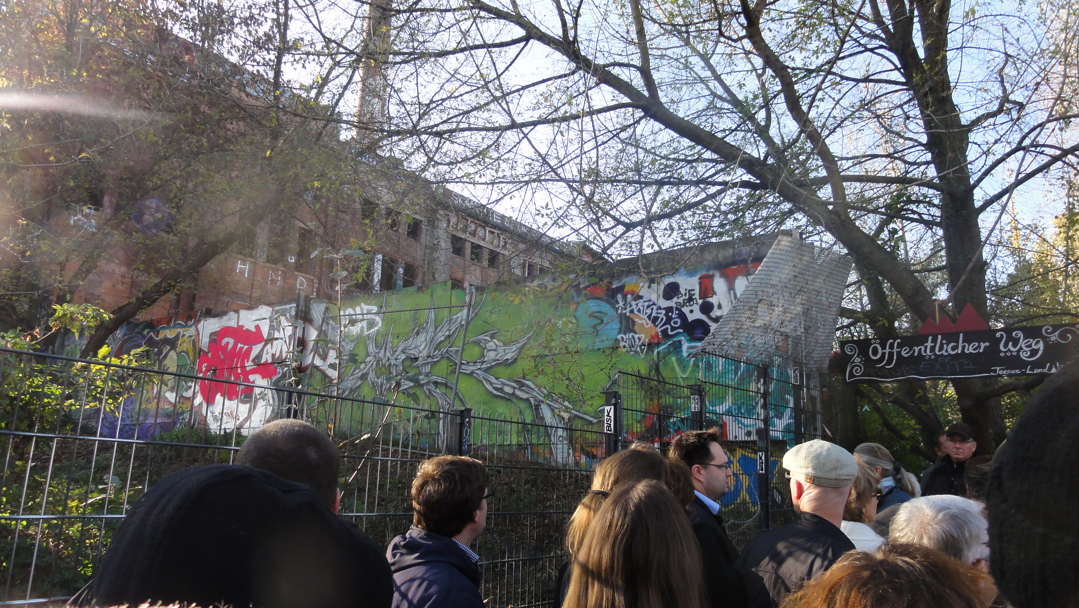
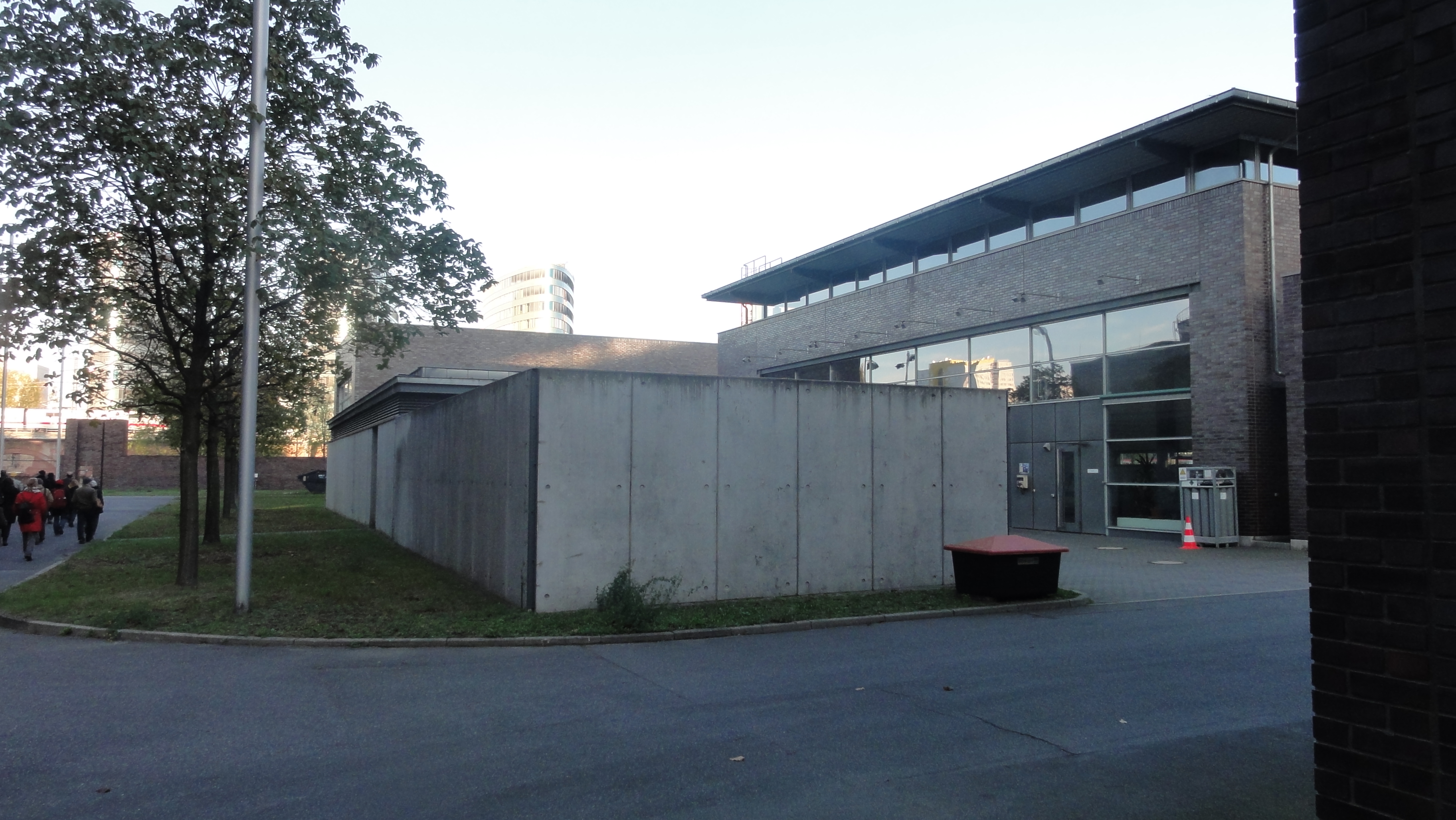
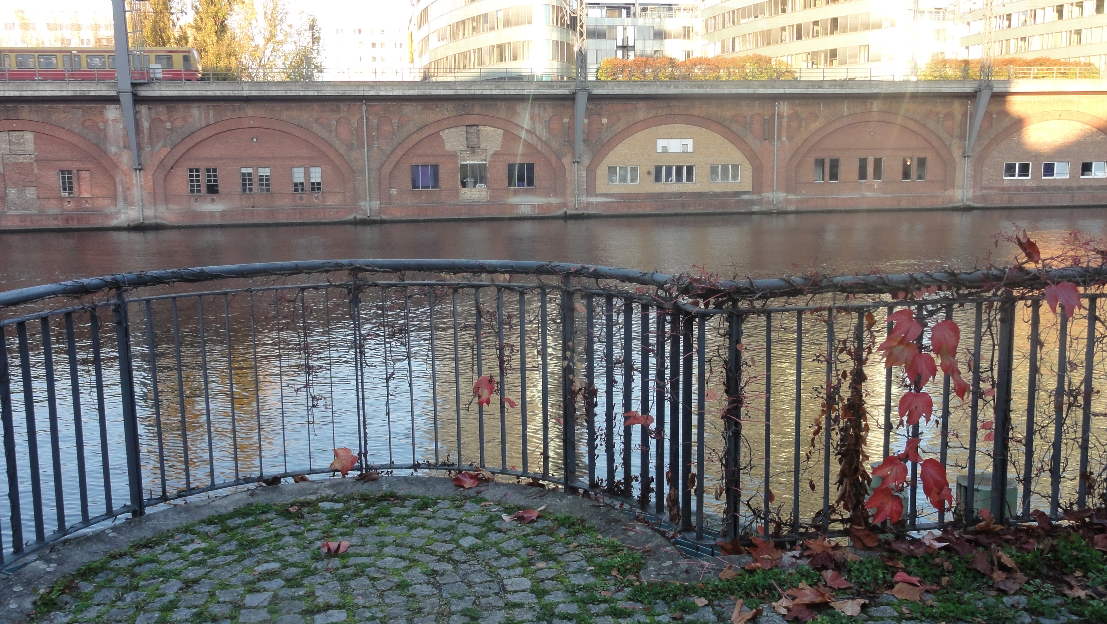
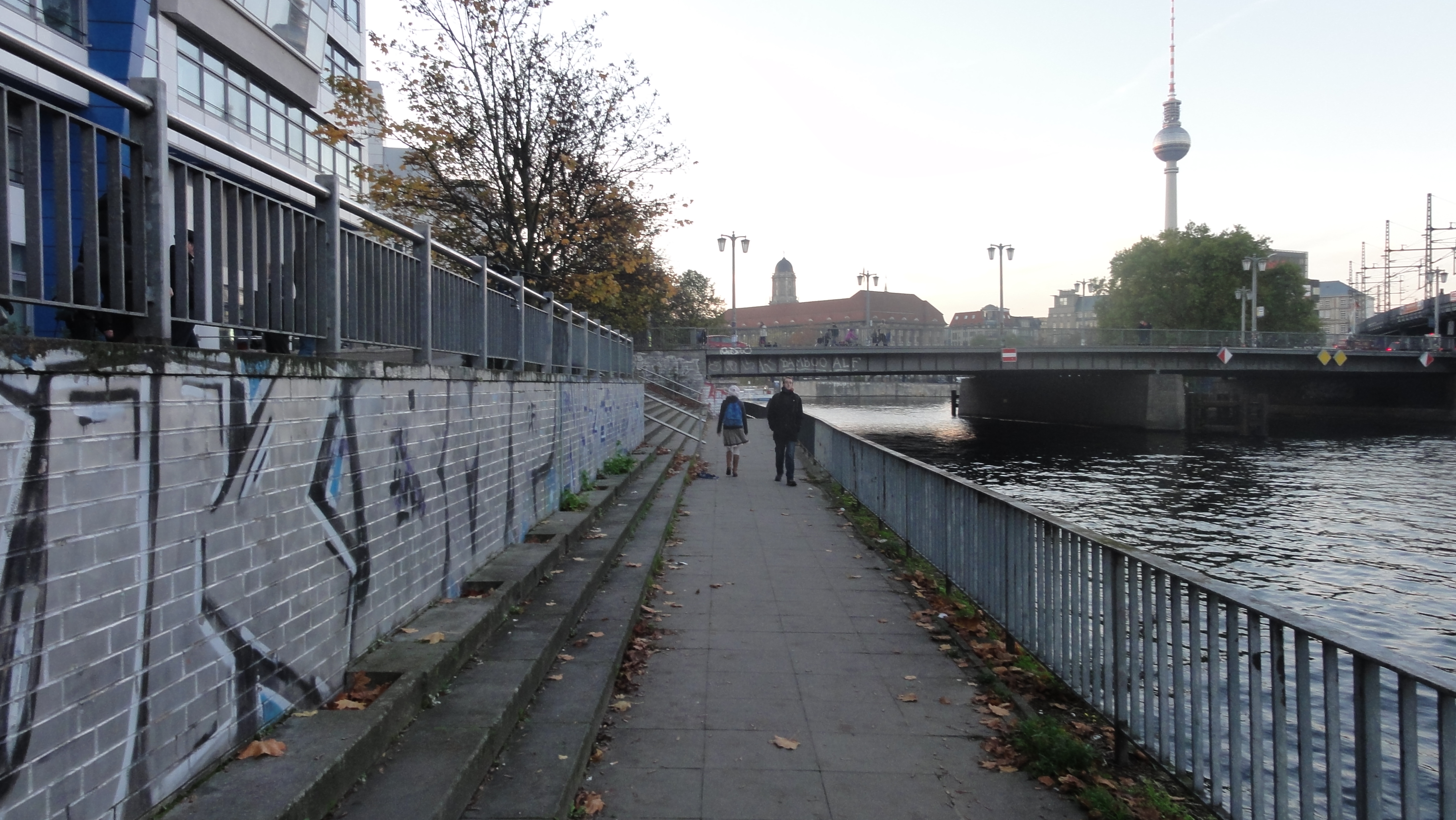
About 40 people of the neighbourhood met on 28th of October 2014, to have a look at that part of the River Spree banks which shall be developed to a public pedestrians way (plus cycles, if possible !?-).
(This text is in English, because it is part of my Berlin Hiking Tours, addressing everyone coming here.)
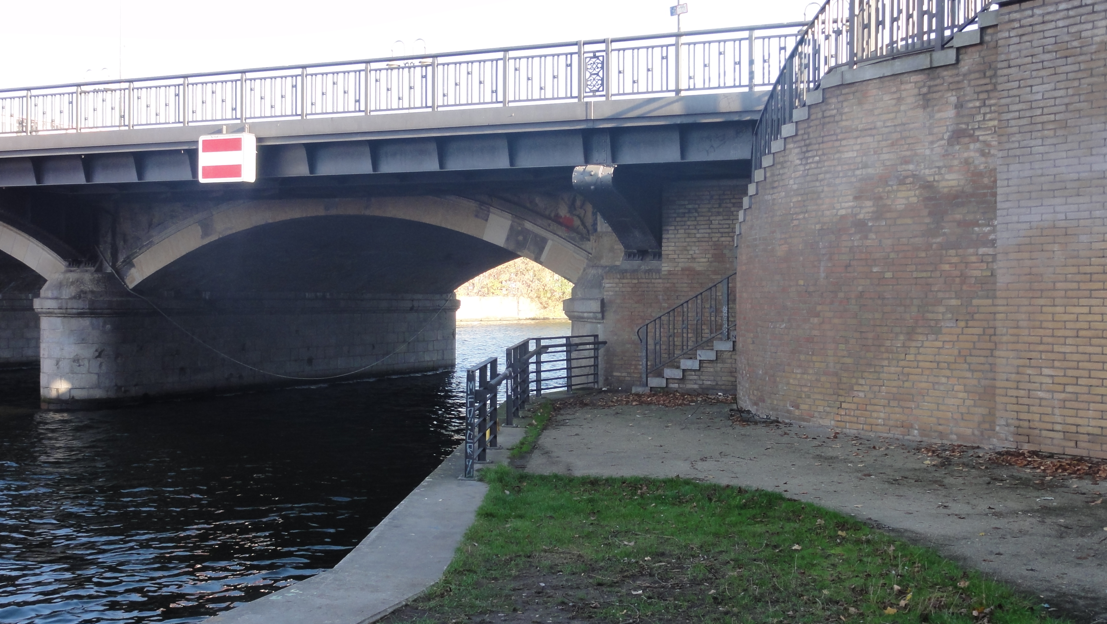
Our walk and the coming construction starts here, at the municipal border to Kreuzberg:
|
|
|
2014:10:28 15:02:57 52 deg 30' 33.28" N, 13 deg 25' 43.38" E
213
© ml
|
|
2014:10:28 15:17:02 52 deg 30' 32.41" N, 13 deg 25' 43.48" E
 135.25
© ml 135.25
© ml
|
|
2014:10:28 15:17:58 52 deg 30' 34.84" N, 13 deg 25' 41.49" E
 297.25
© ml 297.25
© ml
|
|
2014:10:28 15:18:25 52 deg 30' 34.78" N, 13 deg 25' 40.78" E
 321.5
© ml 321.5
© ml
|
|
2014:10:28 15:19:00 52 deg 30' 34.91" N, 13 deg 25' 39.43" E
 270.75
© ml 270.75
© ml
|

|
|
2014:10:28 15:19:06 52 deg 30' 34.58" N, 13 deg 25' 39.23" E
271.25
© ml
|
|
|
2014:10:28 15:21:25 52 deg 30' 35.51" N, 13 deg 25' 37.93" E
270
© ml
|
|
2014:10:28 15:21:56 52 deg 30' 36.14" N, 13 deg 25' 38.22" E
 184.25
© ml 184.25
© ml
|
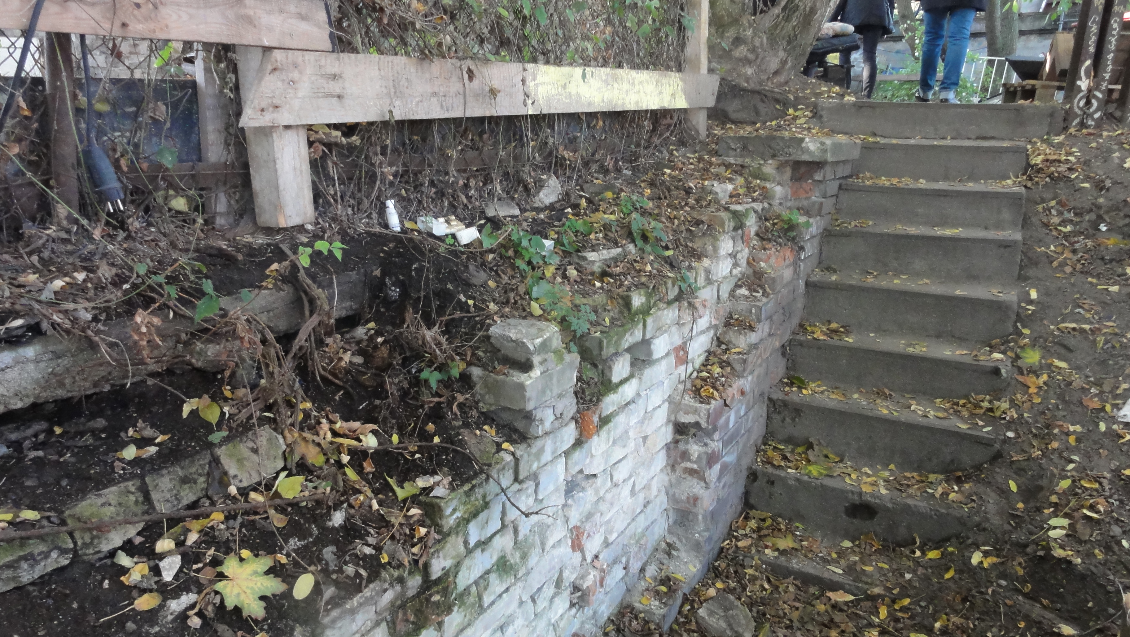
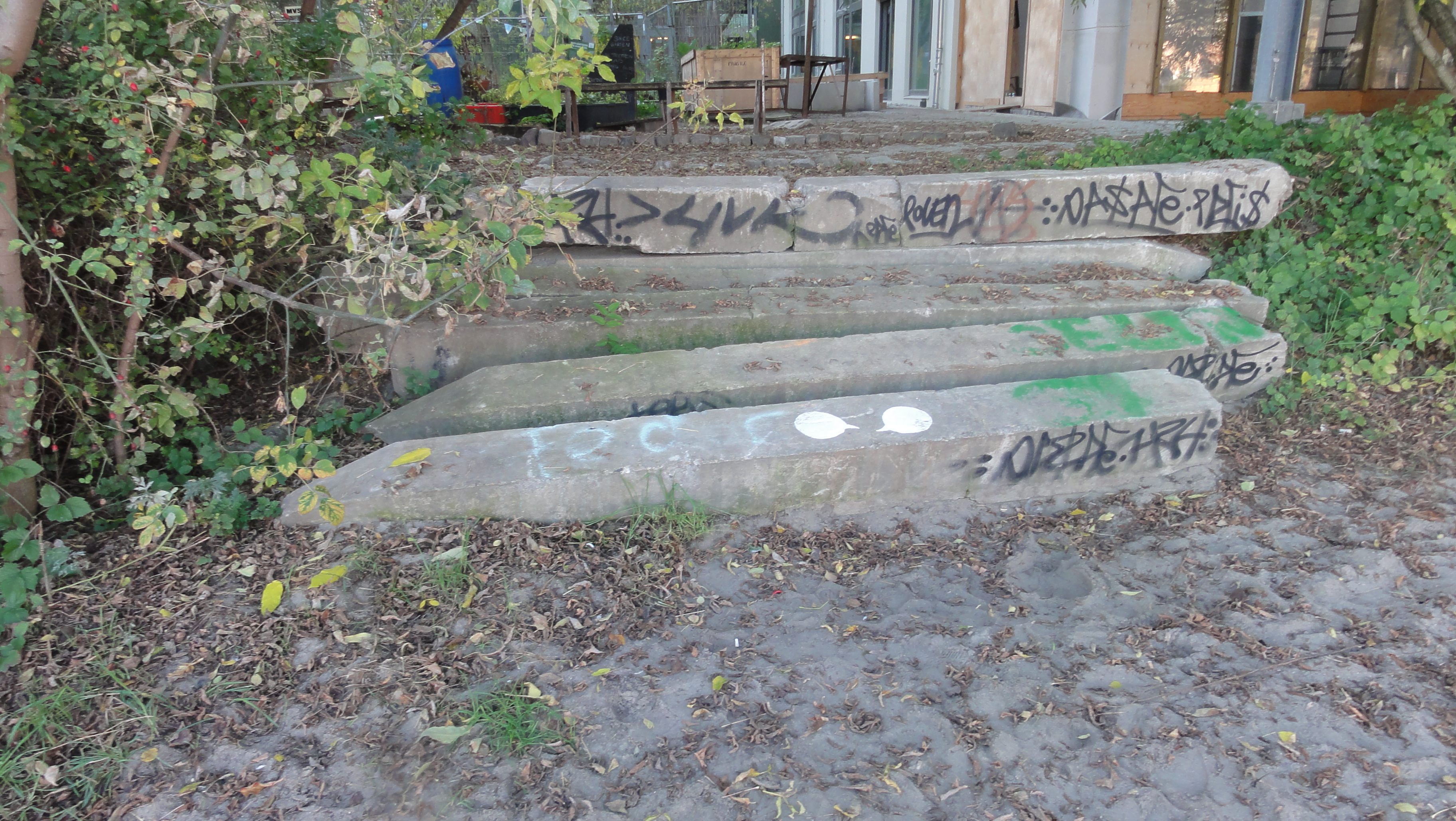
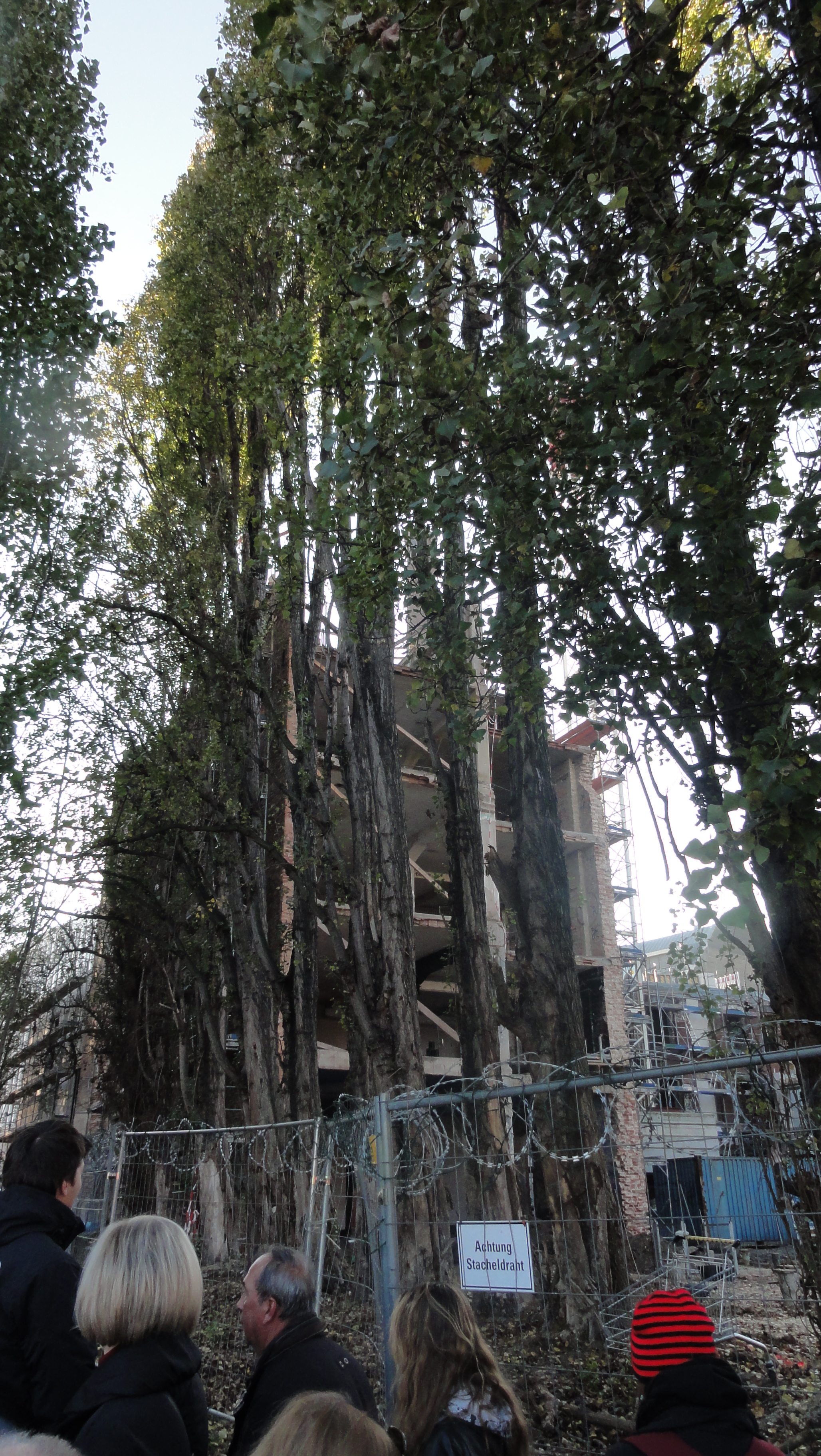
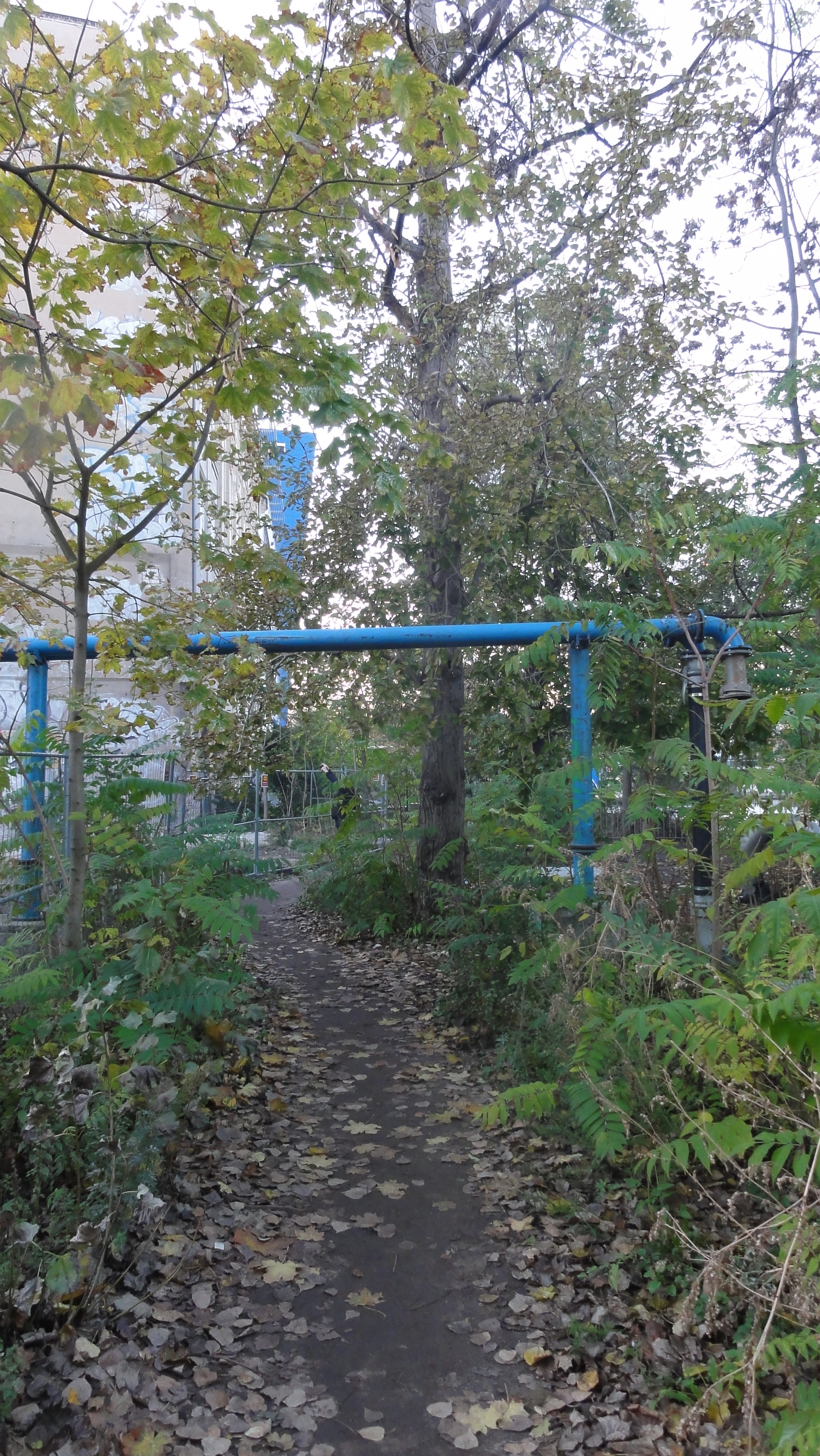
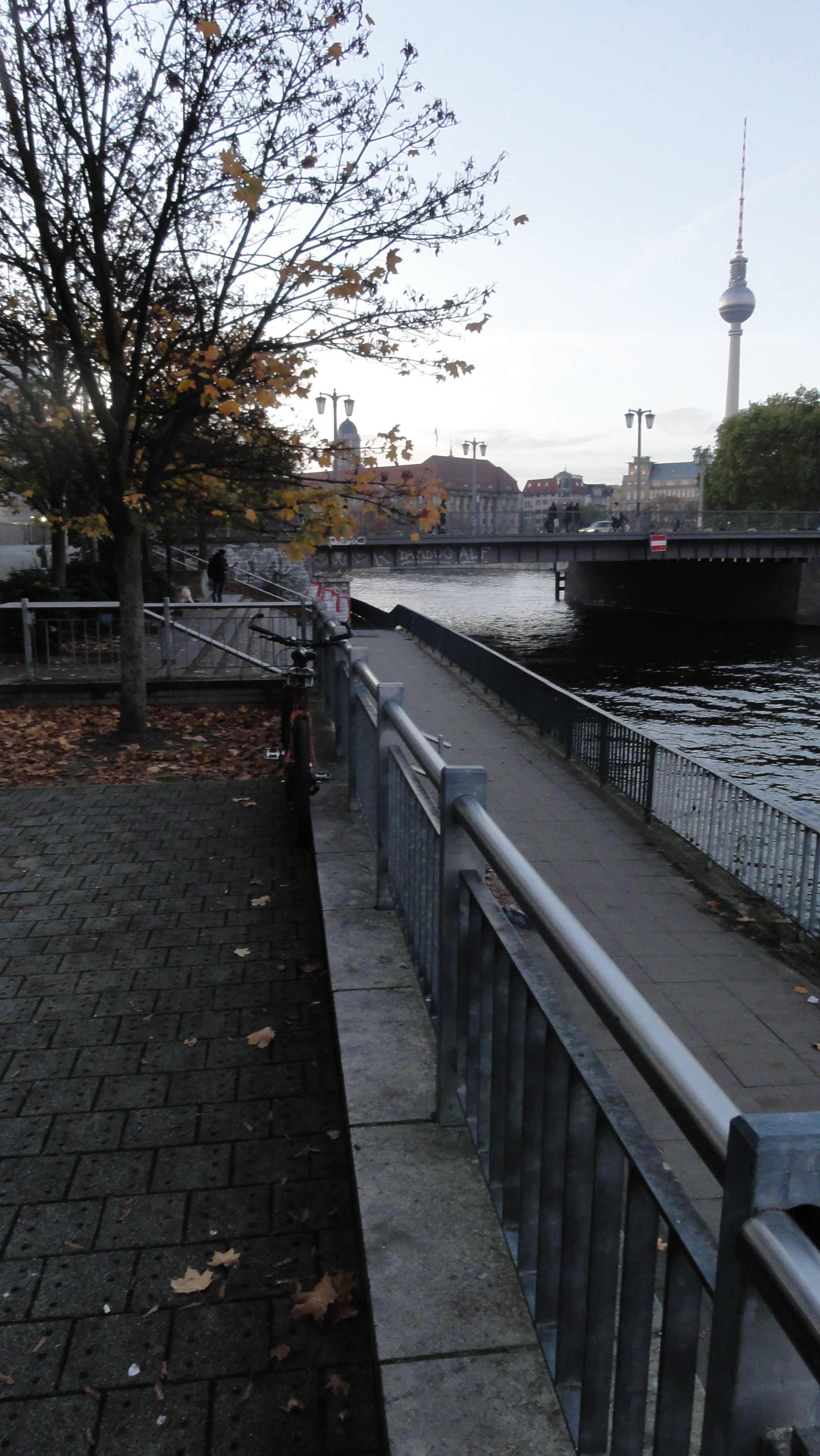
One of the participants was a Berlin Wall expert, and he explained to us the origins of all these wrotten wire and fences and concrete posts. Even the rusty wire nets are of historical value !-)

|
|
2014:10:28 15:24:43 52 deg 30' 34.96" N, 13 deg 25' 37.63" E
294
© ml
|
|
2014:10:28 15:32:51 52 deg 30' 36.16" N, 13 deg 25' 35.30" E
 33
© ml 33
© ml
|
|
2014:10:28 15:33:02 52 deg 30' 36.34" N, 13 deg 25' 35.47" E
 61.25
© ml 61.25
© ml
|
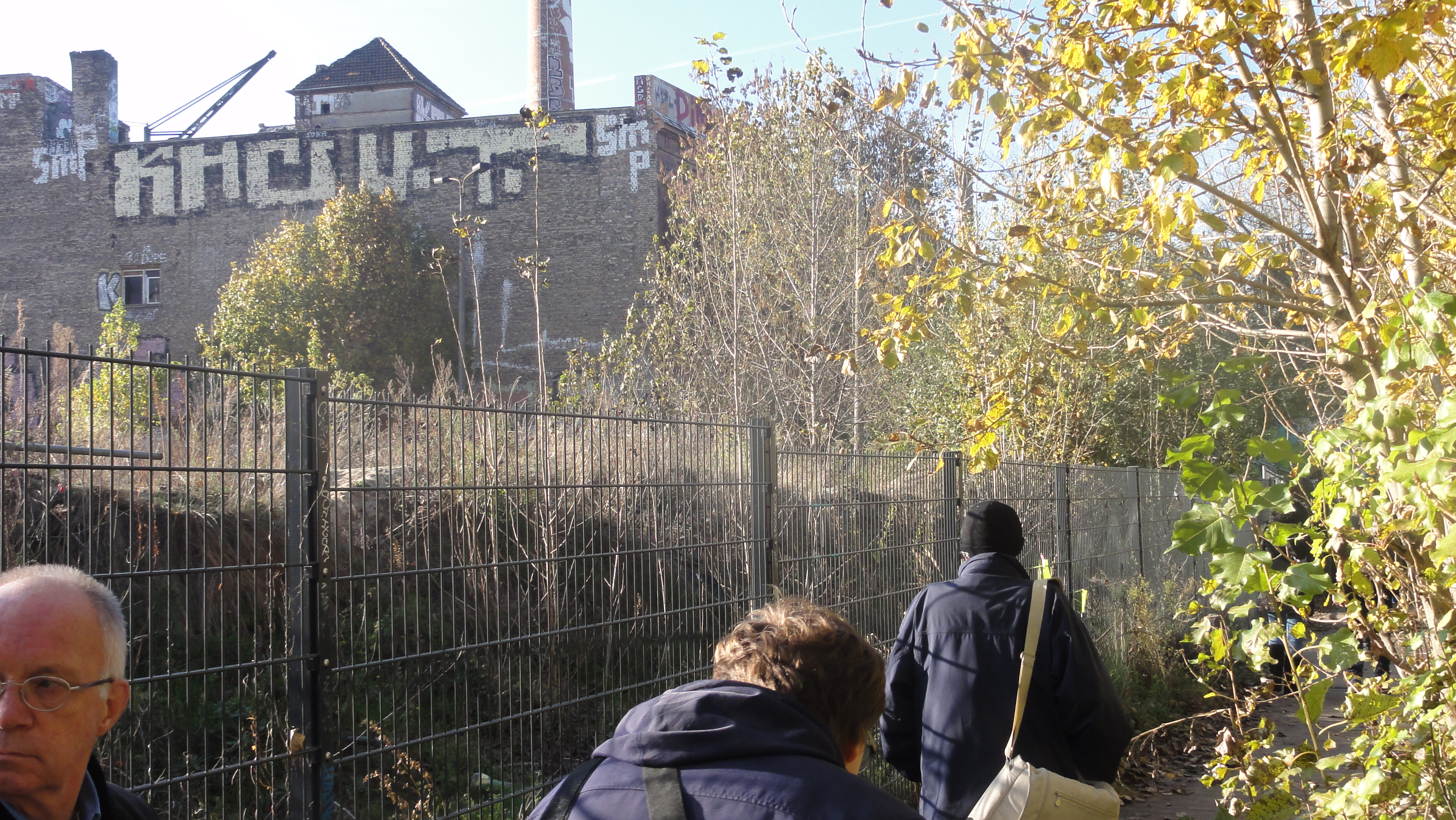
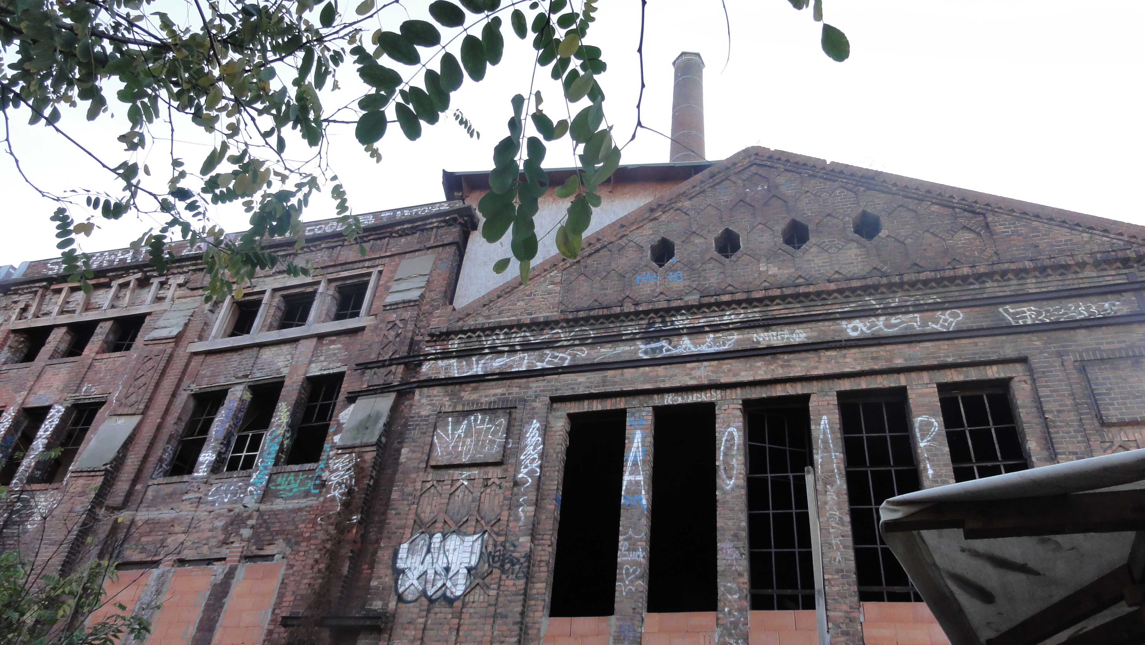
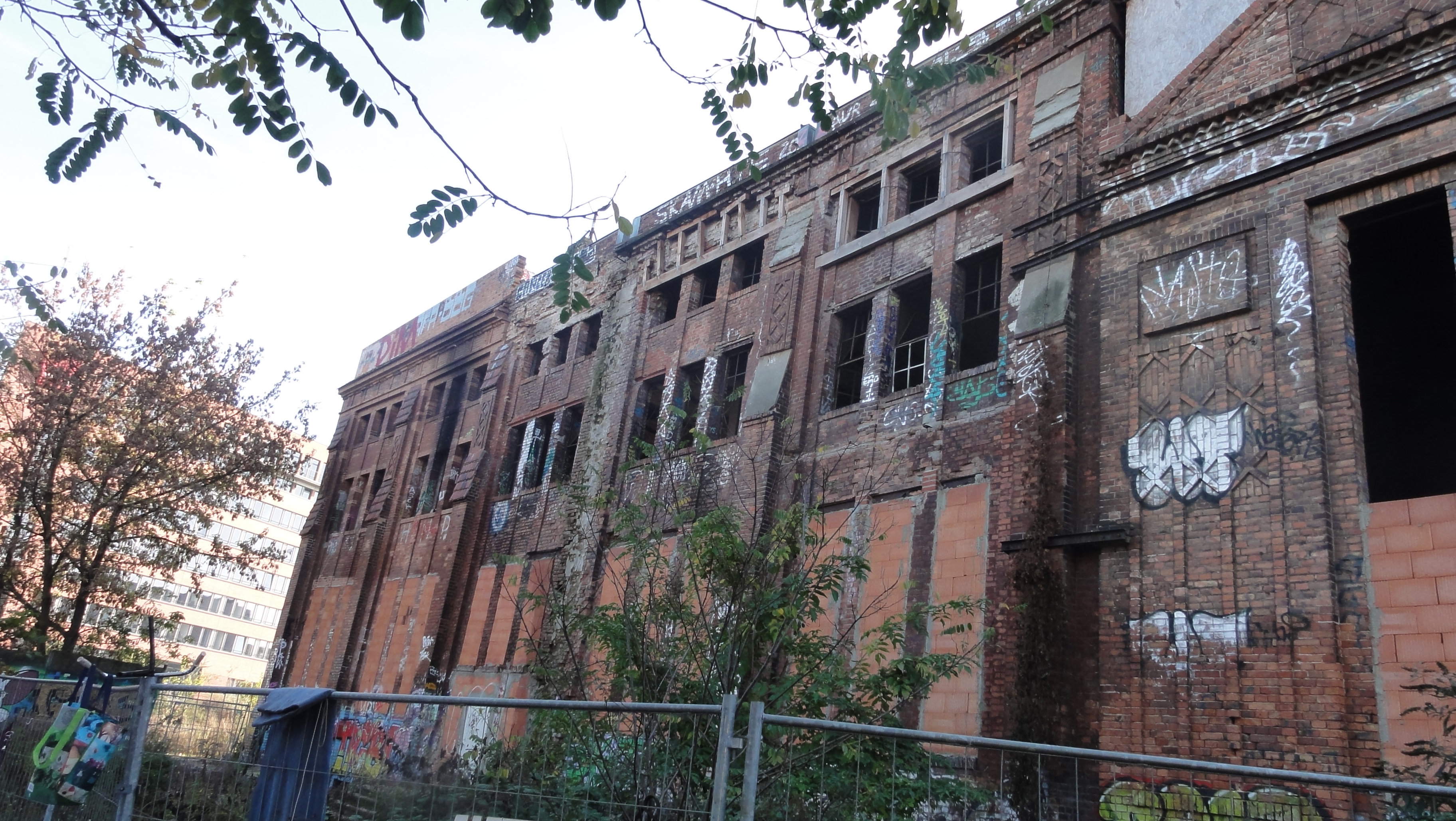
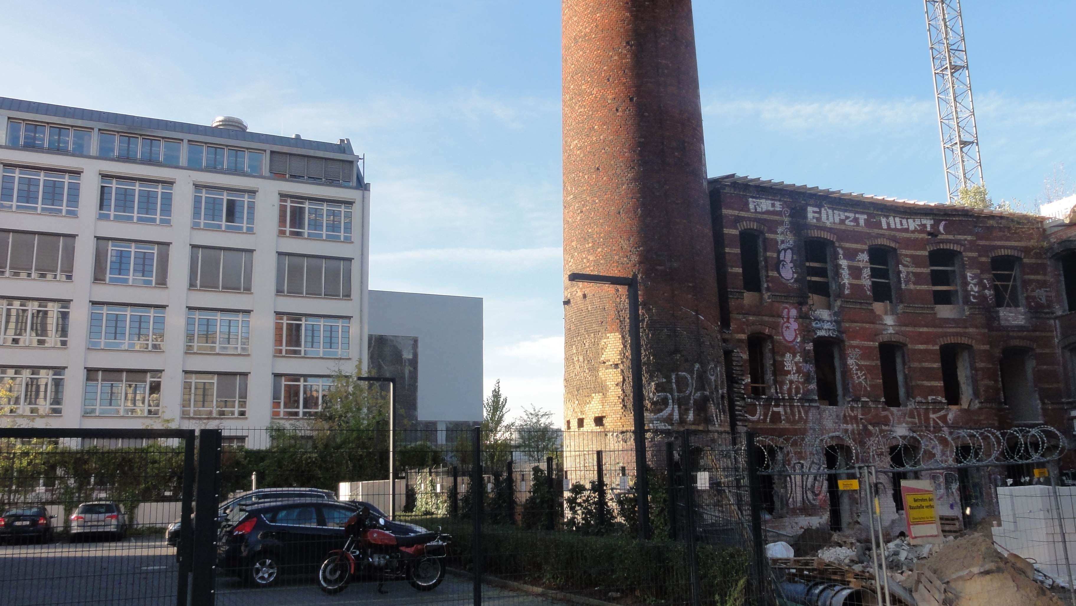
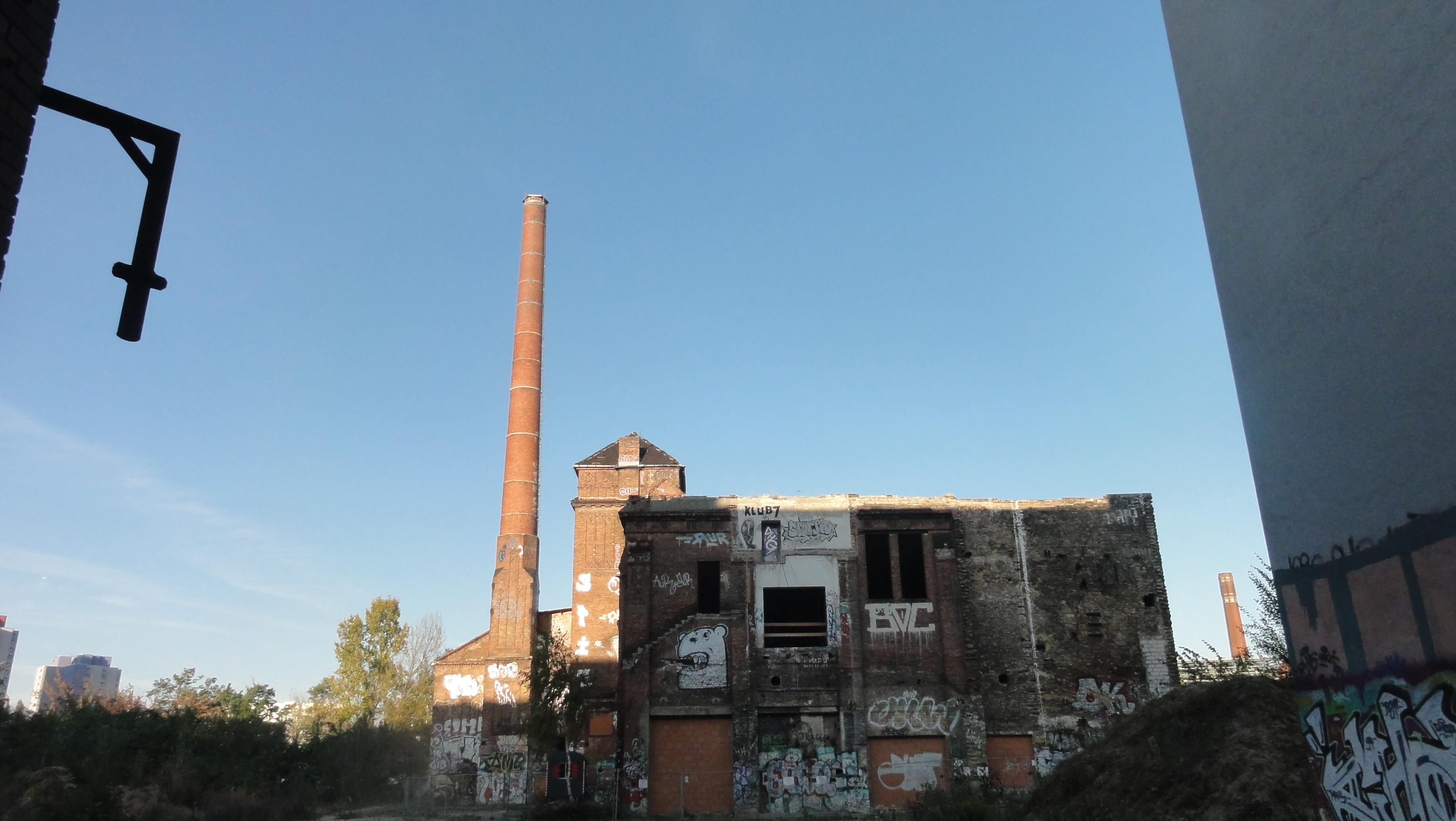
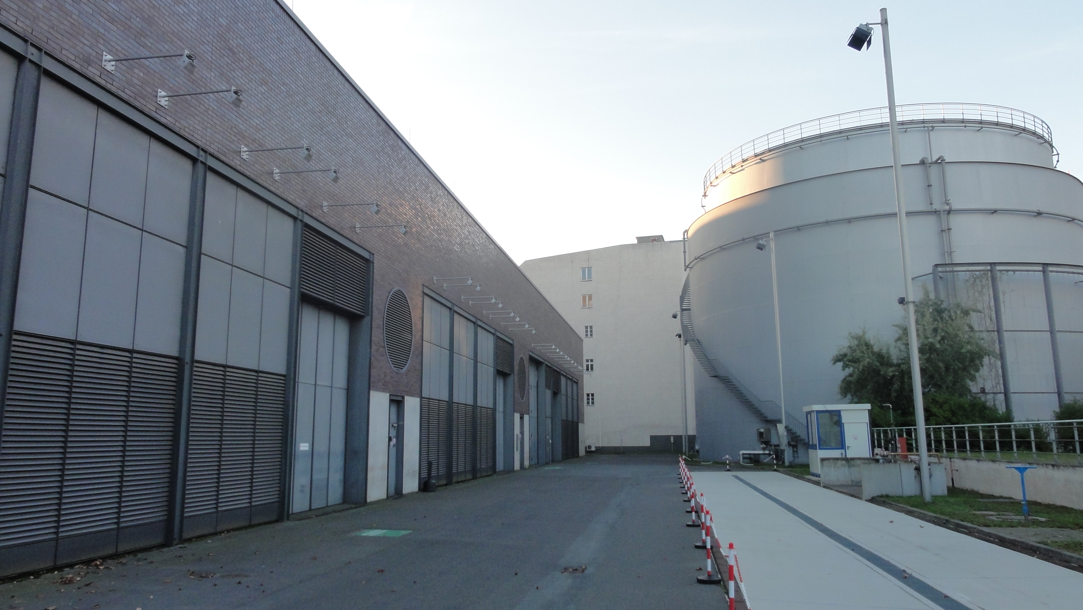
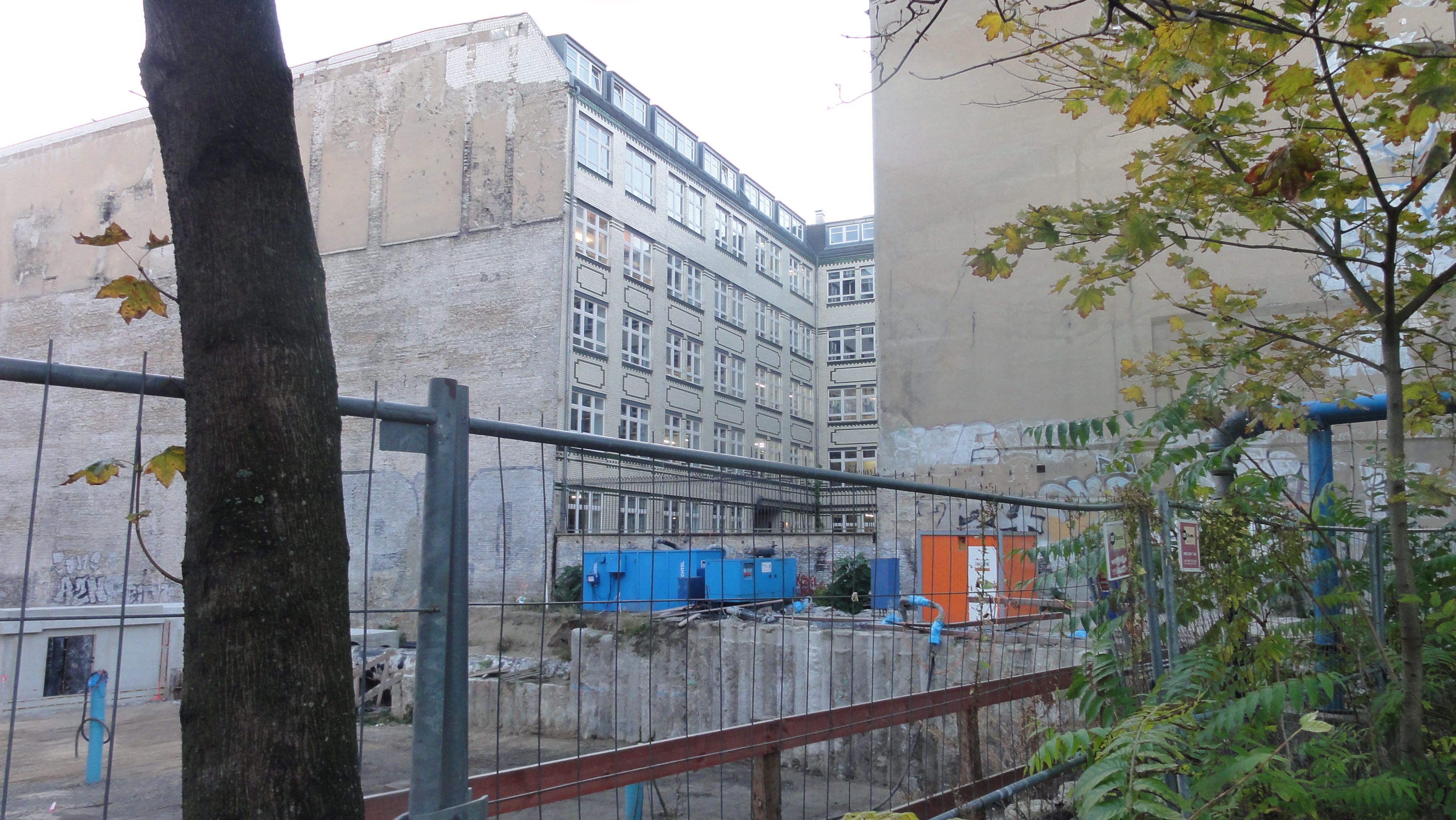
The old factories are currently under conversion to high-price appartements.
Not much of the old substance will survive, and nothing of the atmosphere.
(But capitalism rules, that's what you wanted !-)
|
|
2014:10:28 15:25:33 52 deg 30' 34.74" N, 13 deg 25' 36.68" E
200
© ml
|
|
2014:10:28 15:25:38 52 deg 30' 34.74" N, 13 deg 25' 36.68" E
 169.75
© ml 169.75
© ml
|
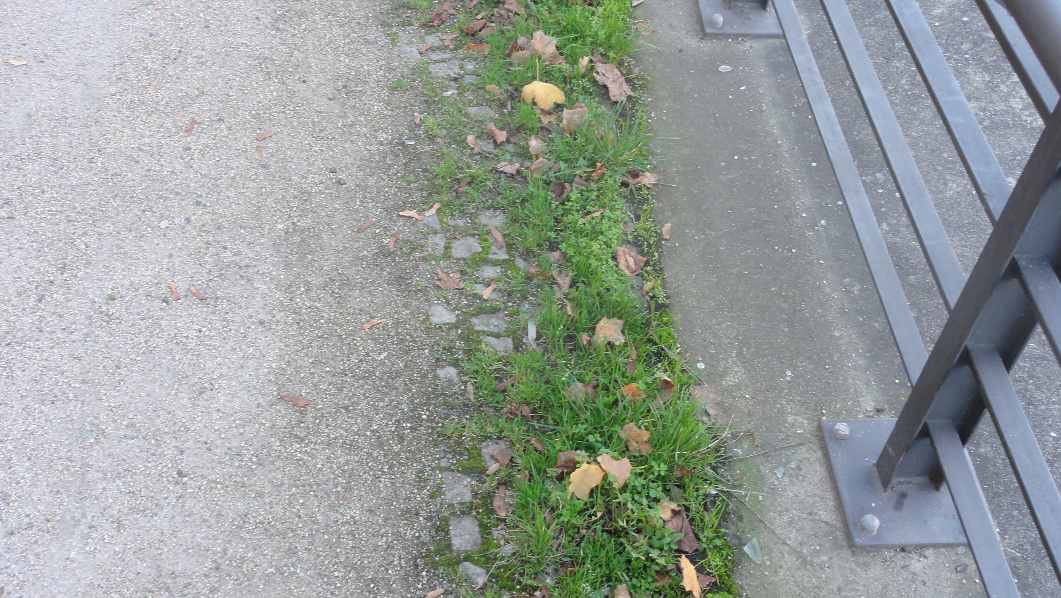
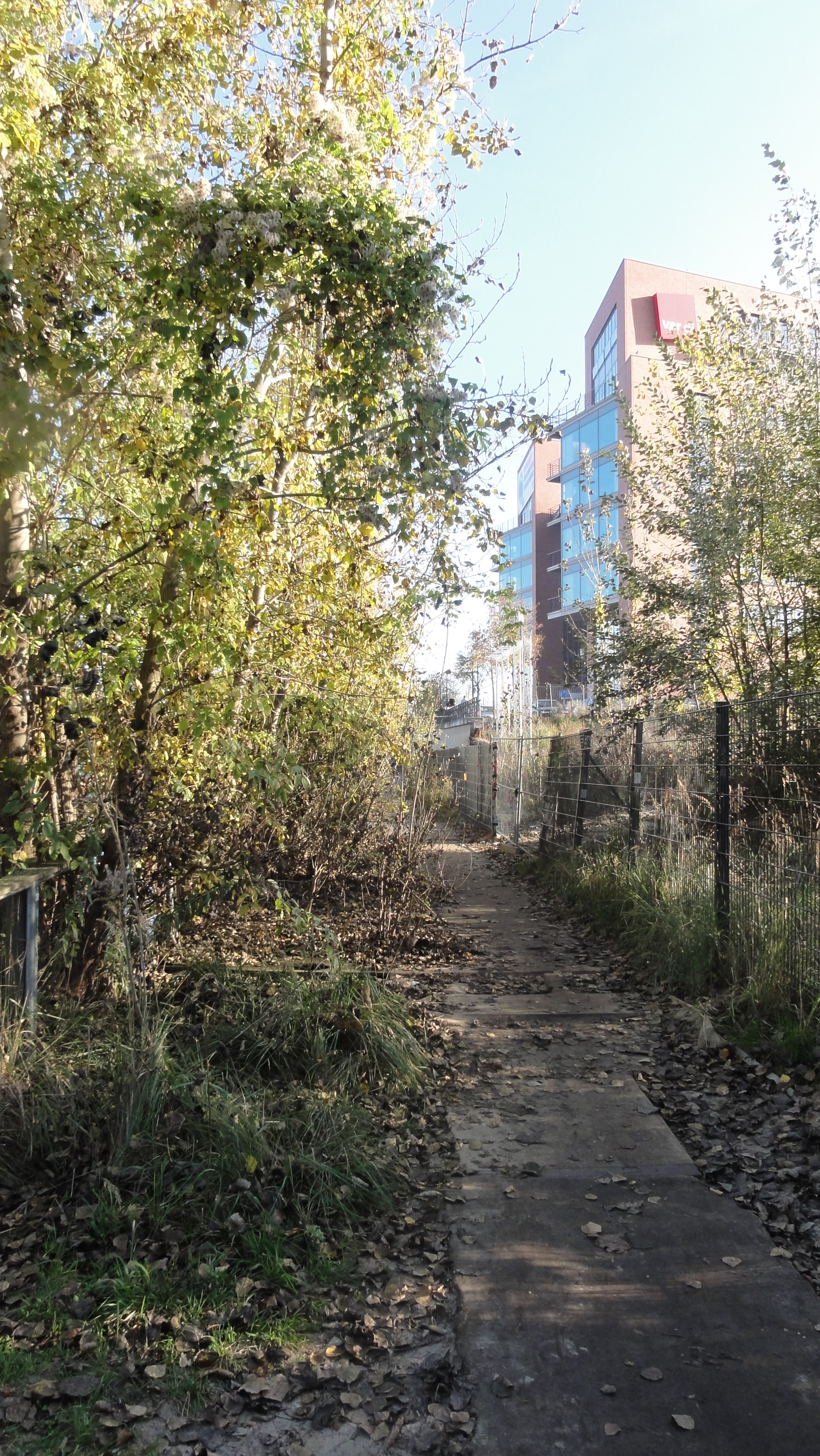
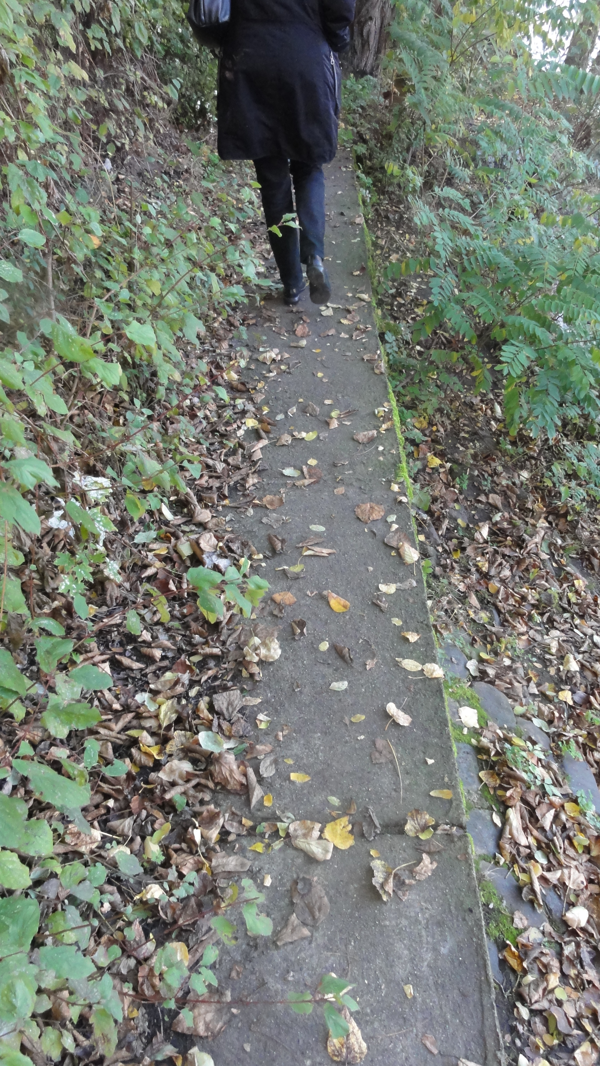
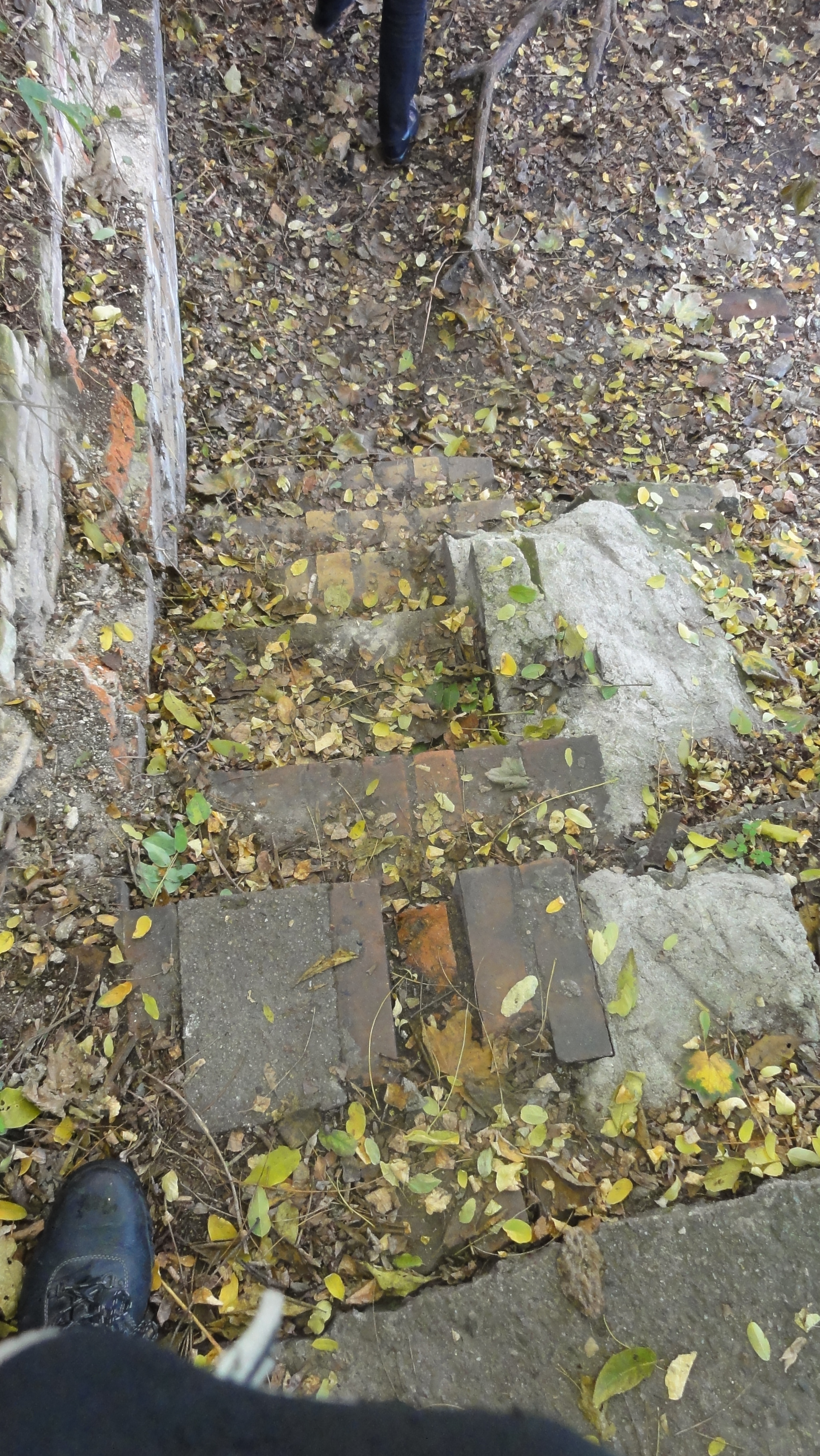
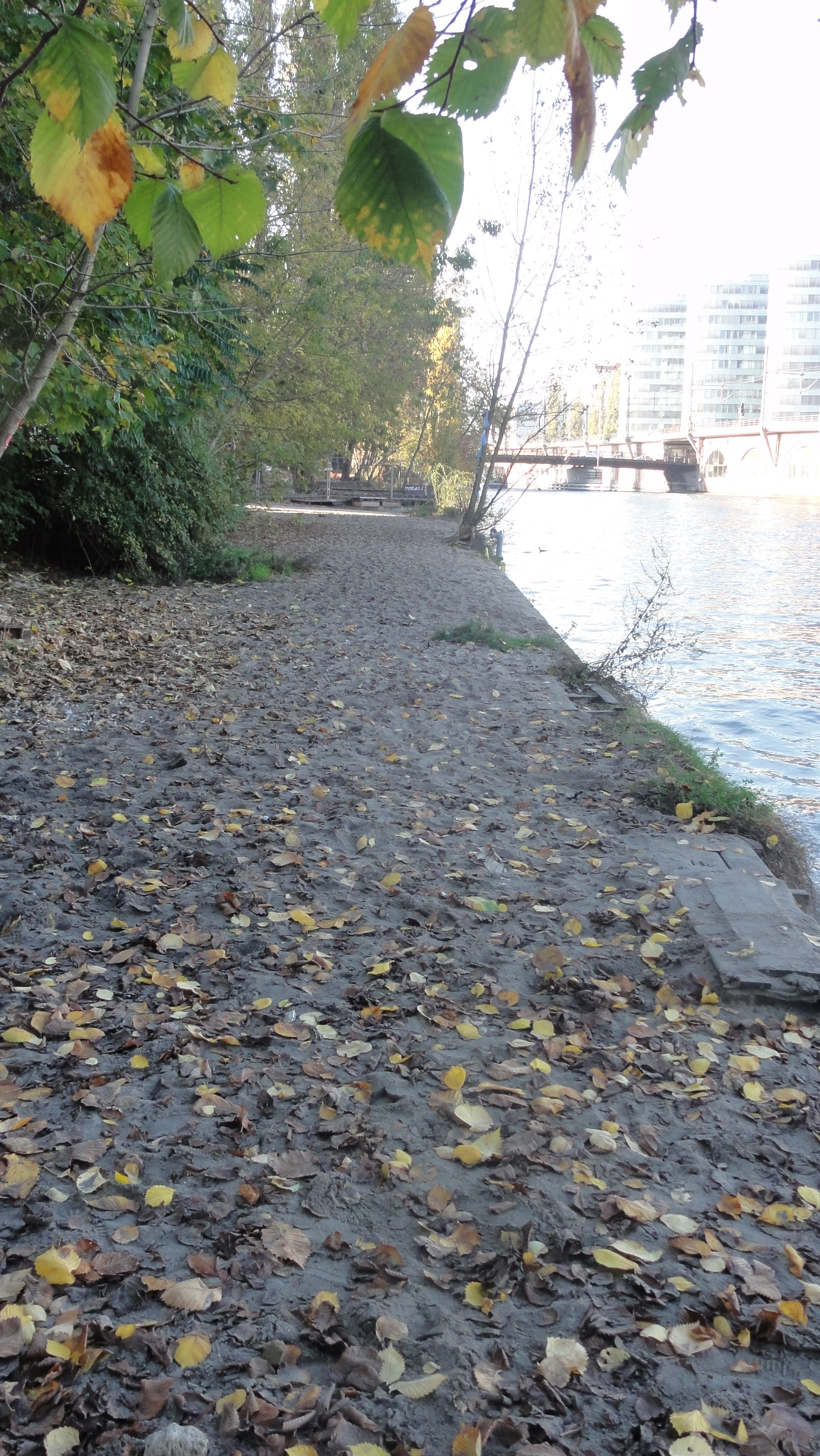
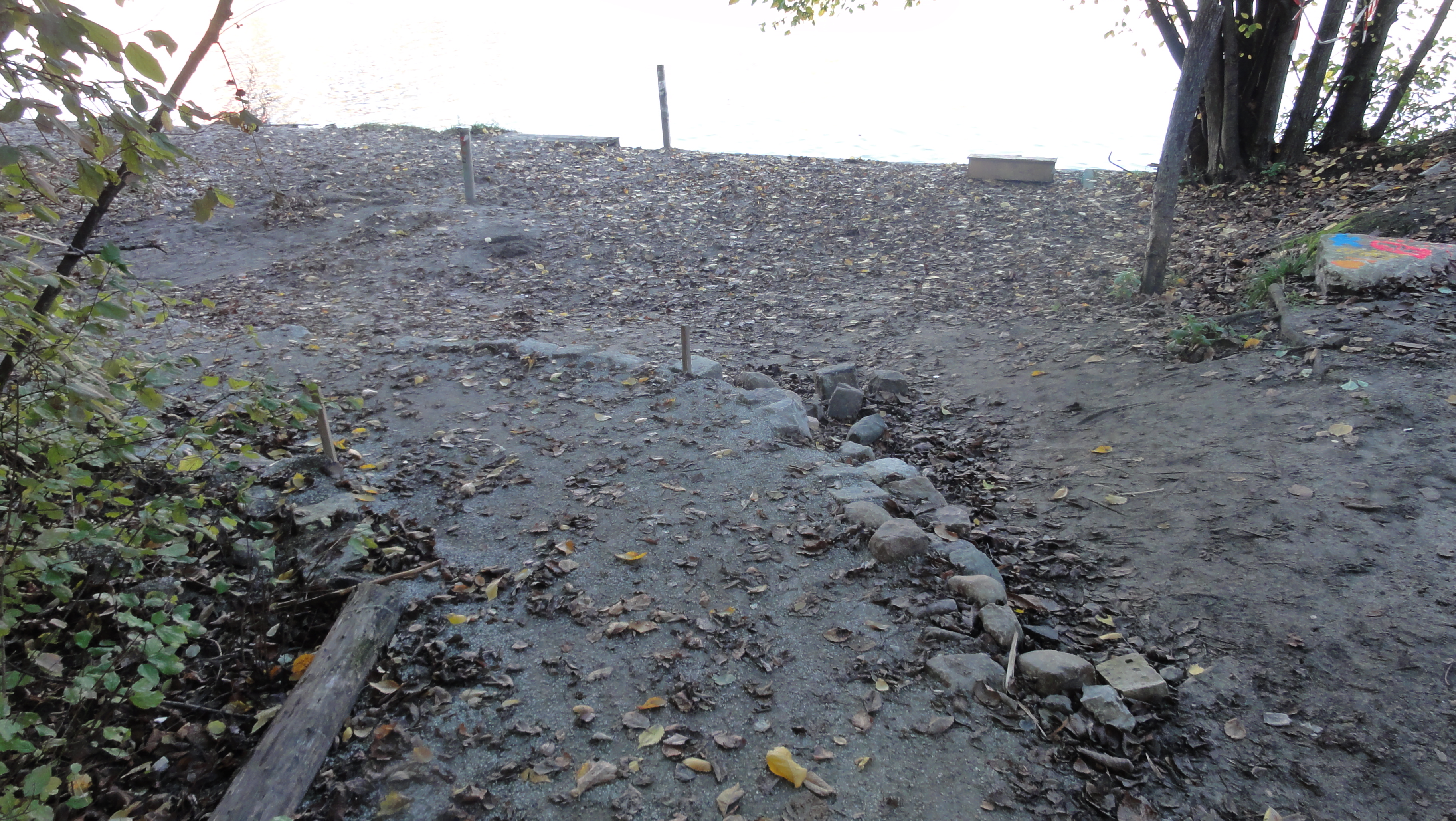
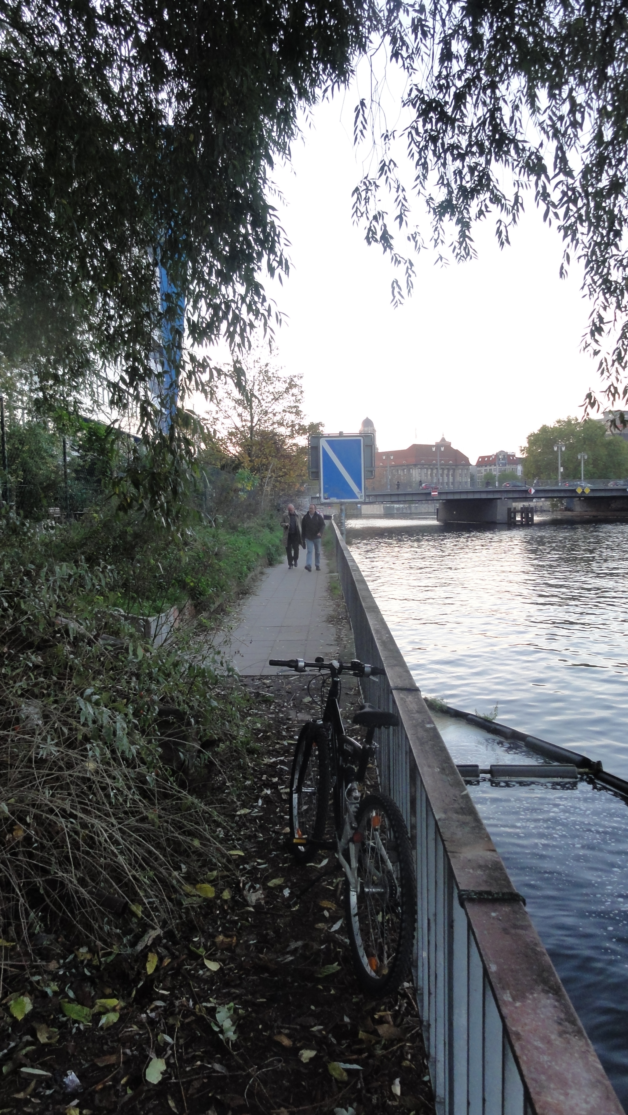
Old border control path, concrete:
|
|
2014:10:28 15:33:34 52 deg 30' 36.80" N, 13 deg 25' 35.33" E
310.5
© ml
|
|
|
2014:10:28 15:33:56 52 deg 30' 37.43" N, 13 deg 25' 34.58" E
41.5
© ml
|
|
|
2014:10:28 15:34:06 52 deg 30' 37.43" N, 13 deg 25' 34.58" E
292.25
© ml
|
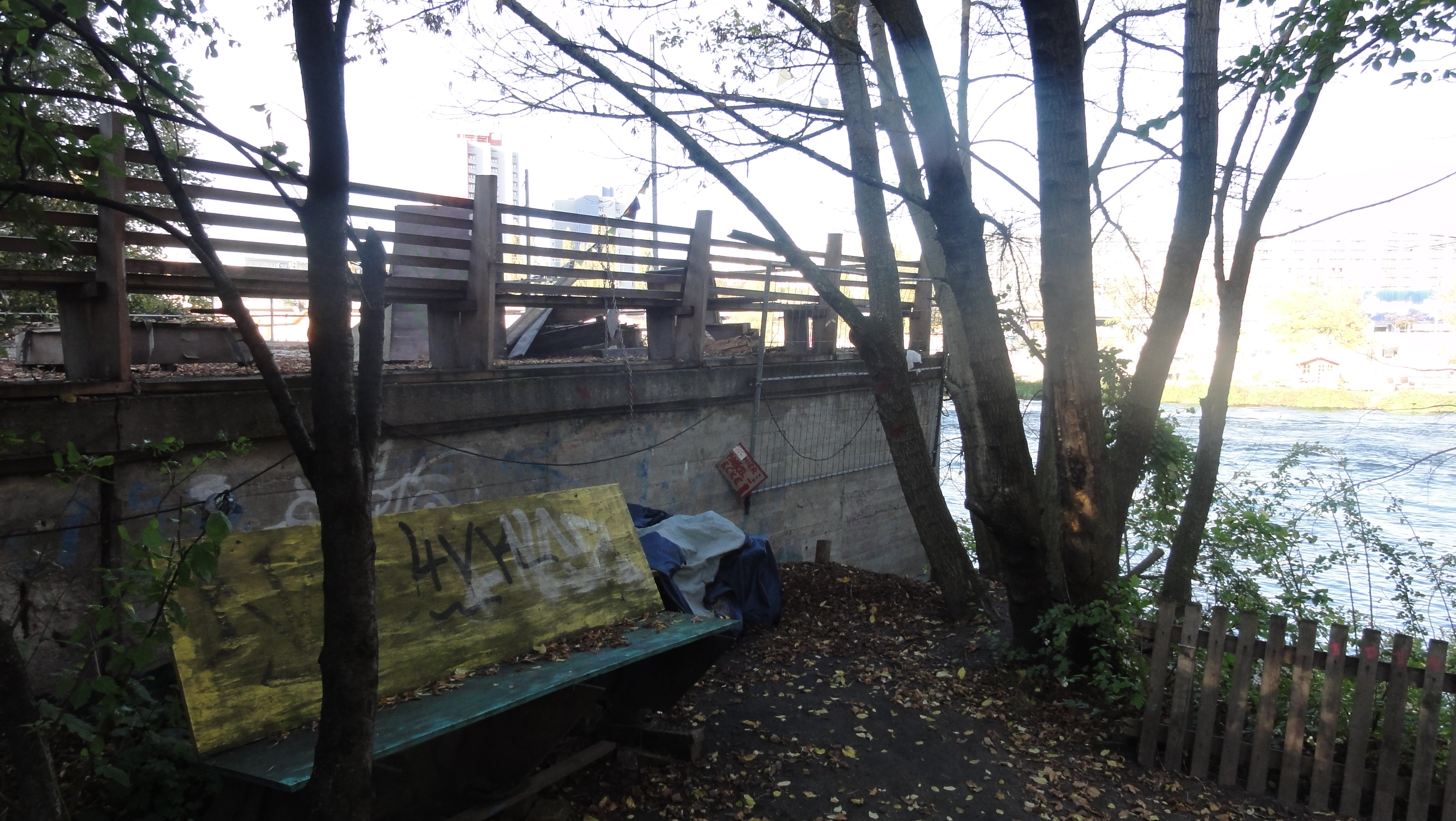
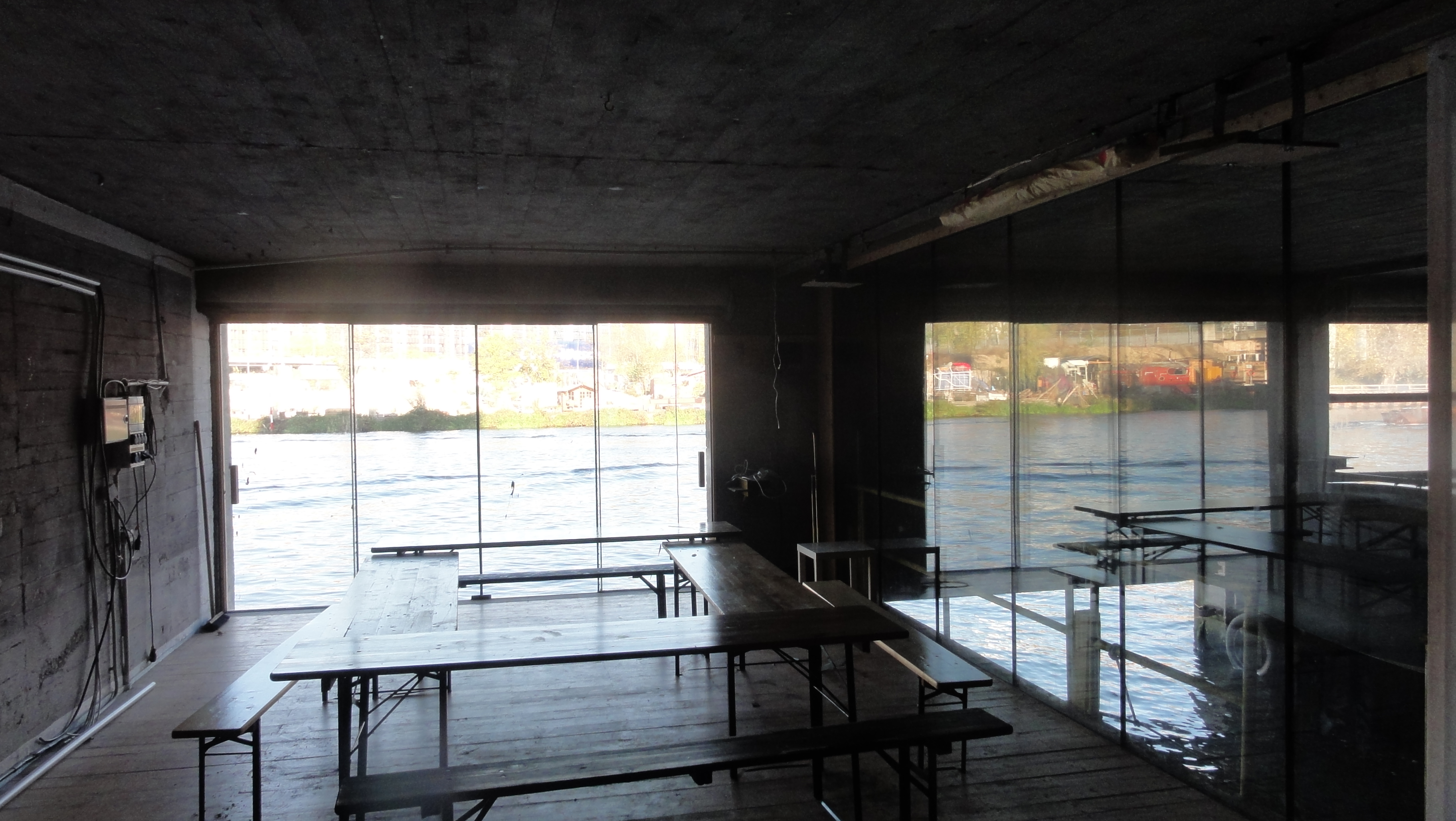
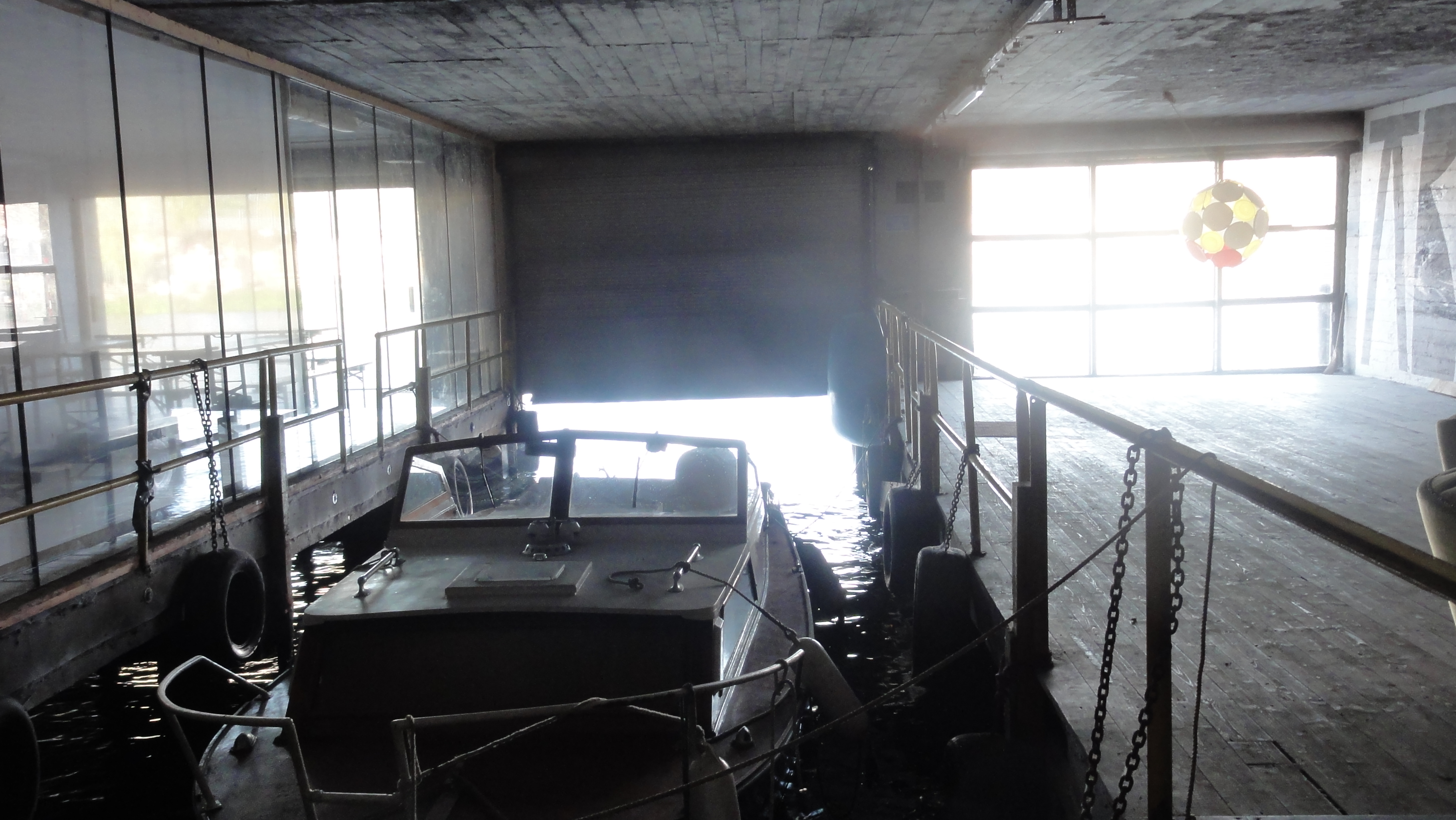
The old patrol boat garage:
|
|
2014:10:28 15:34:30 52 deg 30' 37.26" N, 13 deg 25' 34.49" E
30.25
© ml
|
|
|
2014:10:28 15:42:48 52 deg 30' 36.58" N, 13 deg 25' 33.13" E
279
© ml
|
|
2014:10:28 15:41:21 52 deg 30' 36.58" N, 13 deg 25' 33.13" E
 255.25
© ml 255.25
© ml
|
|
|
2014:10:28 15:41:45 52 deg 30' 36.58" N, 13 deg 25' 33.13" E
37.5
© ml
|
|
2014:10:28 15:42:12 52 deg 30' 36.58" N, 13 deg 25' 33.13" E
 344.5
© ml 344.5
© ml
|

|
2014:10:28 15:43:33 52 deg 30' 36.58" N, 13 deg 25' 33.13" E
 14.25
© ml 14.25
© ml
|
|
|
2014:10:28 15:43:46 52 deg 30' 36.58" N, 13 deg 25' 33.13" E
145.5
© ml
|
|
|
2014:10:28 15:44:46 52 deg 30' 38.48" N, 13 deg 25' 32.59" E
295.5
© ml
|
|
|
2014:10:28 15:52:46 52 deg 30' 39.50" N, 13 deg 25' 31.39" E
280.75
© ml
|
|
|
2014:10:28 15:54:05 52 deg 30' 39.50" N, 13 deg 25' 31.39" E
5.5
© ml
|
|
2014:10:28 15:55:01 52 deg 30' 38.78" N, 13 deg 25' 32.31" E
 227.25
© ml 227.25
© ml
|
|
|
2014:10:28 15:55:50 52 deg 30' 39.00" N, 13 deg 25' 32.12" E
273.75
© ml
|
|
|
2014:10:28 16:01:15 52 deg 30' 39.02" N, 13 deg 25' 29.75" E
249.25
© ml
|
|
|
2014:10:28 16:03:45 52 deg 30' 39.75" N, 13 deg 25' 30.10" E
298.25
© ml
|
|
|
2014:10:28 16:03:51 52 deg 30' 39.75" N, 13 deg 25' 30.10" E
318.5
© ml
|
|
|
2014:10:28 16:03:58 52 deg 30' 39.75" N, 13 deg 25' 30.10" E
322.75
© ml
|
|
2014:10:28 16:04:20 52 deg 30' 38.44" N, 13 deg 25' 28.65" E
 92
© ml 92
© ml
|
|
|
2014:10:28 16:09:06 52 deg 30' 38.62" N, 13 deg 25' 28.15" E
354
© ml
|
|
|
2014:10:28 16:15:18 52 deg 30' 38.62" N, 13 deg 25' 28.15" E
295
© ml
|
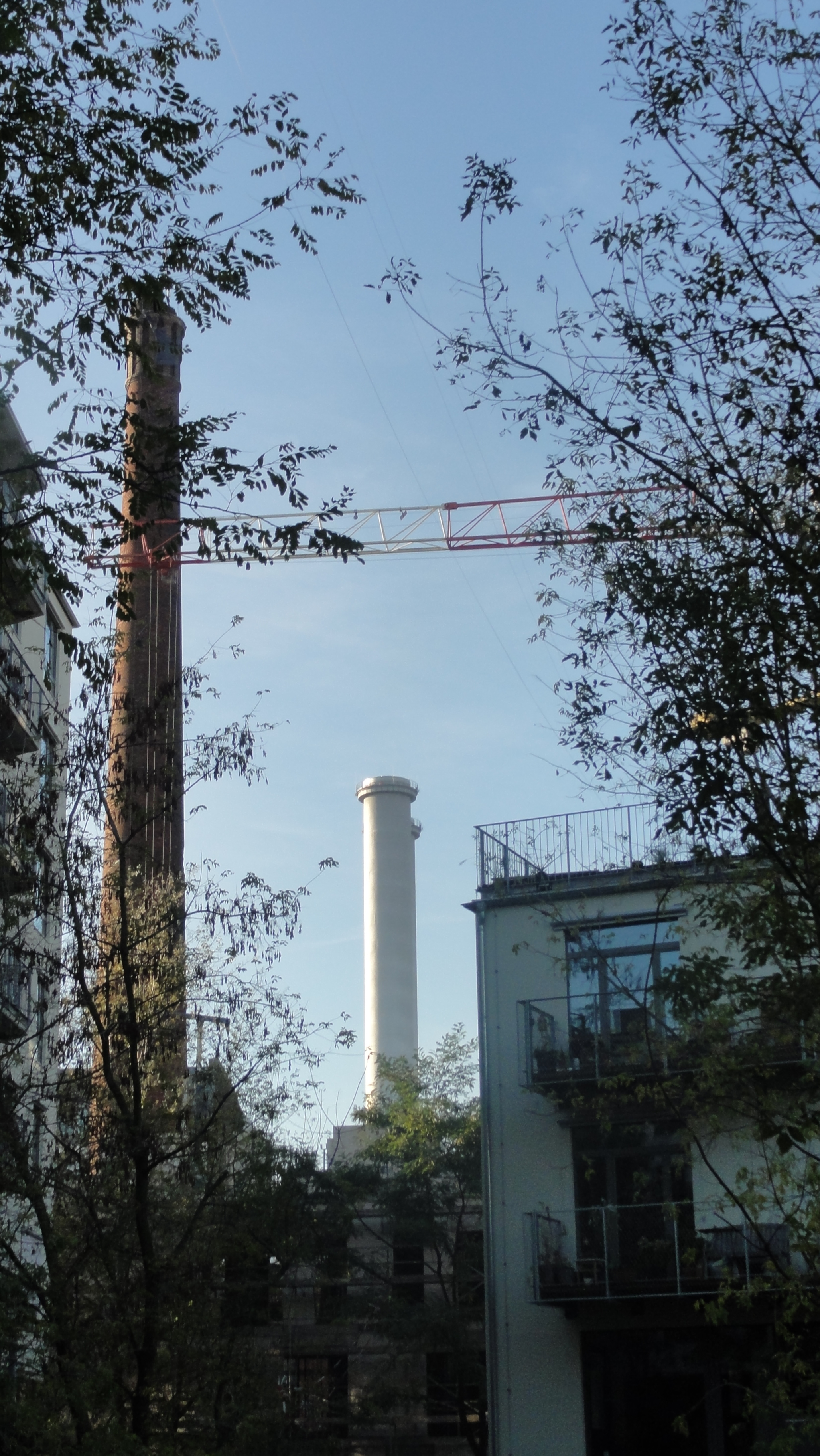
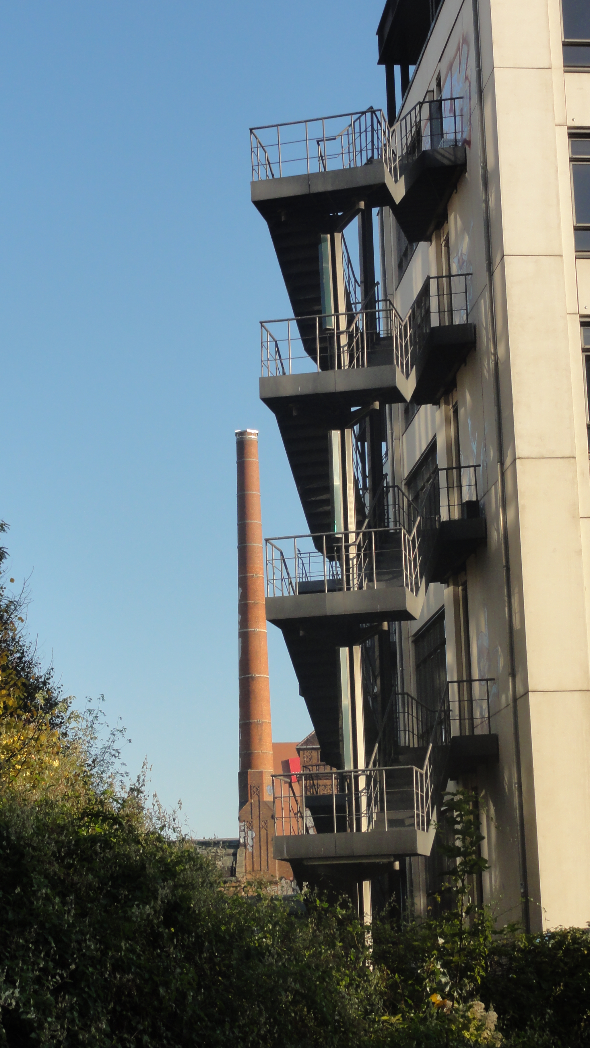
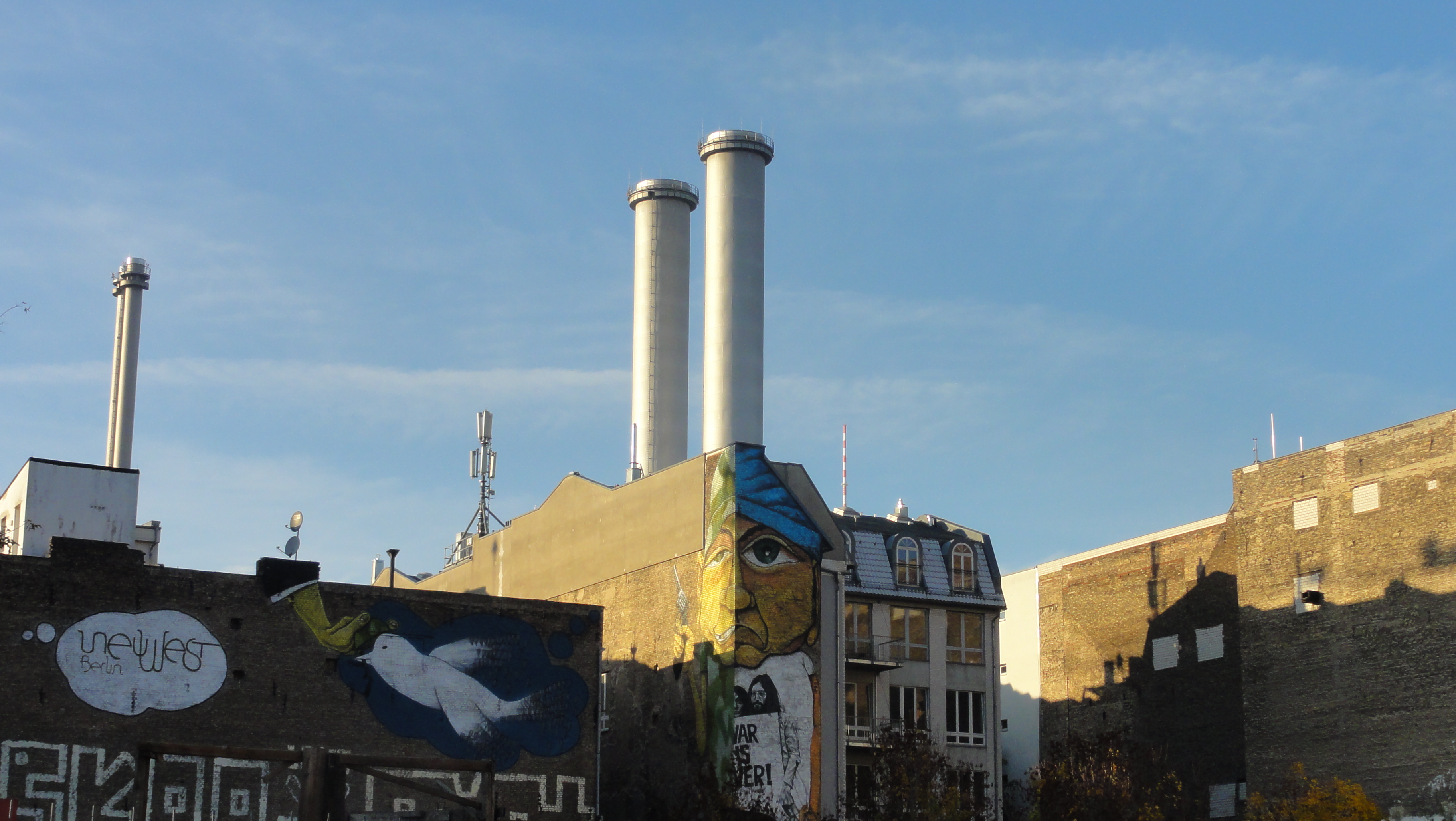
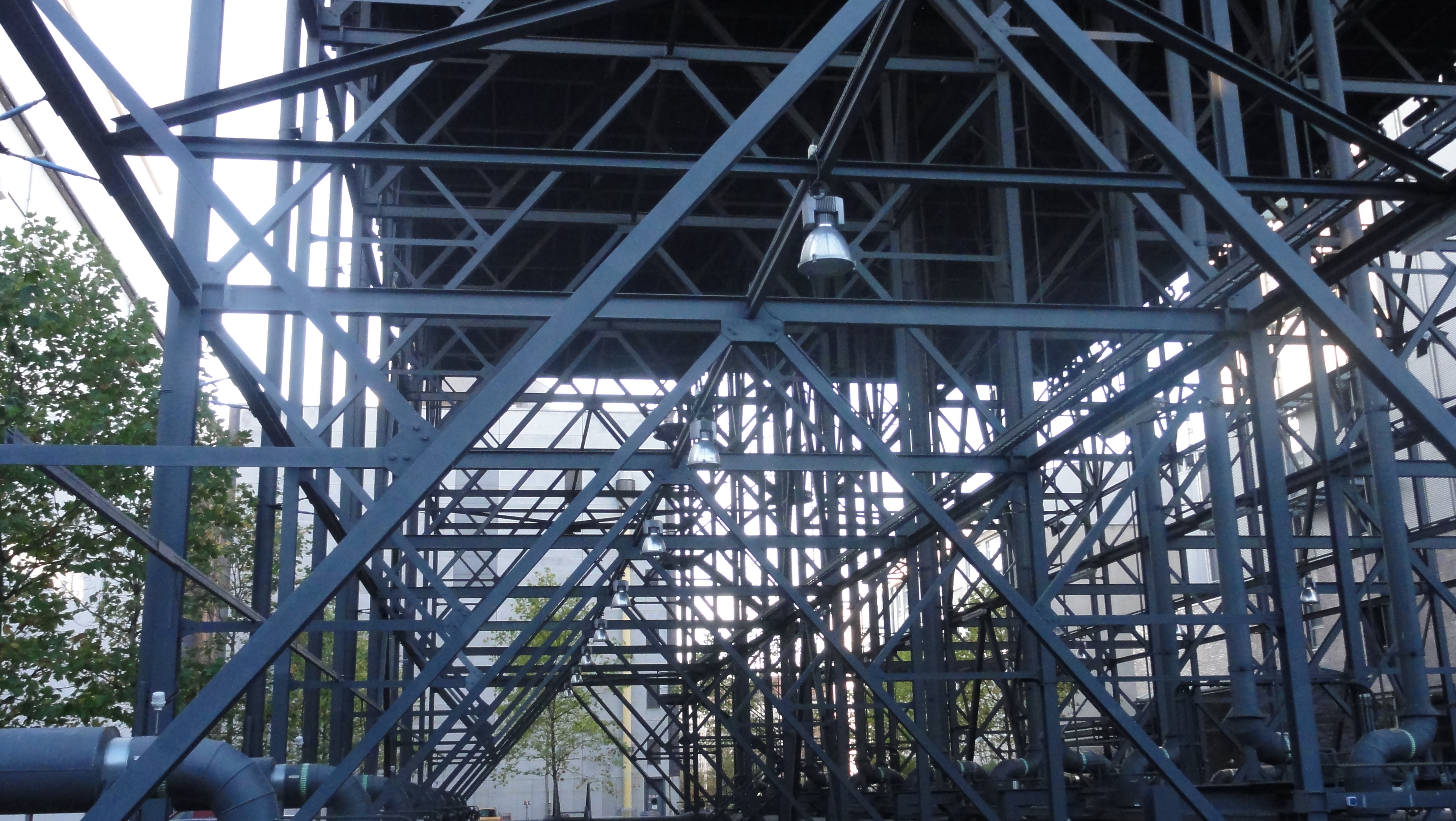
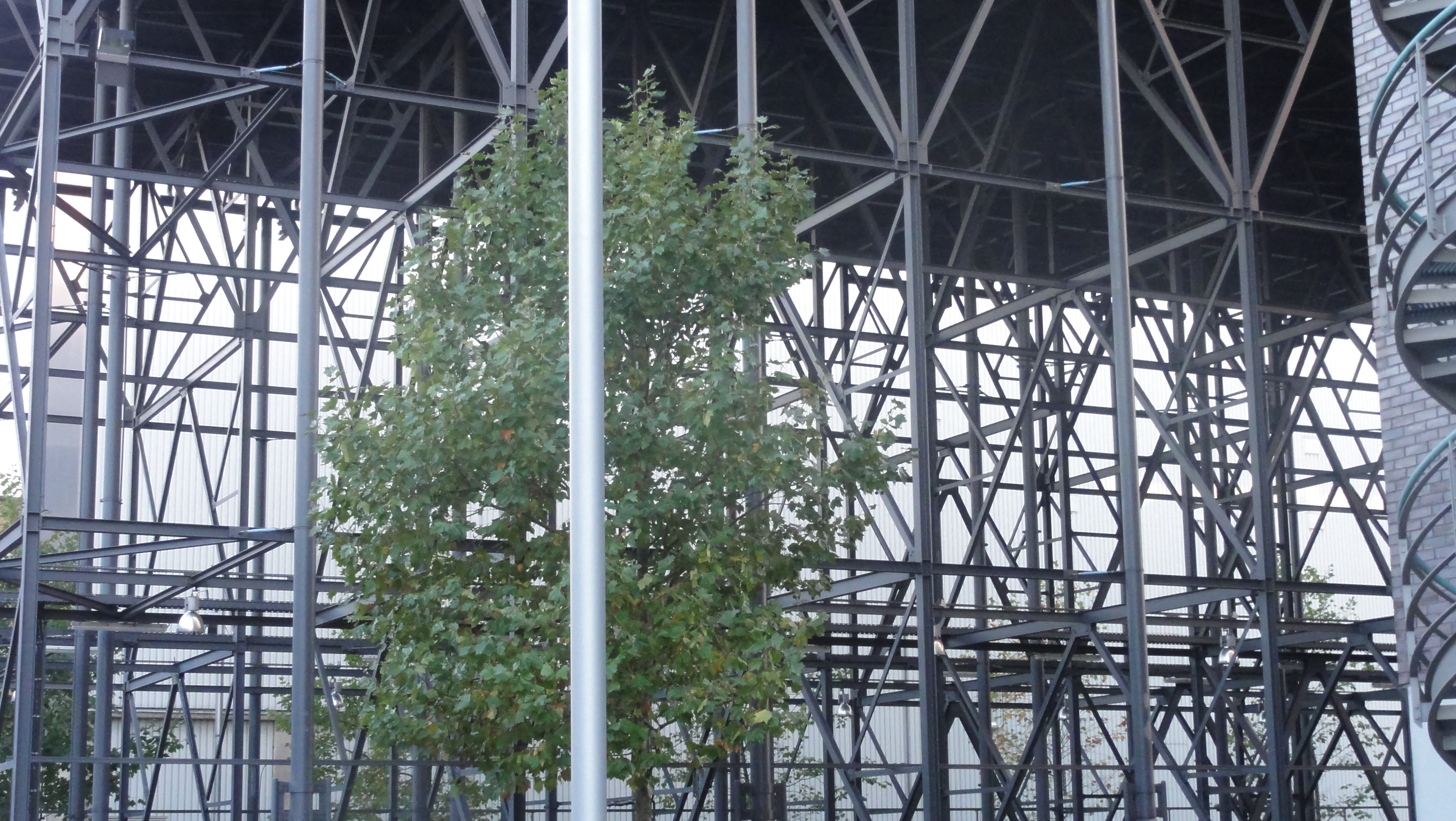
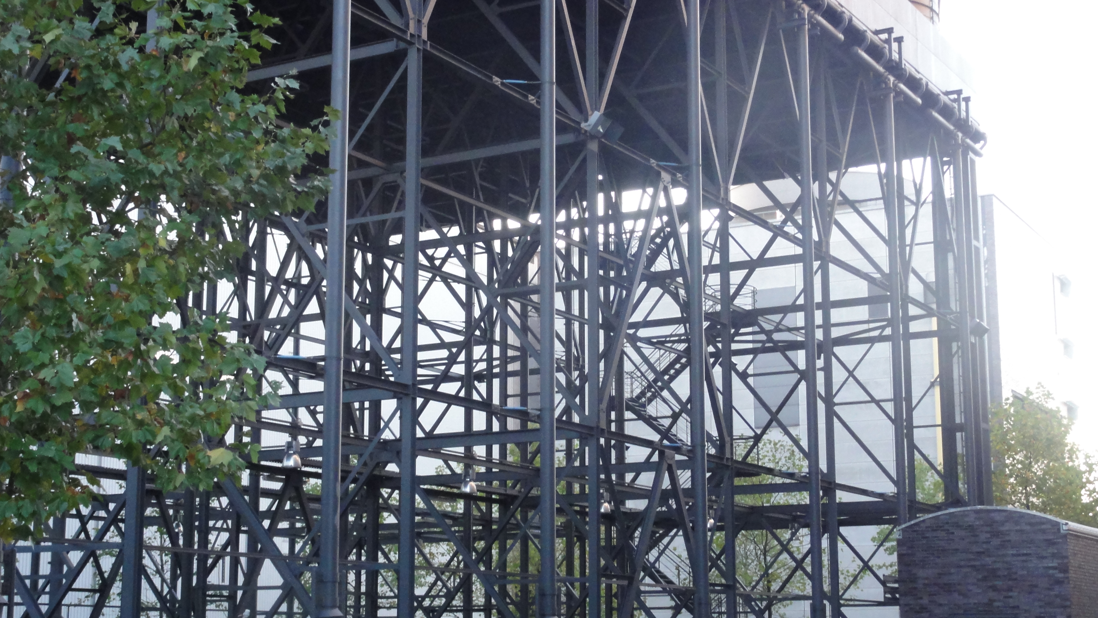
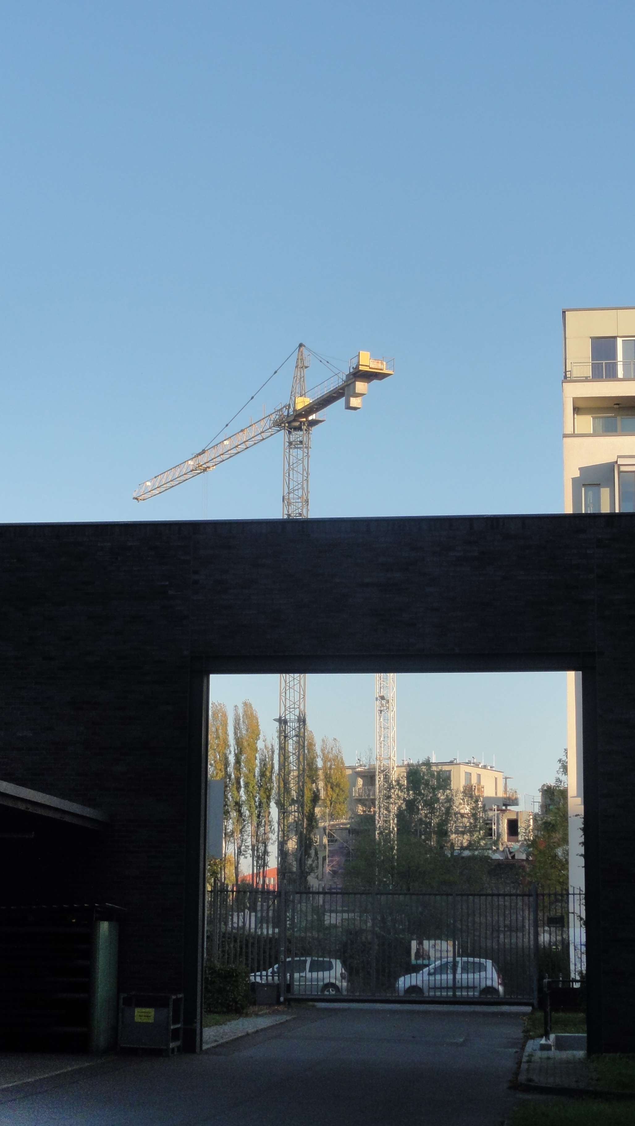
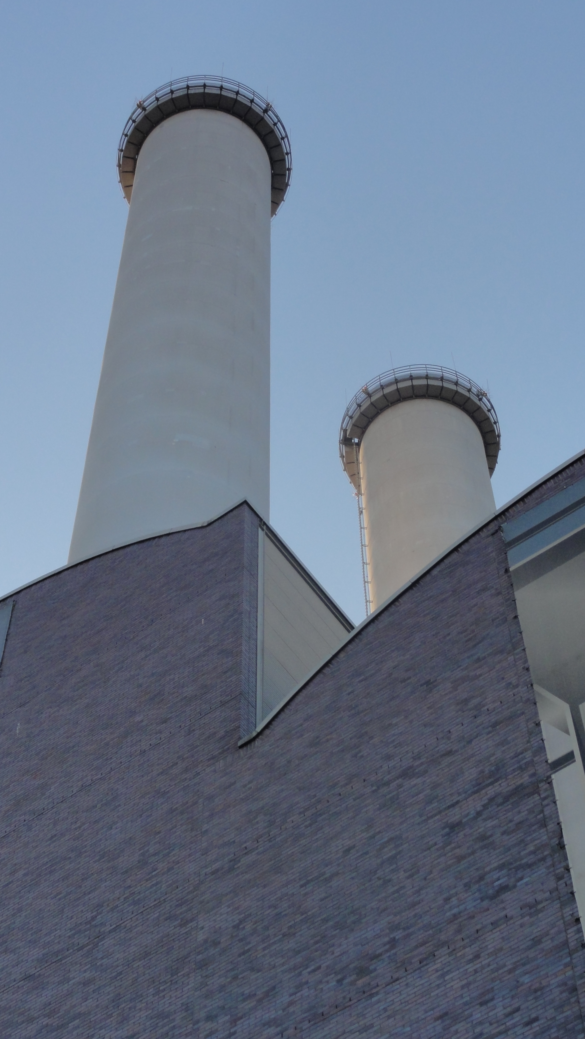
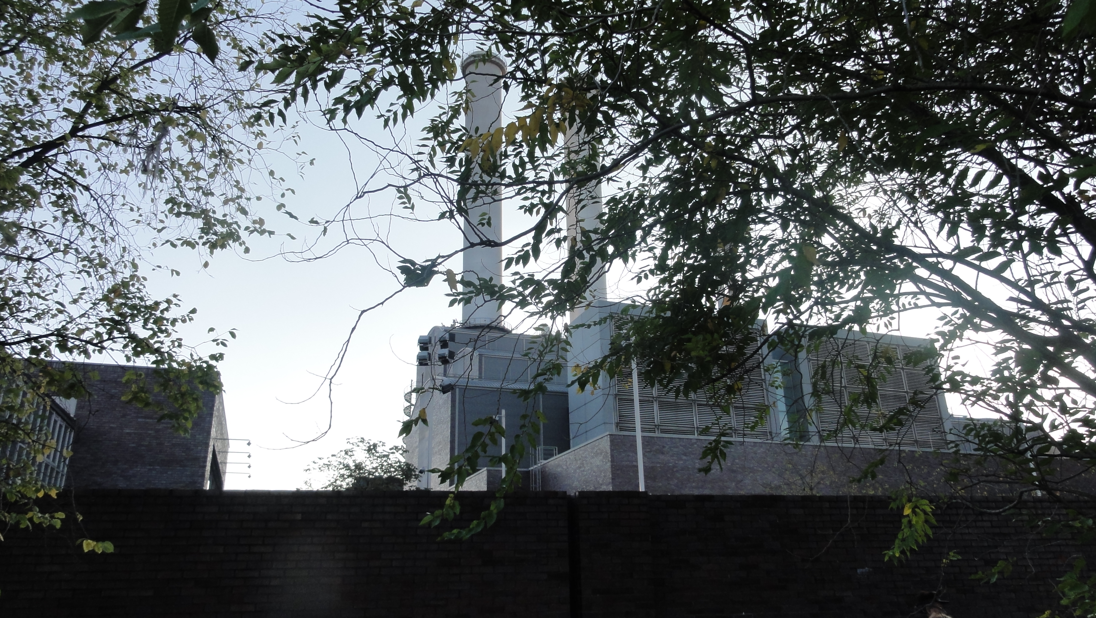
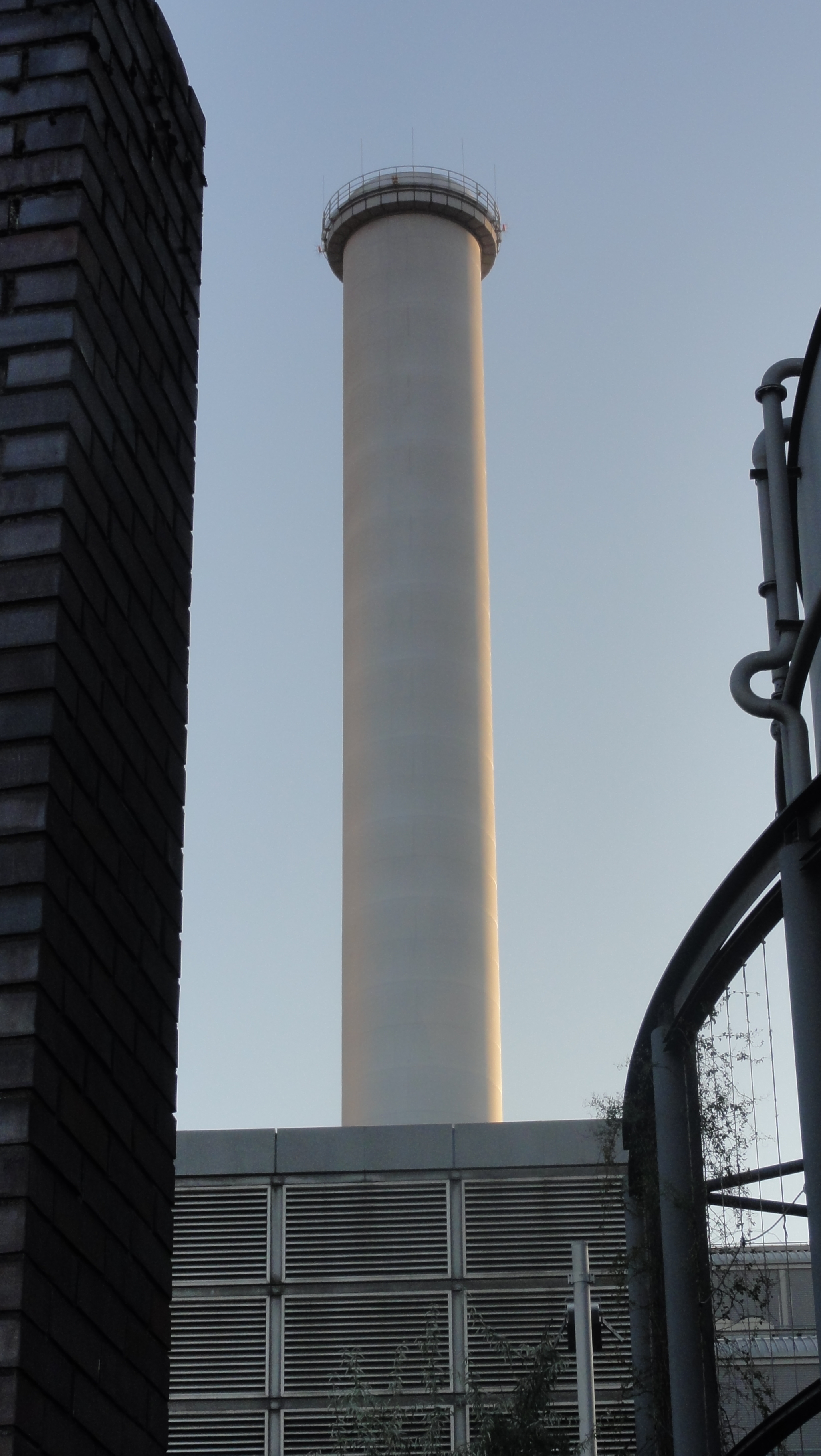
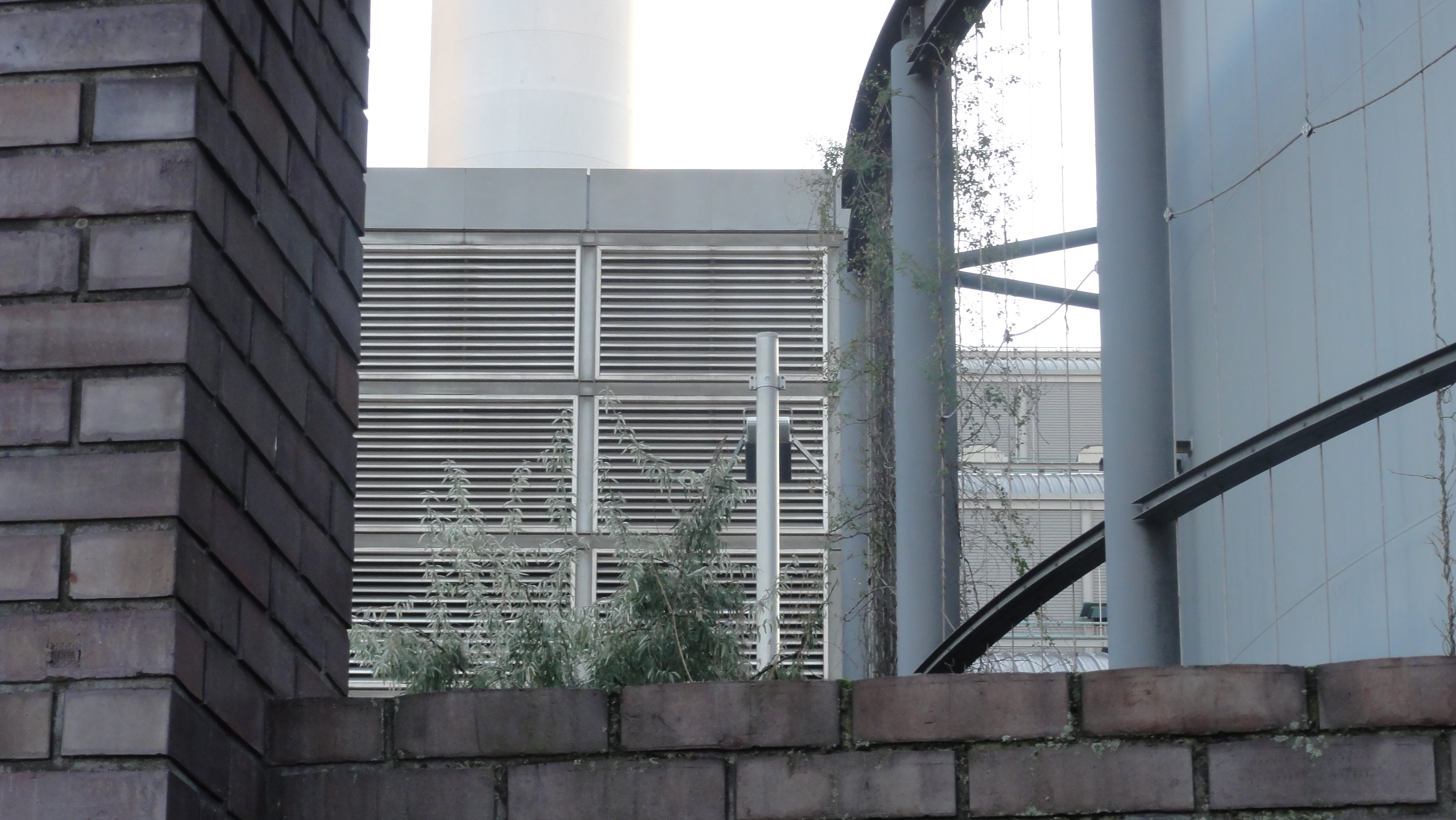
We were guided through the Vattenfall Power Plant to the future public river side walk:
|
|
2014:10:28 16:42:06 52 deg 30' 37.03" N, 13 deg 25' 28.82" E
226.5
© ml
|
|
|
2014:10:28 16:42:25 52 deg 30' 37.03" N, 13 deg 25' 28.82" E
235.5
© ml
|
|
|
2014:10:28 17:06:16 52 deg 30' 41.72" N, 13 deg 25' 17.12" E
167
© ml
|
|
|
2014:10:28 17:06:29 52 deg 30' 41.03" N, 13 deg 25' 17.26" E
291.25
© ml
|
|
|
2014:10:28 16:43:03 52 deg 30' 37.03" N, 13 deg 25' 28.82" E
311.75
© ml
|
|
2014:10:28 16:43:27 52 deg 30' 37.03" N, 13 deg 25' 28.82" E
 69.75
© ml 69.75
© ml
|
|
2014:10:28 16:43:37 52 deg 30' 37.03" N, 13 deg 25' 28.82" E
 134.5
© ml 134.5
© ml
|
|
|
2014:10:28 16:43:48 52 deg 30' 37.03" N, 13 deg 25' 28.82" E
233.25
© ml
|
|
|
2014:10:28 16:43:56 52 deg 30' 37.03" N, 13 deg 25' 28.82" E
248.25
© ml
|

|
|
2014:10:28 16:44:24 52 deg 30' 37.03" N, 13 deg 25' 28.82" E
268.75
© ml
|
|
|
2014:10:28 16:51:51 52 deg 30' 44.48" N, 13 deg 25' 21.90" E
223.66
© ml
|

|
|
2014:10:28 16:53:42 52 deg 30' 44.87" N, 13 deg 25' 18.76" E
241.25
© ml
|
|
|
2014:10:28 16:54:32 52 deg 30' 45.14" N, 13 deg 25' 15.85" E
52
© ml
|
|
|
2014:10:28 16:54:50 52 deg 30' 45.07" N, 13 deg 25' 16.60" E
186
© ml
|
|
|
2014:10:28 16:55:08 52 deg 30' 45.12" N, 13 deg 25' 16.09" E
185.25
© ml
|
|
|
2014:10:28 16:56:47 52 deg 30' 45.45" N, 13 deg 25' 17.47" E
12.5
© ml
|

|
|
2014:10:28 16:56:55 52 deg 30' 45.34" N, 13 deg 25' 17.47" E
231.5
© ml
|

|
|
2014:10:28 16:58:51 52 deg 30' 46.41" N, 13 deg 25' 15.81" E
31
© ml
|

|
|
2014:10:28 17:02:59 52 deg 30' 44.93" N, 13 deg 25' 18.29" E
162.25
© ml
|
|
|
2014:10:28 17:04:43 52 deg 30' 44.70" N, 13 deg 25' 20.00" E
250.25
© ml
|
The moon starts shining:

|
|
2014:10:28 17:04:55 52 deg 30' 43.69" N, 13 deg 25' 17.97" E
168.5
© ml
|
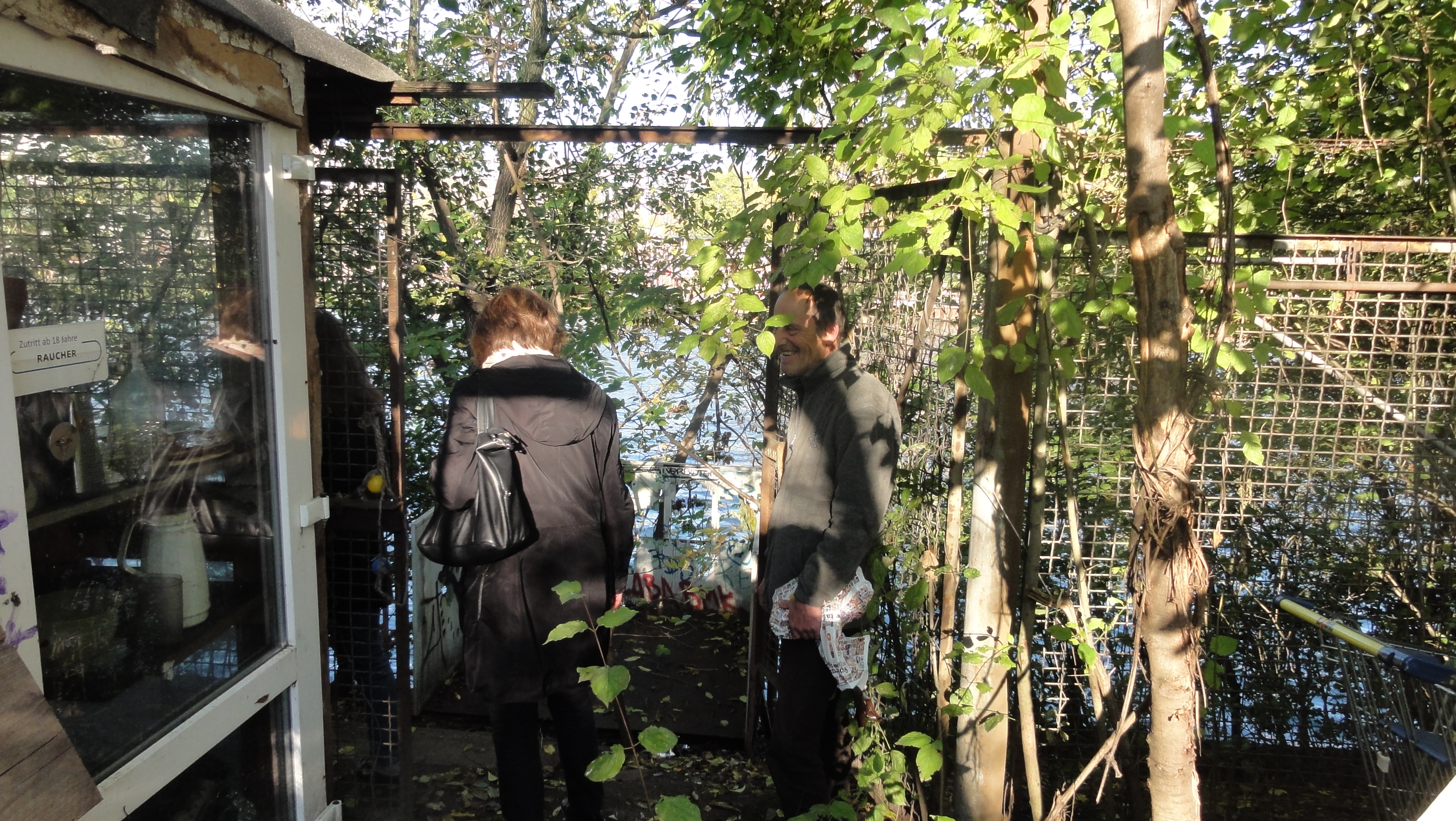
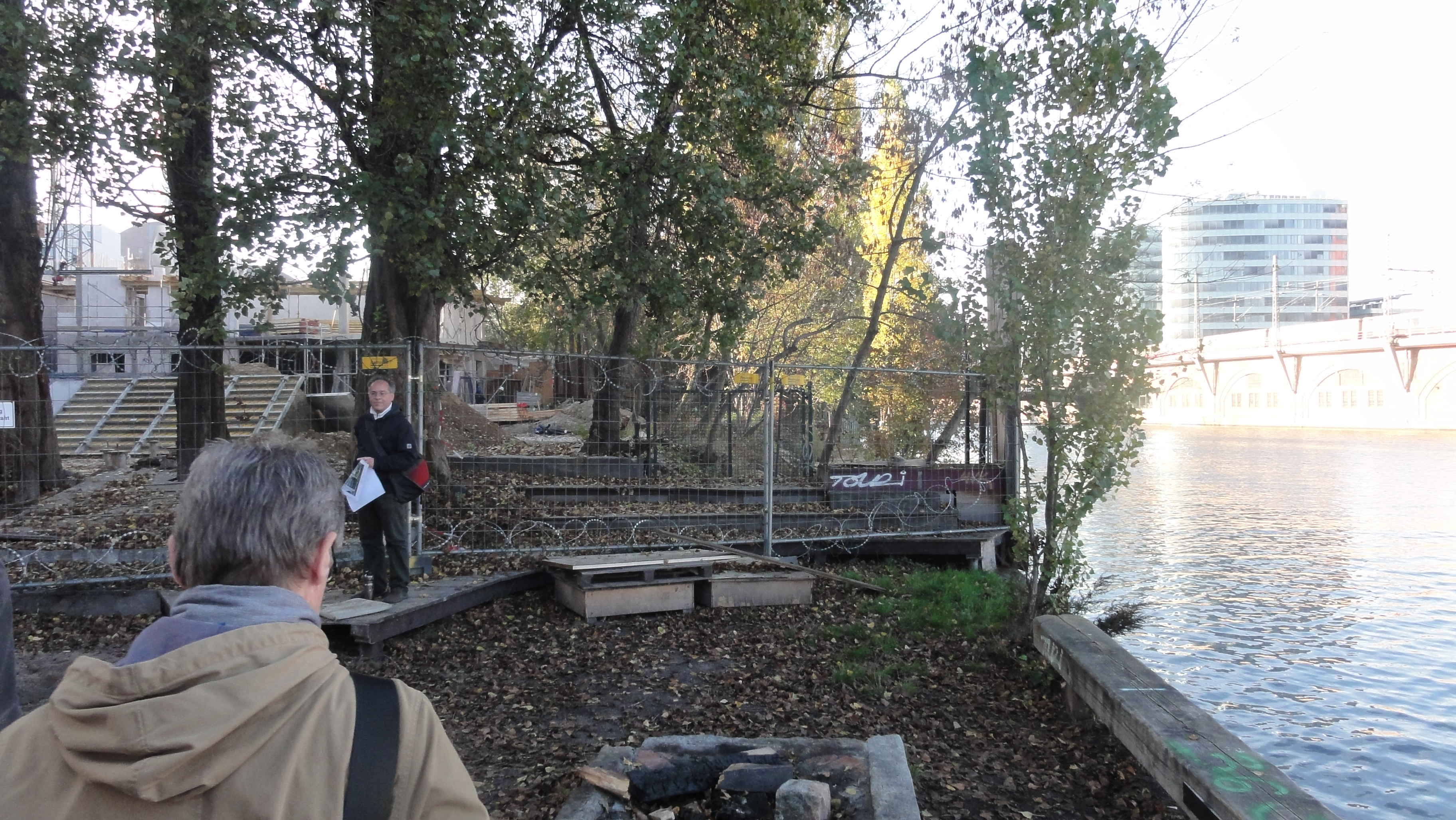
Here the way ends, still private property (but not for long !-)
|
|
2014:10:28 16:58:06 52 deg 30' 46.18" N, 13 deg 25' 16.80" E
265.5
© ml
|
|
|
2014:10:28 17:17:46 52 deg 30' 41.03" N, 13 deg 25' 17.26" E
31.75
© ml
|
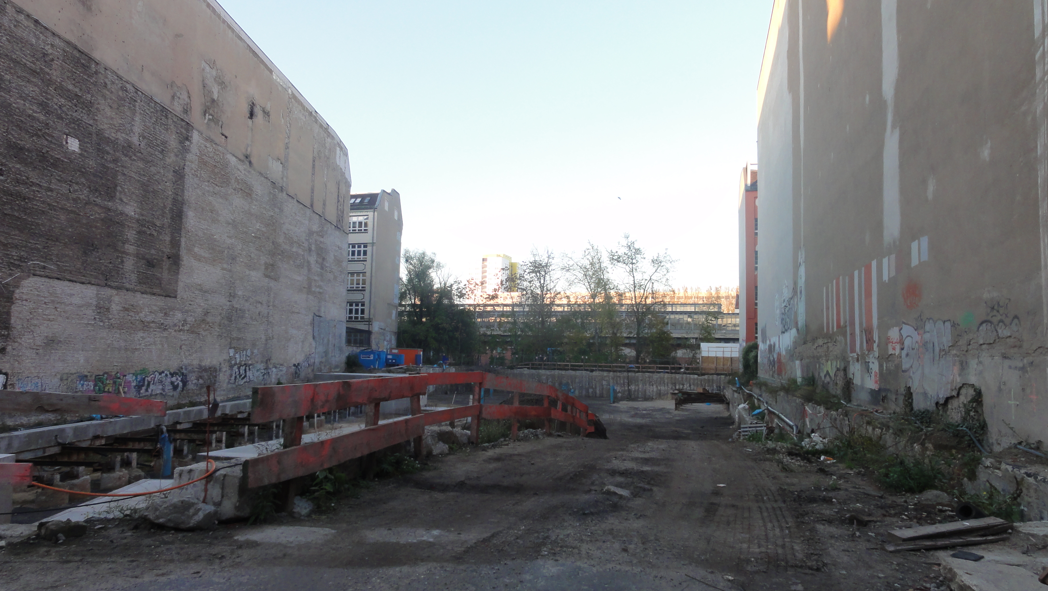
To pass around we had to make a detour of nearly one kilometer,
and joined the river again by the passage leading (among others) to
https:
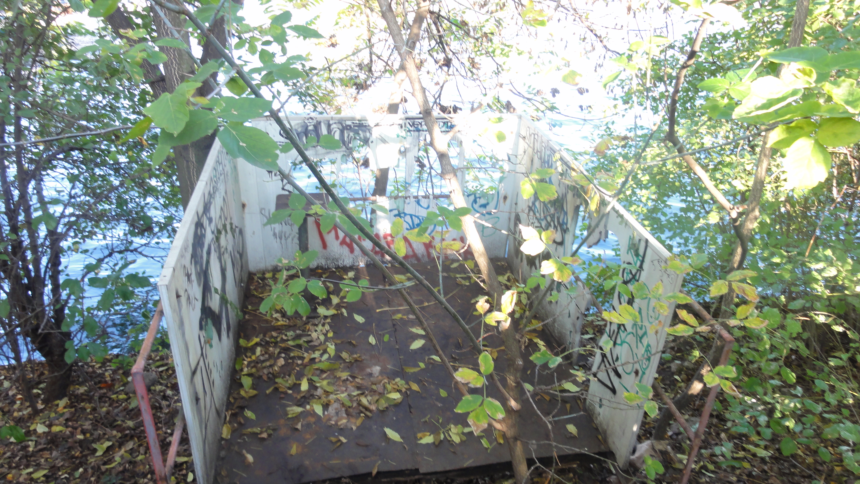
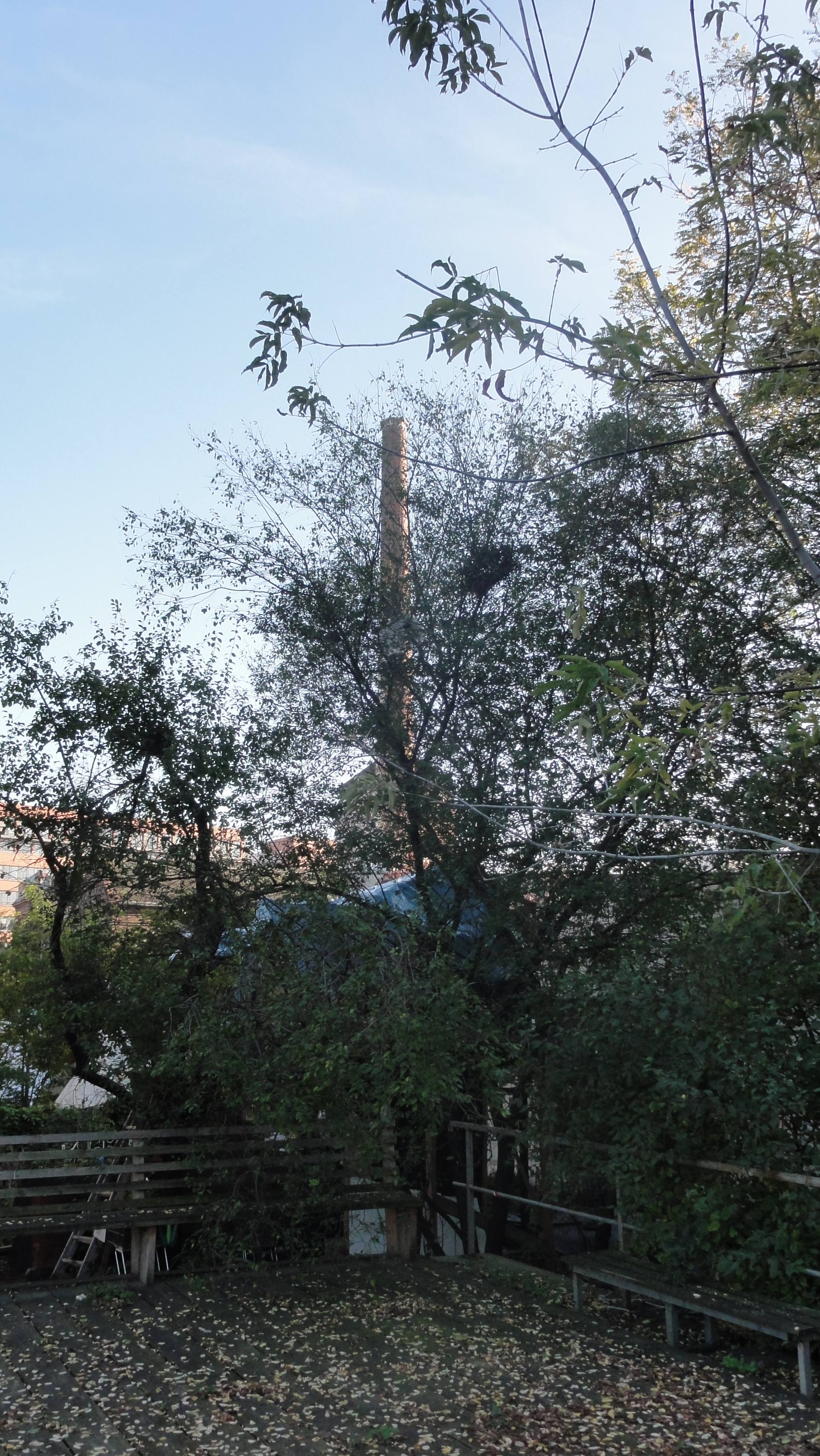
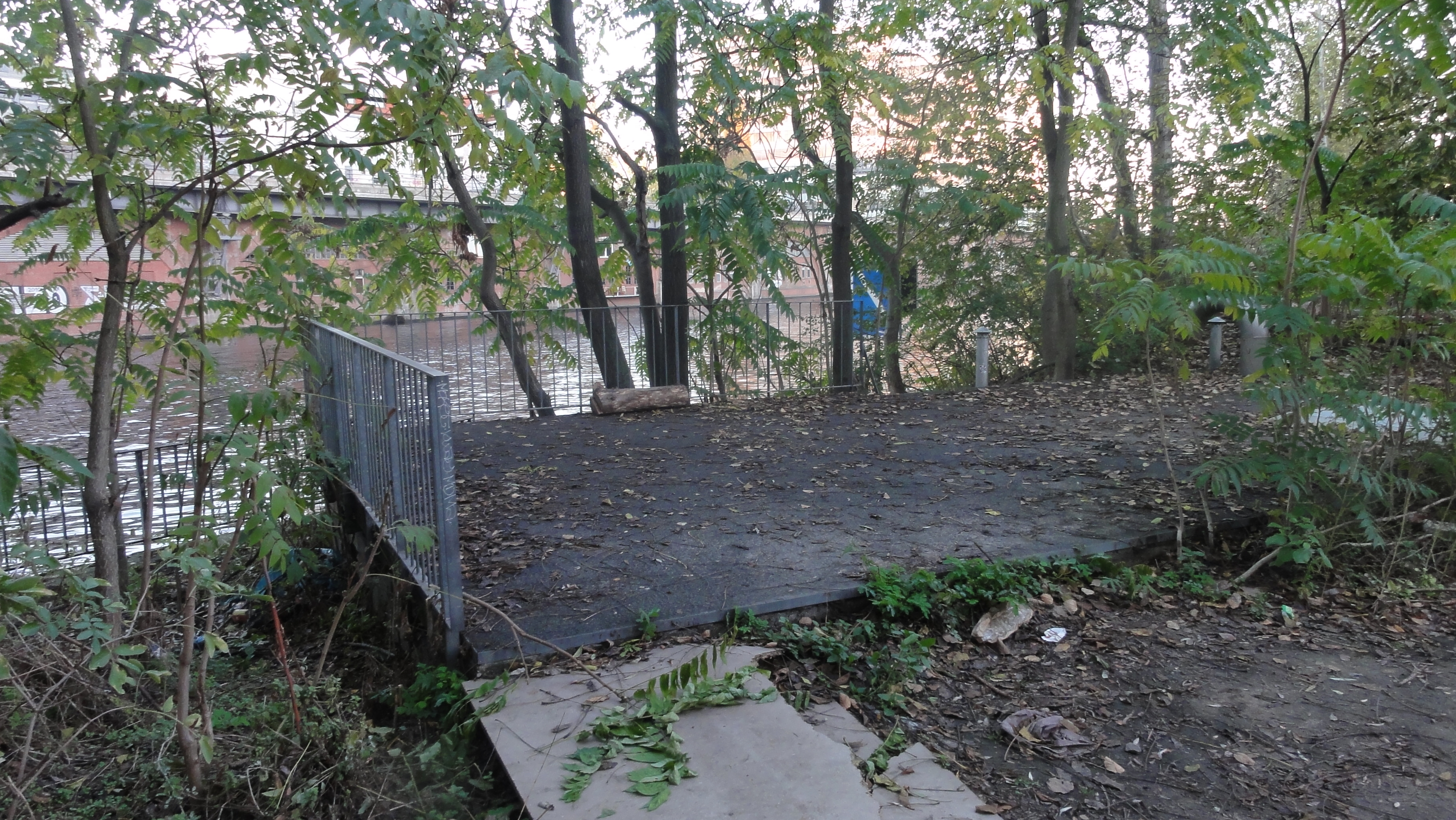
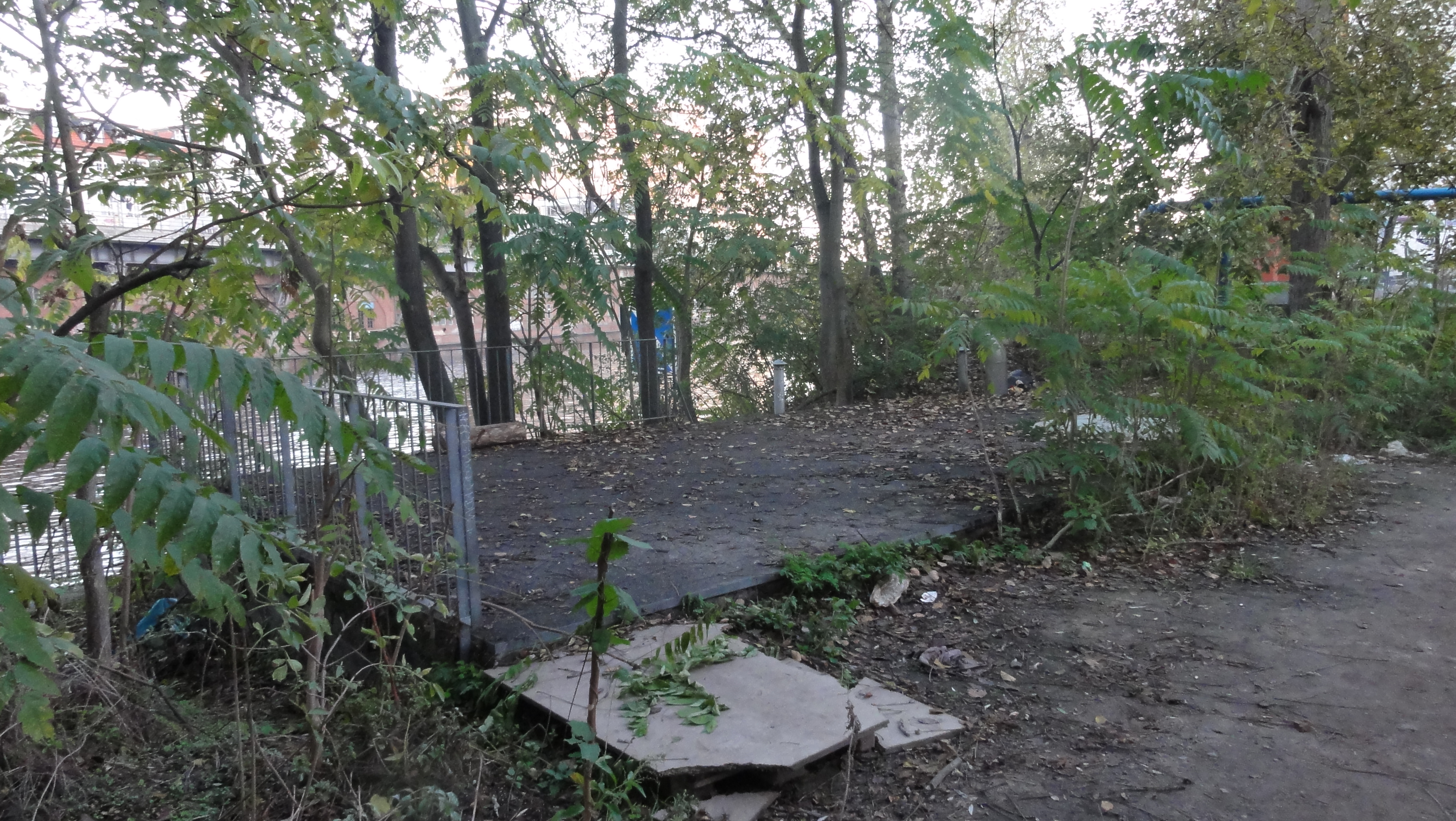
There a very romantic wilderness starts (I hope but doubt that
it will survive the reconstruction works !?!?)
|
|
2014:10:28 17:27:31 52 deg 30' 48.35" N, 13 deg 25' 11.35" E
312
© ml
|
|
|
2014:10:28 17:27:35 52 deg 30' 47.77" N, 13 deg 25' 11.26" E
259
© ml
|
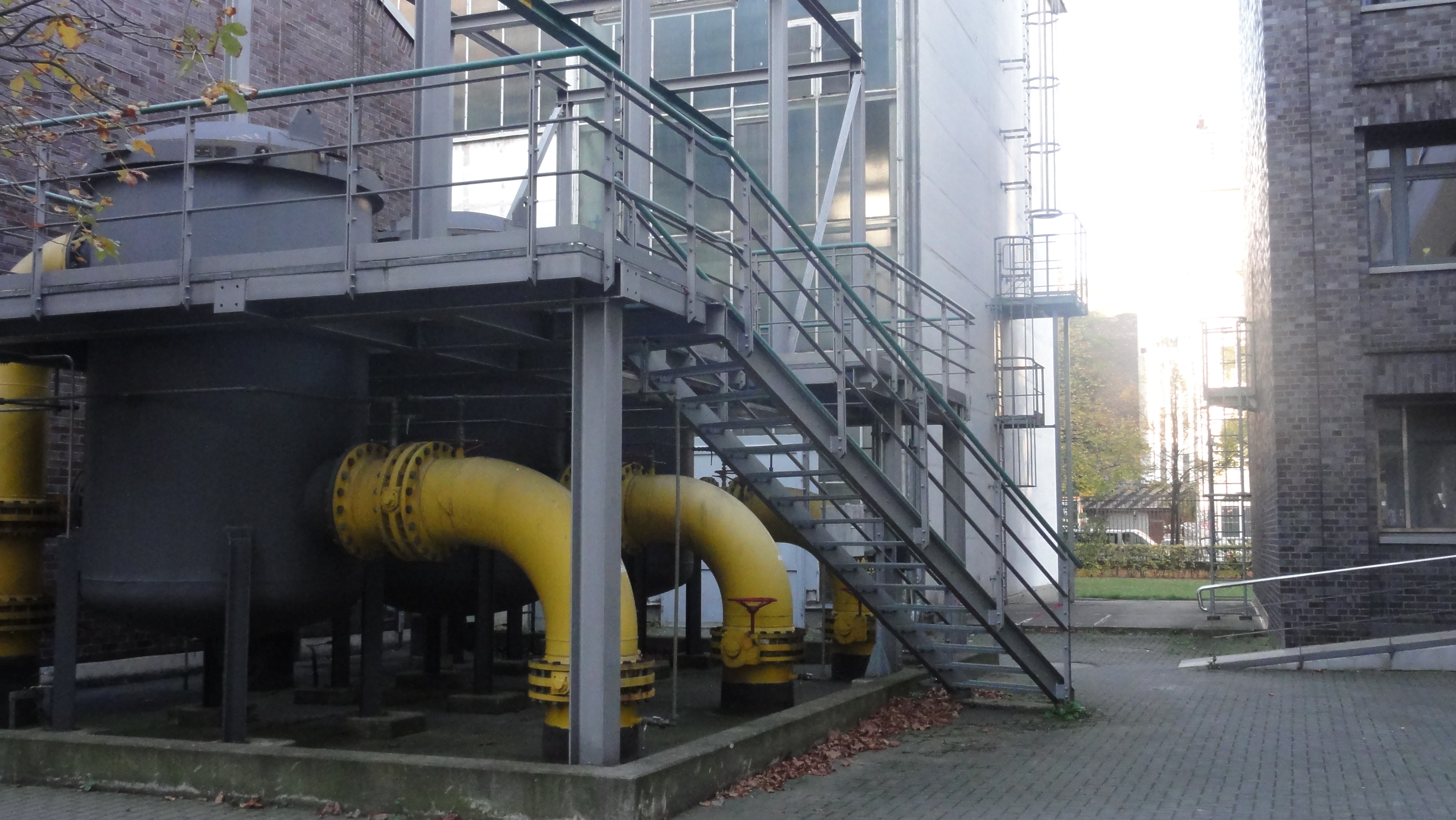
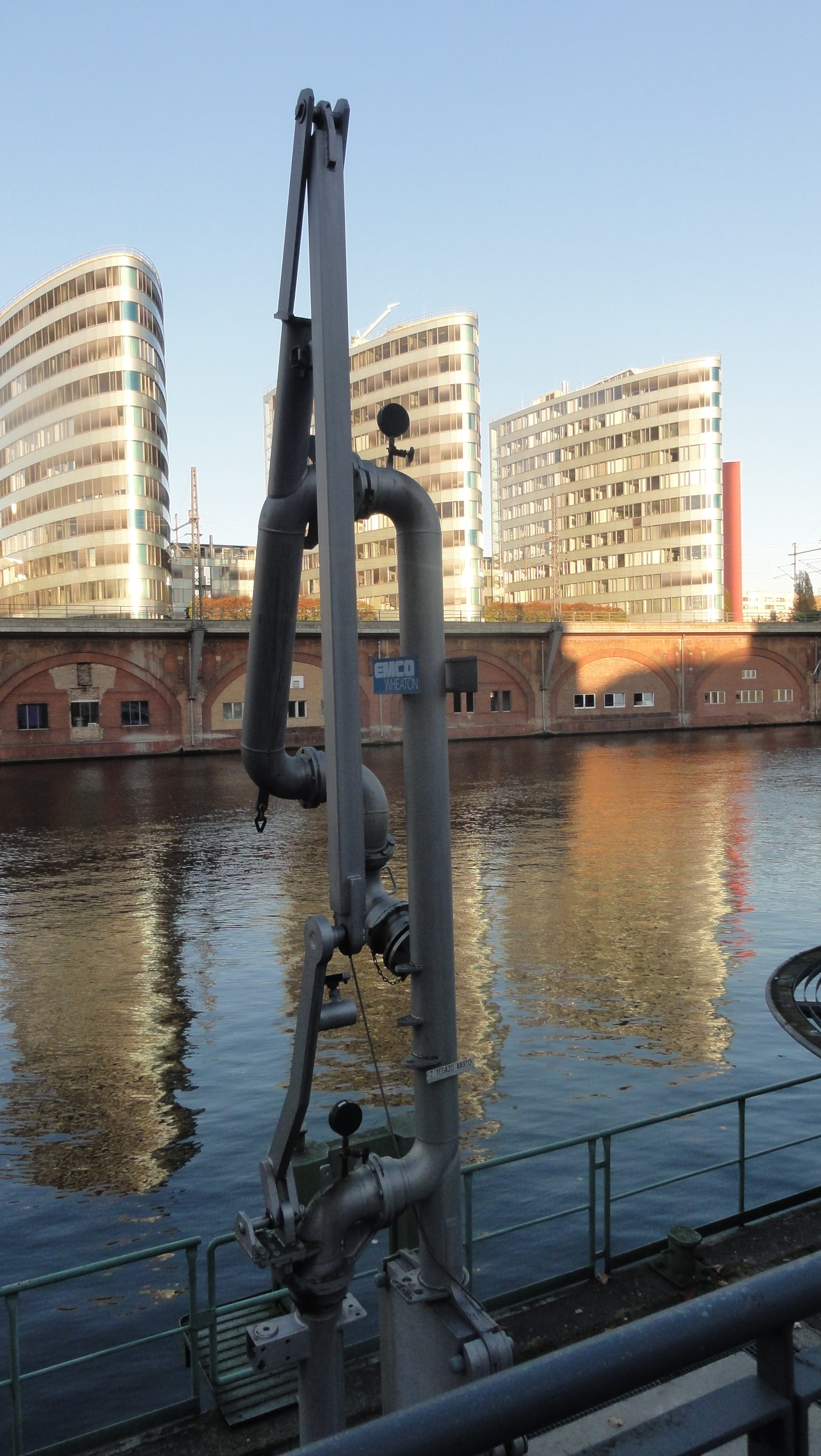
This is the water outlet of the power plant, and they want to reach it by car, in future. This creates a kind of conflict:
|
|
2014:10:28 17:28:15 52 deg 30' 47.85" N, 13 deg 25' 10.76" E
46.75
© ml
|

|
|
2014:10:28 17:29:16 52 deg 30' 48.33" N, 13 deg 25' 10.17" E
152.5
© ml
|
|
|
2014:10:28 17:30:24 52 deg 30' 48.22" N, 13 deg 25' 9.62" E
85.75
© ml
|
Nearly reached Jannowitzbrücke:
|
|
2014:10:28 17:39:28 52 deg 30' 50.28" N, 13 deg 25' 11.81" E
276.66
© ml
|
|
|
2014:10:28 17:29:54 52 deg 30' 47.96" N, 13 deg 25' 9.74" E
265.75
© ml
|
|
|
2014:10:28 17:40:29 52 deg 30' 48.35" N, 13 deg 25' 9.33" E
104
© ml
|
|
|
2014:10:28 17:50:07 52 deg 30' 50.96" N, 13 deg 25' 7.64" E
293.5
© ml
|
back to photos' home / zurück zur Photo-Übersicht
made
2014-11-12_12h29
on
heine


markuslepper.eu
produced with
eu.bandm.metatools.d2d
and
XSLT
FYI view
page source text