 217.25
°
©
ml
217.25
°
©
ml
Autumn Tours / II
1
Tour From Hauptbahnhof to Tegel Airport,
from Humboldthafen to Westhafen
back to photos' home / zurück zur Photo-Übersicht
back to tours' home / zurück zur ersten Tour
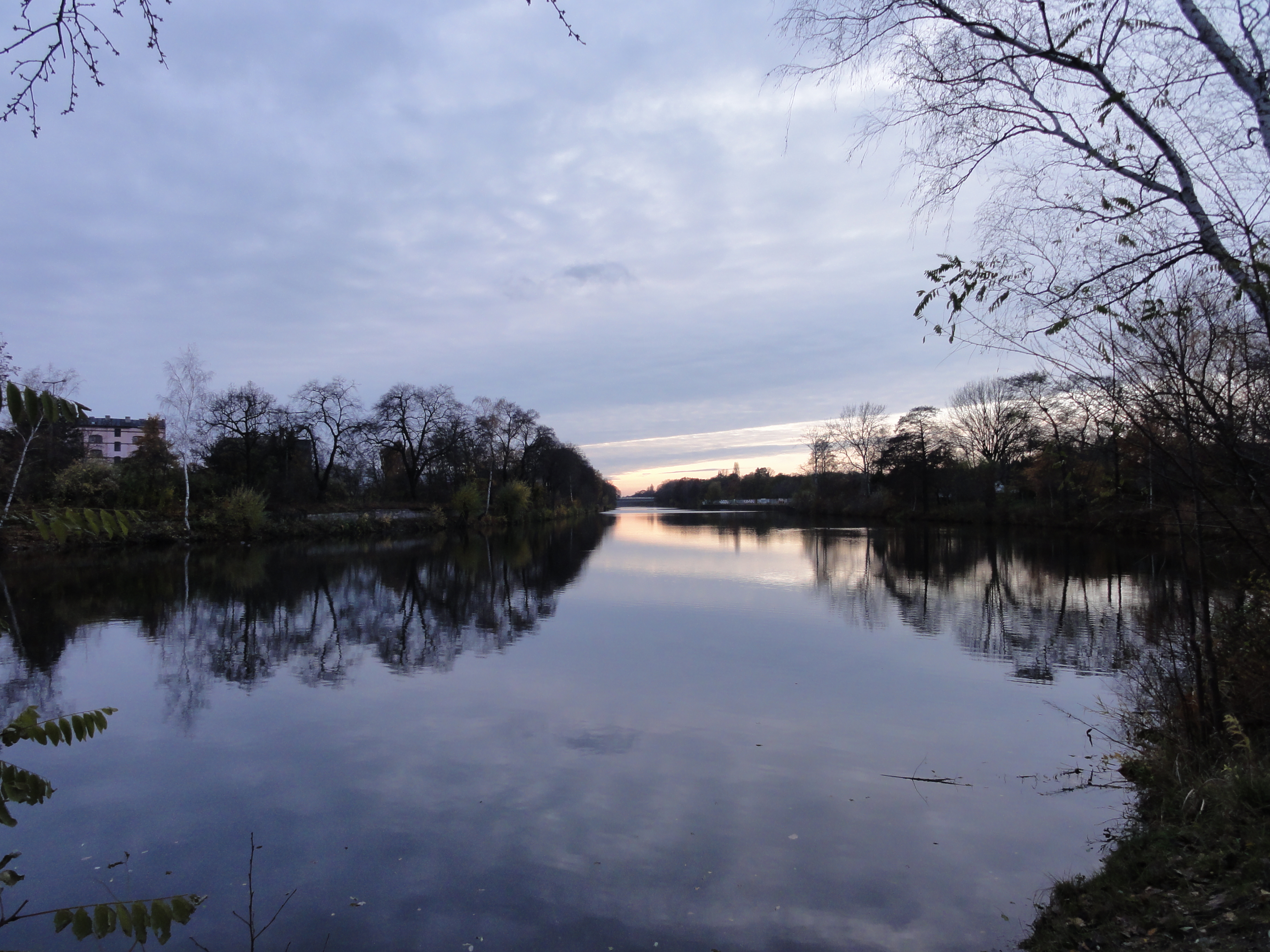
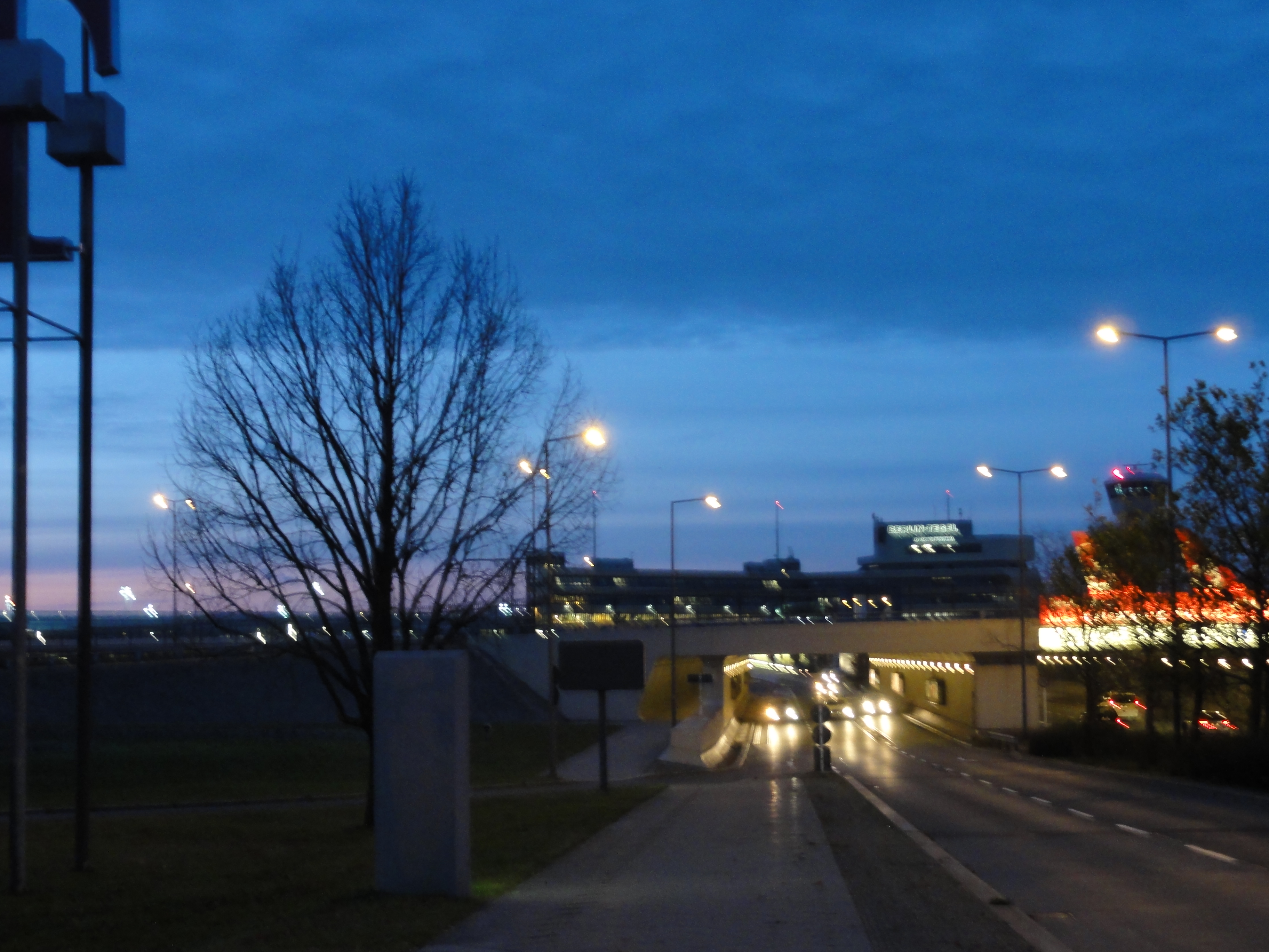
When you have to reach Tegel airport, starting at Hauptbahnhof, you probably take a TAXI or the TXL bus.
A realistic alternative would be a fast boat ! Simply follow the "Spandauer Schiffahrtksanal"; and then the "Hohenzollernkanal".
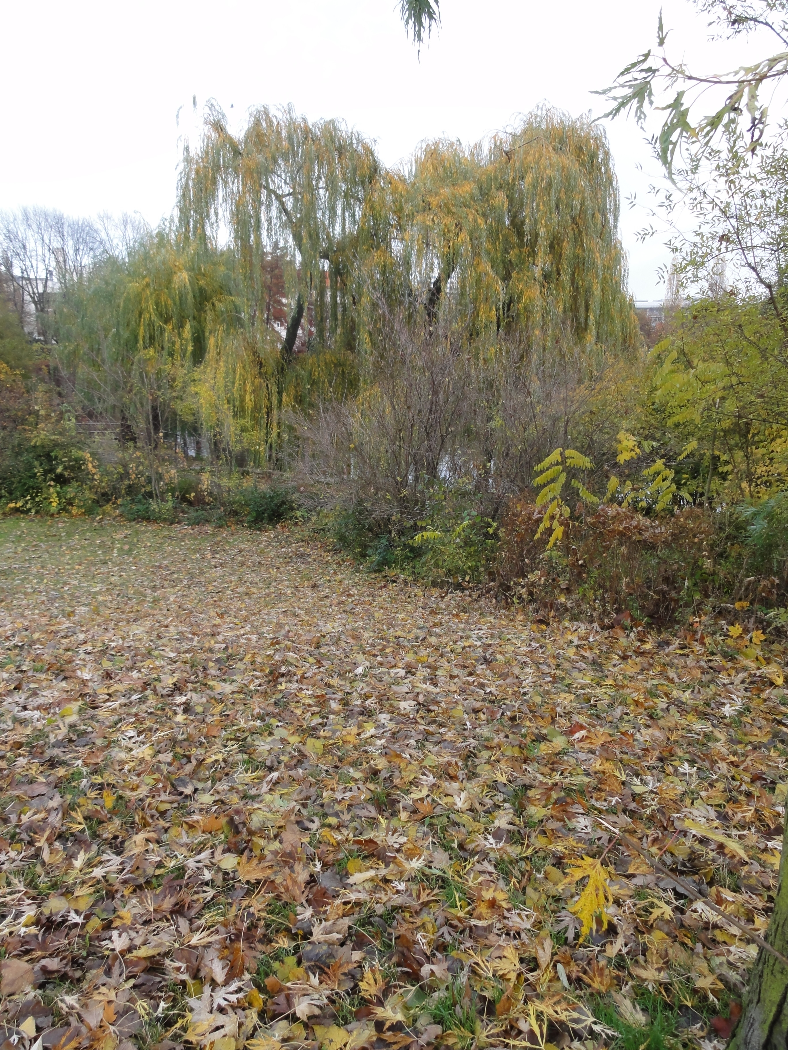
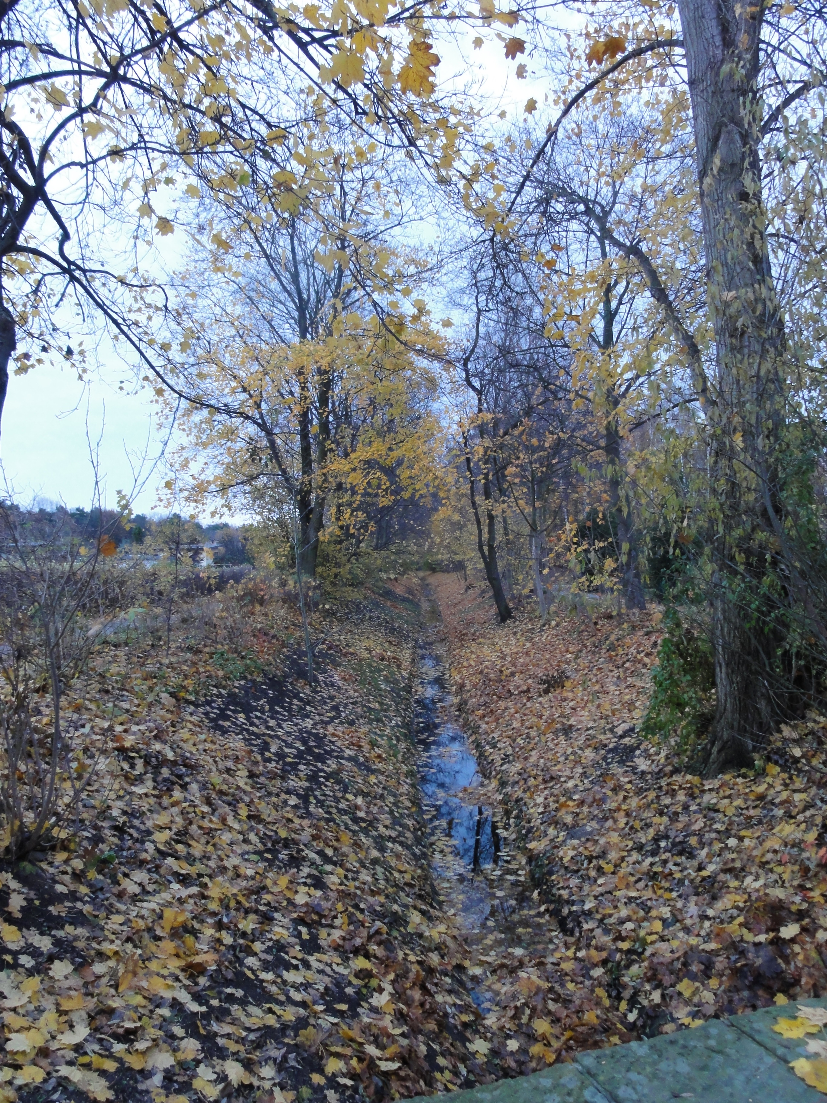
This is also very nice by foot, as the following photos will show you:
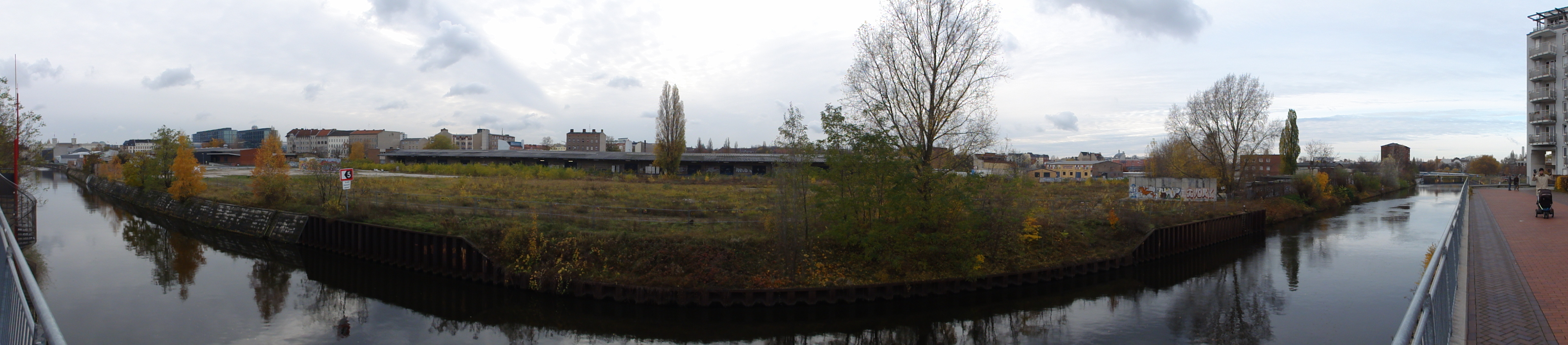
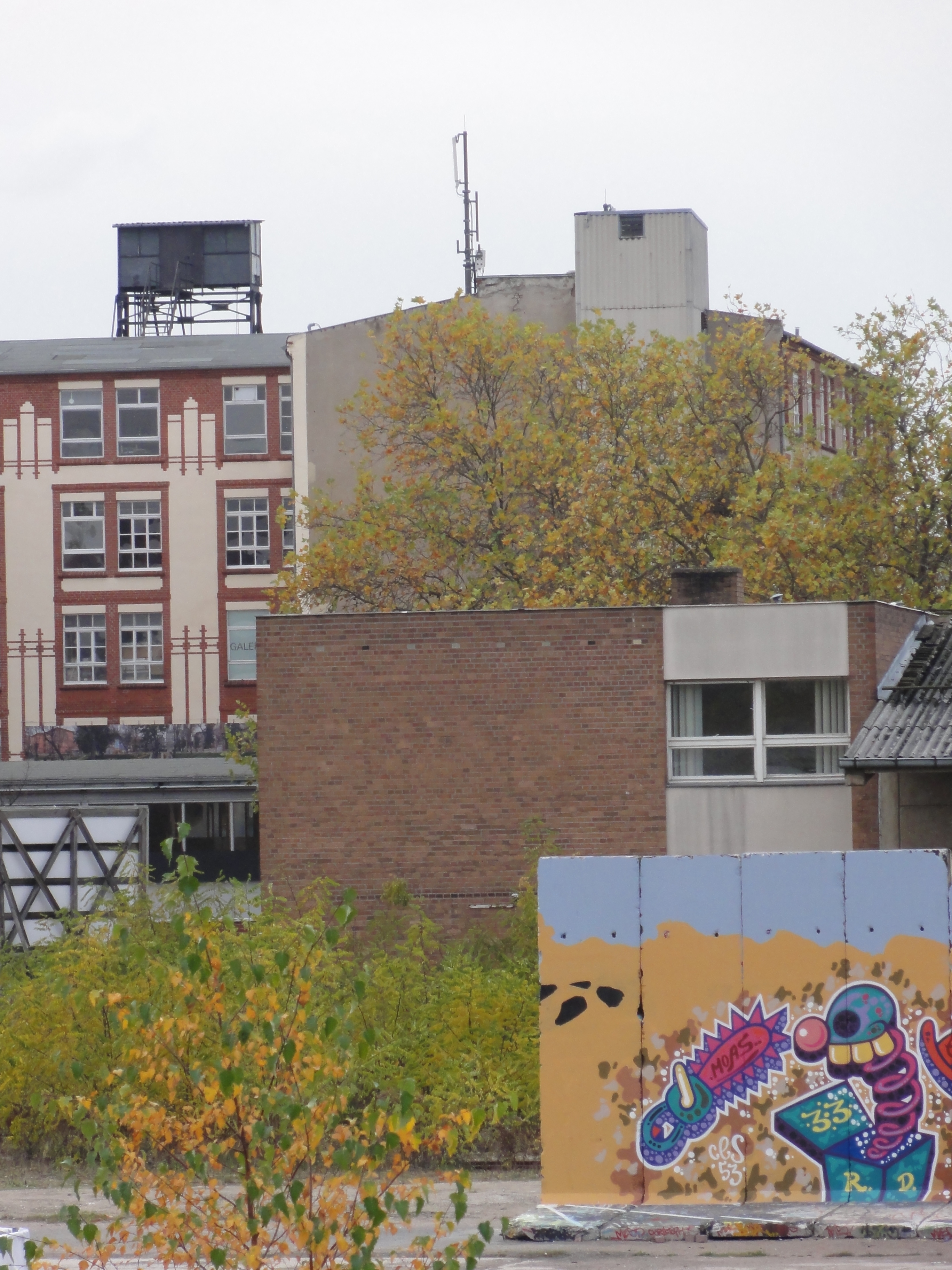
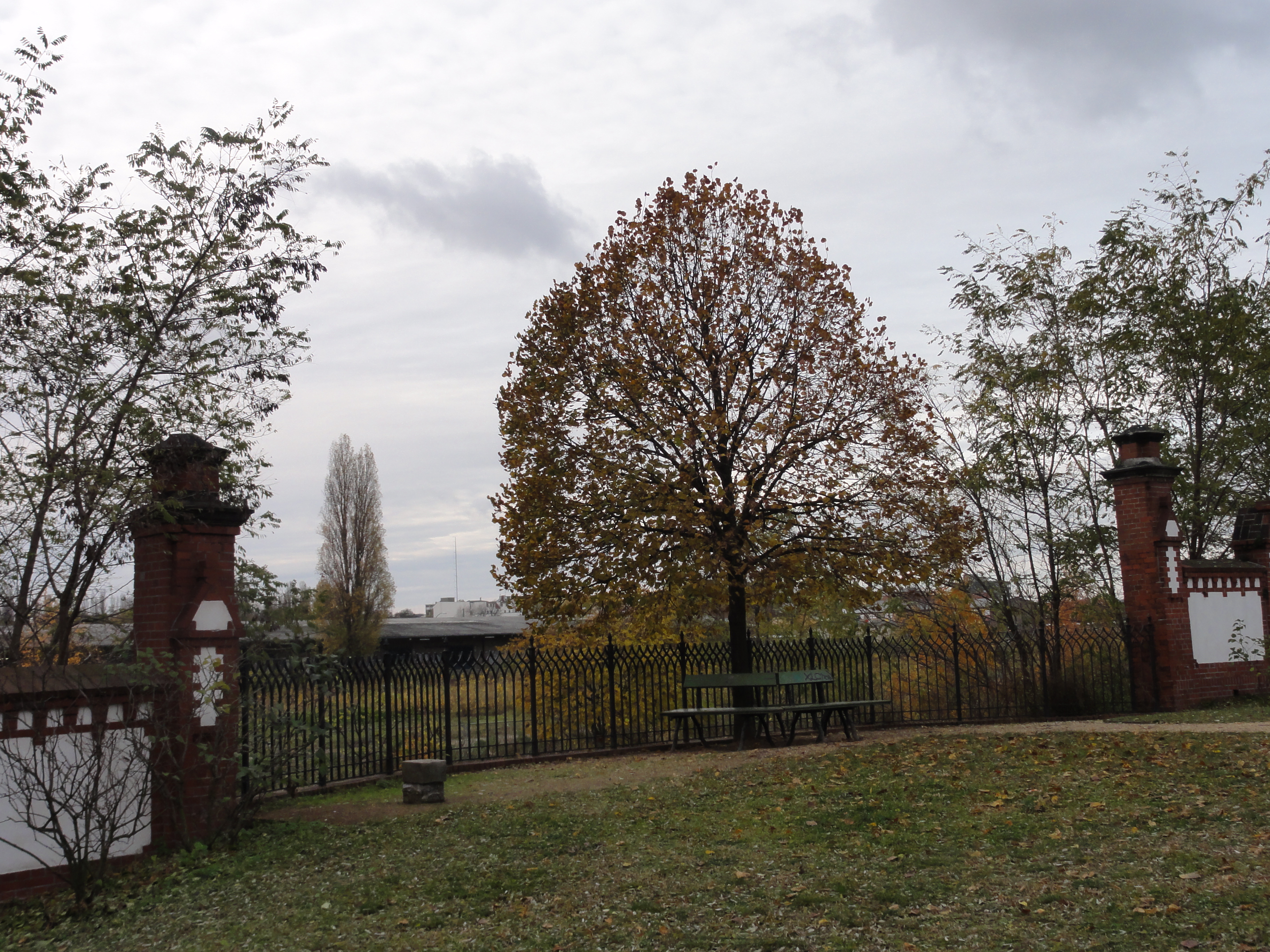
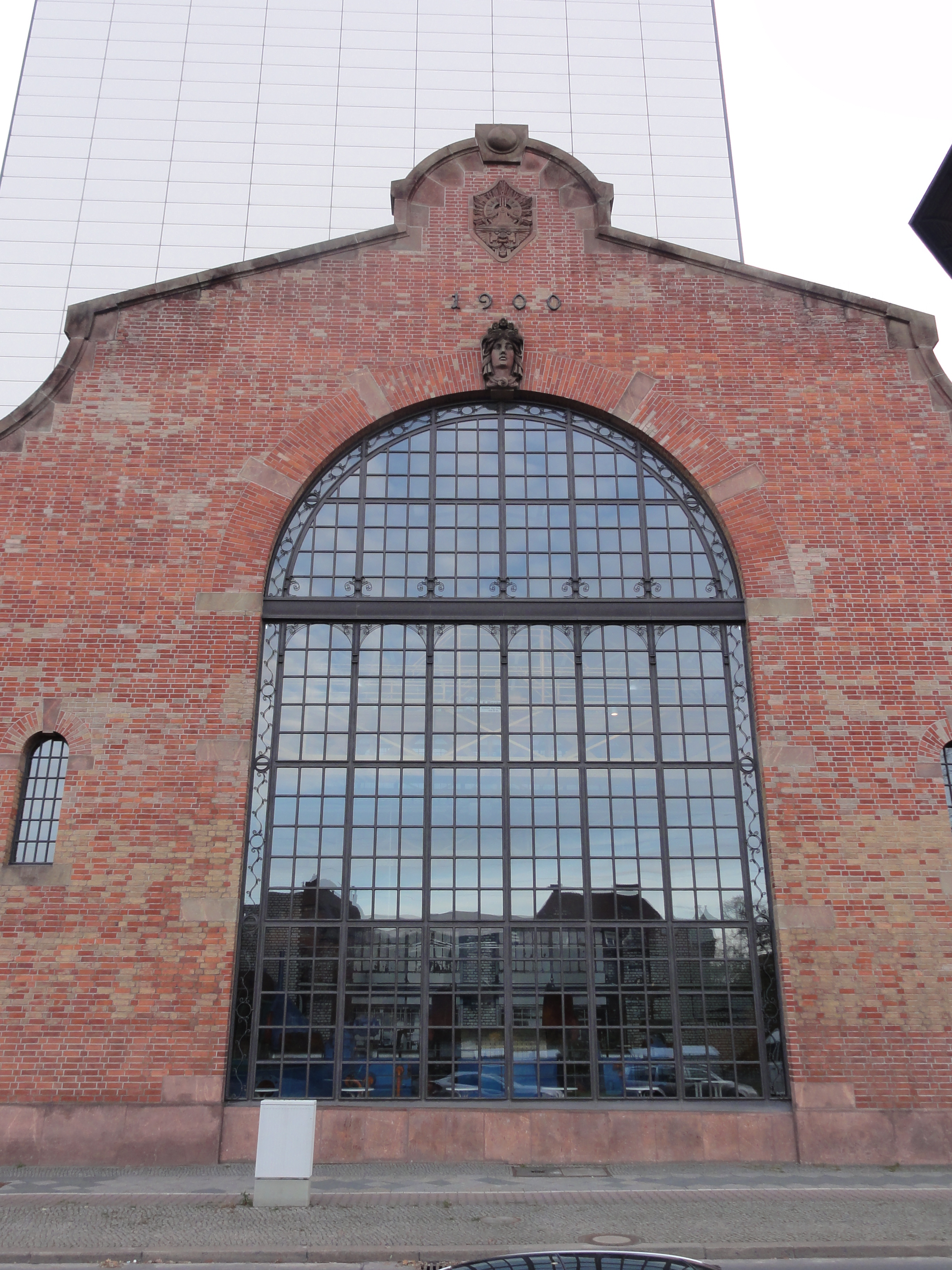
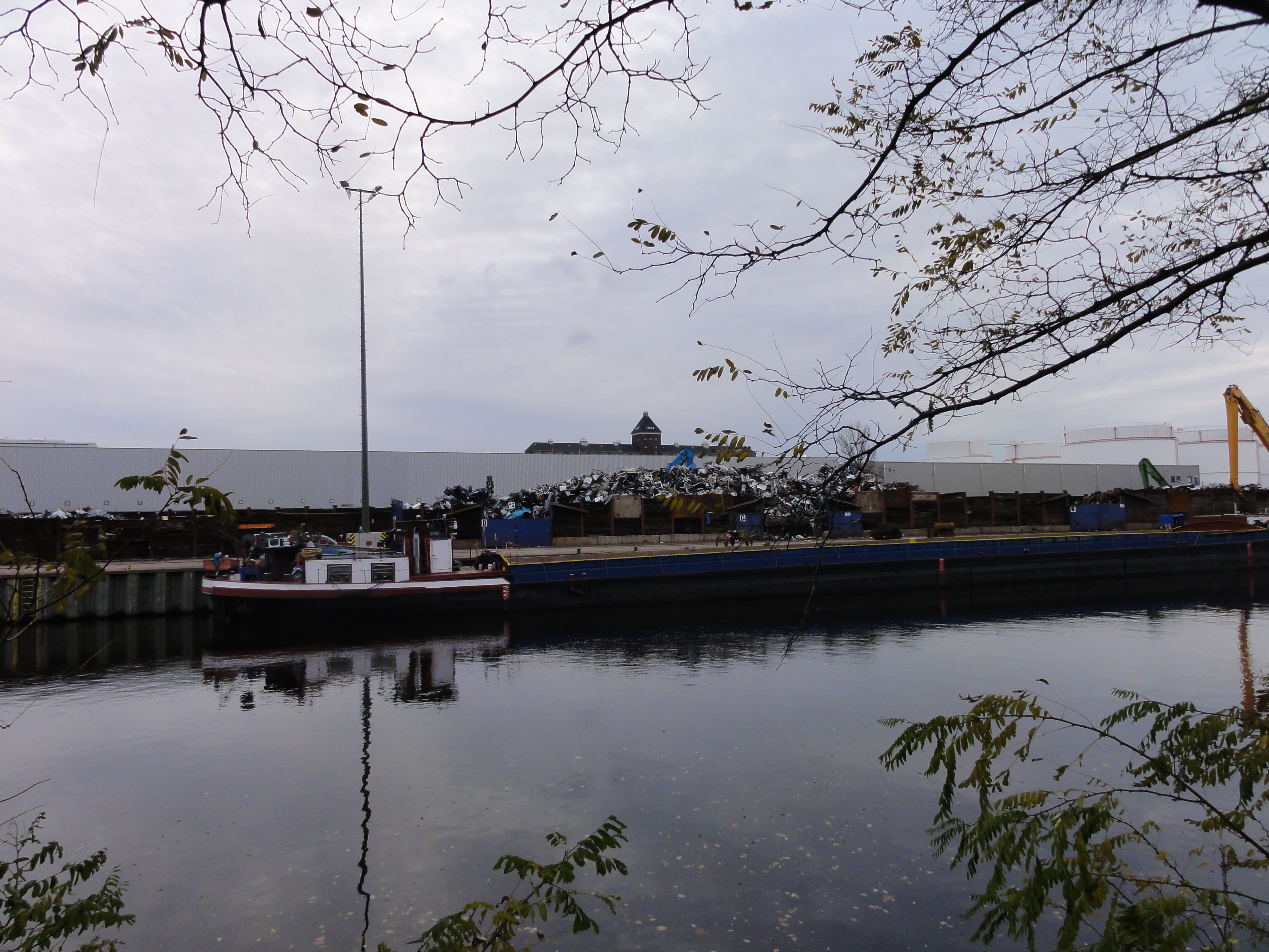
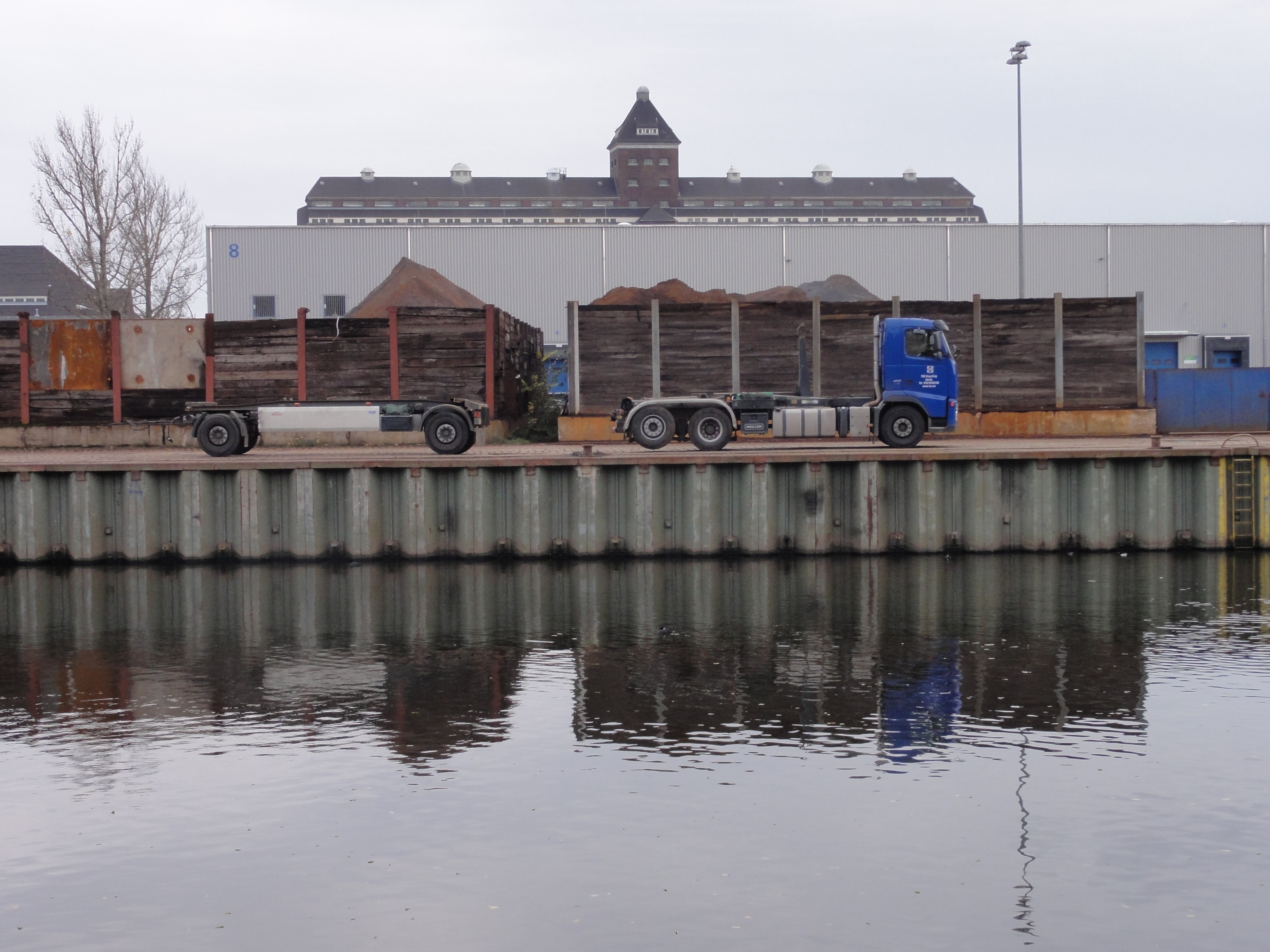
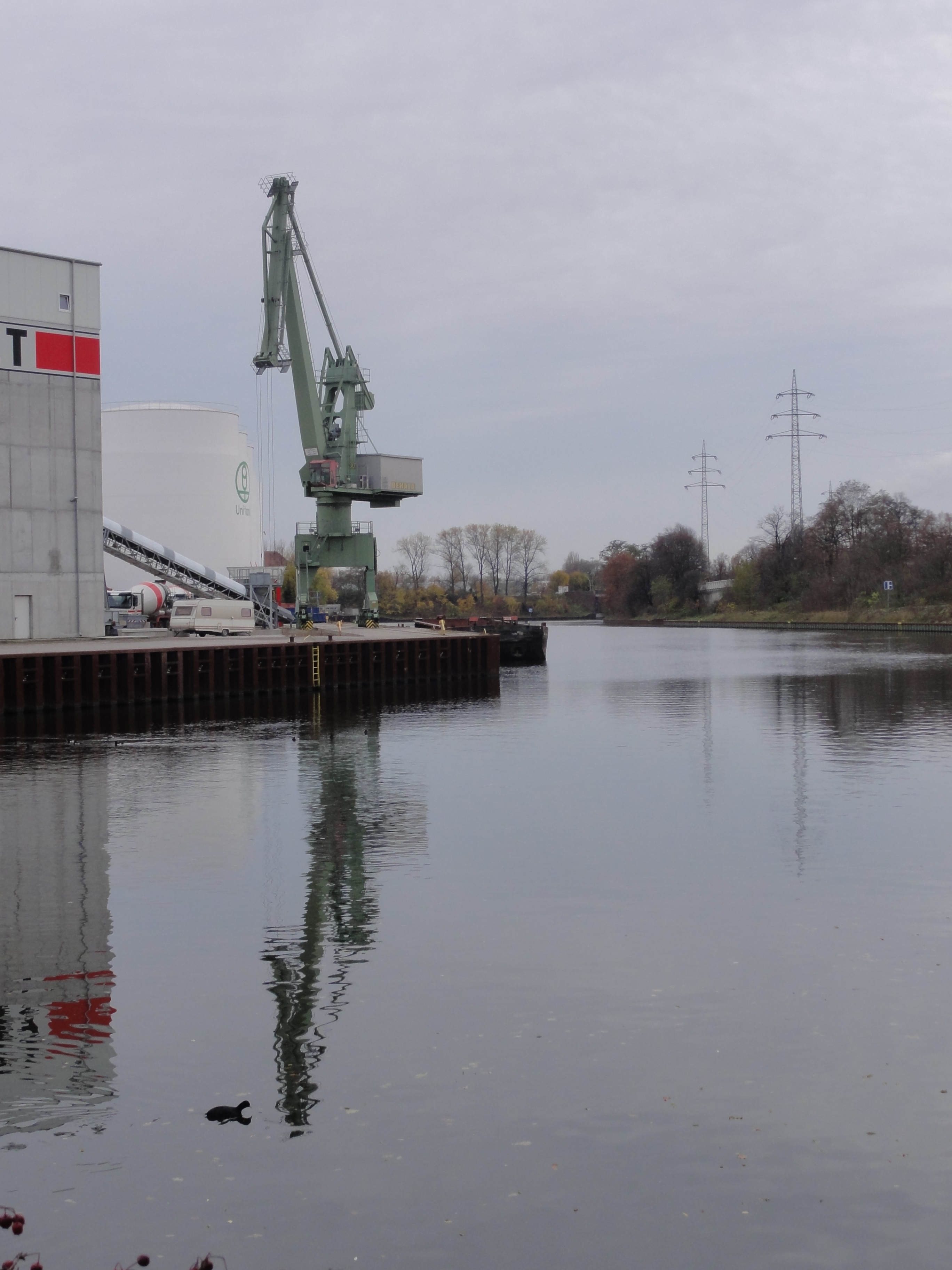
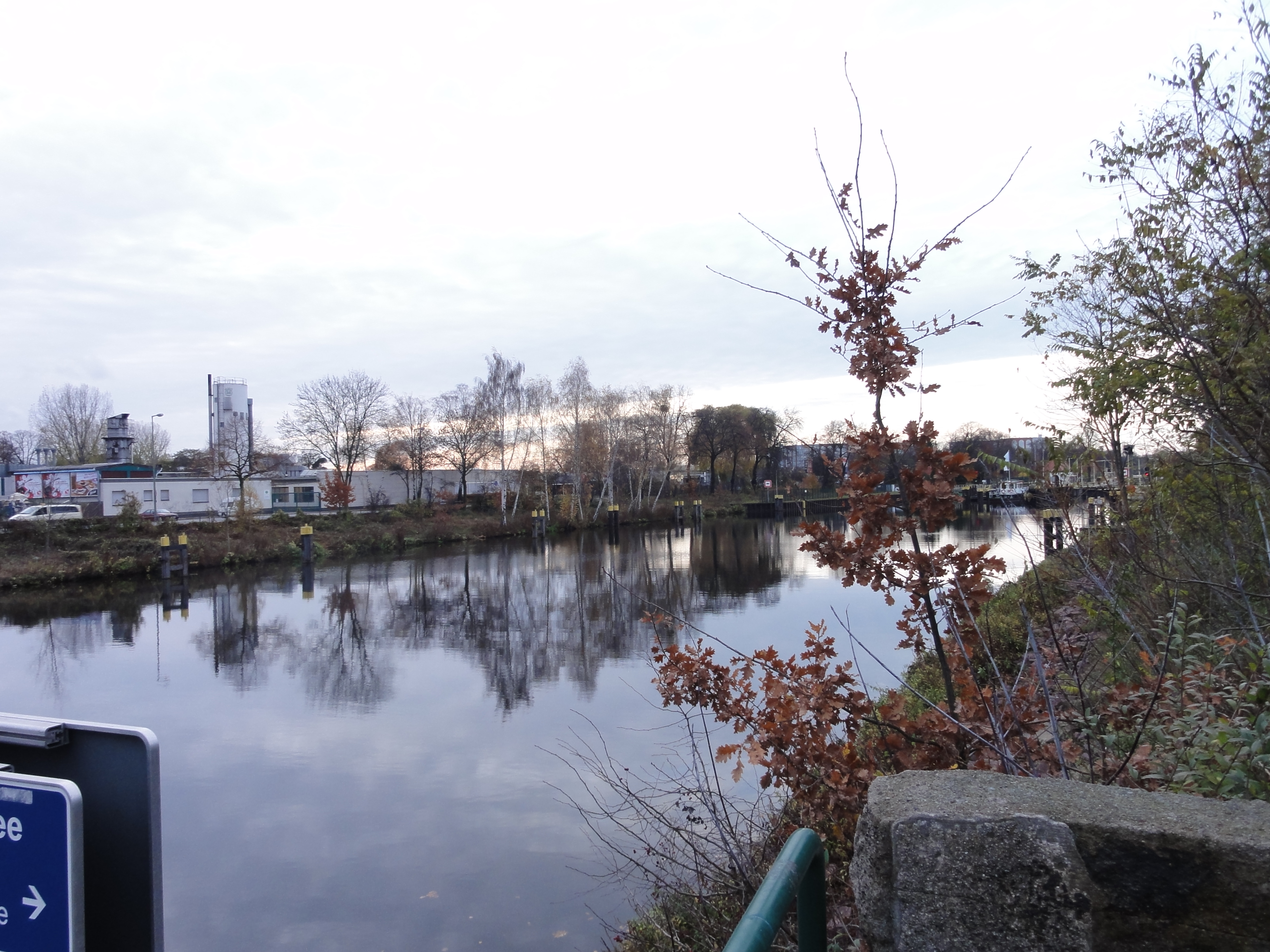
We start at the "Sandkrug-Brücke", which carries the Invalidenstr. and connects the Hamburger Bahnhof (as you know, a famous museum of modern art) with the ministry of business and technology. We start walking to the north, and looking forward, on the right side of the bridge the way goes down to follow the canal.
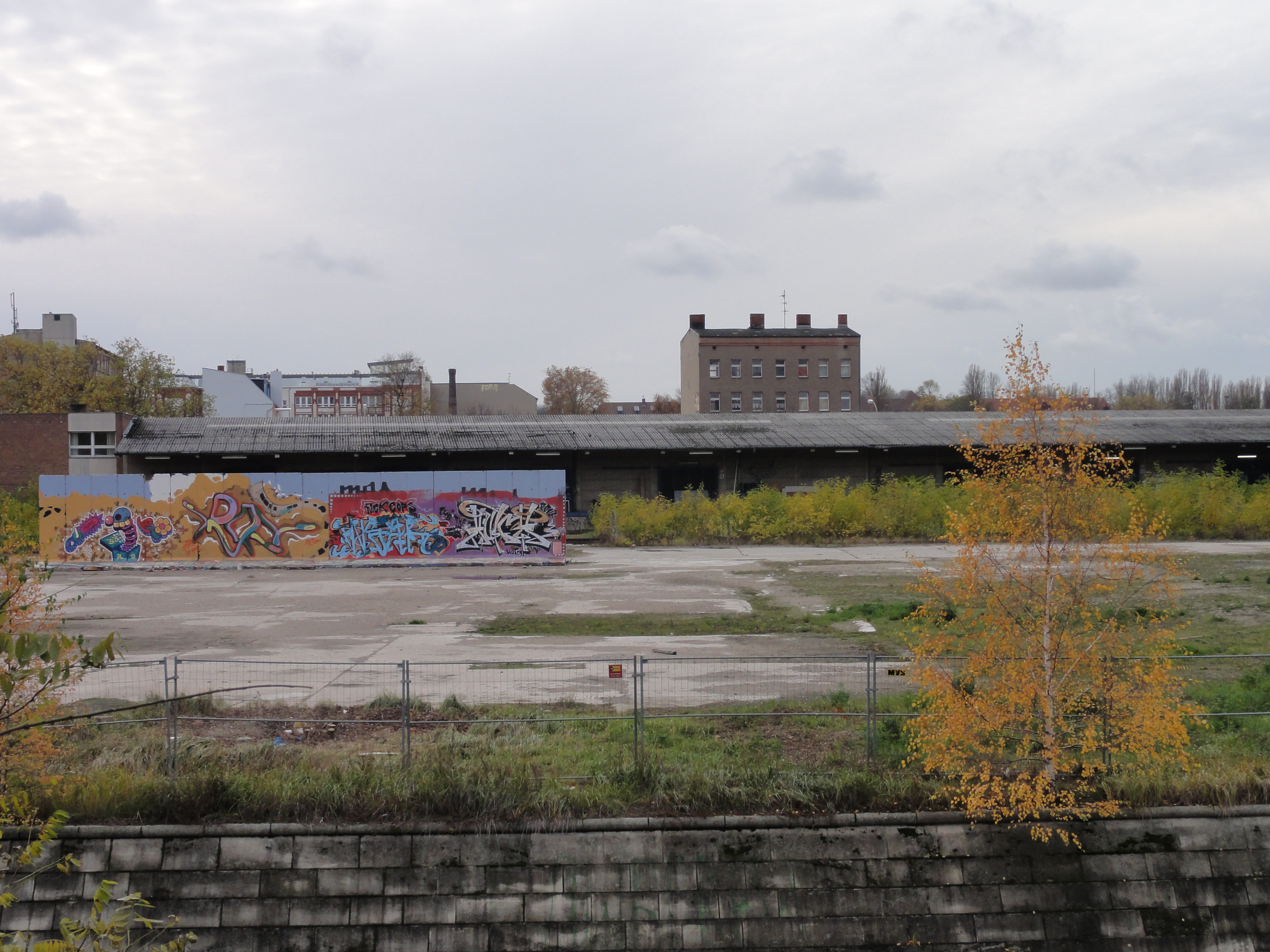
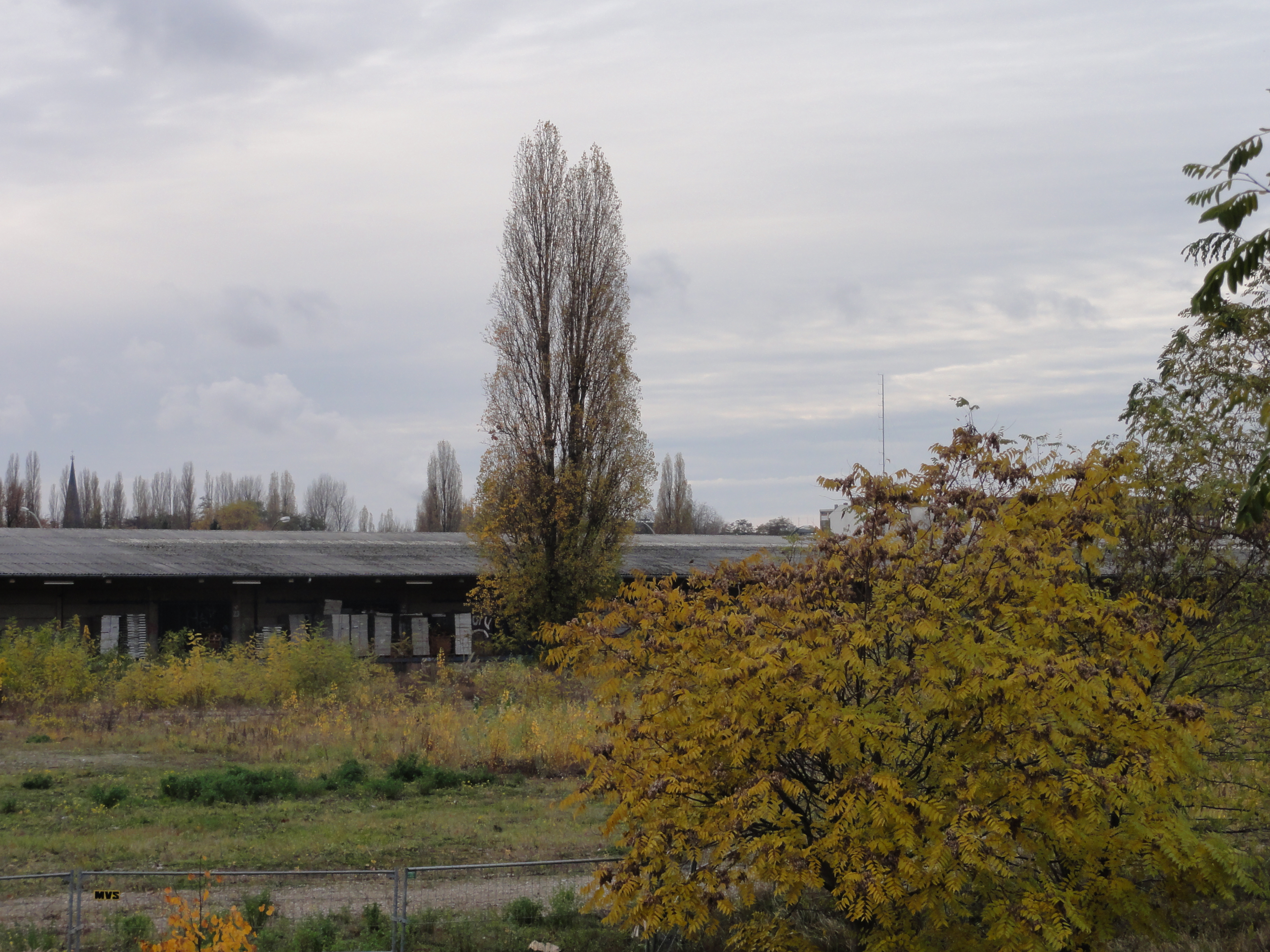
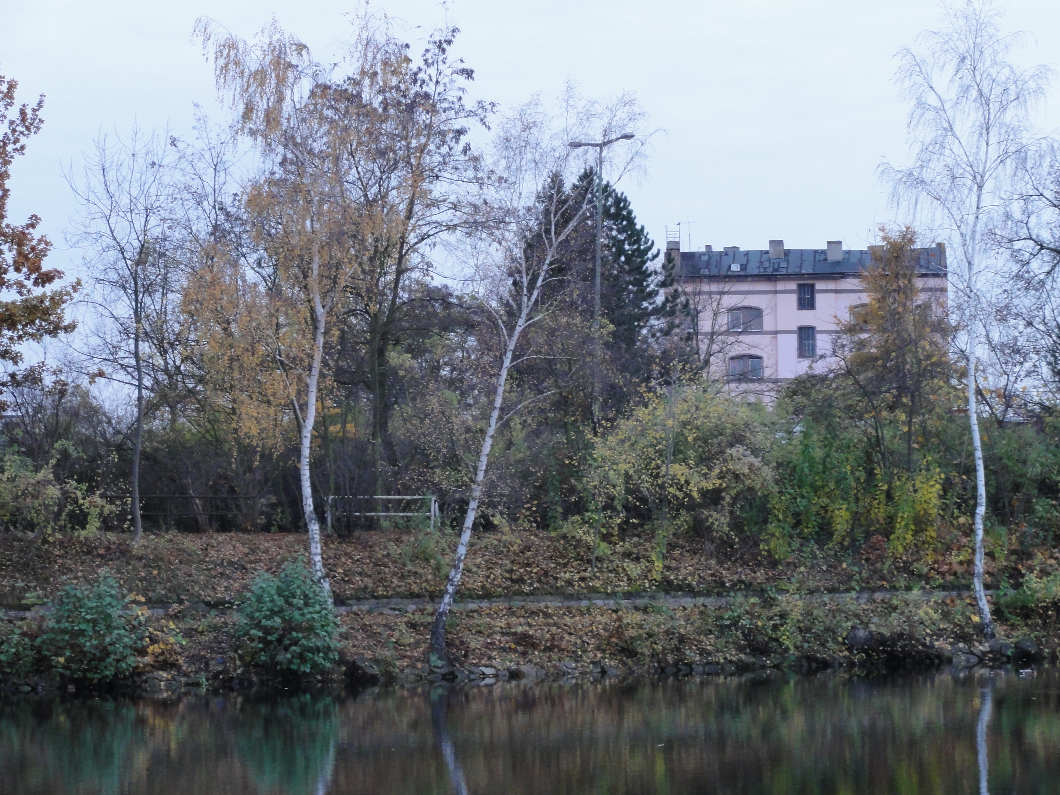
On the other side we see the derelicts of one of the twenty incredibly huge cargo railway areas which carried one half of the goods circulation, a necessary pre-condition for the prosperity of Berlin's widely diversive industries.
|
|
|
2010:11:07 15:33:42
---
52 deg 31' 58.64" N, 13 deg 22' 9.68" E
217.25
°
©
ml
|
|
2010:11:07 15:35:55
---
52 deg 32' 1.68" N, 13 deg 22' 8.17" E
 254.5
°
©
ml
254.5
°
©
ml
|

|
|
2010:11:07 15:28:10
---
52 deg 31' 53.89" N, 13 deg 22' 14.98" E
215
°
©
ml
|
|
2010:11:07 15:29:30
---
52 deg 31' 55.60" N, 13 deg 22' 12.64" E
 277
°
©
ml
277
°
©
ml
|
|
|
2010:11:07 15:30:15
---
52 deg 31' 55.41" N, 13 deg 22' 12.14" E
248
°
©
ml
|
|
2010:11:07 15:30:23
---
52 deg 31' 55.41" N, 13 deg 22' 12.14" E
 242.25
°
©
ml
242.25
°
©
ml
|
|
|
2010:11:07 15:30:47
---
52 deg 31' 55.86" N, 13 deg 22' 12.38" E
274.25
°
©
ml
|

|
|
2010:11:07 15:30:55
---
52 deg 31' 55.82" N, 13 deg 22' 12.39" E
274.25
°
©
ml
|

|
|
2010:11:07 15:32:01
---
52 deg 31' 57.22" N, 13 deg 22' 11.96" E
276.5
°
©
ml
|
|
|
2010:11:07 15:33:18
---
52 deg 31' 58.83" N, 13 deg 22' 9.54" E
267.25
°
©
ml
|
|
|
2010:11:07 15:34:13
---
52 deg 31' 58.76" N, 13 deg 22' 9.64" E
265.25
°
©
ml
|
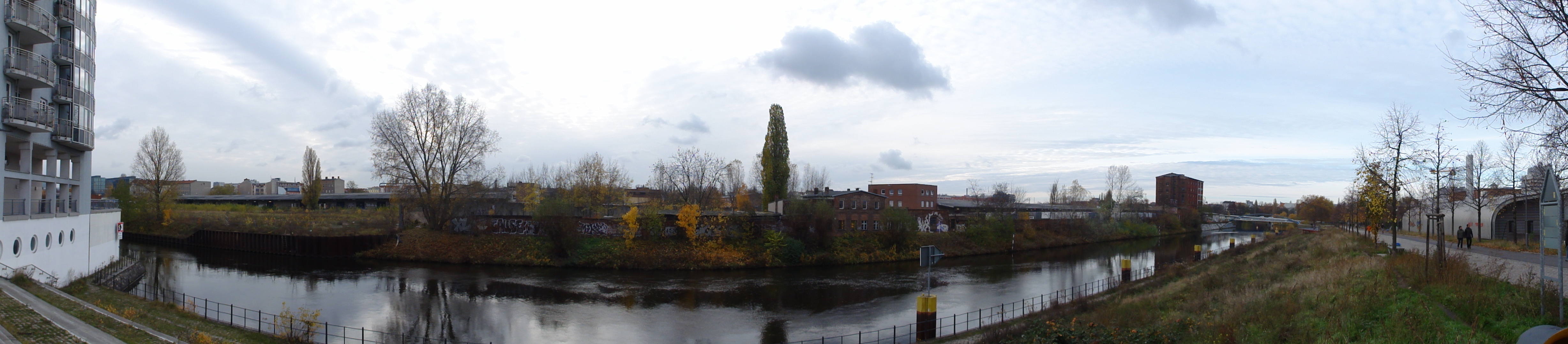
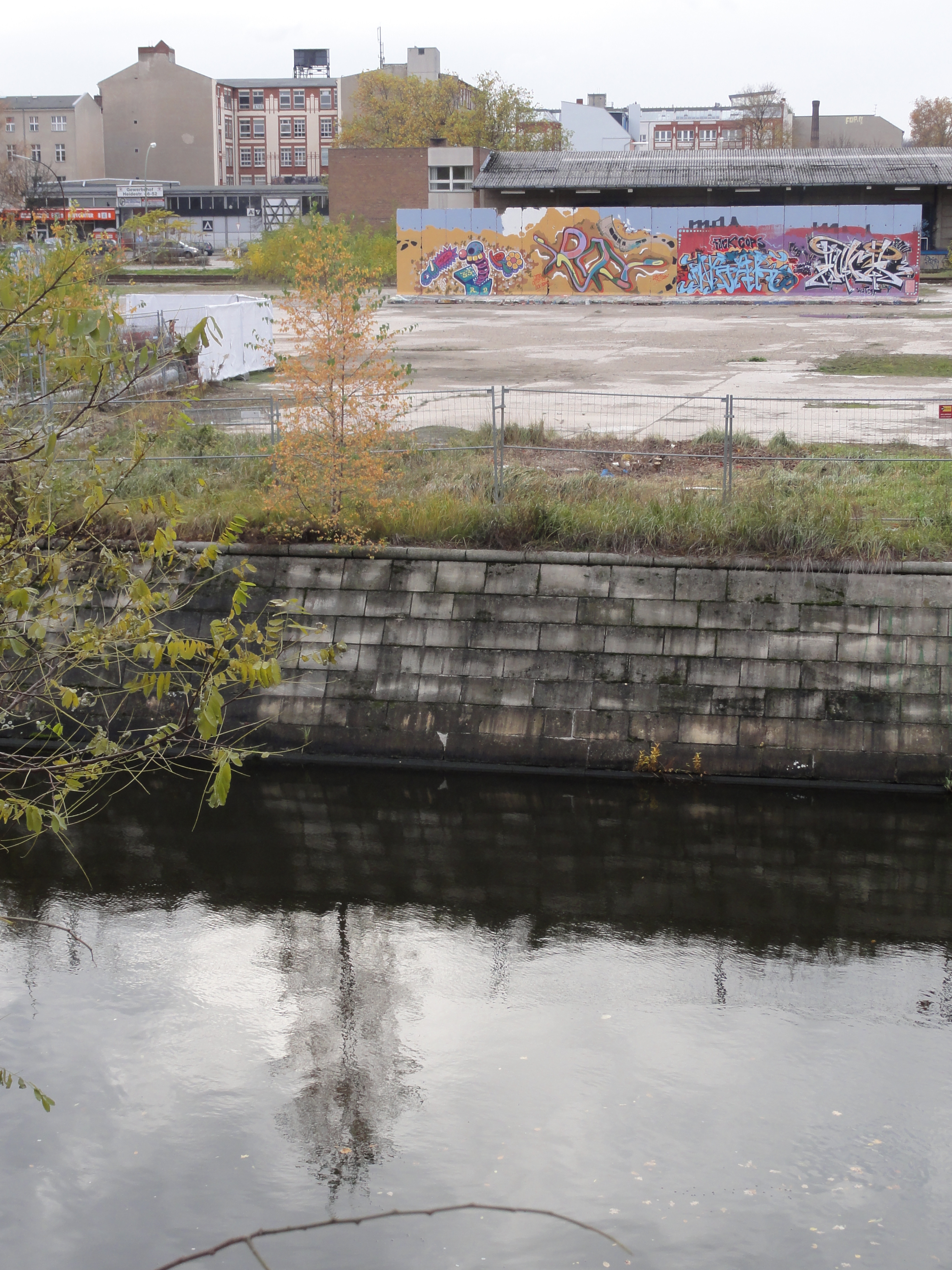
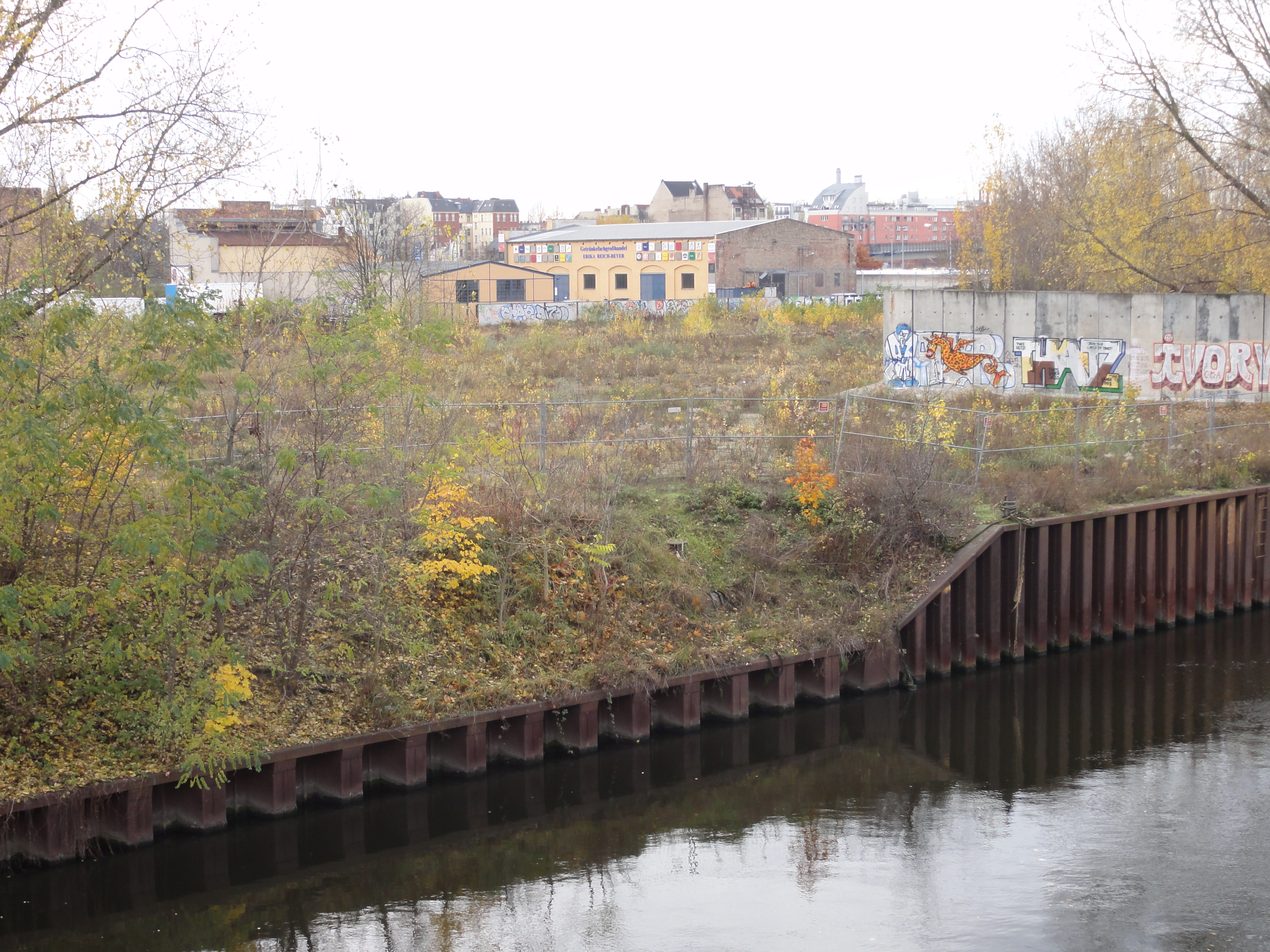
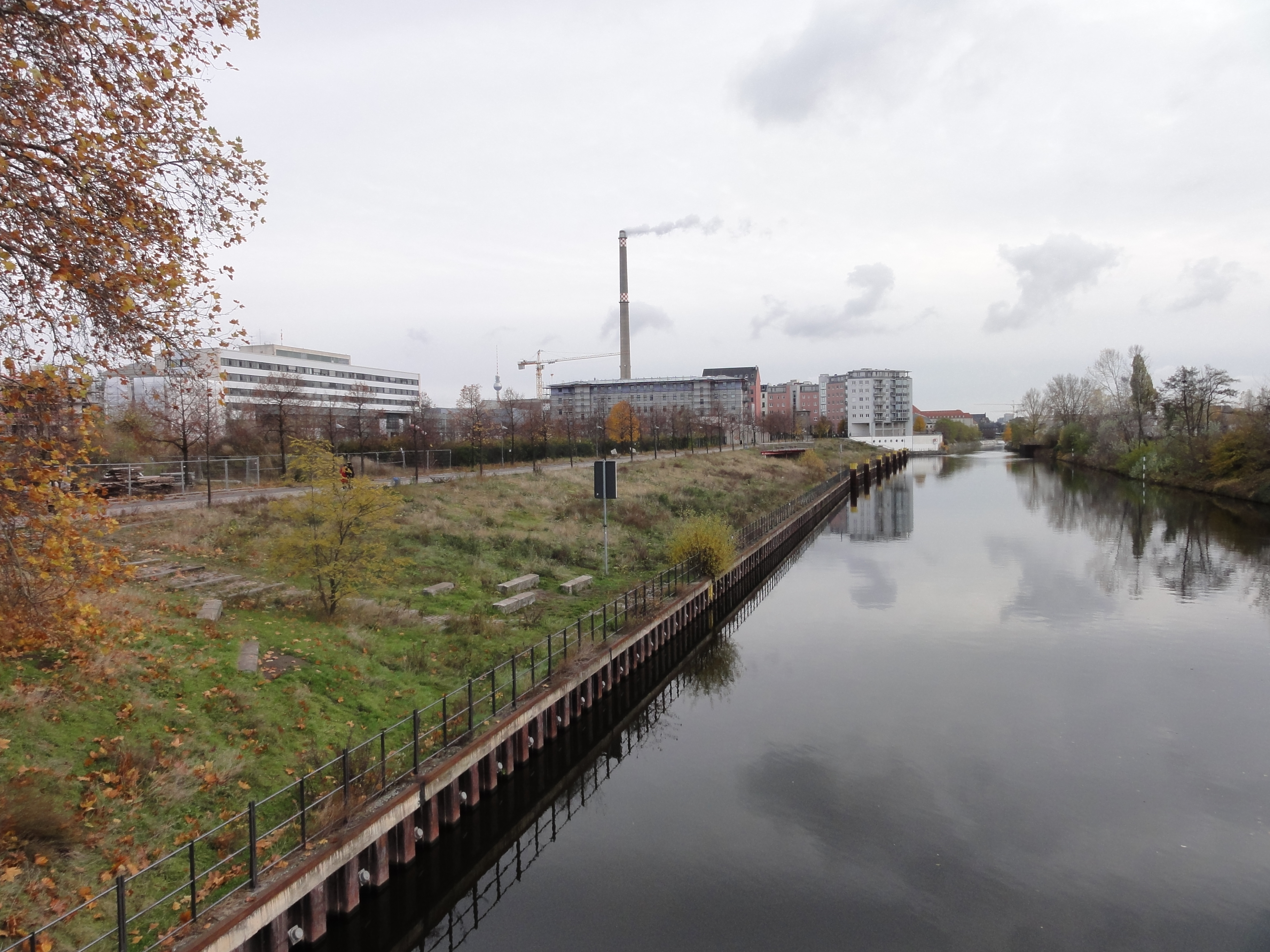
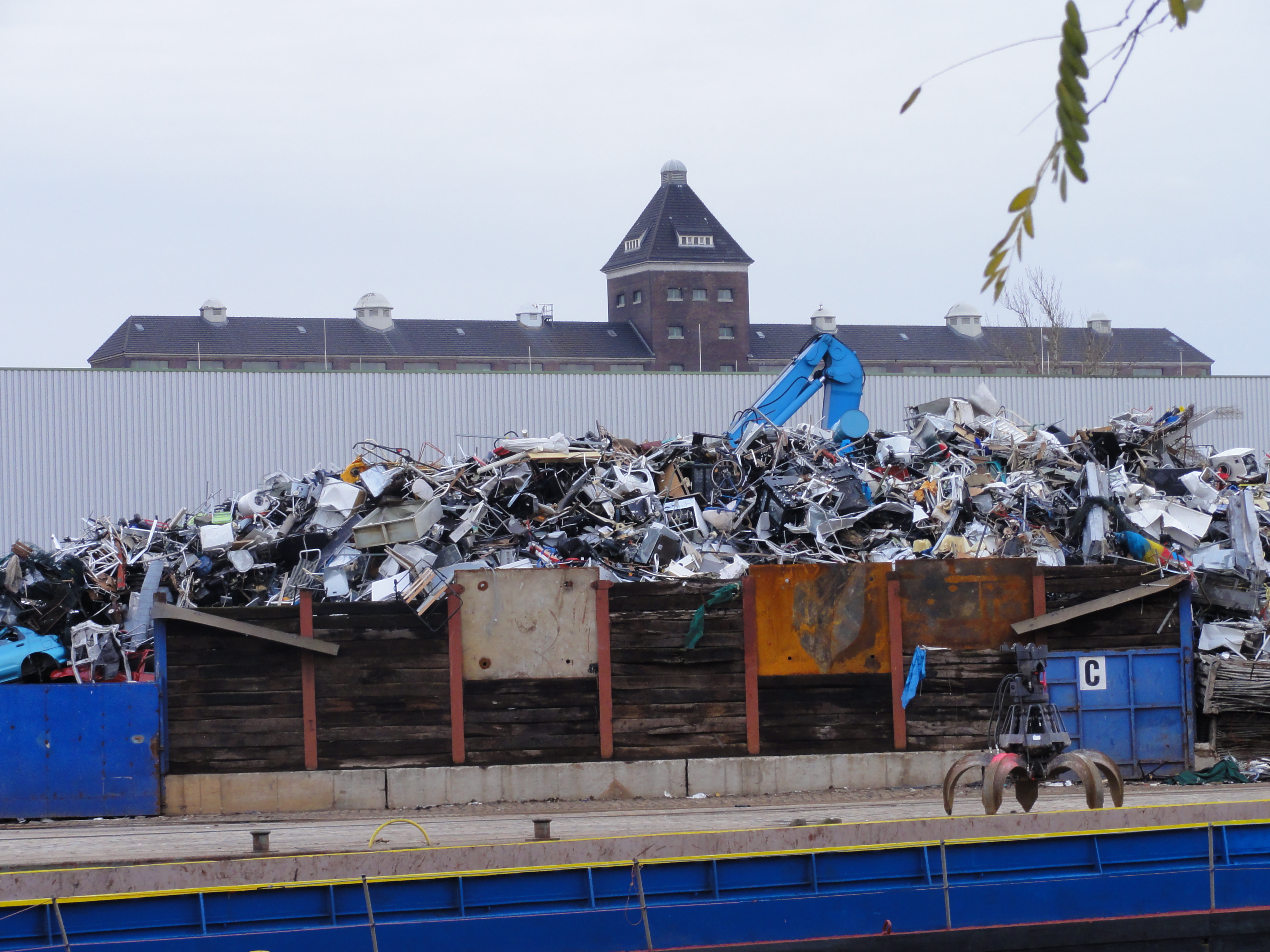
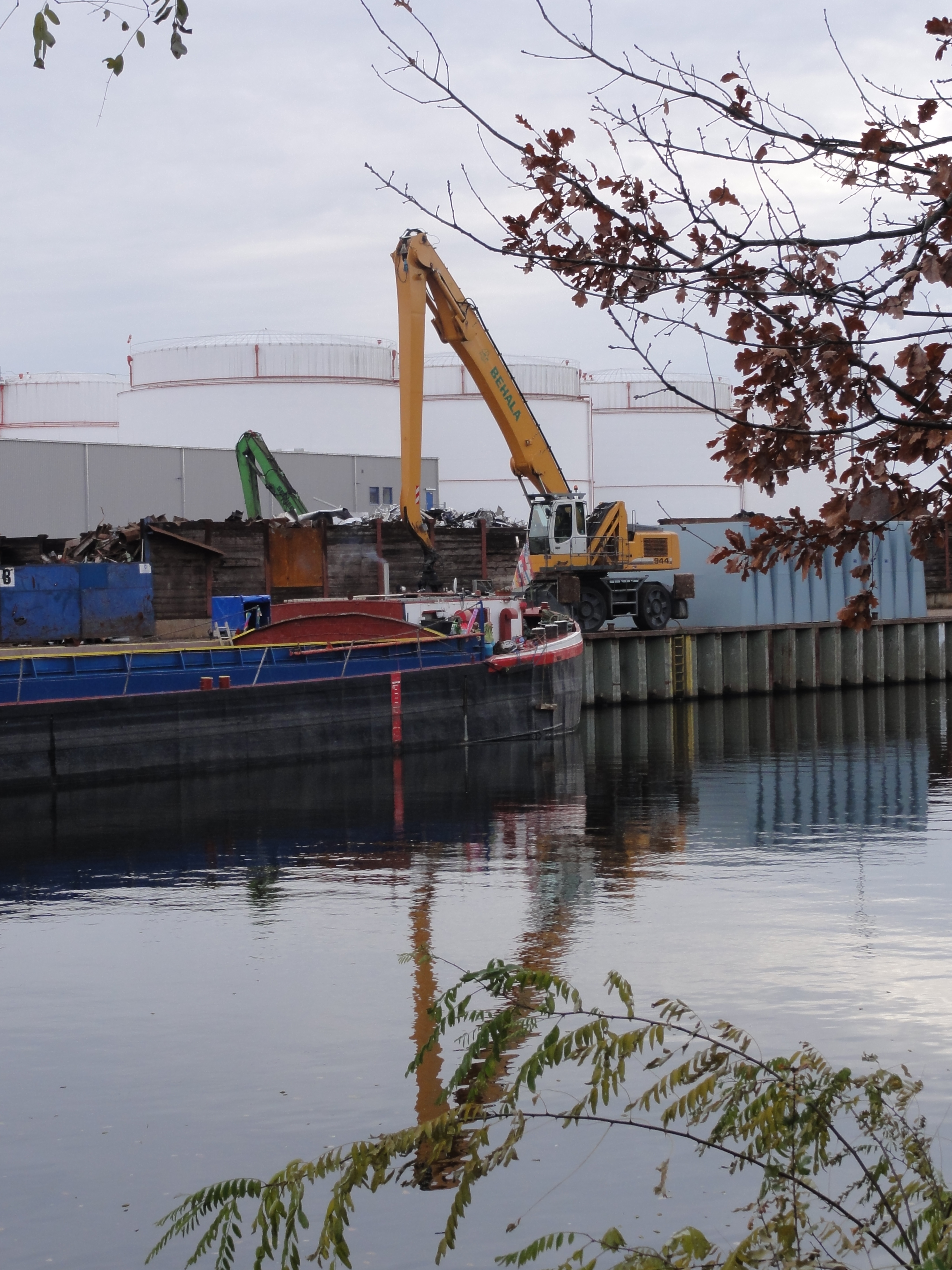
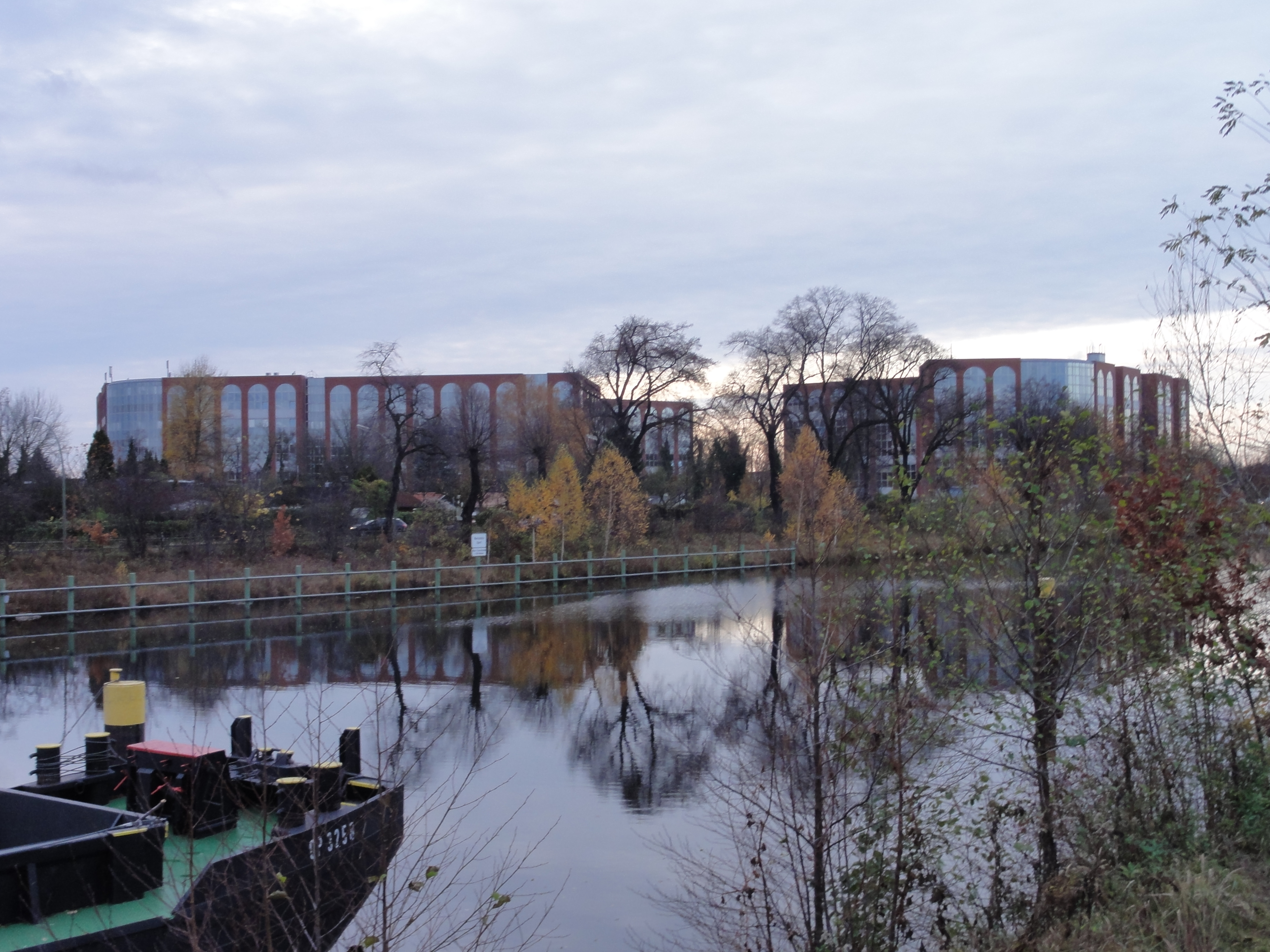
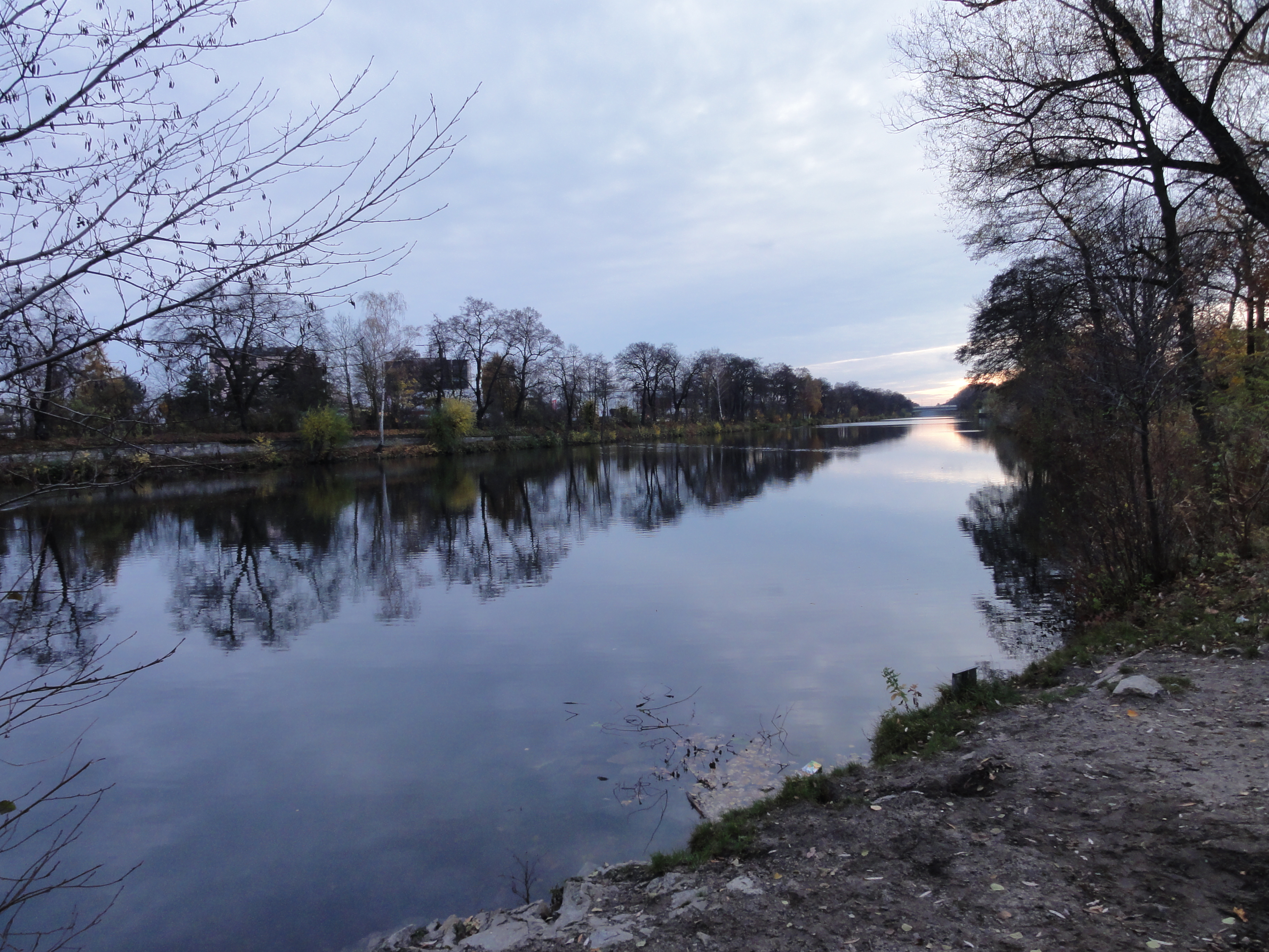
The other half carried the canals!
Like this one we simply have to follow.
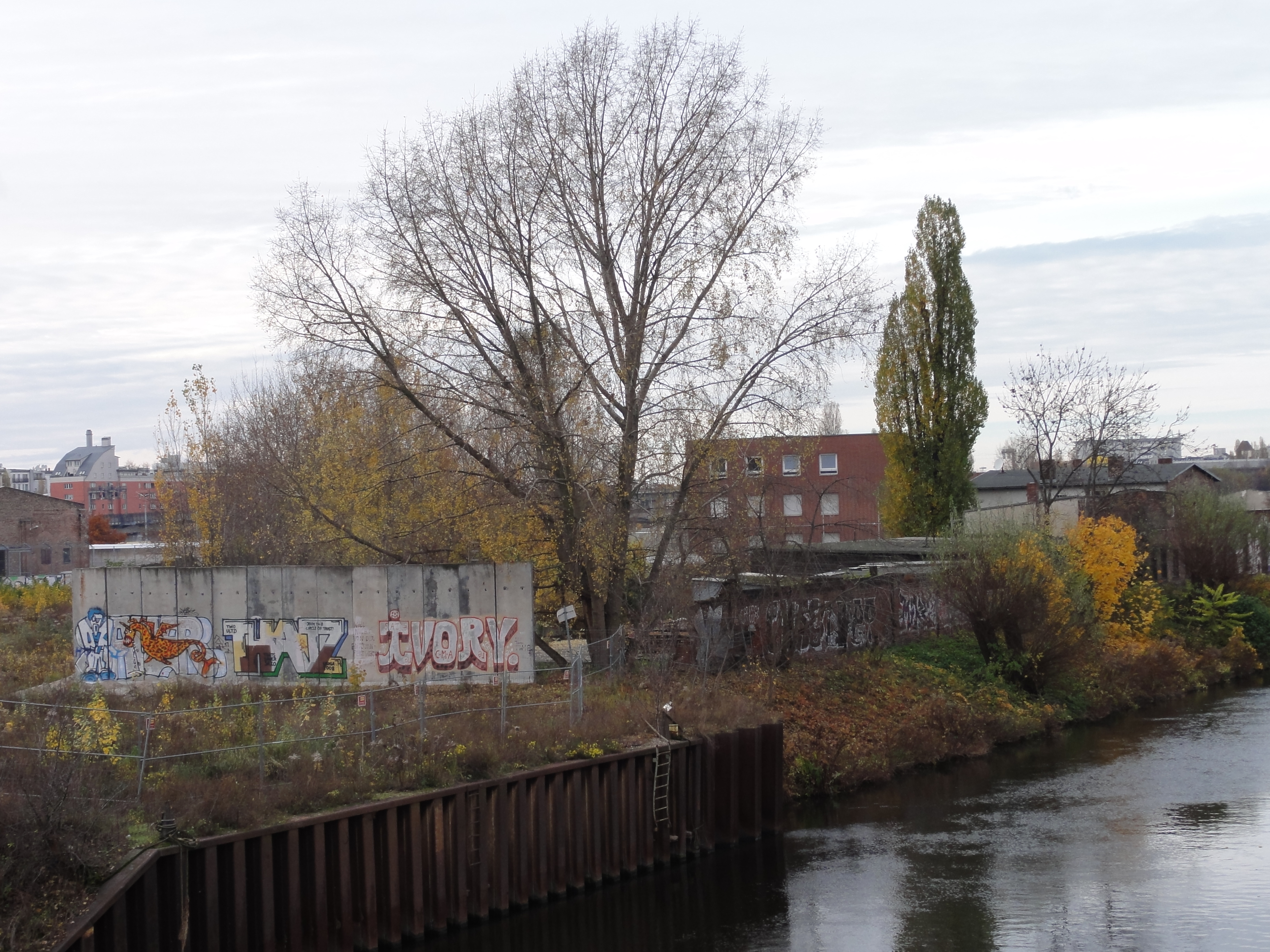
We do not only follow the Spandauer Schiffahrtskanal, but also the sector border, the "Mauer". We pass through the Invaliden Friedhof, a graveyard which now is a monument, and the function of which was made impossible by the border.
|
|
2010:11:07 15:28:57
---
52 deg 31' 55.41" N, 13 deg 22' 13.72" E
286.75
°
©
ml
|
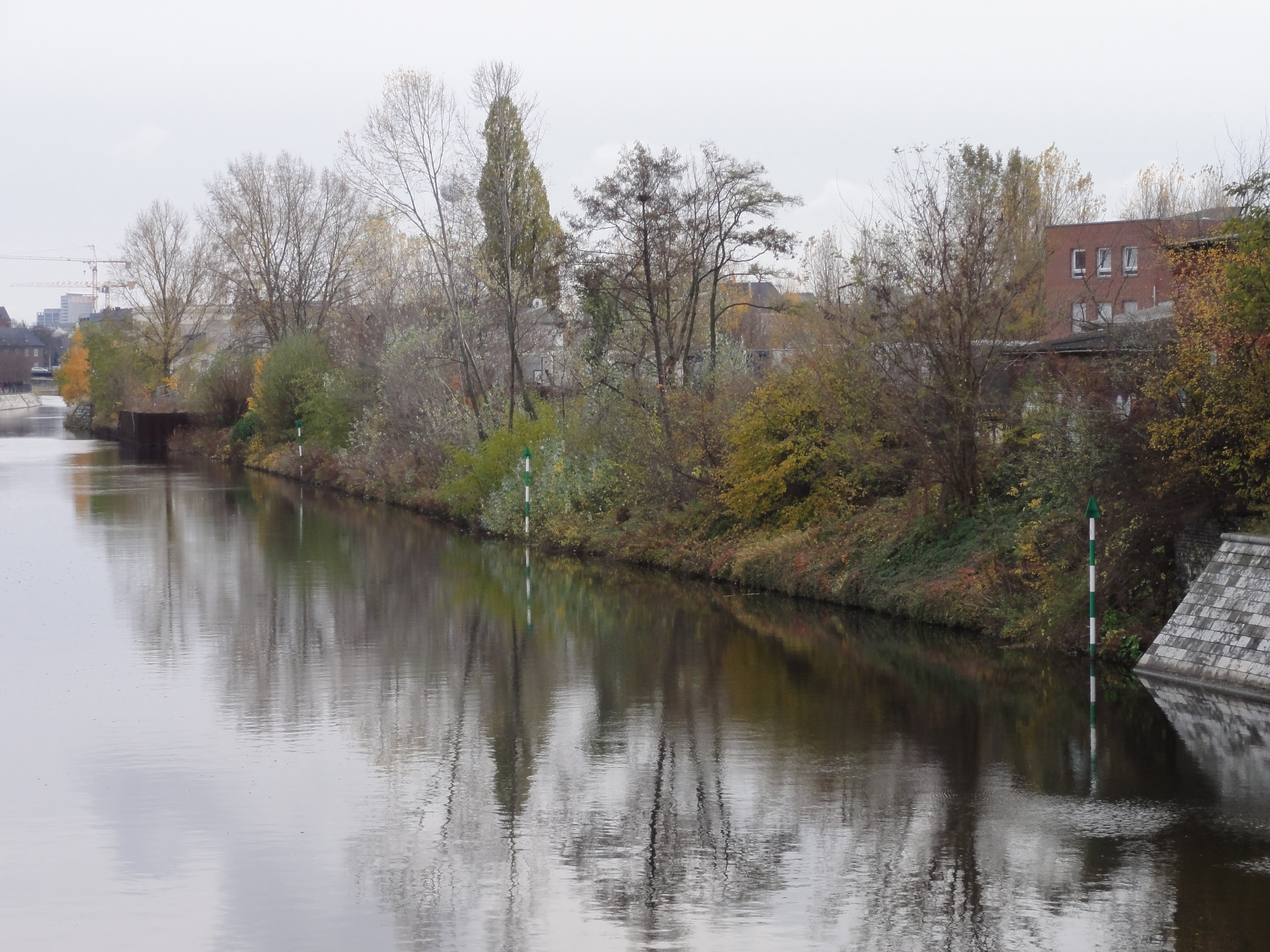
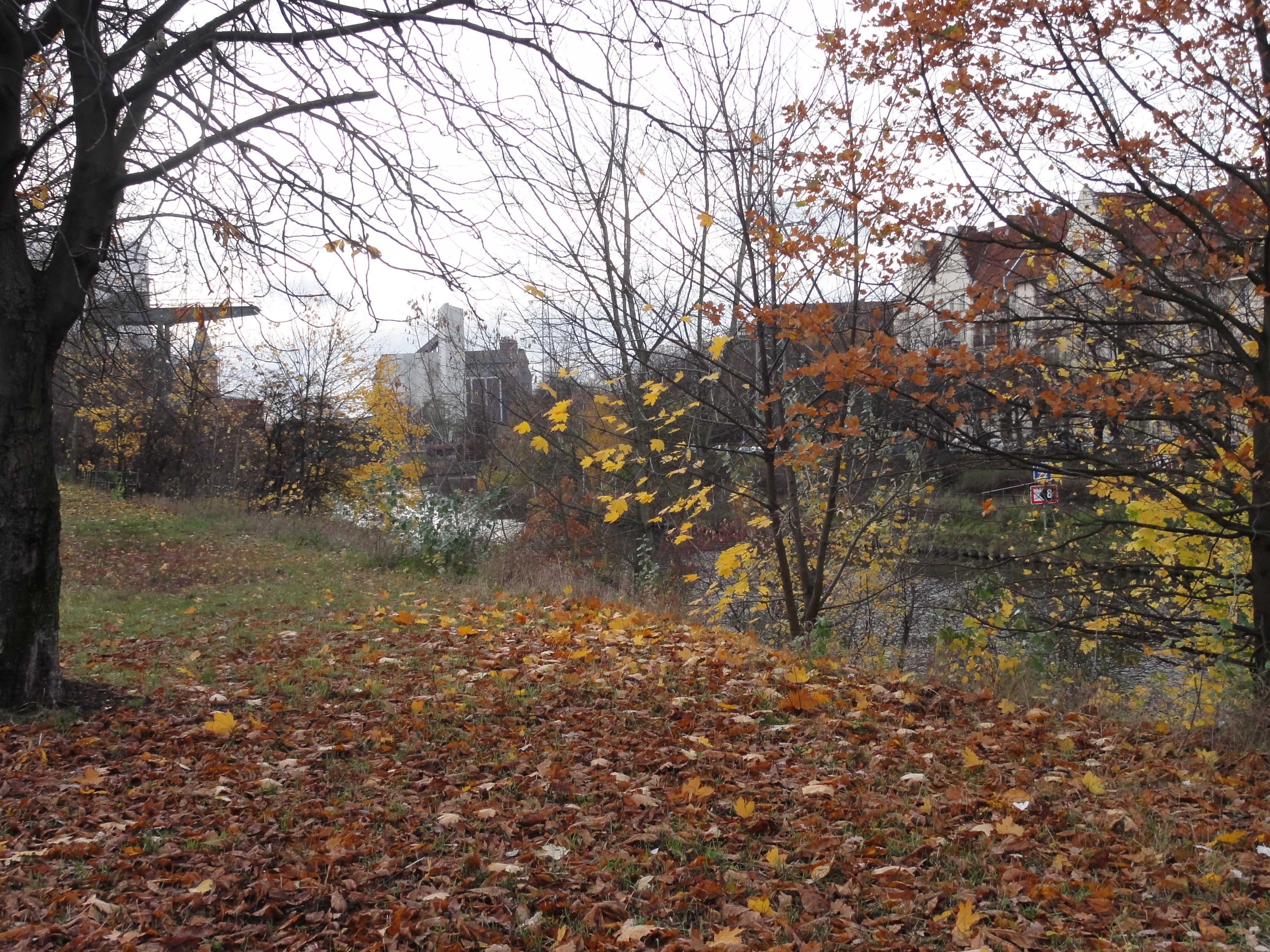
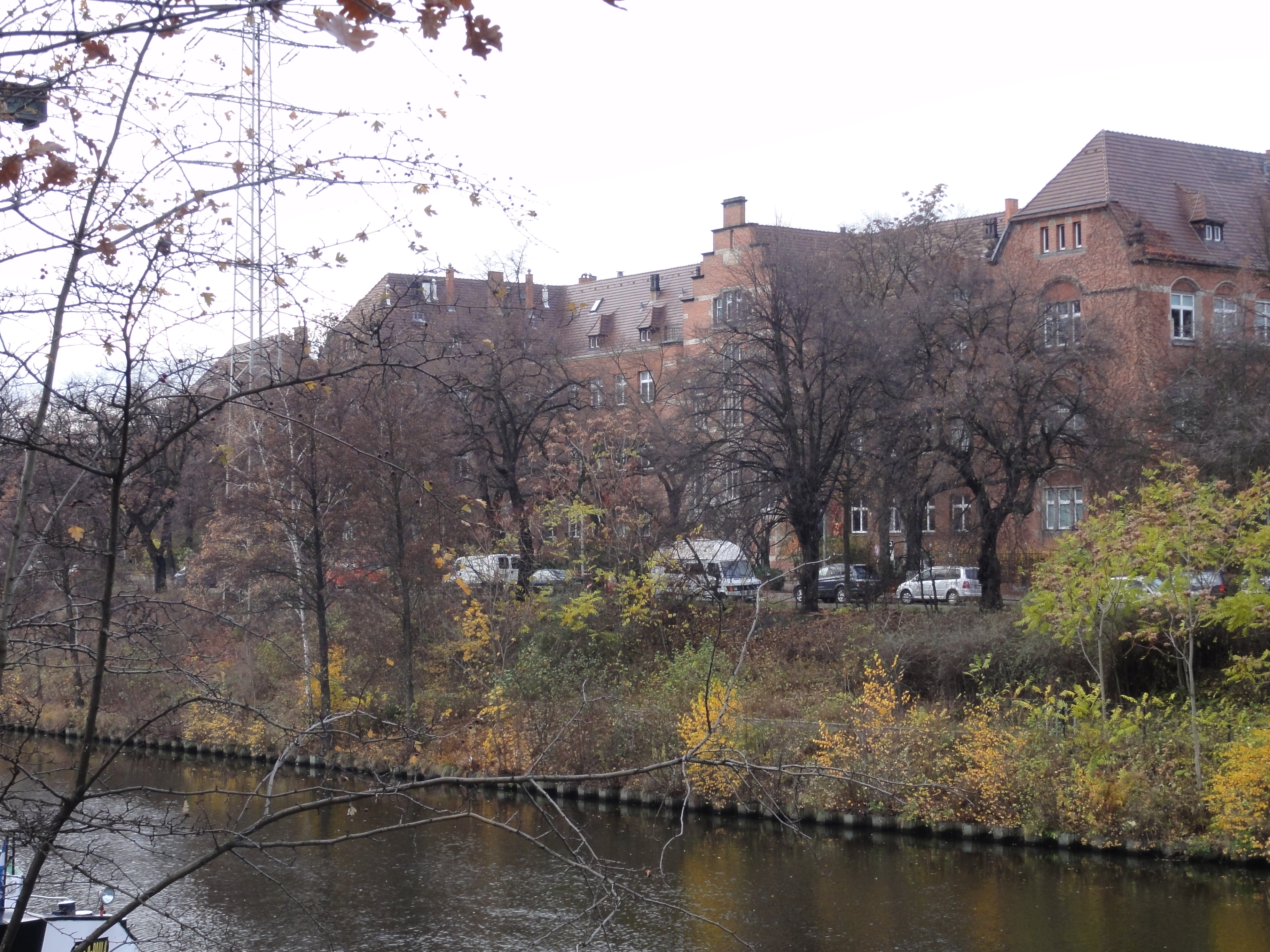
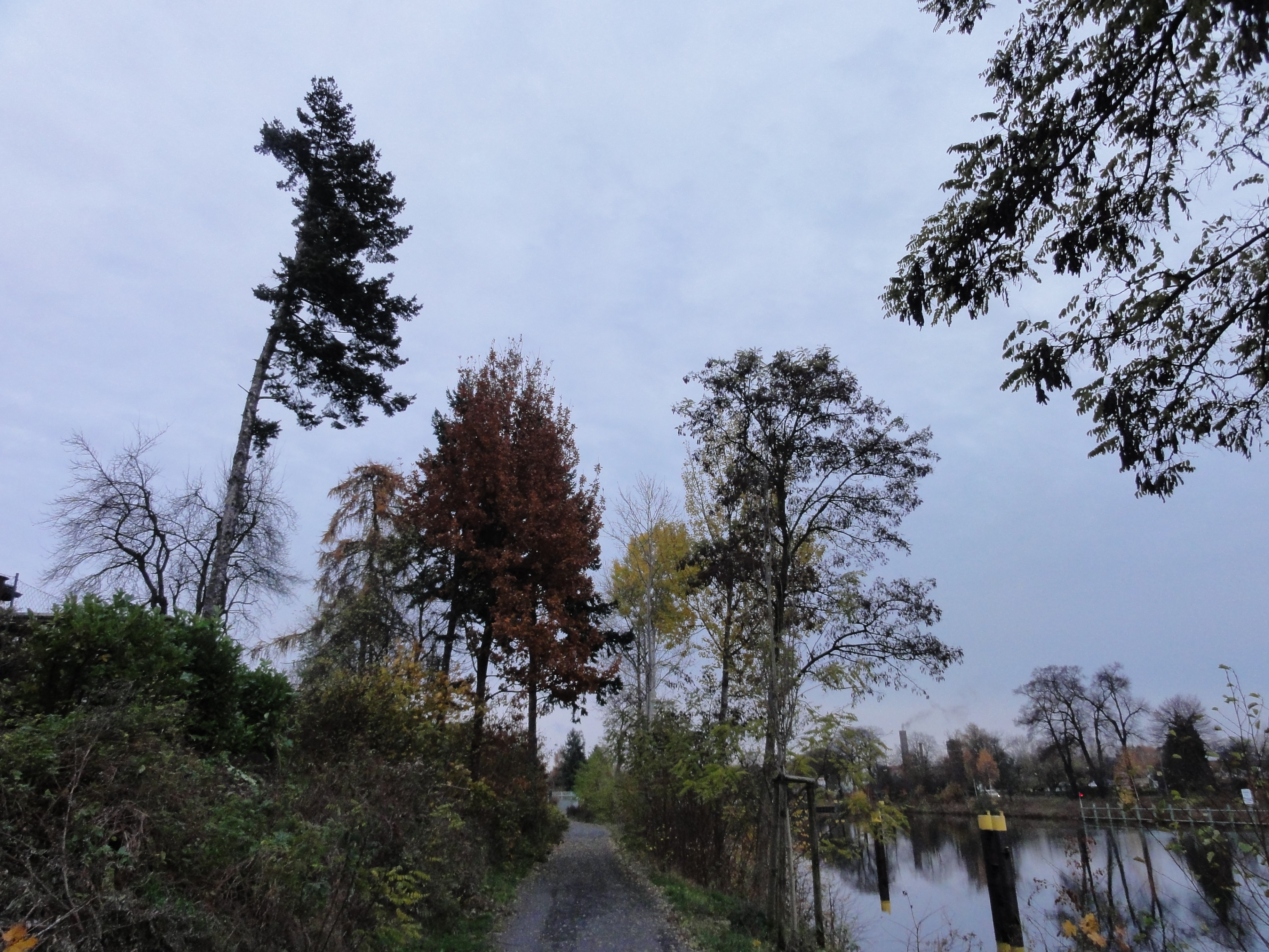
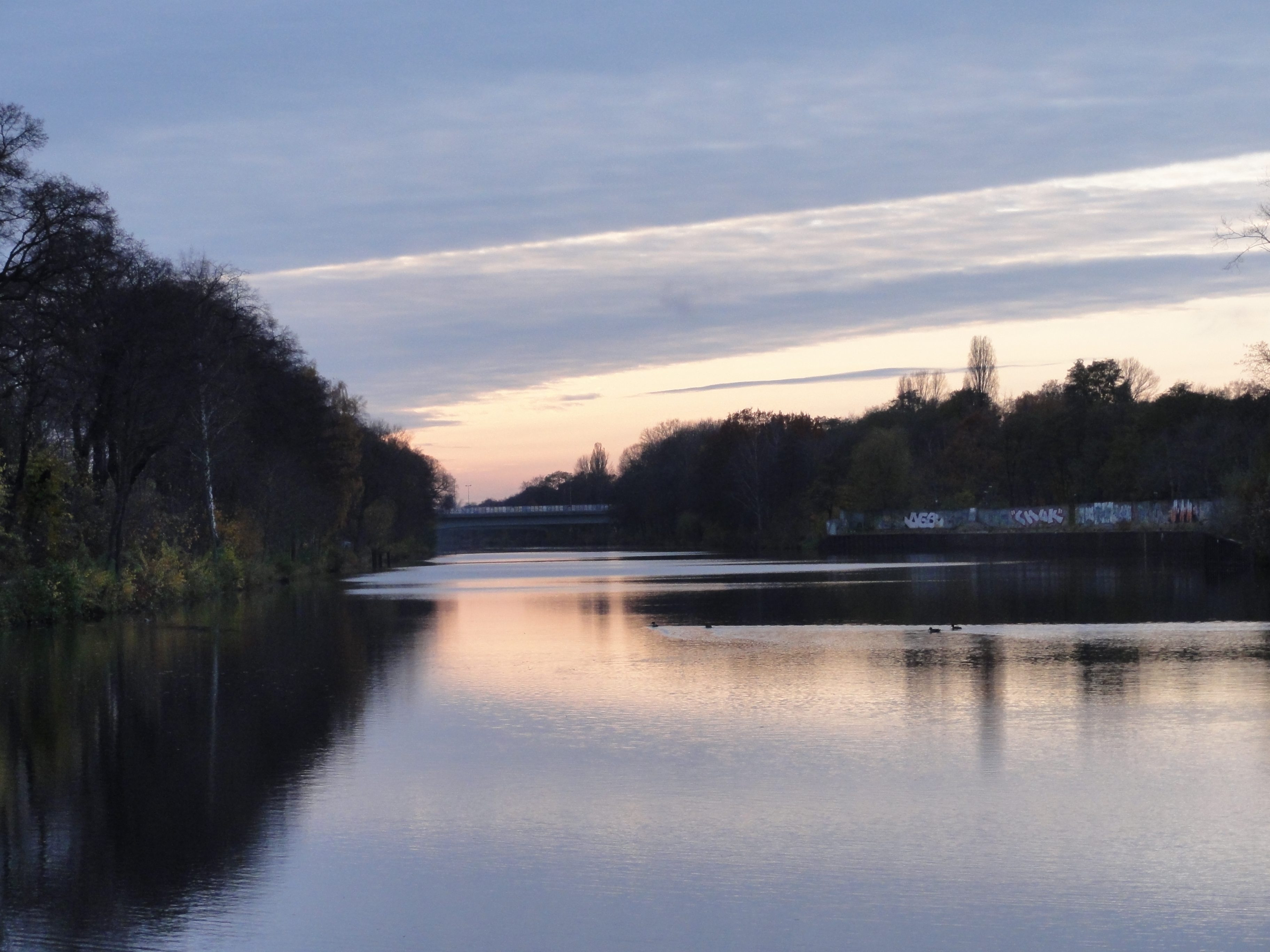
We follow the canal further north, into the Wedding, from time to time looking back:
|
2010:11:07 15:42:01
---
52 deg 32' 9.22" N, 13 deg 21' 58.04" E
 147.75
°
©
ml
147.75
°
©
ml
|
|
2010:11:07 15:42:25
---
52 deg 32' 9.22" N, 13 deg 21' 58.02" E
 178.25
°
©
ml
178.25
°
©
ml
|
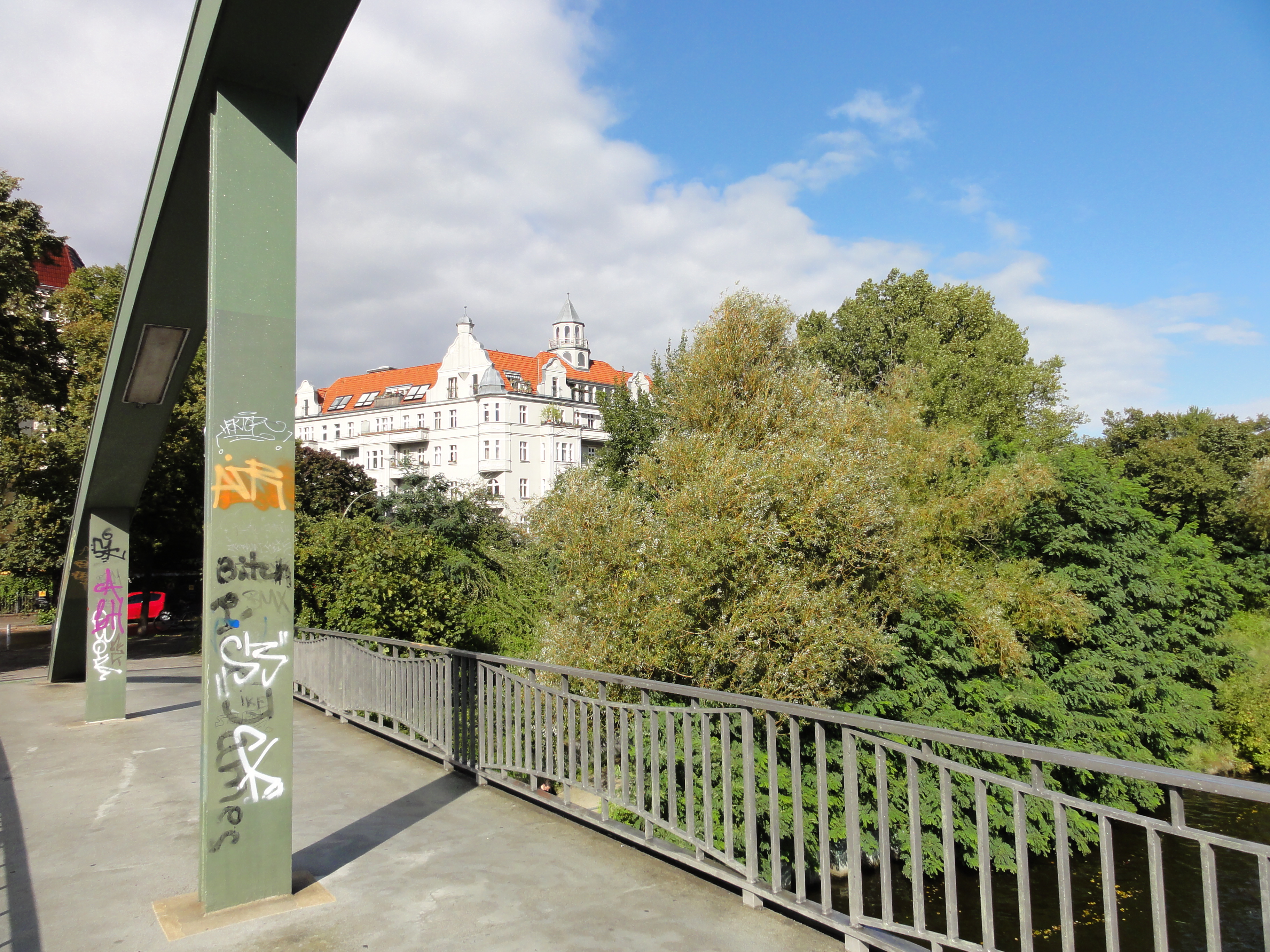
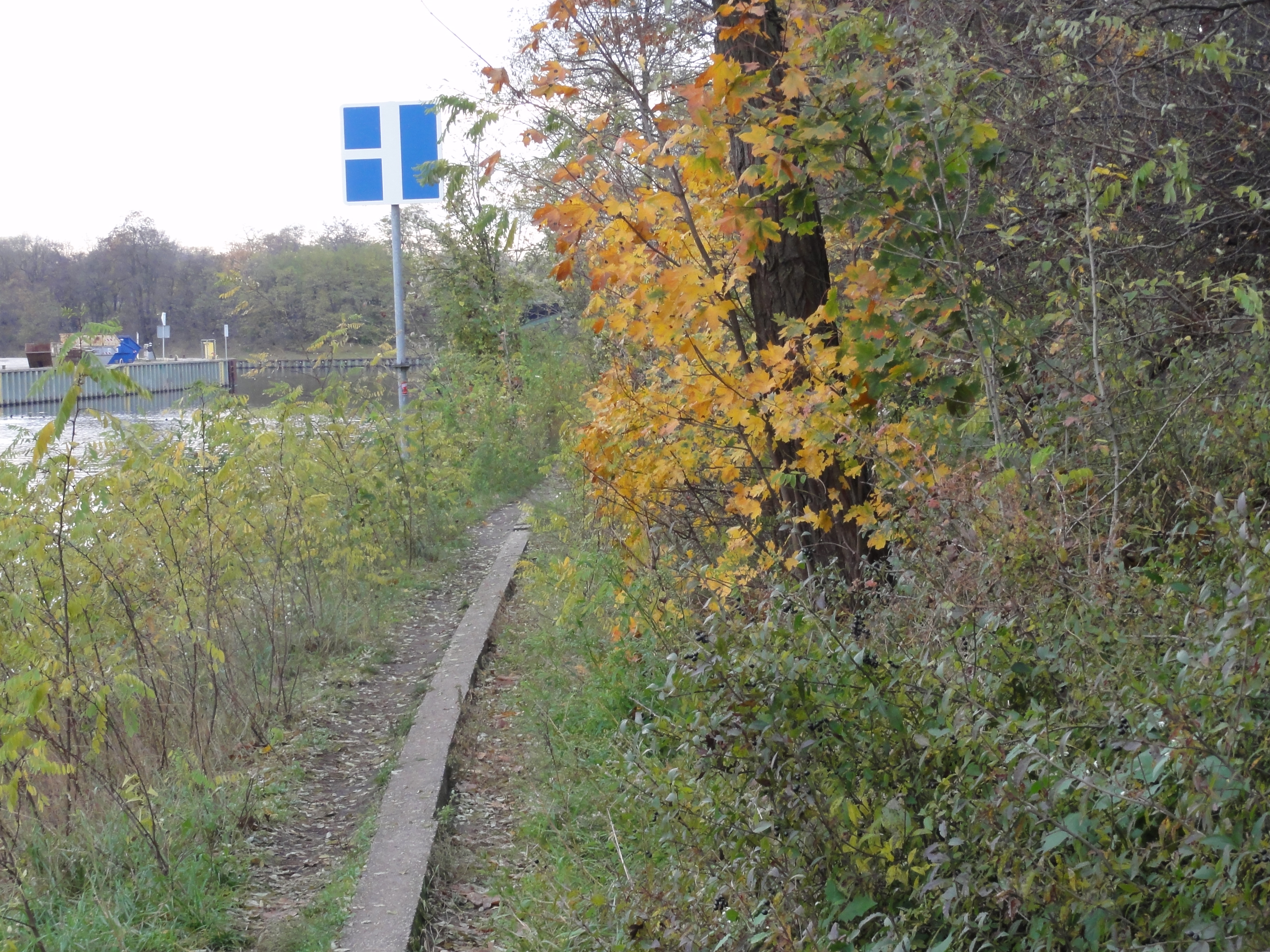
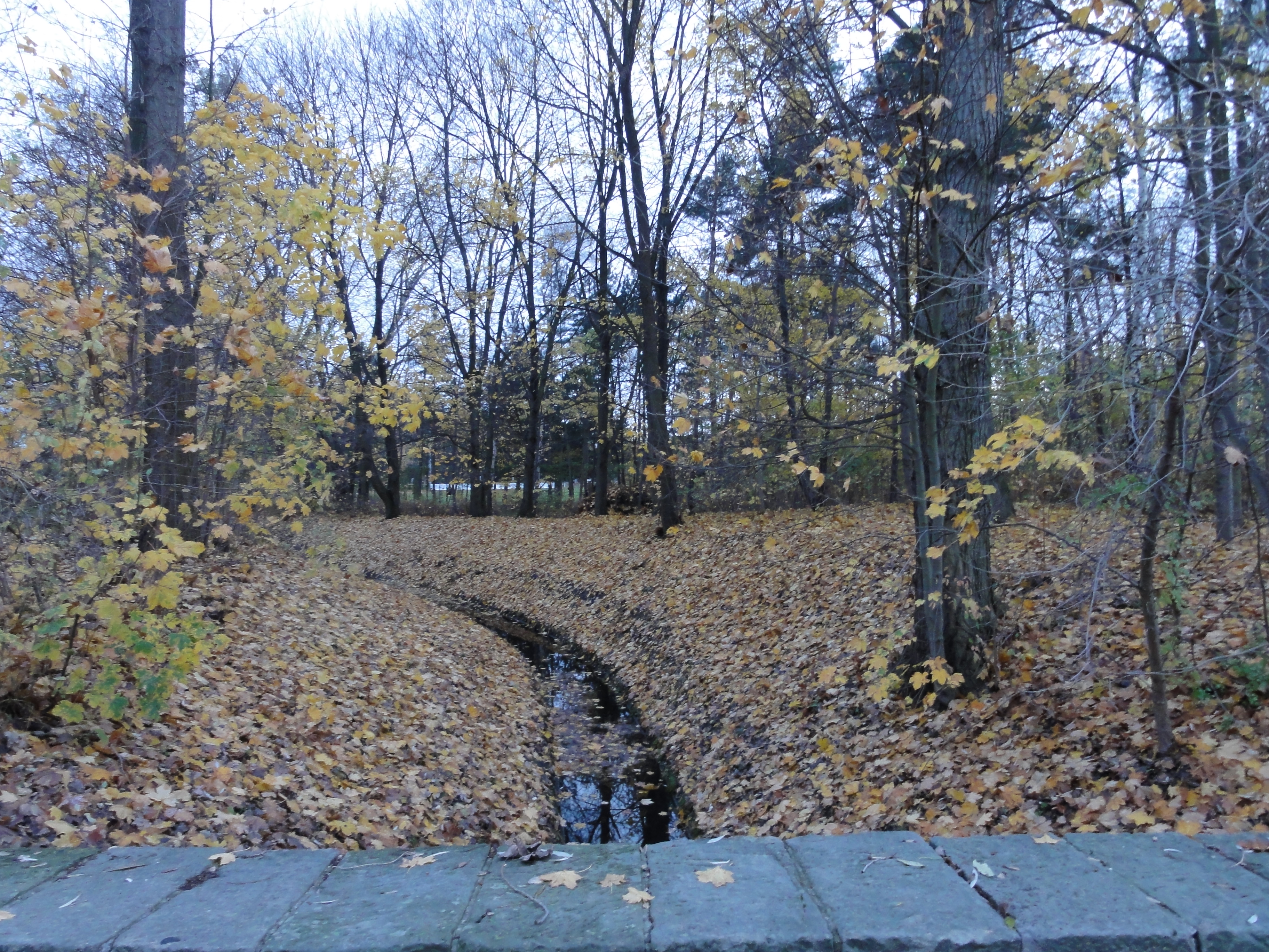
Then we reach the first opportunity to cross the canal, the
"Torfstraßensteg"; a pedestrians' bridge.
A few yards before, the river Panke ends into the canal.
Is is better called a creek than a river, but of course it is very important
for Pank-ow and other places. You CAN follow it from here up to
Bernau, which is a real whole day's tour.
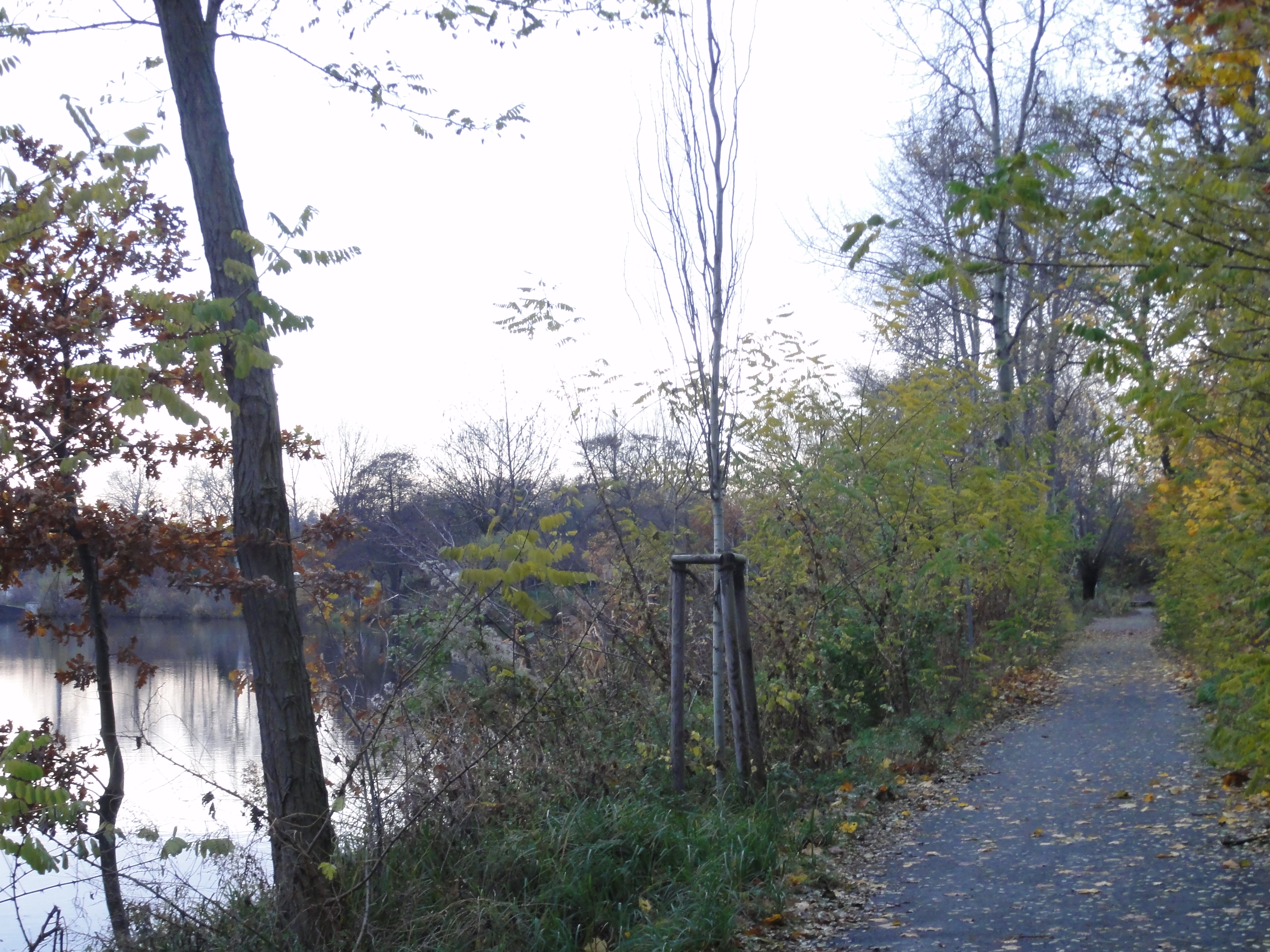
We take the freedom to cross the water
(a few years ago you got shot just for the attempt !!)
and follow the canal now on its western side.
In deed, from here on
both sides are very beatiful and interesting: you can also follow the side
you're on, and will get some explanations on flowers and animals
by info boards at the waterside.
(But since we know already, we crossed !-)
|
2010:09:18 14:53:39
---
52 deg 32' 21.61" N, 13 deg 21' 7.74" E
 9
°
©
ml
9
°
©
ml
|
|
2010:09:18 14:55:30
---
52 deg 32' 21.43" N, 13 deg 21' 8.99" E
 93.75
°
©
ml
93.75
°
©
ml
|
|
|
2010:11:07 15:47:14
---
52 deg 32' 10.56" N, 13 deg 21' 47.11" E
253.75
°
©
ml
|
|
2010:11:07 15:47:34
---
52 deg 32' 10.69" N, 13 deg 21' 46.83" E
 338
°
©
ml
338
°
©
ml
|
|
|
2010:11:07 15:49:12
---
52 deg 32' 10.54" N, 13 deg 21' 46.16" E
17.75
°
©
ml
|
|
2010:11:07 15:49:48
---
52 deg 32' 12.44" N, 13 deg 21' 40.71" E
 43.75
°
©
ml
43.75
°
©
ml
|
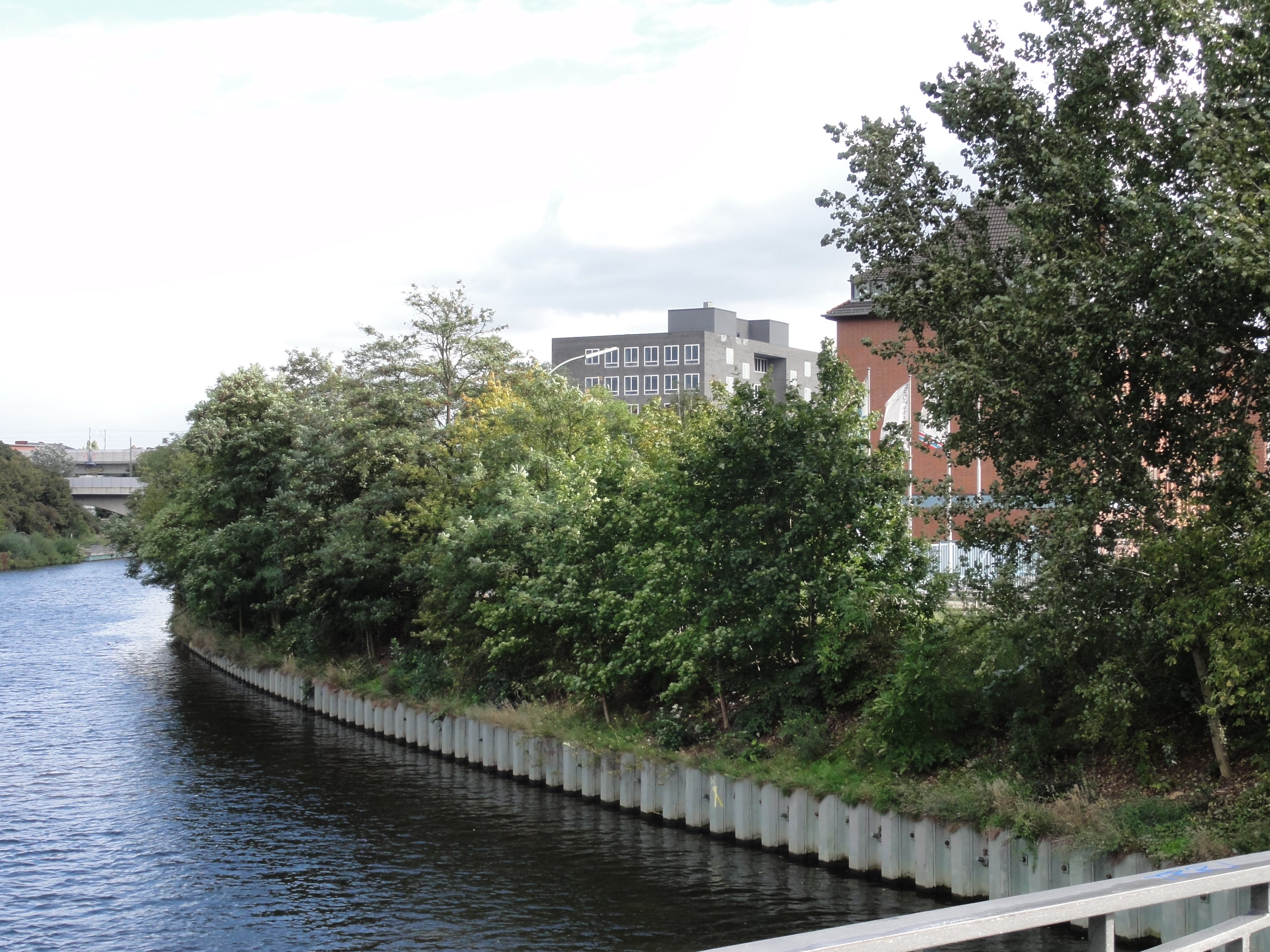
This is one of my favourite fotos: In the background SCHERING! You are in the heart of Wedding! Don't believe!

|
2010:11:07 15:50:13
---
52 deg 32' 13.19" N, 13 deg 21' 40.06" E
 47.25
°
©
ml
47.25
°
©
ml
|
|
|
2010:11:07 16:01:56
---
52 deg 32' 19.17" N, 13 deg 21' 4.90" E
251.75
°
©
ml
|
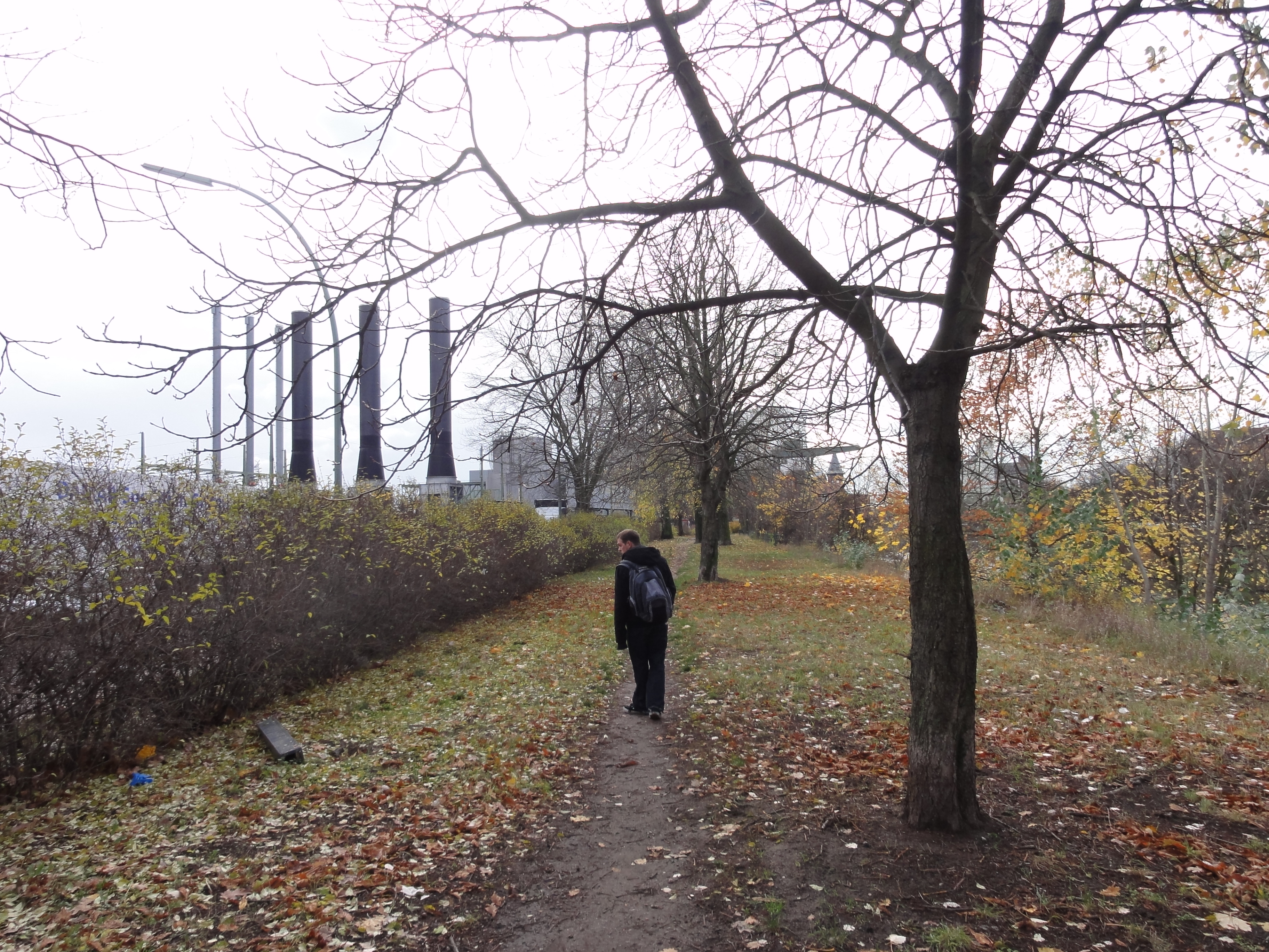
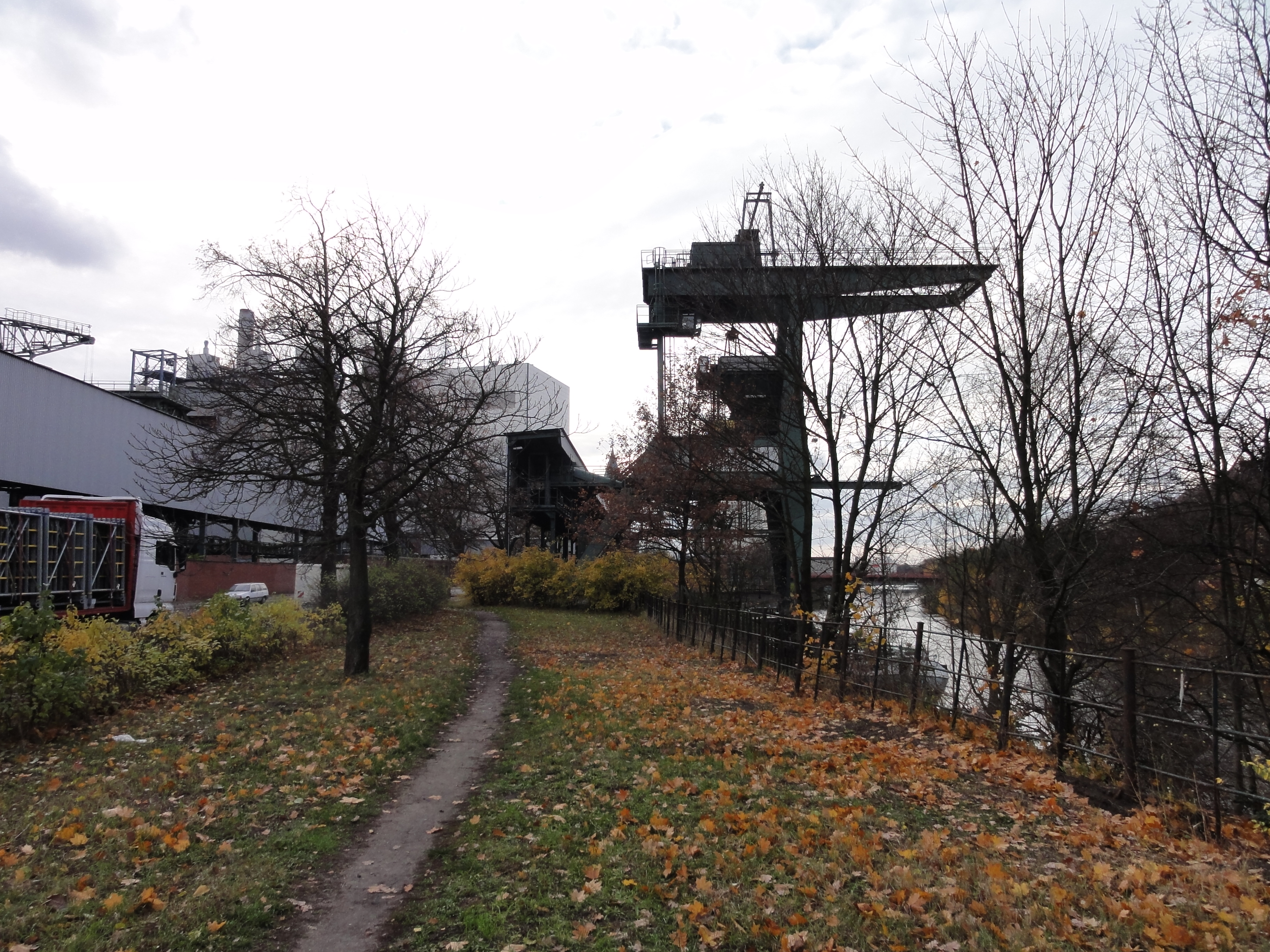
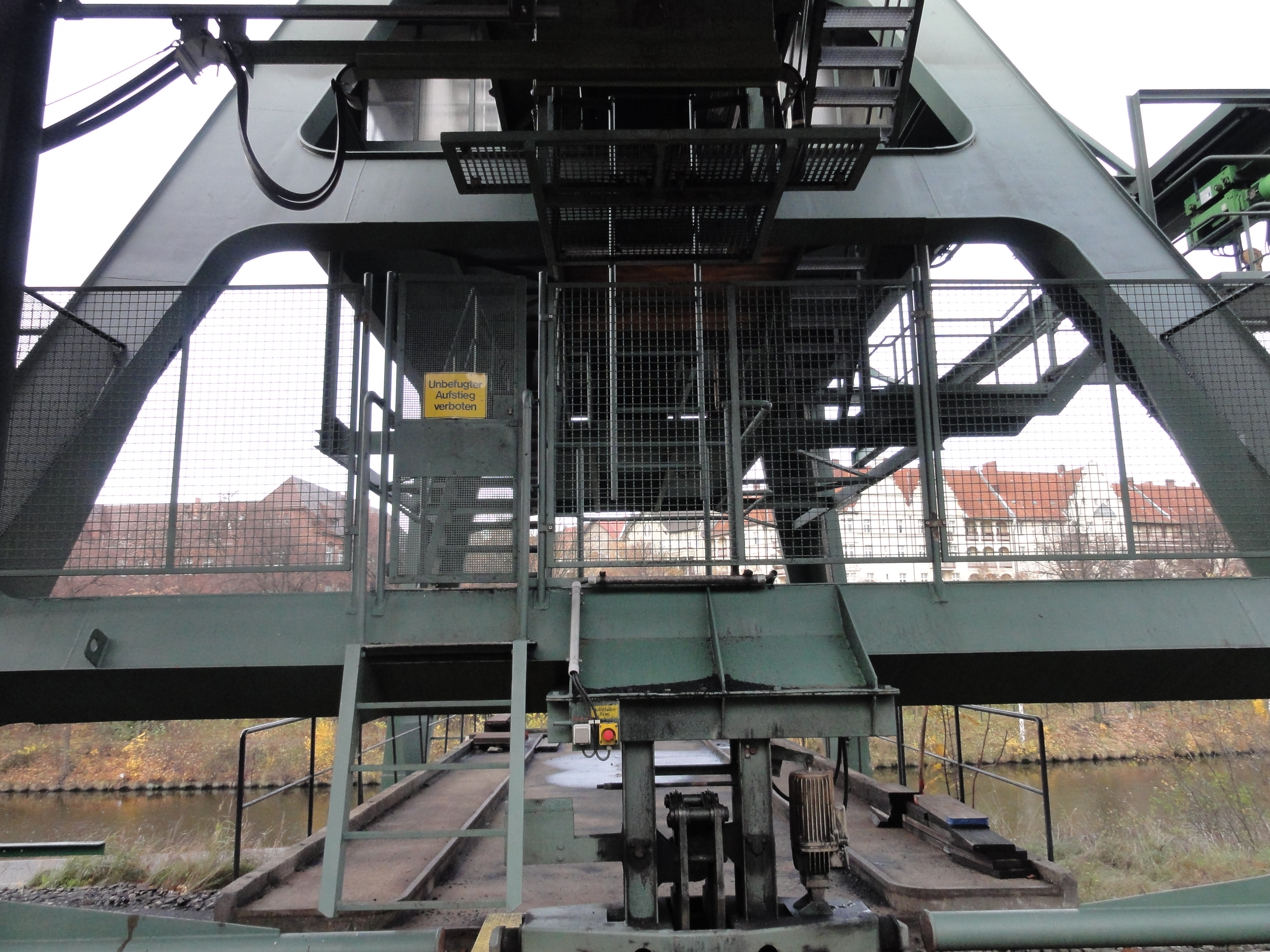
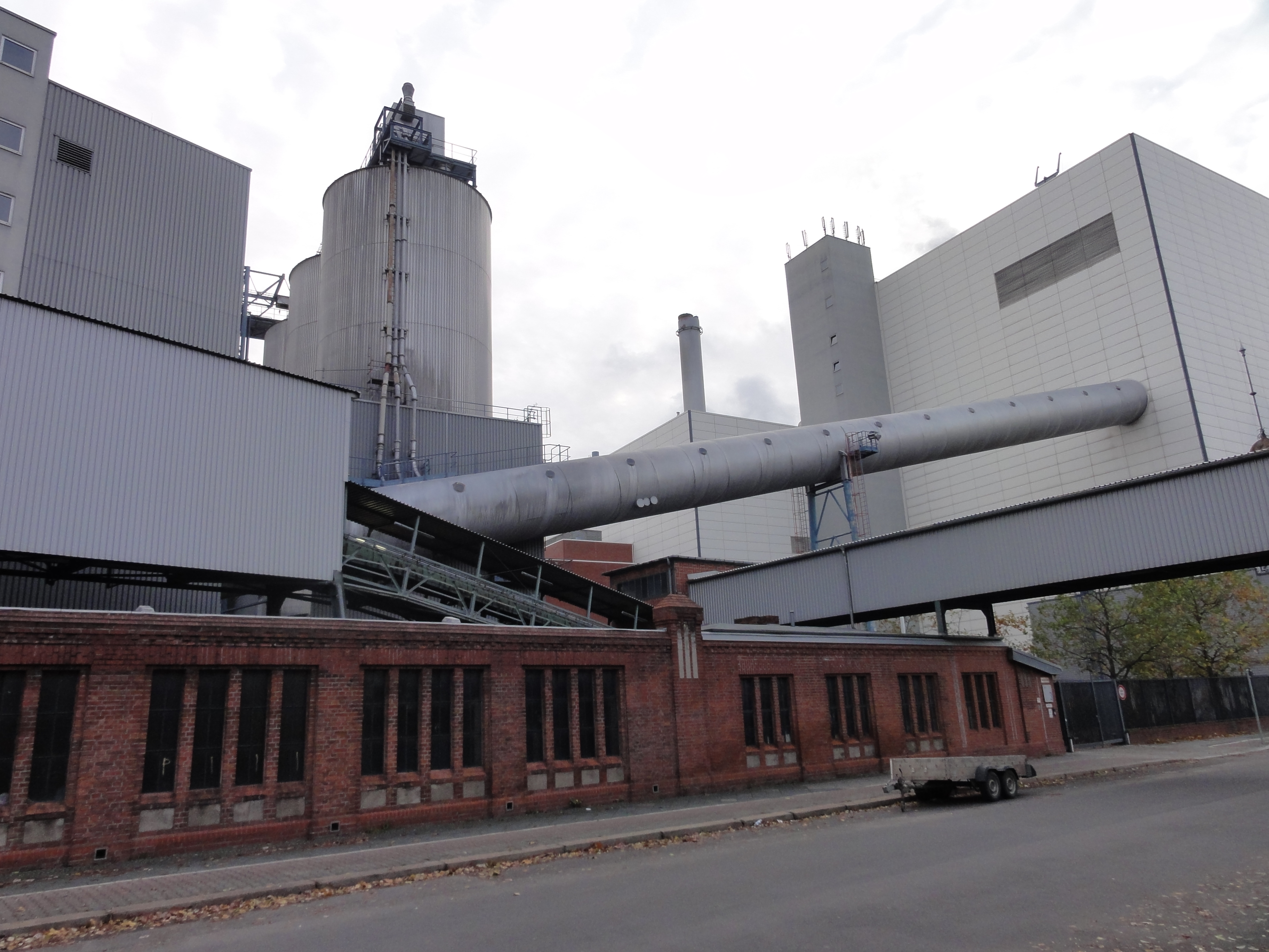
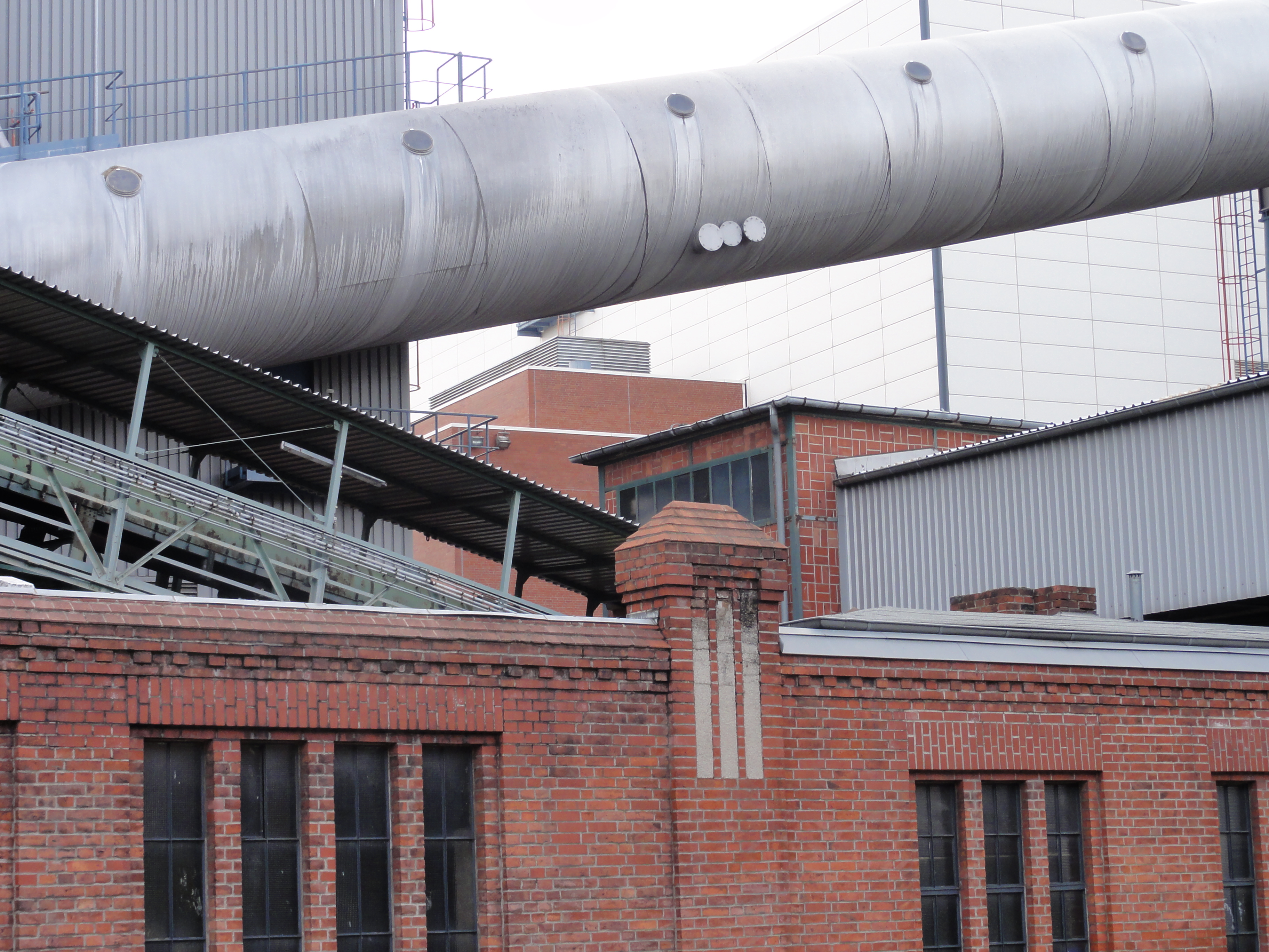
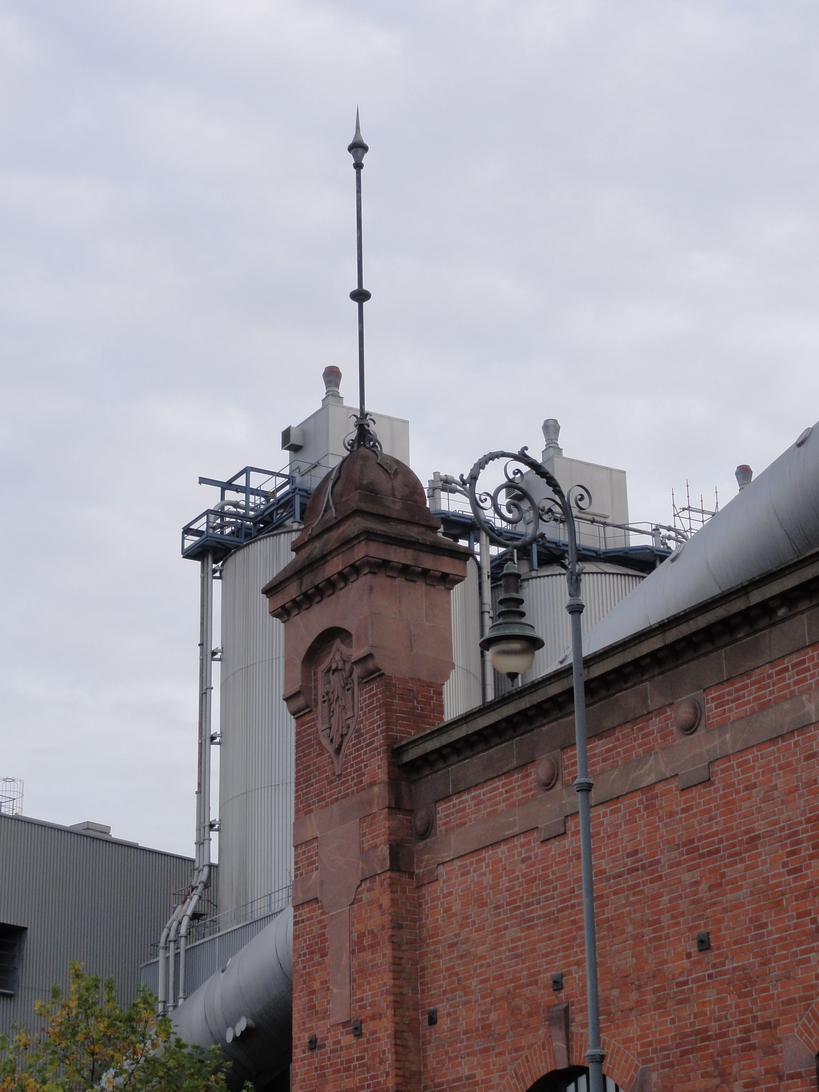
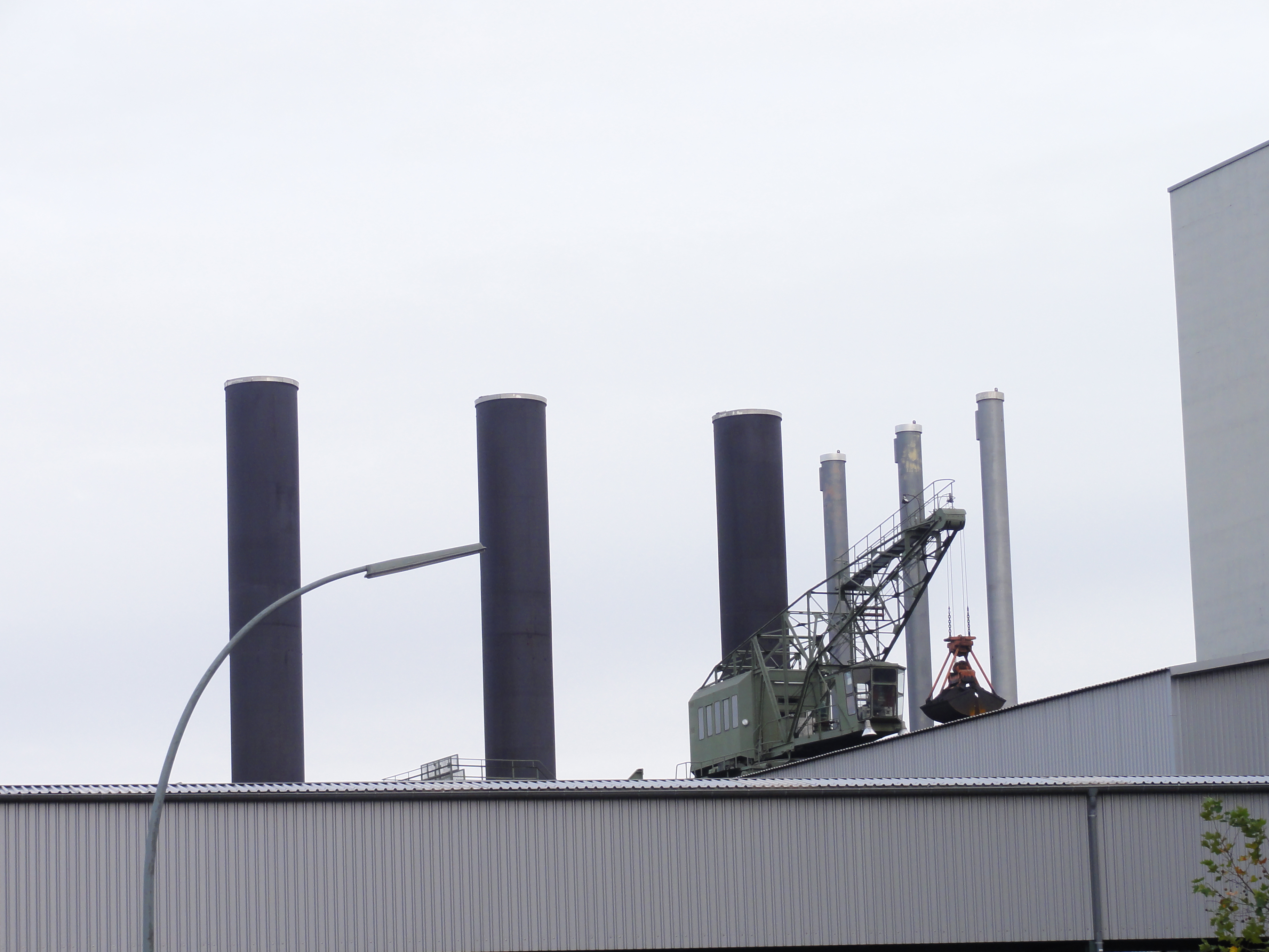
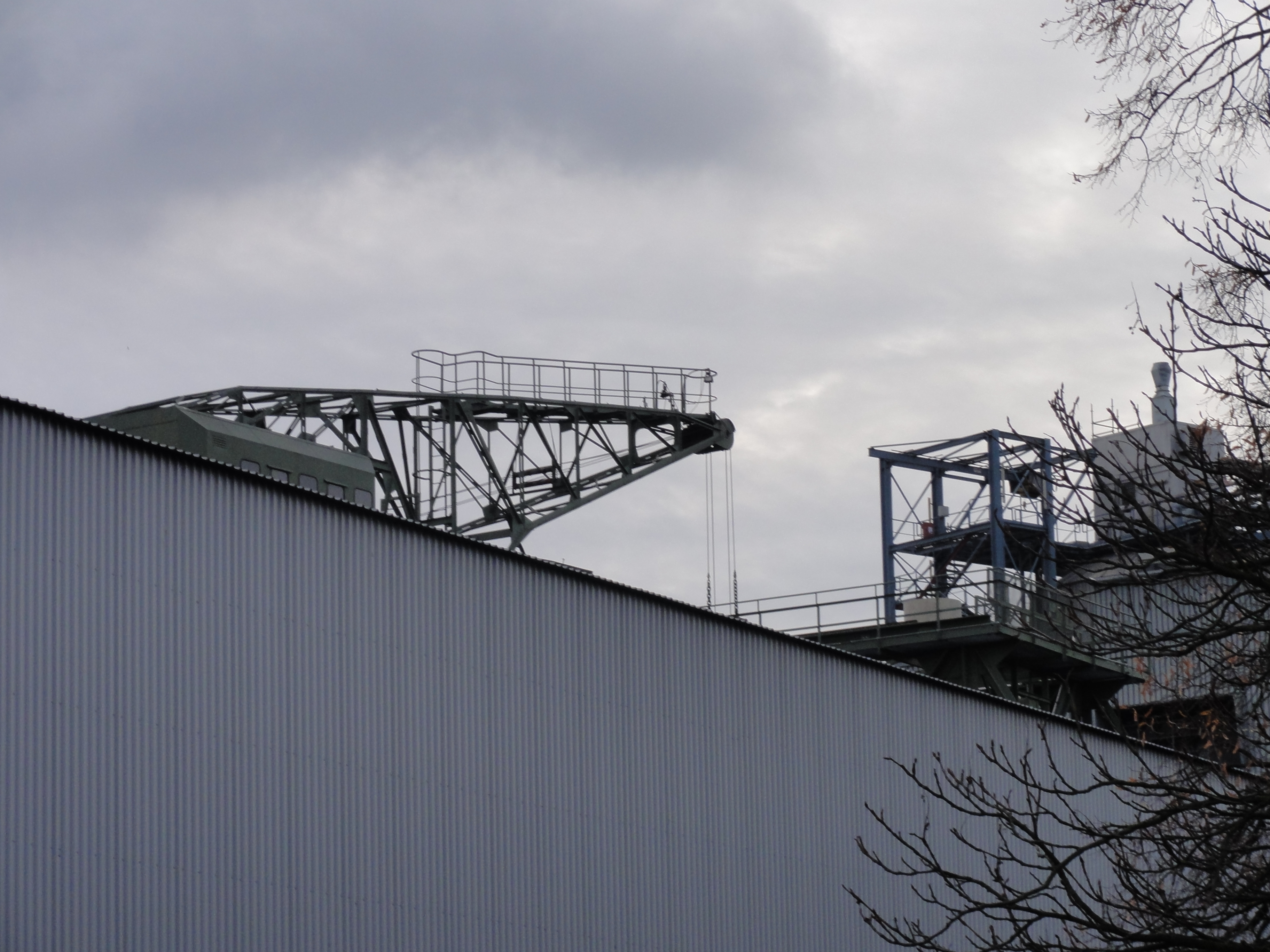
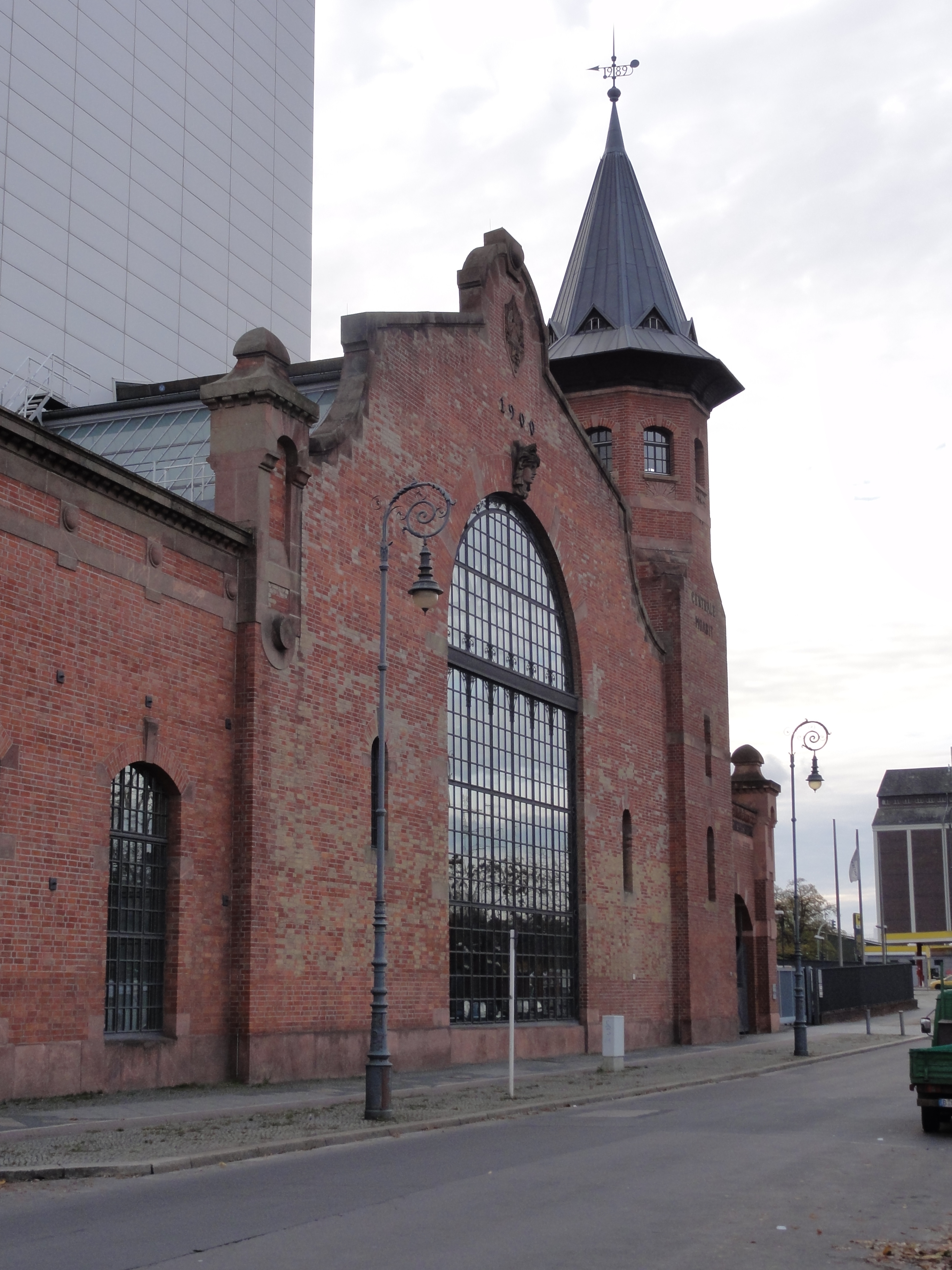
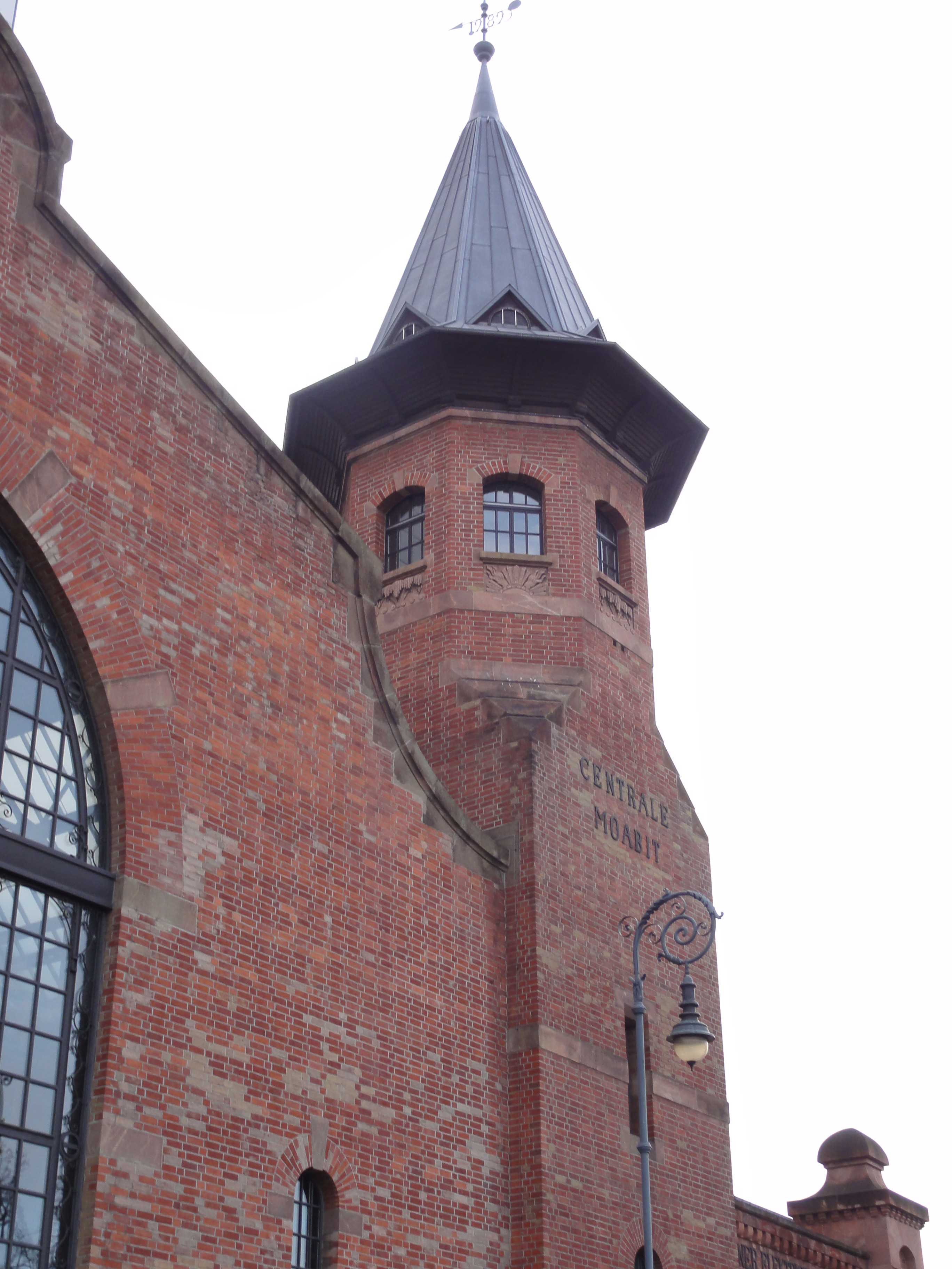
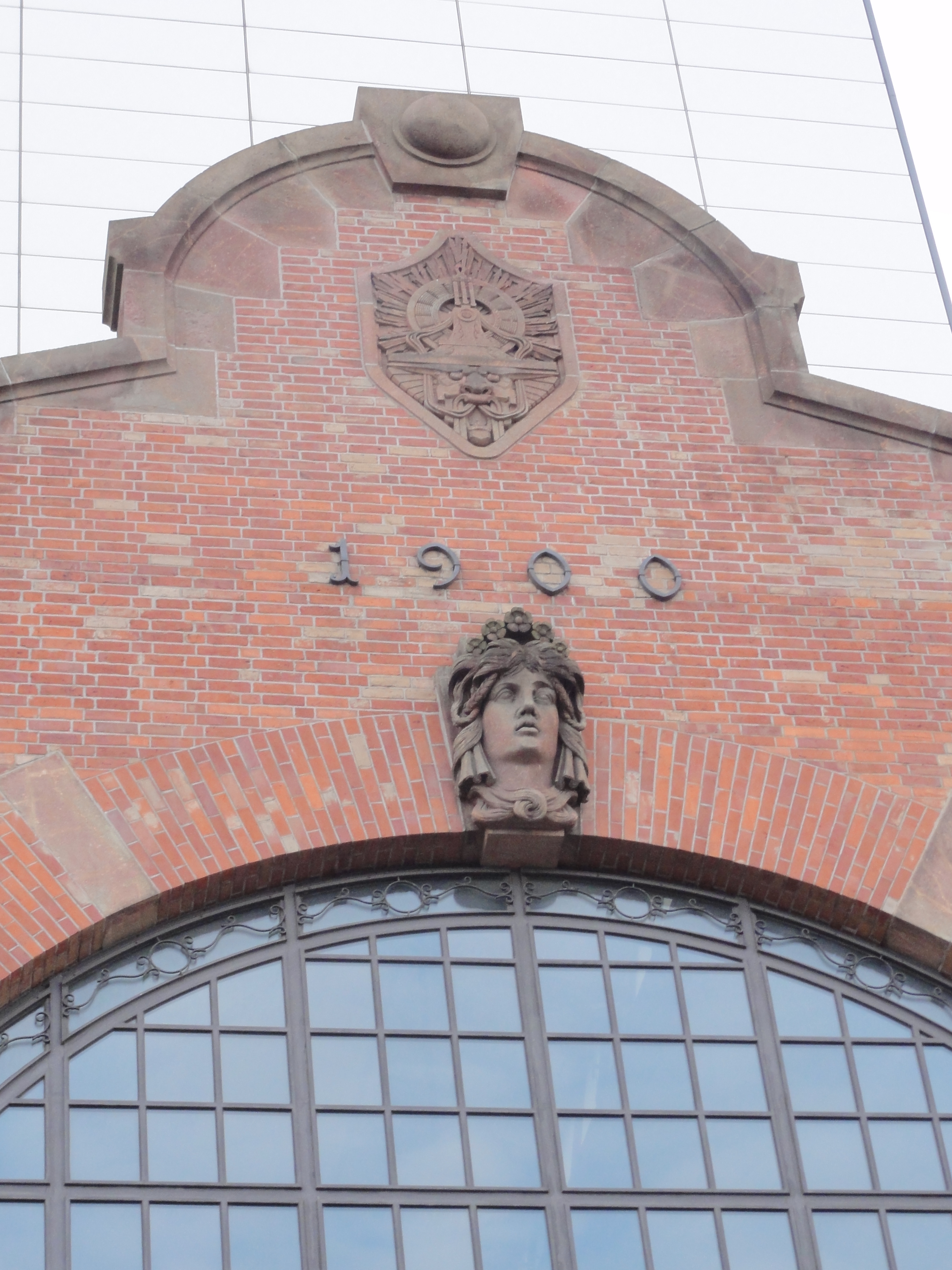
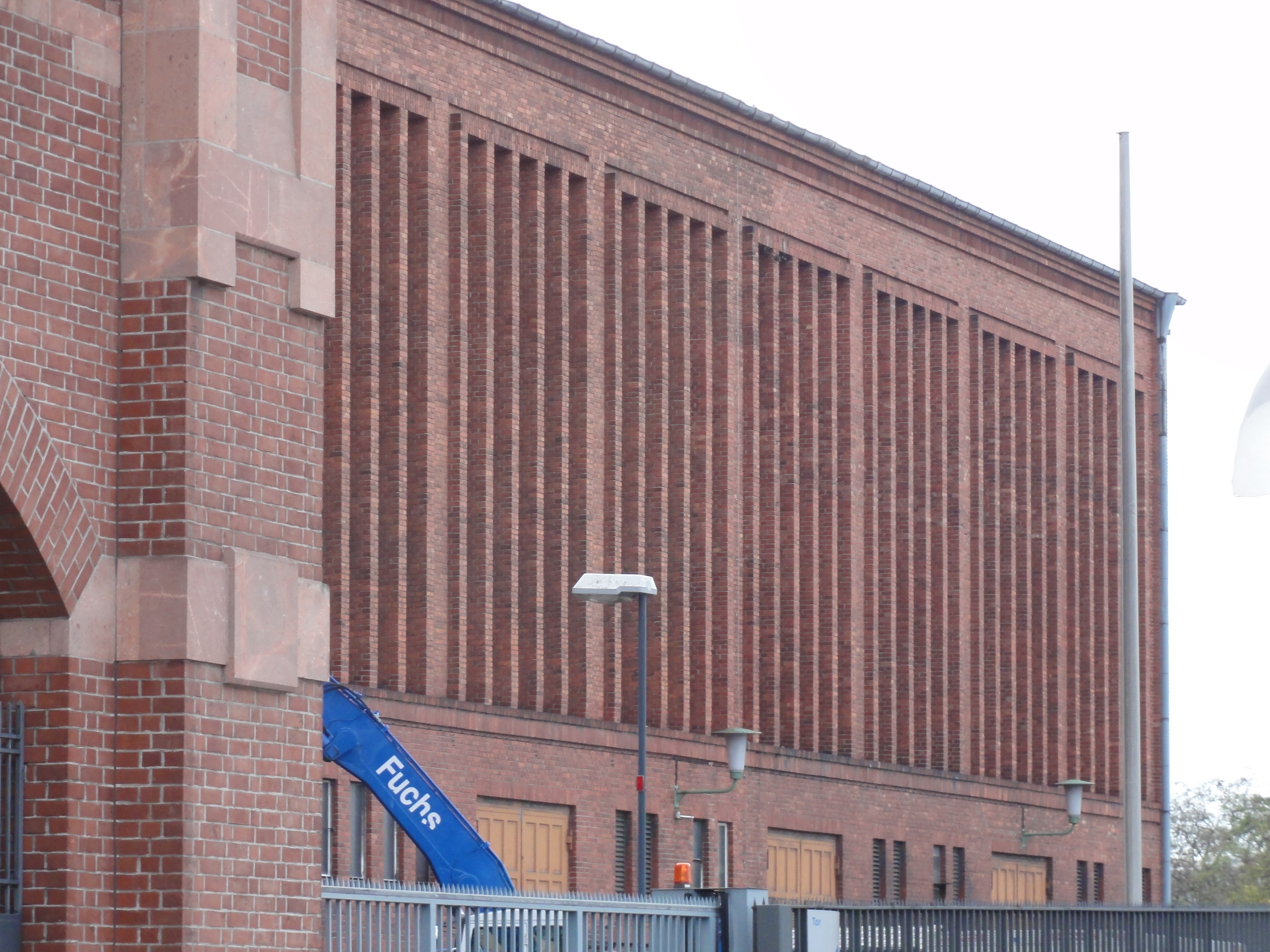
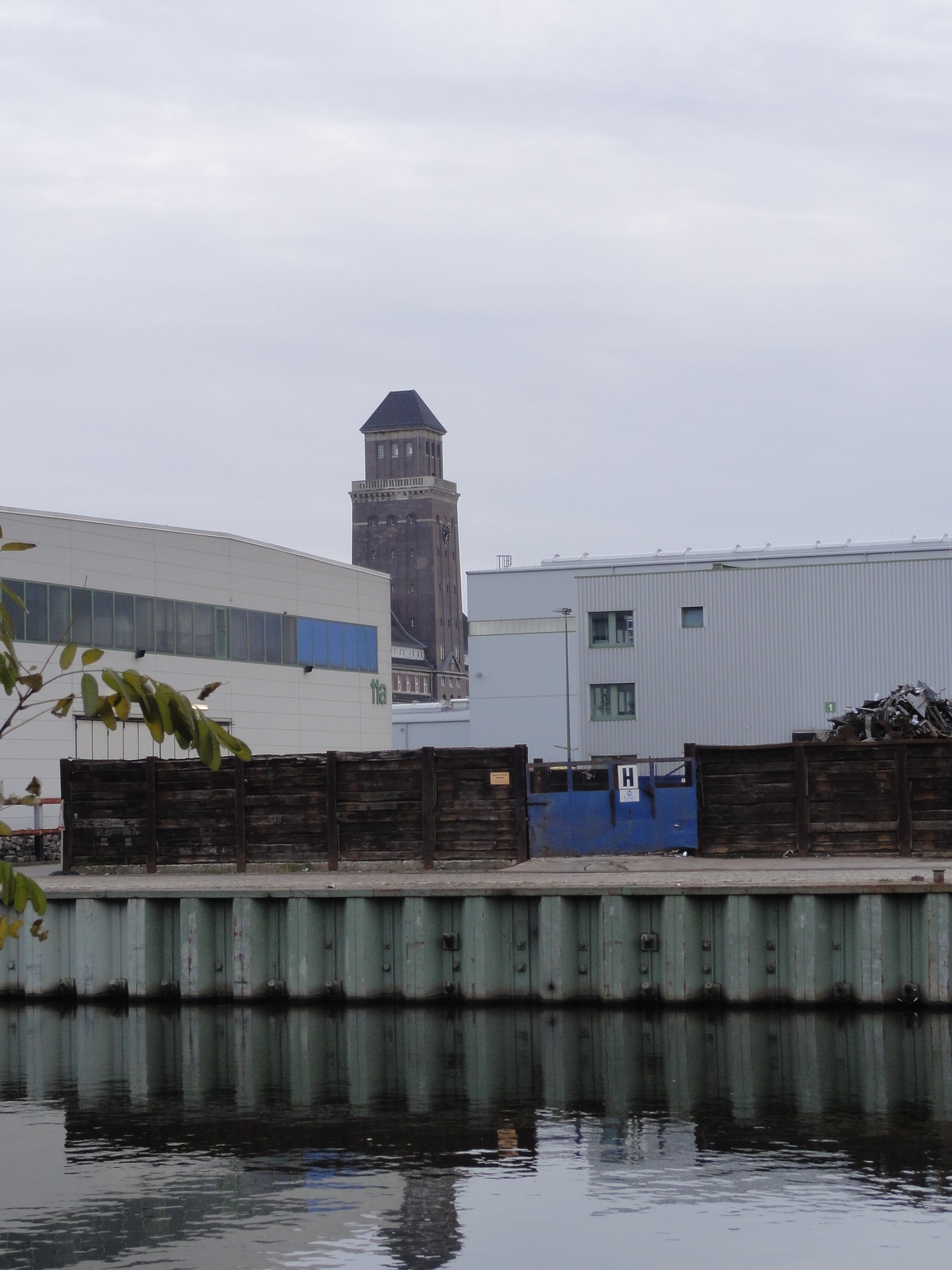
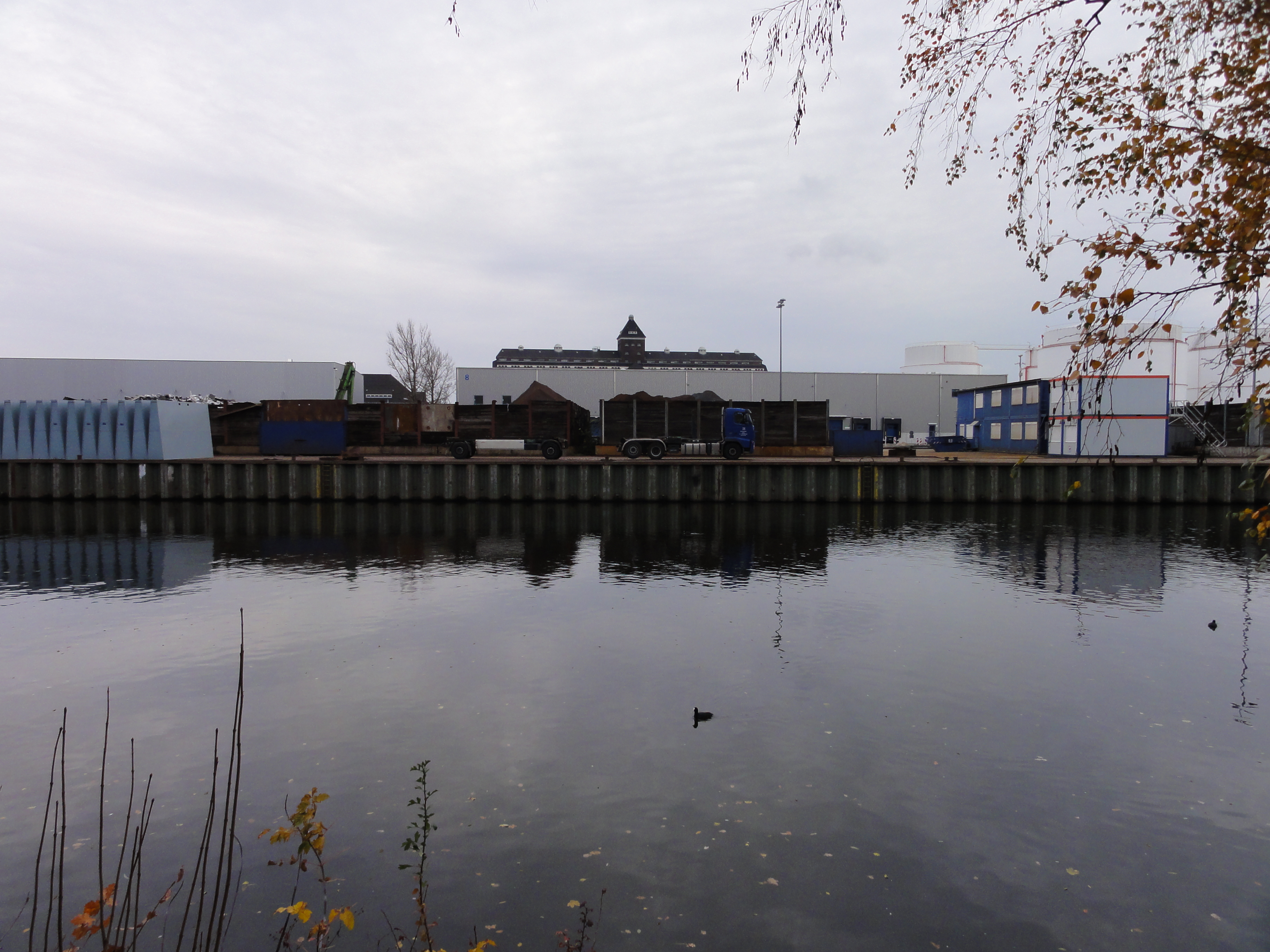
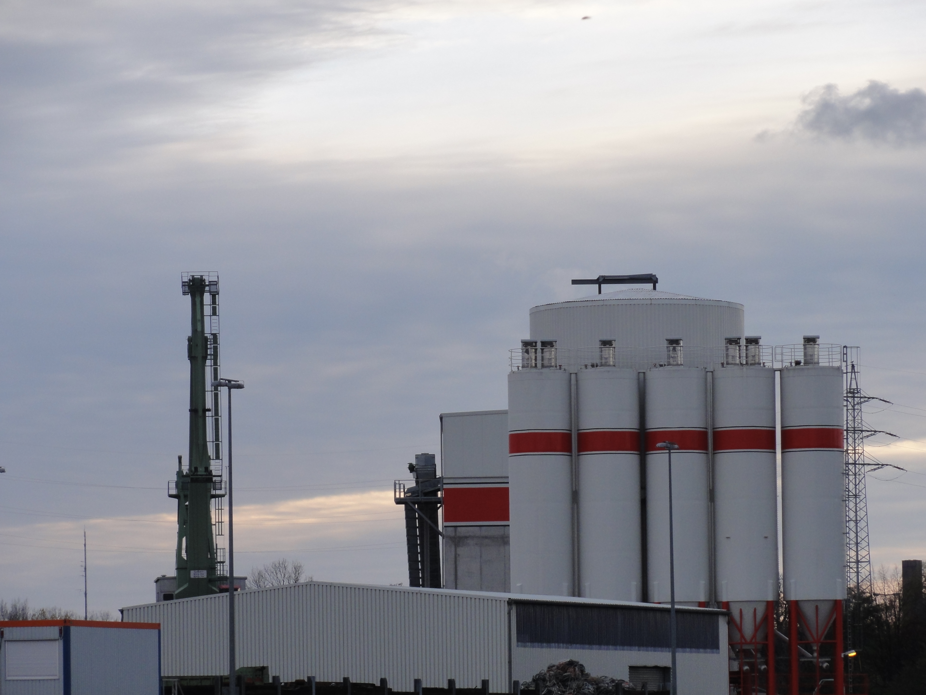
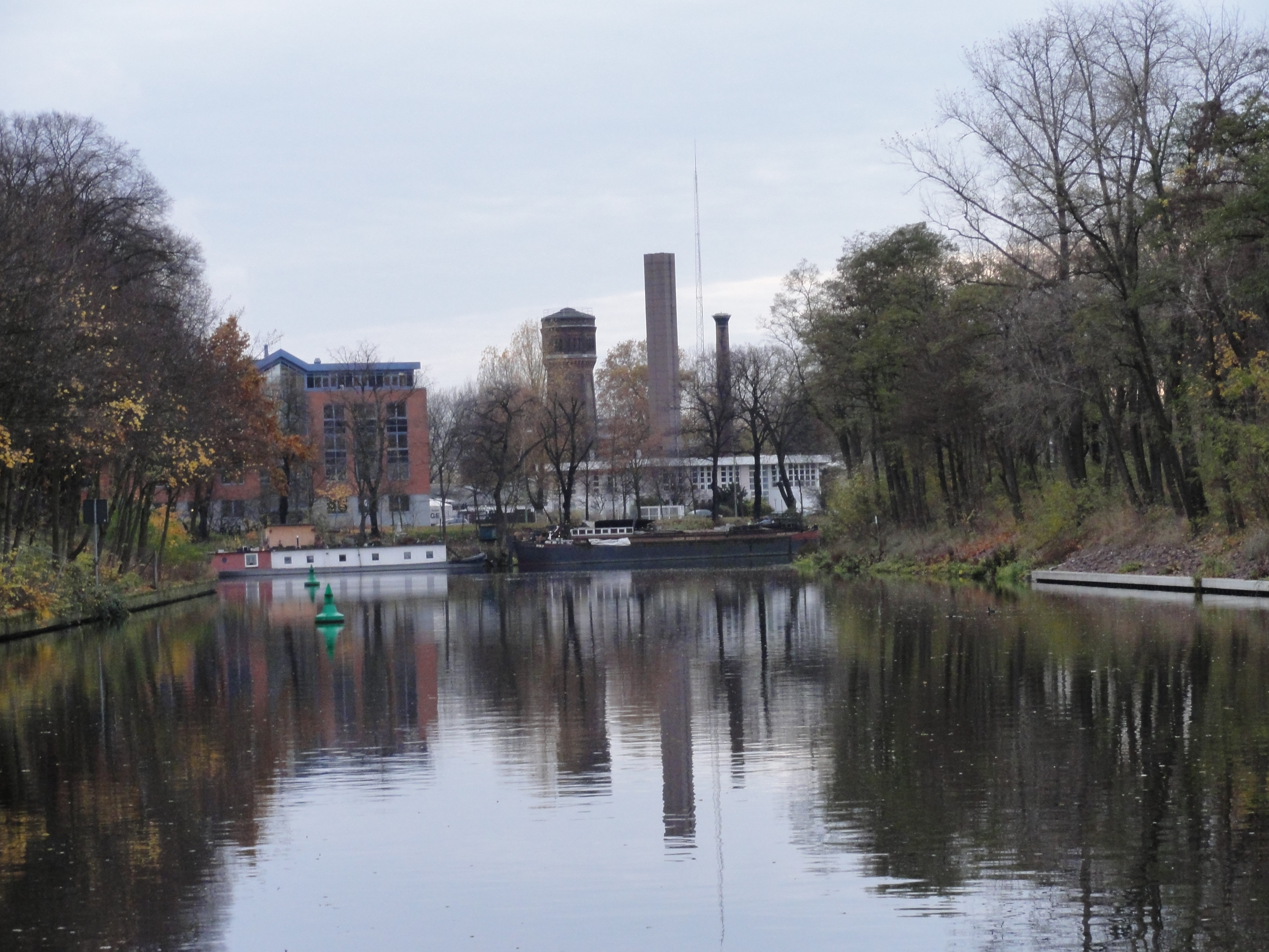
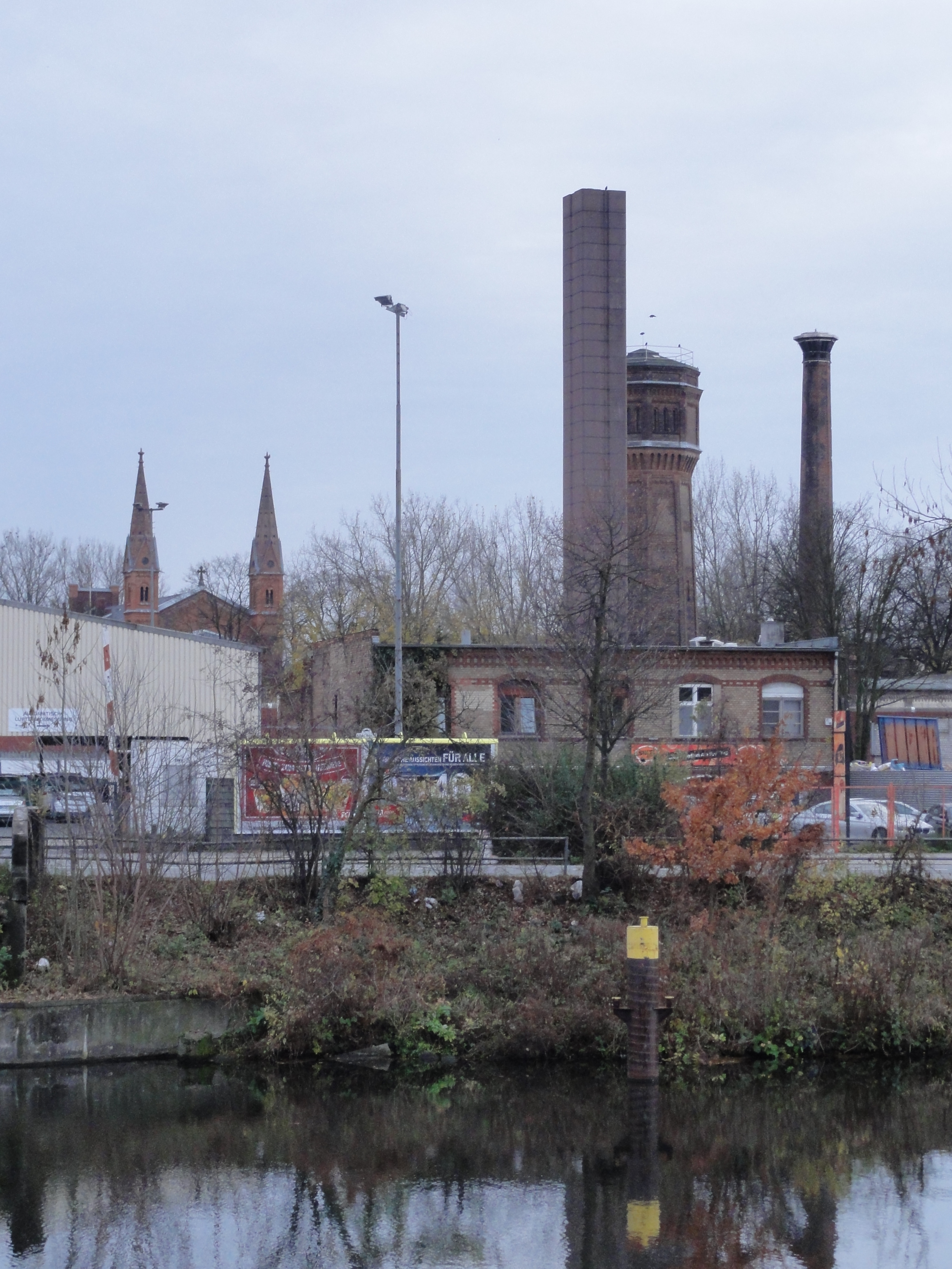
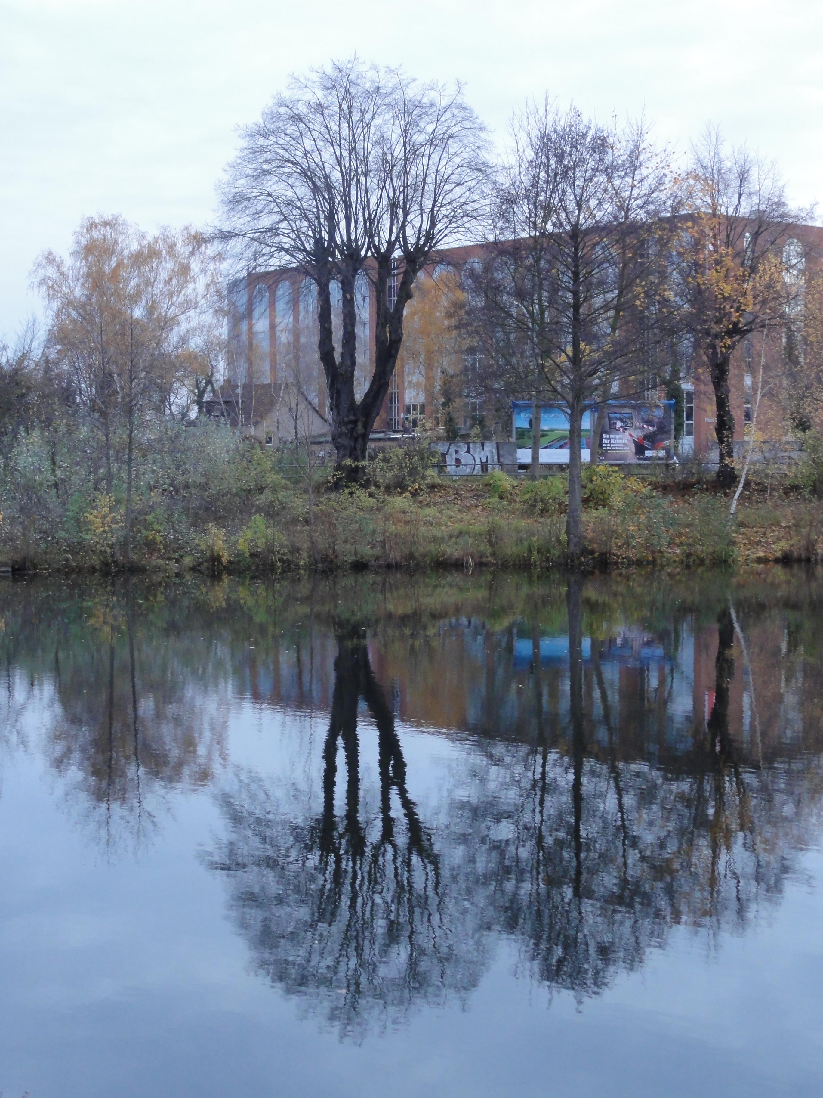
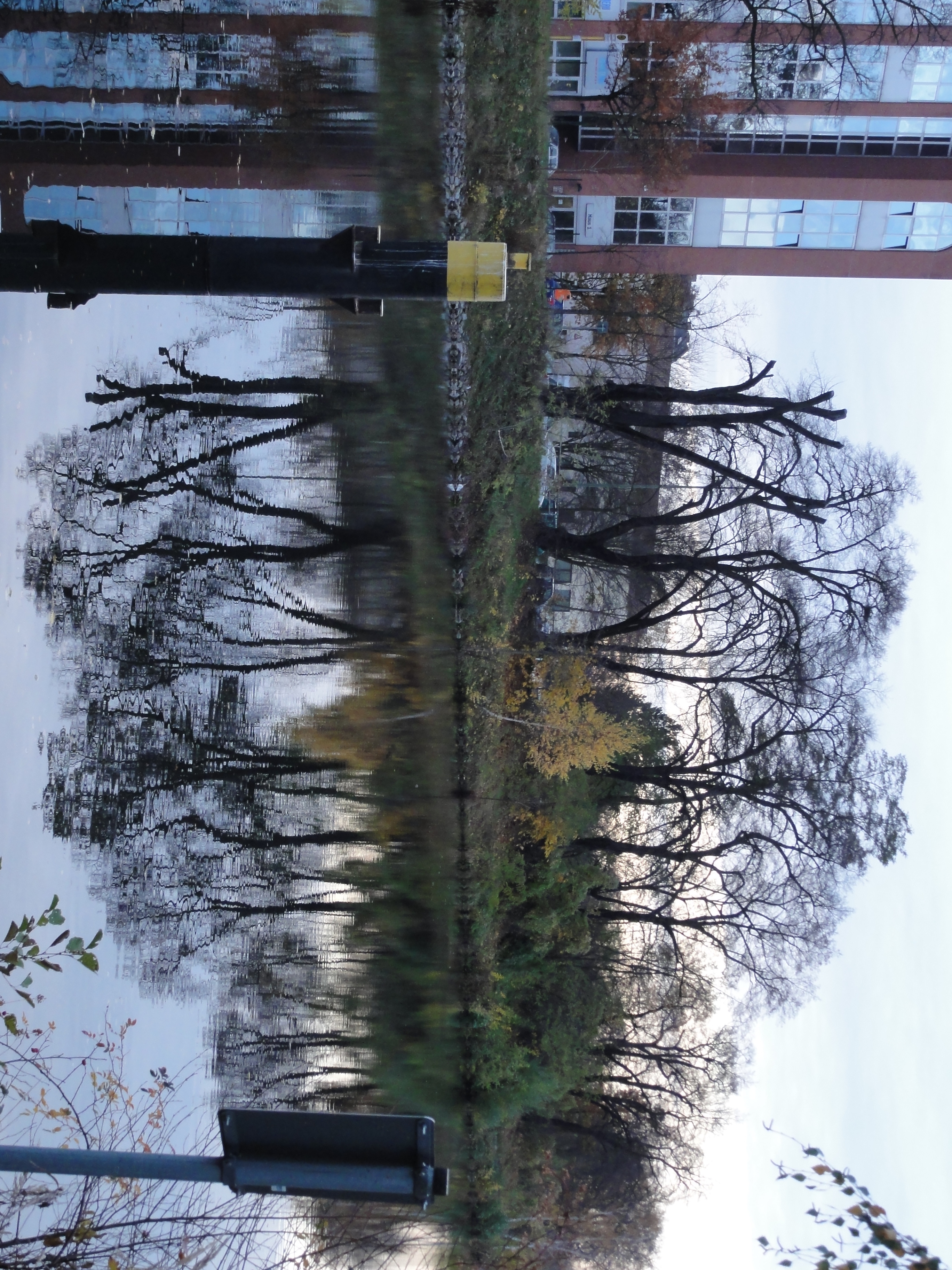
Now we reach the a coal-based power station "Centrale Moabit".
I personally had no probelms to feelt at home in Berlin, because it
is very similar to the Ruhrgebiet: This sharp contrast between
the ruins of industry, re-conquered by nature, tres-chique pseudo-culture
and poverty, lost places and forgotten niches for private idylls,
power stations and hospitals which want to look
like medieval castles, and every hundred meters a totally new world!
These facets are common to both regions!
So admire this medieval power plant:
|
|
2010:11:07 16:01:37
---
52 deg 32' 13.12" N, 13 deg 21' 39.98" E
240.75
°
©
ml
|
|
|
2010:11:07 16:04:16
---
52 deg 32' 17.57" N, 13 deg 20' 57.10" E
255.25
°
©
ml
|
|
2010:11:07 16:05:43
---
52 deg 32' 15.02" N, 13 deg 20' 53.78" E
 330
°
©
ml
330
°
©
ml
|
|
|
2010:11:07 16:06:58
---
52 deg 32' 16.22" N, 13 deg 20' 50.50" E
162
°
©
ml
|
|
|
2010:11:07 16:07:12
---
52 deg 32' 17.18" N, 13 deg 20' 50.77" E
167
°
©
ml
|
|
2010:11:07 16:09:46
---
52 deg 32' 16.58" N, 13 deg 20' 45.38" E
 124.75
°
©
ml
124.75
°
©
ml
|
|
|
2010:11:07 16:10:04
---
52 deg 32' 17.11" N, 13 deg 20' 46.07" E
103
°
©
ml
|
|
|
2010:11:07 16:04:27
---
52 deg 32' 18.04" N, 13 deg 20' 57.41" E
227.5
°
©
ml
|
|
|
2010:11:07 16:07:56
---
52 deg 32' 17.09" N, 13 deg 20' 48.62" E
269.5
°
©
ml
|
|
|
2010:11:07 16:08:43
---
52 deg 32' 17.87" N, 13 deg 20' 46.43" E
226.25
°
©
ml
|
|
|
2010:11:07 16:09:20
---
52 deg 32' 16.63" N, 13 deg 20' 44.89" E
178.75
°
©
ml
|
|
2010:11:07 16:10:25
---
52 deg 32' 16.71" N, 13 deg 20' 45.62" E
 197
°
©
ml
197
°
©
ml
|
|
|
2010:11:07 16:10:48
---
52 deg 32' 17.56" N, 13 deg 20' 46.29" E
247.25
°
©
ml
|
counter shot:
|
|
2010:11:07 16:04:57
---
52 deg 32' 17.32" N, 13 deg 20' 56.19" E
290
°
©
ml
|
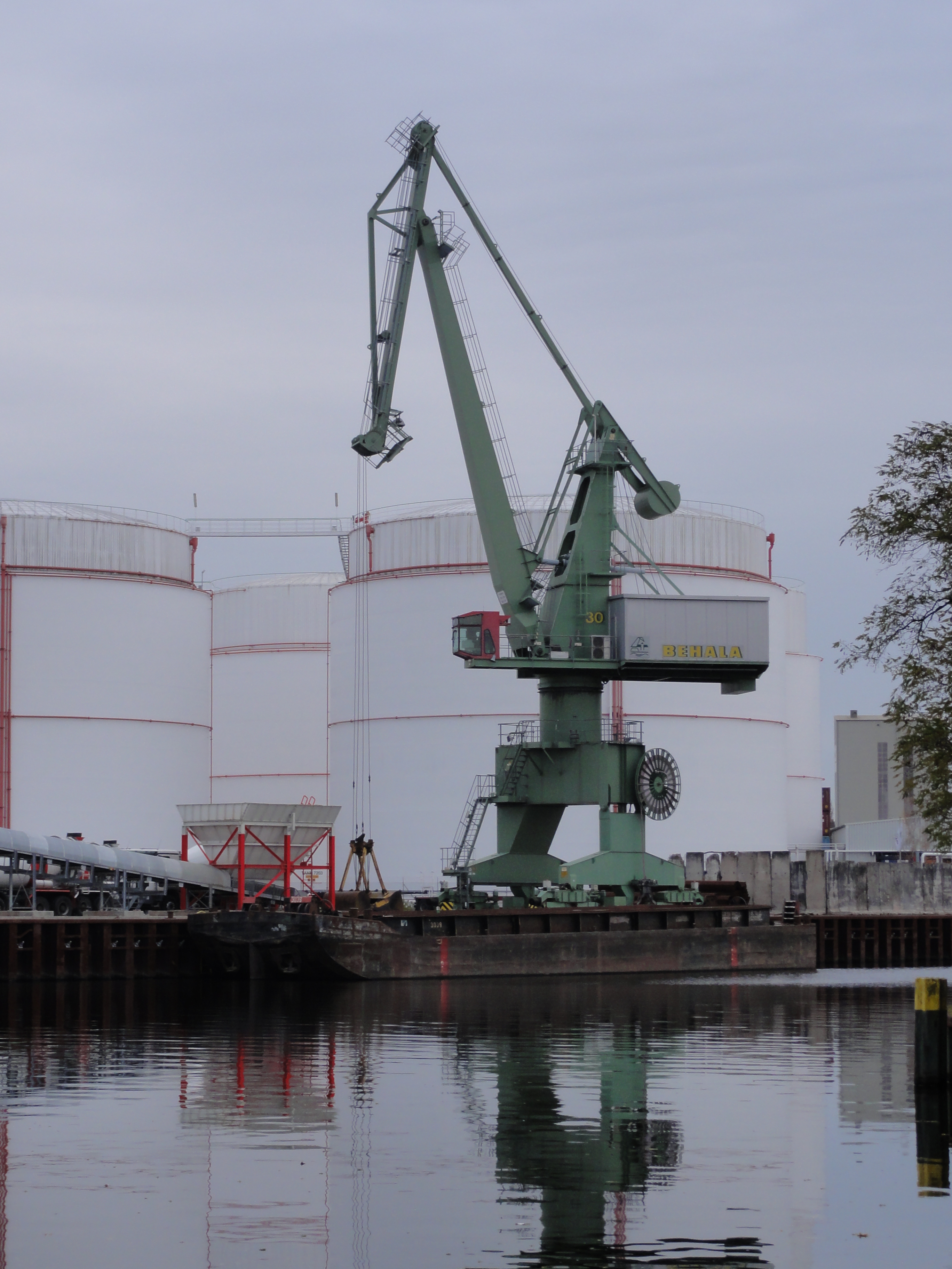
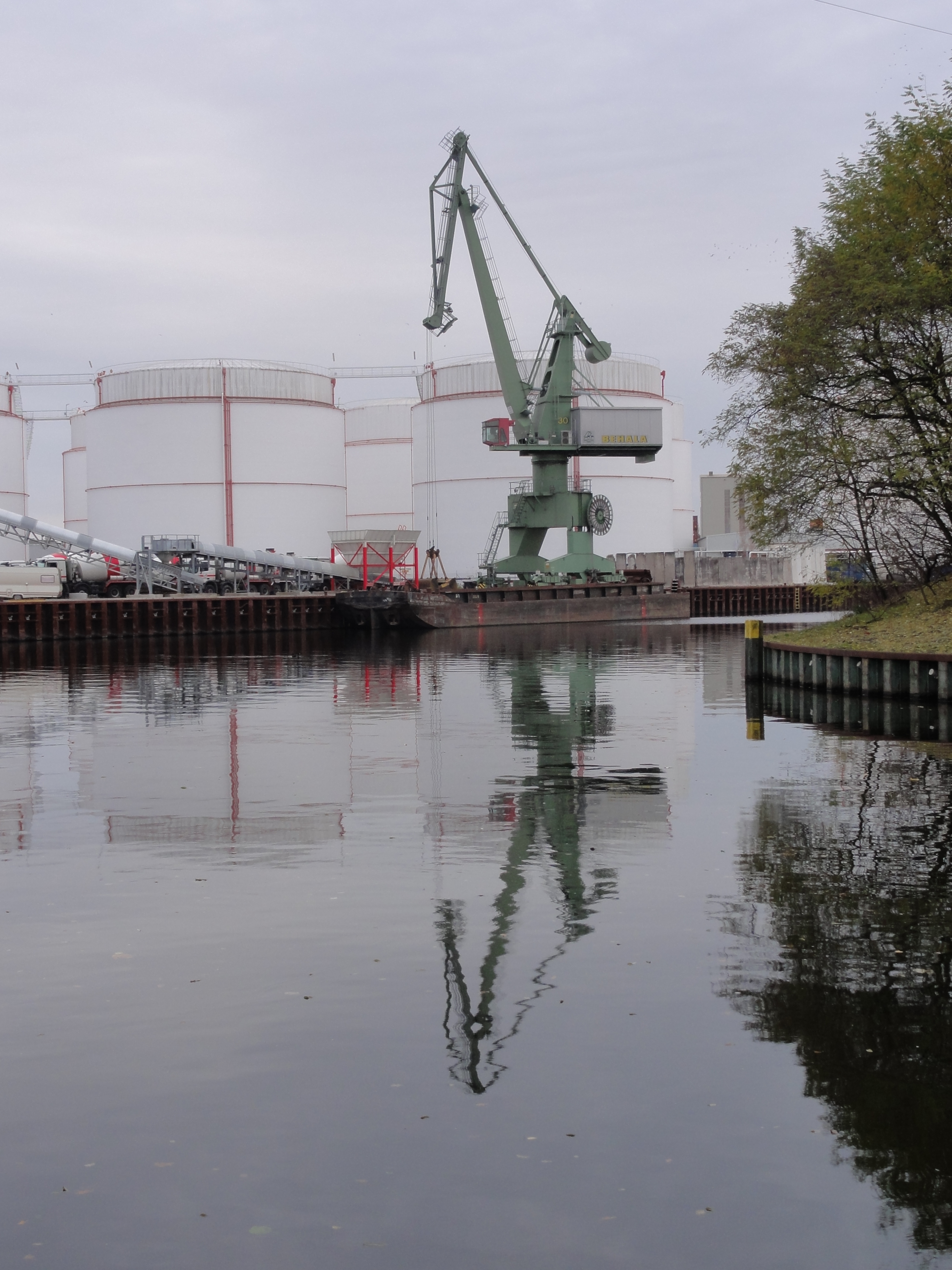
At the Föhrer-Straße you have to cross back to the eastern banks, which are now more correctly called the "northern". On the southern side there is the "WESTHAFEN":
|
|
2010:11:07 16:20:45
---
52 deg 32' 22.70" N, 13 deg 20' 22.55" E
99.25
°
©
ml
|
|
|
2010:11:07 16:21:07
---
52 deg 32' 22.75" N, 13 deg 20' 22.65" E
168.75
°
©
ml
|
|
|
2010:11:07 16:20:55
---
52 deg 32' 22.69" N, 13 deg 20' 22.54" E
201.75
°
©
ml
|
|
|
2010:11:07 16:24:32
---
52 deg 32' 24.36" N, 13 deg 20' 16.74" E
213
°
©
ml
|
|
|
2010:11:07 16:24:18
---
52 deg 32' 25.06" N, 13 deg 20' 17.95" E
212.25
°
©
ml
|
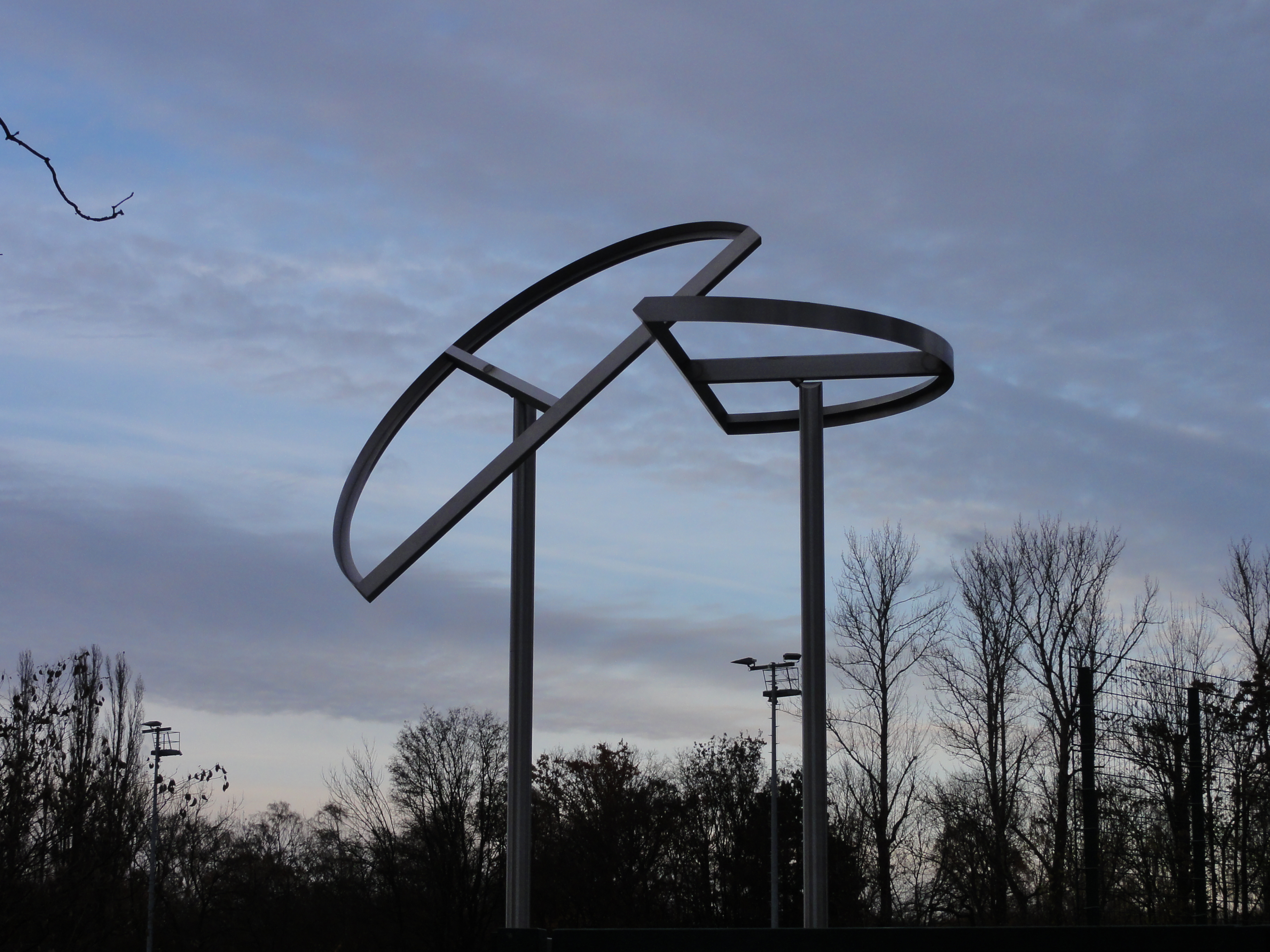
These are two works for the planned series "blue and yellow":
|
|
2010:11:07 16:21:25
---
52 deg 32' 23.00" N, 13 deg 20' 22.07" E
215.5
°
©
ml
|
|
|
2010:11:07 16:21:39
---
52 deg 32' 23.08" N, 13 deg 20' 21.65" E
280.75
°
©
ml
|
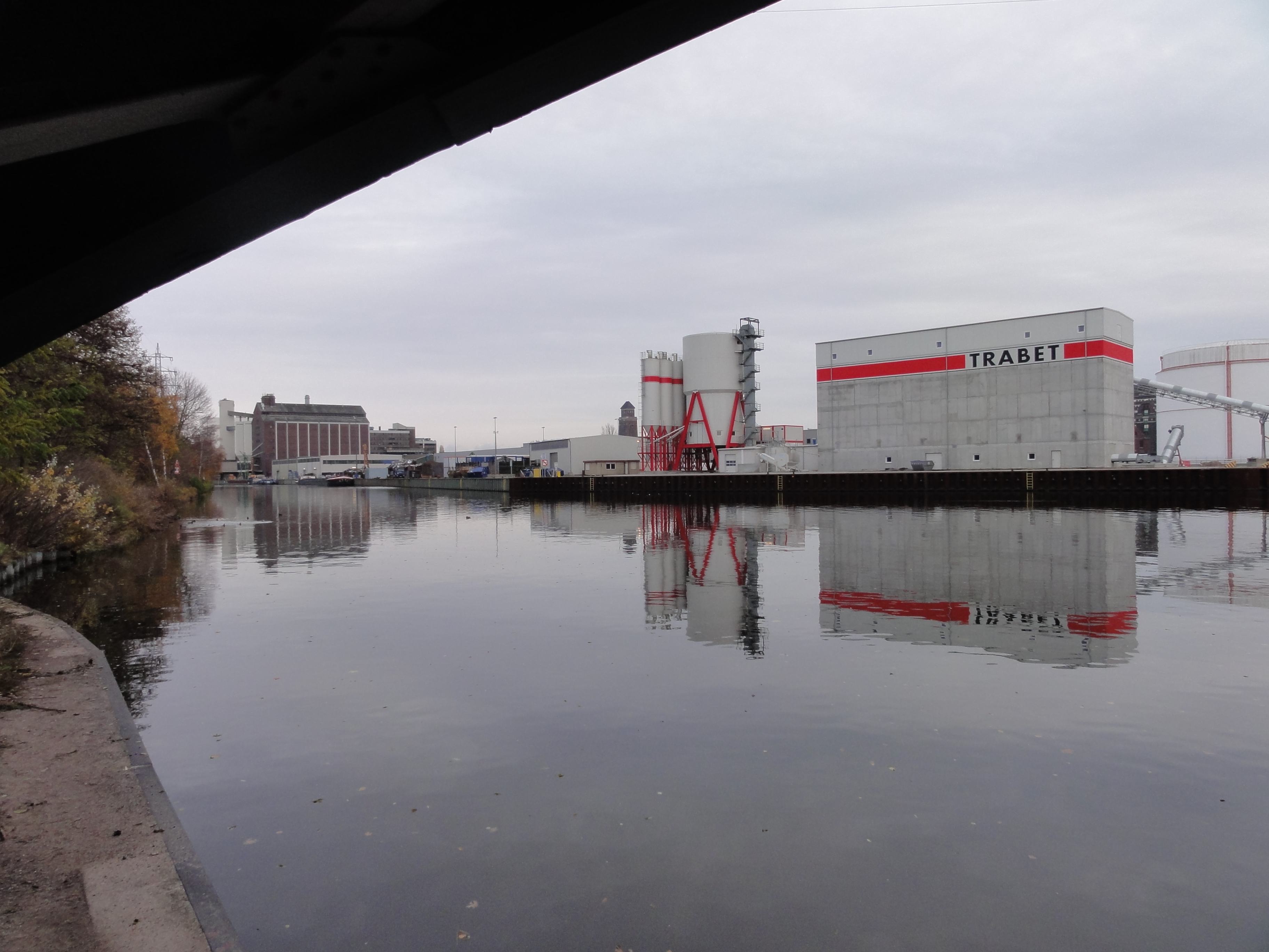
And here some "red and white", which is also always very pretty:
|
|
2010:11:07 16:22:06
---
52 deg 32' 22.86" N, 13 deg 20' 21.62" E
263.25
°
©
ml
|
|
|
2010:11:07 16:30:13
---
52 deg 32' 26.82" N, 13 deg 20' 5.81" E
271
°
©
ml
|
|
|
2010:11:07 16:30:36
---
52 deg 32' 23.20" N, 13 deg 20' 8.48" E
275.5
°
©
ml
|
|
|
2010:11:07 16:29:13
---
52 deg 32' 26.77" N, 13 deg 20' 5.76" E
257.5
°
©
ml
|
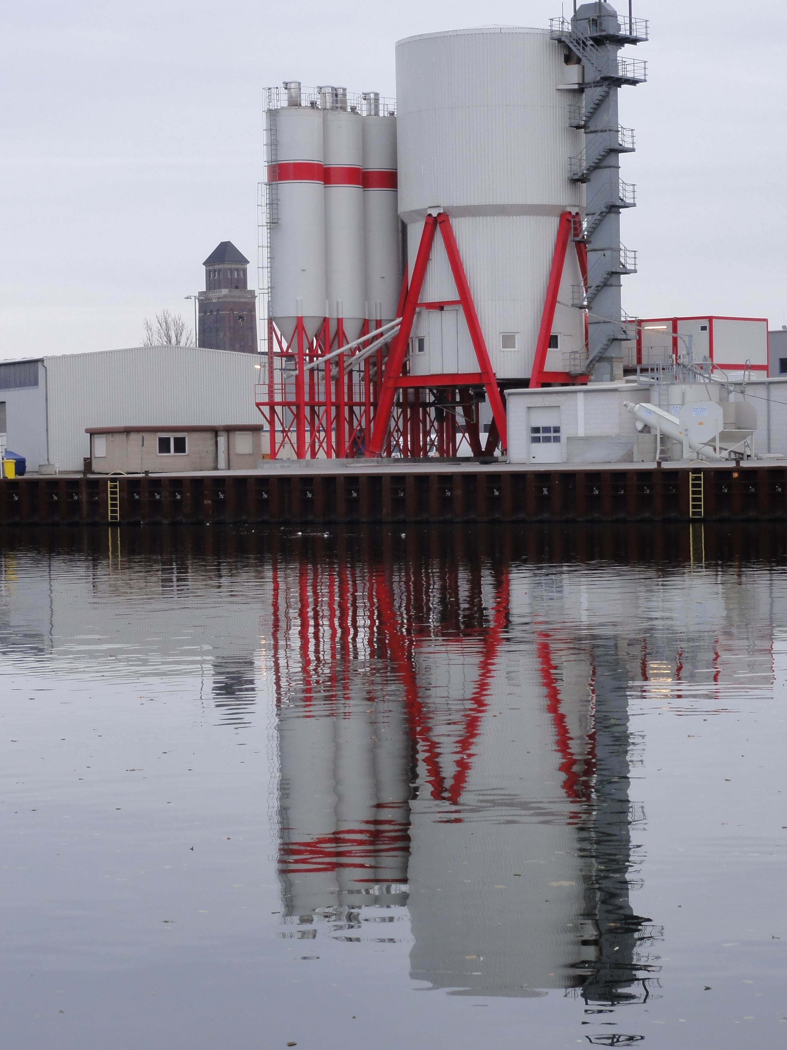
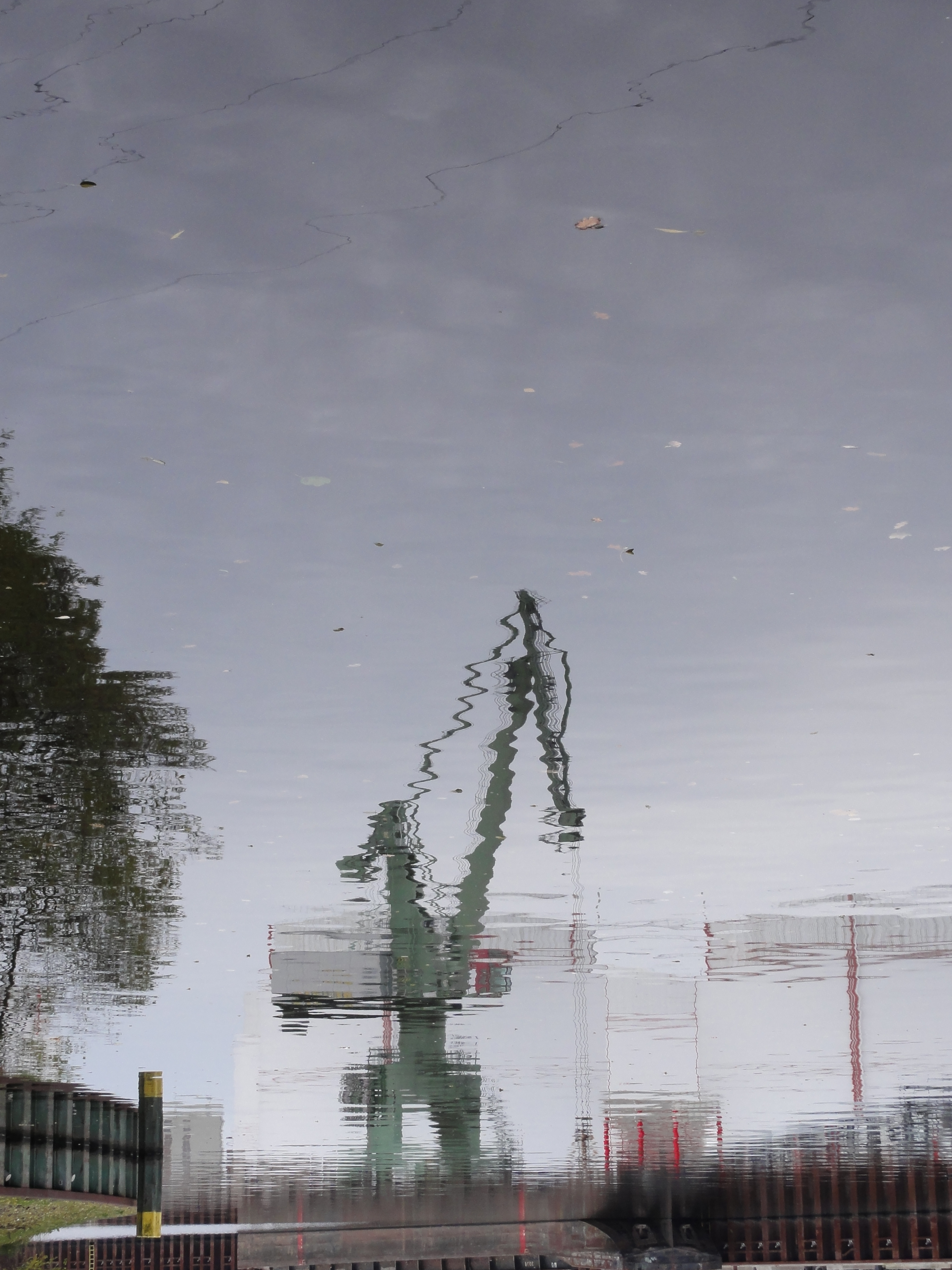
some nice mirroring
|
|
2010:11:07 16:26:55
---
52 deg 32' 26.10" N, 13 deg 20' 9.16" E
228.25
°
©
ml
|
|
|
2010:11:07 16:27:08
---
52 deg 32' 26.40" N, 13 deg 20' 8.92" E
236.25
°
©
ml
|
|
|
2010:11:07 16:31:02
---
52 deg 32' 22.95" N, 13 deg 20' 7.97" E
175.5
°
©
ml
|
|
|
2010:11:07 16:30:42
---
52 deg 32' 22.68" N, 13 deg 20' 7.37" E
284
°
©
ml
|
|
|
2010:11:07 16:31:16
---
52 deg 32' 23.20" N, 13 deg 20' 10.40" E
246.25
°
©
ml
|
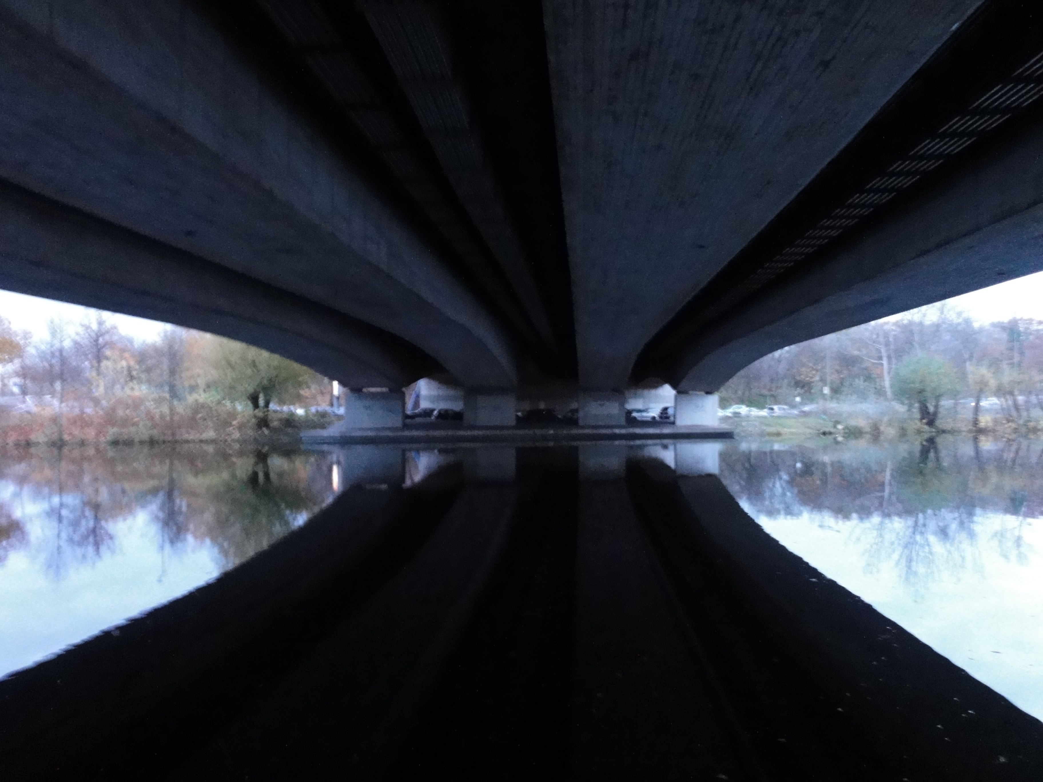
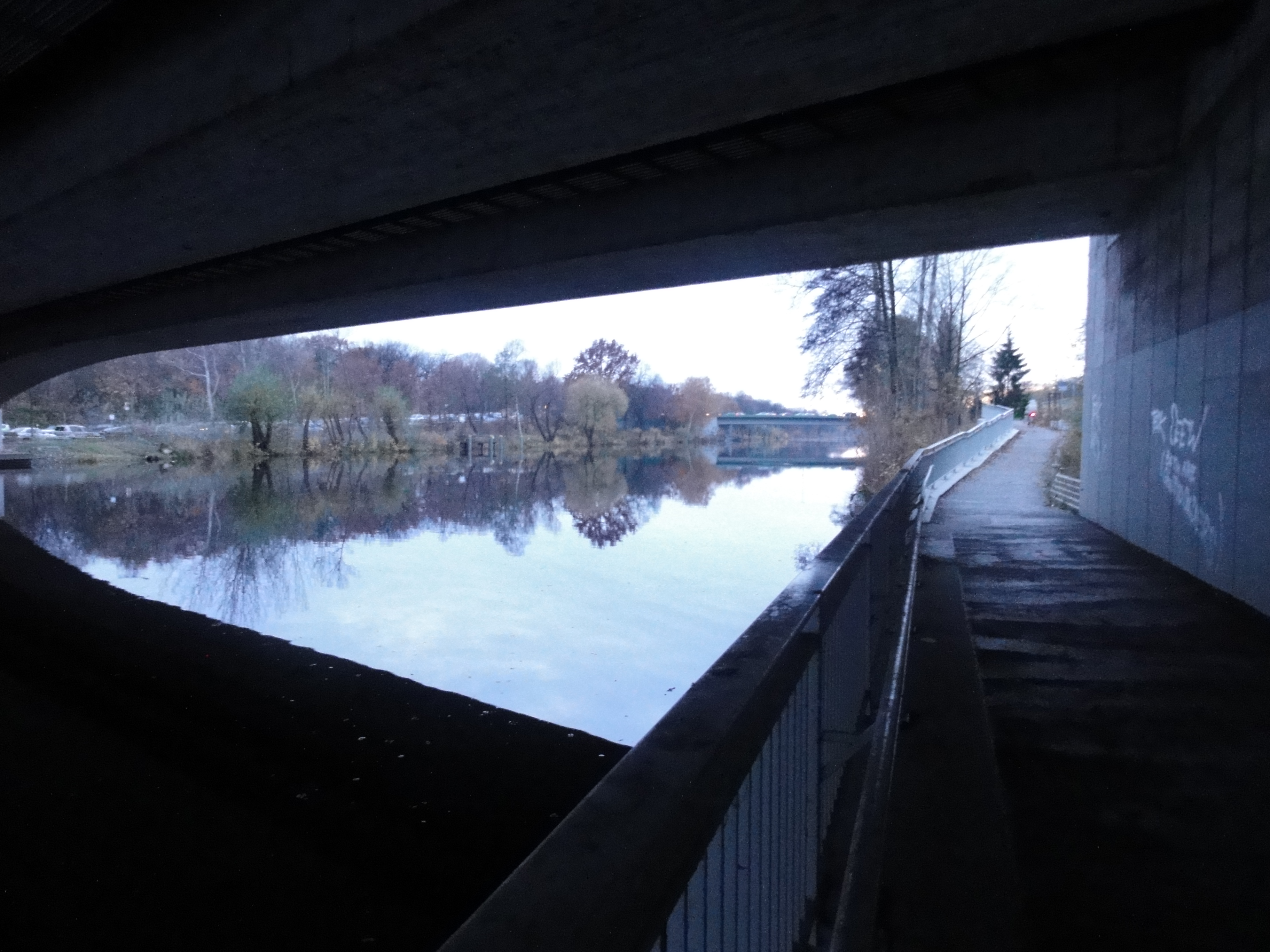
This is below the "north seestraßen bridge". When I lived in MOABIT (o yeah, I really did!) this was one of my favourite places for sitting and thinking, because it has a kind of tiny sand beach !!
|
|
2010:11:07 16:31:22
---
52 deg 32' 22.37" N, 13 deg 20' 12.43" E
166
°
©
ml
|
|
|
2010:11:07 16:32:19
---
52 deg 32' 22.37" N, 13 deg 20' 12.43" E
239
°
©
ml
|
|
|
2010:11:07 16:32:43
---
52 deg 32' 22.37" N, 13 deg 20' 12.43" E
267.5
°
©
ml
|
|
|
2010:11:07 16:32:02
---
52 deg 32' 22.37" N, 13 deg 20' 12.43" E
238
°
©
ml
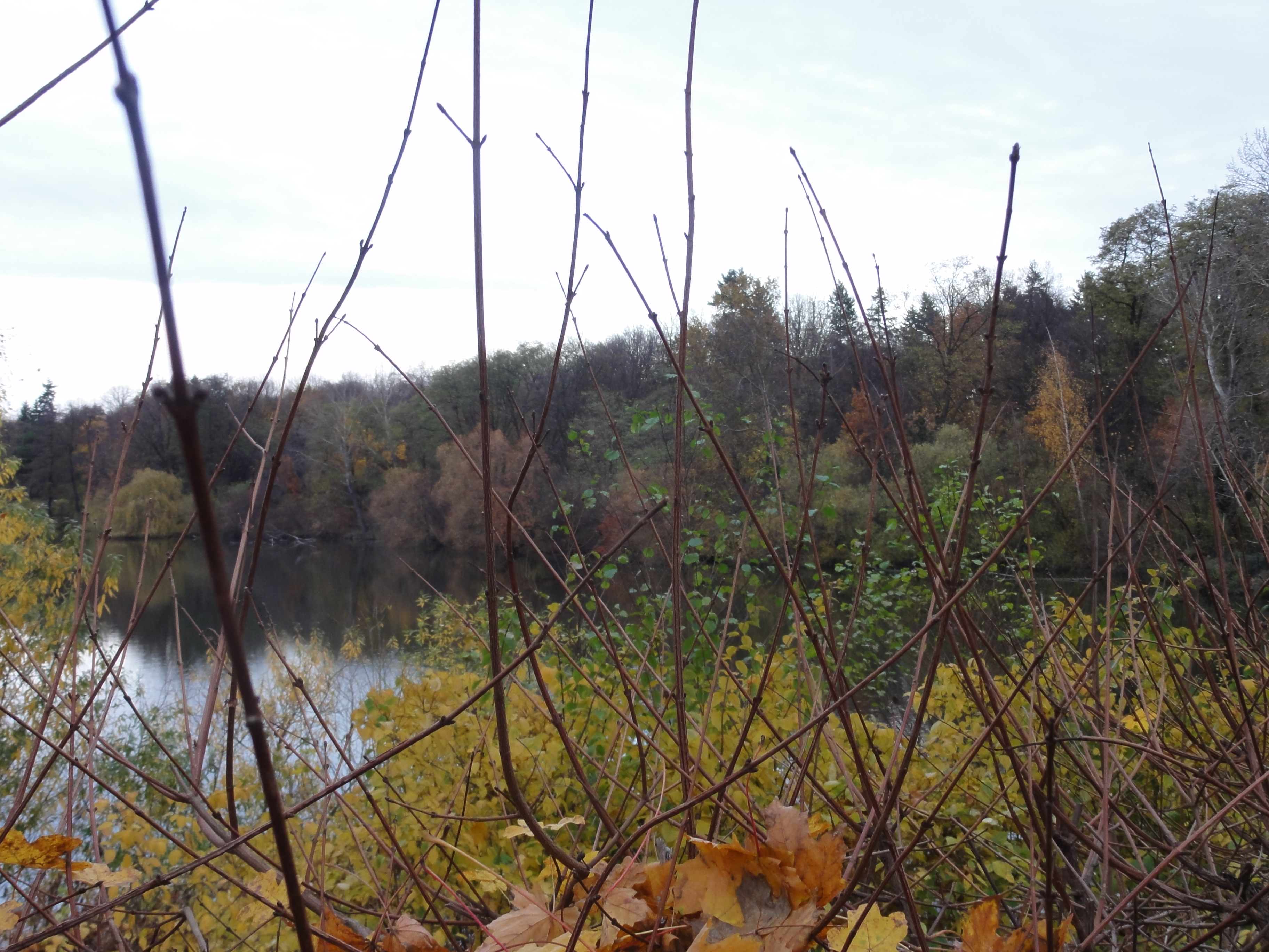
|
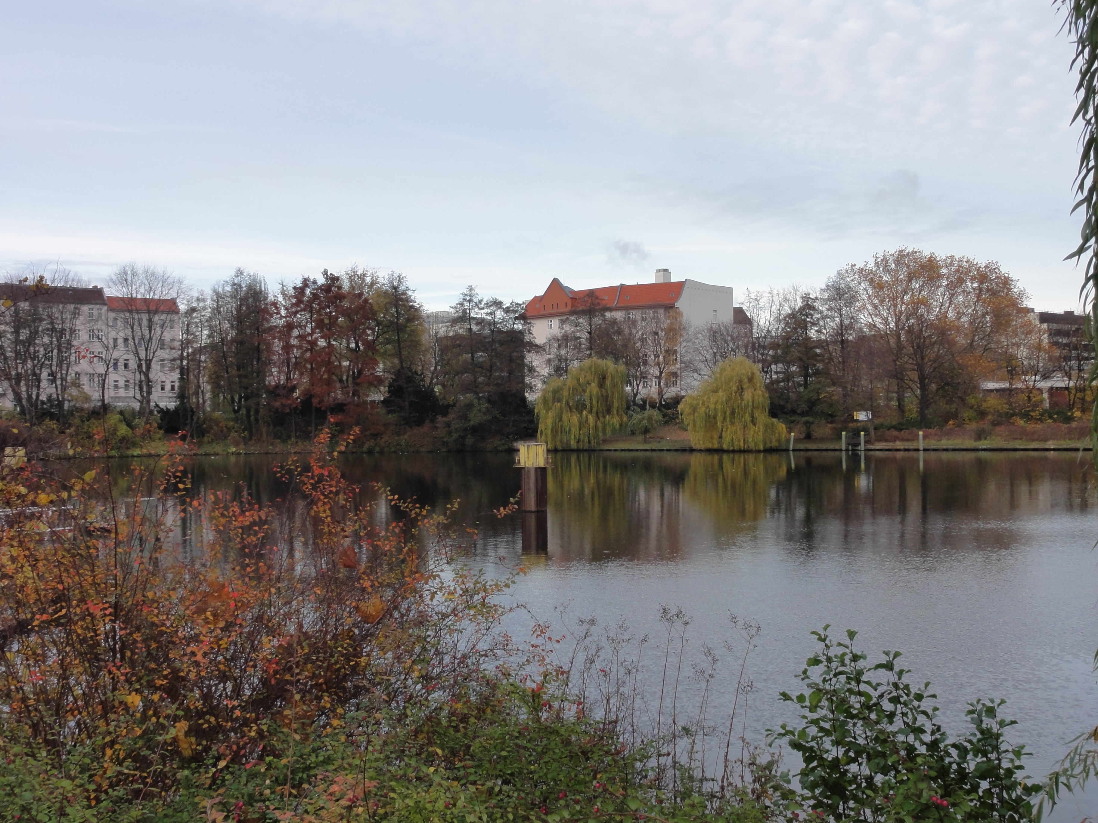
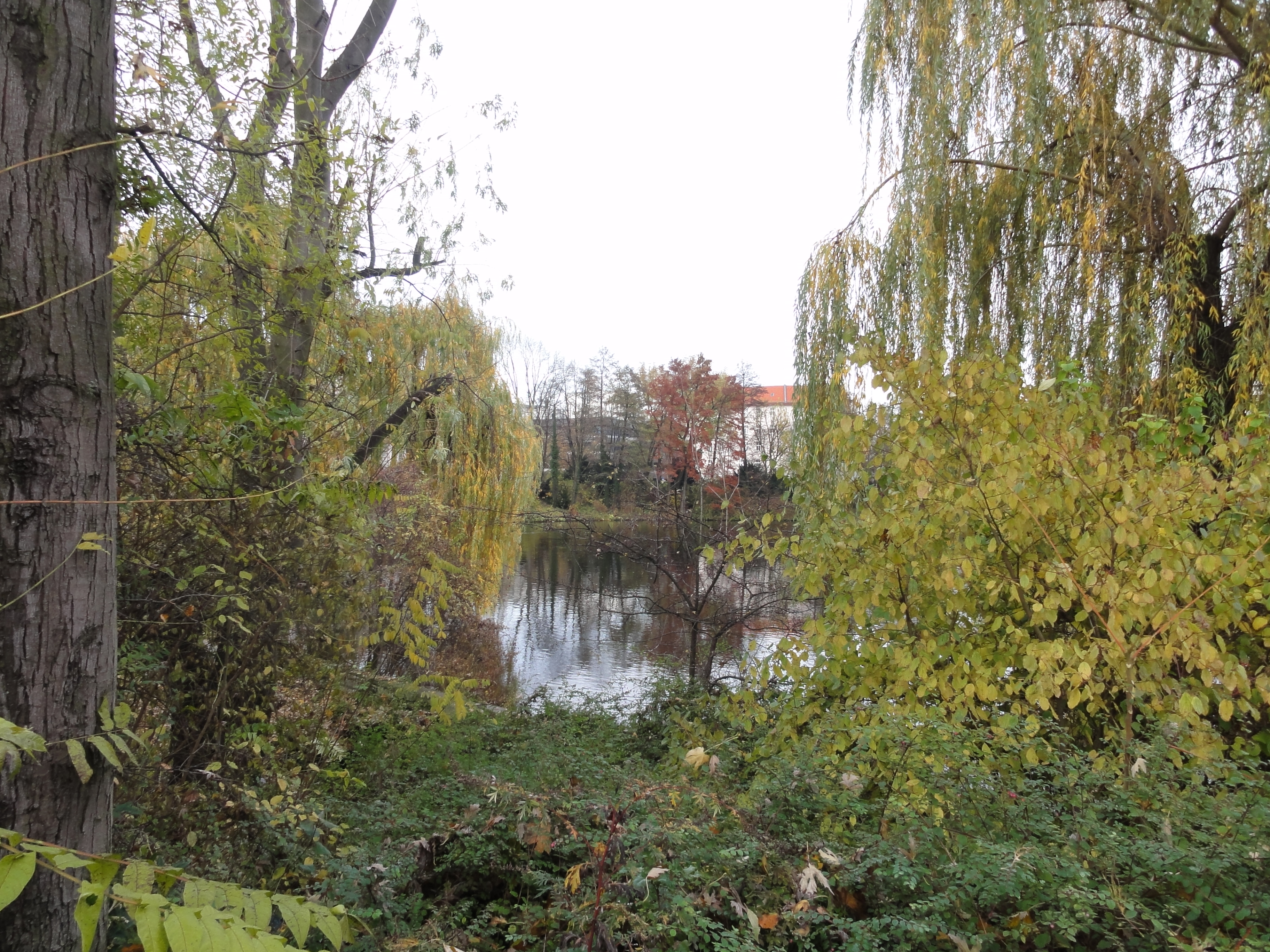
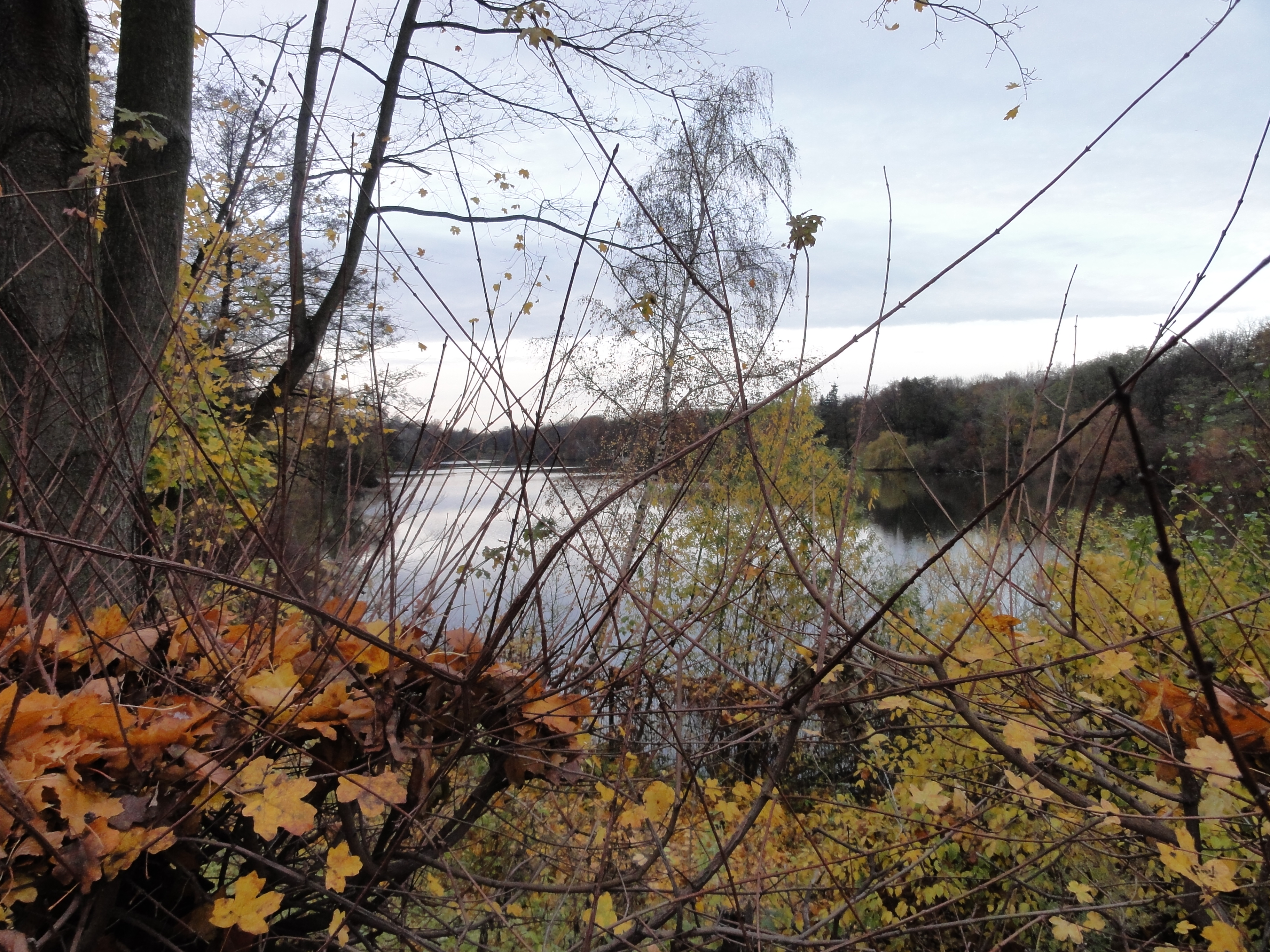
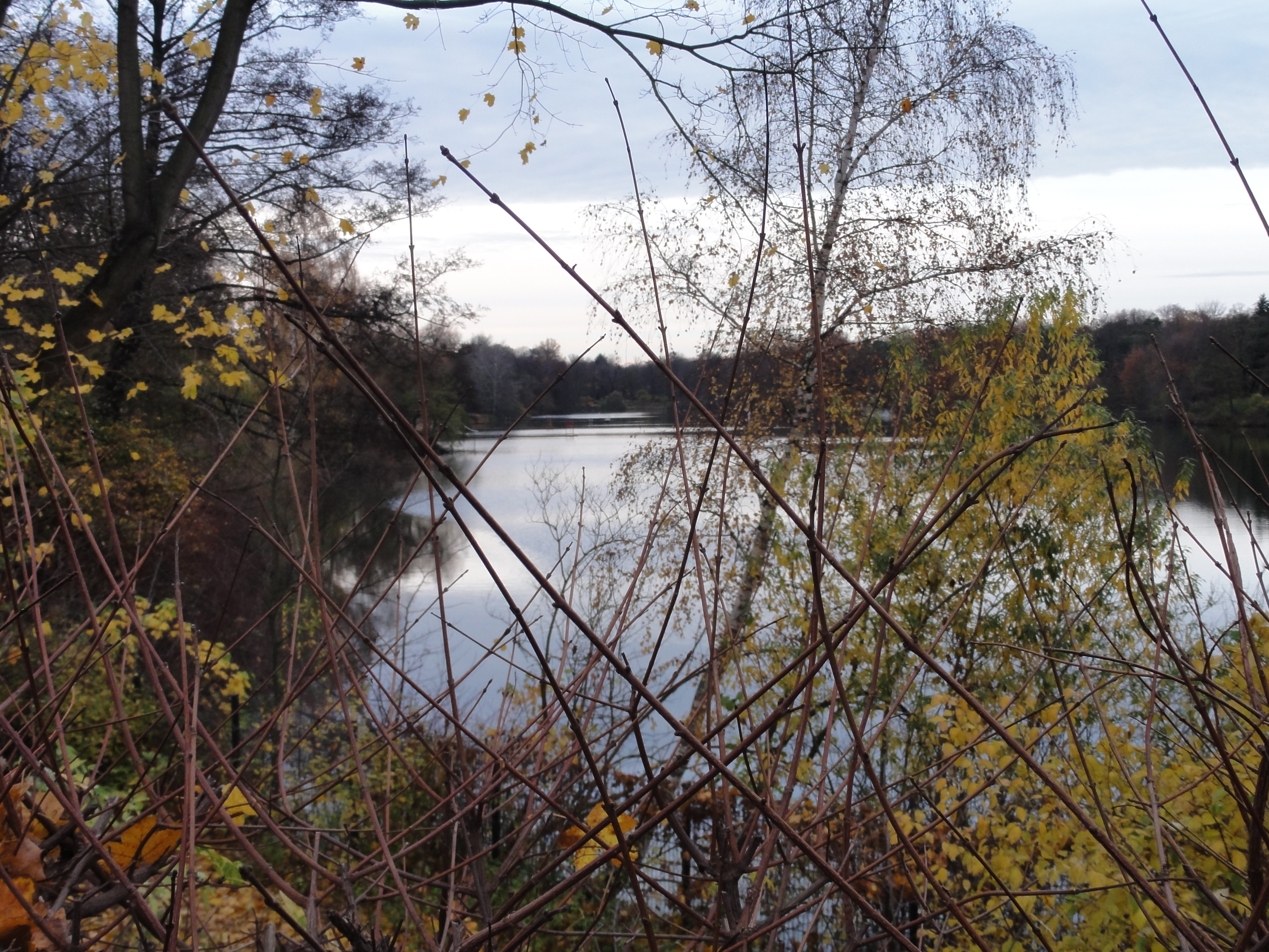
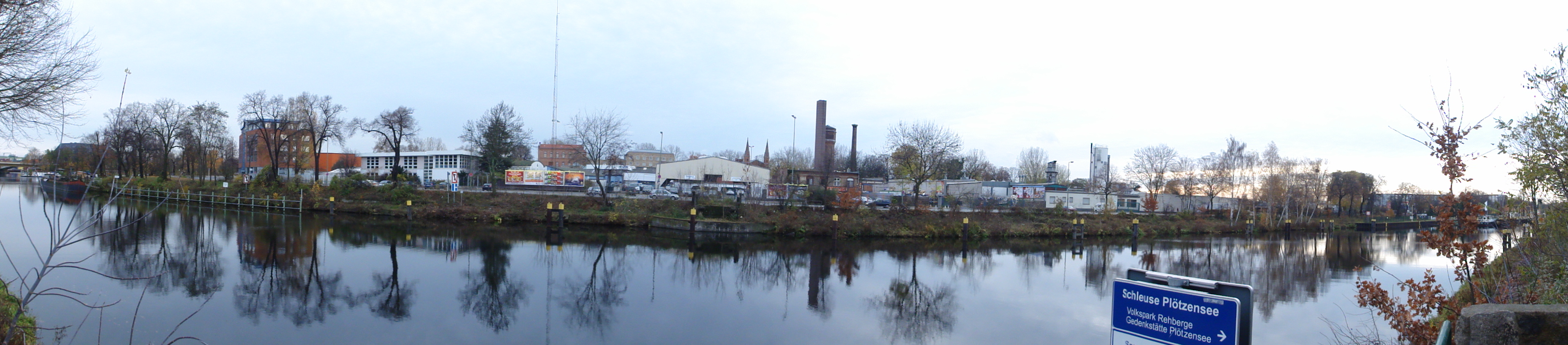
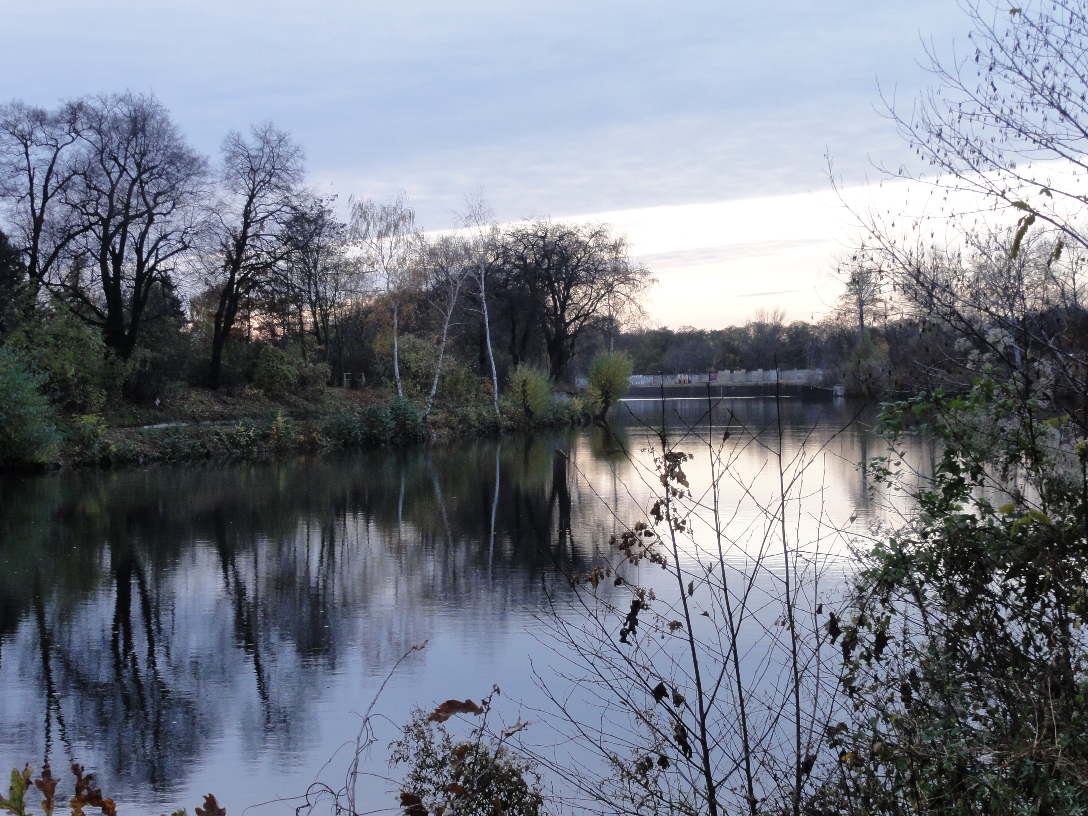
This is PLÖTZENSEE where the Nazis killed the 17th-of-june guys and a lot more brave people, and where now the poorest of the poor are imprisoned, which dare to take public transport without paying. The difference is: nowadays they don't get killed and not into a KZ. How far we've got !!
|
|
2010:11:07 16:32:10
---
52 deg 32' 22.37" N, 13 deg 20' 12.43" E
238
°
©
ml
|
|
|
2010:11:07 16:45:55
---
52 deg 32' 30.94" N, 13 deg 19' 34.39" E
230
°
©
ml
|
The in-famous Plötzensee, but what a lovely look! Not a SINGLE trace of civilisation! In the midst of the city!
|
|
2010:11:07 16:35:00
---
52 deg 32' 22.37" N, 13 deg 20' 12.43" E
288.5
°
©
ml
|
|
|
2010:11:07 16:35:32
---
52 deg 32' 29.47" N, 13 deg 19' 57.59" E
286.5
°
©
ml
|
|
|
2010:11:07 16:35:16
---
52 deg 32' 29.41" N, 13 deg 19' 57.36" E
325.25
°
©
ml
|
|
|
|
2010:11:07 16:35:00
---
52 deg 32' 22.37" N, 13 deg 20' 12.43" E
288.5
°
©
ml
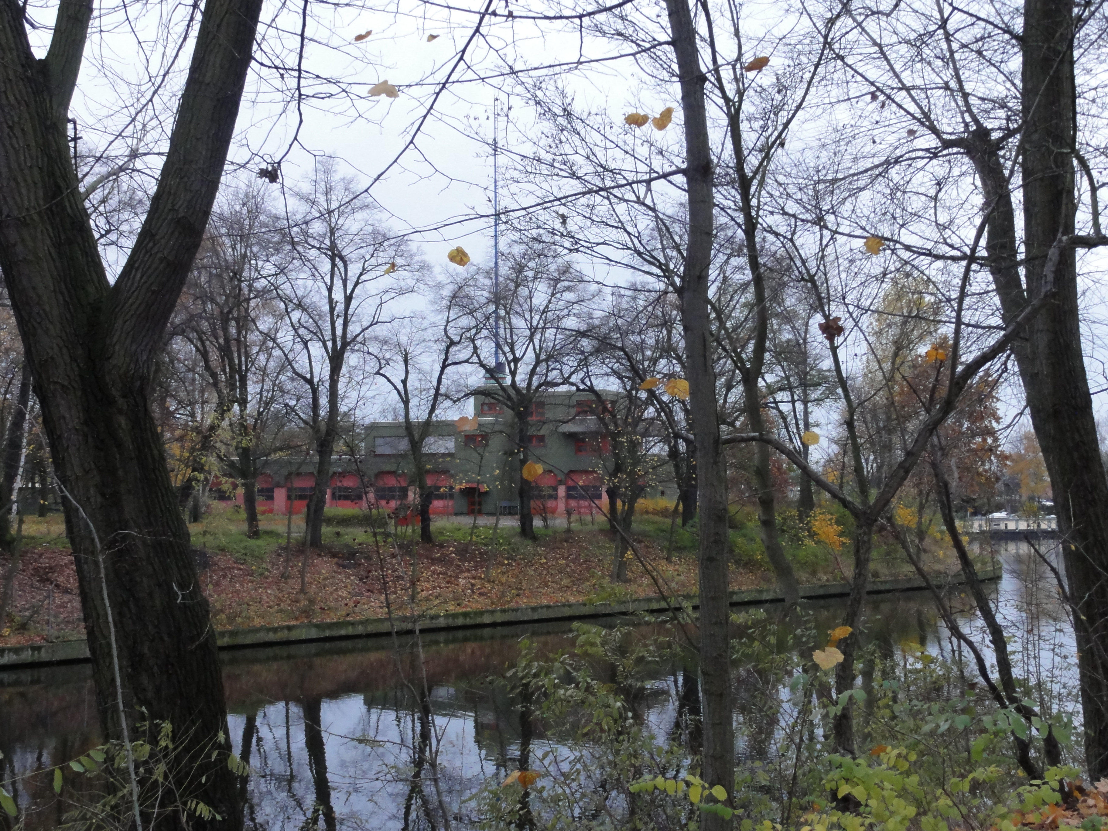
|
...ok, looking to the other side, there is the fire brigade:
|
|
2010:11:07 16:37:30
---
52 deg 32' 28.85" N, 13 deg 19' 51.07" E
219.5
°
©
ml
|
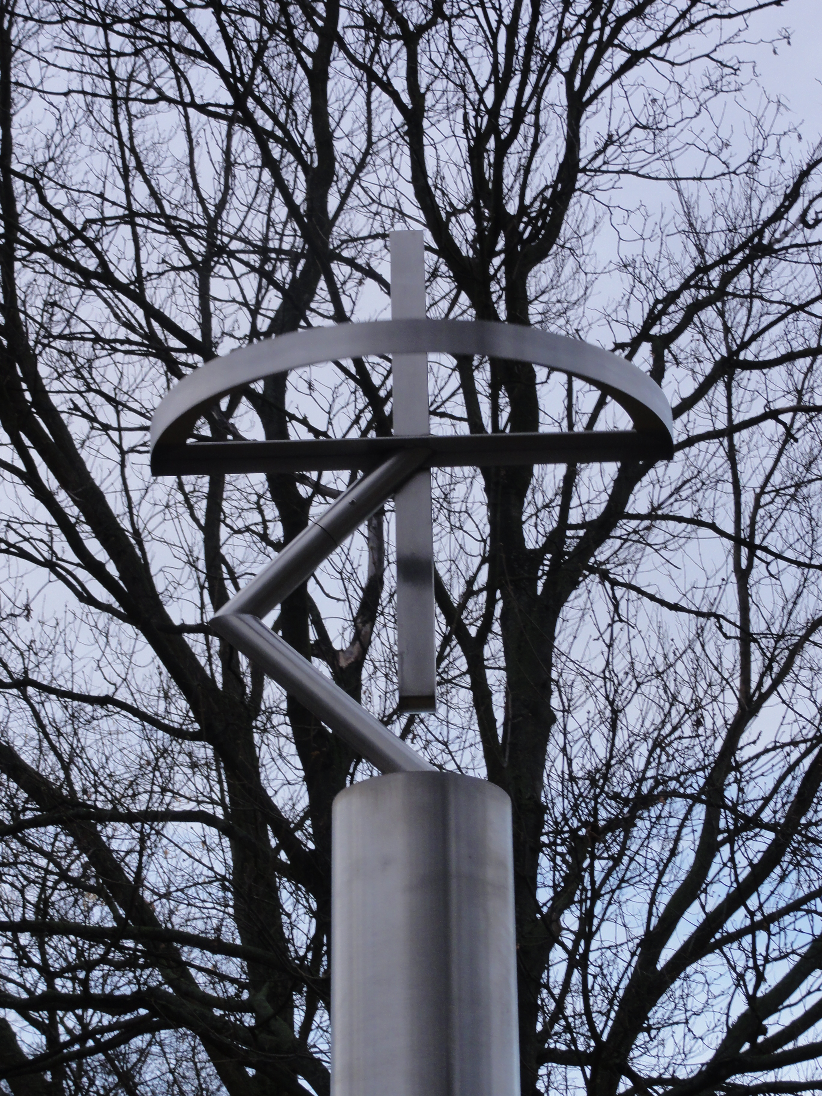
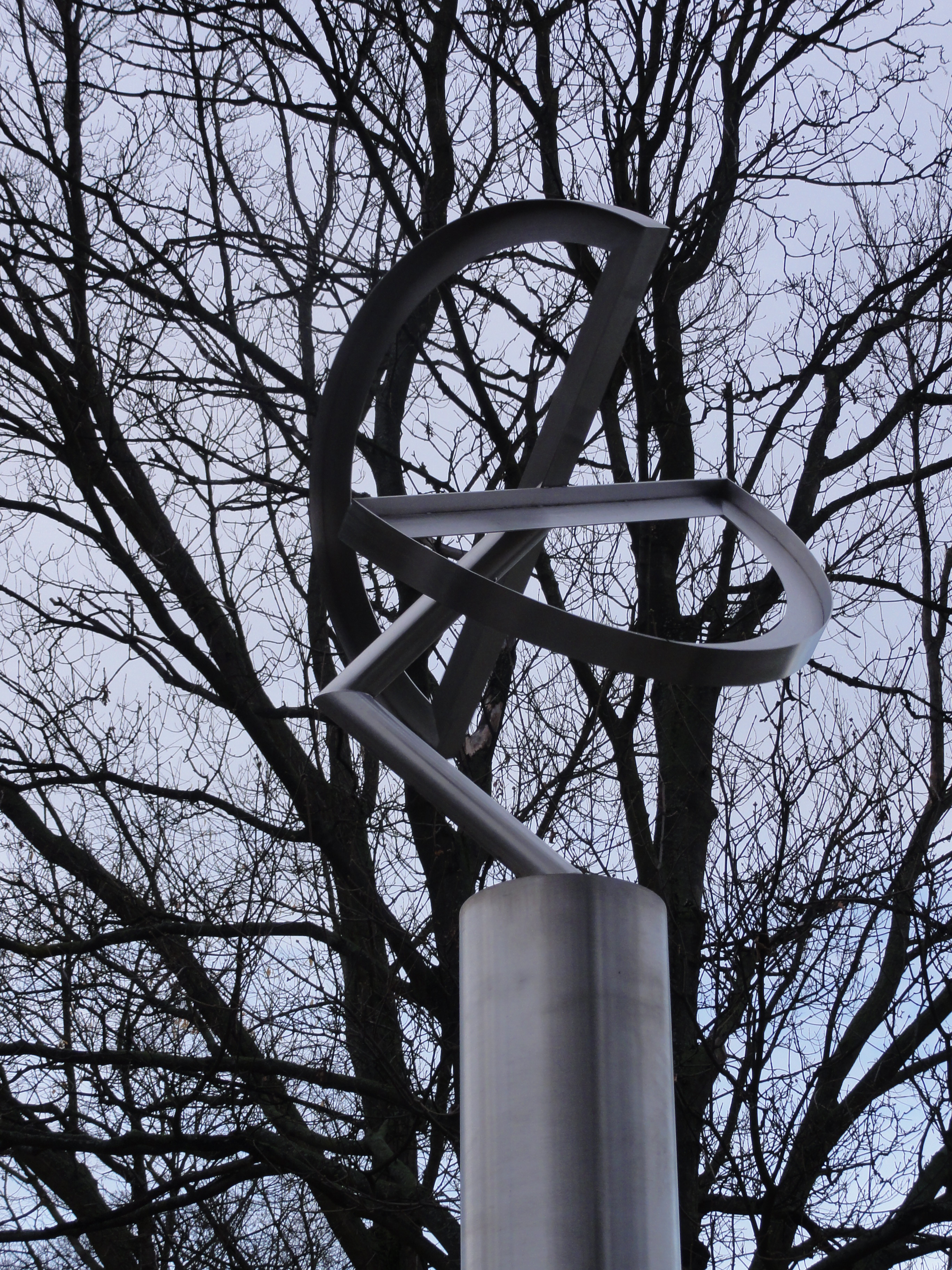
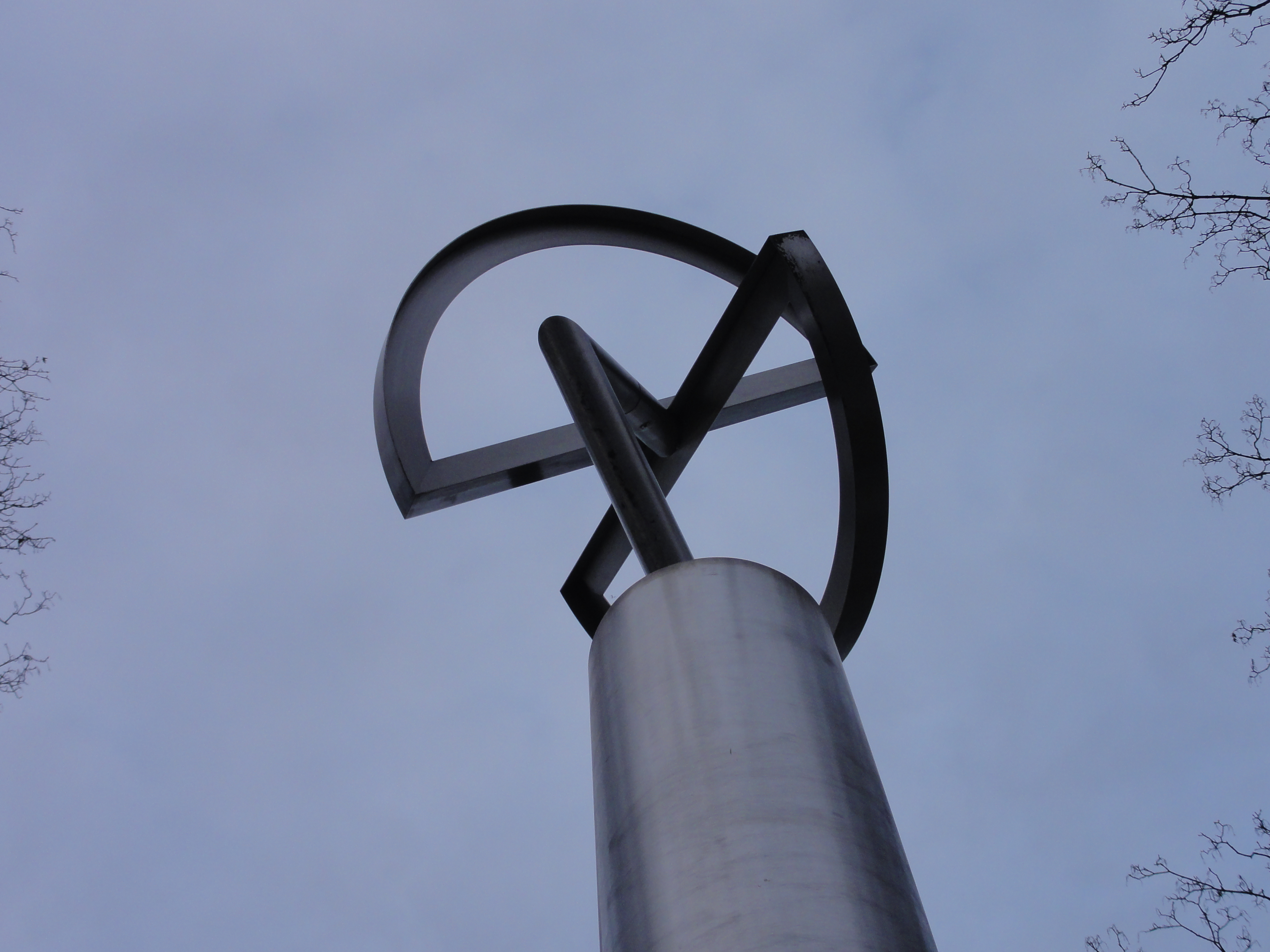
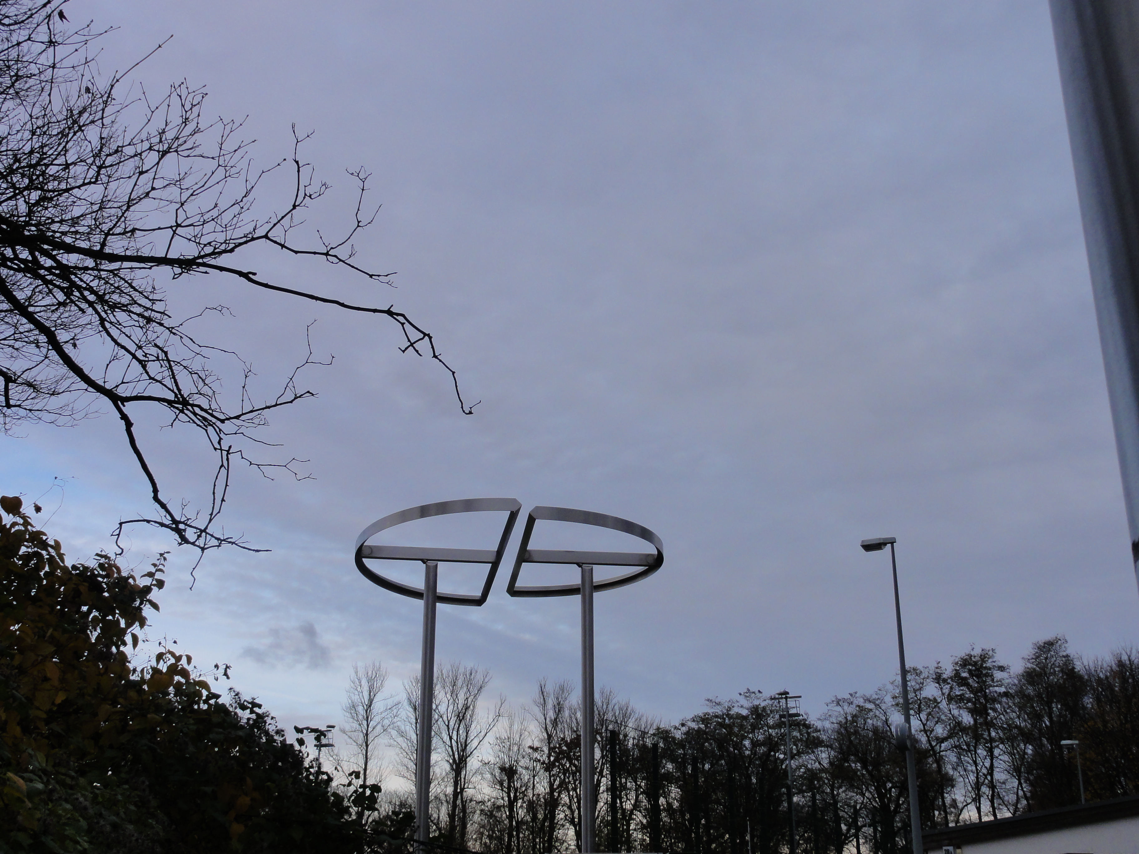
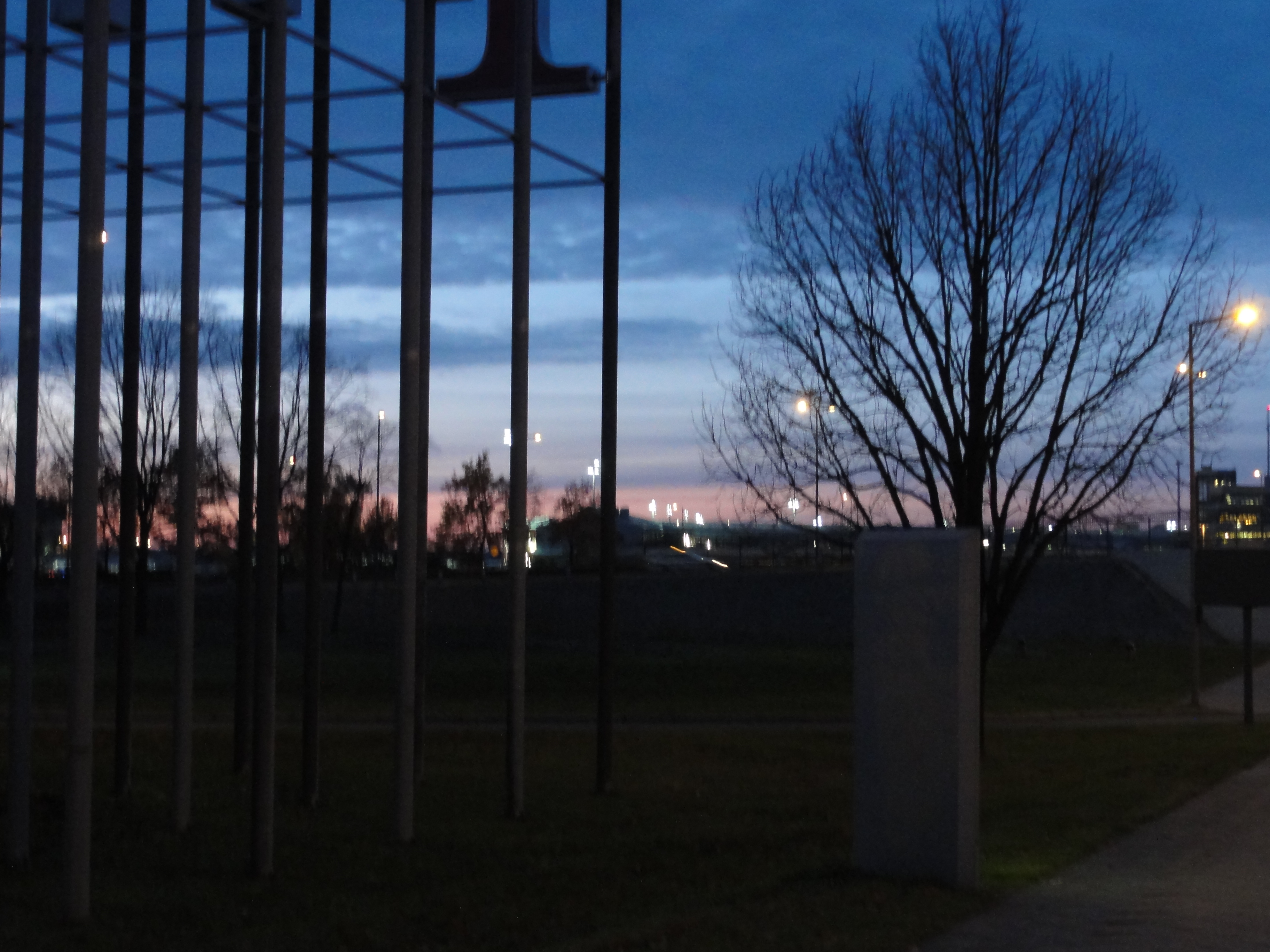
...and then we approach a bathing area with a mobile sculpture in front:
|
|
2010:11:07 16:41:41
---
52 deg 32' 31.13" N, 13 deg 19' 40.85" E
354
°
©
ml
|
|
|
2010:11:07 16:41:59
---
52 deg 32' 30.07" N, 13 deg 19' 38.60" E
324.5
°
©
ml
|
|
|
2010:11:07 16:42:00
---
52 deg 32' 30.06" N, 13 deg 19' 38.48" E
321.75
°
©
ml
|
|
|
2010:11:07 16:42:32
---
52 deg 32' 30.25" N, 13 deg 19' 38.27" E
60
°
©
ml
|
|
|
2010:11:07 16:42:39
---
52 deg 32' 30.36" N, 13 deg 19' 38.16" E
22
°
©
ml
|
The other banks:
|
|
2010:11:07 16:44:45
---
52 deg 32' 30.66" N, 13 deg 19' 34.27" E
246
°
©
ml
|
|
|
2010:11:07 16:45:33
---
52 deg 32' 30.72" N, 13 deg 19' 34.30" E
269.25
°
©
ml
|
|
|
2010:11:07 16:55:42
---
52 deg 32' 42.18" N, 13 deg 19' 19.44" E
276
°
©
ml
|
|
|
2010:11:07 16:58:28
---
52 deg 32' 46.05" N, 13 deg 19' 13.33" E
215.5
°
©
ml
|
|
|
2010:11:07 16:59:59
---
52 deg 32' 48.38" N, 13 deg 19' 11.26" E
285
°
©
ml
|
|
|
2010:11:07 17:03:24
---
52 deg 32' 52.26" N, 13 deg 19' 6.28" E
227.25
°
©
ml
|
Looking back
|
|
2010:11:07 16:57:58
---
52 deg 32' 42.49" N, 13 deg 19' 19.29" E
126.25
°
©
ml
|
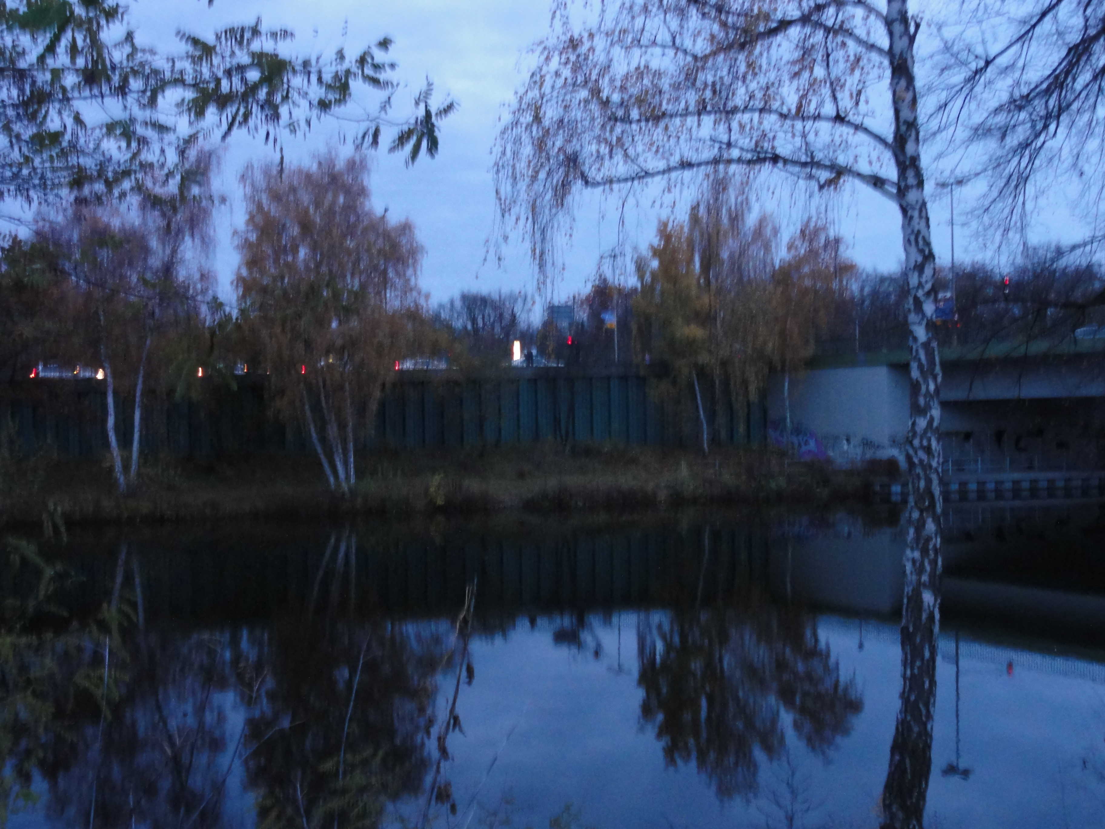
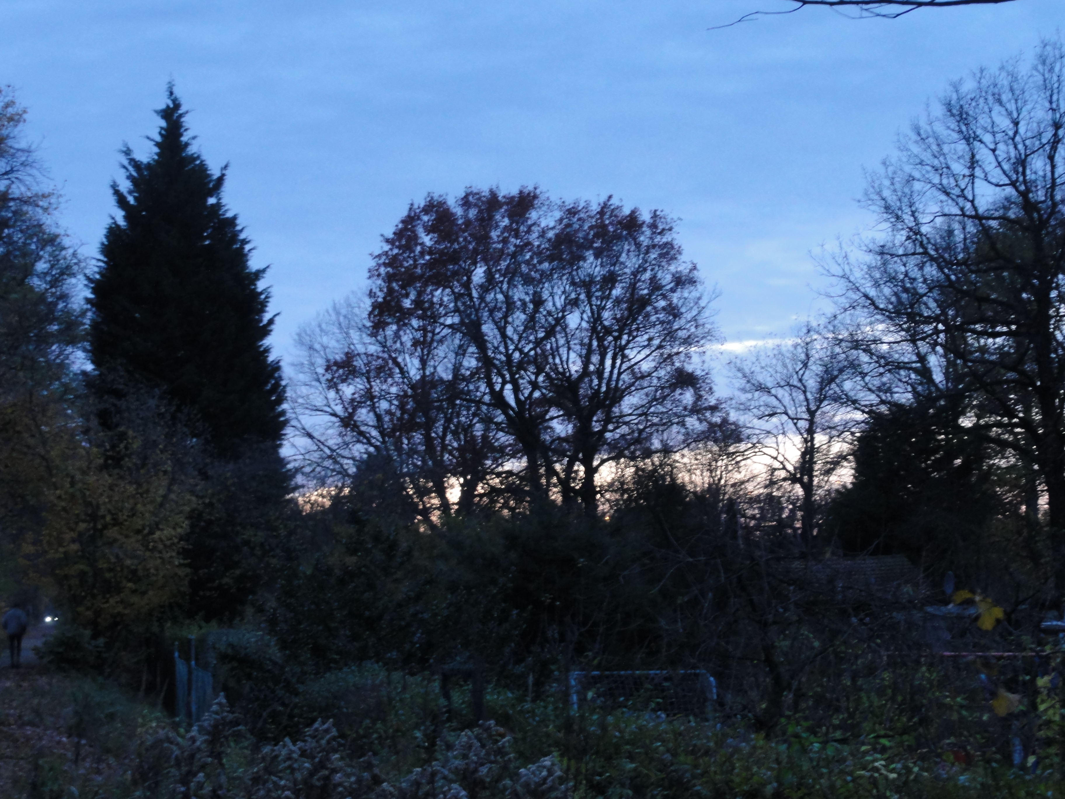
Going forth (it's getting dark!)
|
|
2010:11:07 17:01:00
---
52 deg 32' 49.79" N, 13 deg 19' 9.42" E
284.5
°
©
ml
|
|
|
2010:11:07 17:01:19
---
52 deg 32' 49.96" N, 13 deg 19' 9.35" E
271.5
°
©
ml
|
|
|
2010:11:07 17:02:55
---
52 deg 32' 52.07" N, 13 deg 19' 6.62" E
272
°
©
ml
|
|
|
2010:11:07 17:04:53
---
52 deg 32' 53.10" N, 13 deg 19' 4.58" E
262.25
°
©
ml
|
|
|
2010:11:07 17:03:36
---
52 deg 32' 52.13" N, 13 deg 19' 6.29" E
247
°
©
ml
|
|
|
2010:11:07 17:18:21
---
52 deg 32' 59.91" N, 13 deg 19' 0.55" E
257.75
°
©
ml
|
|
|
2010:11:07 17:18:41
---
52 deg 33' 0.03" N, 13 deg 19' 0.78" E
98
°
©
ml
|
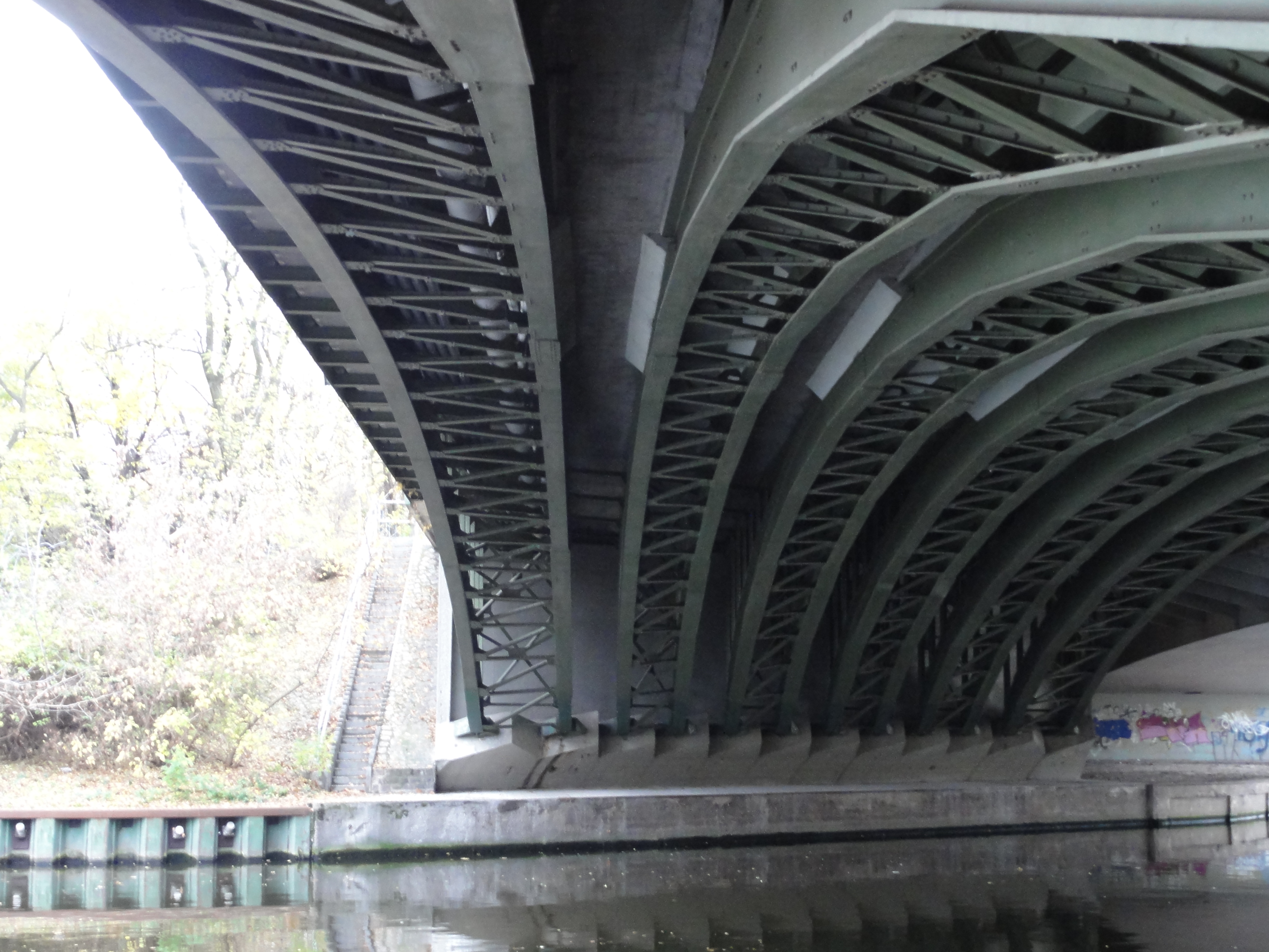
The "Hinkeldey"-bridge (don't know what it means, it's just the Autobahn on top!)
|
|
2010:11:07 17:35:59
---
52 deg 33' 2.92" N, 13 deg 18' 47.83" E
121.75
°
©
ml
|
|
|
2010:11:07 17:35:44
---
52 deg 33' 2.92" N, 13 deg 18' 47.83" E
241.75
°
©
ml
|
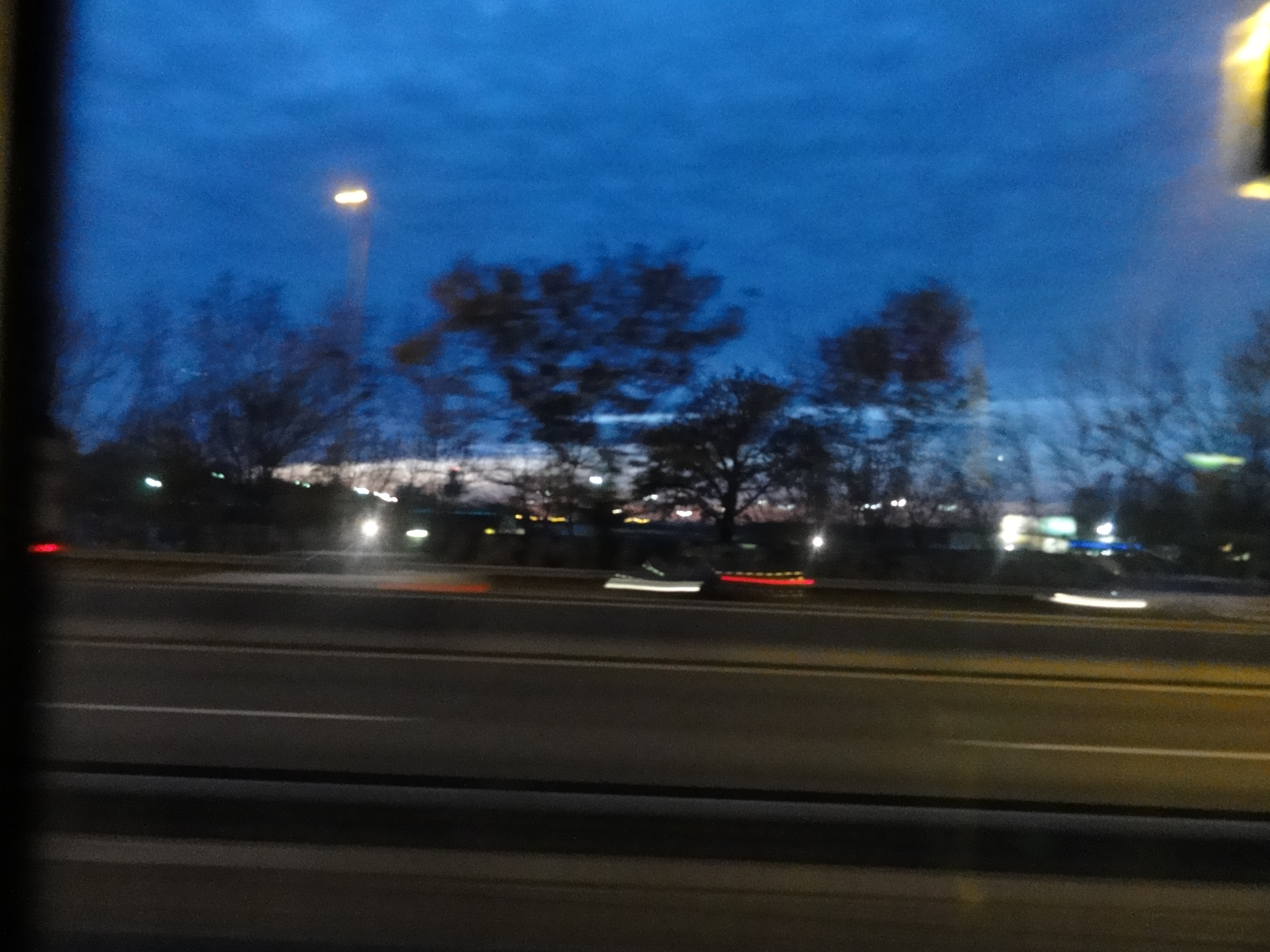
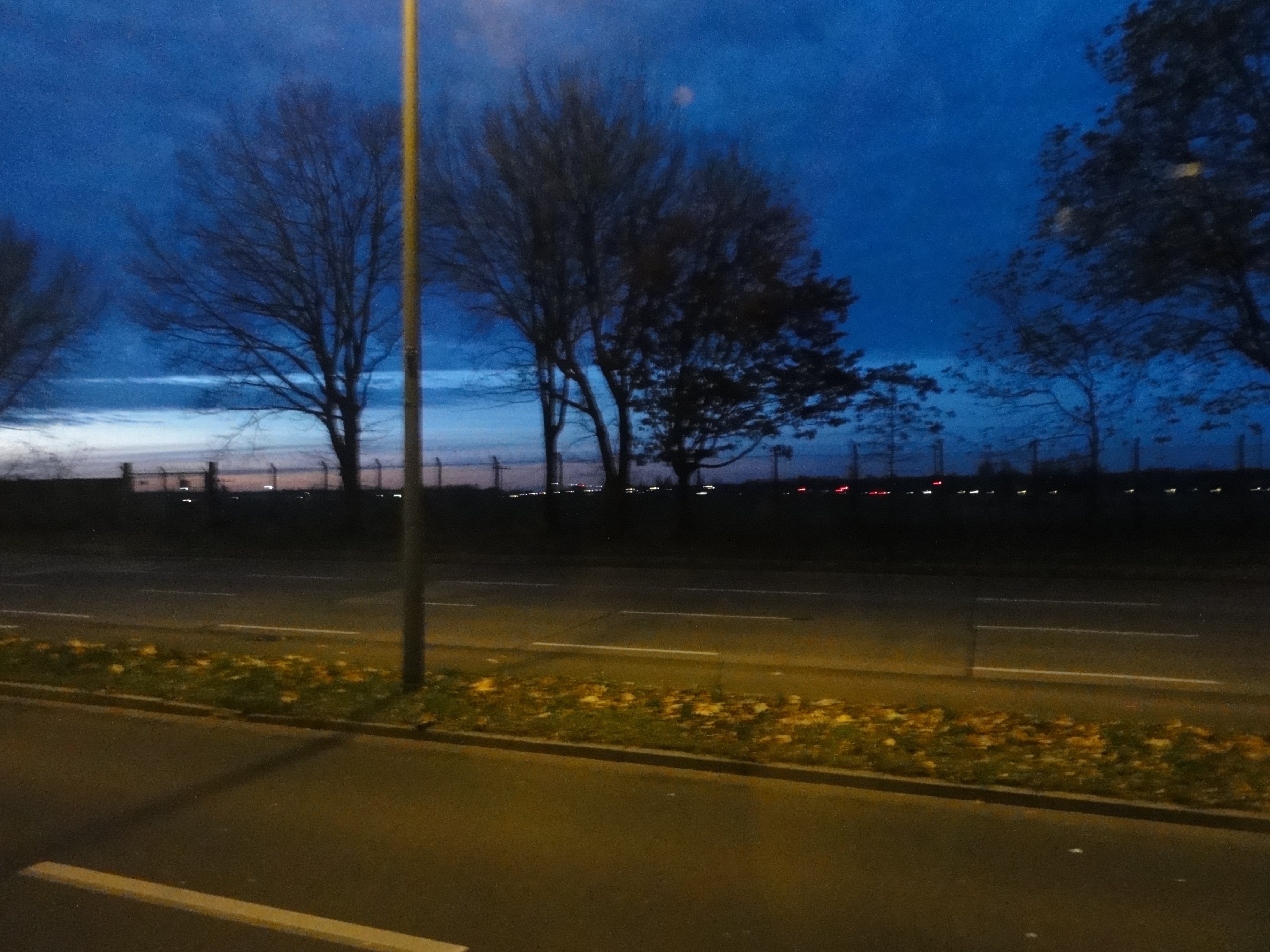
Now its really getting dark, so I have to apologize for the missing sharpness:
|
|
2010:11:07 17:39:38
---
52 deg 32' 55.79" N, 13 deg 17' 50.65" E
217
°
©
ml
|
|
|
2010:11:07 17:41:29
---
52 deg 32' 54.98" N, 13 deg 17' 45.36" E
271.75
°
©
ml
|
|
|
2010:11:07 17:48:46
---
52 deg 32' 59.36" N, 13 deg 17' 43.19" E
286.25
°
©
ml
|
|
|
2010:11:07 17:49:15
---
52 deg 32' 59.71" N, 13 deg 17' 42.82" E
283.25
°
©
ml
|
taking the bus back into civilisation (Osloer Str./ U8!)
|
|
2010:11:07 17:54:13
---
52 deg 33' 3.80" N, 13 deg 18' 11.87" E
256.75
°
©
ml
|
|
|
2010:11:07 17:56:03
---
52 deg 33' 33.62" N, 13 deg 18' 49.16" E
317.25
°
©
ml
|
|
|
2010:11:07 17:55:13
---
52 deg 33' 23.44" N, 13 deg 18' 36.08" E
252.75
°
©
ml
|
back to photos' home / zurück zur Photo-Übersicht
back to tours' home / zurück zur ersten Tour
markuslepper.eu
2011-07-29_21h14


produced with
eu.bandm.metatools.d2d
and
XSLT
FYI view
page source text