 75.5
°
©
ml
75.5
°
©
ml
Autumn Tours / III
1
Tour Along the Wriezener Bahn From Stadtbahn To Höhenschönhausen
2
Tour From the Socialists' Cemetery to Socialism's End
3
Through BUCH
back to photos' home / zurück zur Photo-Übersicht
back to tours' home / zurück zur ersten Tour
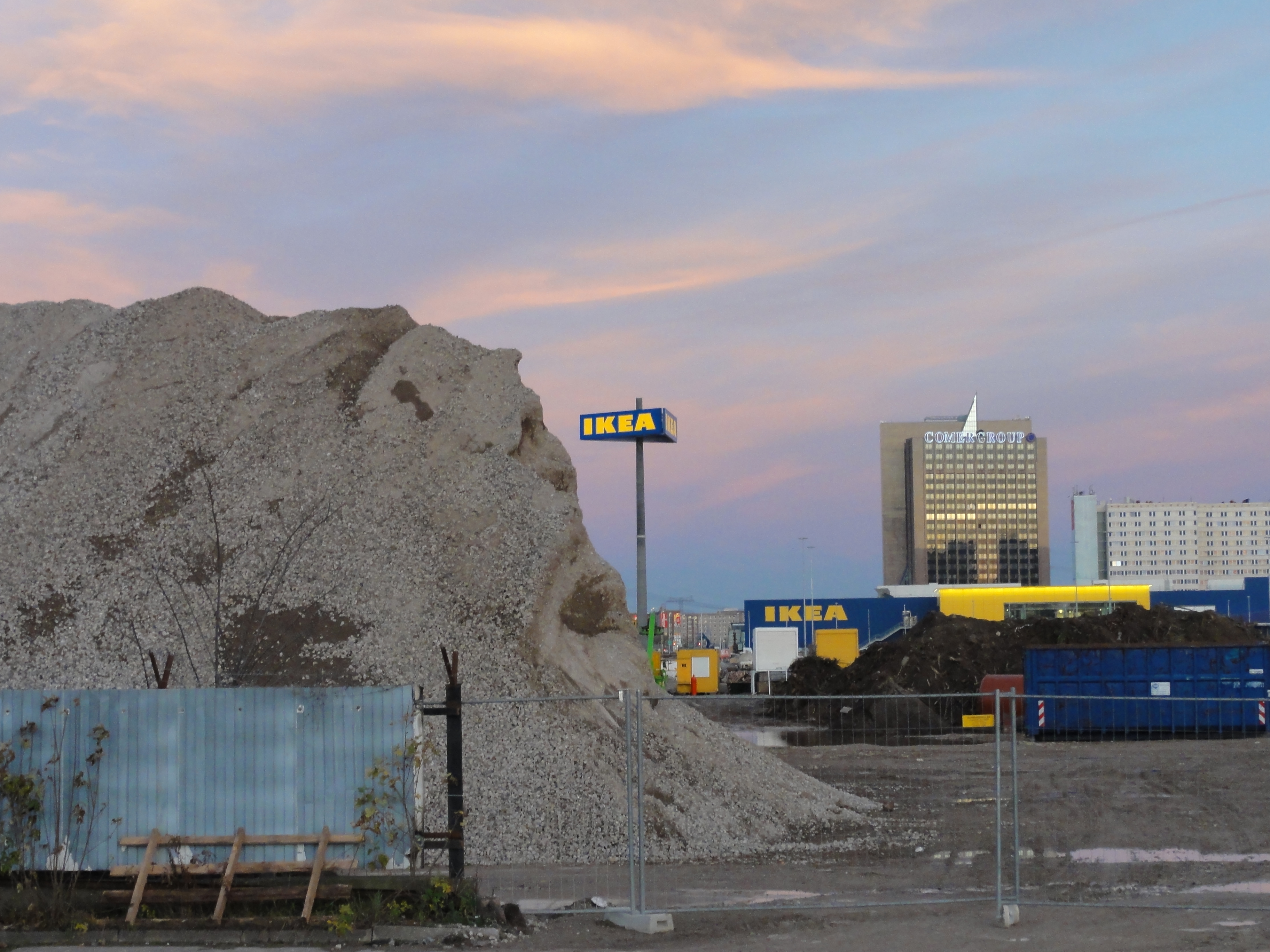
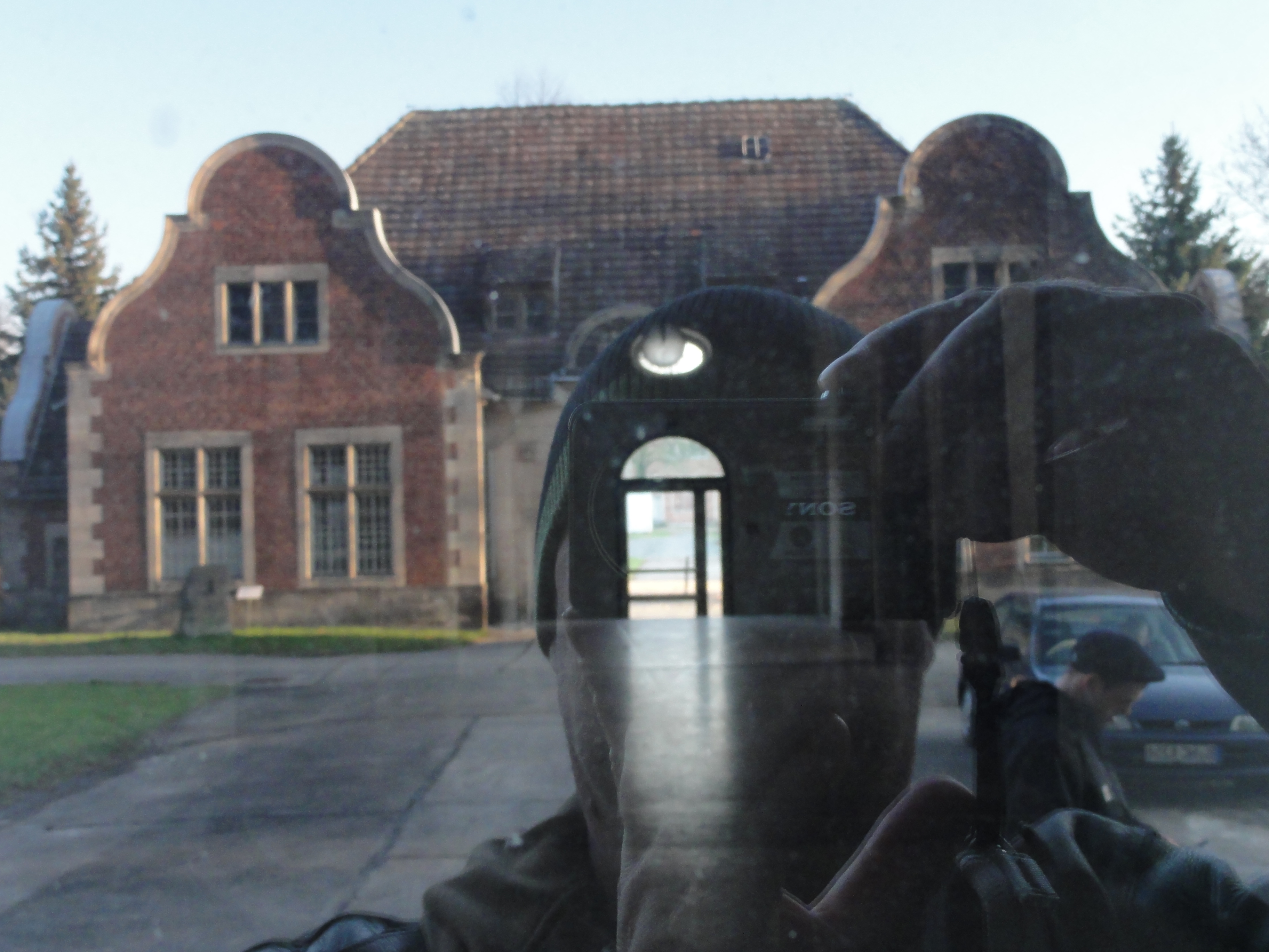
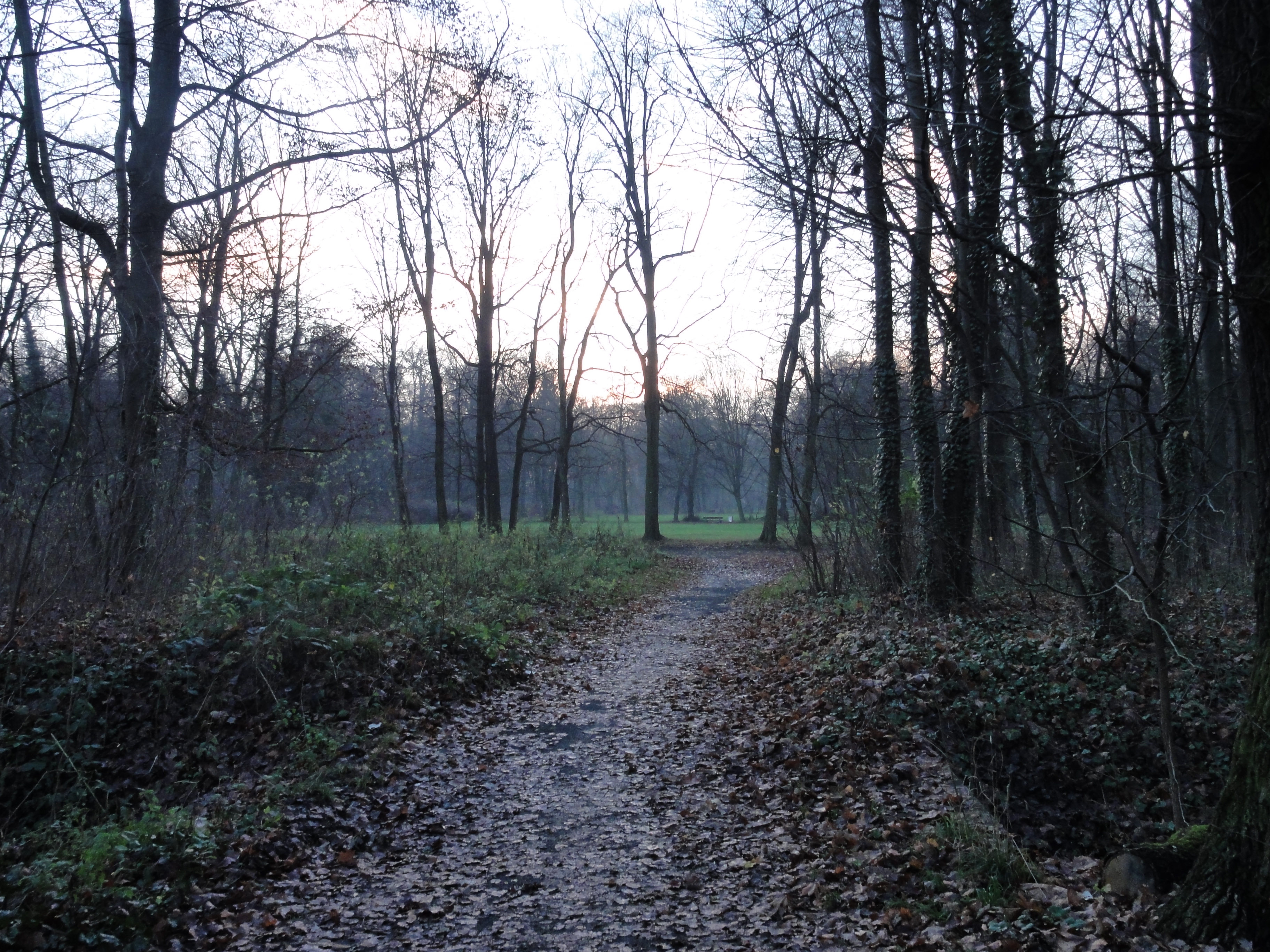
We start at the S-Bahn station Frierichsfelde Ost.
Take the elevator which brings you directly from the
platform to the Rhinstr.
Try to cross the Rhinstr. (dangerous and illegal !-)
On the north-east corner of the crossing of street and railway there is a very steep footpath leading to the railway area (this is legal again, don't worry !-)
|
|
|
2010:10:17 14:43:36
---
52 deg 30' 35.09" N, 13 deg 22' 53.17" E
75.5
°
©
ml
|
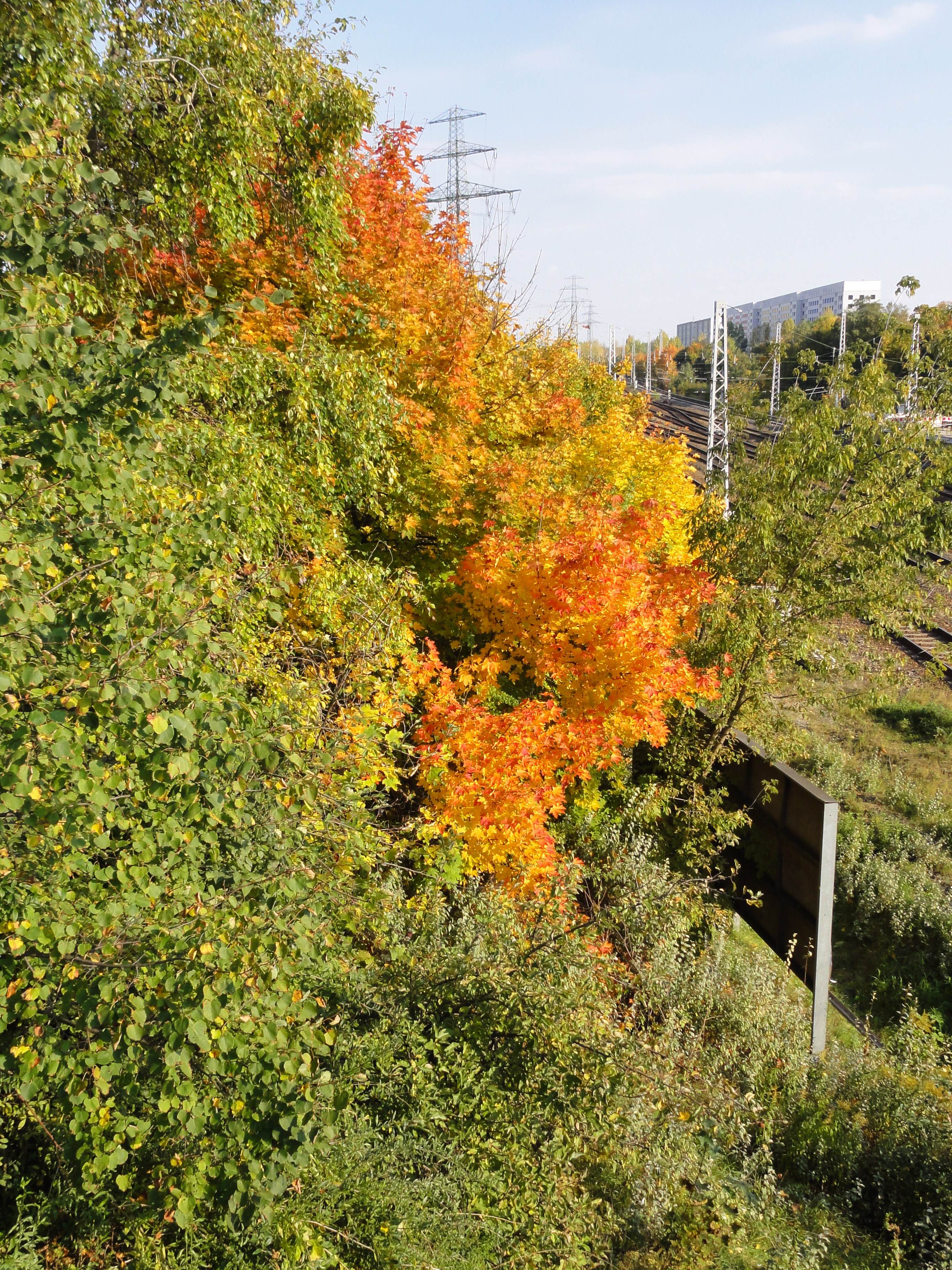
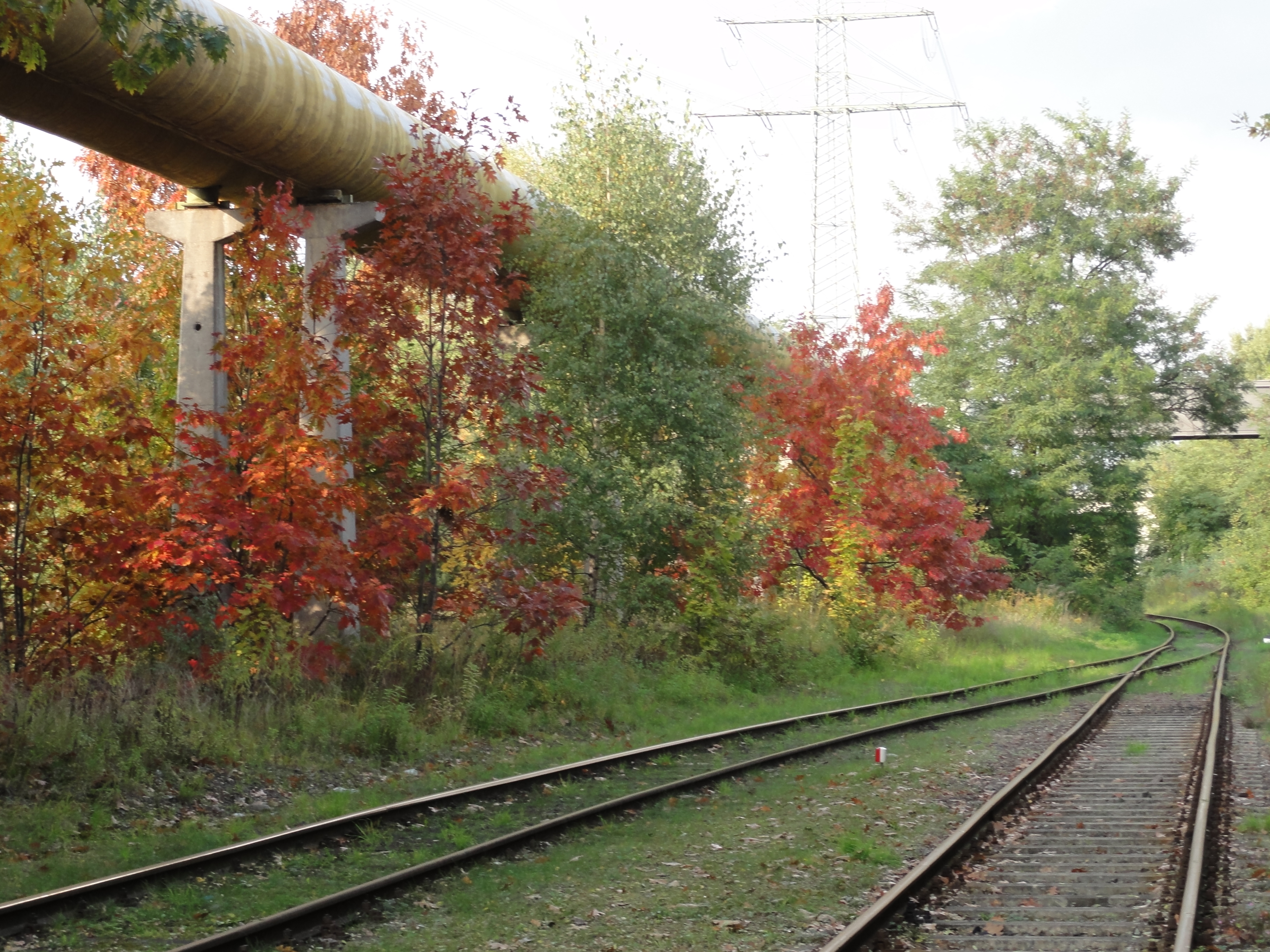
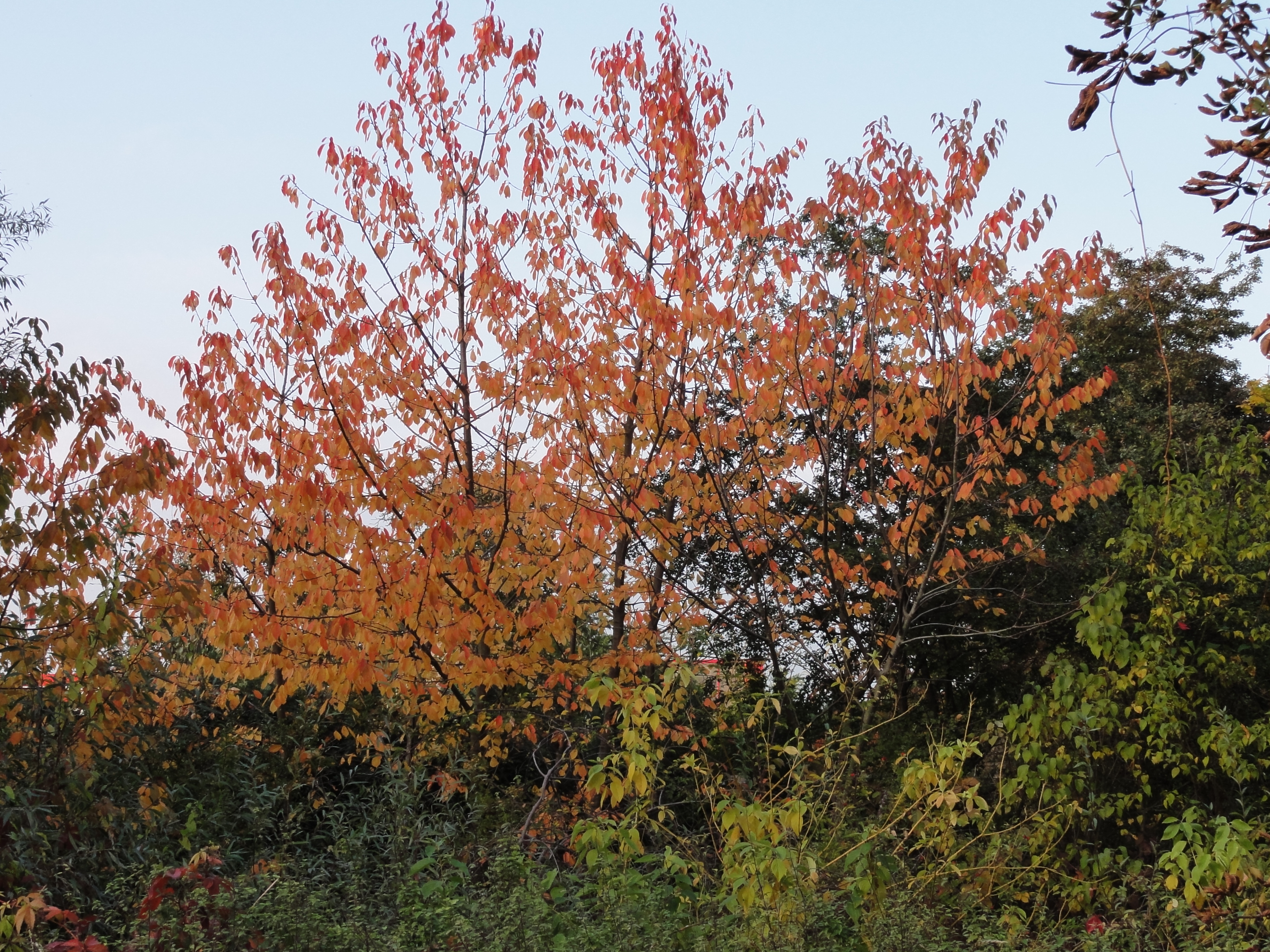
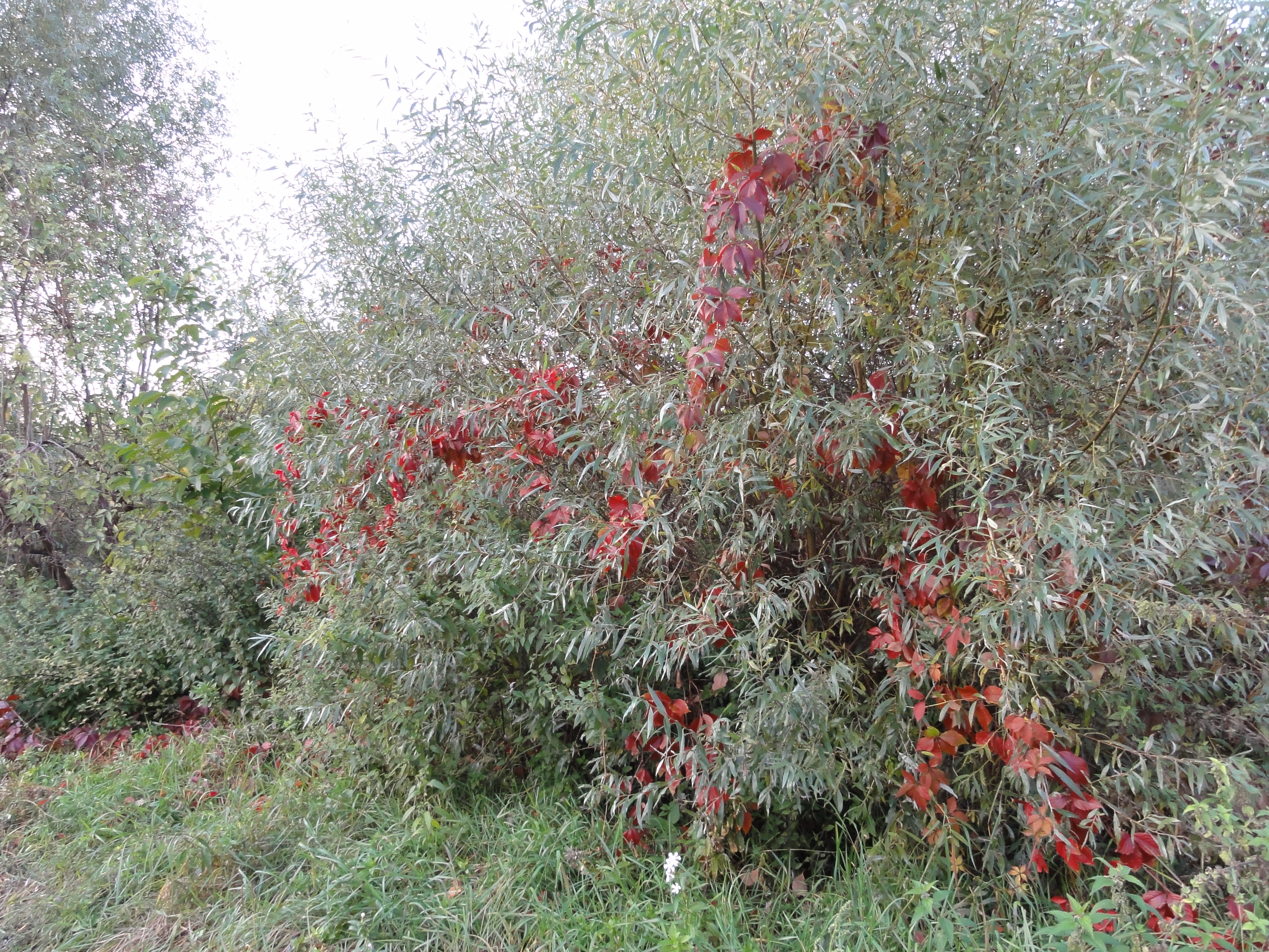
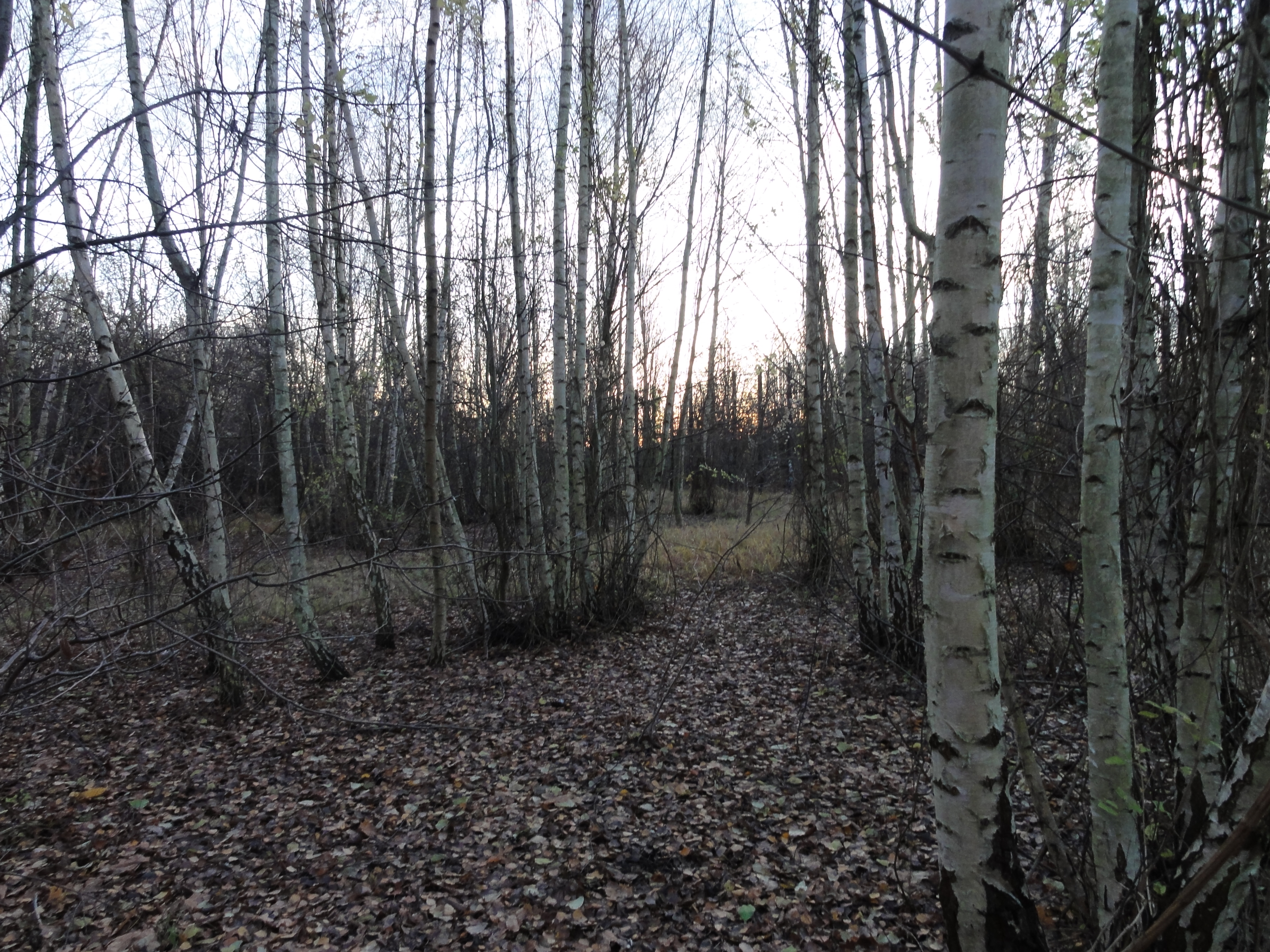
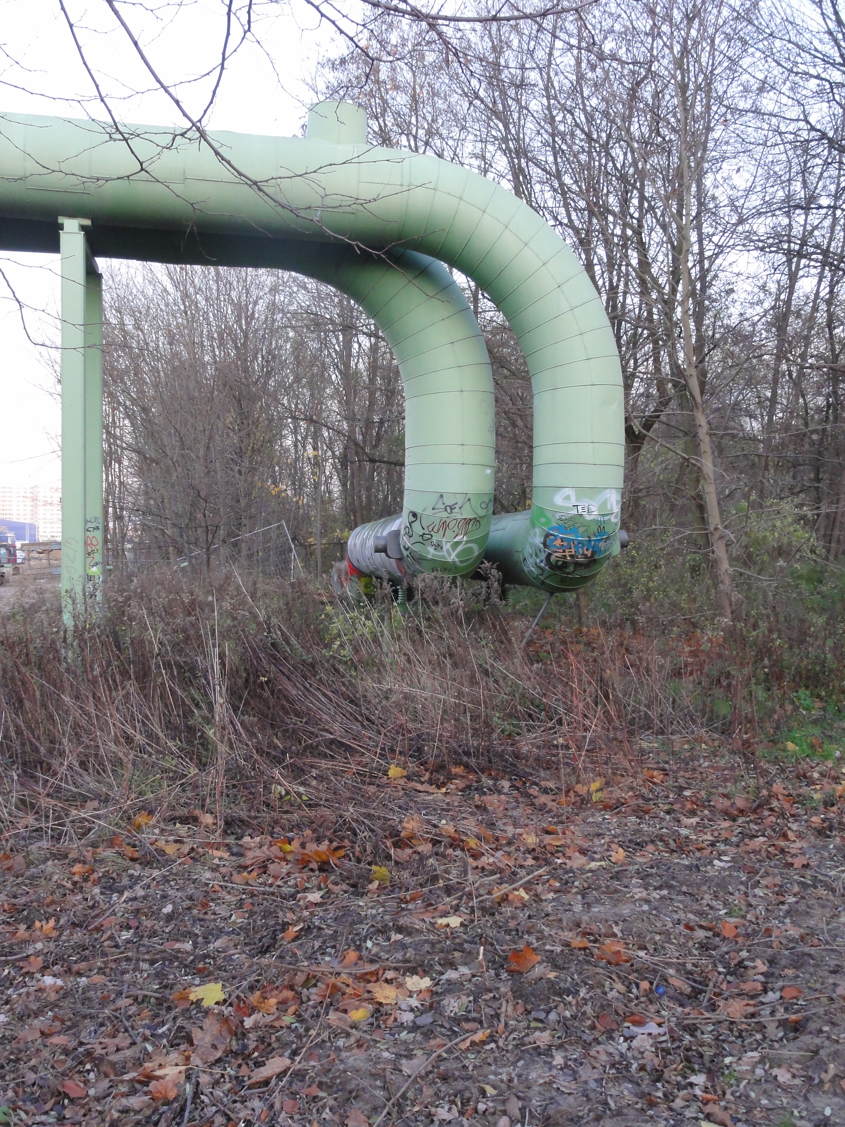
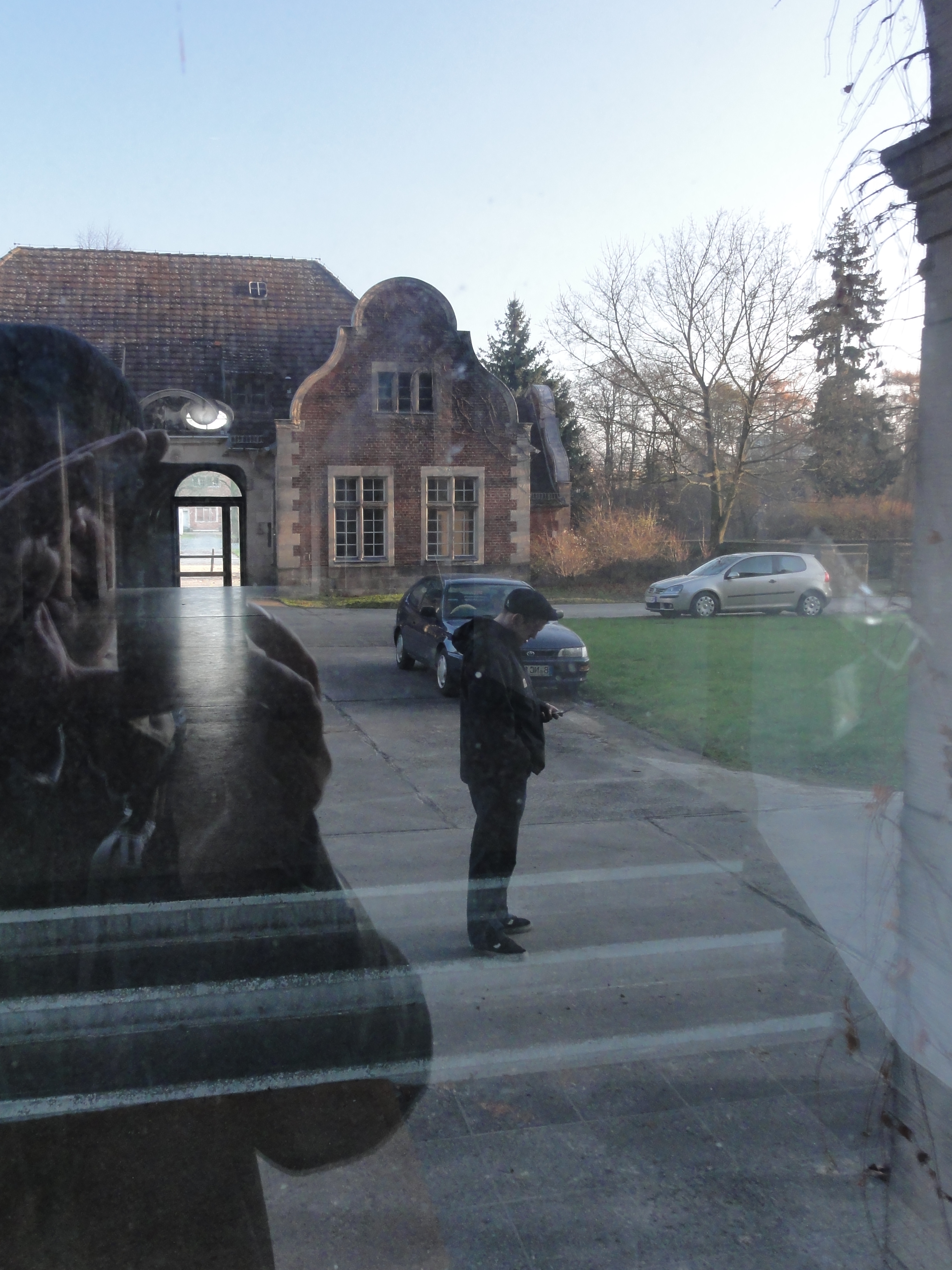
There is a small Schrebergarten-Siedlung. We follow its main way eastward, which runs along the large heating tubes and the railway line. After about hundred meters it turns north. We follow a relict and nearly totally overgrwon railway path. This once was the connection between the Stadtbahn and the most important industrial "Wriezener Bahn" railway leading to Marzahn and Hohenschönhausen.
(There are wrong GPS coordinates with the first photos, dunno why !-)
|
2010:10:17 14:46:19 322.25
°
©
ml
322.25
°
©
ml
|
|
2010:10:17 14:46:26 110
°
©
ml
110
°
©
ml
|
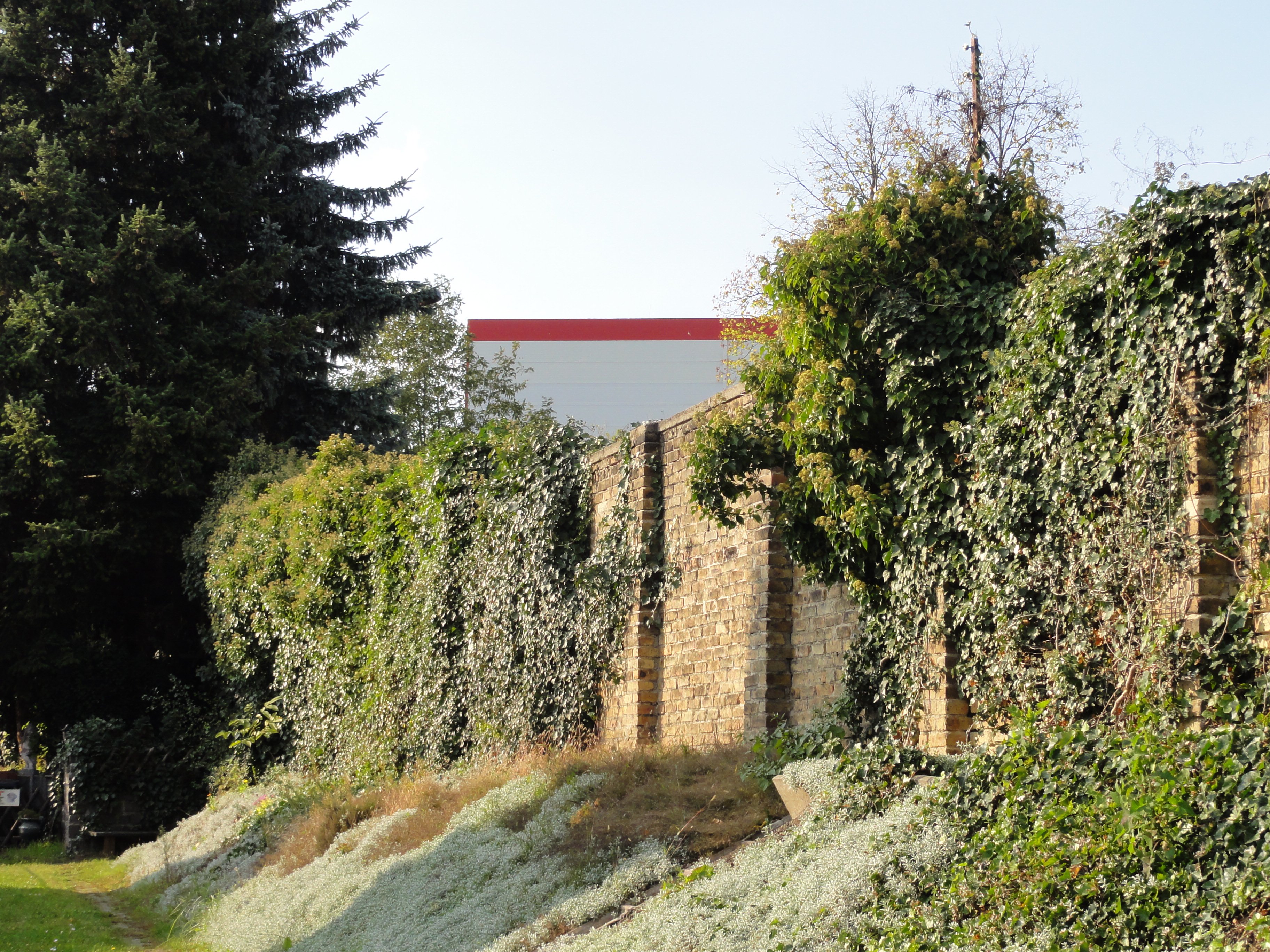
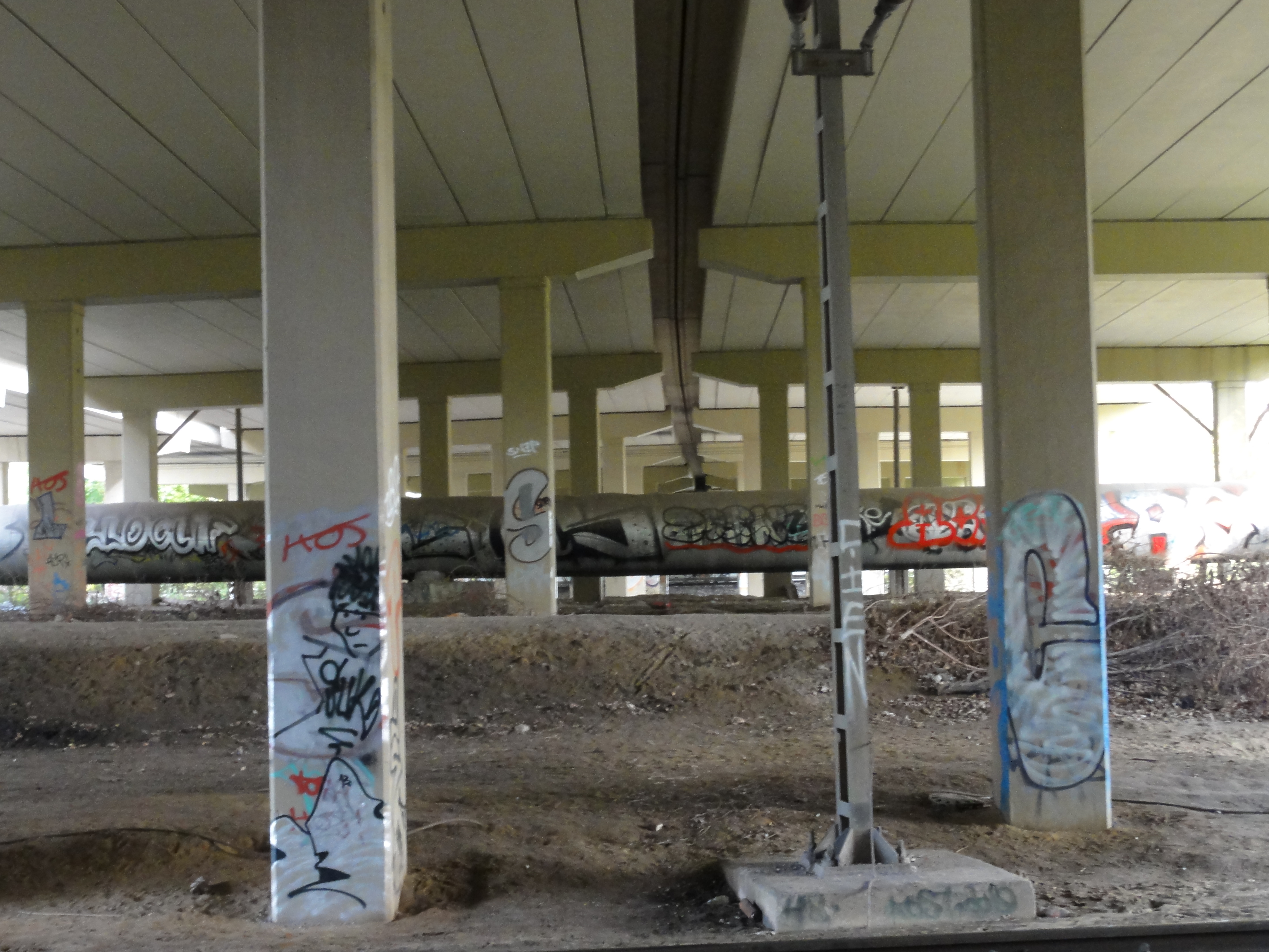
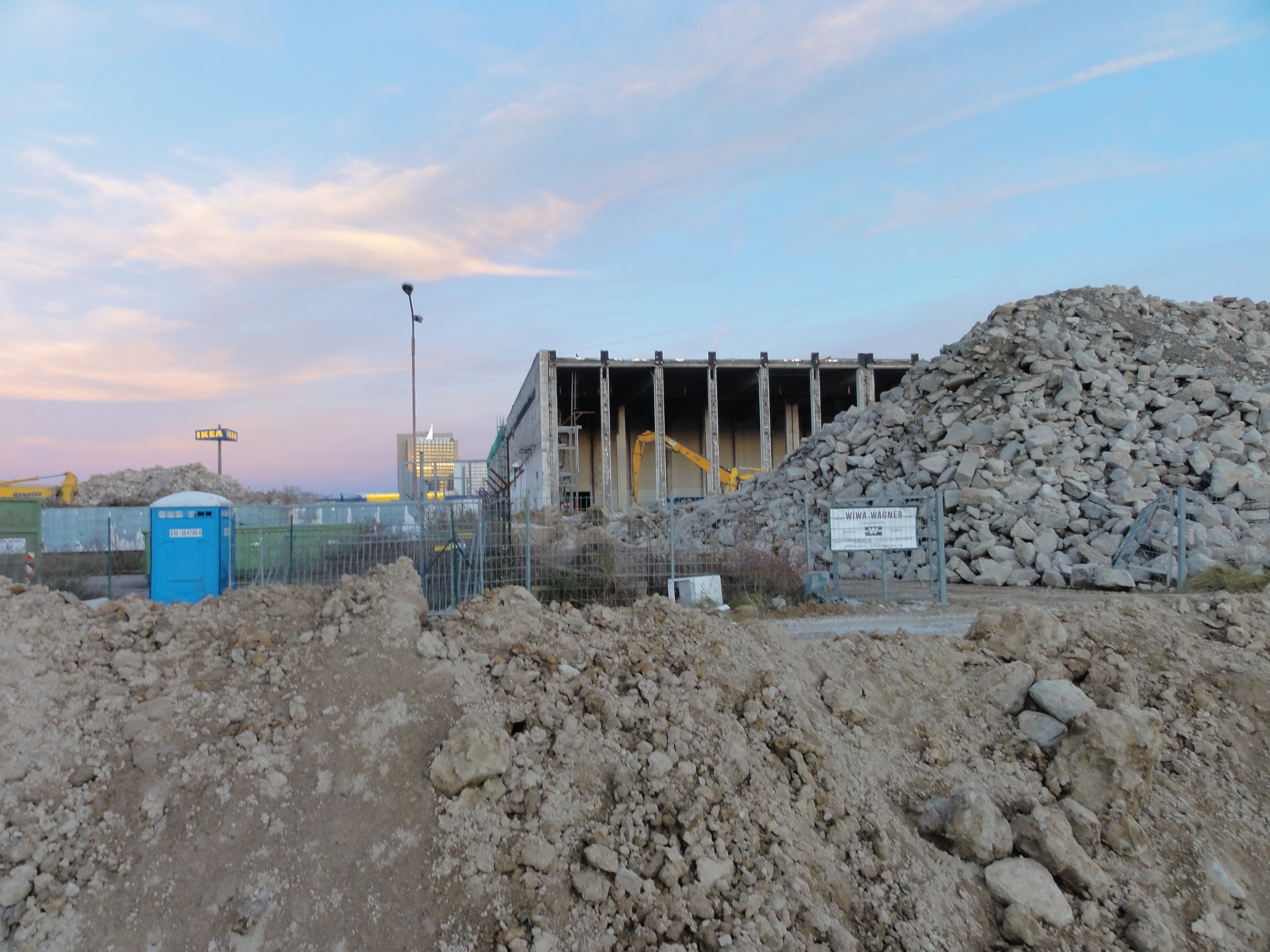
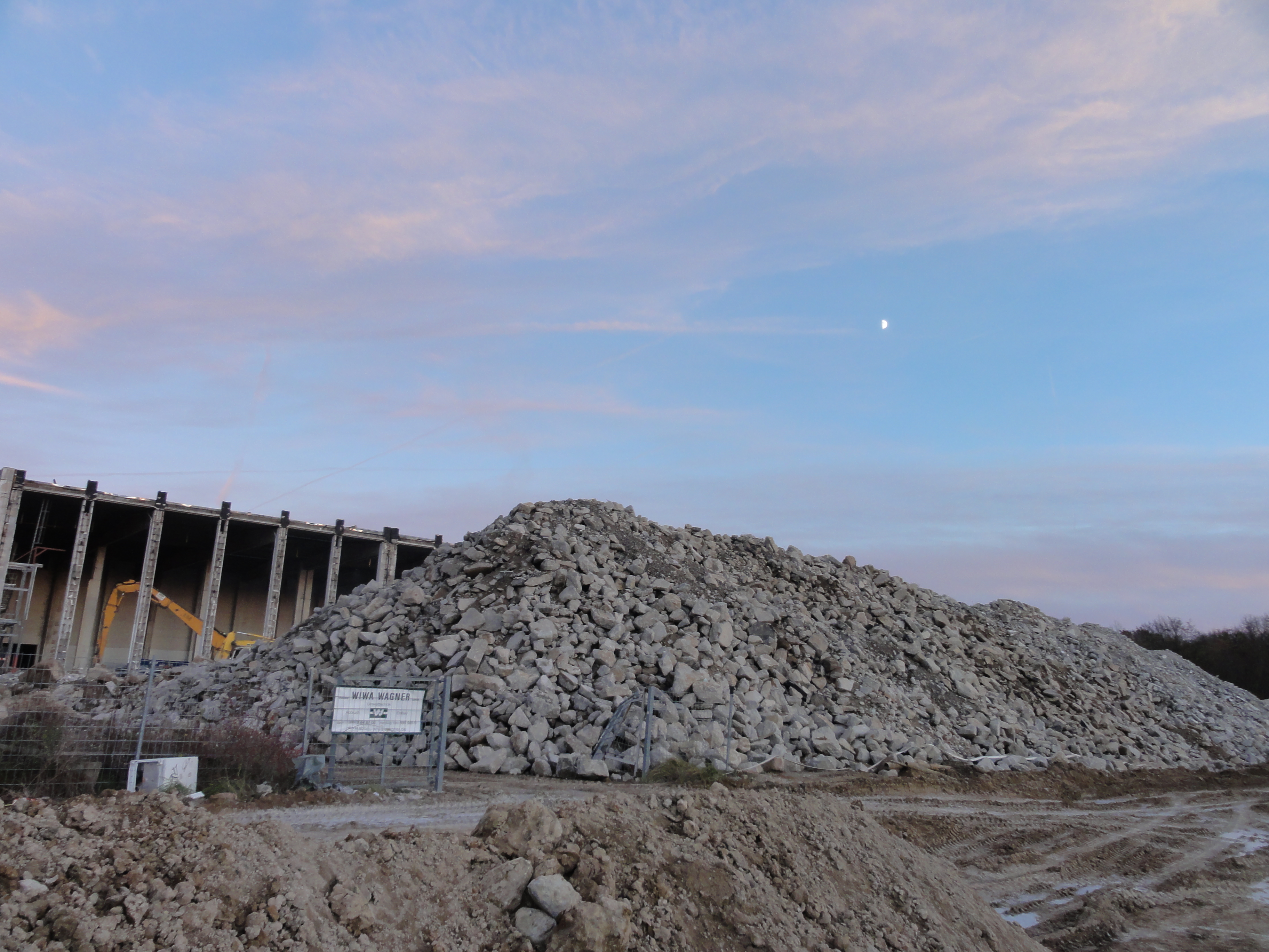
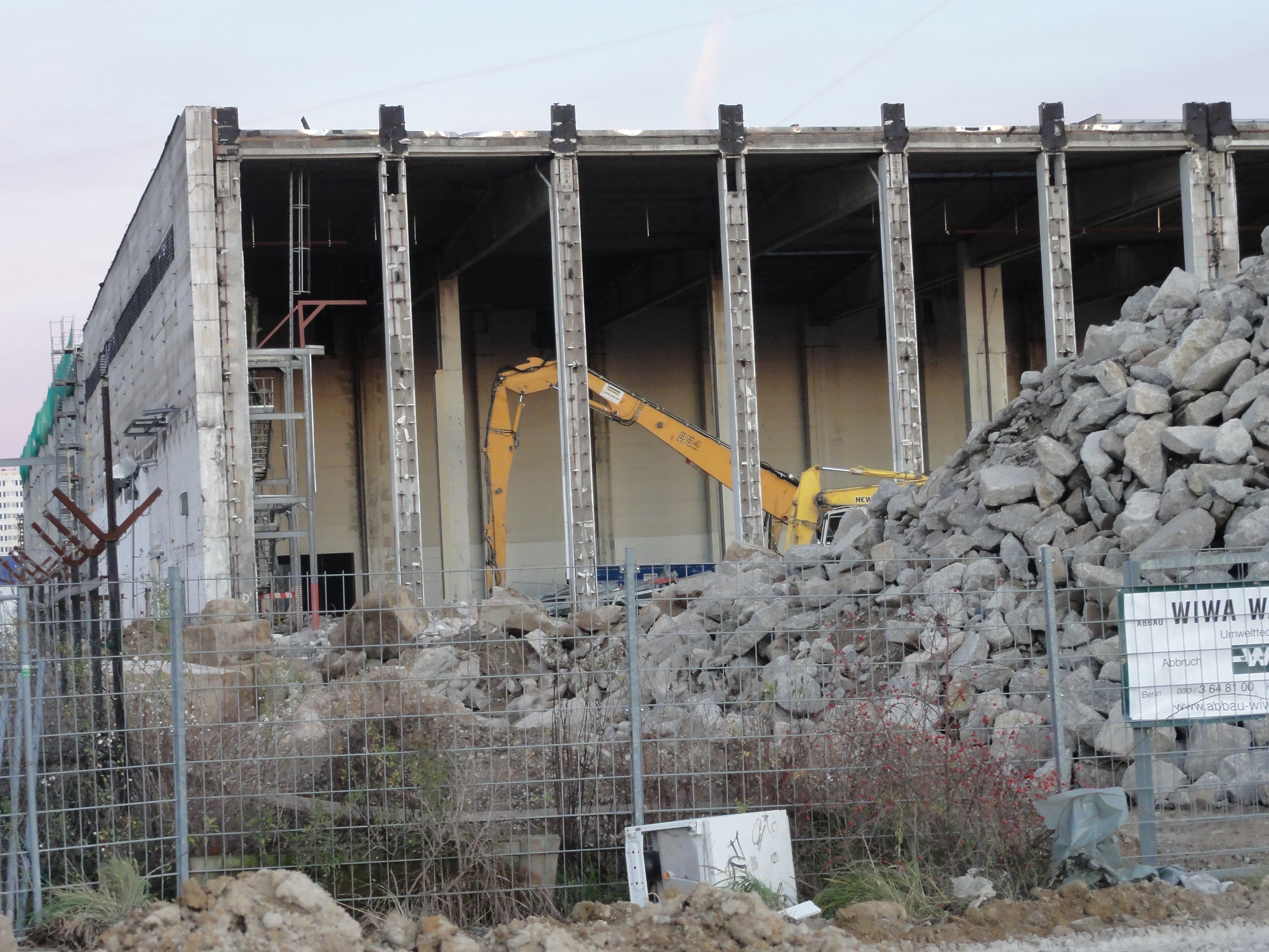
In principle. our tour follows this trace, but we have to make some deroutes. E.g. here the huge silos of the concrete factory are built directly onto the trace. On the other hand, this factory is the only one still using it, but the opposite direction!
We come to a small !bridge!, just before this obstacle, and have to climb down its left side (dangerous!) Then we follow the old trace of the heating tube.
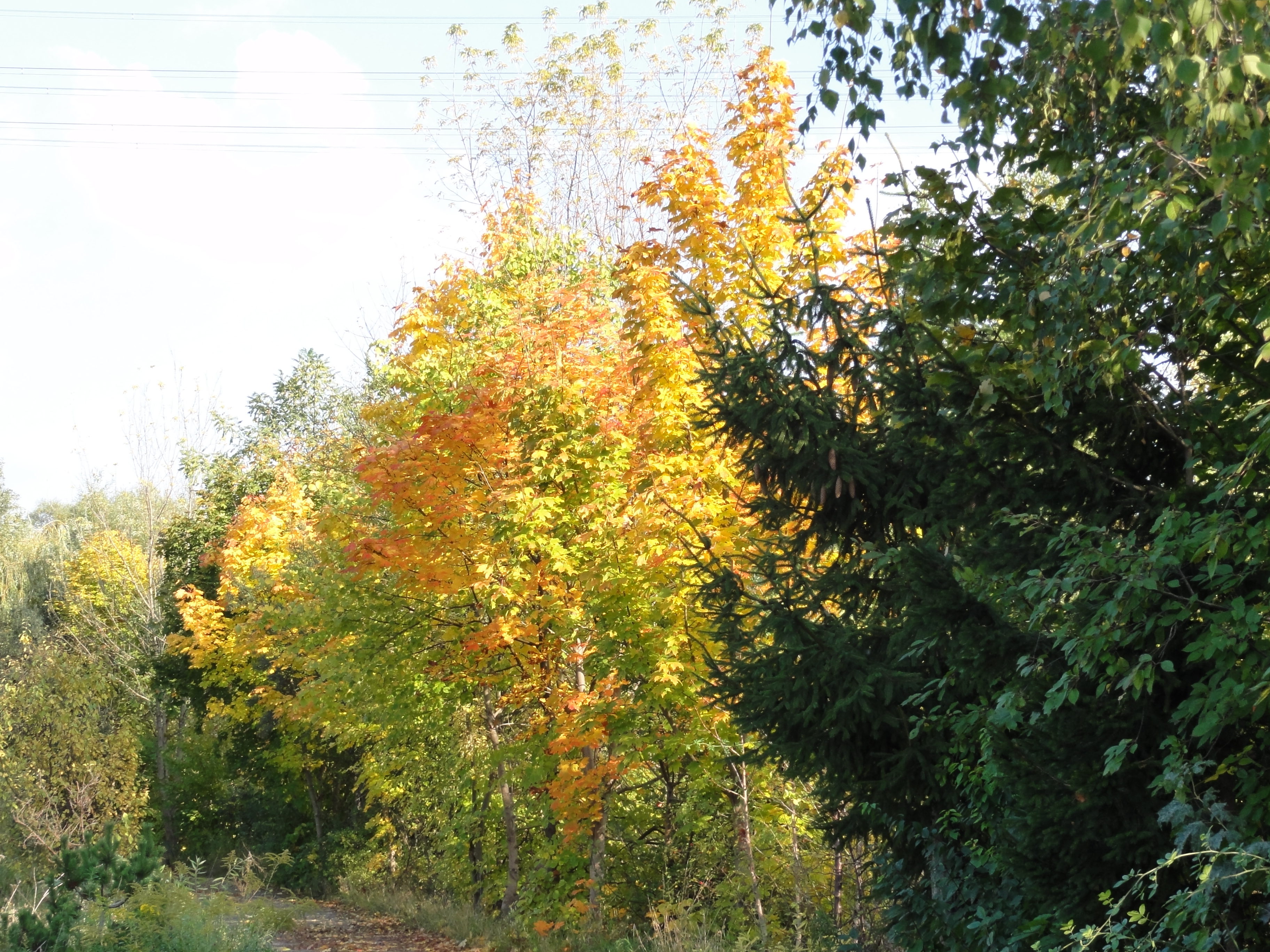
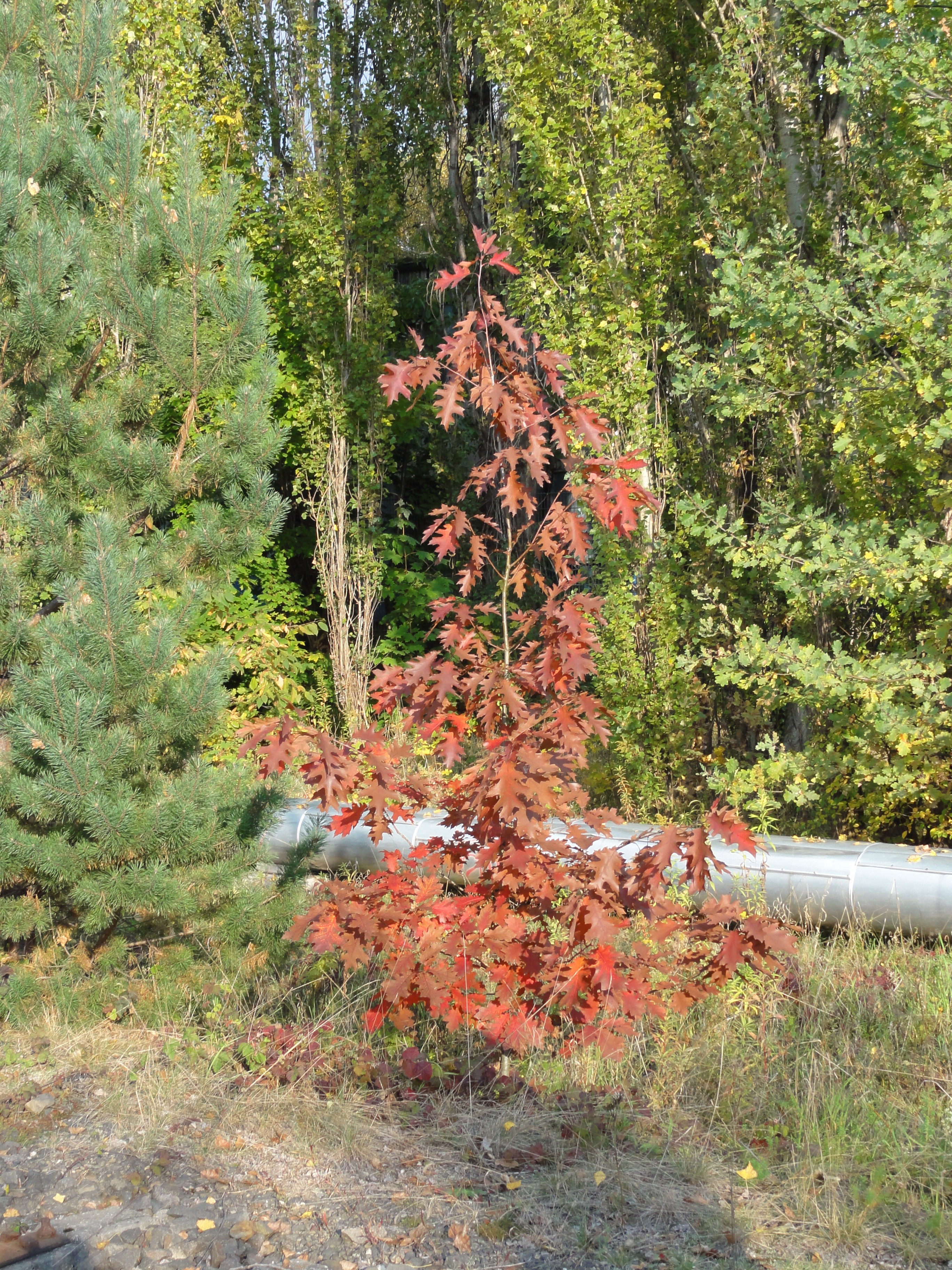
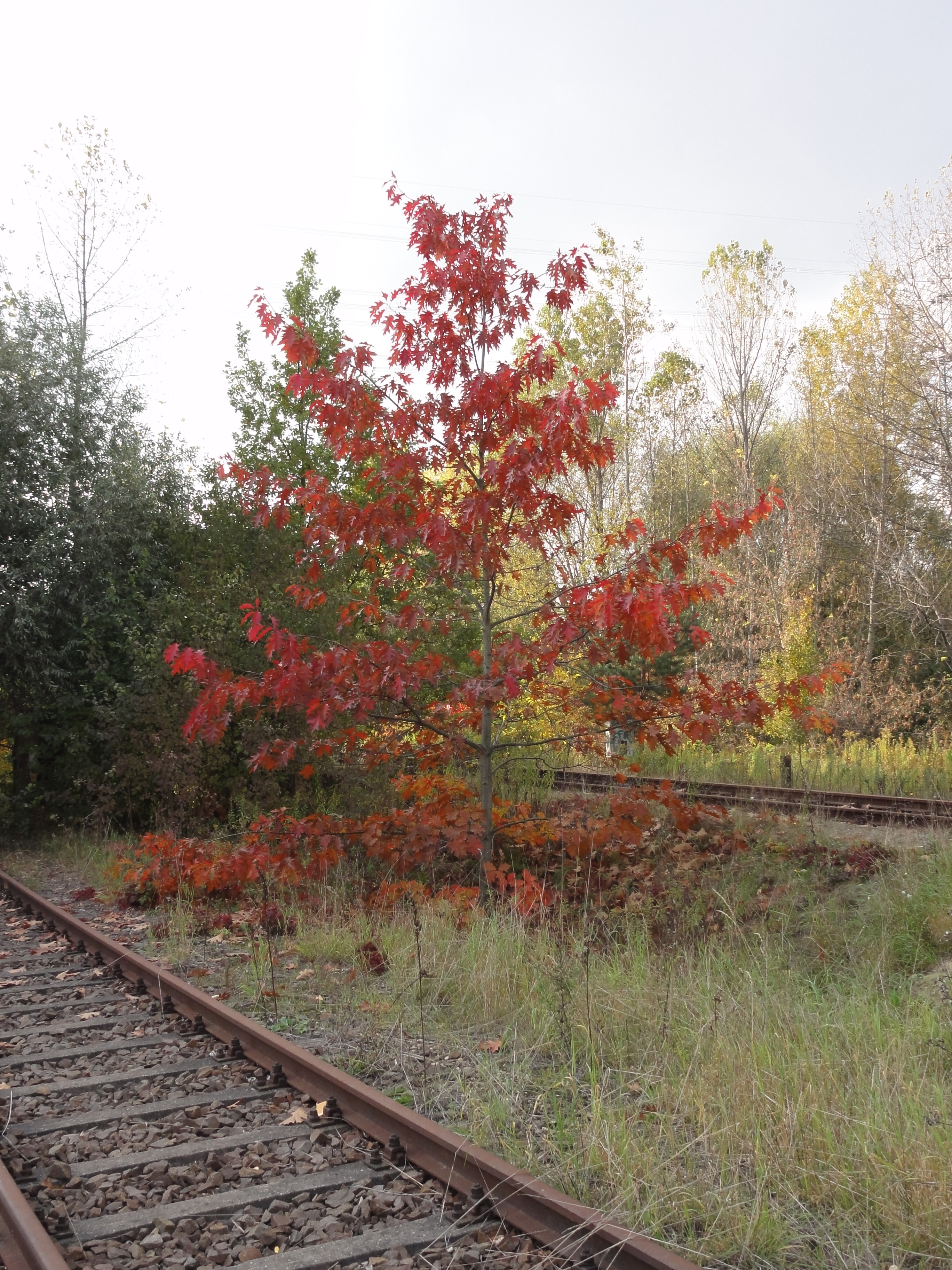
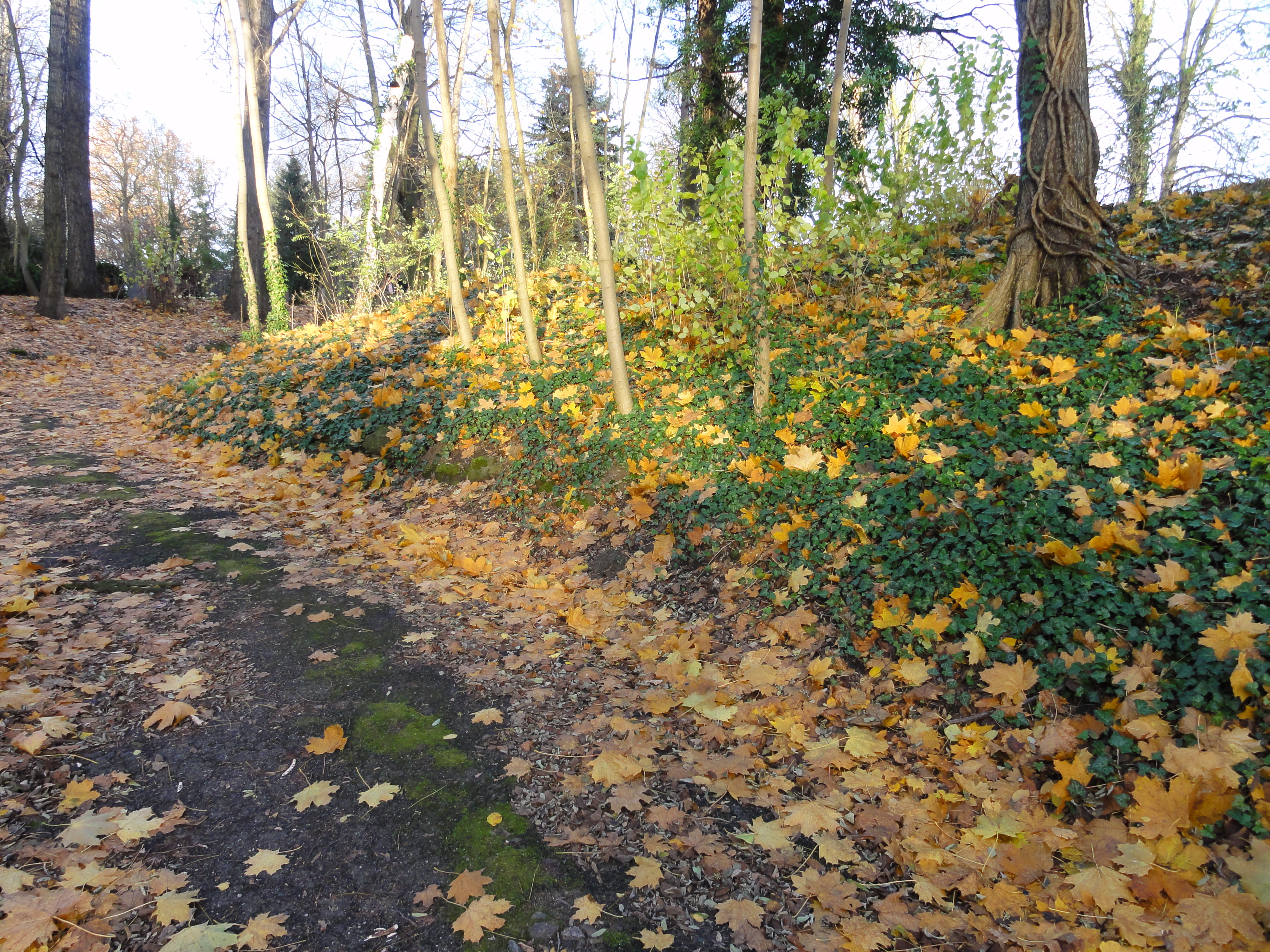
This is all old devastated railway ground. There are a lot ot these places in Berlin (as in the Ruhrgebiet!) and shows how important railwaying was in the early times of industry.
Nowadays it enlightens our heart with hidden floral beauties!

|
|
2010:10:17 14:59:26
71.25
°
©
ml
|

|
2010:10:17 14:59:48 177.75
°
©
ml
177.75
°
©
ml
|

|
2010:10:17 15:09:25 314.25
°
©
ml
314.25
°
©
ml
|
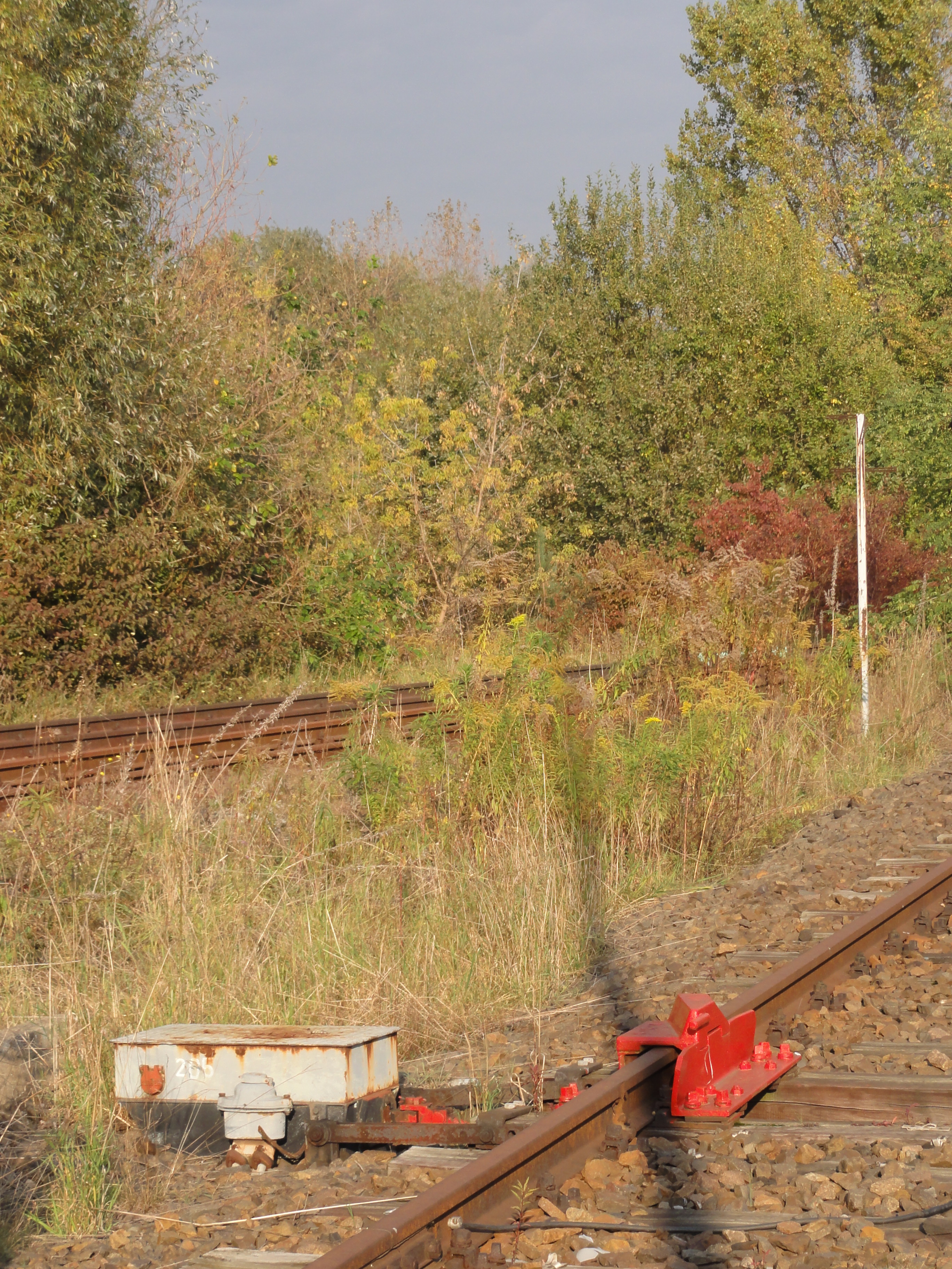
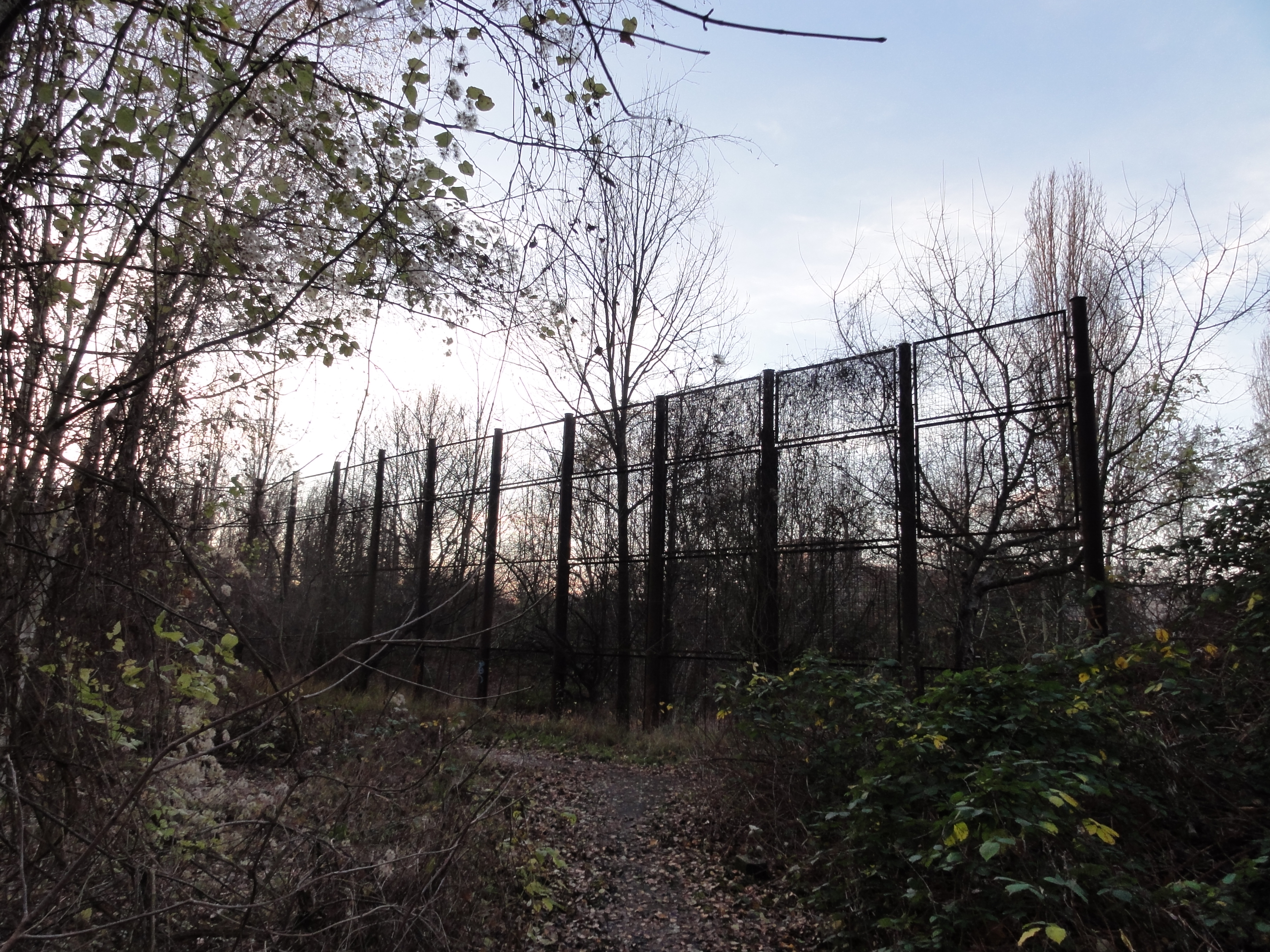
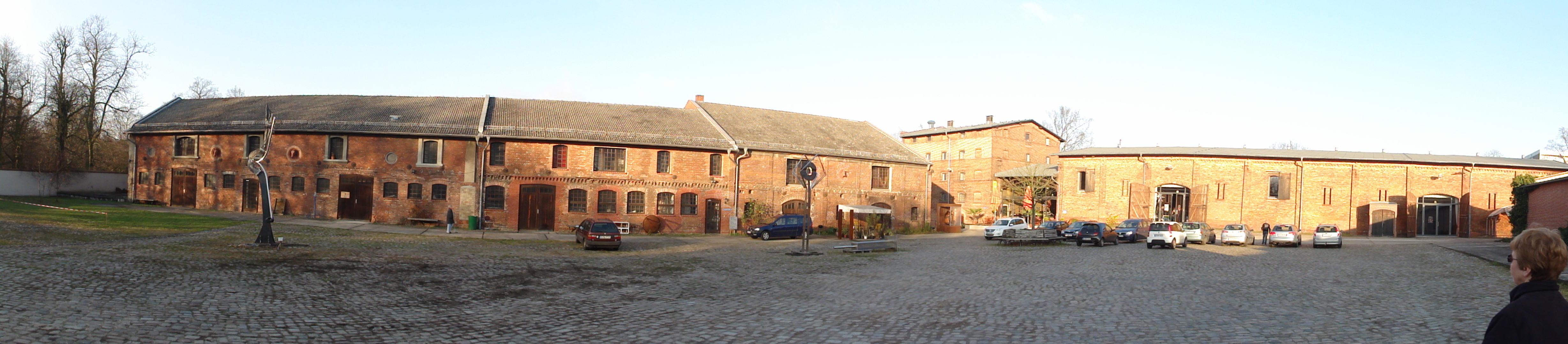
At its end, we have to climb the fence and come out at the Magerviehhof ("Meager Cattle Trading Ground").
|
2010:10:17 15:09:54
---
52 deg 30' 53.17" N, 13 deg 31' 30.65" E
 192.5
°
©
ml
192.5
°
©
ml
|
Turn to the west and you can enter the small seddling "Auf der Alm". Living here should be like Switzerland in the heart of the city!
|
2010:10:17 15:12:23
---
52 deg 30' 56.17" N, 13 deg 31' 28.46" E
 283.5
°
©
ml
283.5
°
©
ml
|
|
|
2010:10:17 15:12:52
---
52 deg 30' 56.40" N, 13 deg 31' 28.84" E
185.75
°
©
ml
|
Nowadays you can enter the Magerviehof without restrictions (up to last summer there wss a car trader on the premises!) Now we see the silos from the other side, approach them!
|
|
2010:10:17 15:14:38
---
52 deg 30' 55.77" N, 13 deg 31' 30.47" E
278
°
©
ml
|
|
2010:10:17 15:17:37
---
52 deg 30' 57.07" N, 13 deg 31' 25.49" E
 241.25
°
©
ml
241.25
°
©
ml
|
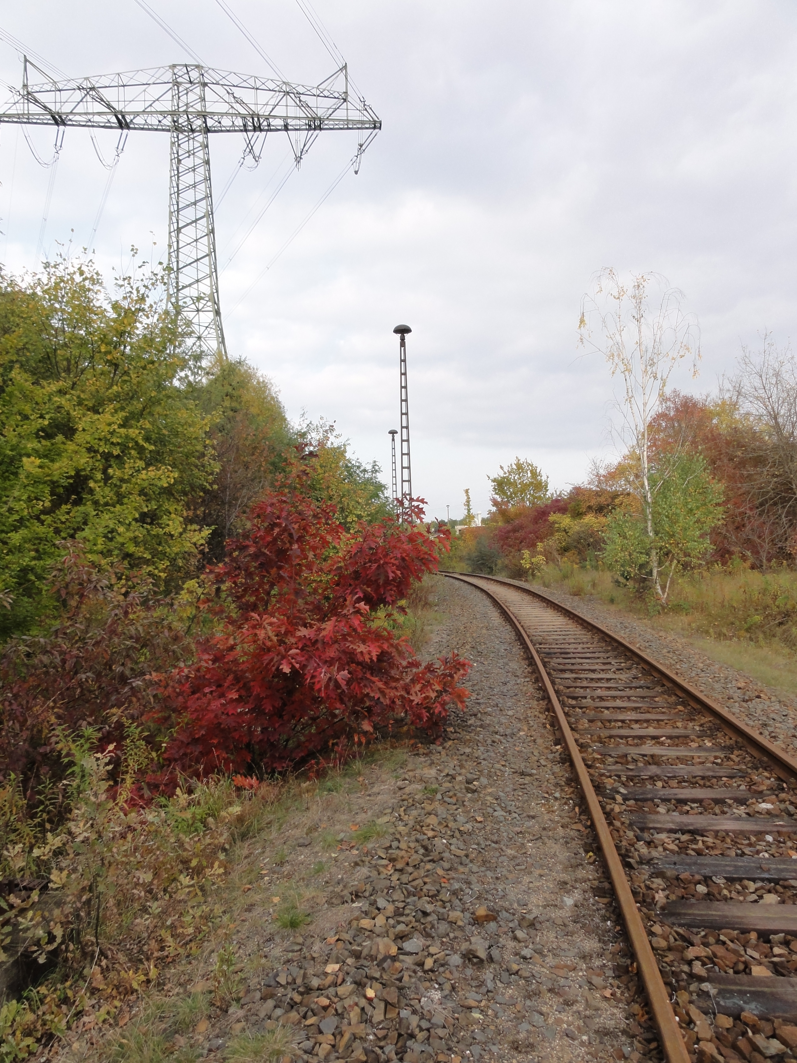
Then follow the railway north!
(ATTENTION, parts are still in use! So one
of you should look BACK every three seconds!)
|
2010:10:17 15:29:51
---
52 deg 30' 59.68" N, 13 deg 31' 26.04" E
 337.75
°
©
ml
337.75
°
©
ml
|

|
2010:10:17 15:33:16
---
52 deg 31' 29.45" N, 13 deg 31' 32.12" E
 38.75
°
©
ml
38.75
°
©
ml
|
This is the "Arbeitsamt von hinten":
|
|
2010:10:17 15:36:20
---
52 deg 31' 30.88" N, 13 deg 31' 32.34" E
98.25
°
©
ml
|
|
2010:10:17 15:44:28
---
52 deg 31' 39.25" N, 13 deg 31' 34.07" E
 58.25
°
©
ml
58.25
°
©
ml
|
|
|
2010:10:17 15:51:26
---
52 deg 31' 46.00" N, 13 deg 31' 33.13" E
270.75
°
©
ml
|
|
|
2010:10:17 15:51:41
---
52 deg 31' 51.49" N, 13 deg 31' 40.69" E
47.75
°
©
ml
|
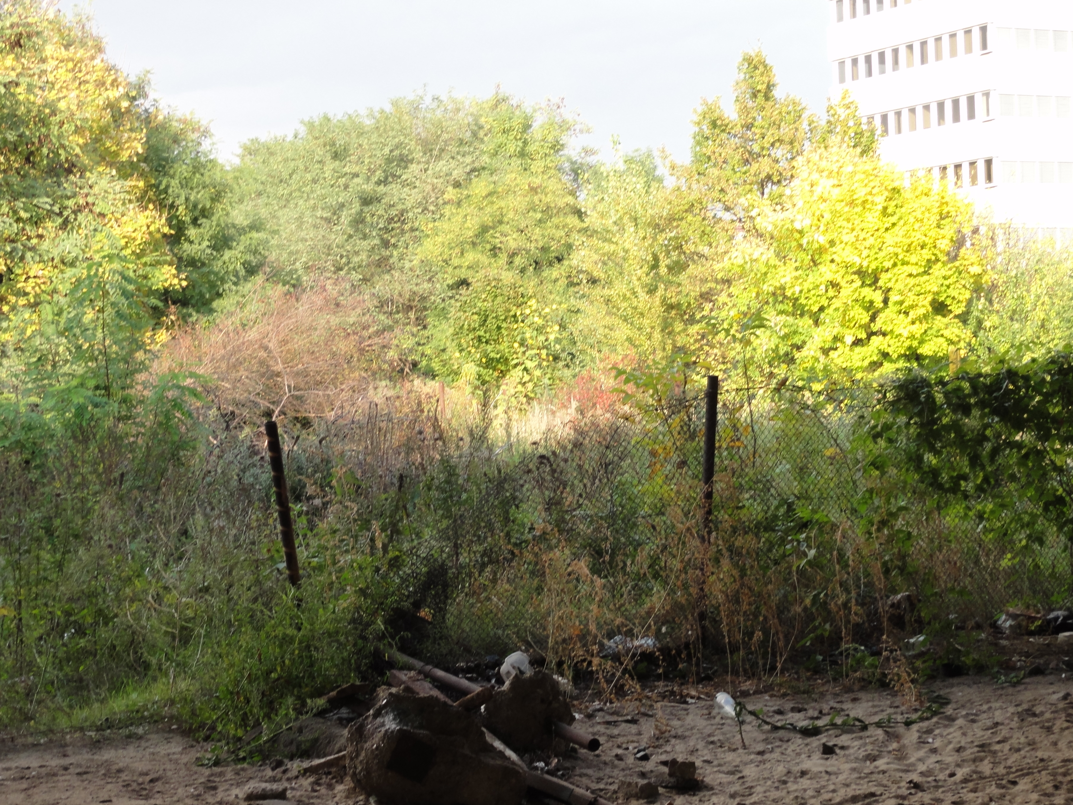
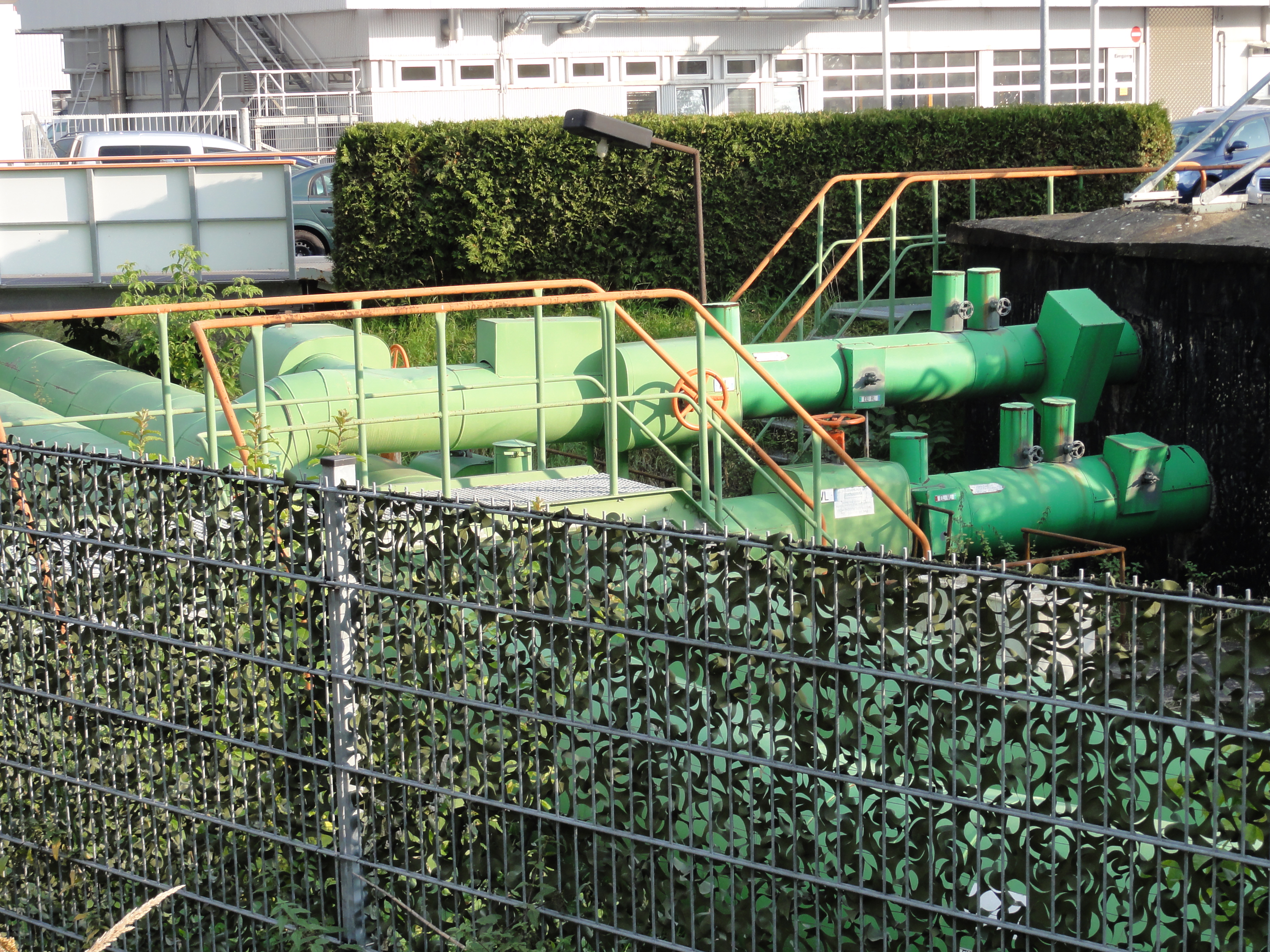
This is the water supply junction at the end of the Gewerbegebiet
"Beilsteiner Str."
Please note that the humble author of these lines
sacrified HOURS of exhausting marches under Berlin's burning summer sun
for finalliy finding out that there is NO access to this beautifil area from
the official streets.
|
2010:10:17 15:55:35
---
52 deg 31' 54.08" N, 13 deg 31' 50.17" E
 126.75
°
©
ml
126.75
°
©
ml
|
Follow the railway further north. You are approaching the Orwo-Platte in the Frank-Zappa-Street. Just feel the noize and you are rite!

|
|
2010:10:17 16:01:25
---
52 deg 32' 0.43" N, 13 deg 31' 58.74" E
291.5
°
©
ml
|
Marzahn/Springpfuhl makes up the horizon:

|
|
2010:10:17 16:02:04
---
52 deg 32' 1.34" N, 13 deg 31' 59.03" E
105.5
°
©
ml
|
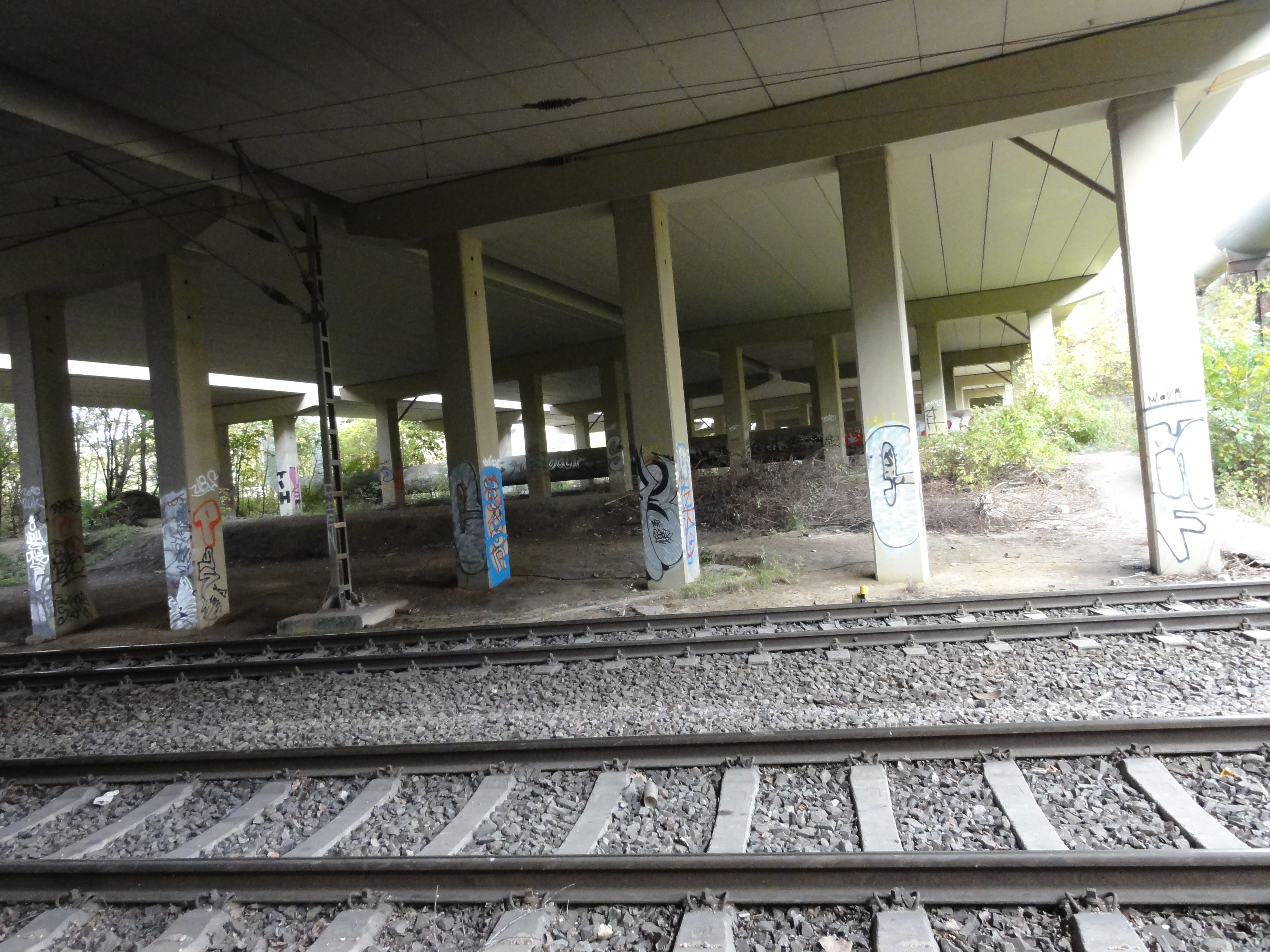
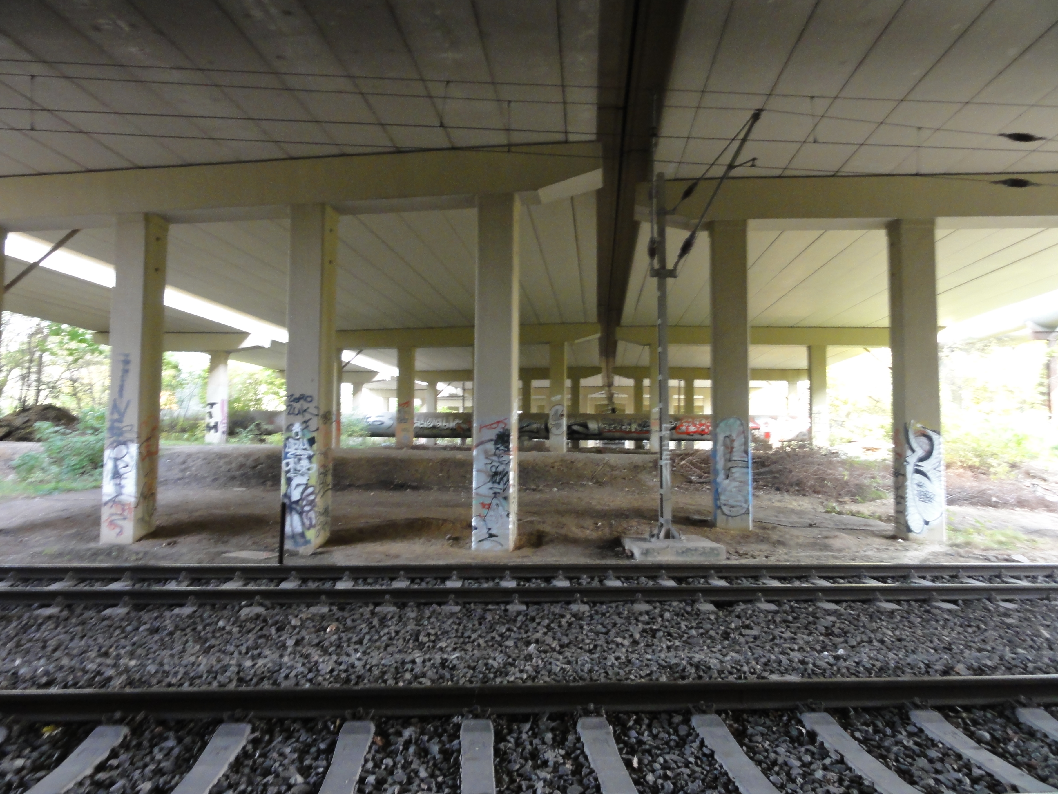
UNDER the Landsberger Alle (Beware, it's illegal again, and it's dangerous!
But it's great!)
|
|
2010:10:17 16:12:49
---
52 deg 32' 1.43" N, 13 deg 31' 59.04" E
30
°
©
ml
|
|
|
2010:10:17 16:16:41
---
52 deg 32' 1.43" N, 13 deg 31' 59.04" E
49.25
°
©
ml
|
|
|
2010:10:17 16:16:51
---
52 deg 32' 1.43" N, 13 deg 31' 59.04" E
58.5
°
©
ml
|
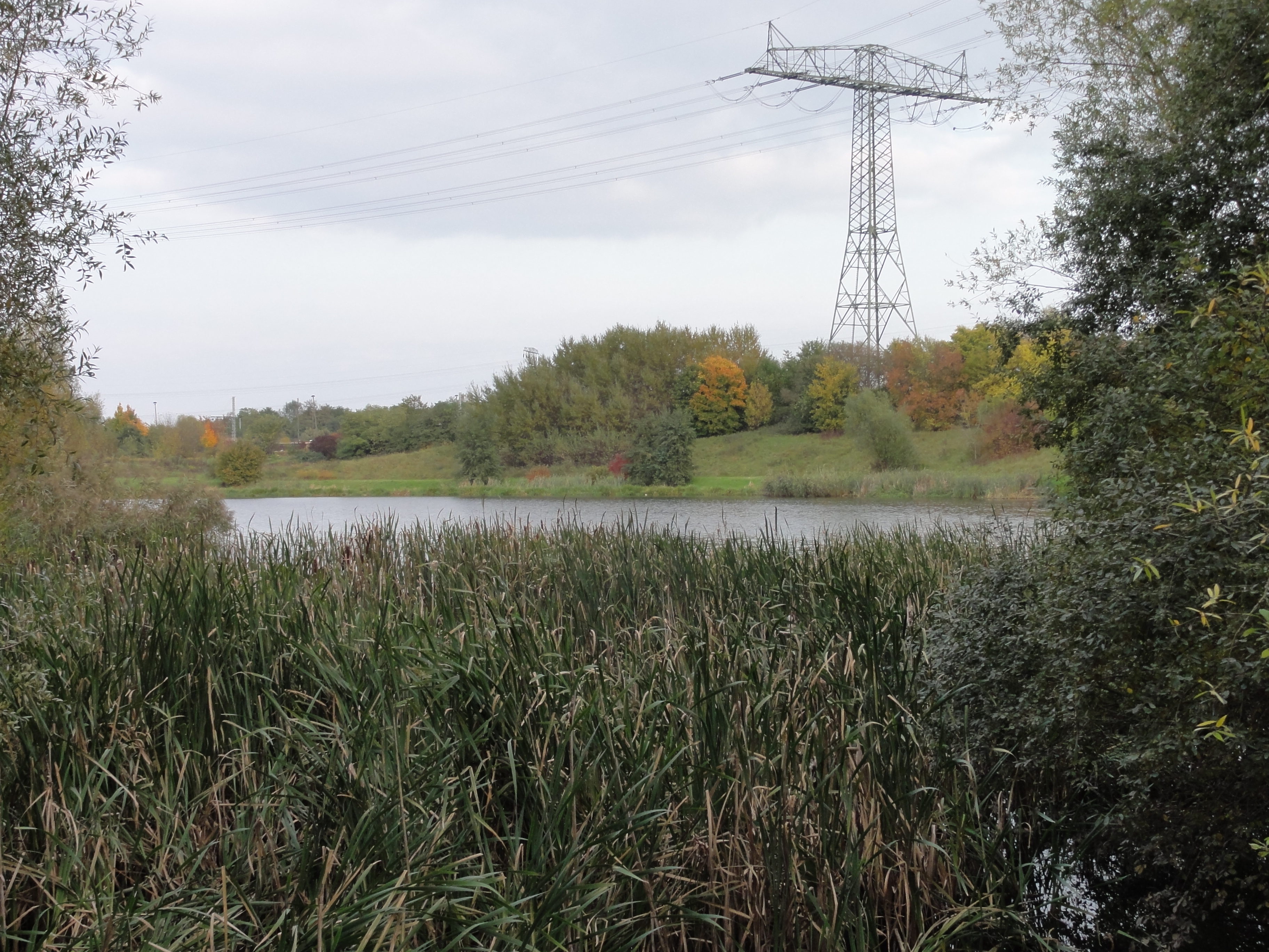
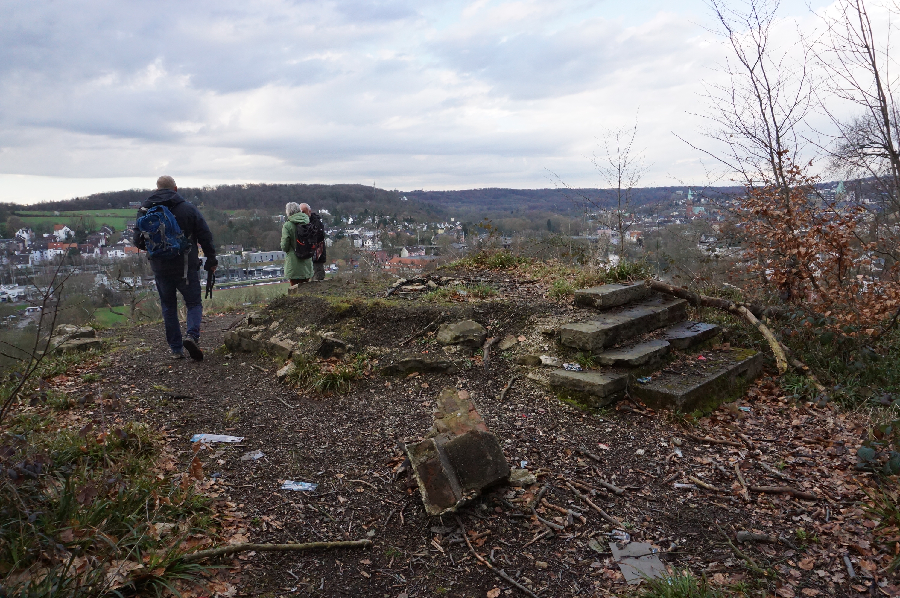
Follow left the curve to the left (be careful, to the right there is much traffic, and EVEN HERE the old rails are sometimes used for PARKING a loc!) Then you will reach the PAPENPFUHL, one of the nicest places here in Hohenschönhausen! Hardly anyone knows, so there is no litter.
|
|
2010:10:17 16:26:17
---
52 deg 32' 18.38" N, 13 deg 31' 41.87" E
30.75
°
©
ml
|
|
|
2010:10:17 16:29:23
---
52 deg 32' 17.08" N, 13 deg 31' 36.25" E
289
°
©
ml
|
|
|
2010:10:17 16:35:05
---
52 deg 32' 17.87" N, 13 deg 31' 31.43" E
128
°
©
ml
|

|
|
2010:10:17 16:57:41
---
52 deg 32' 33.32" N, 13 deg 30' 38.46" E
336.75
°
©
ml
|
|
|
2010:10:17 16:57:52
---
52 deg 32' 33.91" N, 13 deg 30' 38.67" E
332.5
°
©
ml
|
|
|
2010:10:17 16:58:07
---
52 deg 32' 33.98" N, 13 deg 30' 38.45" E
314.5
°
©
ml
|
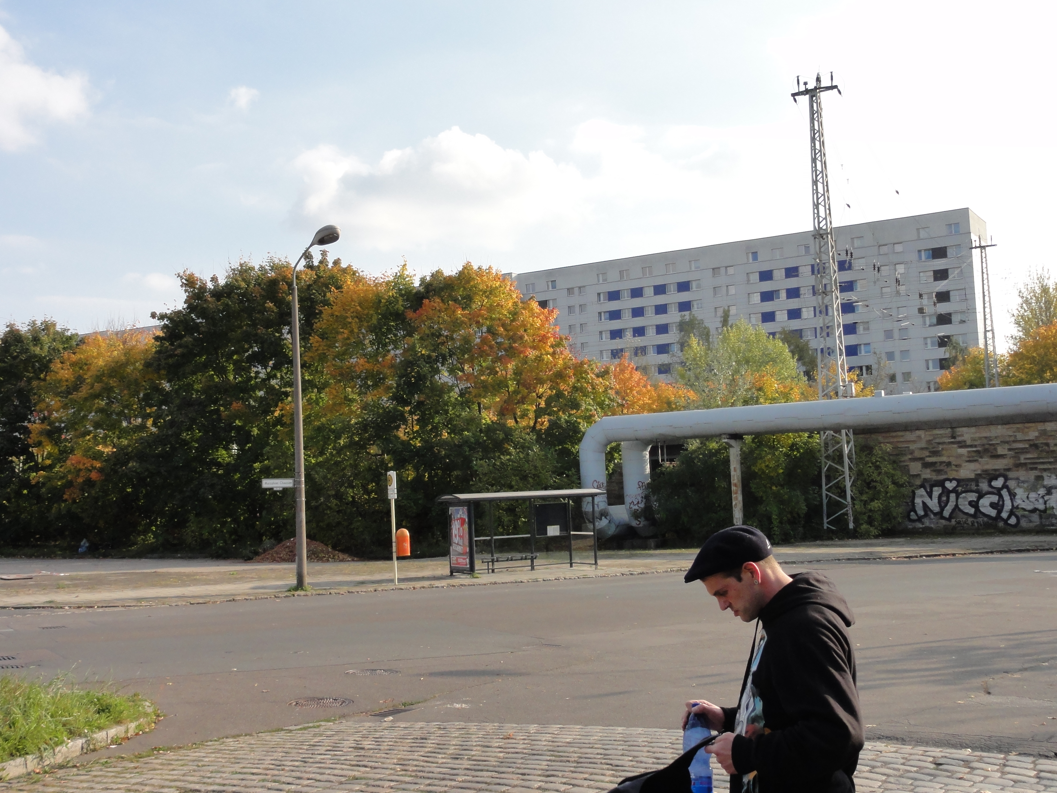
If you'r clever enough to find the outgoing railway, you can follow it and end up at Gärtnerstraße and visit the SED-concentration-camp.
If not, you have to find the TRAM-stop (just follow the
noize from the Orwo-Platte!) This is much more convenient.
Good luck, and remember (1) watch your steps, and (2) don't worry, it
doesn't look like, but you'r in the middle of civilisation!
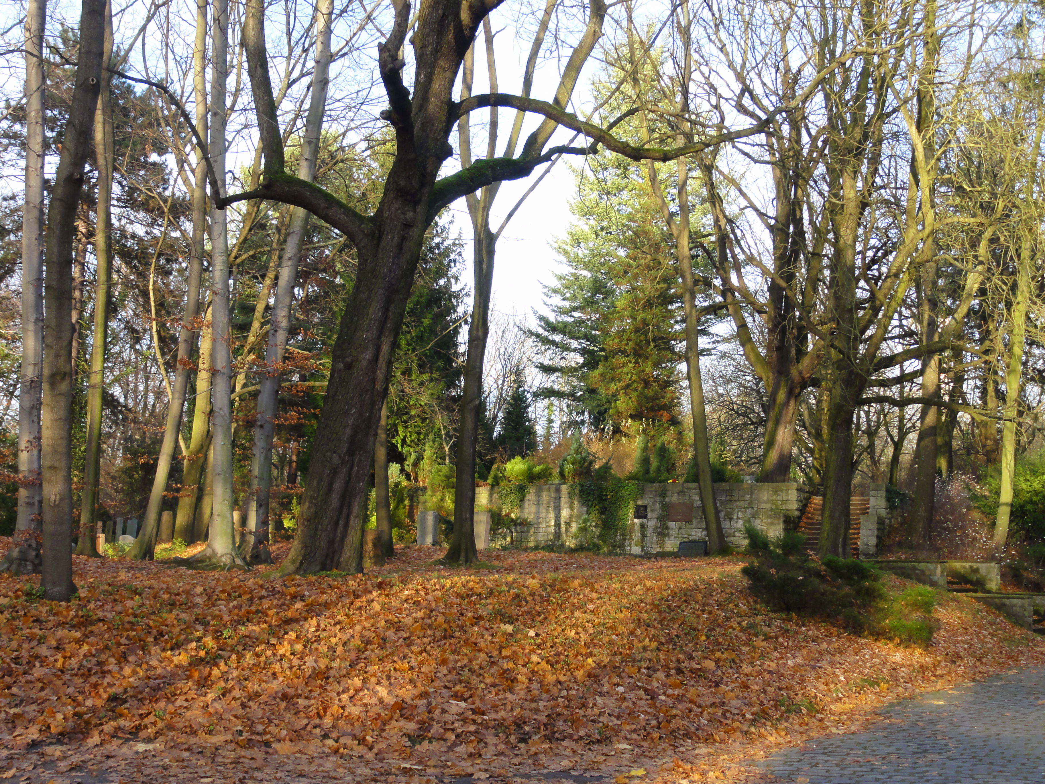
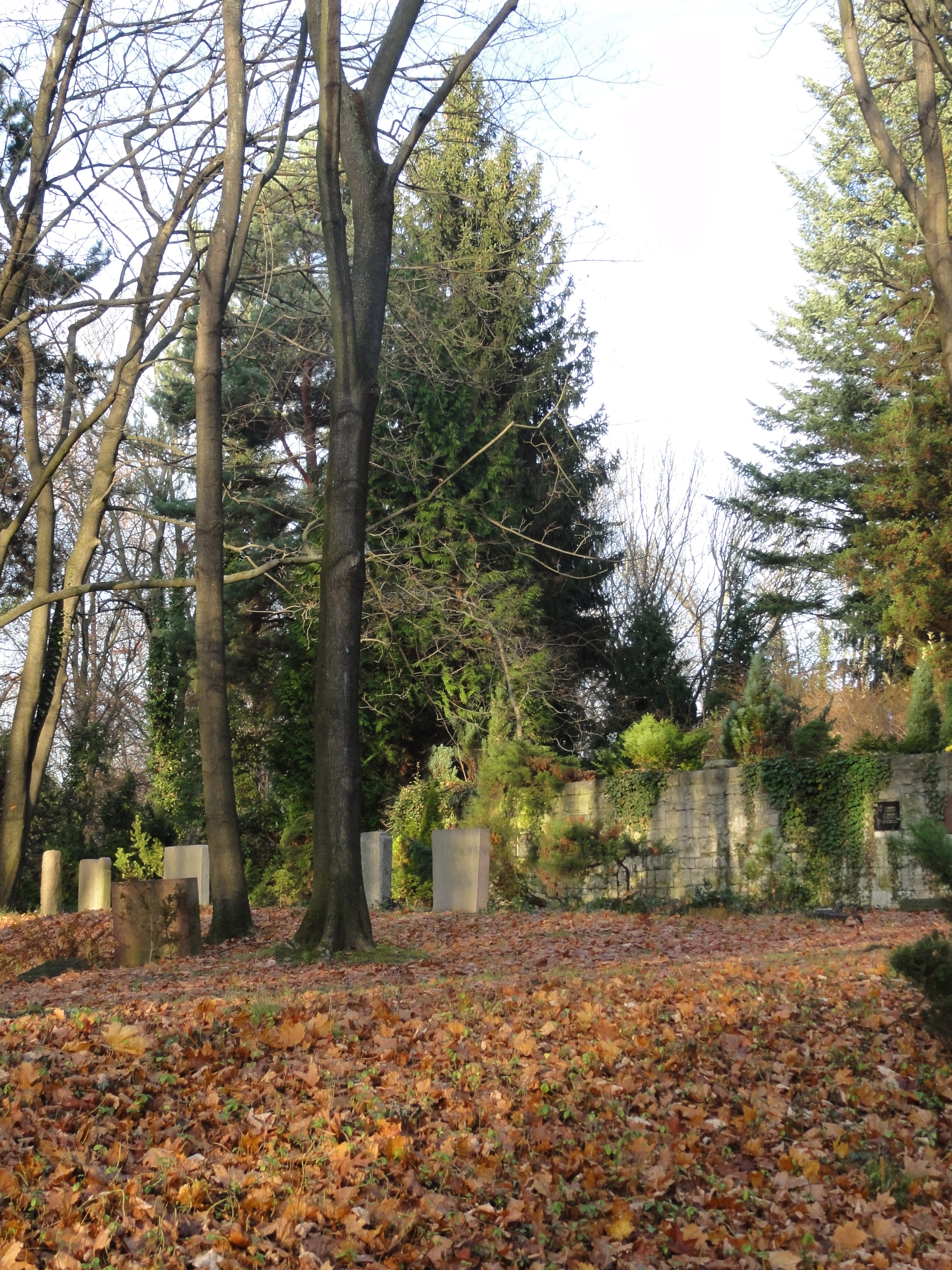
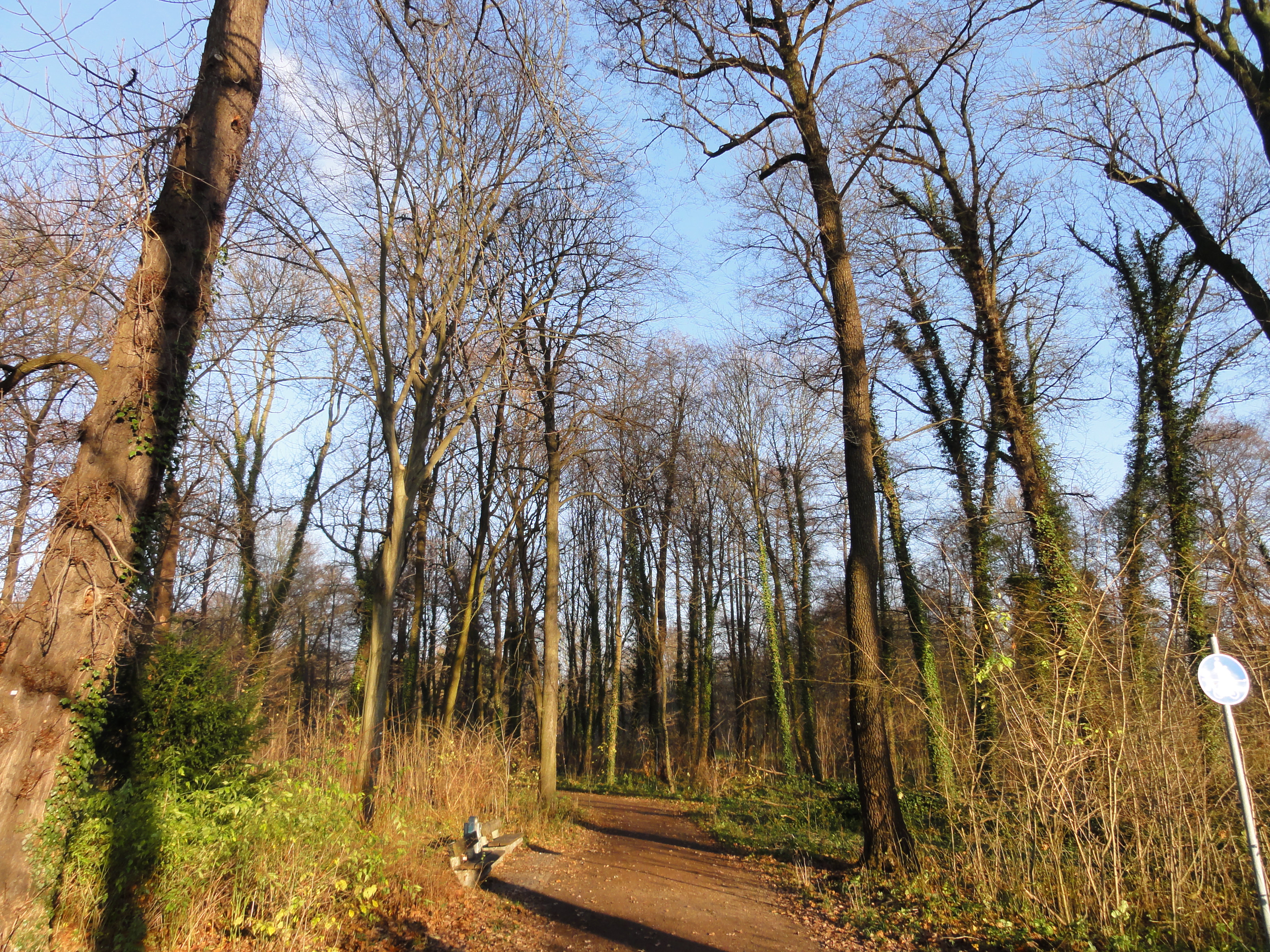
Starting from Lichtenberg S-Bahn, we walk north the railway eastward, follow the Gudrunstraße, and reach the Zentralfriedhof Friedrichsfelde.
|
2010:11:14 16:06:48
---
52 deg 30' 30.54" N, 13 deg 27' 4.85" E
 8.25
°
©
ml
8.25
°
©
ml
|
|
|
2010:11:14 16:07:18
---
52 deg 30' 30.54" N, 13 deg 27' 4.85" E
357
°
©
ml
|
|
|
2010:11:14 16:07:46
---
52 deg 30' 30.54" N, 13 deg 27' 4.85" E
92
°
©
ml
|
|
|
2010:11:14 16:09:44
---
52 deg 30' 30.54" N, 13 deg 27' 4.85" E
38.75
°
©
ml
|
|
|
2010:11:14 16:19:23
---
52 deg 31' 3.64" N, 13 deg 30' 51.44" E
287.75
°
©
ml
|
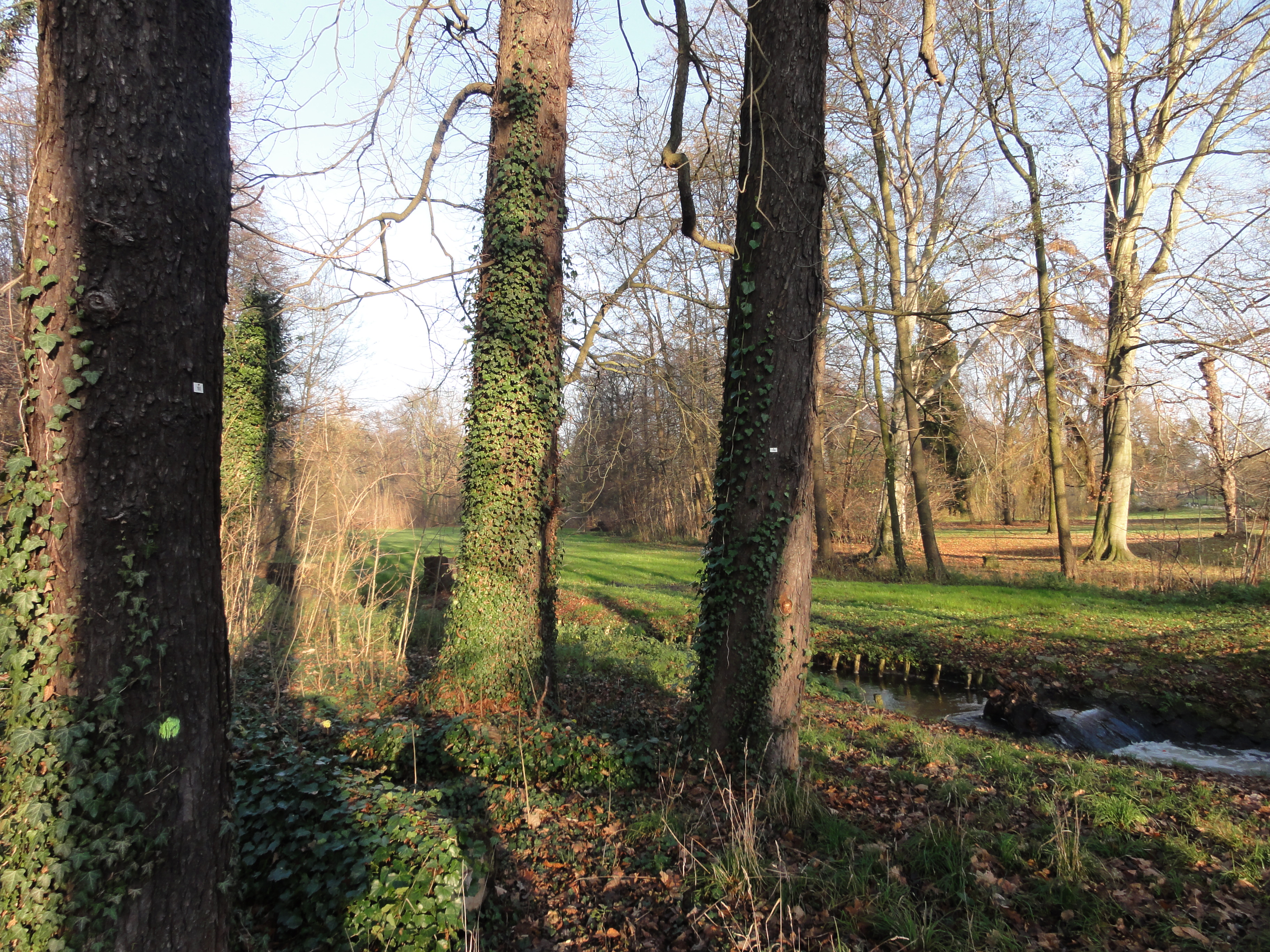
At its west border there is a gate in the fence where you can reach the premises of the old GÄRTNEREI. (But you have to climb over the fence, and there is a more legal way further north!-)
Anyhow, the old Gartenbau is now part of the upcoming "Landschaftspark Herzberge" and wilderness is rapidly retreating!
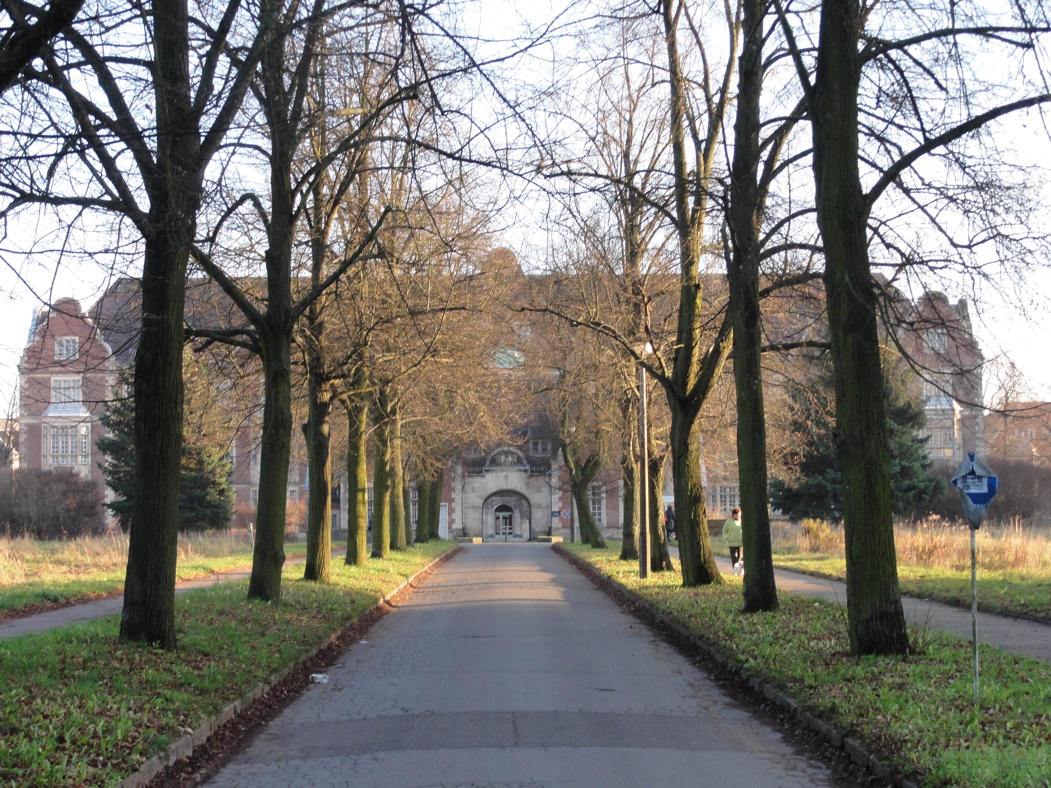
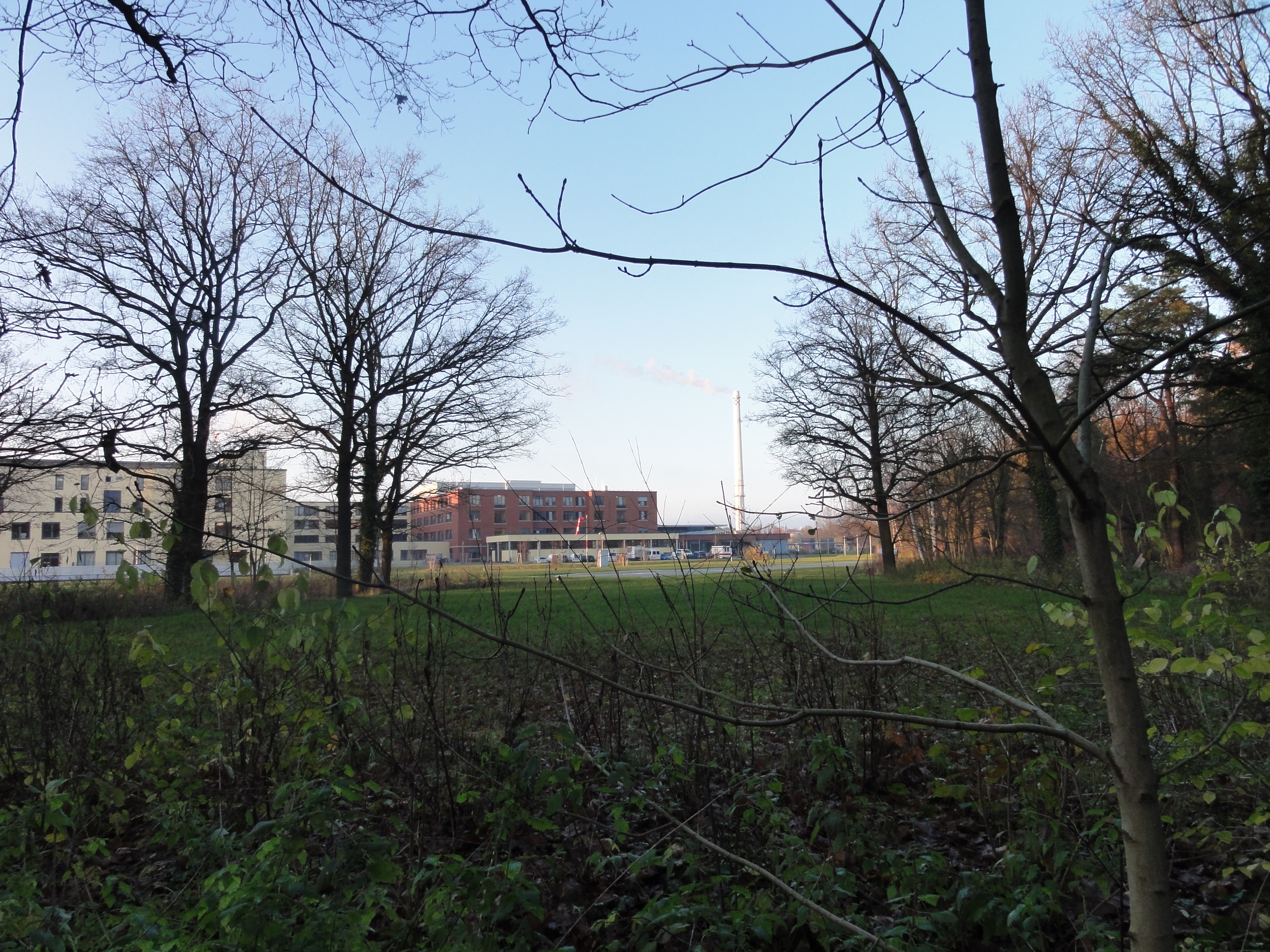
In the heart of the (now vanishing) wilderness laid the "Evangelisches Krankenhaus Königin Elisabeth Herzberge", or "K-E-H".
|
|
2010:11:14 16:44:41
---
52 deg 31' 27.50" N, 13 deg 30' 32.03" E
352.5
°
©
ml
|
|
|
2010:11:14 16:47:15
---
52 deg 31' 33.81" N, 13 deg 30' 30.30" E
10.75
°
©
ml
|
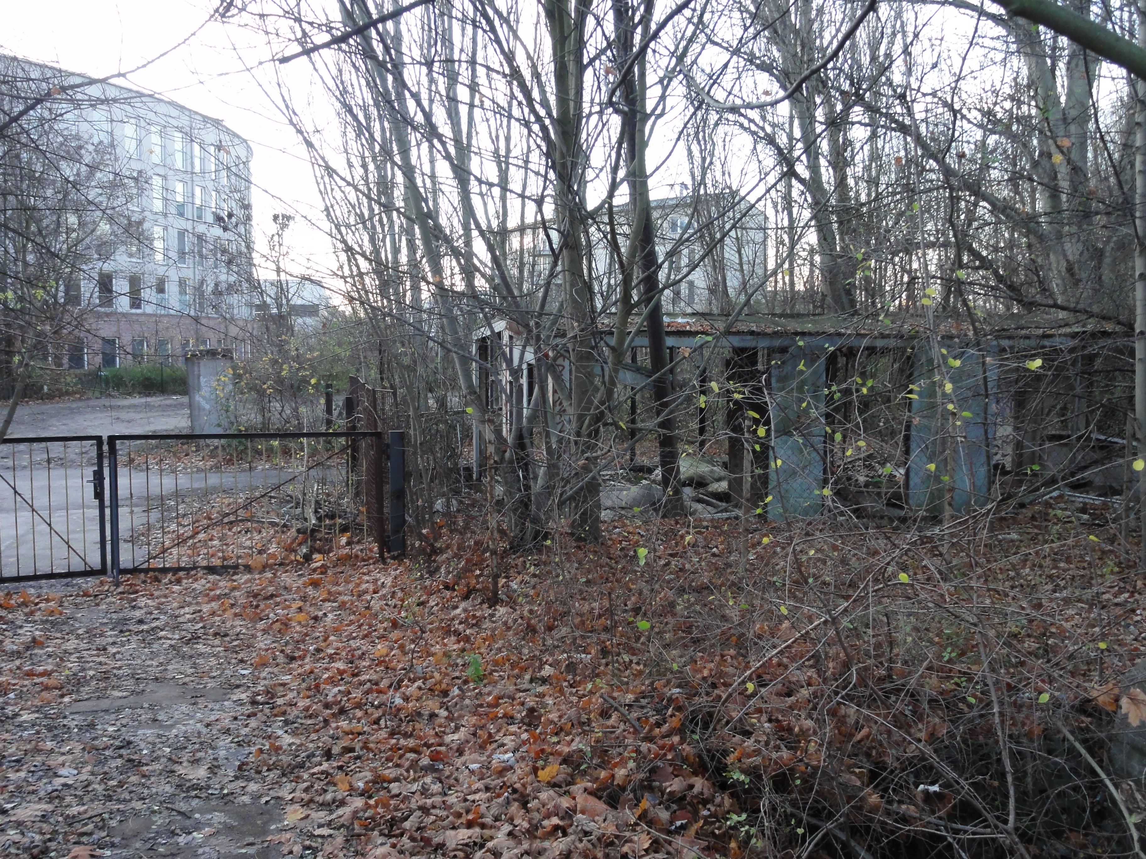
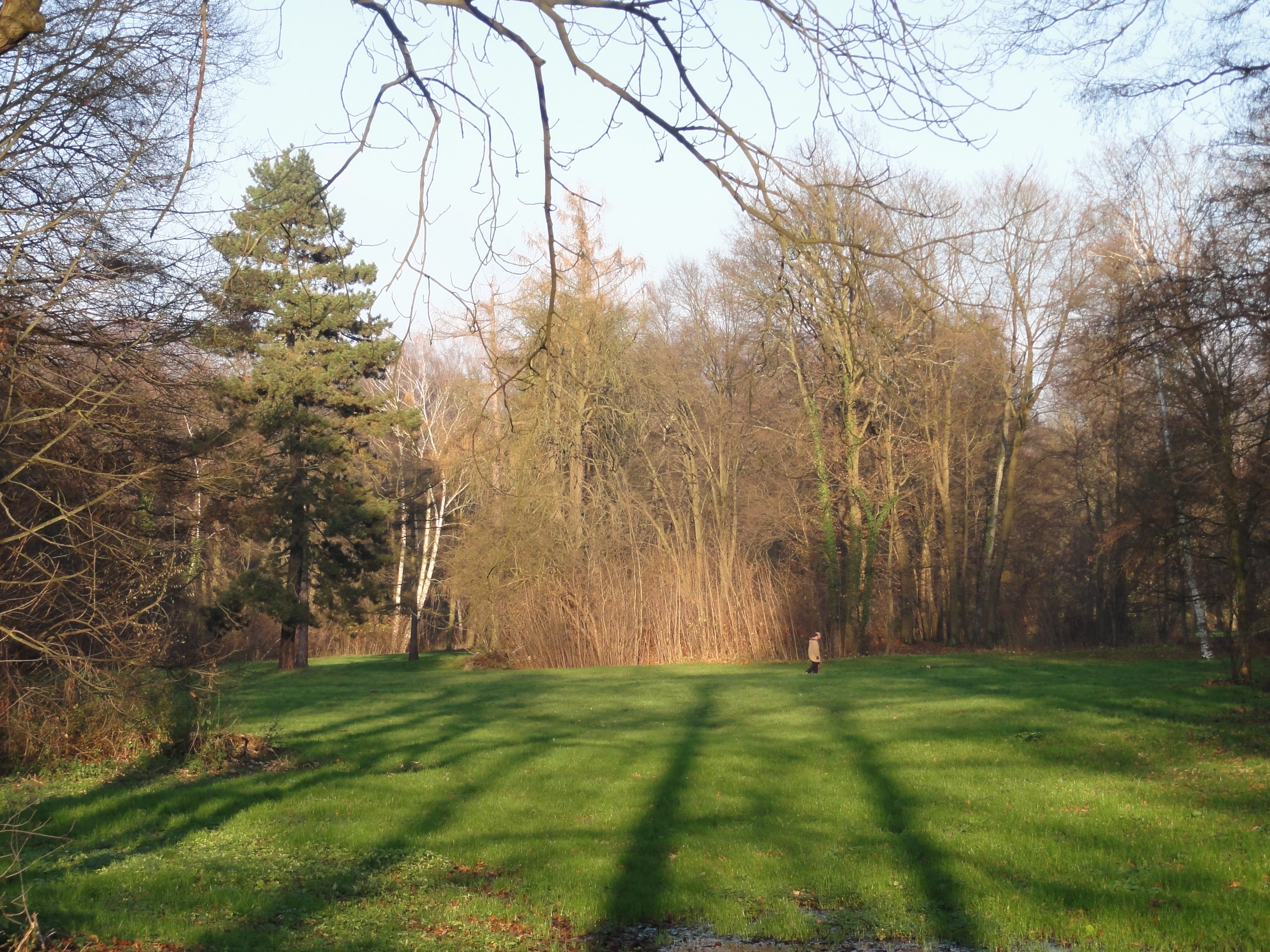
But behind its immediately getting wild again: an old STADIUM which is deserted since 40 years. Now they started to build a paved street, but for a long time THIS BUILDING on the parking lot of KEH was the ONLY entrance from this side:
|
|
2010:11:14 16:58:29
---
52 deg 31' 39.96" N, 13 deg 30' 16.60" E
132.75
°
©
ml
|
|
|
2010:11:14 16:58:22
---
52 deg 31' 39.78" N, 13 deg 30' 16.65" E
161.25
°
©
ml
|
|
|
2010:11:14 16:59:15
---
52 deg 31' 39.93" N, 13 deg 30' 15.43" E
129.25
°
©
ml
|
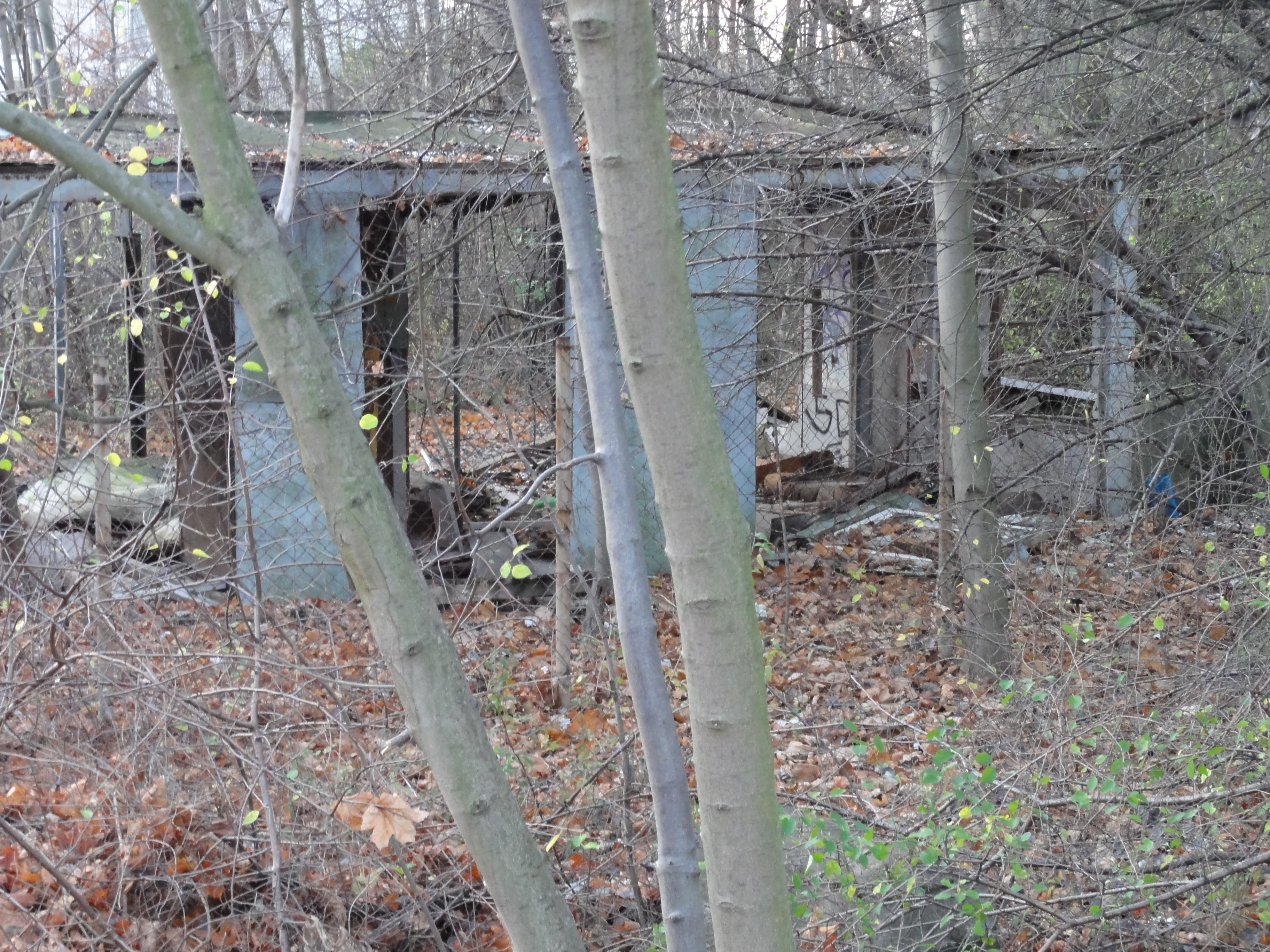
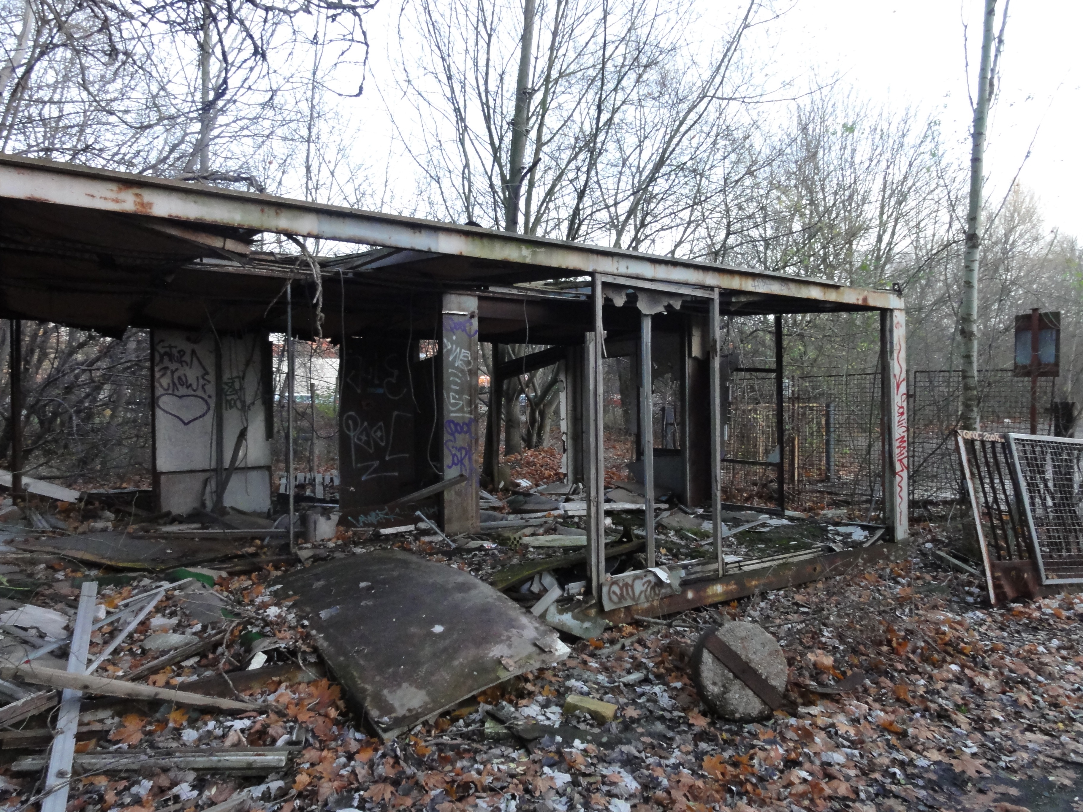
This is the heart of darkness, the deserted stadium:
|
|
2010:11:14 17:06:59
---
52 deg 31' 39.93" N, 13 deg 30' 15.43" E
239.5
°
©
ml
|
|
2010:11:14 17:07:08
---
52 deg 31' 52.22" N, 13 deg 30' 14.82" E
 259.25
°
©
ml
259.25
°
©
ml
|
|
|
2010:11:14 17:07:36
---
52 deg 31' 52.69" N, 13 deg 30' 14.45" E
339.75
°
©
ml
|
|
|
2010:11:14 17:10:16
---
52 deg 31' 54.73" N, 13 deg 30' 22.38" E
113.5
°
©
ml
|
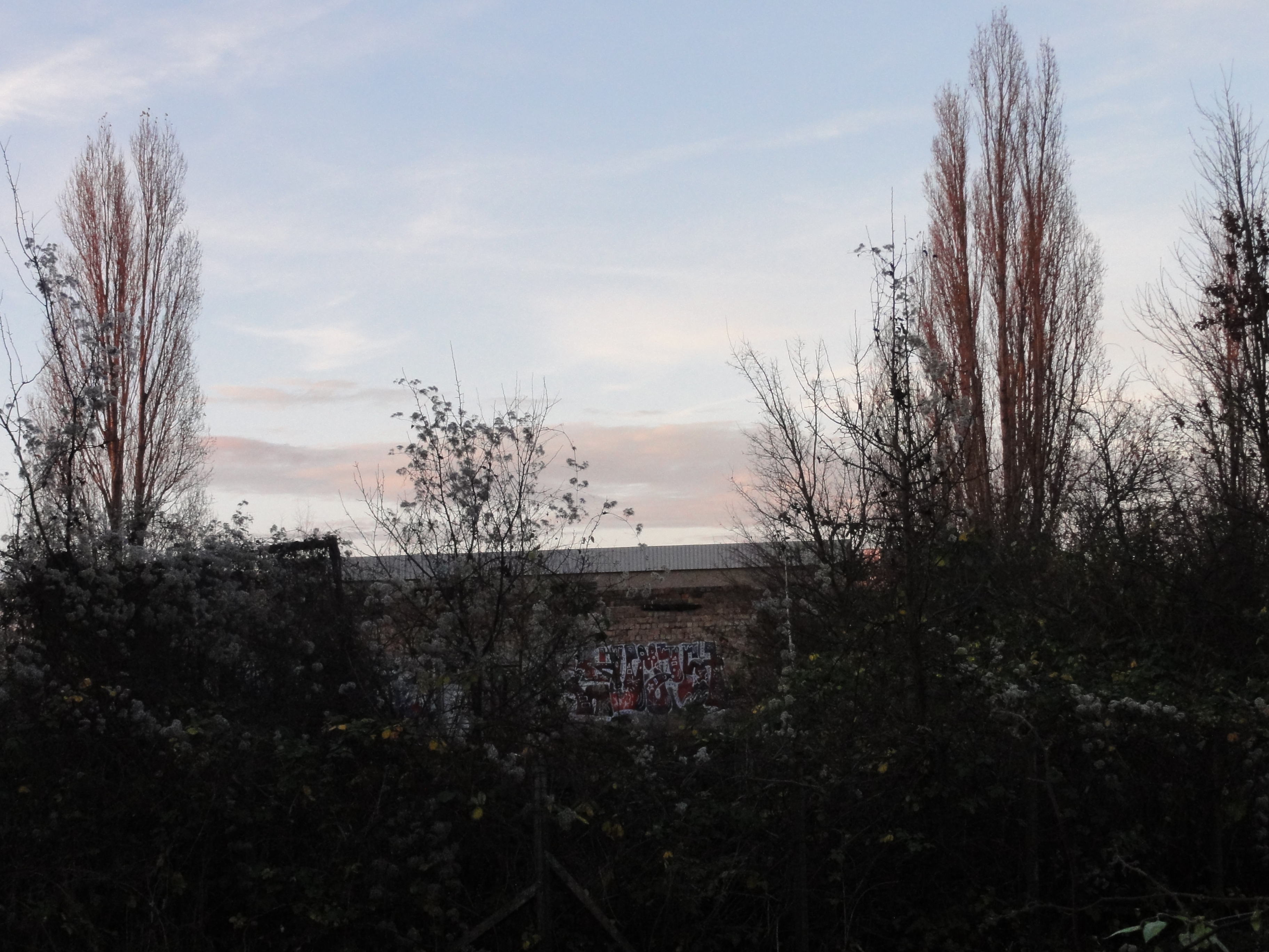
Approaching its nothern border, we approach Landsberger Alle and civilisation again!

|
|
2010:11:14 17:10:33
---
52 deg 31' 54.94" N, 13 deg 30' 22.34" E
33.5
°
©
ml
|
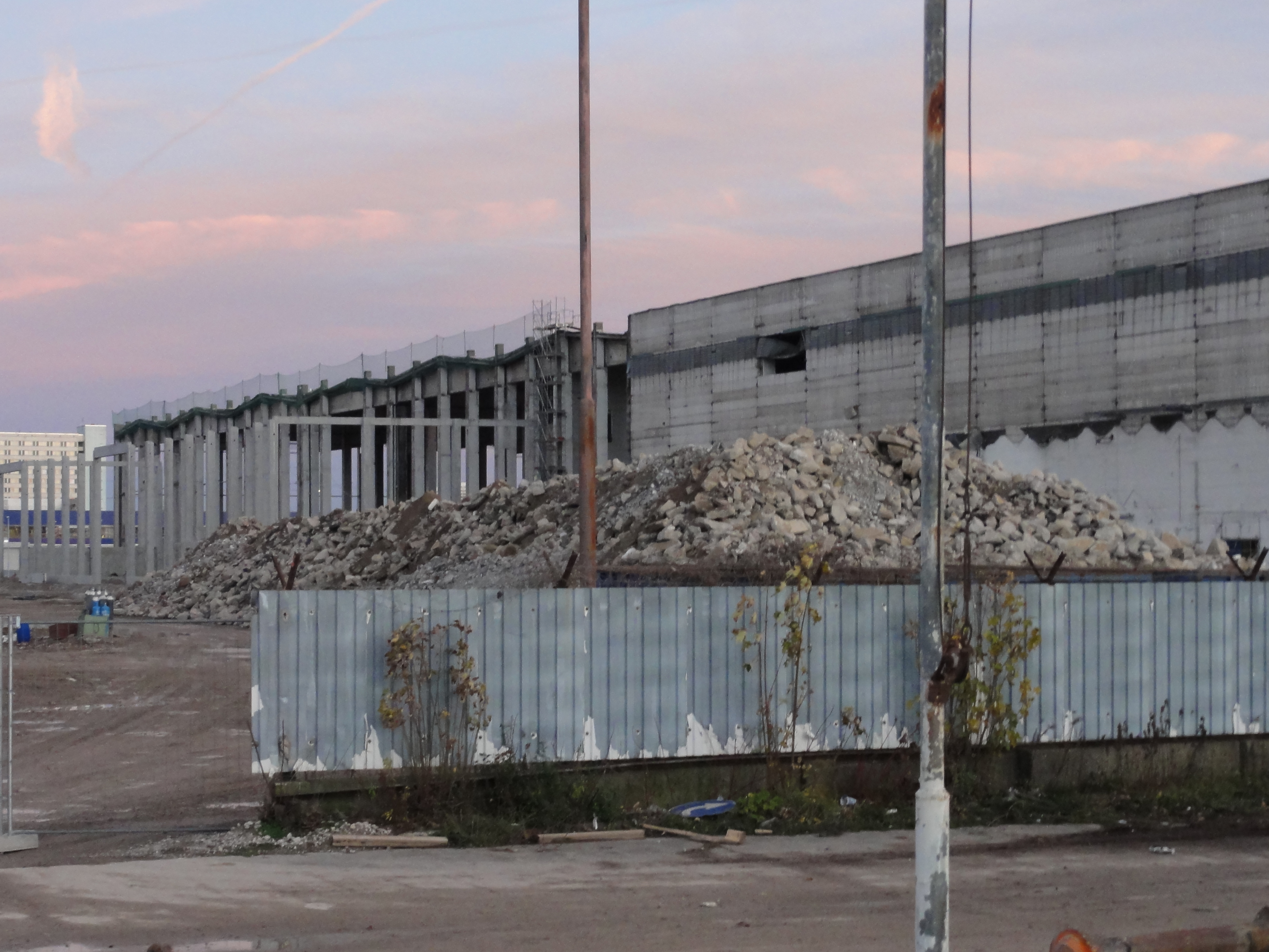
Here there were huge storage halls of the GDR trading companies. Now, after twenty years, they are demolished and you can admire the gigantic dimensions!
|
|
2010:11:14 17:18:16
---
52 deg 32' 0.28" N, 13 deg 30' 21.28" E
71.5
°
©
ml
|
|
|
2010:11:14 17:18:33
---
52 deg 32' 0.66" N, 13 deg 30' 20.81" E
132.5
°
©
ml
|
|
|
2010:11:14 17:18:44
---
52 deg 32' 0.60" N, 13 deg 30' 20.96" E
113
°
©
ml
|
|
|
2010:11:14 17:20:45
---
52 deg 32' 2.42" N, 13 deg 30' 21.04" E
87.75
°
©
ml
|
|
|
2010:11:14 17:20:39
---
52 deg 32' 2.41" N, 13 deg 30' 21.03" E
65.25
°
©
ml
|
Walking around in BUCH you will see the famous HEIL-ANSTALT (a word
which nowadays can make you feel REALLY sick !-), the lovely park, which is
enlived by the PANKE crossing it, and the KÜNSTLERHOF. All of them are
worth visiting.
(This is, as an exception, a tour which is NOT
exhausting and also fits for fifty-plus !-)
|
|
2010:11:21 14:22:05
47.25
°
©
ml
|
|
|
2010:11:21 14:23:03
---
52 deg 38' 9.46" N, 13 deg 29' 41.78" E
11
°
©
ml
|
|
|
2010:11:21 14:23:32
---
52 deg 38' 9.39" N, 13 deg 29' 42.26" E
0.25
°
©
ml
|
This is the "Künstlerhof" (artists' premises):
|
|
2010:11:21 14:32:31
---
52 deg 38' 9.84" N, 13 deg 29' 59.78" E
353.5
°
©
ml
|
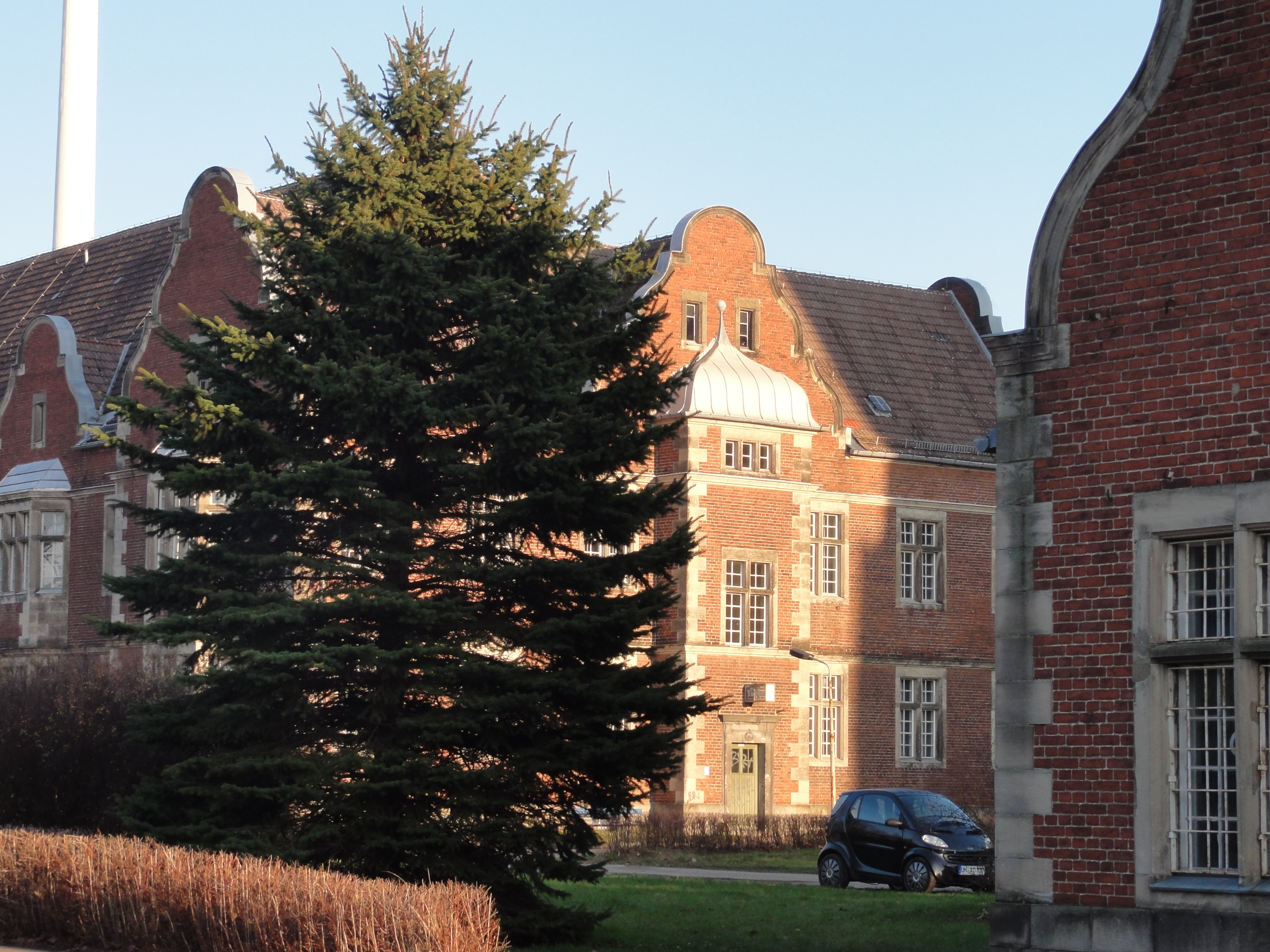
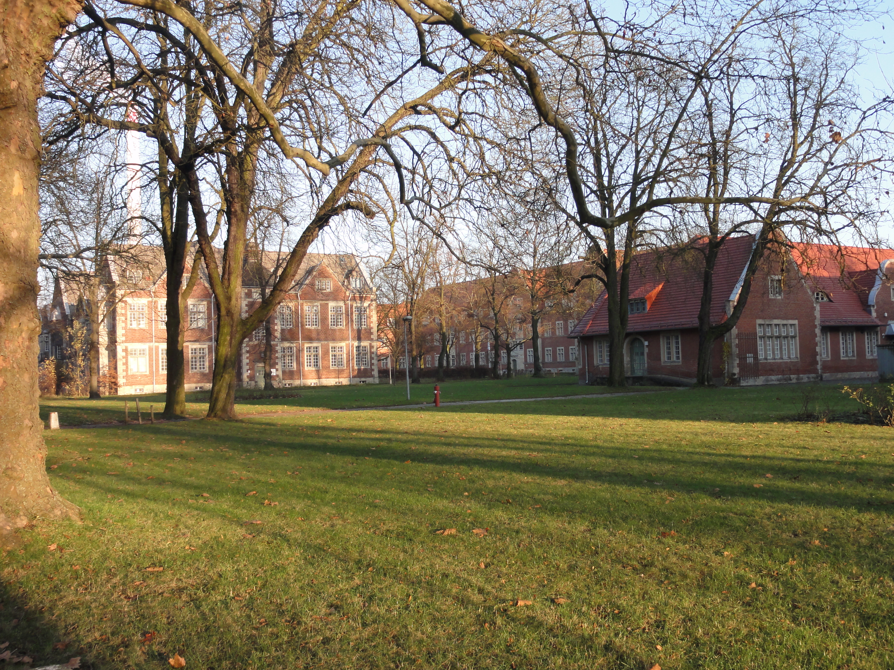
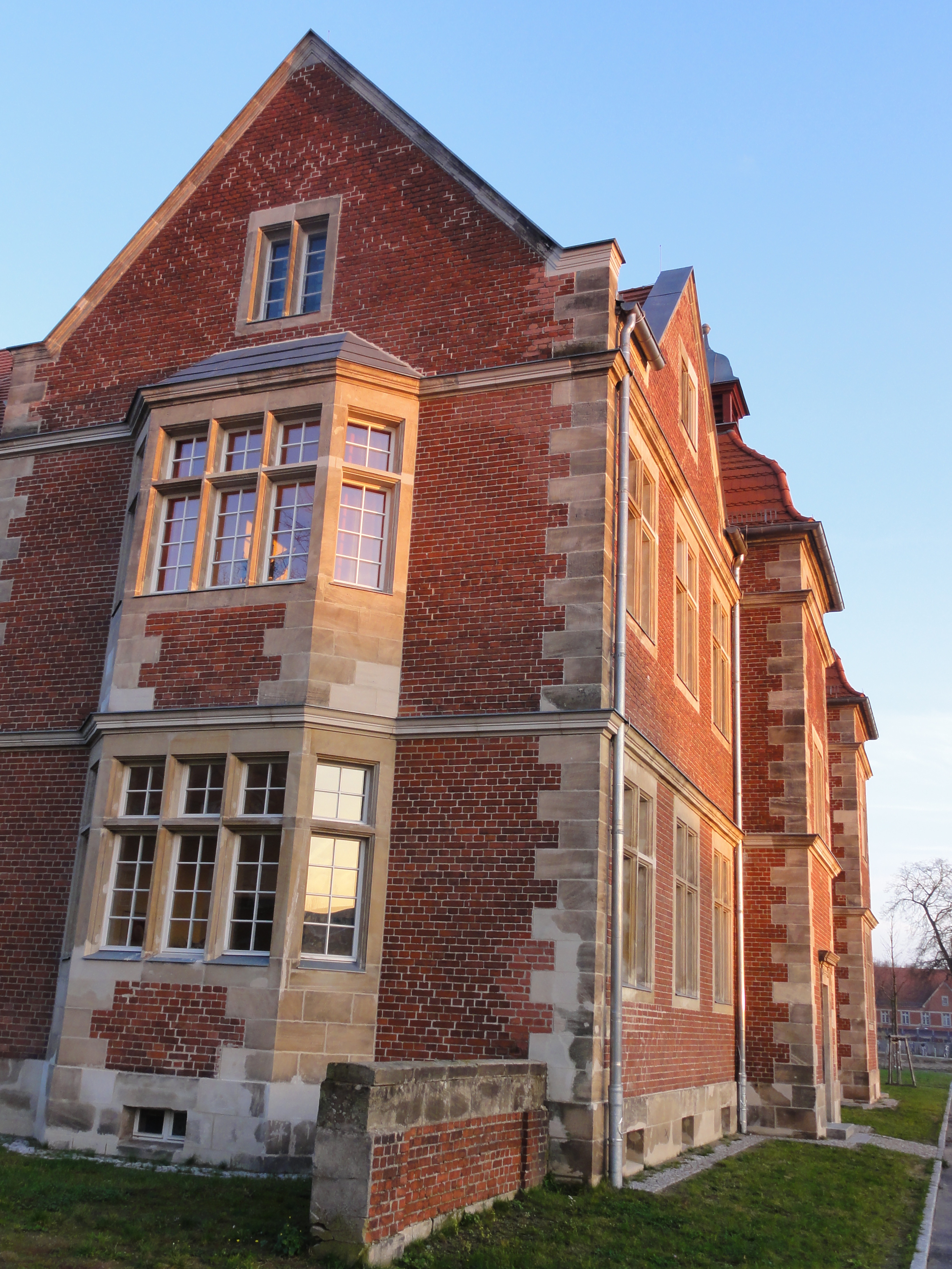
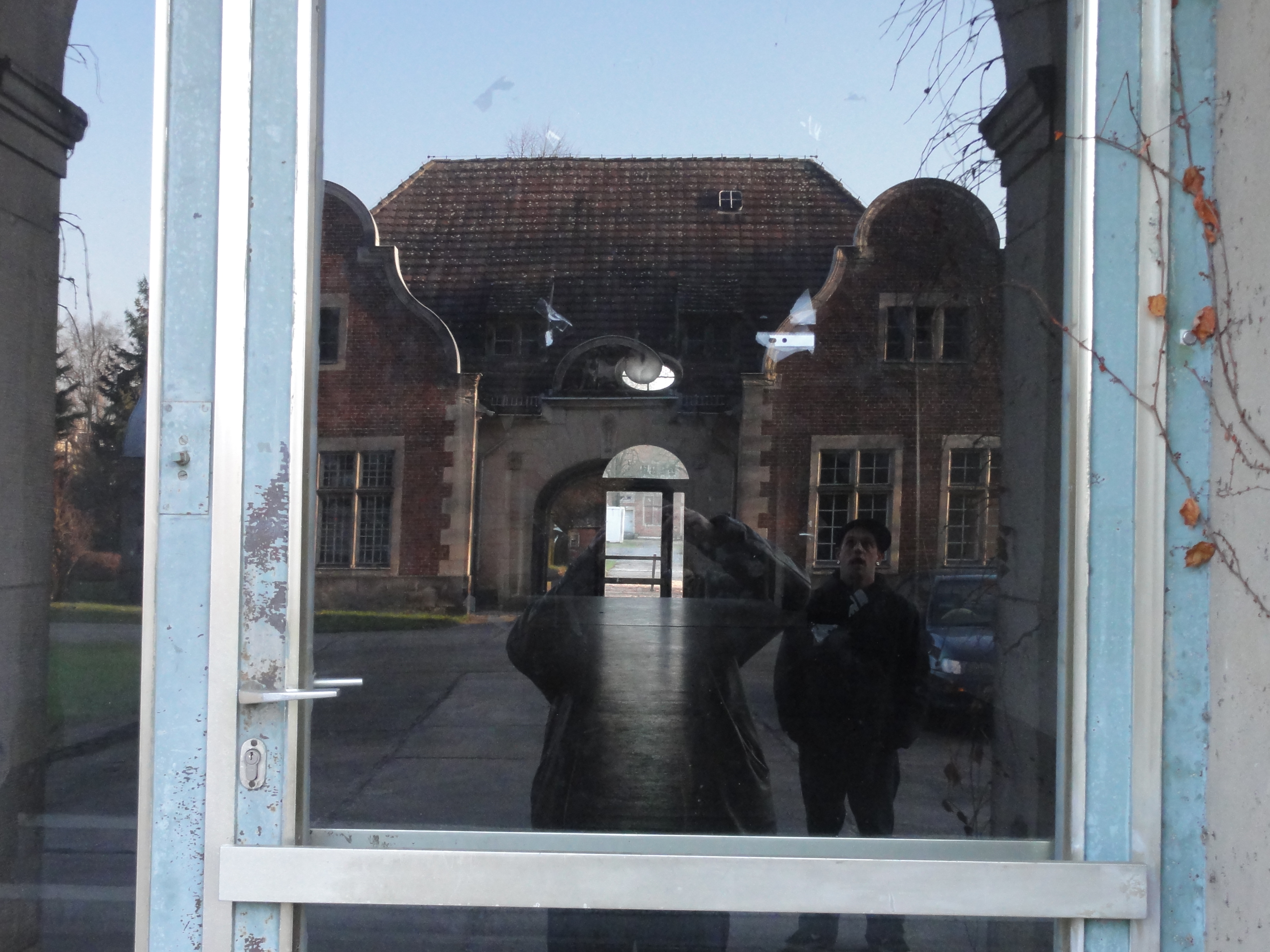
The HEILANSTALT consists of many small buildings (once used as domiciles for the leading physicians) which are arranged in a very loose way, and large hospital buildings arranged in a very fixed, symmetrical setting.
This demonstrates the old and the new way of housing:
|
2010:11:21 14:46:56
---
52 deg 38' 10.04" N, 13 deg 29' 59.94" E
 152.5
°
©
ml
152.5
°
©
ml
|
|
|
2010:11:21 14:49:26
---
52 deg 38' 1.80" N, 13 deg 30' 15.78" E
80.25
°
©
ml
|
|
|
2010:11:21 14:54:26
---
52 deg 38' 0.16" N, 13 deg 30' 15.85" E
78.5
°
©
ml
|
|
|
2010:11:21 15:40:18
---
52 deg 37' 49.27" N, 13 deg 30' 23.80" E
137.5
°
©
ml
|
|
|
2010:11:21 15:40:47
---
52 deg 37' 49.27" N, 13 deg 30' 23.66" E
60.25
°
©
ml
|
|
|
2010:11:21 15:40:55
---
52 deg 37' 49.32" N, 13 deg 30' 23.62" E
302.25
°
©
ml
|
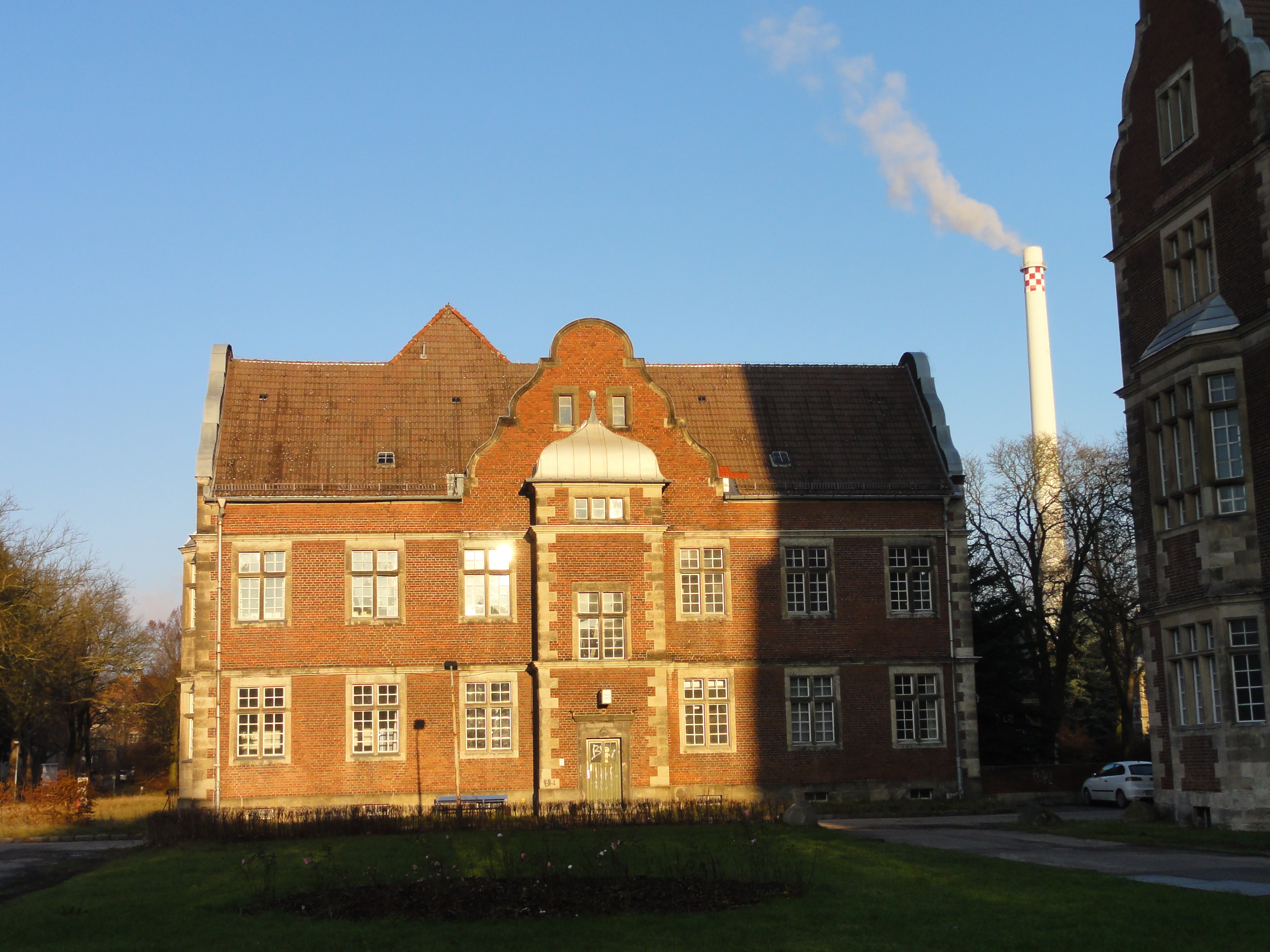
I told my fellow that this is the crematory, where they get rid of amputated smokers' legs, etc. He answered that this would not require such a high chimney, but I convinced him pointing out the special kind of pollution !-)
|
|
2010:11:21 14:50:32
---
52 deg 38' 1.14" N, 13 deg 30' 17.18" E
56.25
°
©
ml
|
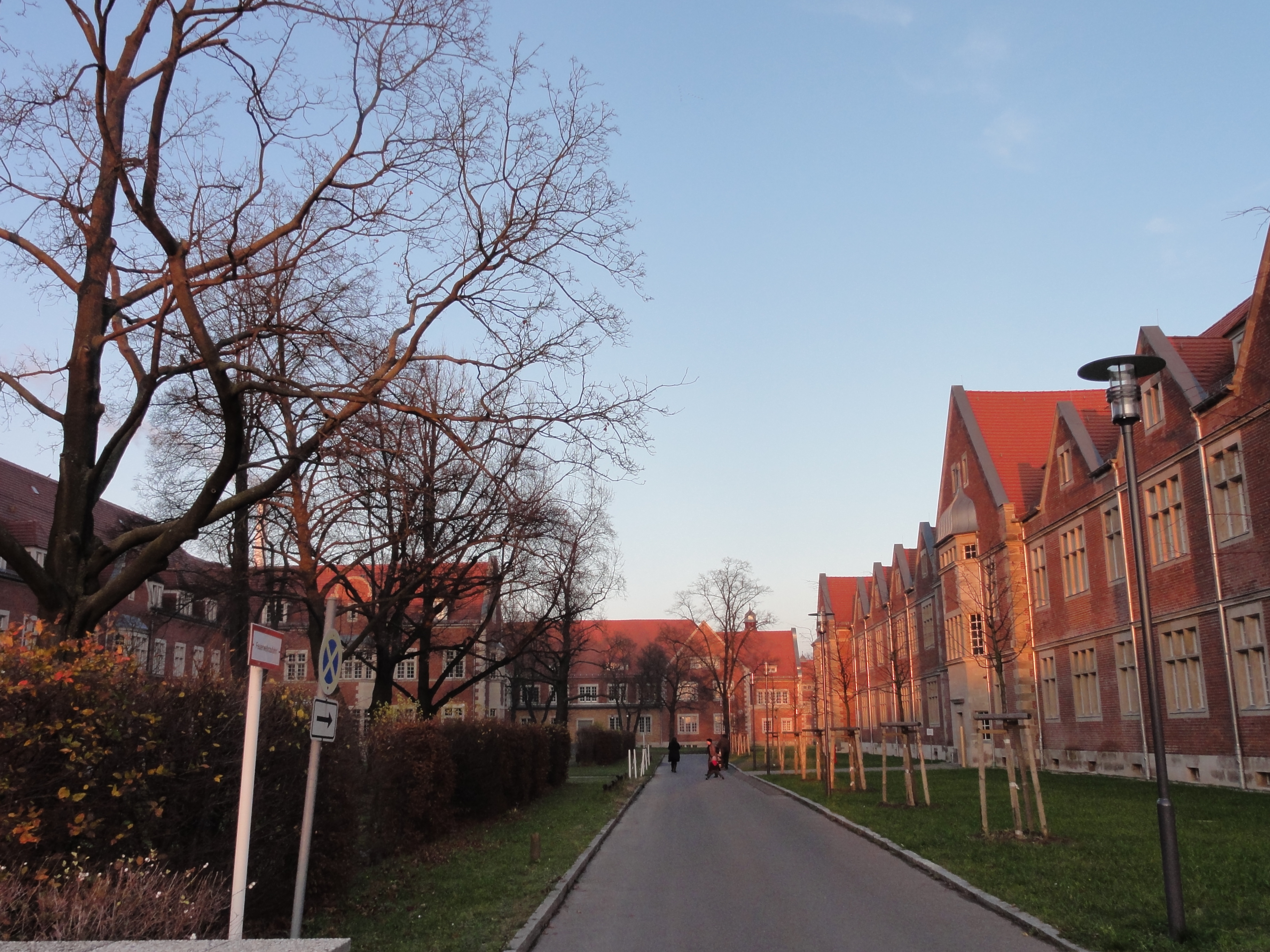
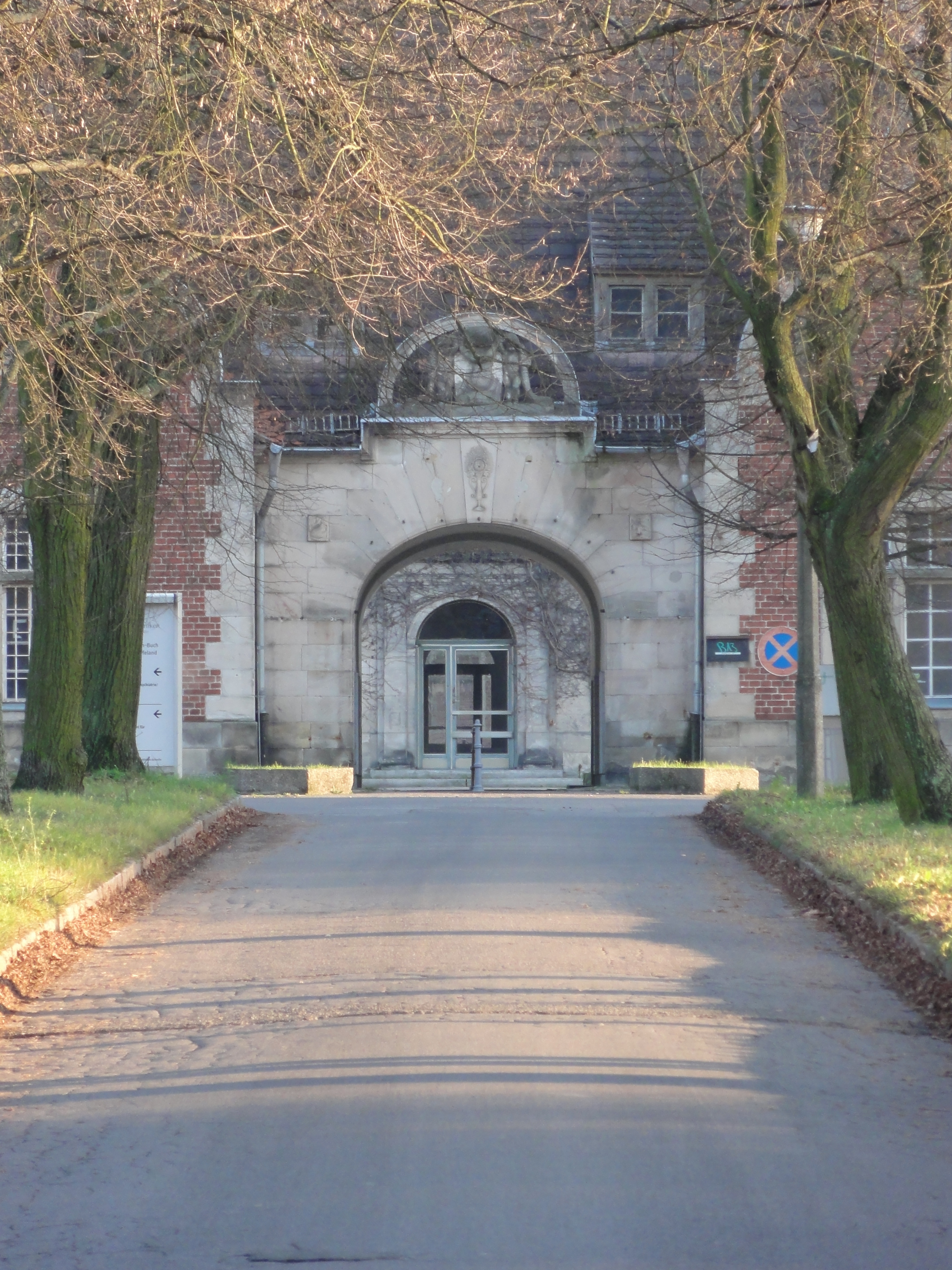
This is the first of the large main buildings, built exactly into the central axis. I think its quite impressive!
|
|
|
2010:11:21 14:46:56
---
52 deg 38' 10.04" N, 13 deg 29' 59.94" E
152.5
°
©
ml
|
|
|
2010:11:21 14:47:04
---
52 deg 38' 3.69" N, 13 deg 30' 13.22" E
132.25
°
©
ml
|
|
|
2010:11:21 14:51:19
---
52 deg 38' 0.49" N, 13 deg 30' 17.60" E
140.25
°
©
ml
|
|
|
2010:11:21 14:51:28
---
52 deg 38' 0.49" N, 13 deg 30' 17.60" E
132.5
°
©
ml
|
|
|
2010:11:21 14:51:48
---
52 deg 38' 0.38" N, 13 deg 30' 17.80" E
138.5
°
©
ml
|
|
|
2010:11:21 14:52:04
---
52 deg 38' 0.38" N, 13 deg 30' 17.80" E
187.25
°
©
ml
|
|
|
2010:11:21 14:52:39
---
52 deg 38' 0.38" N, 13 deg 30' 17.80" E
142.25
°
©
ml
|
|
|
2010:11:21 14:56:20
---
52 deg 38' 0.24" N, 13 deg 30' 17.98" E
296.25
°
©
ml
|
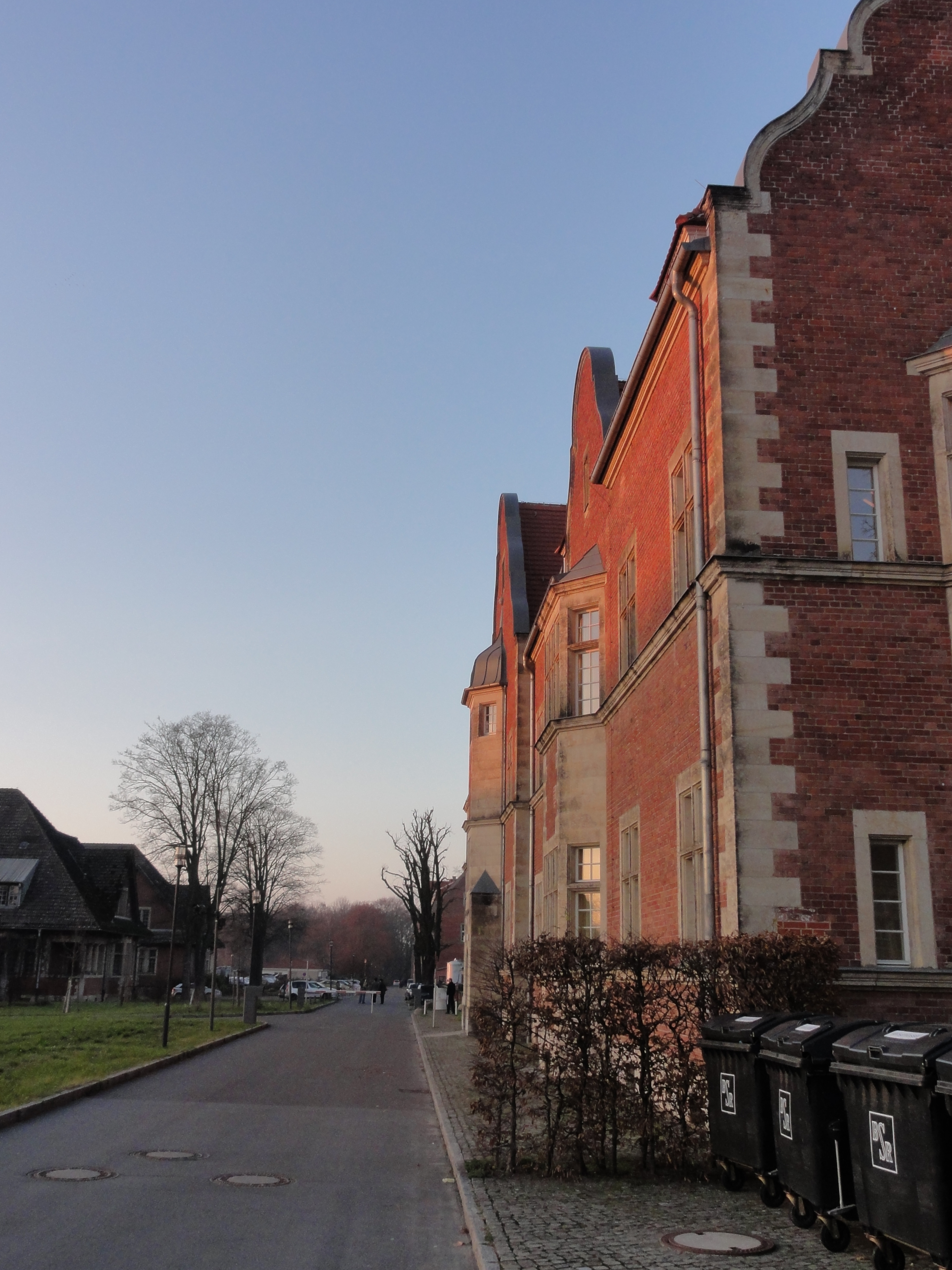
These are the new buildings, at the eastern end of the area:
|
|
2010:11:21 15:17:44
---
52 deg 37' 59.74" N, 13 deg 30' 18.40" E
299.25
°
©
ml
|

|
|
2010:11:21 15:21:10
---
52 deg 37' 59.74" N, 13 deg 30' 18.40" E
346
°
©
ml
|
Finally, back through the park, again:
|
|
2010:11:21 15:58:50
---
52 deg 38' 17.57" N, 13 deg 30' 0.81" E
240
°
©
ml
|
back to photos' home / zurück zur Photo-Übersicht
back to tours' home / zurück zur ersten Tour
markuslepper.eu
2011-07-29_21h15


produced with
eu.bandm.metatools.d2d
and
XSLT
FYI view
page source text