 61
°
©
ml
61
°
©
ml
Berlin Winter Tours / IV
1
From Wittenau To Lübars and Tegeler Fließ
1.1
First Part: From U8/Wittenau Through Märkisches Viertel
1.2
To Freizeitpark Lübars Mountain
1.3
The Tegeler Fließ towards Lübars
1.4
Lübars
1.5
The Tegeler Fließ Towards Hermdsdorf
1.6
The Tegeler Fließ in Hermsdorf
1.7
In Hermsdorf
2
From Spandau to Tegeler See
back to photos' home / zurück zur Photo-Übersicht
back to tours' home / zurück zur ersten Tour
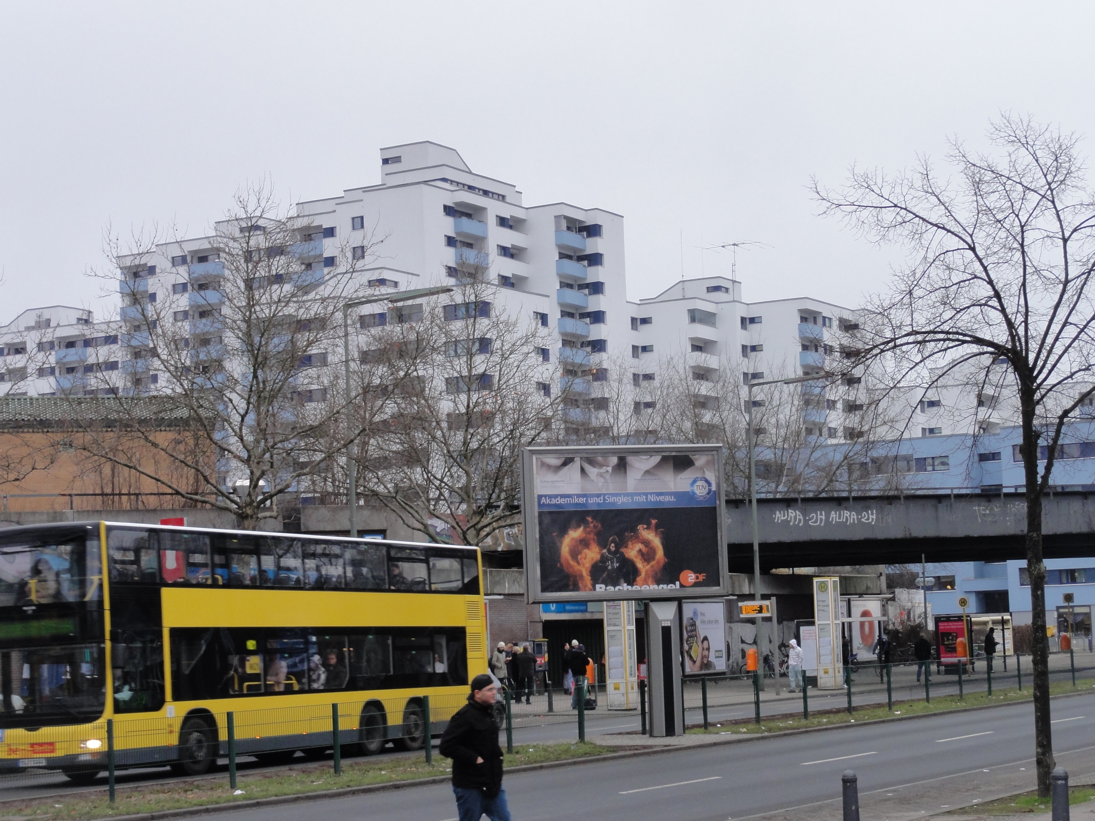
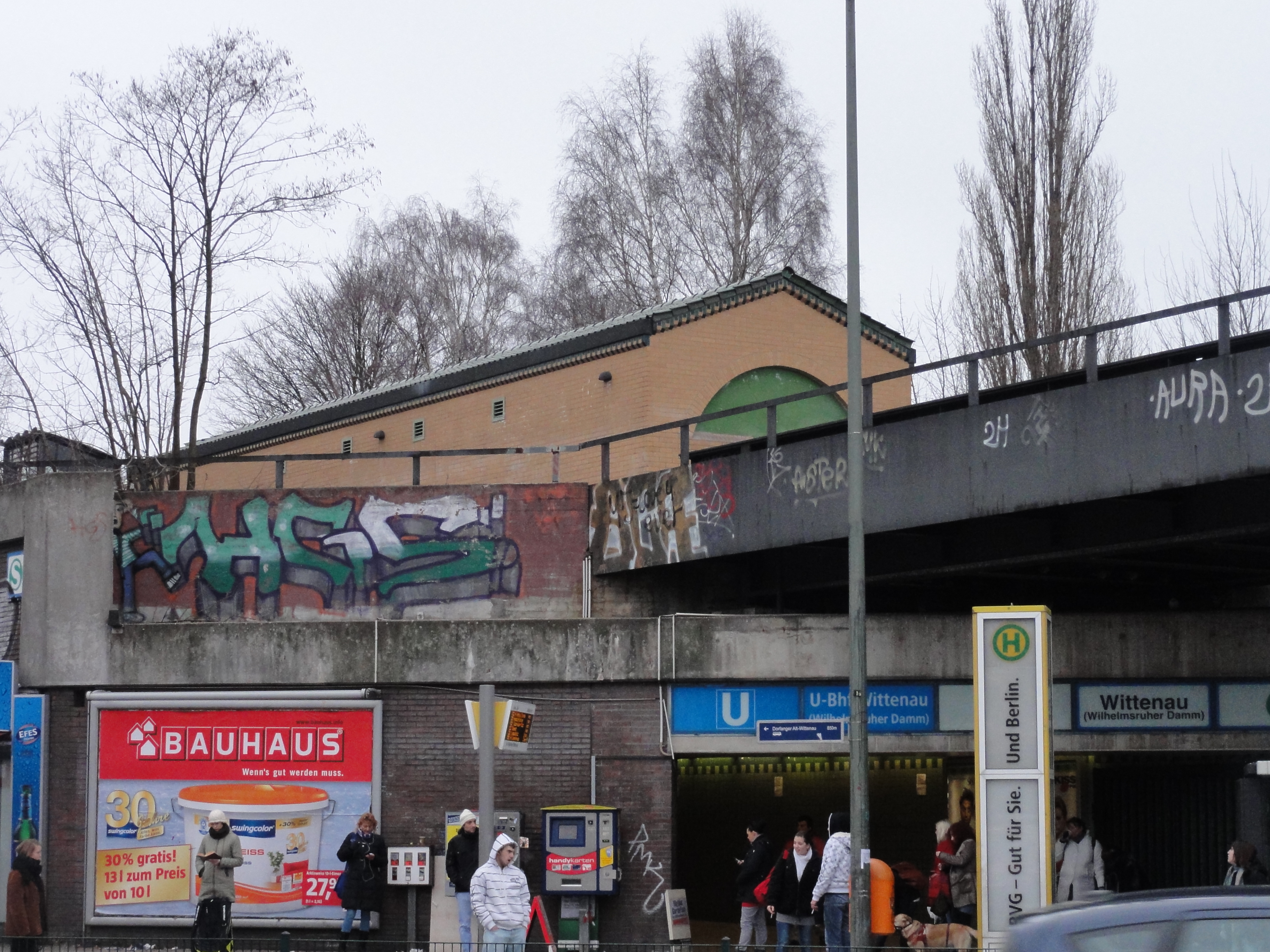
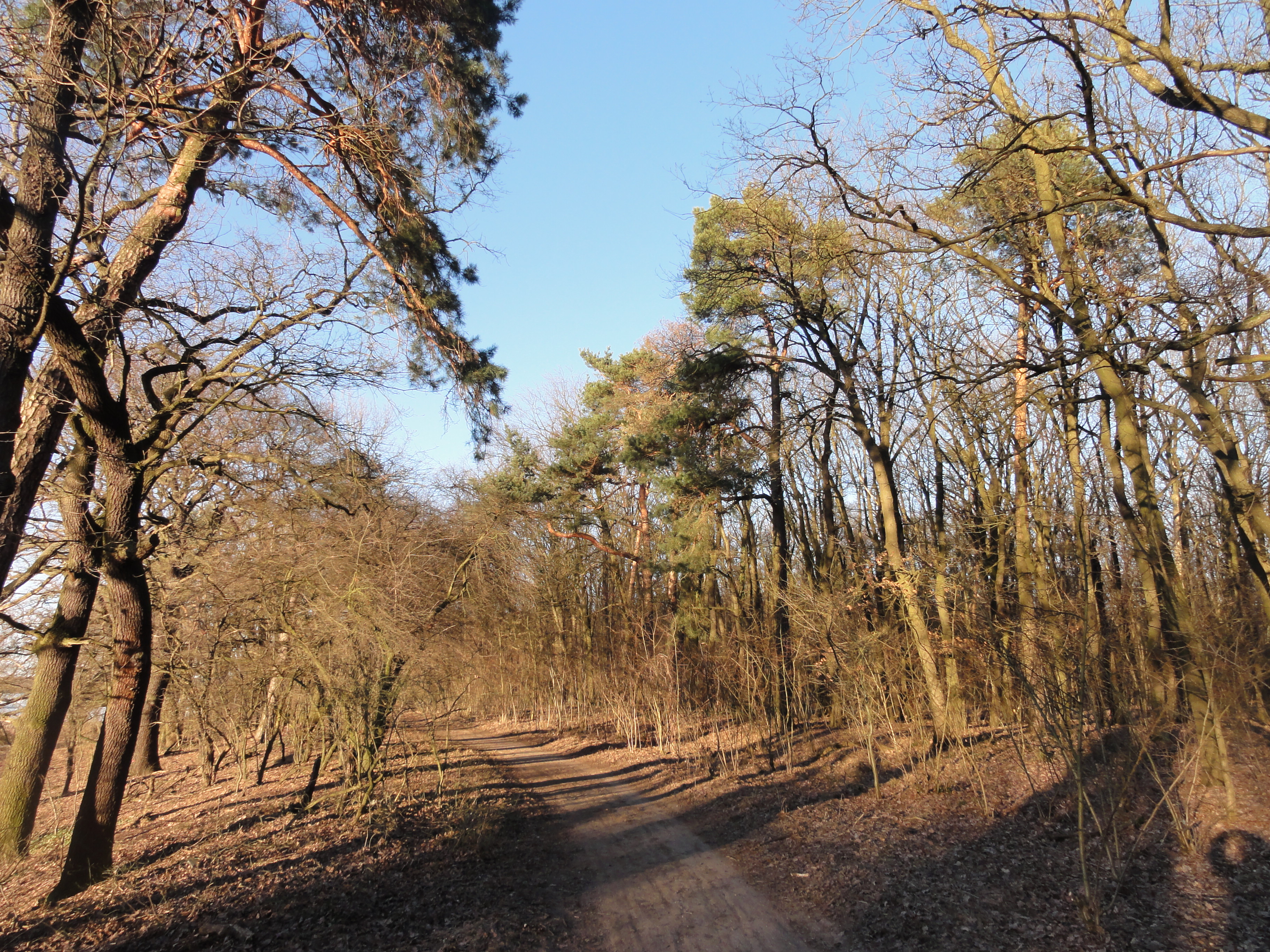
The start is at the terminal station of U-eight in Wittenau. (Sorry, with the first few pictures, my camera took the wrong GPS)
|
|
|
2011:01:23 13:23:11
61
°
©
ml
|
|
2011:01:23 13:24:17 285
°
©
ml
285
°
©
ml
|
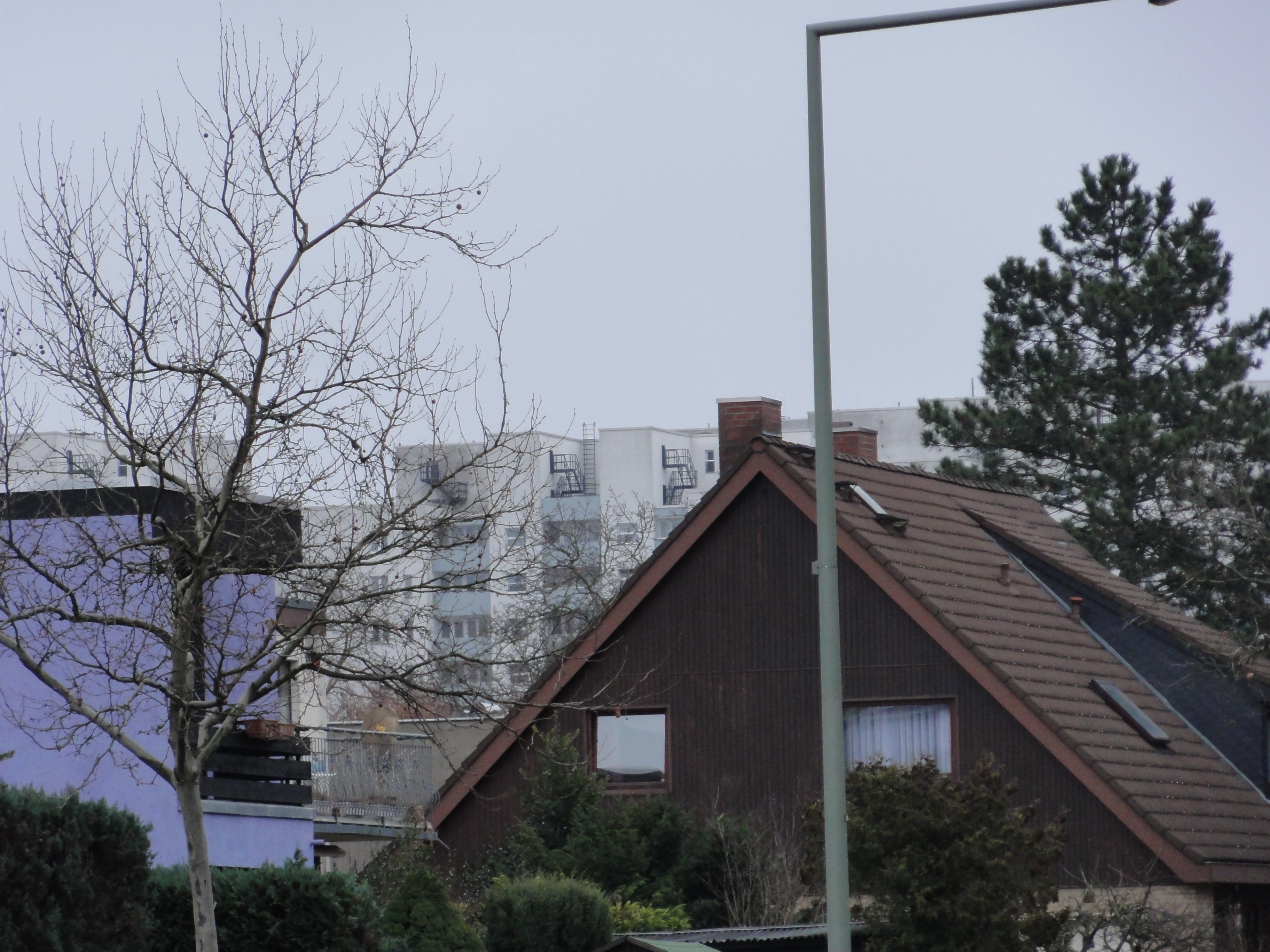
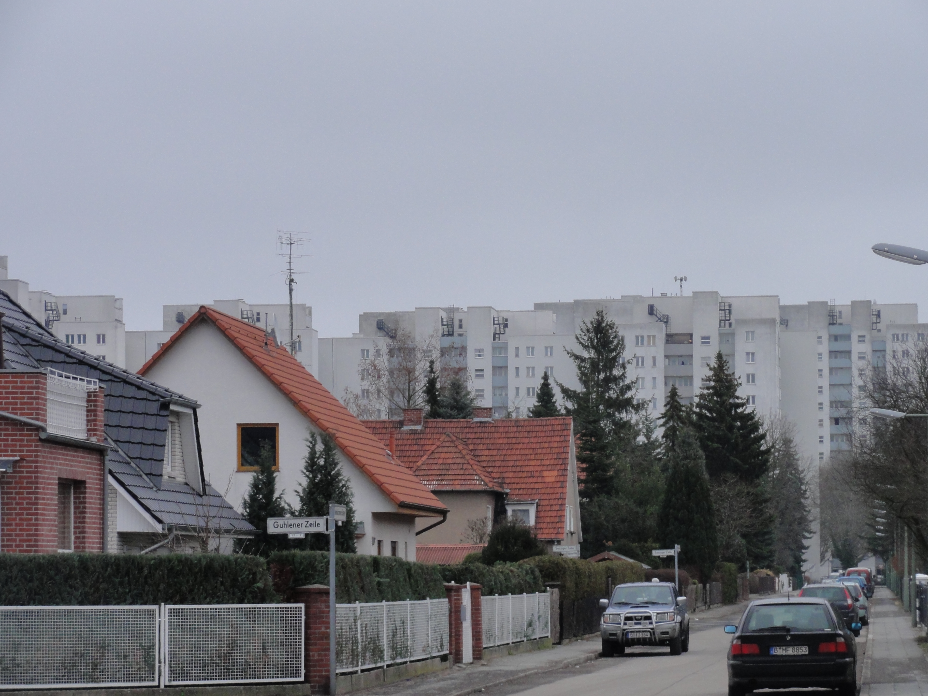
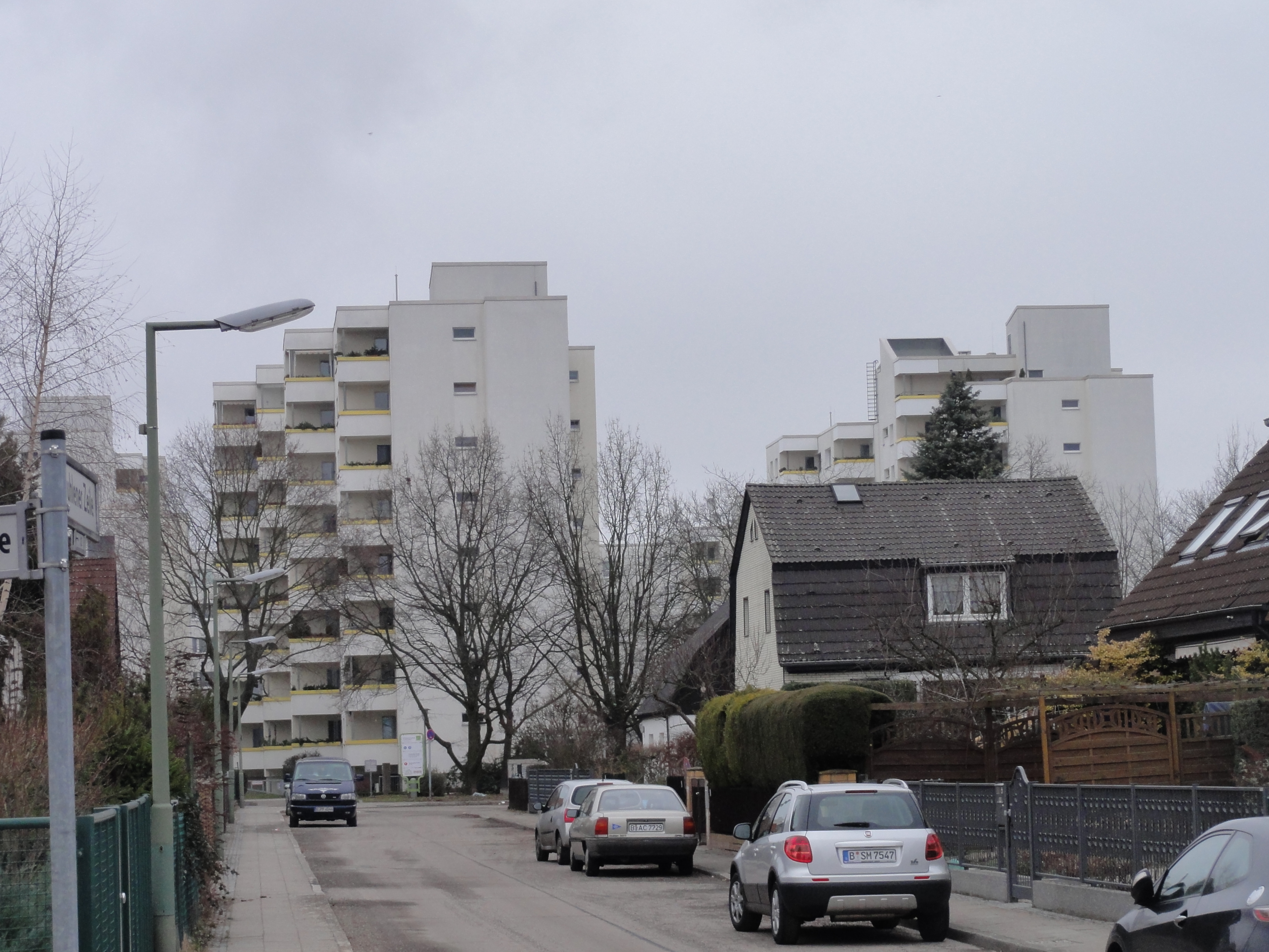
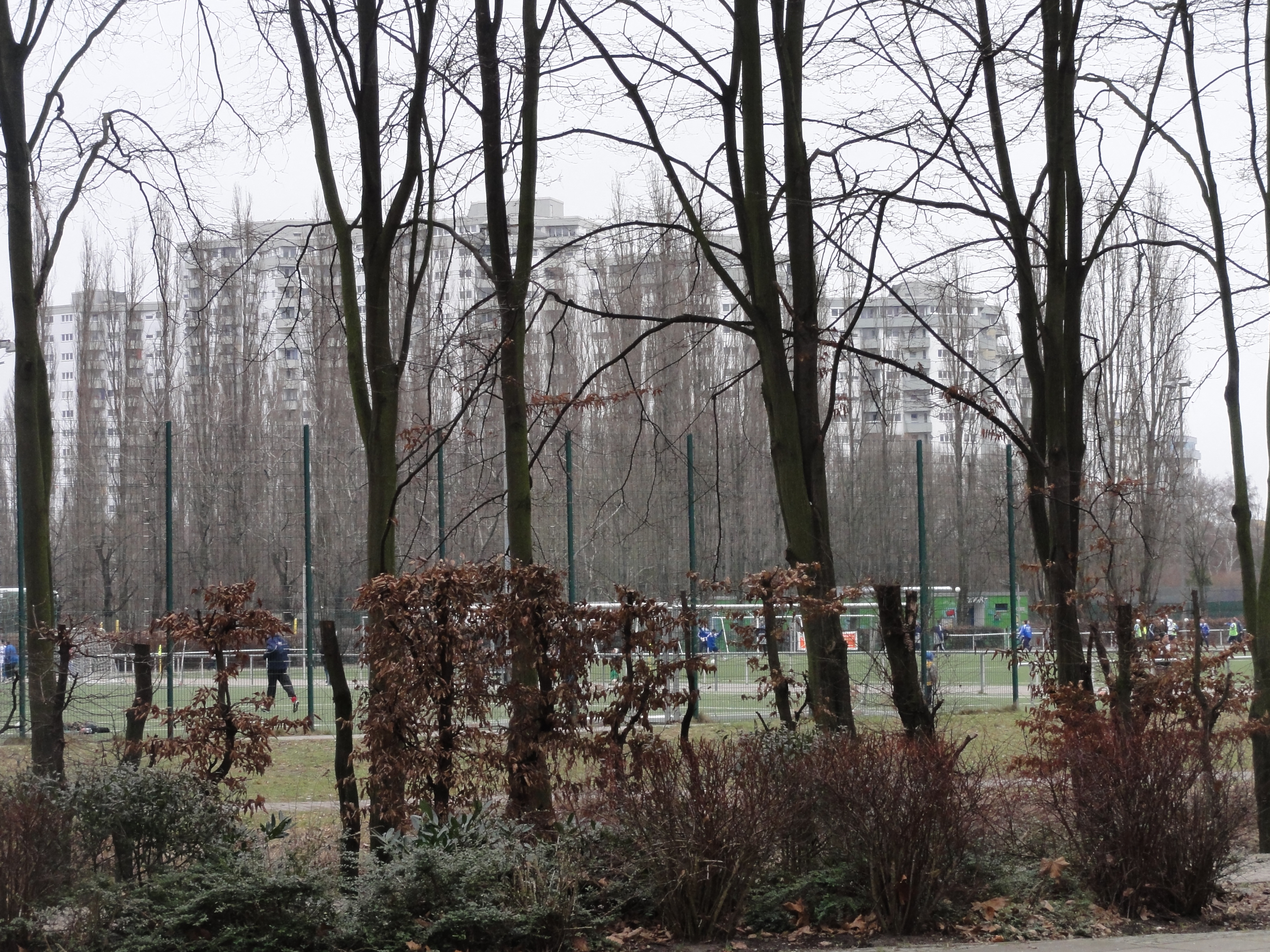
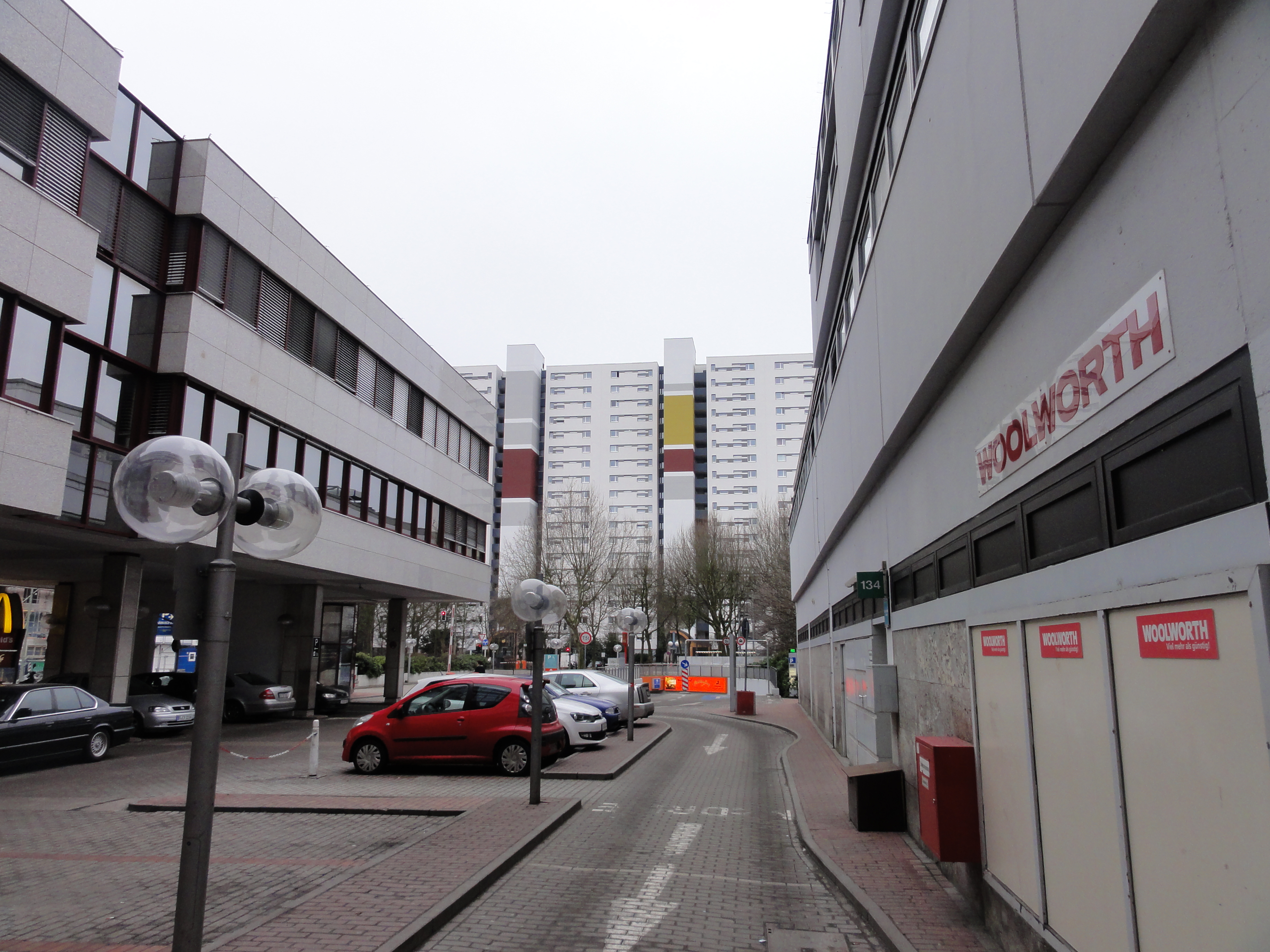
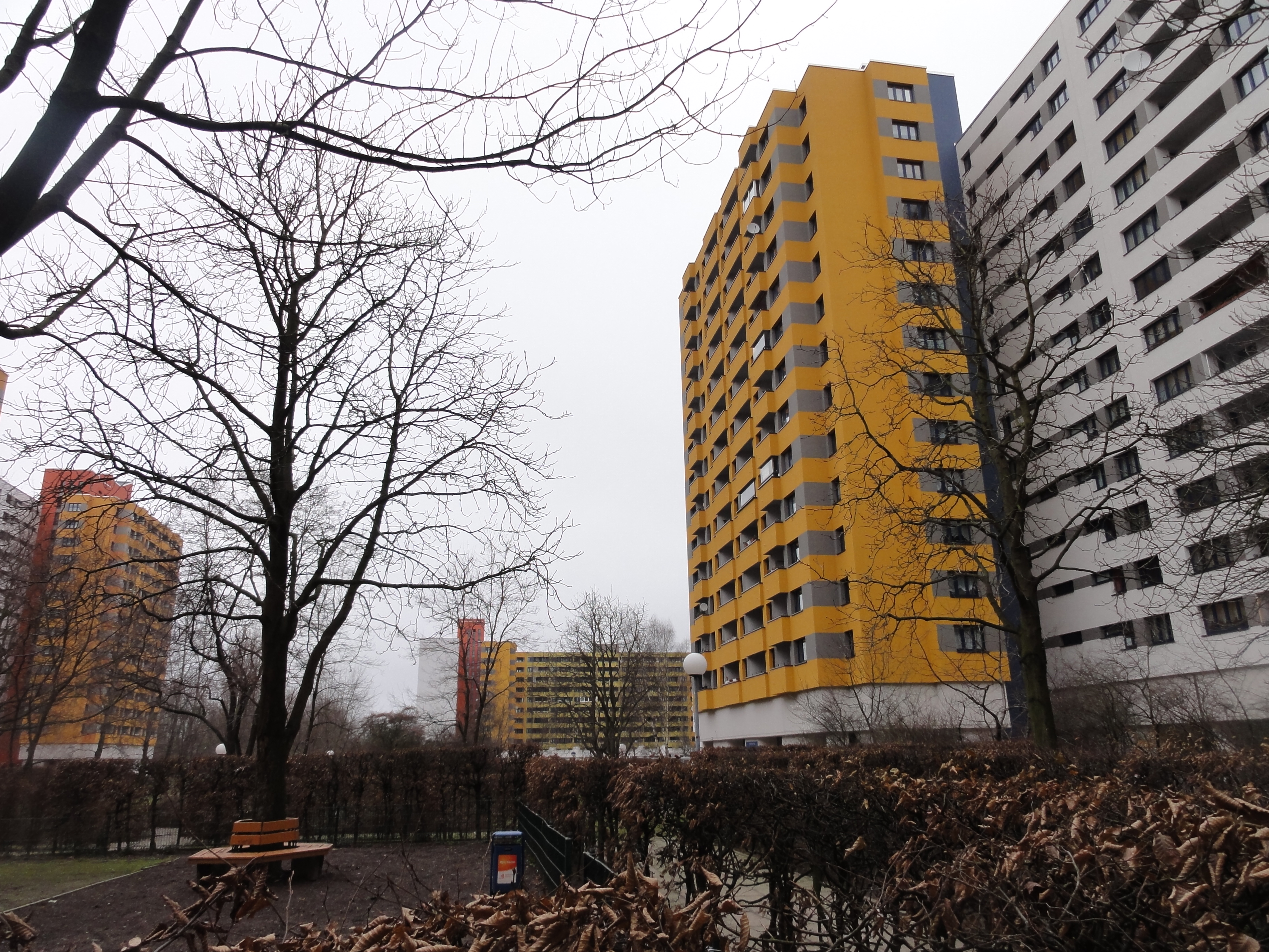
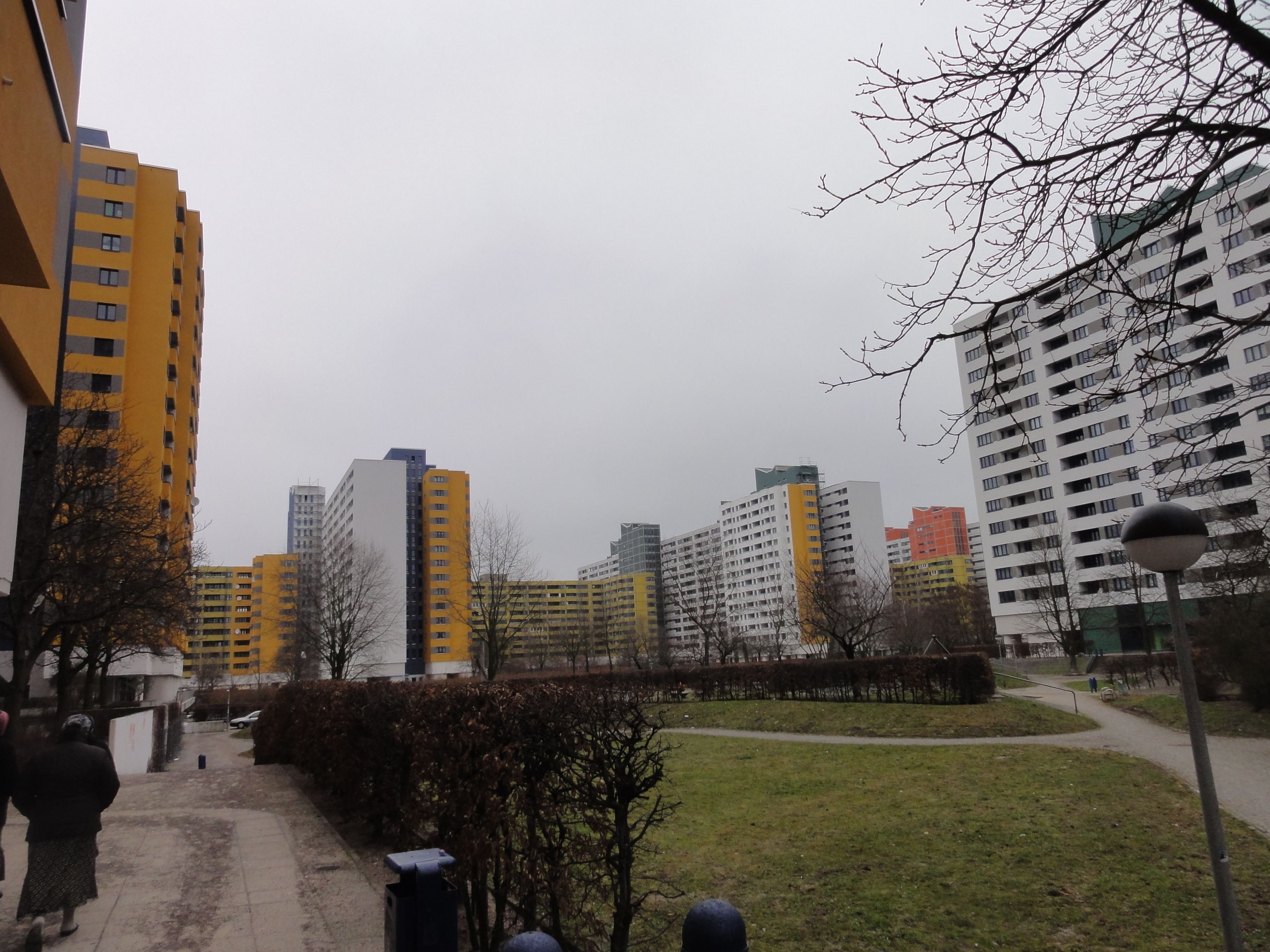
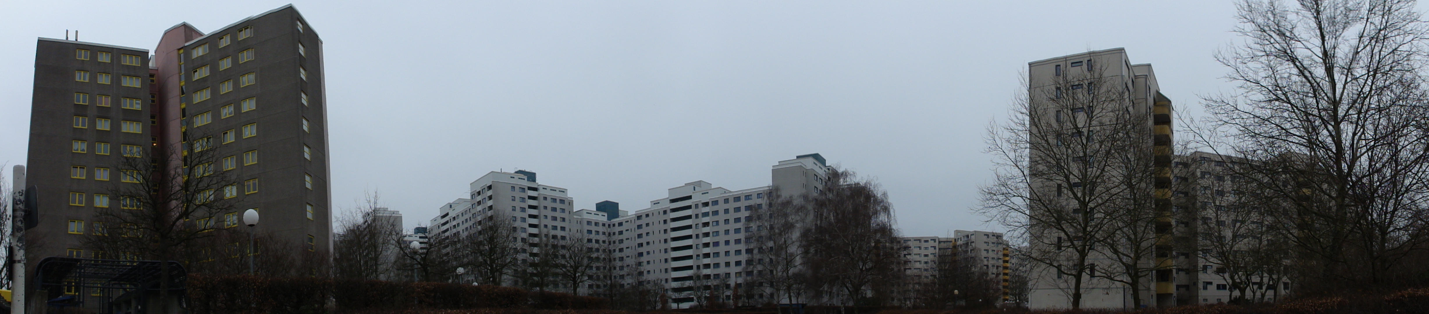
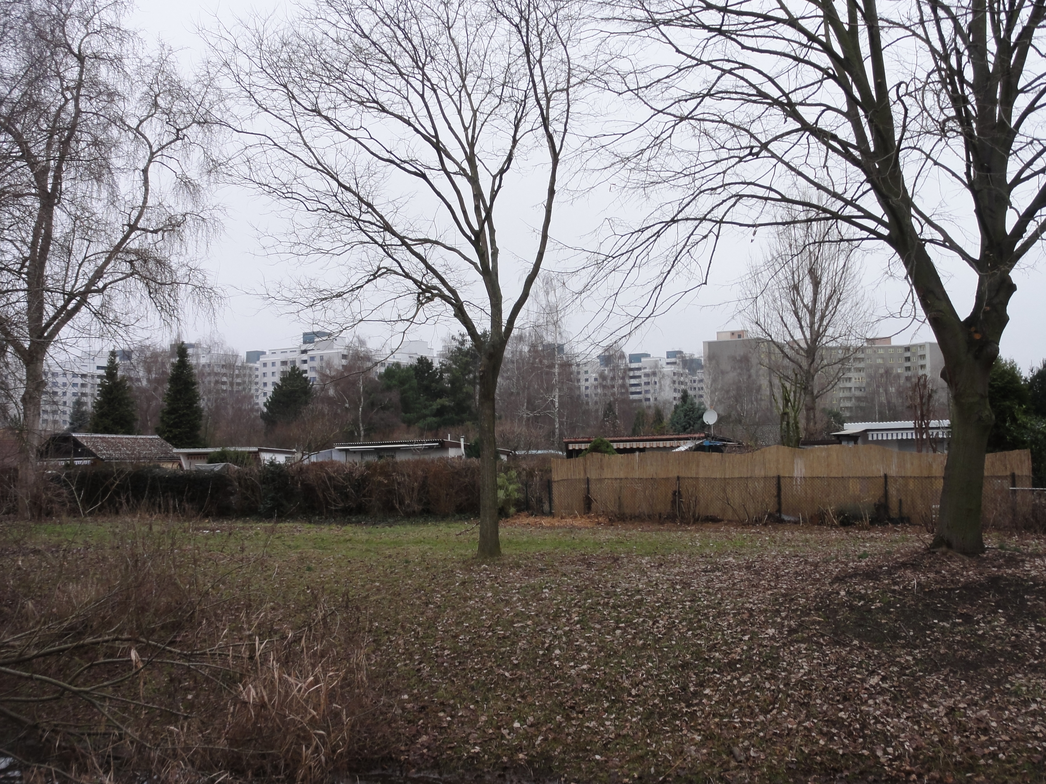
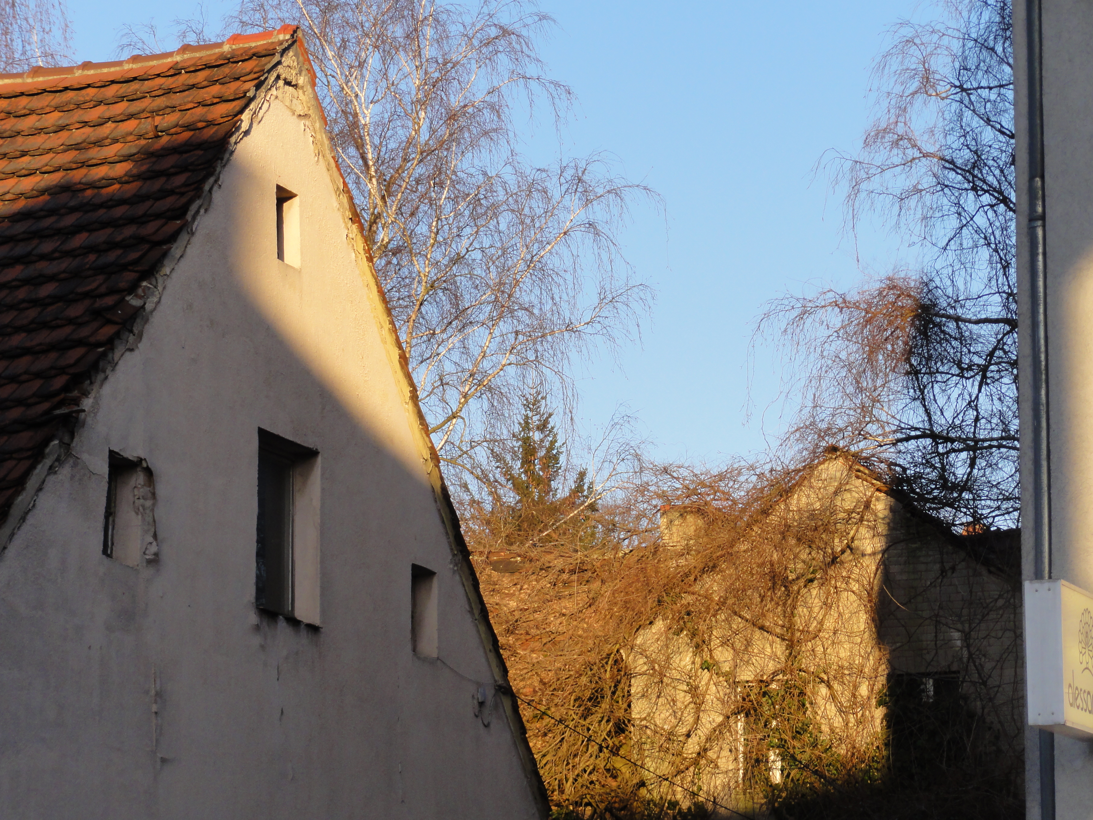
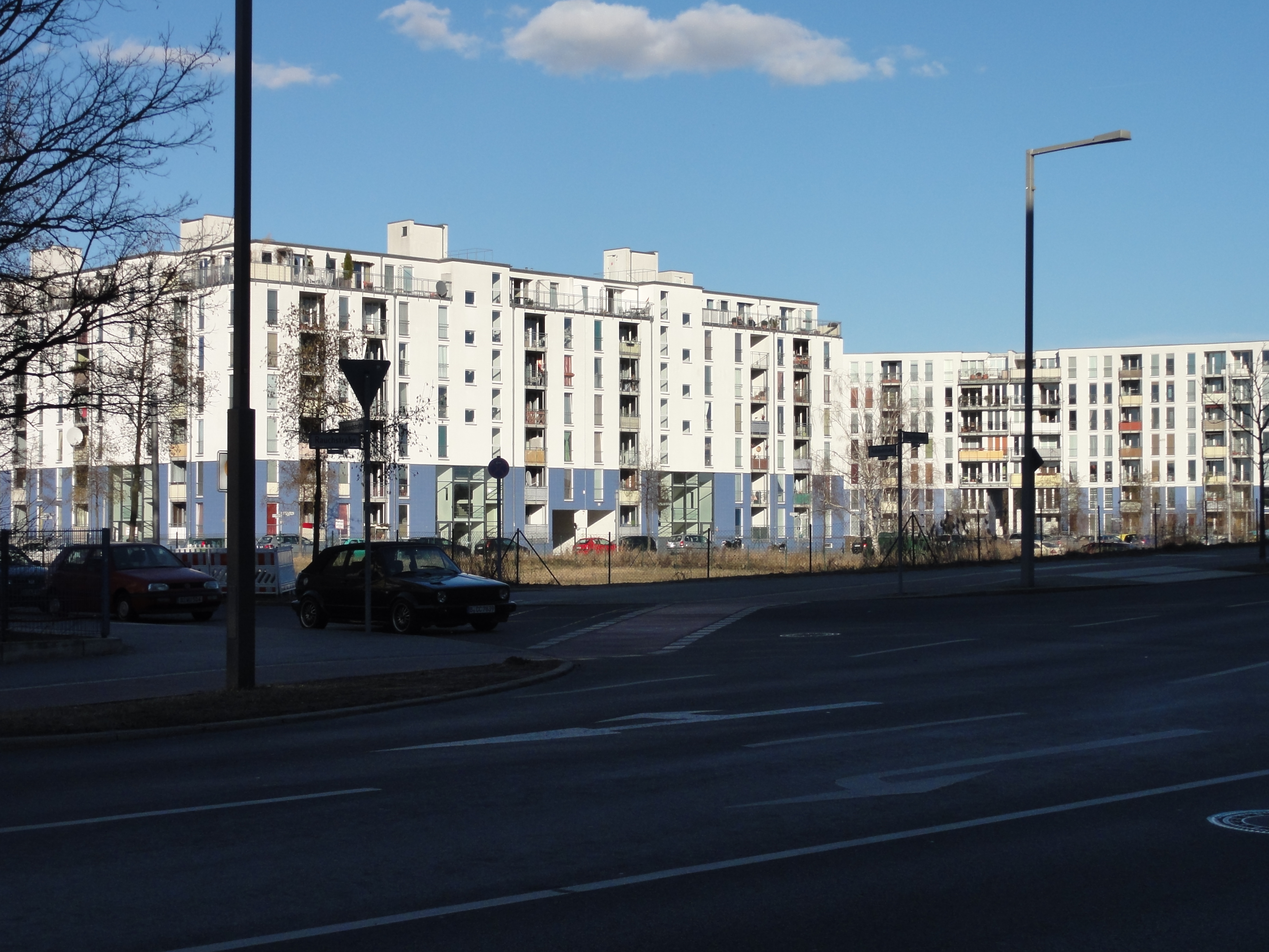
Before the "Märkisches Viertel" had been built, there was this settlement of small one family houses we are passing throuht. They lived peaceful at the end of the city, nearly rural. Then the Ghetto came! Some may have fled! The others resist! And ignore!
|
2011:01:23 13:27:55 73.25
°
©
ml
73.25
°
©
ml
|
|
2011:01:23 13:30:25
---
52 deg 35' 49.54" N, 13 deg 20' 24.23" E
 132.5
°
©
ml
132.5
°
©
ml
|
|
2011:01:23 13:30:56
---
52 deg 35' 49.72" N, 13 deg 20' 25.17" E
 313
°
©
ml
313
°
©
ml
|
|
2011:01:23 13:31:22
---
52 deg 35' 49.76" N, 13 deg 20' 26.16" E
 319.25
°
©
ml
319.25
°
©
ml
|

|
|
2011:01:23 13:35:51
---
52 deg 35' 49.82" N, 13 deg 20' 29.79" E
121
°
©
ml
|
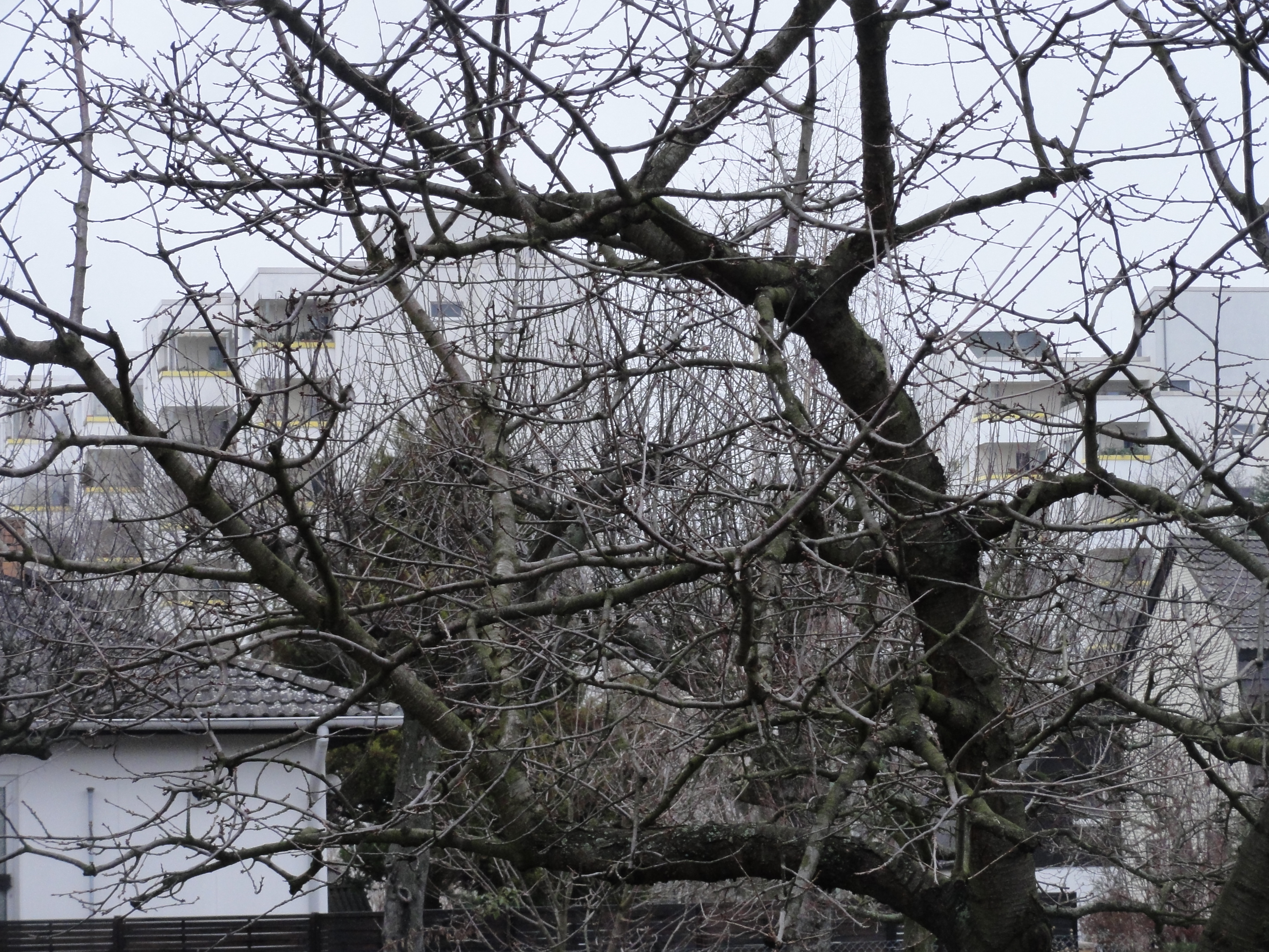
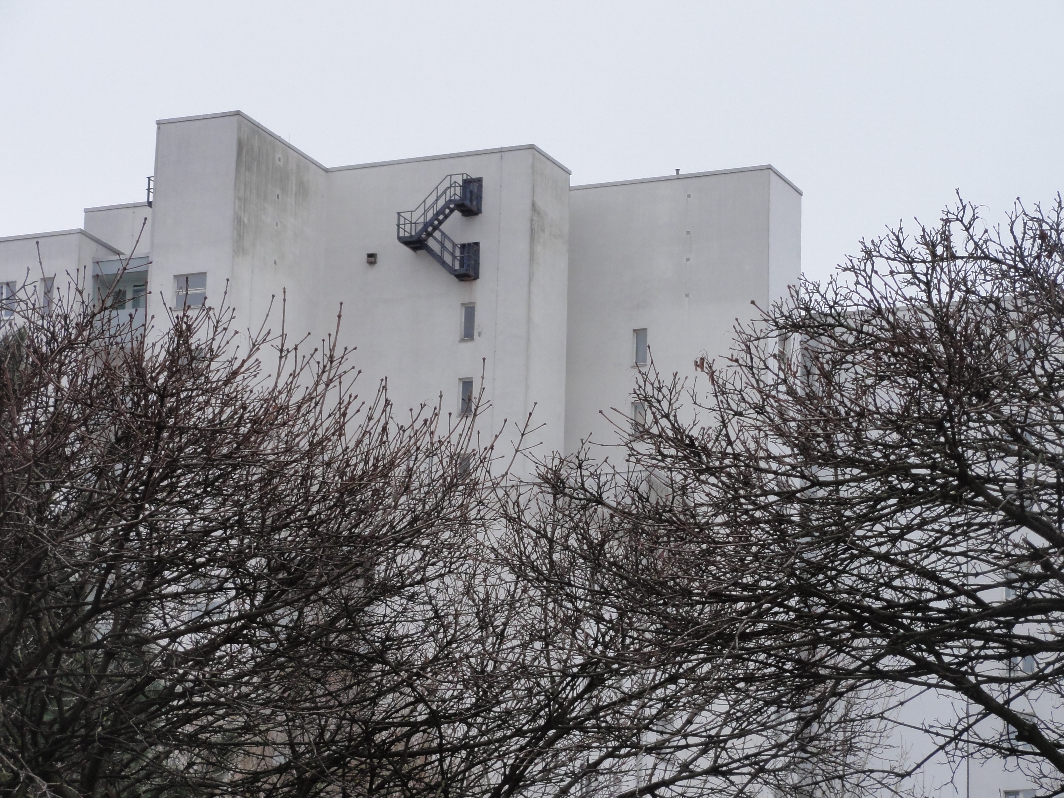
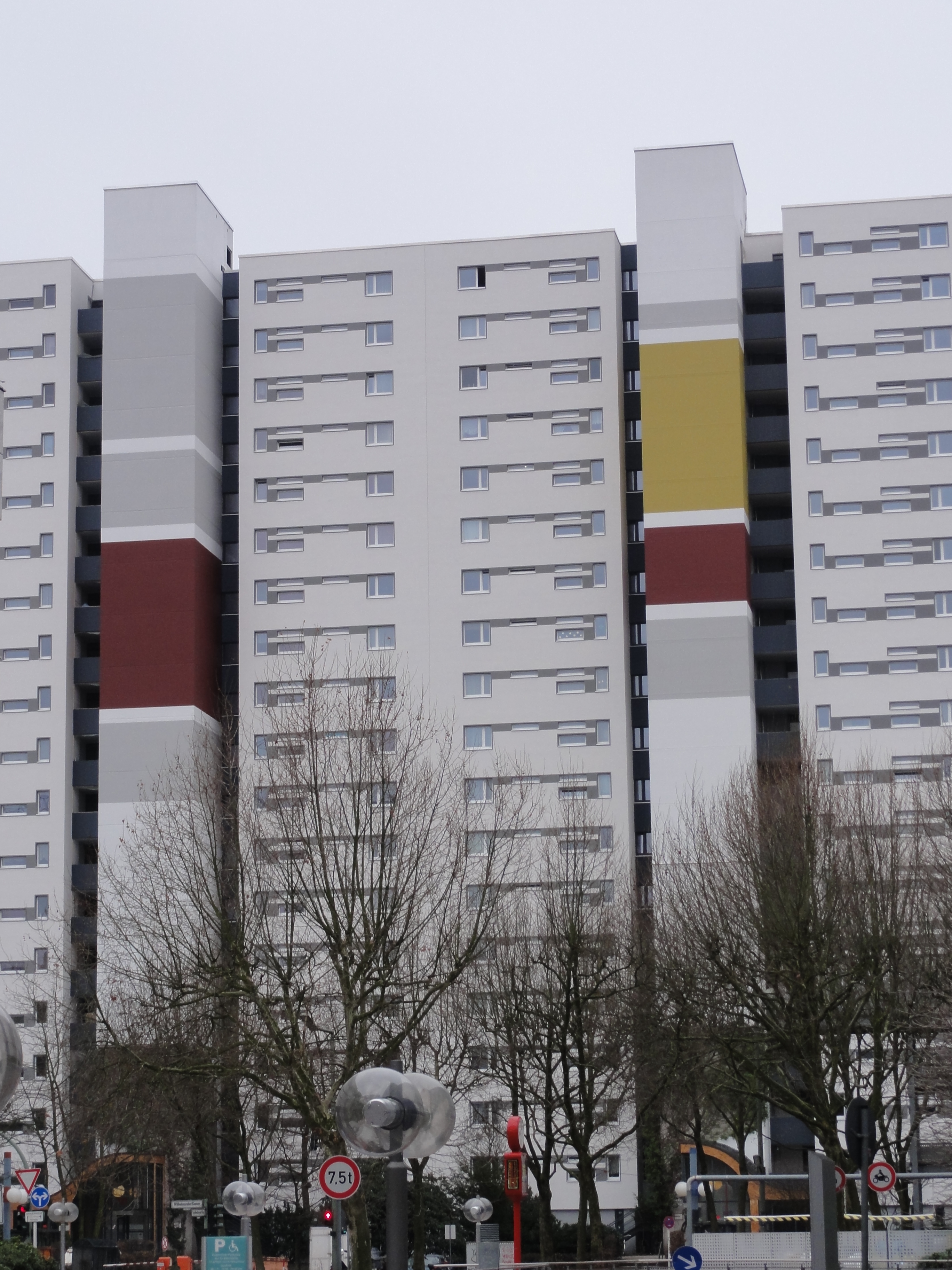
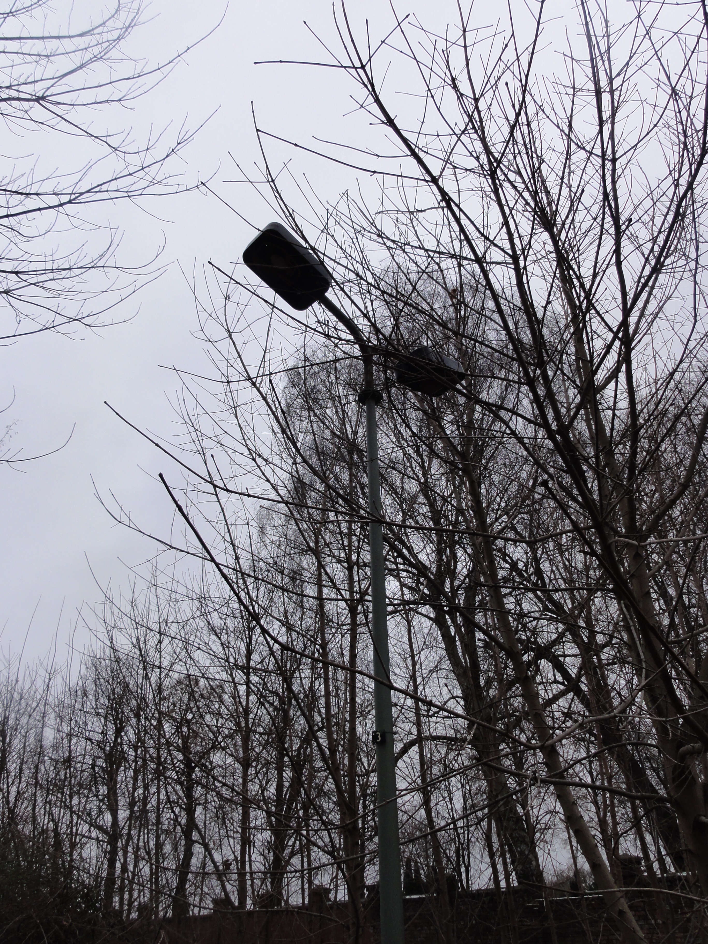
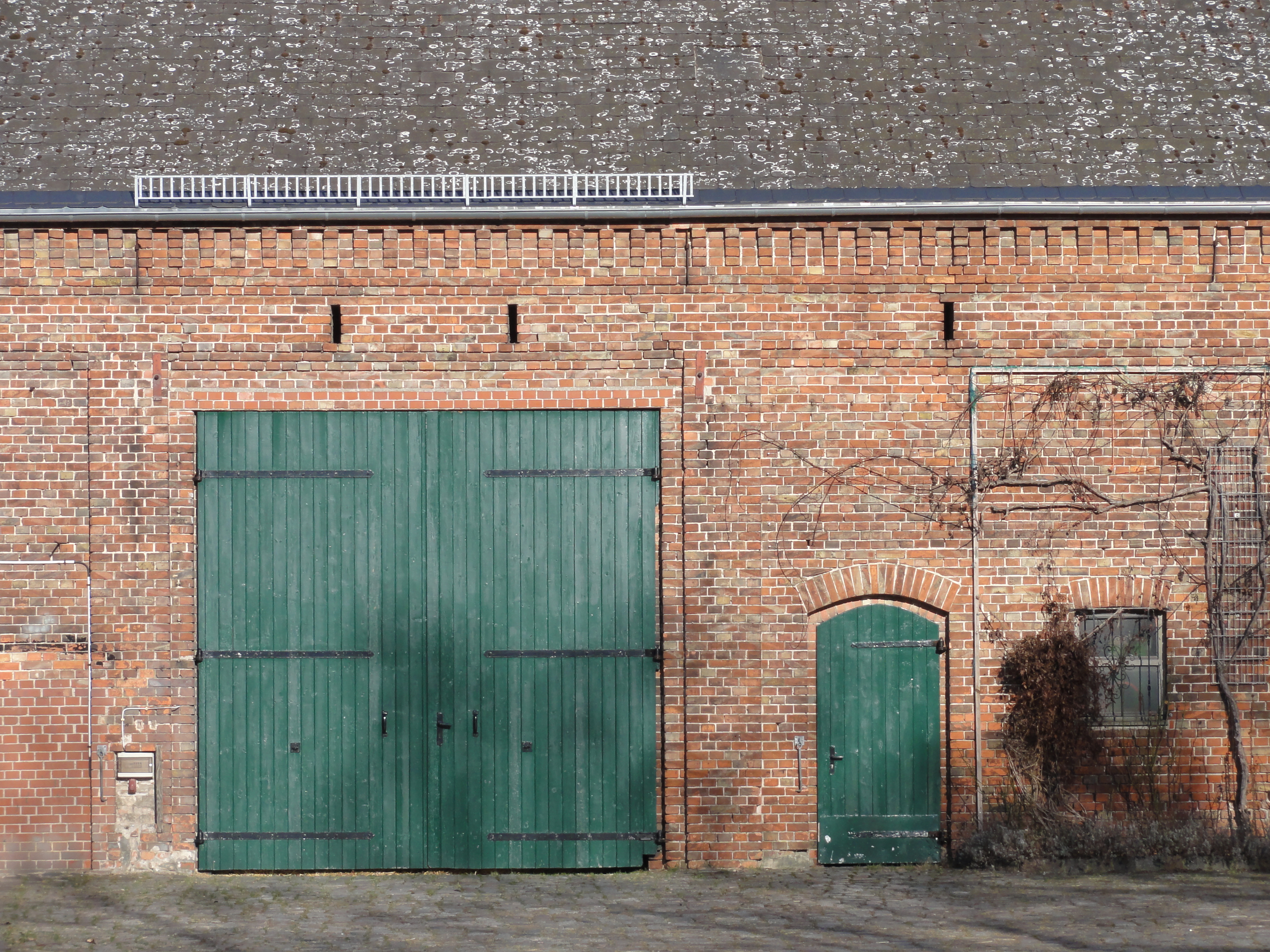
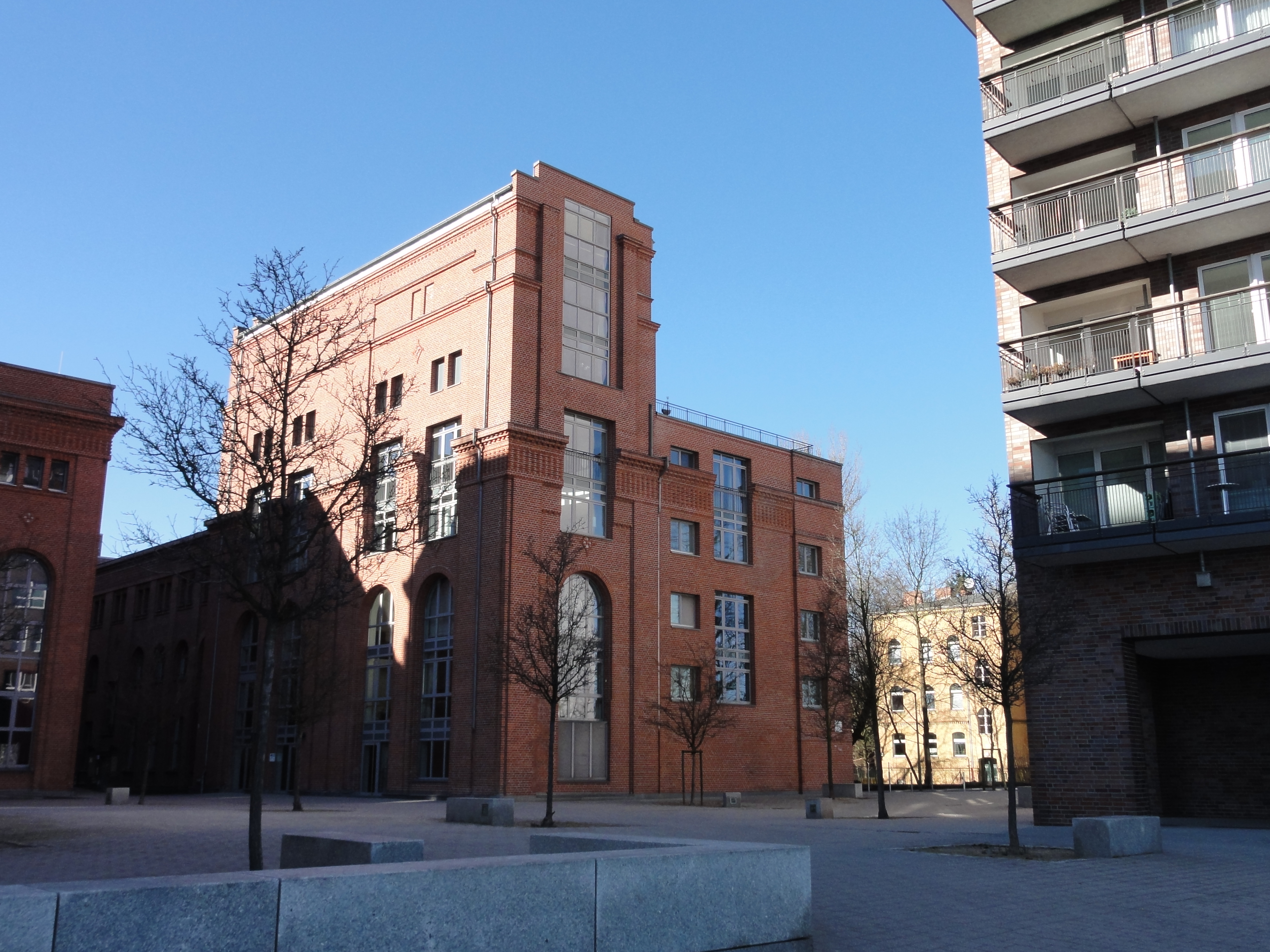
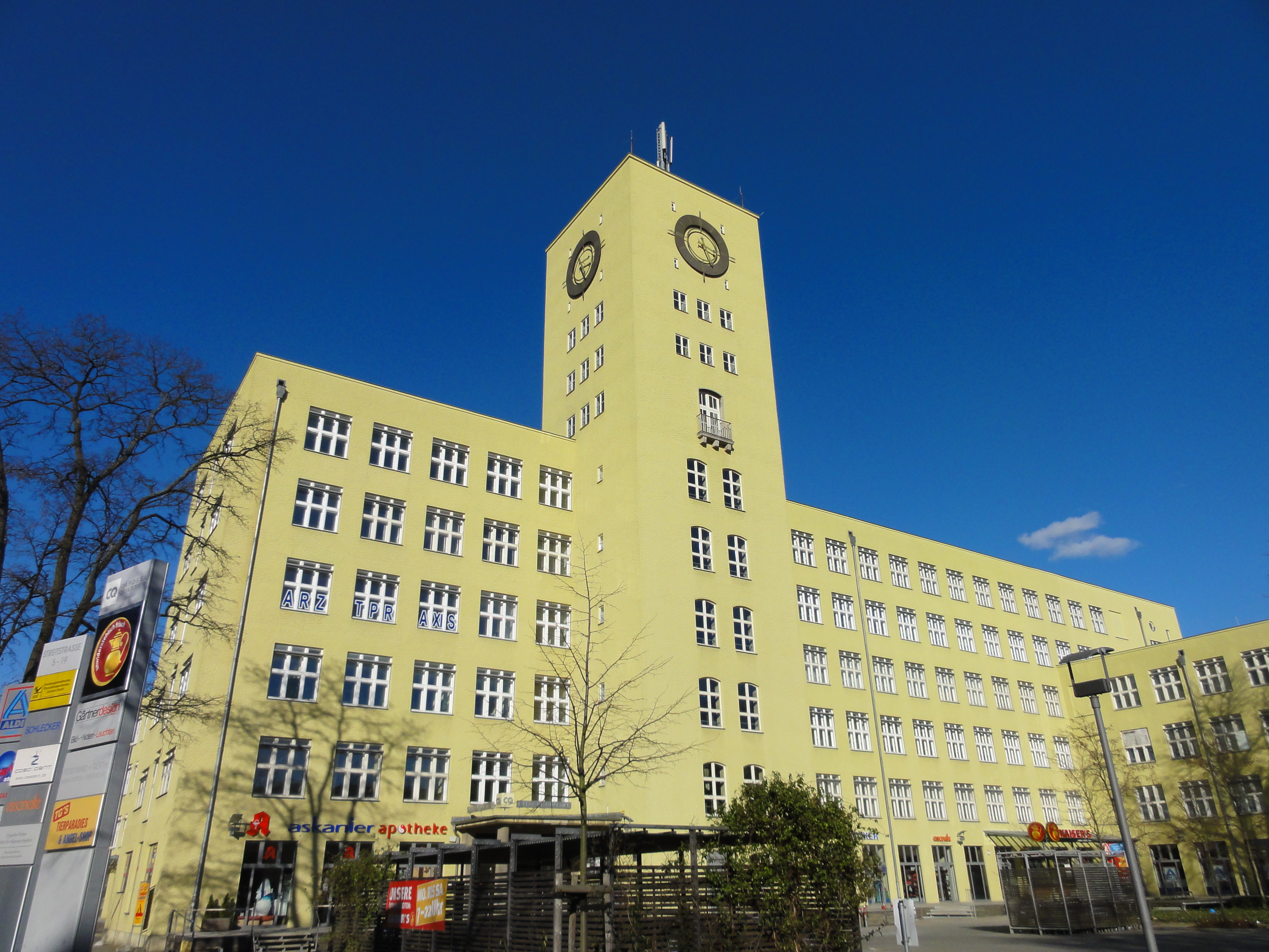
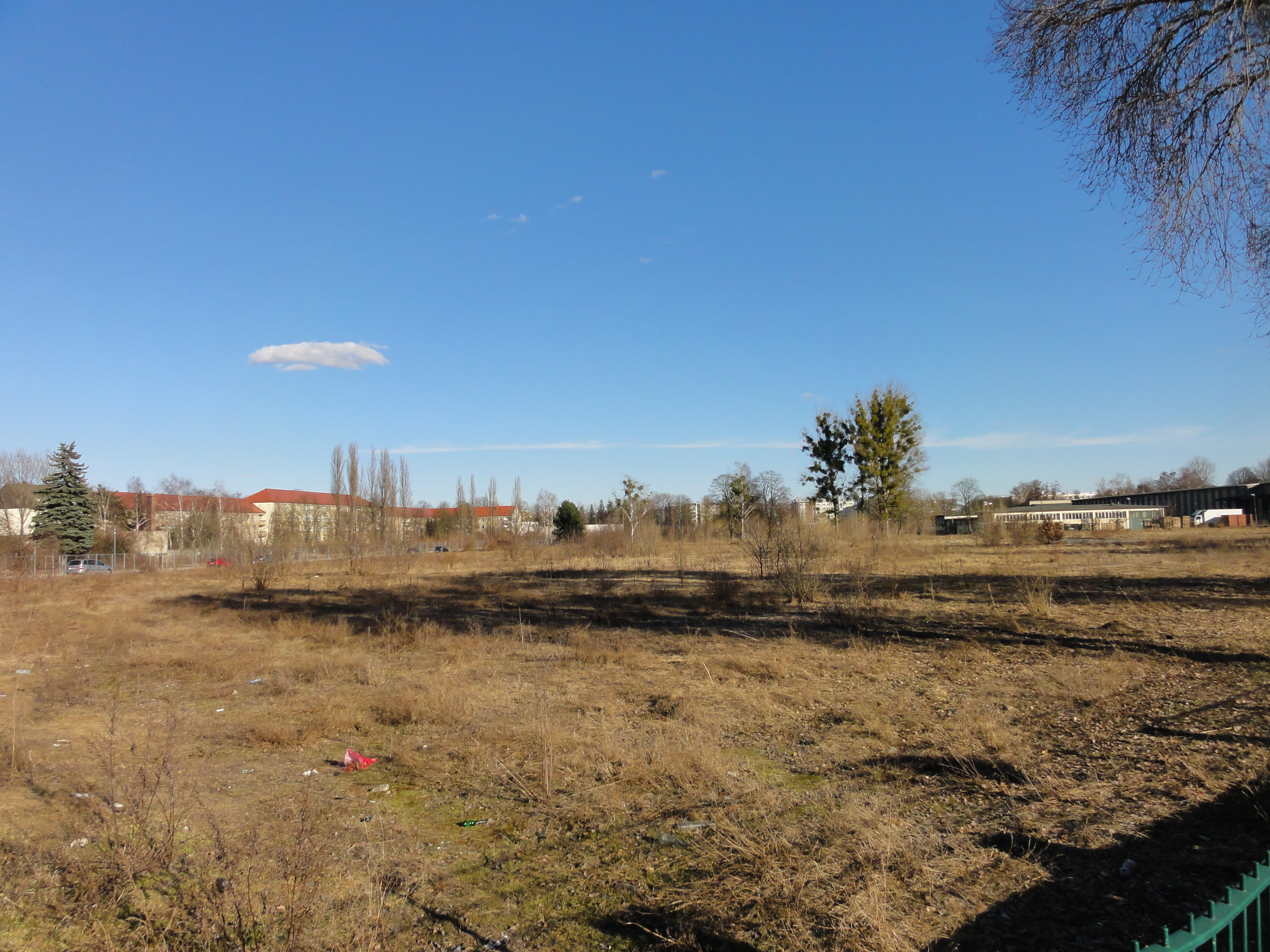
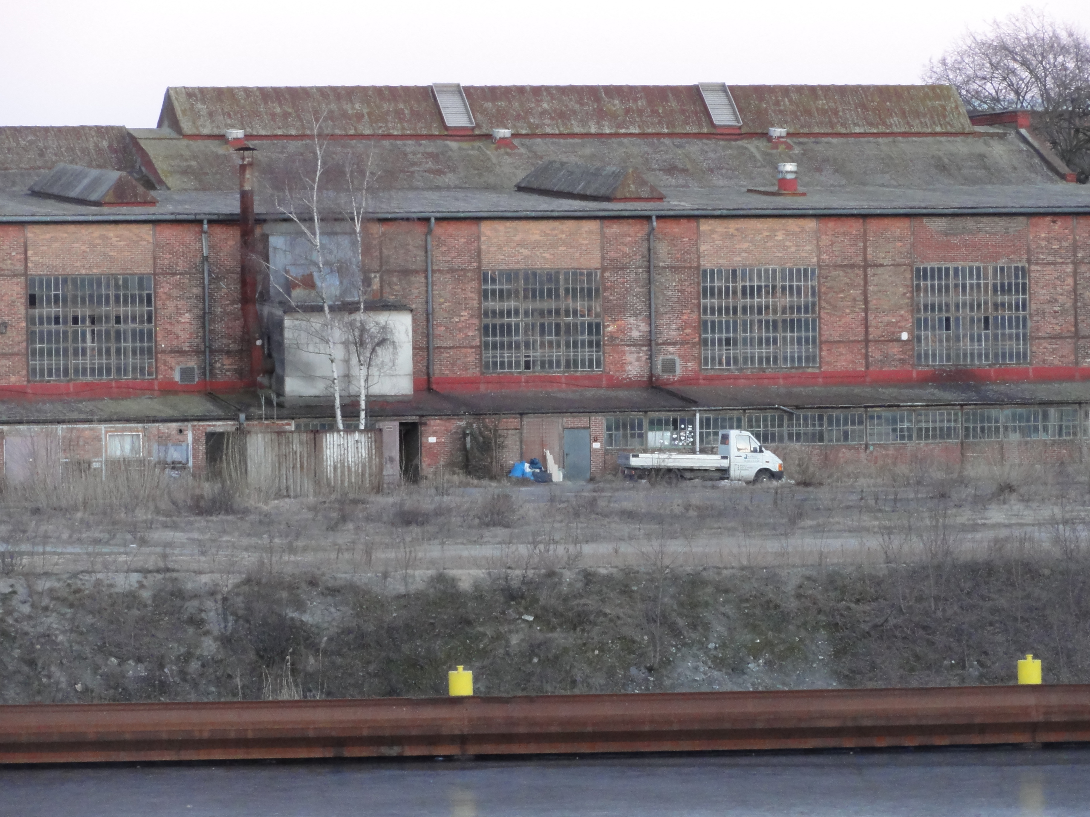
Of course Märkisches Viertel has its own heating and power station. You can see it to the left, just before entering the old settlement.
|
2011:01:23 13:27:37 11.75
°
©
ml
11.75
°
©
ml
|
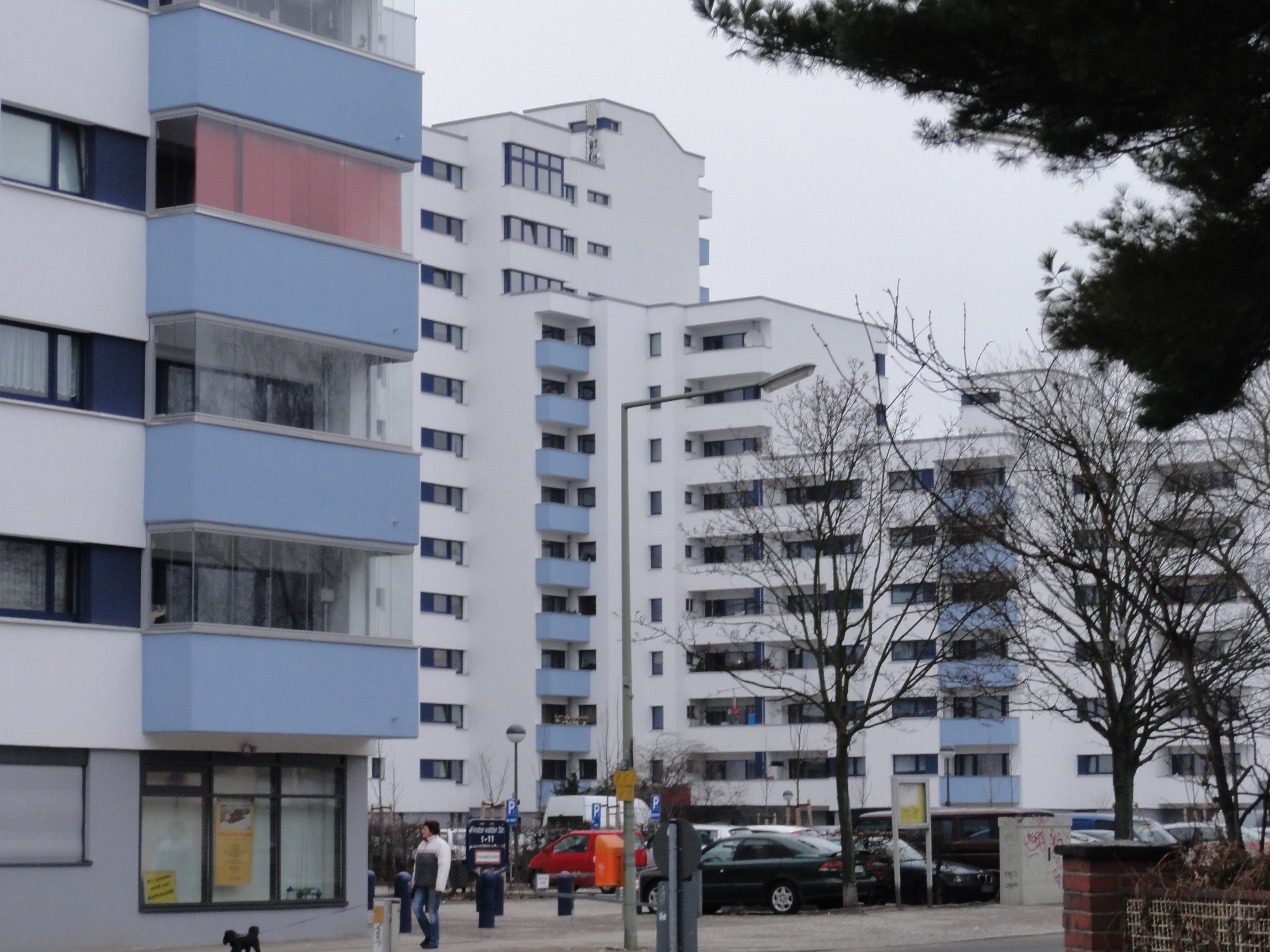
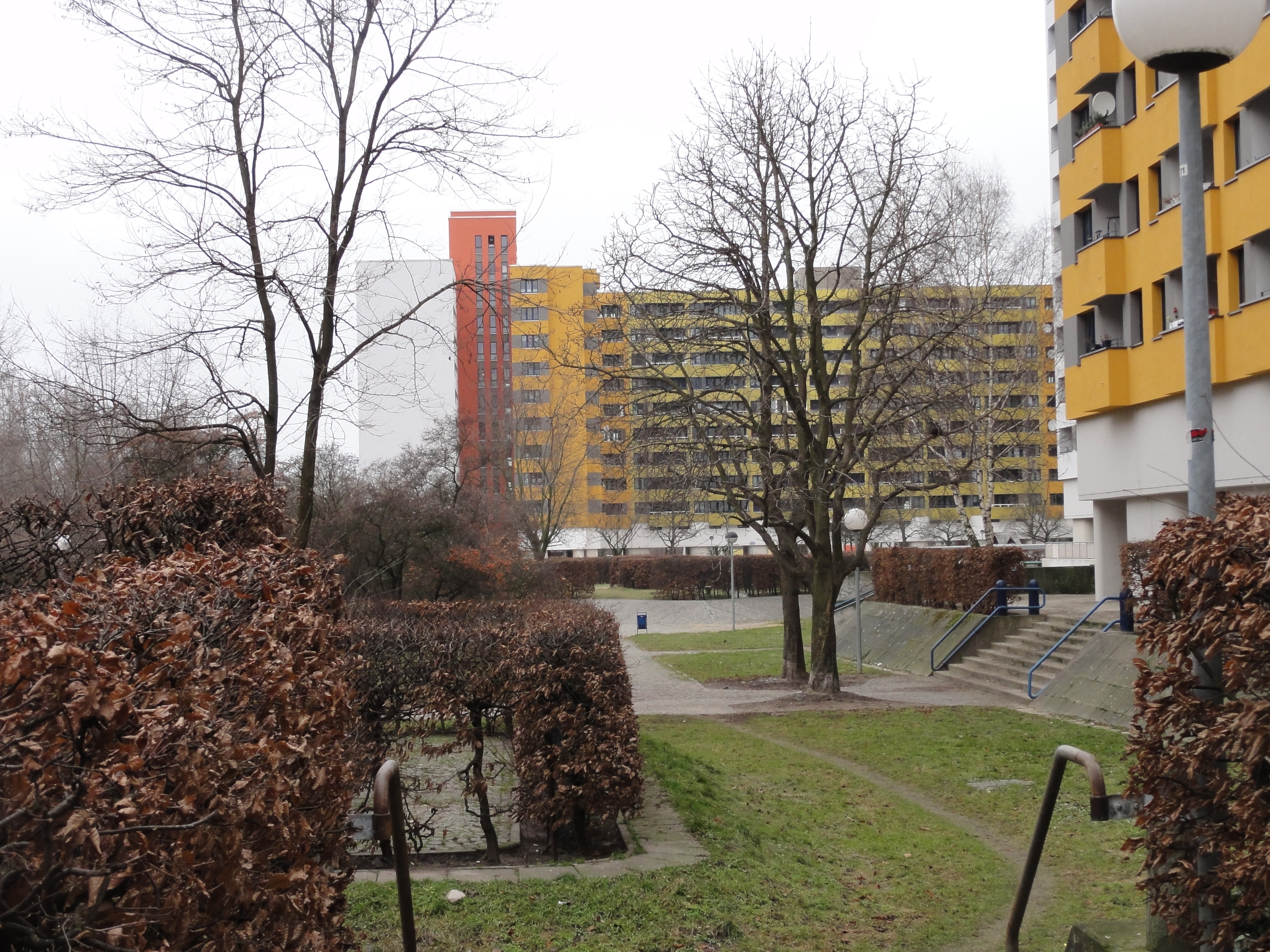
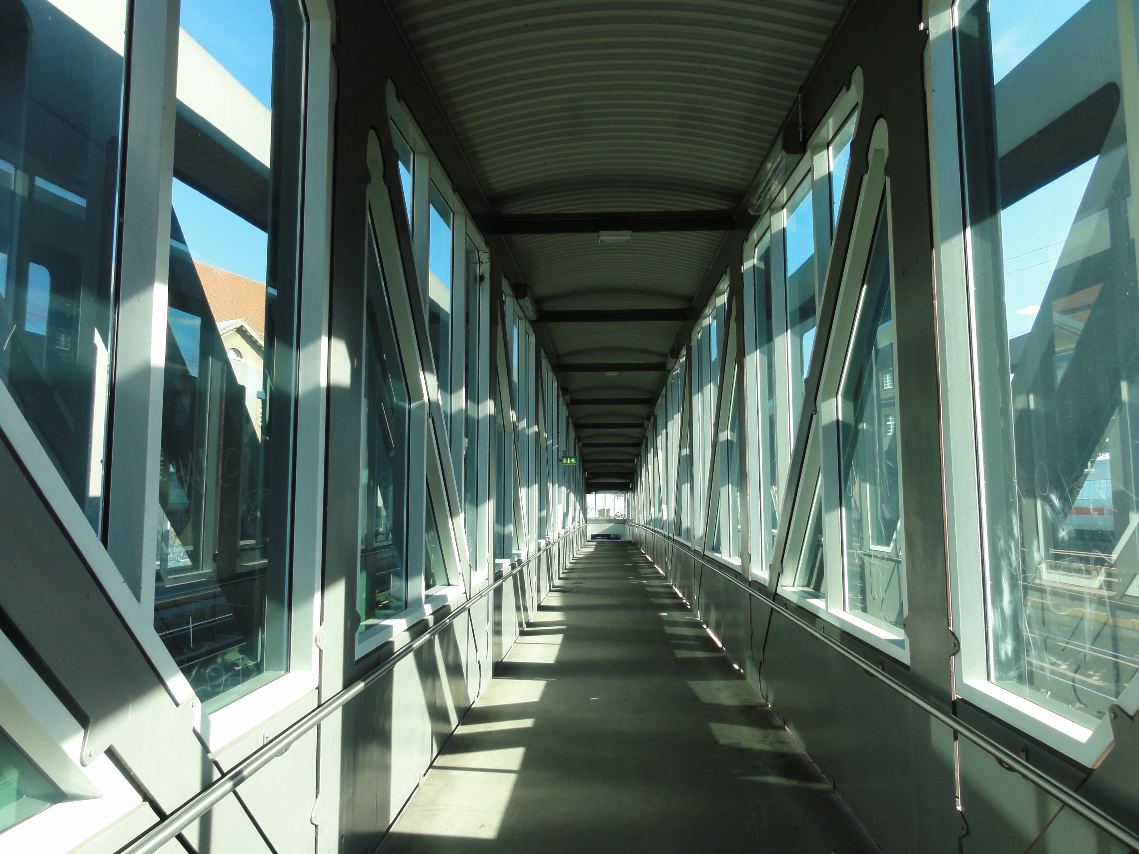
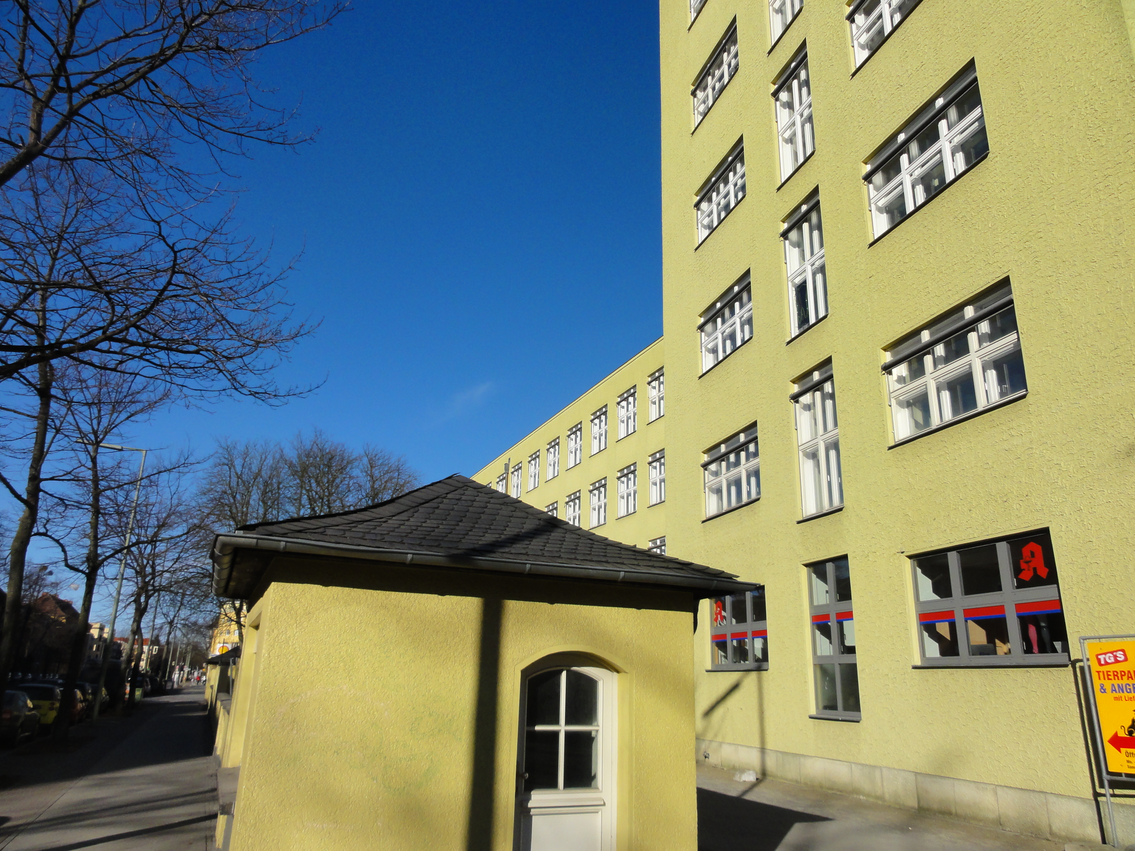
Once you've found the entrance you are in a
different world of its own.
(Do NOT follow the main street, it's too easy, and not SO interesting.
better find the passage beneath the big zig-zag building you are approaching!)
|
|
2011:01:23 13:28:25
296.75
°
©
ml
|
|
|
2011:01:23 13:40:19
---
52 deg 35' 49.82" N, 13 deg 20' 29.79" E
4.5
°
©
ml
|
|
2011:01:23 13:43:05
---
52 deg 35' 49.82" N, 13 deg 20' 29.79" E
 248.25
°
©
ml
248.25
°
©
ml
|
|
|
2011:01:23 13:43:33
---
52 deg 35' 50.25" N, 13 deg 21' 4.24" E
73
°
©
ml
|

|
|
2011:03:20 14:39:29
---
52 deg 35' 51.76" N, 13 deg 21' 12.74" E
306.5
°
©
ml
|
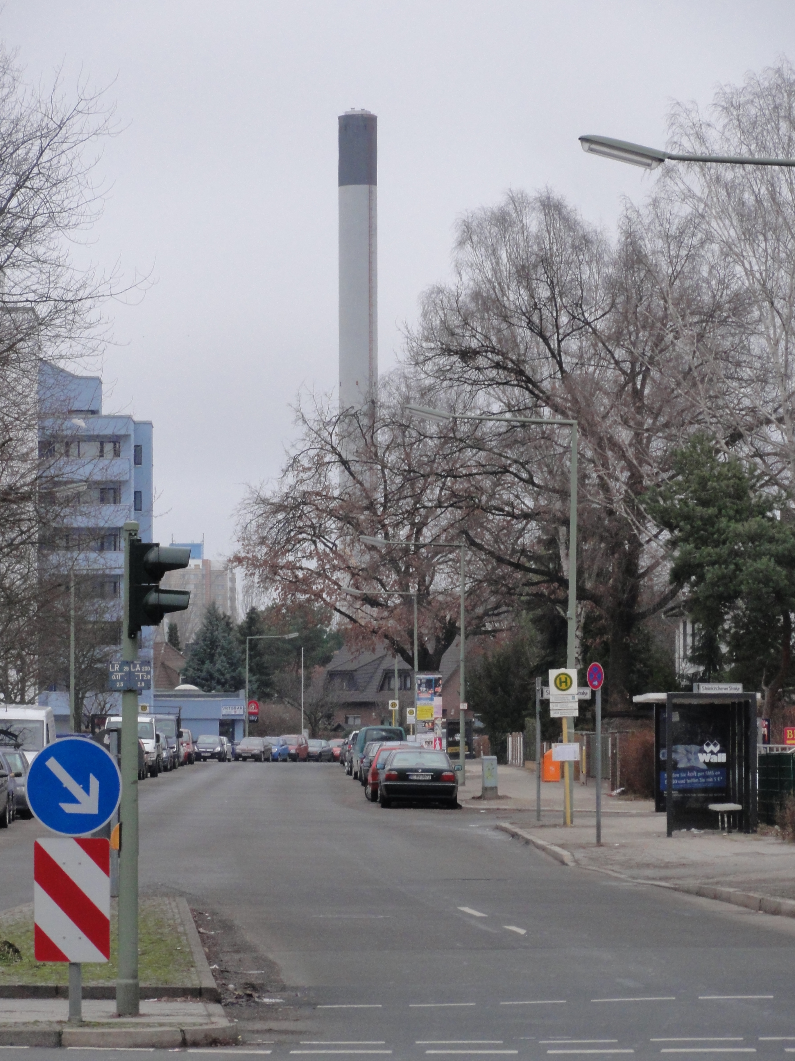
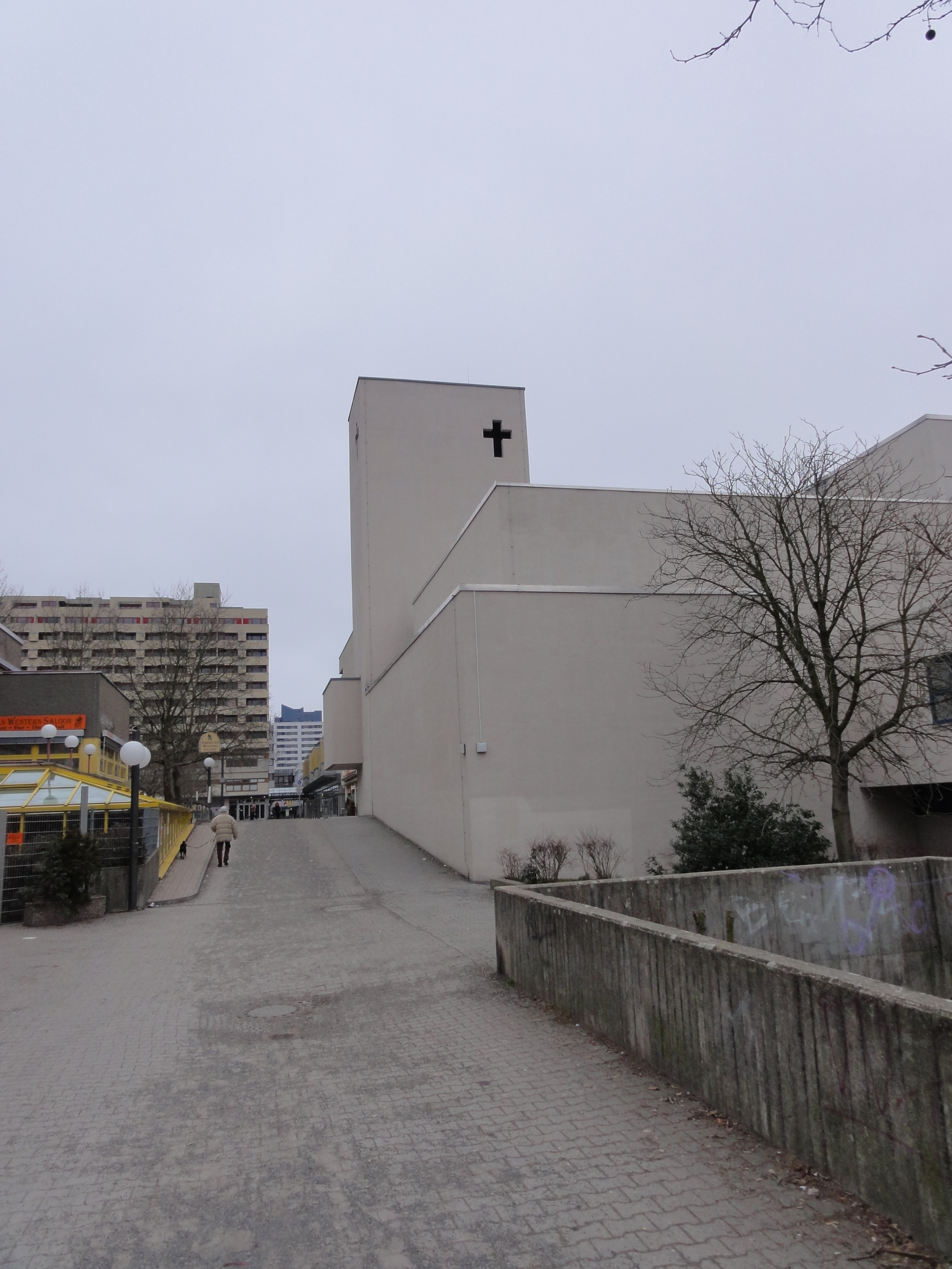
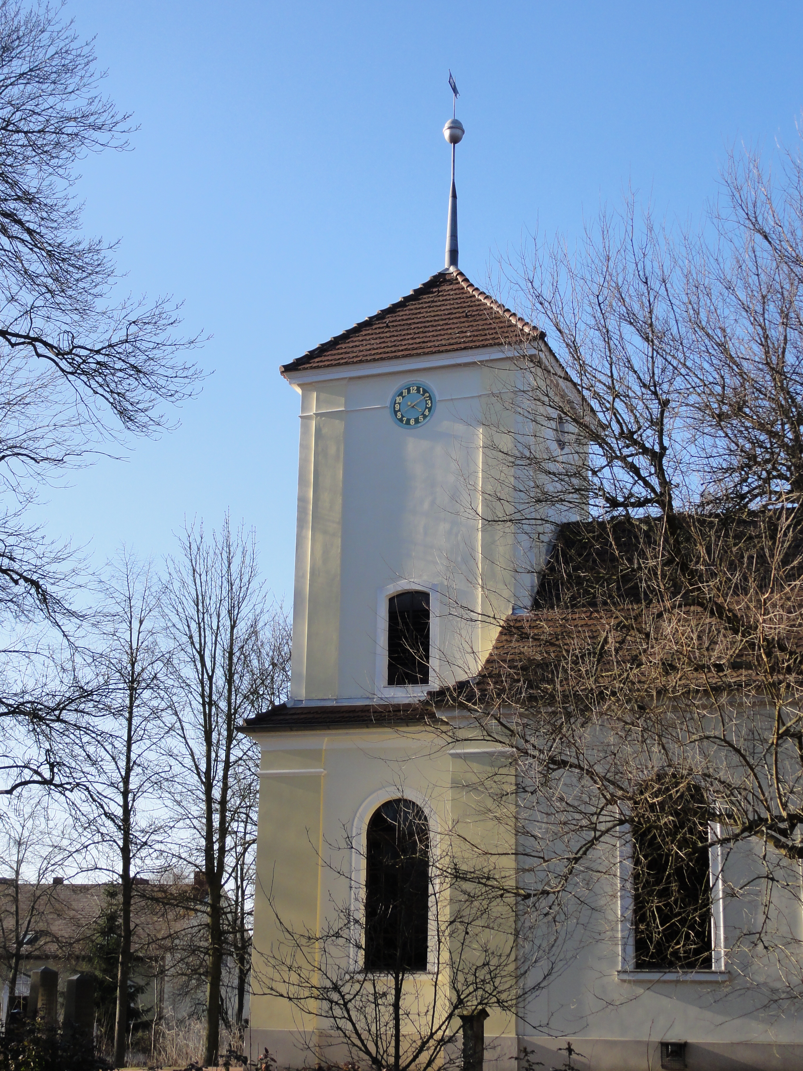
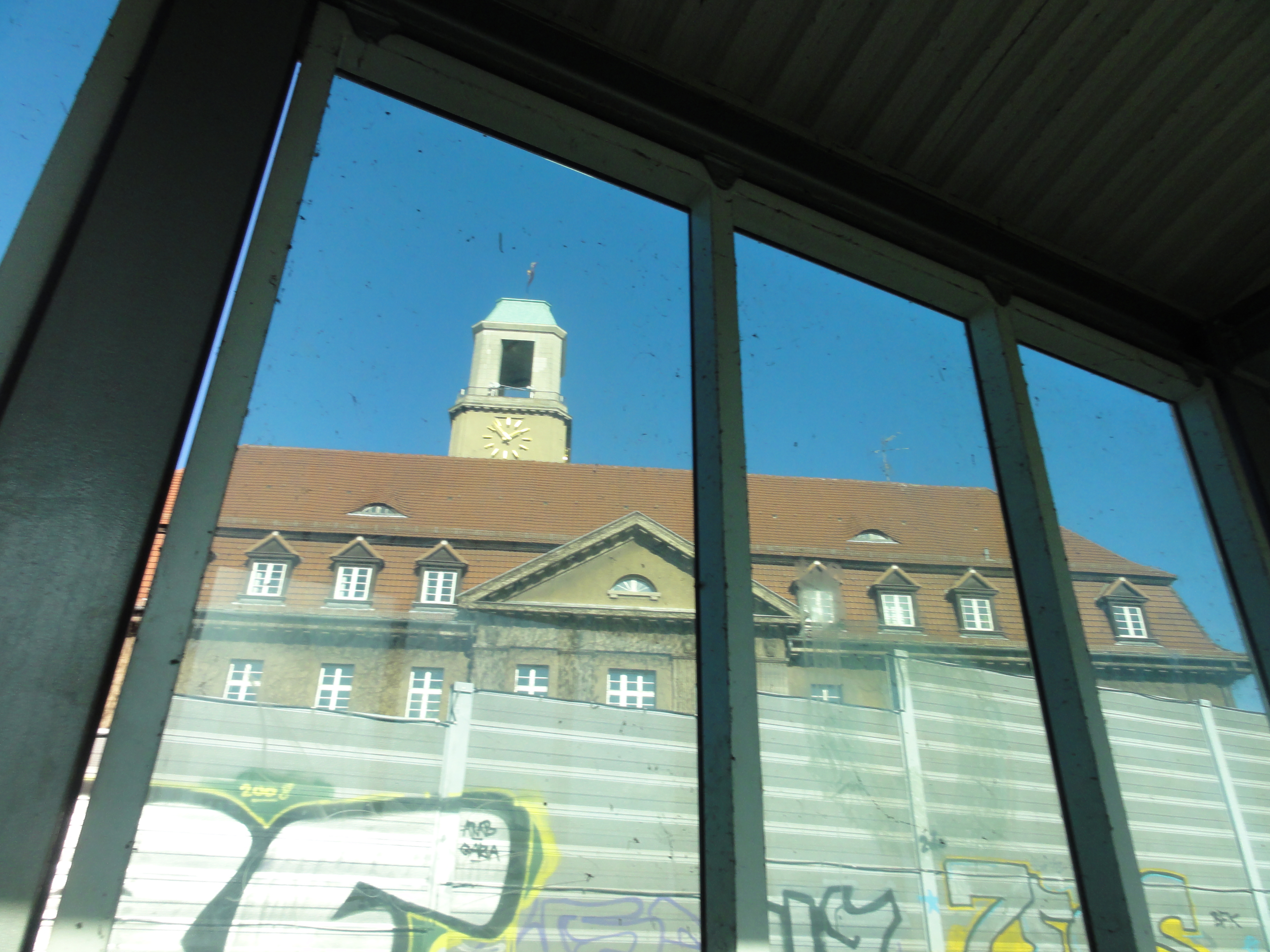
This negative-cross indicates the back of the church, the church indicates the shopping center!
|
2011:01:23 13:44:42
---
52 deg 35' 50.77" N, 13 deg 21' 6.68" E
 100.5
°
©
ml
100.5
°
©
ml
|
|
2011:01:23 13:47:53
---
52 deg 35' 50.68" N, 13 deg 21' 8.64" E
 177.25
°
©
ml
177.25
°
©
ml
|
|
2011:01:23 13:48:05
---
52 deg 35' 50.68" N, 13 deg 21' 8.64" E
 154.25
°
©
ml
154.25
°
©
ml
|
|
|
2011:03:20 14:38:00
---
277.75
°
©
ml
|

|
2011:01:23 13:51:11
---
52 deg 35' 52.58" N, 13 deg 21' 27.73" E
 343
°
©
ml
343
°
©
ml
|

|
|
2011:01:23 13:51:56
---
52 deg 35' 52.85" N, 13 deg 21' 28.77" E
108.25
°
©
ml
|
|
|
2011:01:23 13:52:26
---
52 deg 35' 52.85" N, 13 deg 21' 28.77" E
299.25
°
©
ml
|
|
|
2011:01:23 13:53:03
---
52 deg 35' 52.85" N, 13 deg 21' 28.77" E
355.75
°
©
ml
|
|
|
2011:01:23 13:53:30
---
52 deg 35' 53.50" N, 13 deg 21' 24.86" E
322.25
°
©
ml
|
|
|
2011:01:23 13:53:47
---
52 deg 35' 53.83" N, 13 deg 21' 26.09" E
346.5
°
©
ml
|
|
2011:01:23 13:53:56
---
52 deg 35' 53.65" N, 13 deg 21' 26.37" E
 196
°
©
ml
196
°
©
ml
|
|
|
2011:01:23 13:55:38
---
52 deg 35' 53.23" N, 13 deg 21' 26.64" E
357.25
°
©
ml
|
|
|
2011:01:23 13:55:54
---
52 deg 35' 53.27" N, 13 deg 21' 26.36" E
16.5
°
©
ml
|
|
|
2011:03:20 14:46:18
---
52 deg 35' 51.86" N, 13 deg 21' 12.91" E
152
°
©
ml
|

|
2011:03:20 14:50:25
---
52 deg 36' 9.23" N, 13 deg 21' 22.05" E
 41
°
©
ml
41
°
©
ml
|
|
|
2011:03:20 15:00:37
---
52 deg 36' 13.32" N, 13 deg 21' 53.36" E
60
°
©
ml
|
The inhabitants here have save ways to school and Kindergarten for their children, and their own river (very romantic !-)
|
|
2011:03:20 14:46:36
---
52 deg 36' 1.04" N, 13 deg 21' 15.18" E
96.75
°
©
ml
|
|
|
2011:03:20 14:50:08
---
52 deg 36' 1.10" N, 13 deg 21' 15.54" E
67.75
°
©
ml
|
|
|
2011:03:20 14:50:40
---
52 deg 36' 9.34" N, 13 deg 21' 22.13" E
88.5
°
©
ml
|
|
|
2011:03:20 14:55:27
---
52 deg 36' 9.98" N, 13 deg 21' 39.23" E
8.5
°
©
ml
|
|
|
2011:03:20 14:55:56
---
52 deg 36' 10.14" N, 13 deg 21' 39.51" E
60.75
°
©
ml
|
|
|
2011:01:23 13:58:43
---
52 deg 35' 58.19" N, 13 deg 21' 36.50" E
286
°
©
ml
|
|
2011:01:23 15:14:29
---
52 deg 36' 20.34" N, 13 deg 21' 51.55" E
 221.5
°
©
ml
221.5
°
©
ml
|
As if cut, you are again in a new world as soon you've left this
Ancient Ring of Stones!
Follow the river!
|
|
2011:01:23 14:01:40
---
52 deg 35' 59.06" N, 13 deg 21' 40.81" E
73.25
°
©
ml
|
|
|
2011:01:23 14:01:51
---
52 deg 35' 58.71" N, 13 deg 21' 43.12" E
73.5
°
©
ml
|
|
|
2011:01:23 14:04:46
---
52 deg 35' 58.76" N, 13 deg 21' 45.92" E
84.25
°
©
ml
|
|
|
2011:01:23 14:07:14
---
52 deg 35' 57.95" N, 13 deg 22' 0.19" E
76.75
°
©
ml
|
Don't you look back !
|
|
2011:01:23 14:07:48
---
52 deg 35' 57.72" N, 13 deg 22' 1.27" E
318.75
°
©
ml
|
|
|
2011:01:23 14:08:25
---
52 deg 35' 57.58" N, 13 deg 22' 1.64" E
305.5
°
©
ml
|
Turn LEFT as soon as you reach the MAUERWEG, the old border:
|
|
2011:01:23 14:16:42
---
52 deg 35' 57.84" N, 13 deg 22' 4.19" E
11.25
°
©
ml
|
|
|
2011:01:23 14:18:27
---
52 deg 36' 7.00" N, 13 deg 22' 23.45" E
64.5
°
©
ml
|
|
|
2011:01:23 14:18:39
---
52 deg 36' 6.74" N, 13 deg 22' 23.12" E
96.75
°
©
ml
|
|
|
2011:01:23 14:18:49
---
52 deg 36' 6.83" N, 13 deg 22' 23.28" E
303.25
°
©
ml
|
The old cemetry was probably not in use during "Ostzeiten", too close the the wall!
|
|
2011:01:23 14:26:17
---
52 deg 36' 19.94" N, 13 deg 22' 35.06" E
89.25
°
©
ml
|
|
|
2011:01:23 14:27:07
---
52 deg 36' 20.61" N, 13 deg 22' 33.89" E
112.75
°
©
ml
|
Now this road it's in the middle of nowhere, and no-one would spend money for ILLUMINATION. But it was part of the border separating the "world":
|
|
2011:01:23 14:26:30
---
52 deg 36' 20.48" N, 13 deg 22' 34.65" E
20.25
°
©
ml
|
|
|
2011:01:23 14:27:23
---
52 deg 36' 20.85" N, 13 deg 22' 34.55" E
22.25
°
©
ml
|
In parallel runs the Heidekrautbahn. Beware! Its still in use!
|
|
2011:01:23 14:31:44
---
52 deg 36' 24.43" N, 13 deg 22' 32.56" E
27.5
°
©
ml
|
Hereafter is NOTHING!
NIRWANA!
BRANDENBURG!
You'll find villages where not even the pub survived!
On the other hand: In summer this is
an ocean of wild flowers and herbs! Then it smells like
La Provence ! (well, NEARLY !-)
The masses on the horizon are the famous and dangerous
Barnim mountains , still unconquered by Mr Messner!
|
|
2011:01:23 14:28:26
---
52 deg 36' 23.03" N, 13 deg 22' 35.90" E
17.25
°
©
ml
|
|
|
2011:01:23 14:29:02
---
52 deg 36' 23.21" N, 13 deg 22' 35.53" E
351.25
°
©
ml
|
|
|
2011:01:23 14:33:06
---
52 deg 36' 24.49" N, 13 deg 22' 32.08" E
345.75
°
©
ml
|
|
|
2011:01:23 14:41:45
---
52 deg 36' 32.25" N, 13 deg 22' 19.28" E
111
°
©
ml
|
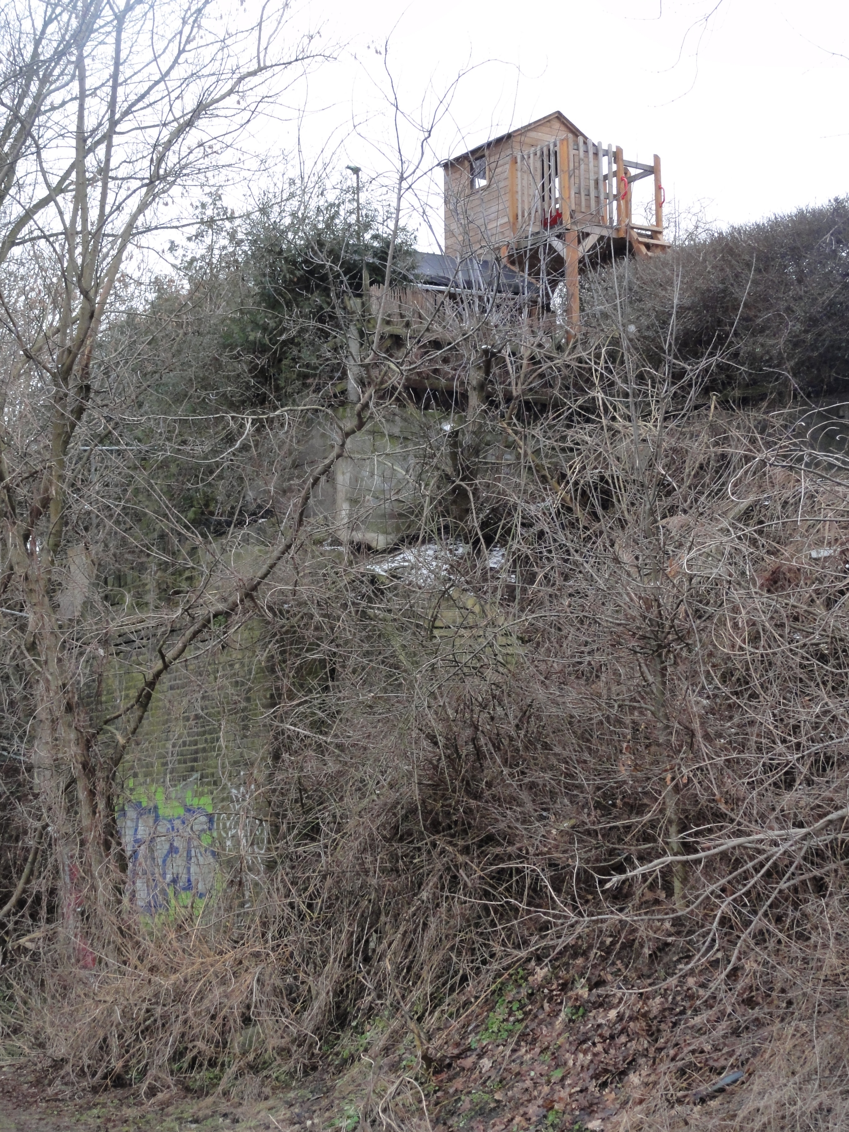
Tell me, what here is nature, what is man-made, what is rock, wall,
tree and tree house?
When you see this crazy thing to your left, turn left and
zig-zig towards the next higher mountain!
|
|
2011:01:23 14:31:26
---
52 deg 36' 24.33" N, 13 deg 22' 32.98" E
224.25
°
©
ml
|
|
|
2011:01:23 14:33:26
---
52 deg 36' 25.67" N, 13 deg 22' 29.21" E
274
°
©
ml
|
|
2011:01:23 14:35:17
---
52 deg 36' 26.82" N, 13 deg 22' 24.63" E
 238.5
°
©
ml
238.5
°
©
ml
|
|
|
2011:01:23 14:38:18
---
52 deg 36' 31.45" N, 13 deg 22' 21.35" E
187.5
°
©
ml
|
|
|
2011:01:23 14:39:13
---
52 deg 36' 31.57" N, 13 deg 22' 19.70" E
239.25
°
©
ml
|
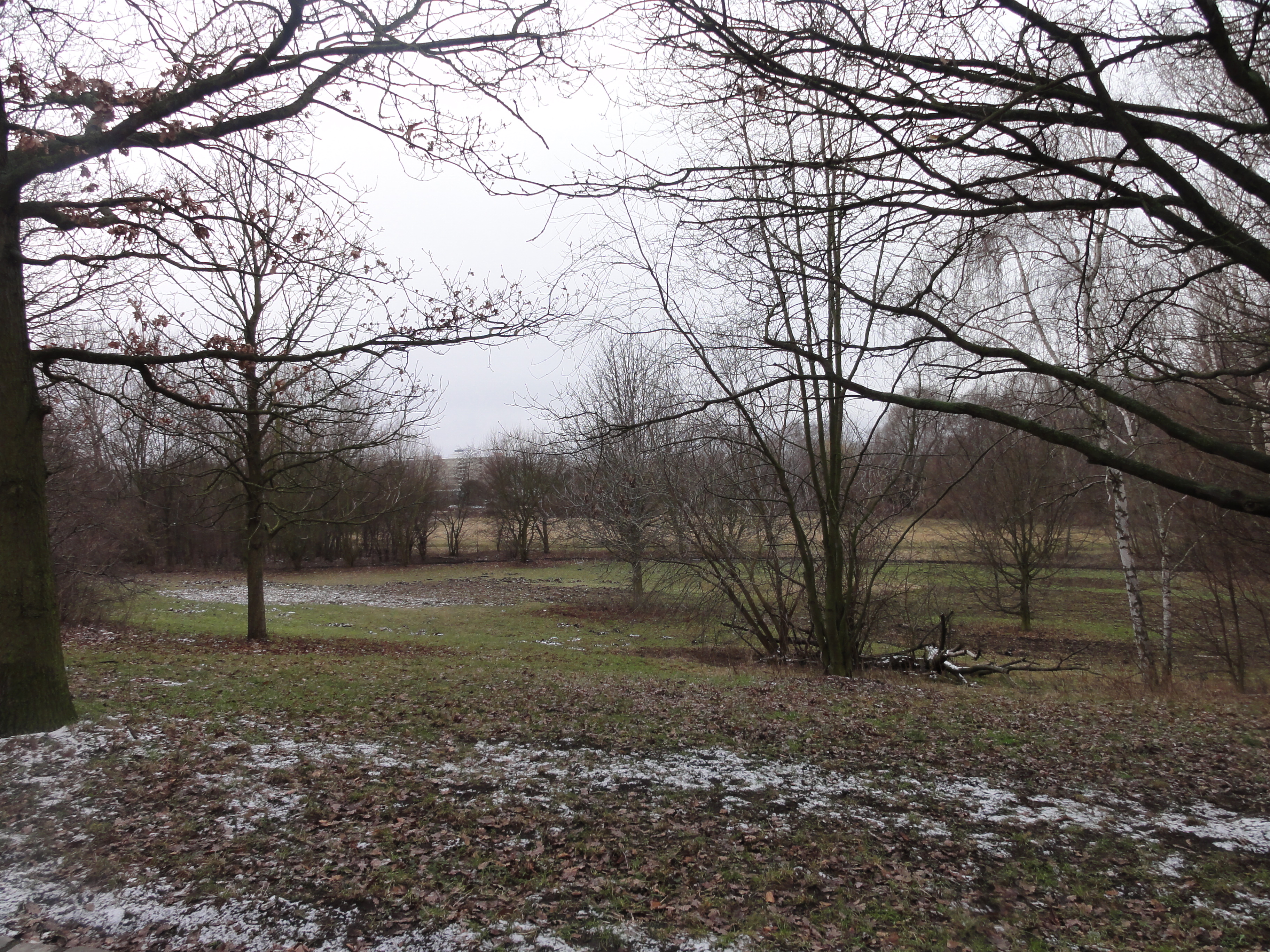
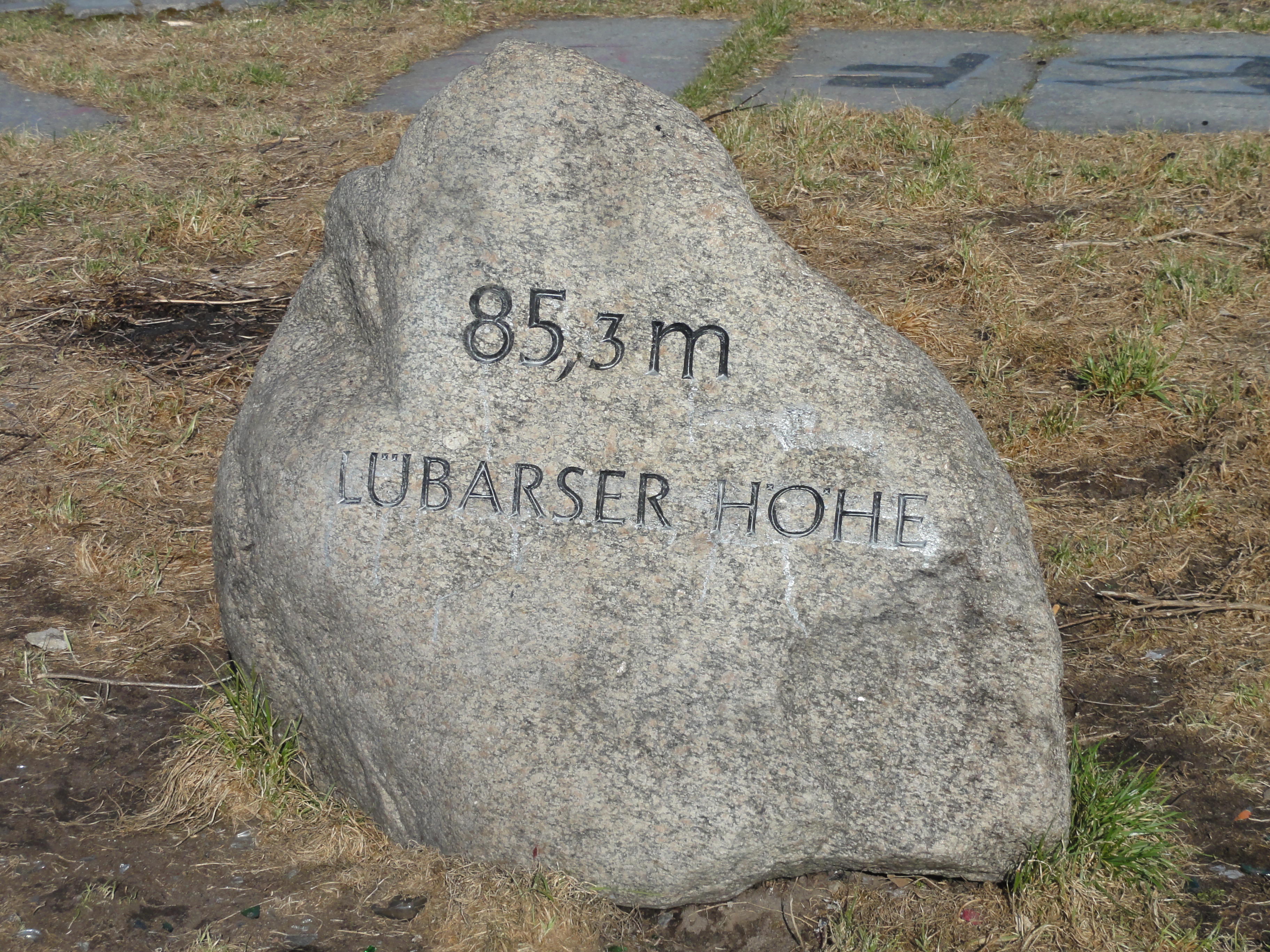
Now climb the mountain! It's worth the effort! At clear days you can see the Barnim!!! (and the Fernsehturm!)
|
|
2011:03:20 15:30:39
---
52 deg 36' 36.83" N, 13 deg 22' 13.59" E
71.25
°
©
ml
|
|
|
2011:01:23 14:52:18
---
52 deg 36' 36.10" N, 13 deg 22' 13.26" E
221.25
°
©
ml
|
|
|
2011:01:23 14:52:26
---
52 deg 36' 36.44" N, 13 deg 22' 13.29" E
224.5
°
©
ml
|
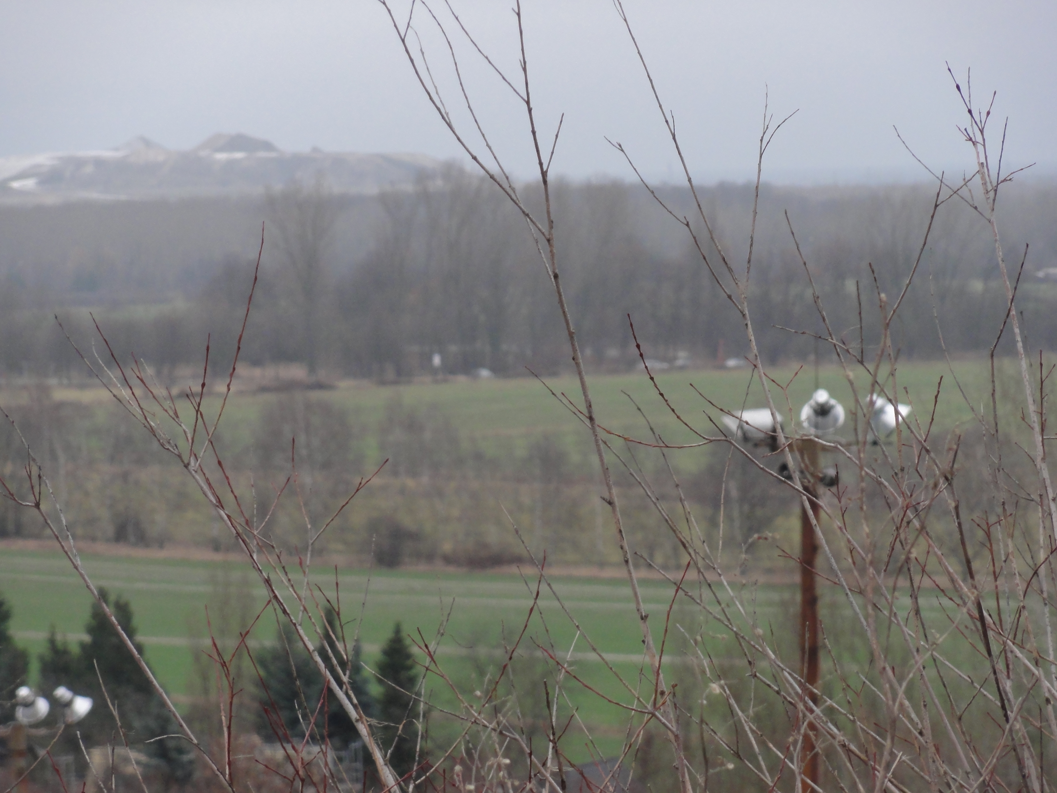
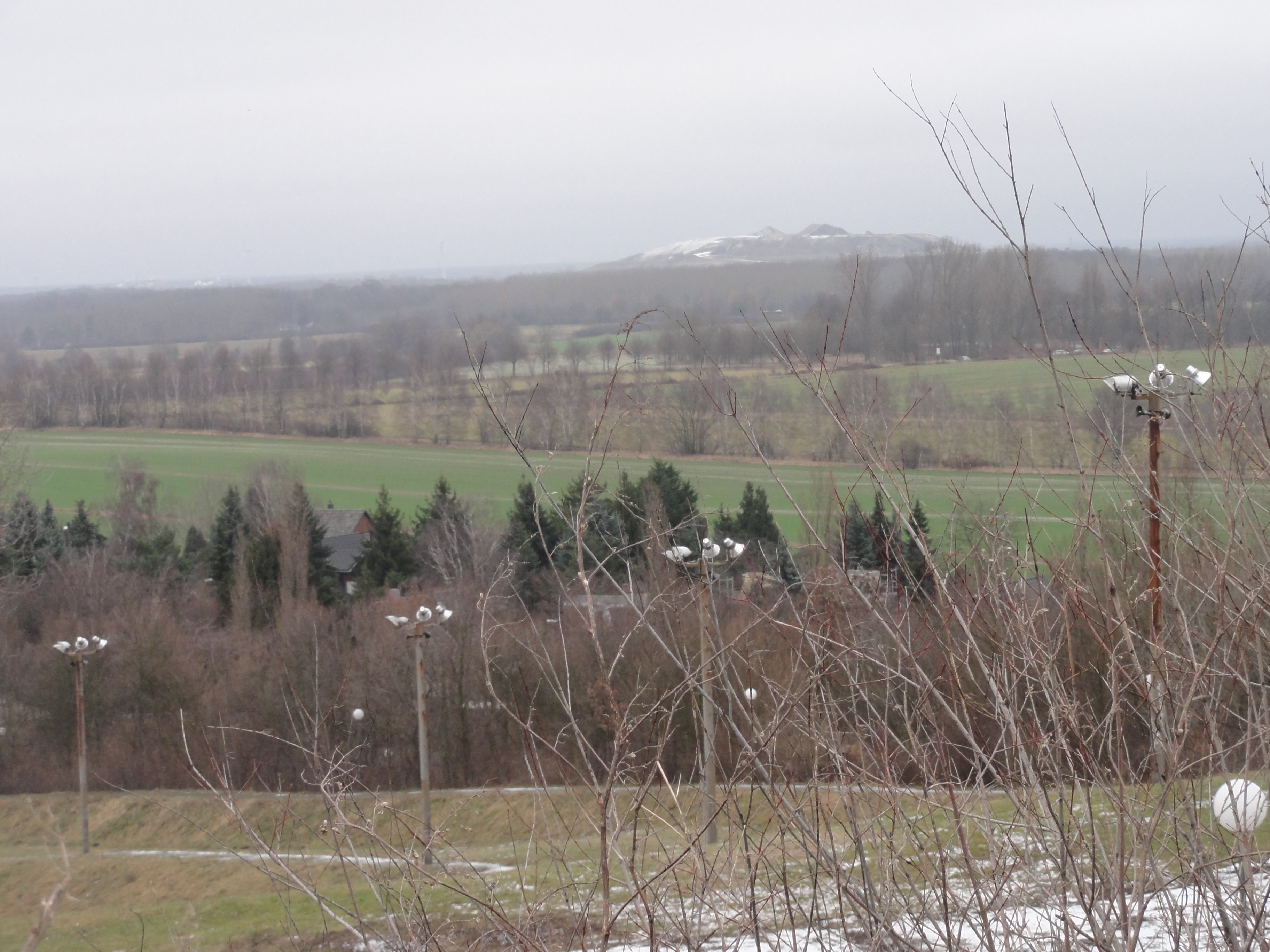
At the horizon, the NEXT MOUNTAIN (one as artificial as the other,
of course, thanks to English bombers !-)
I really got alpine feelings, not only because of so many mountains,
but also because here is a professional ski and "Rodel" course.
Its professional becaue it has flood light .
(But I do not know whether it's ever switched on, because of the costs ?-)
|
|
2011:01:23 14:53:18
---
52 deg 36' 37.21" N, 13 deg 22' 13.82" E
19.75
°
©
ml
|
|
|
2011:01:23 14:53:32
---
52 deg 36' 37.22" N, 13 deg 22' 13.86" E
19.5
°
©
ml
|
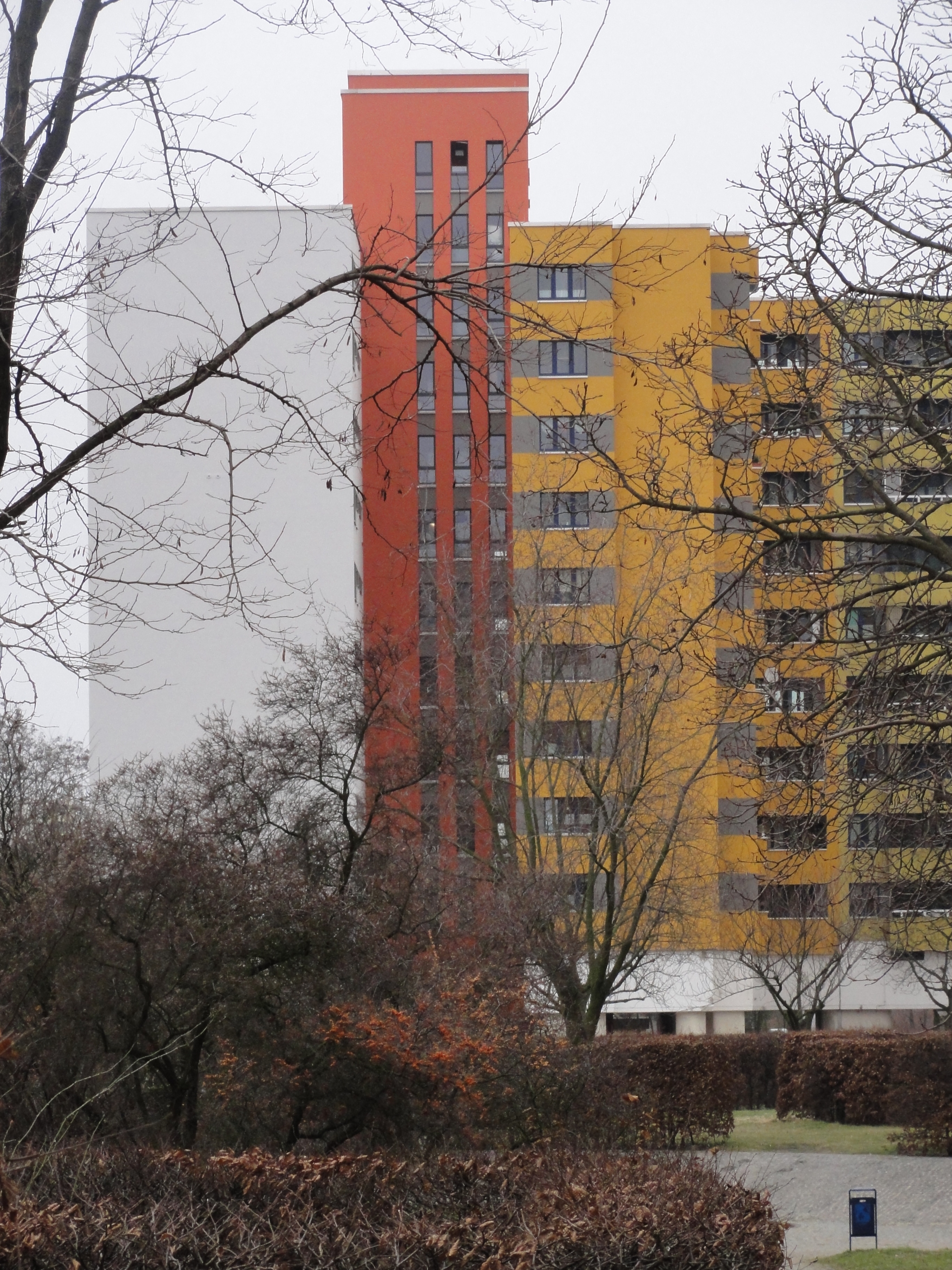
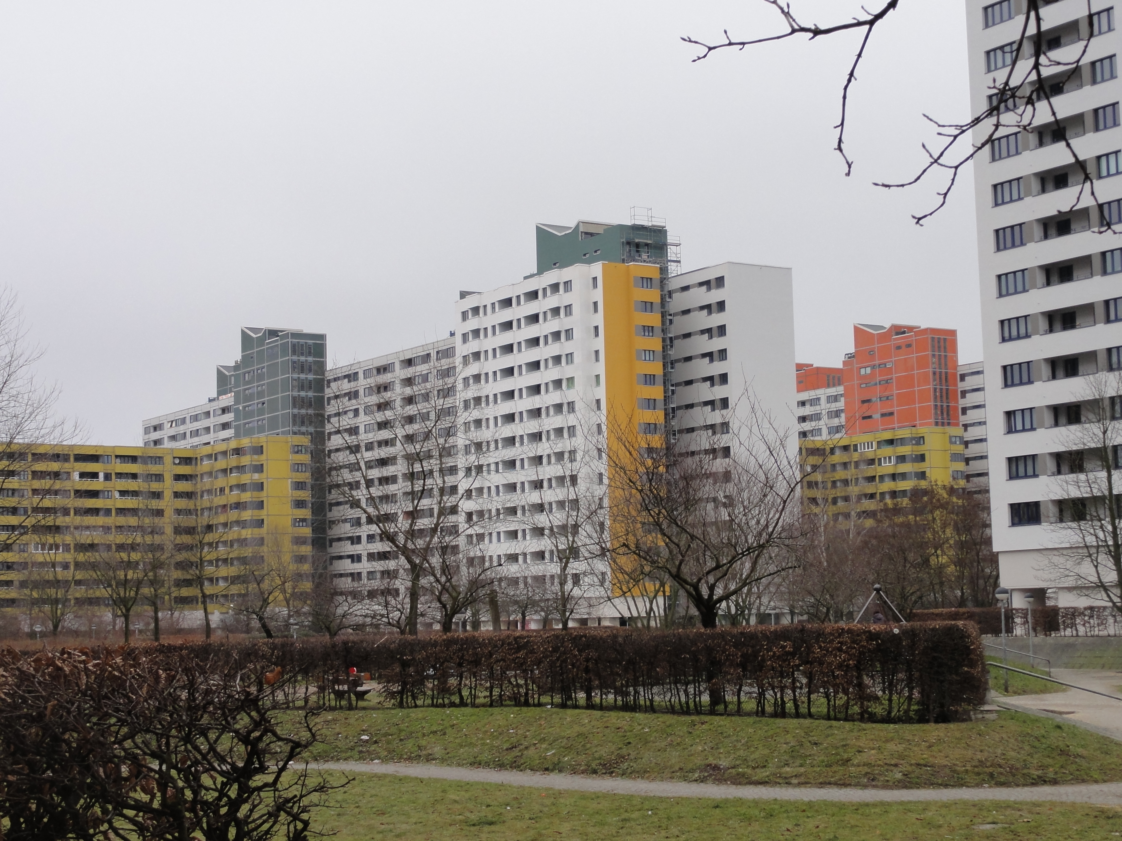
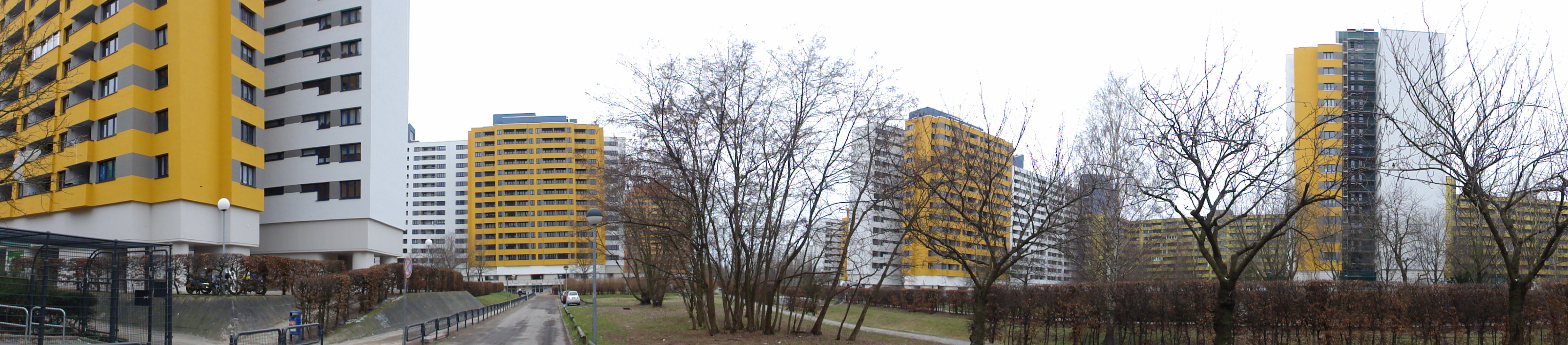
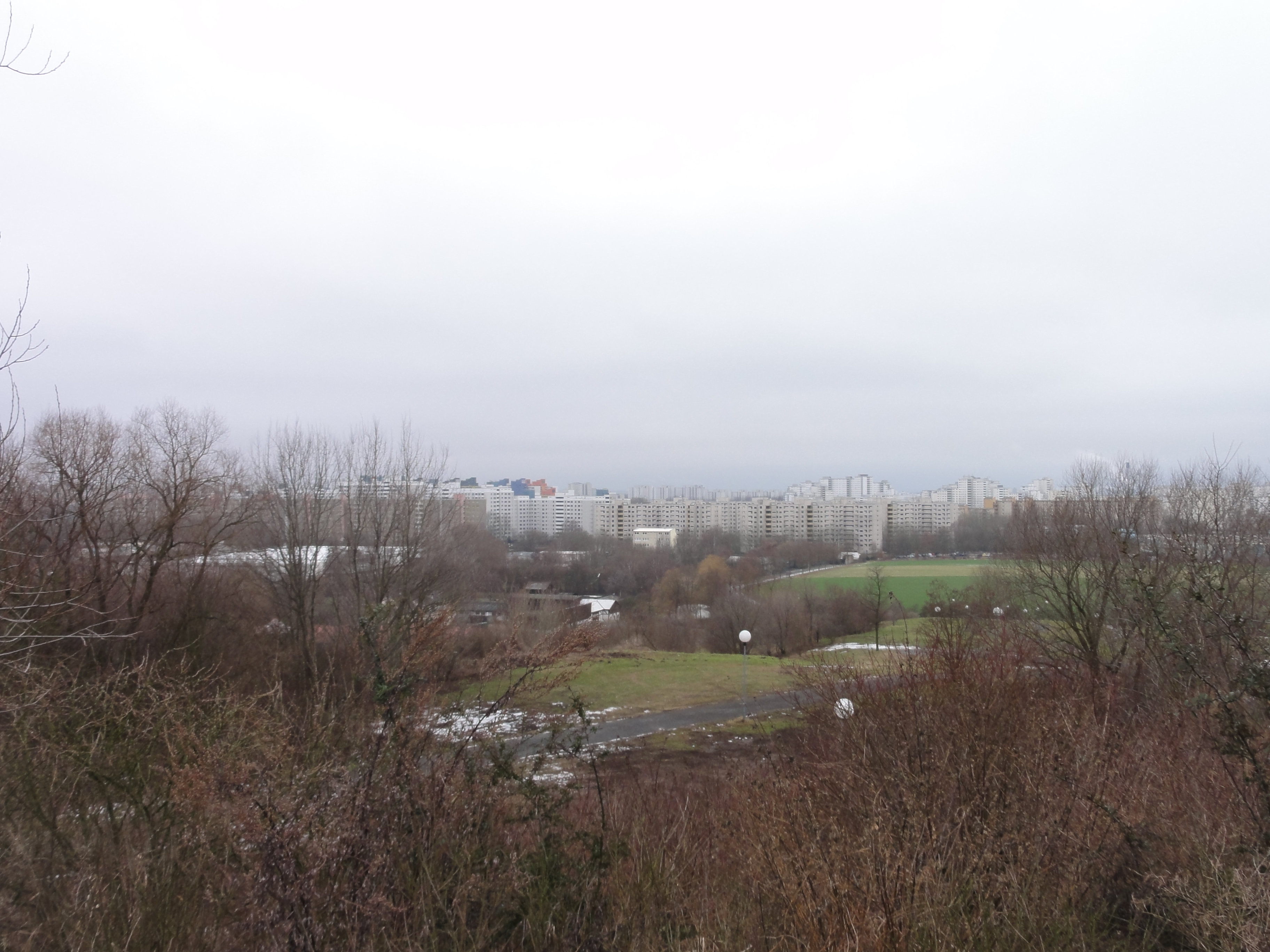
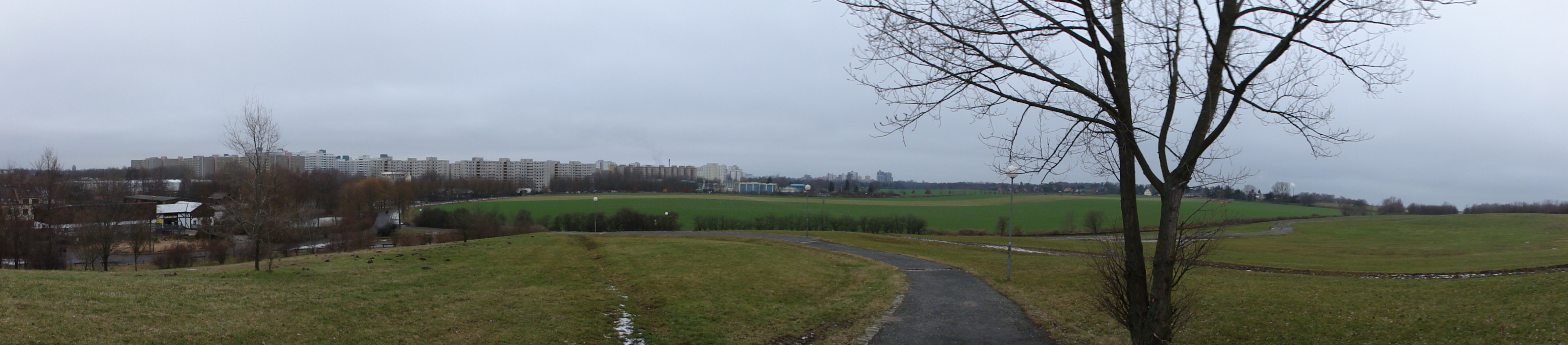
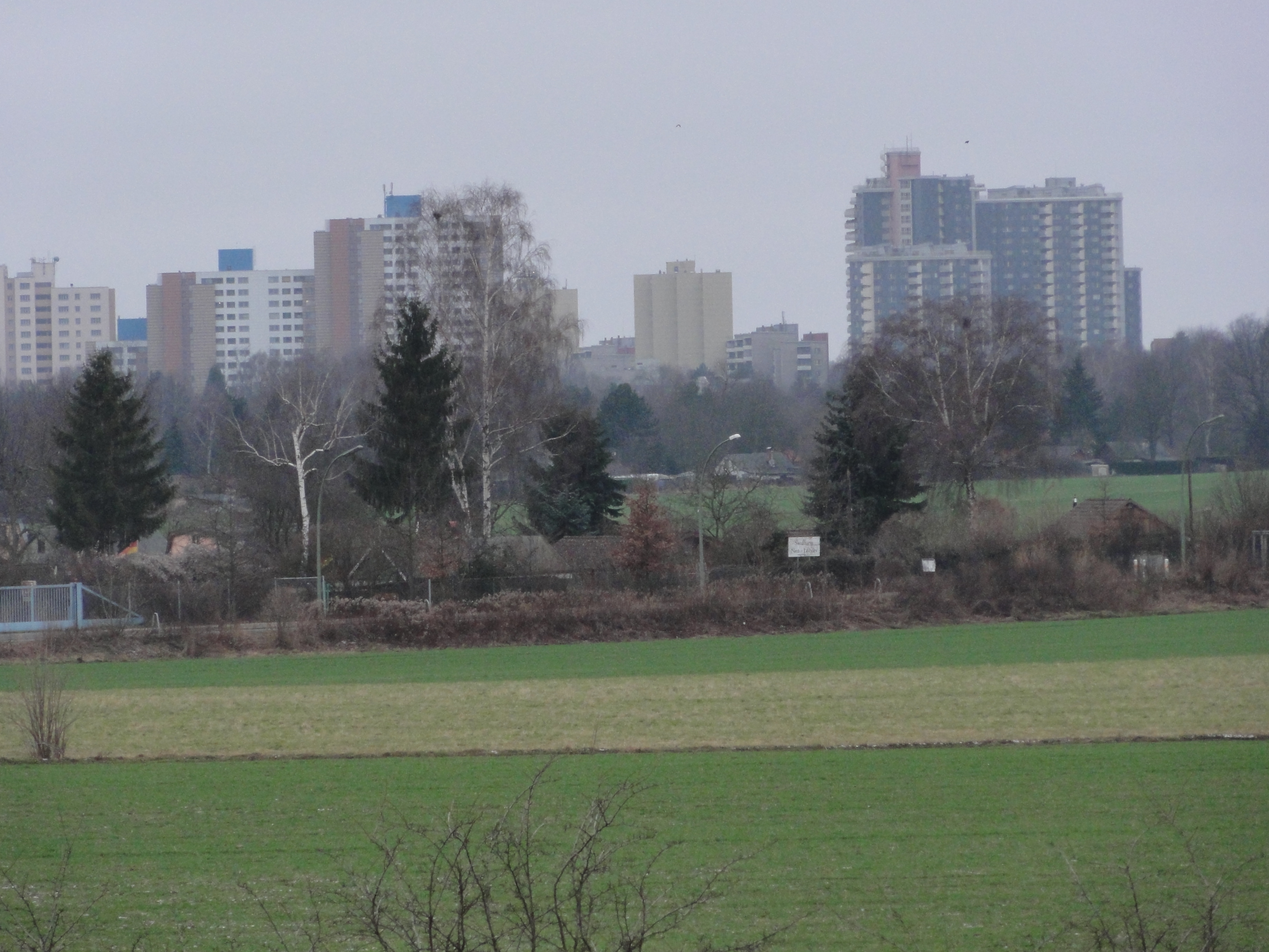
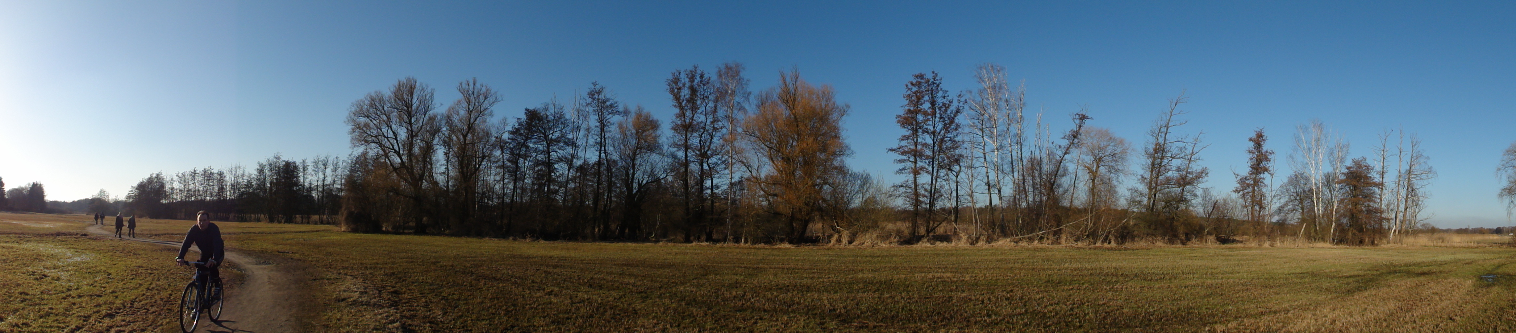
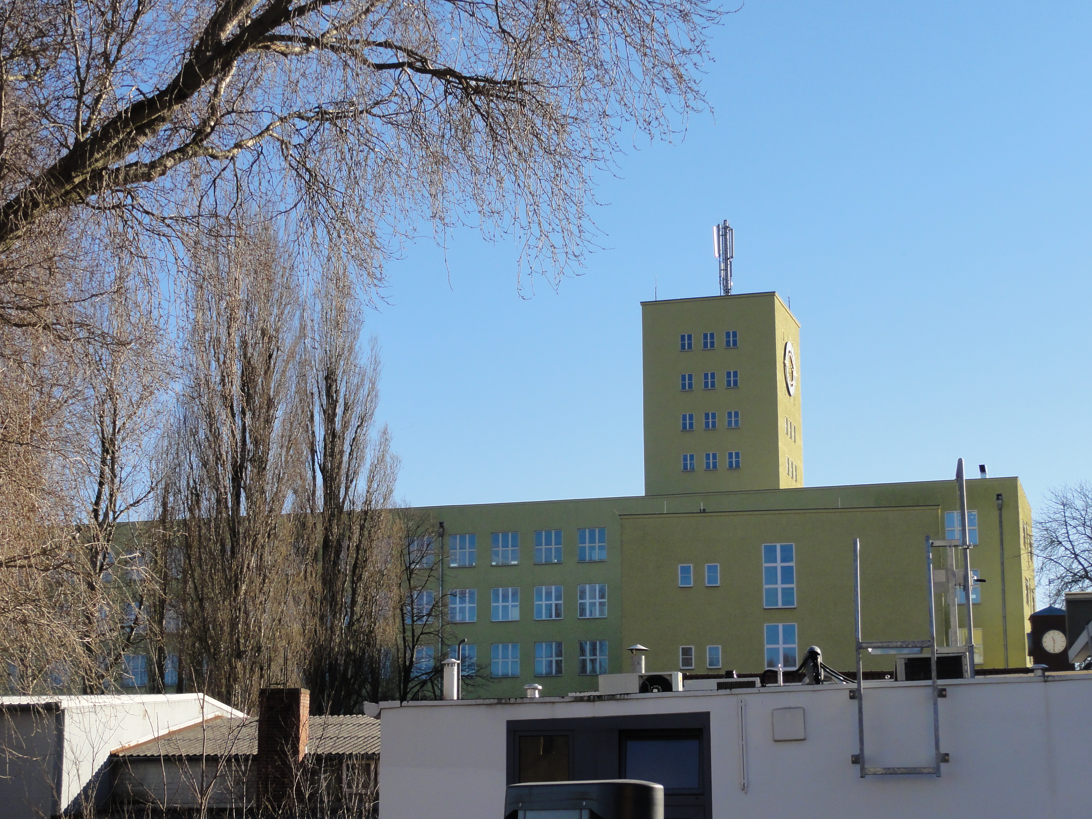
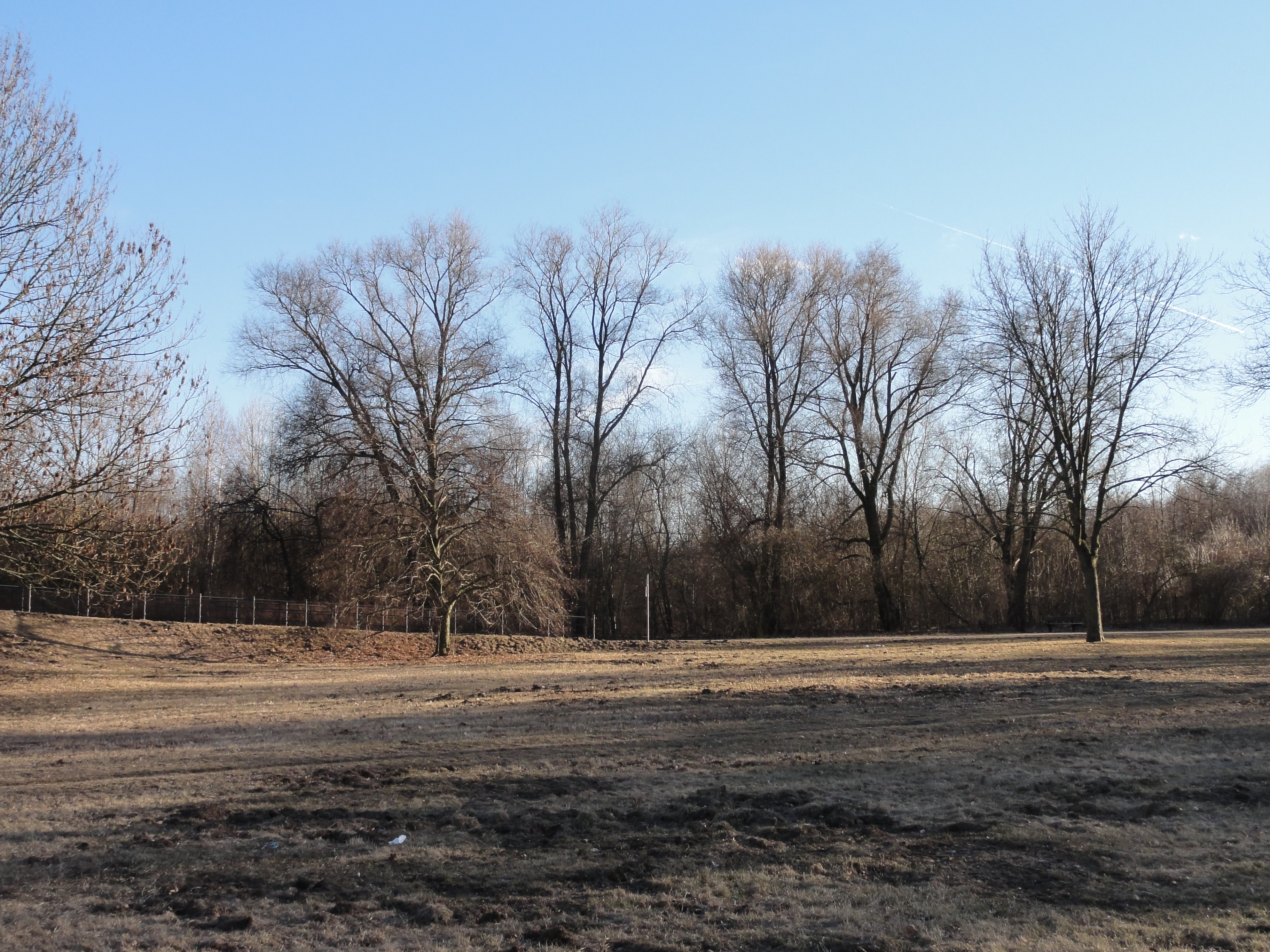
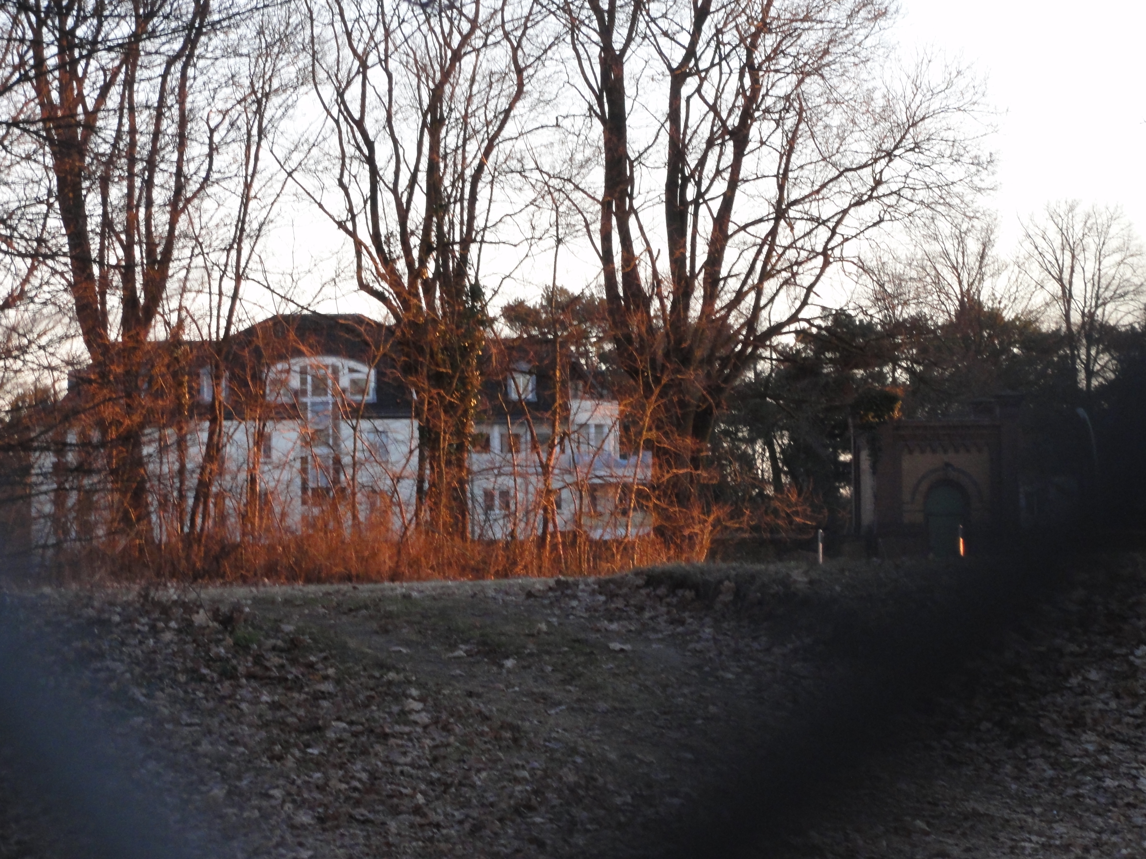
Anyhow, you have an impressive view back to Märkisches Viertel:
|
|
2011:01:23 15:04:01
---
52 deg 36' 33.23" N, 13 deg 22' 4.07" E
206.5
°
©
ml
|
|
|
2011:01:23 15:00:29
---
52 deg 36' 35.83" N, 13 deg 22' 10.13" E
259.5
°
©
ml
|
|
|
2011:01:23 15:05:00
---
52 deg 36' 33.02" N, 13 deg 22' 2.34" E
257.5
°
©
ml
|
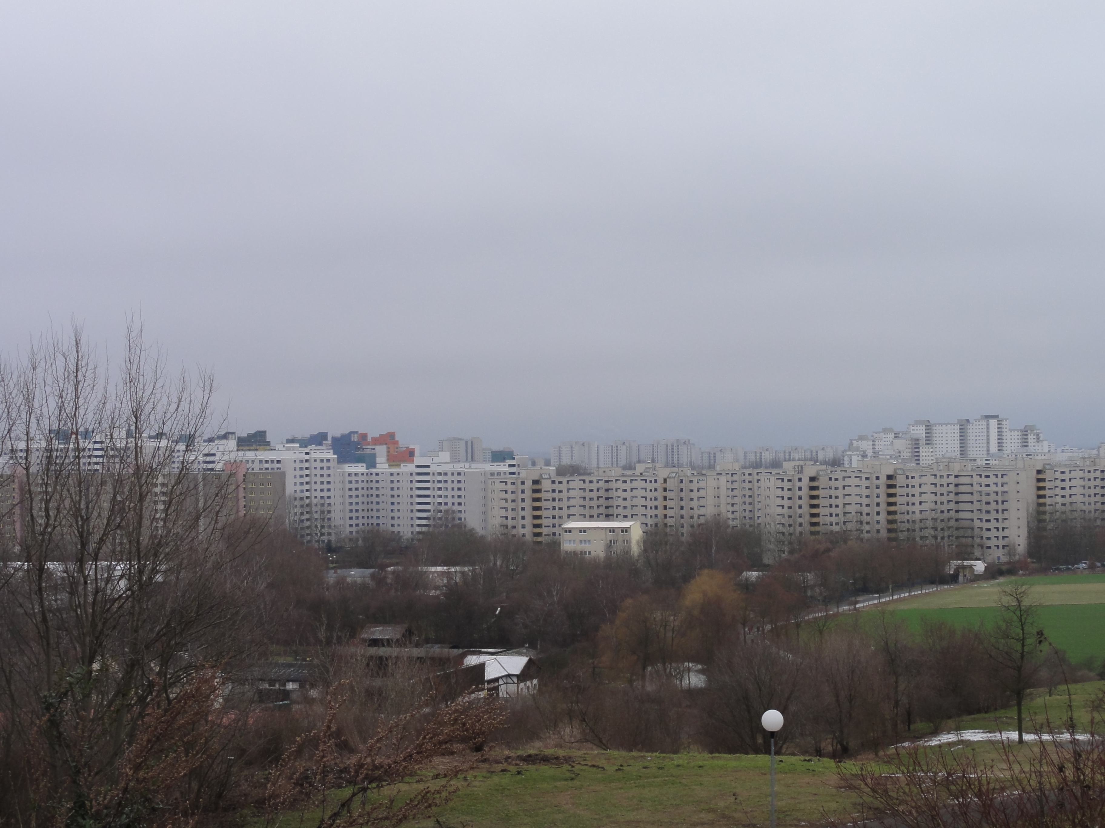
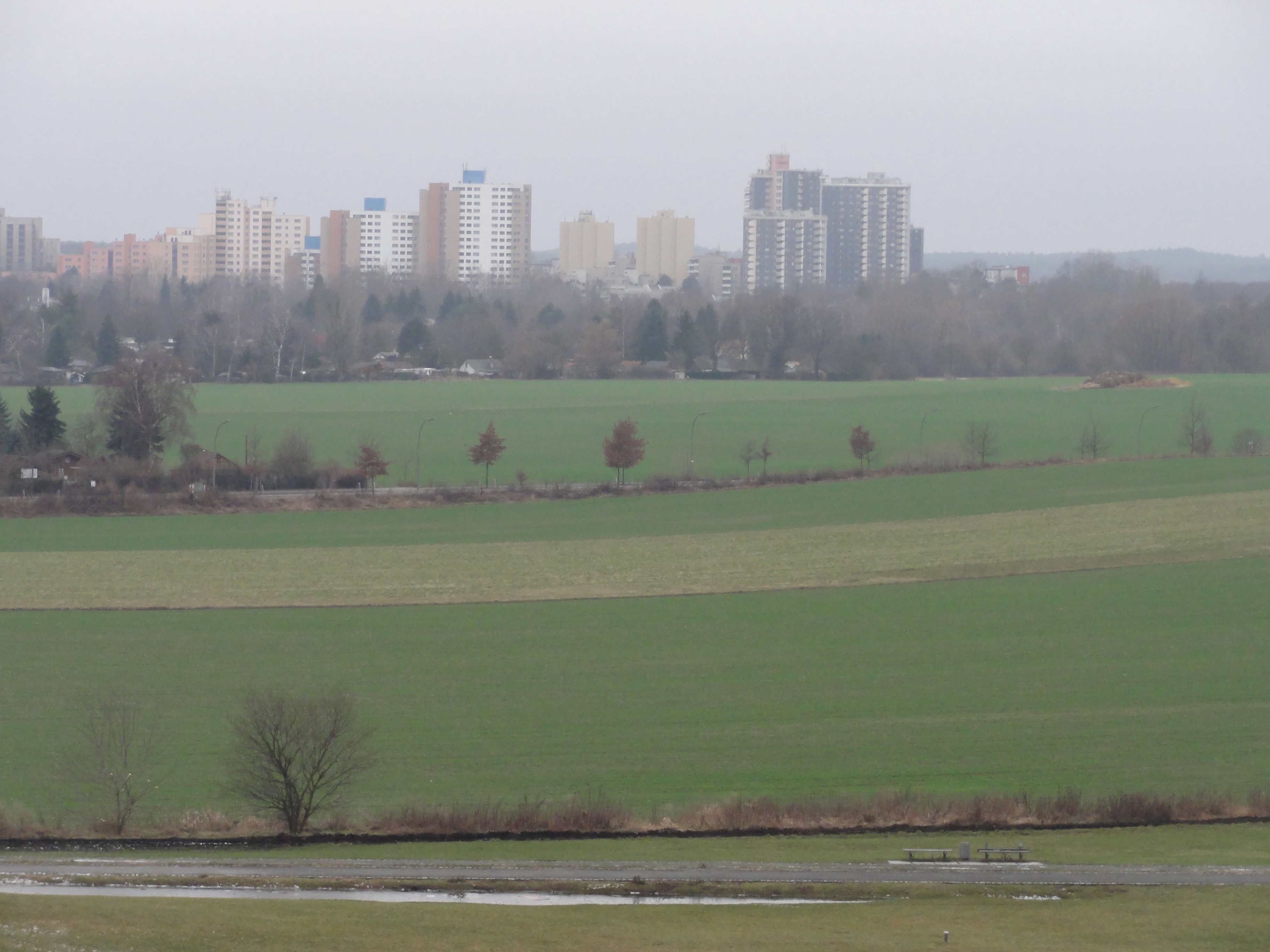
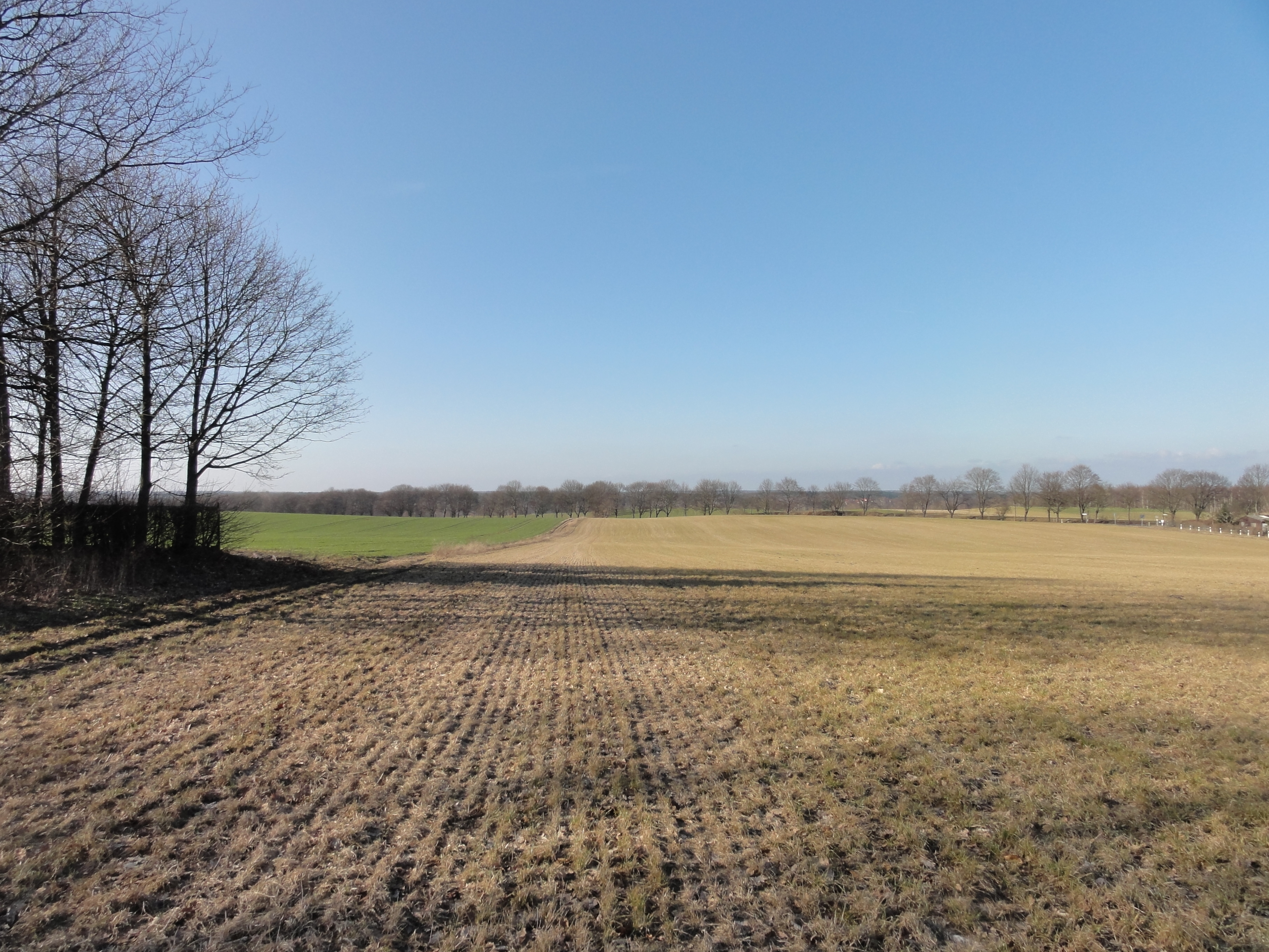
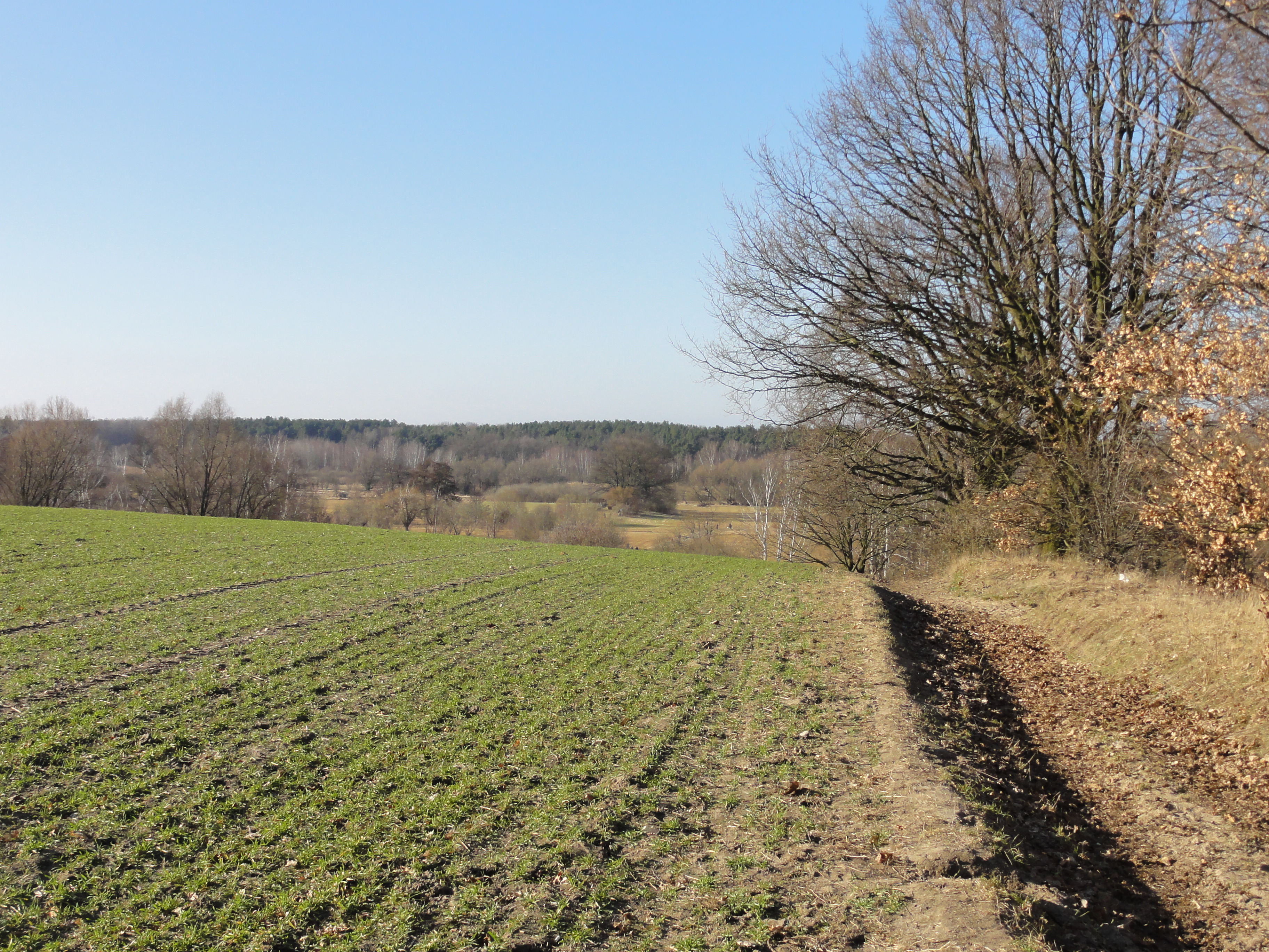
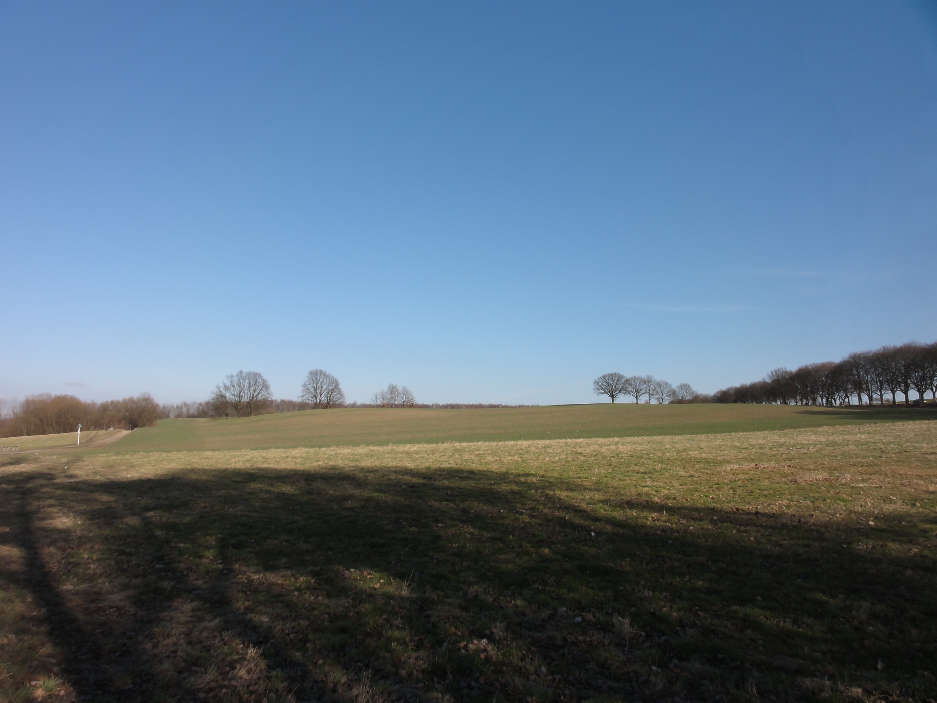
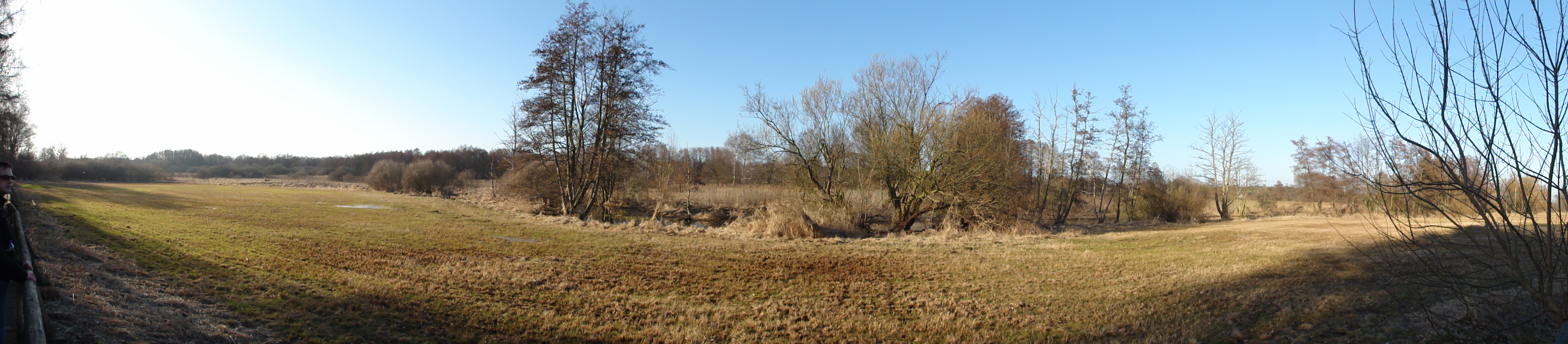
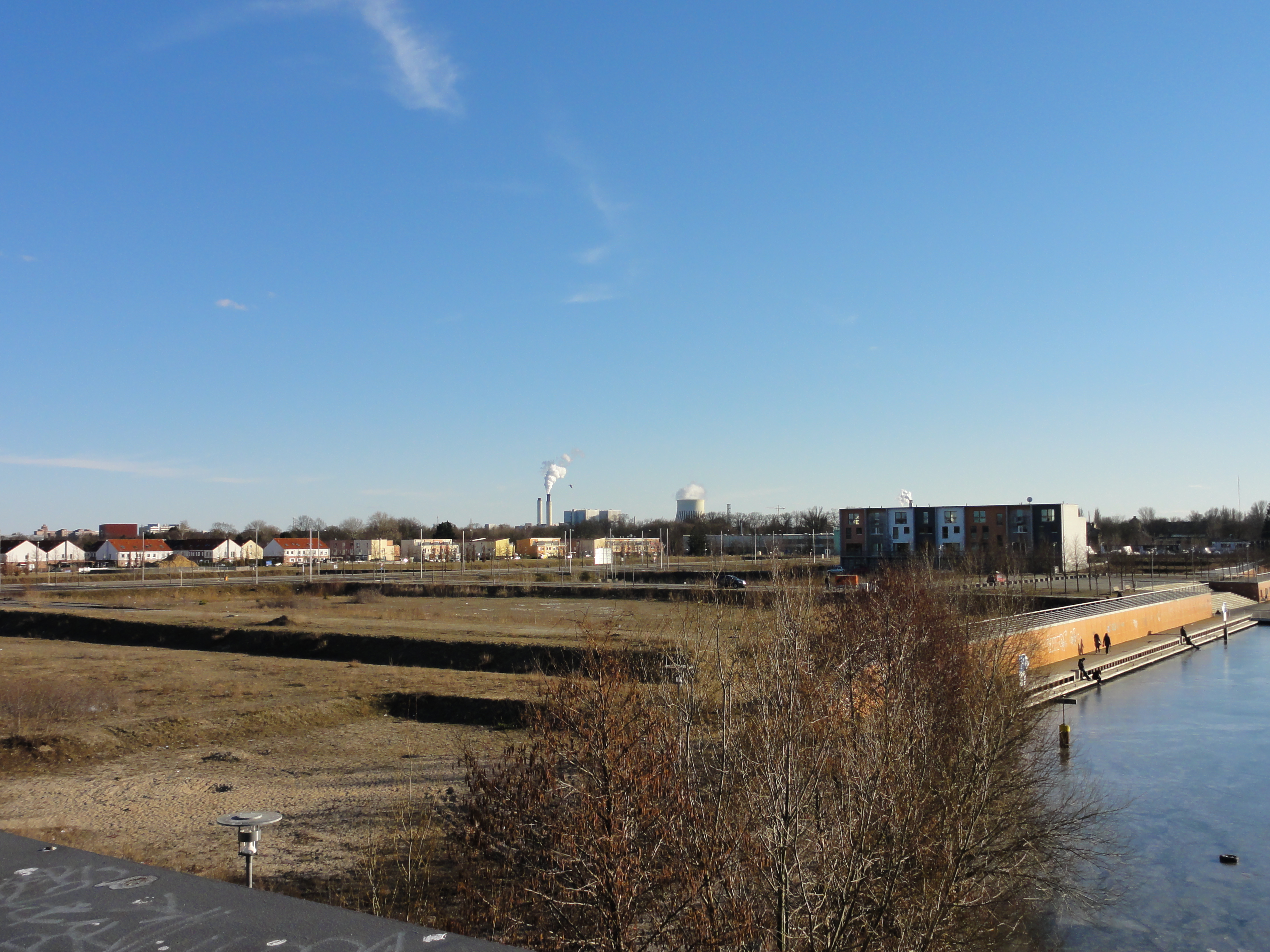
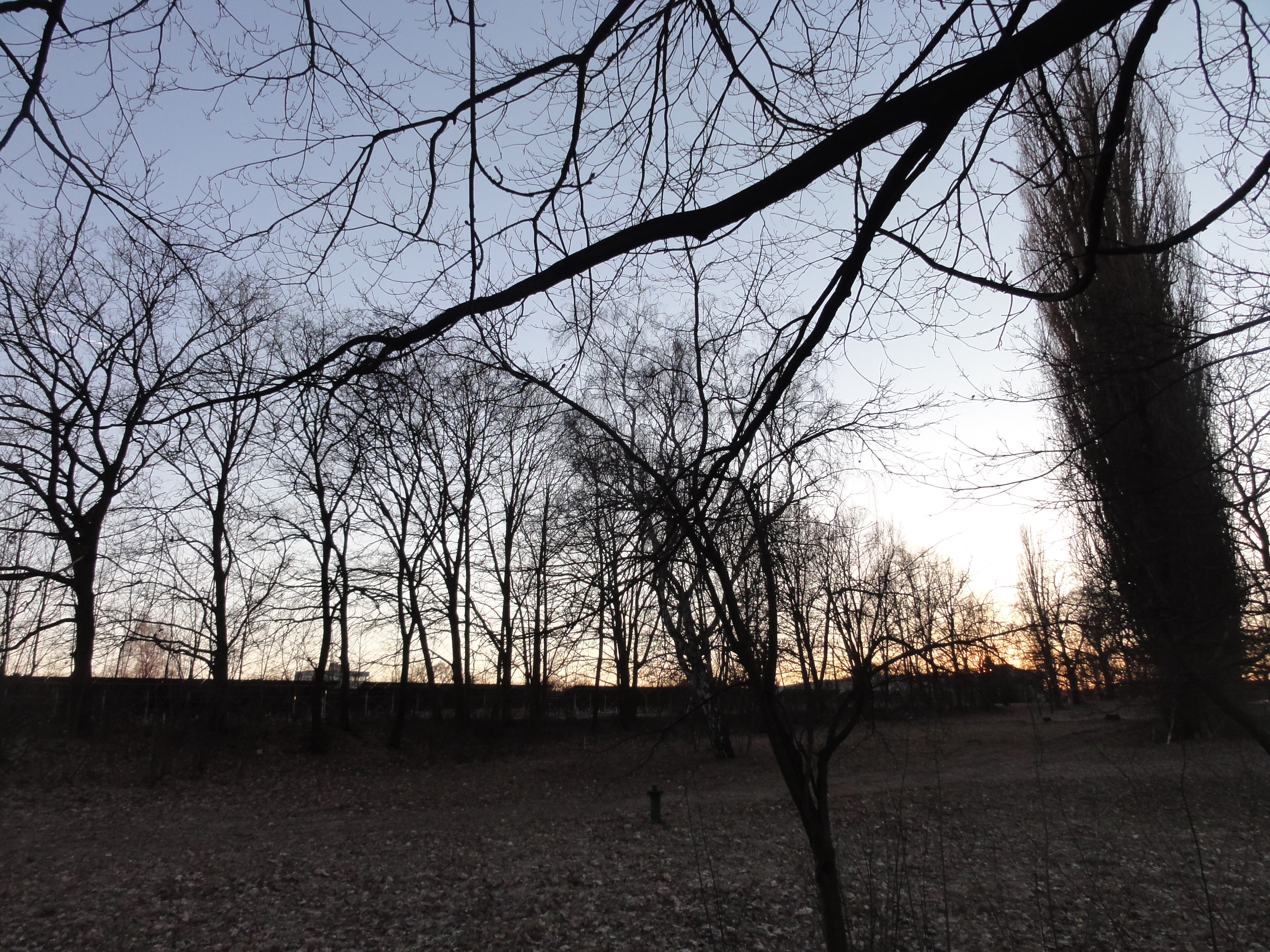
A few weeks later we contiue the tour, and we can see the center of Berlin not cleary, but unambiguously.
|
|
2011:03:20 15:27:58
---
52 deg 36' 36.86" N, 13 deg 22' 13.82" E
232.5
°
©
ml
|
Because our co-hiker went sick, we had to continue the tour a few weeks later.
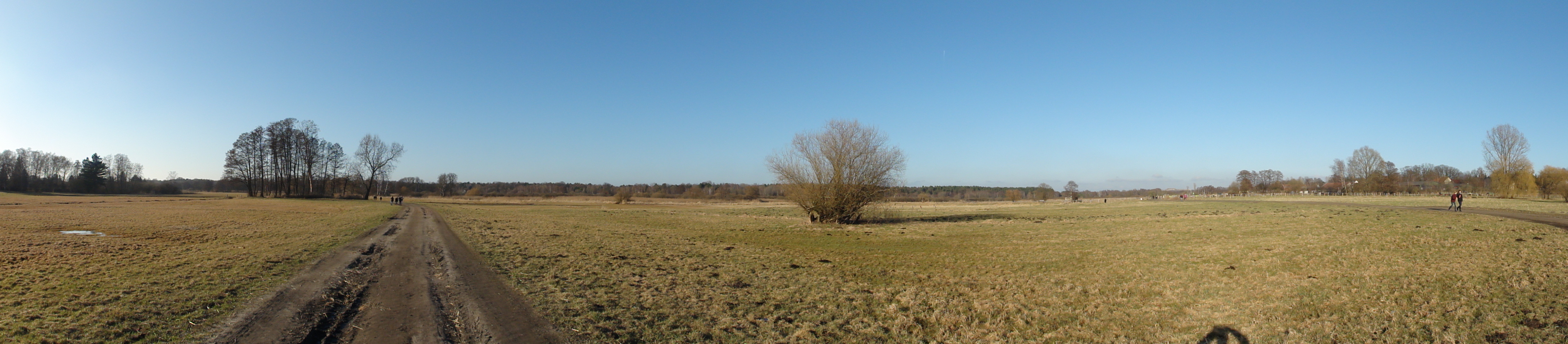
Simply follow the ski piste downnhill, northwards. Pass the settling to the left (=east), and walk across the field. We appraoch the Tegeler Fliesa and Lübars:
|
|
2011:03:20 15:42:31
---
52 deg 36' 37.14" N, 13 deg 22' 13.65" E
314.25
°
©
ml
|
|
|
2011:03:20 15:44:55
---
52 deg 37' 1.26" N, 13 deg 22' 8.33" E
330.25
°
©
ml
|
|
|
2011:03:20 15:50:17
---
52 deg 37' 12.05" N, 13 deg 21' 59.72" E
328.75
°
©
ml
|
|
|
2011:03:20 15:50:31
---
52 deg 37' 12.08" N, 13 deg 21' 59.90" E
146.75
°
©
ml
|
|
|
2011:03:20 15:50:49
---
52 deg 37' 11.89" N, 13 deg 21' 59.76" E
322.25
°
©
ml
|
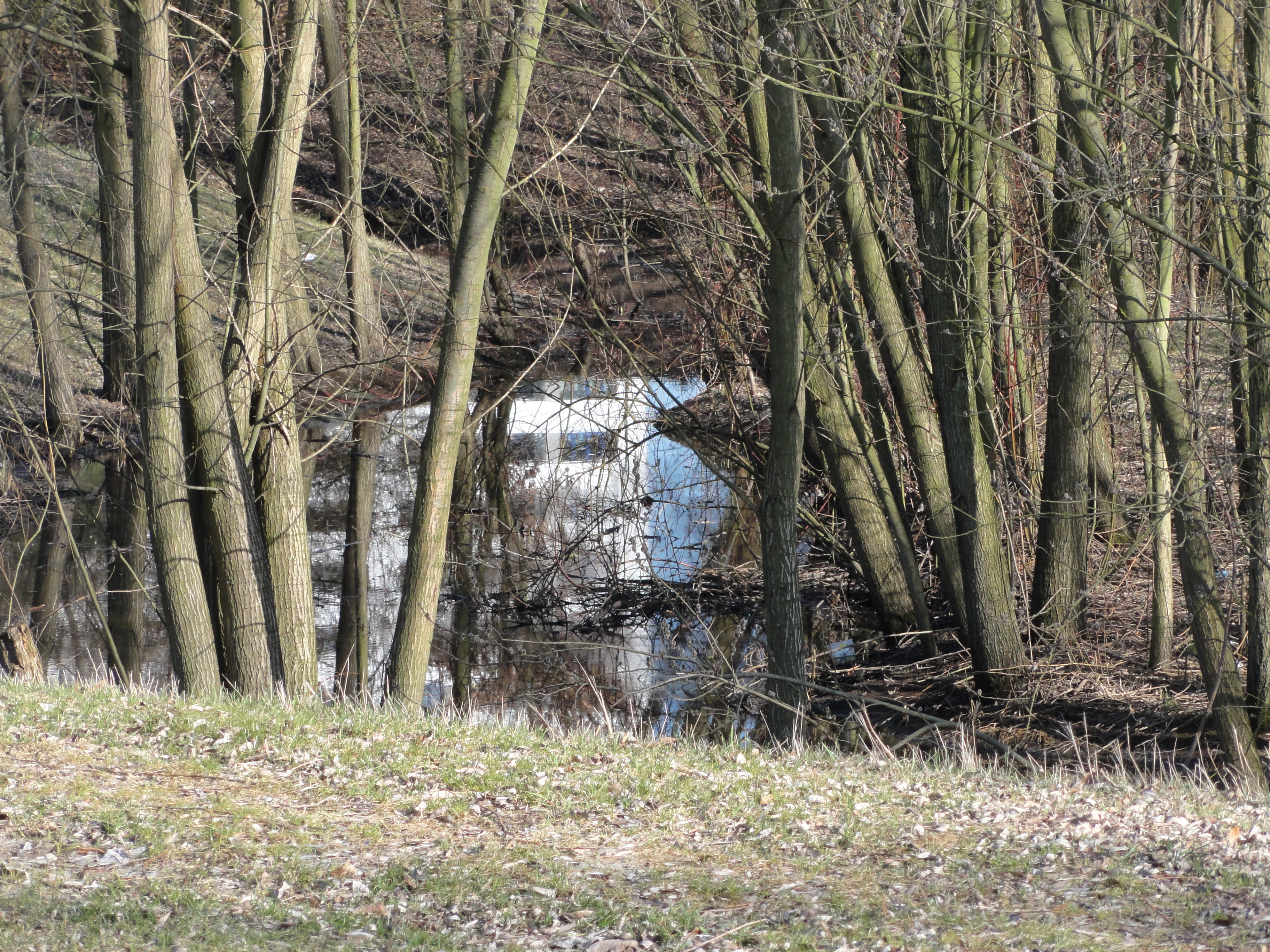
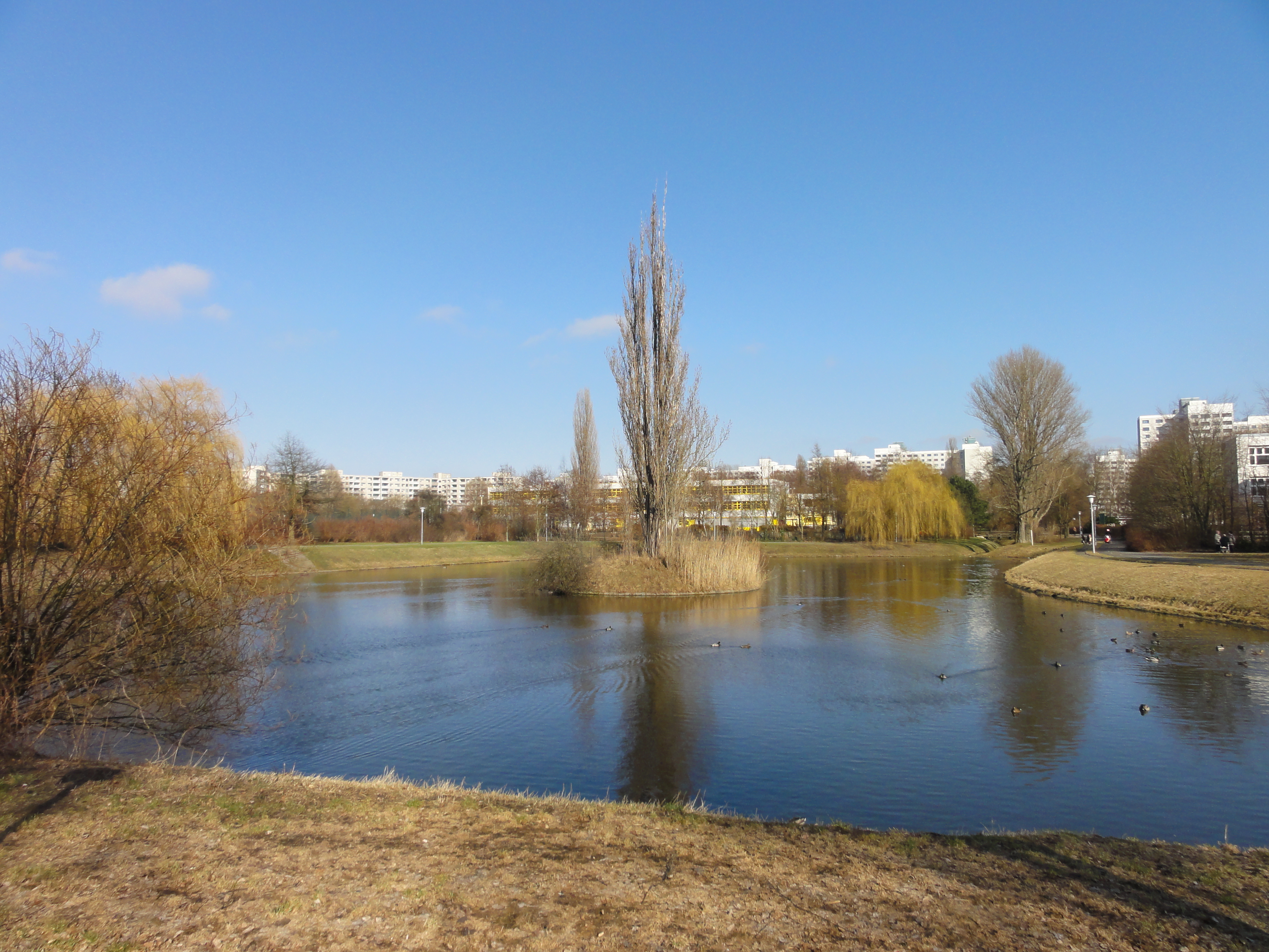
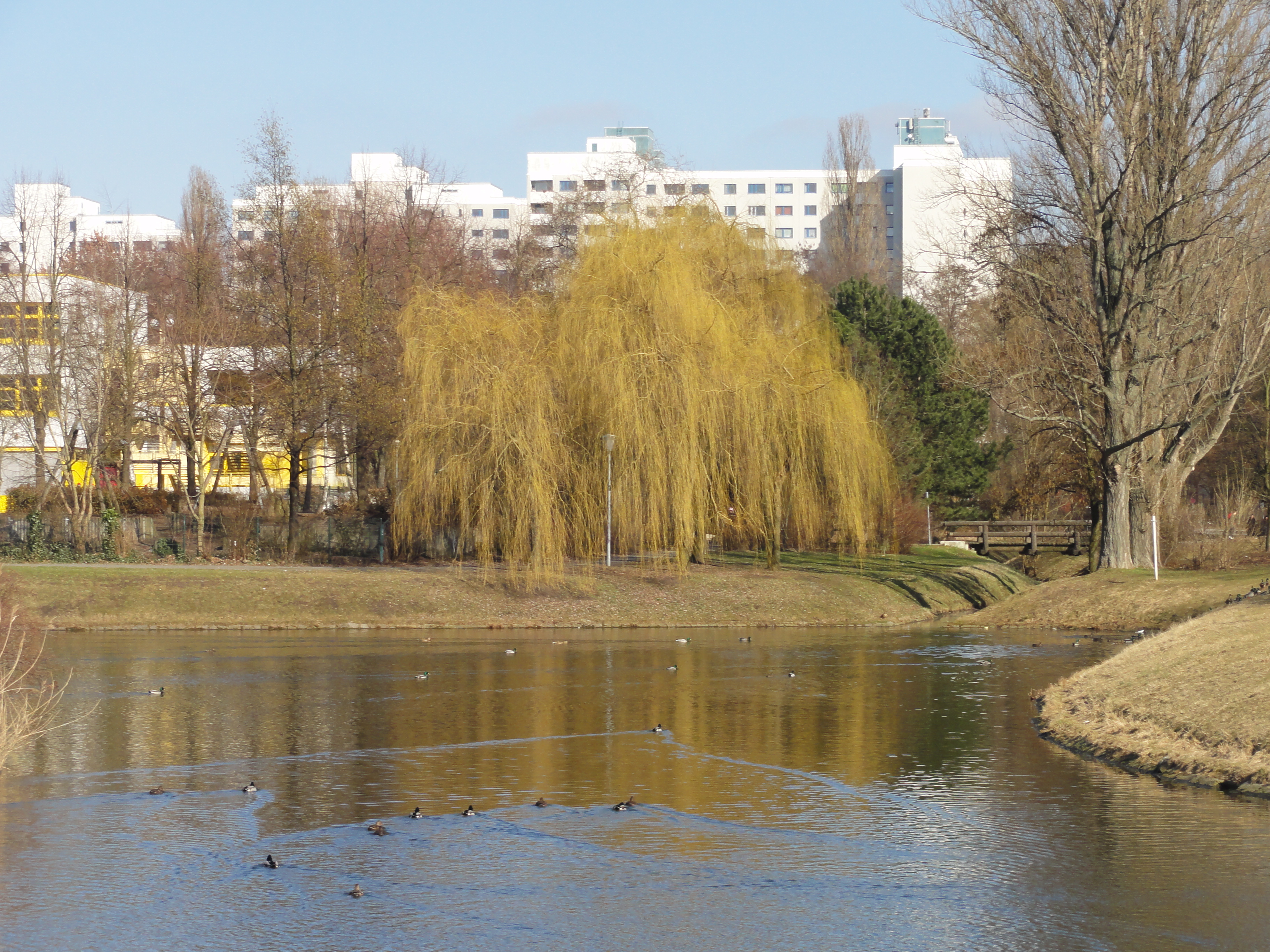
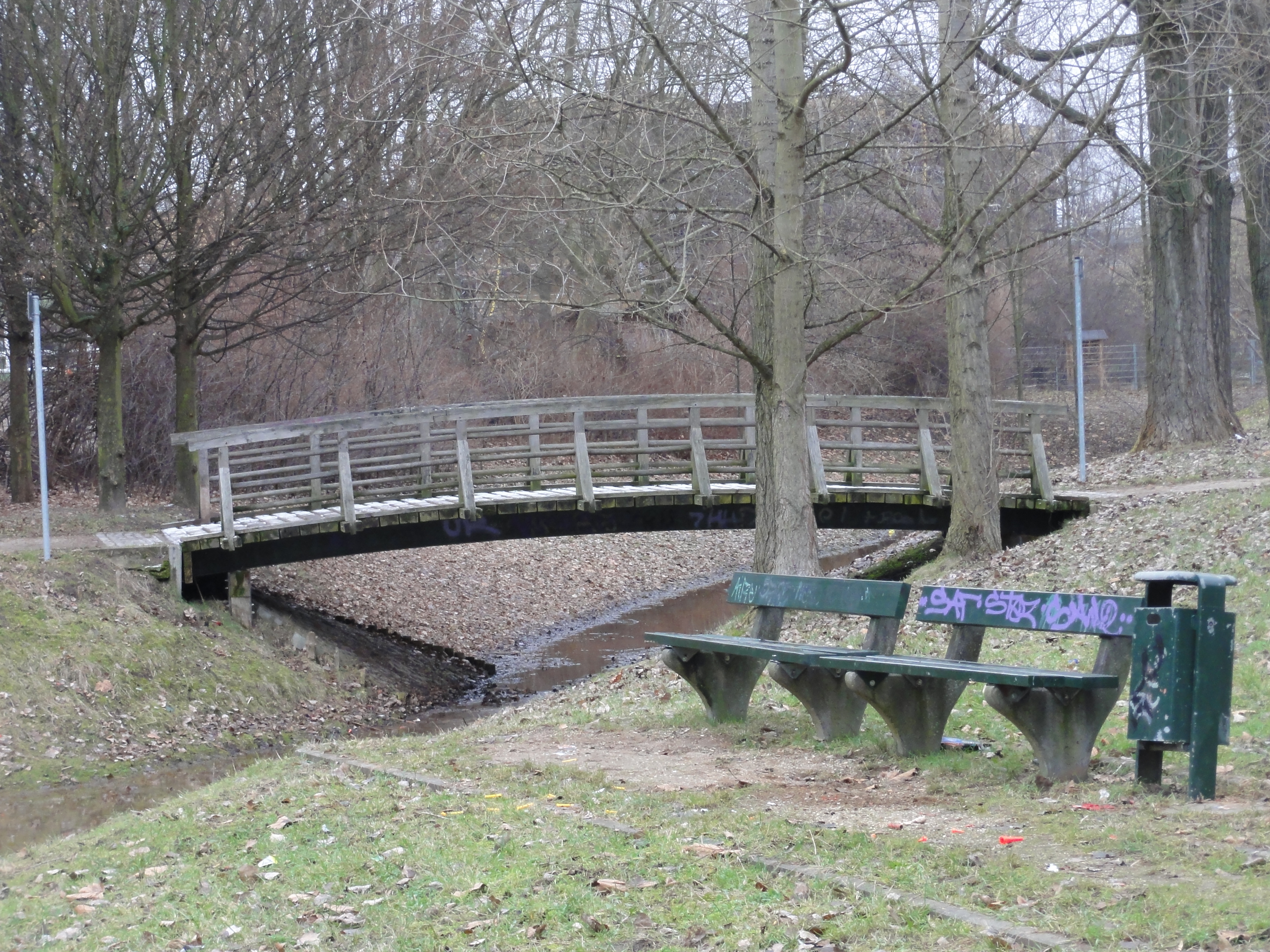
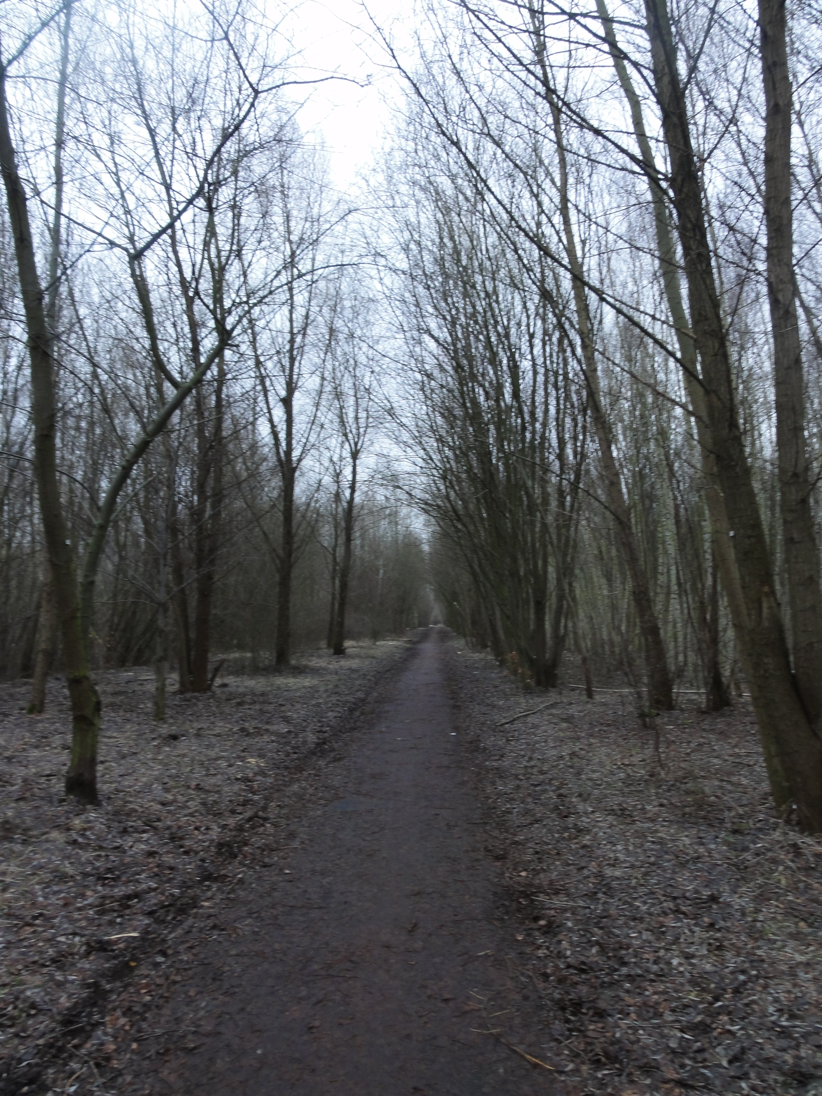
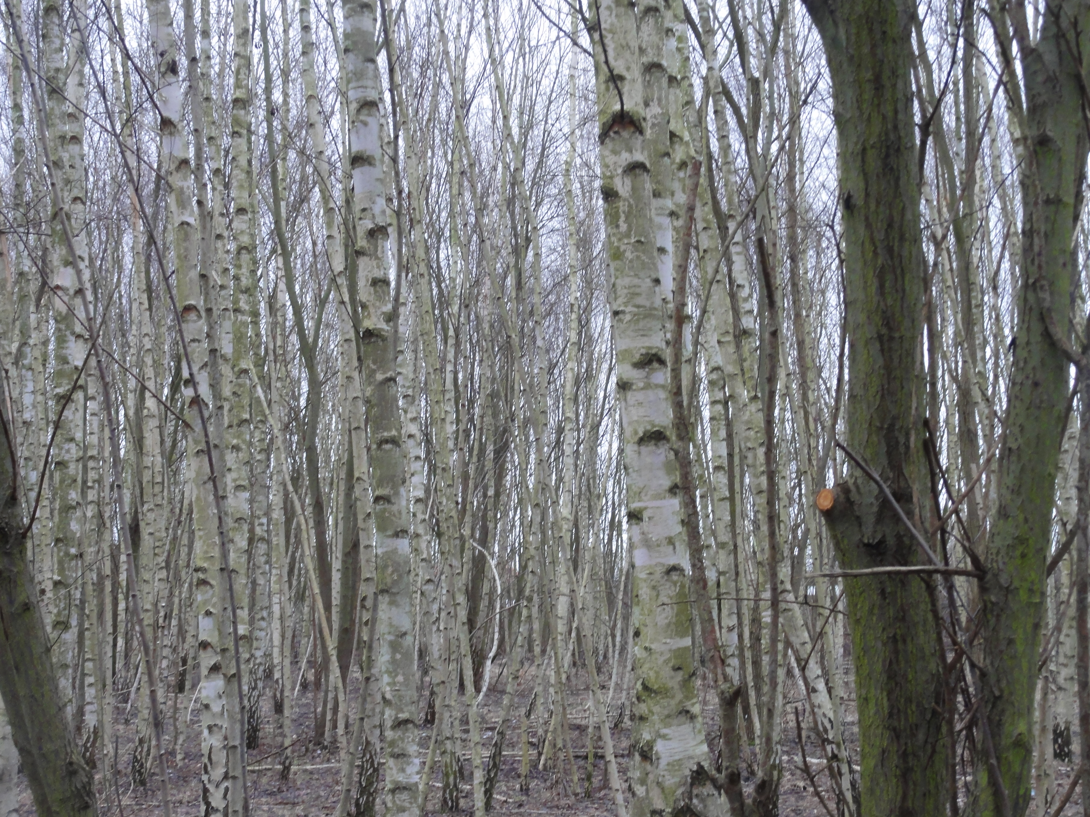
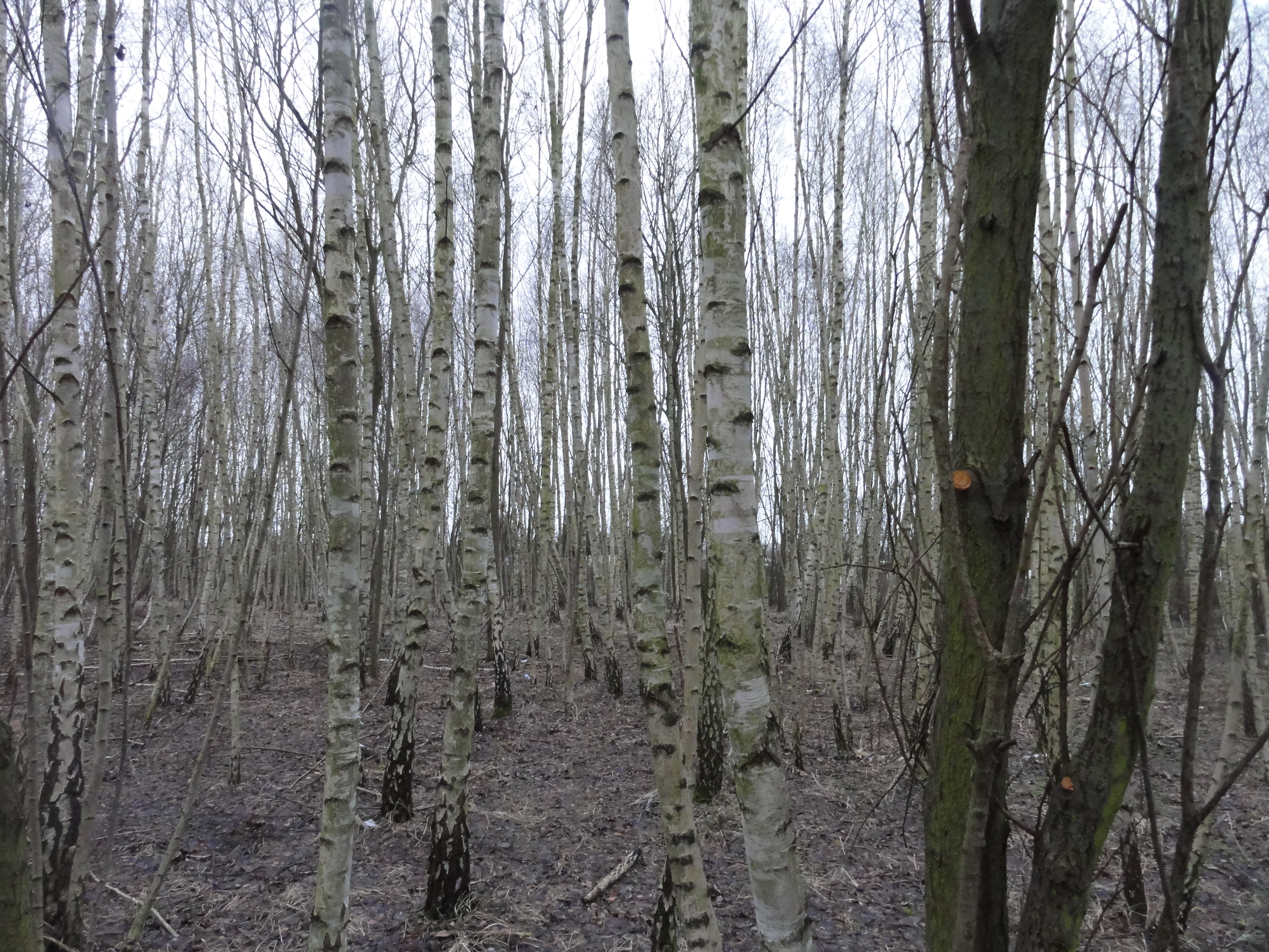
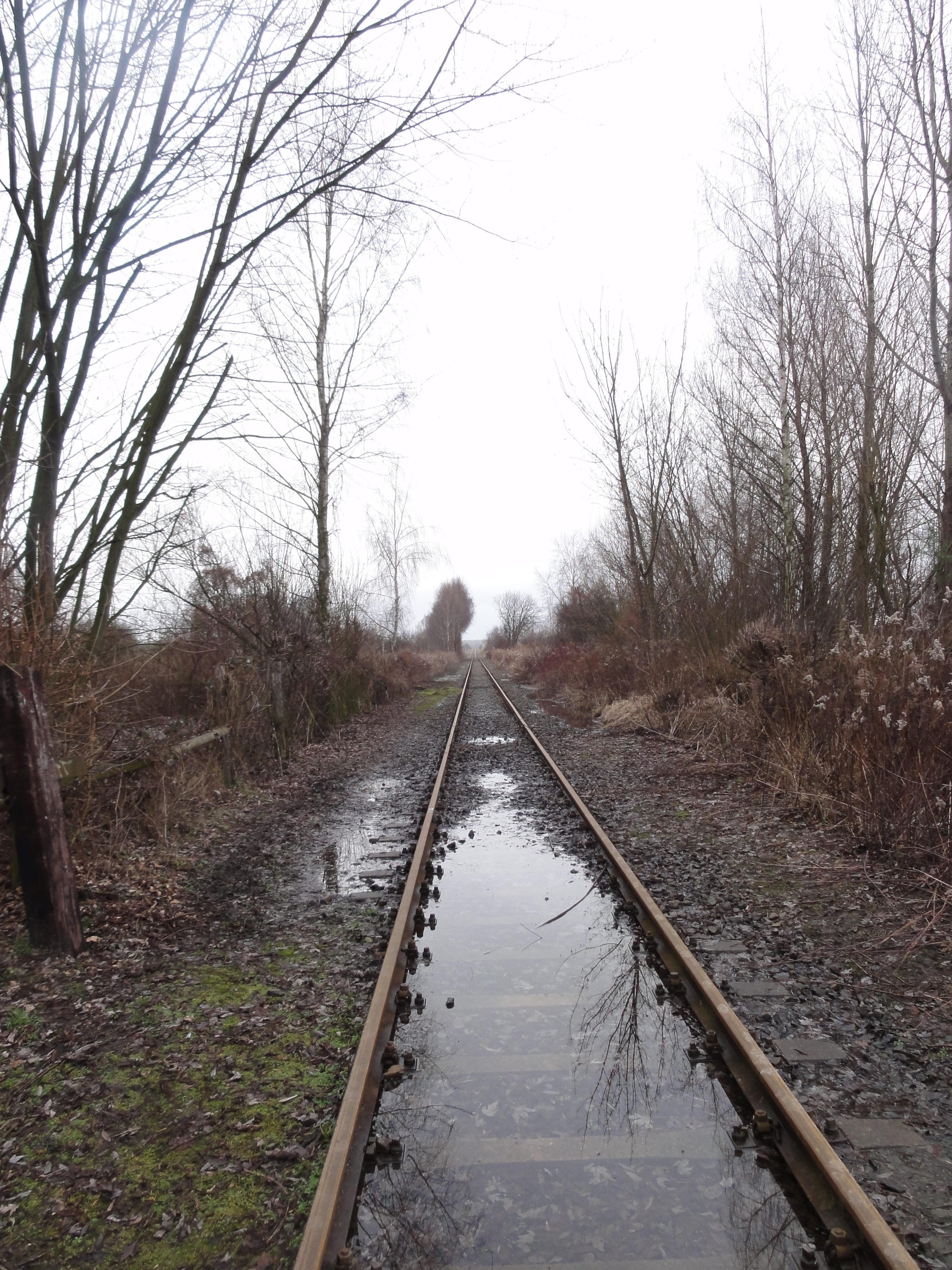
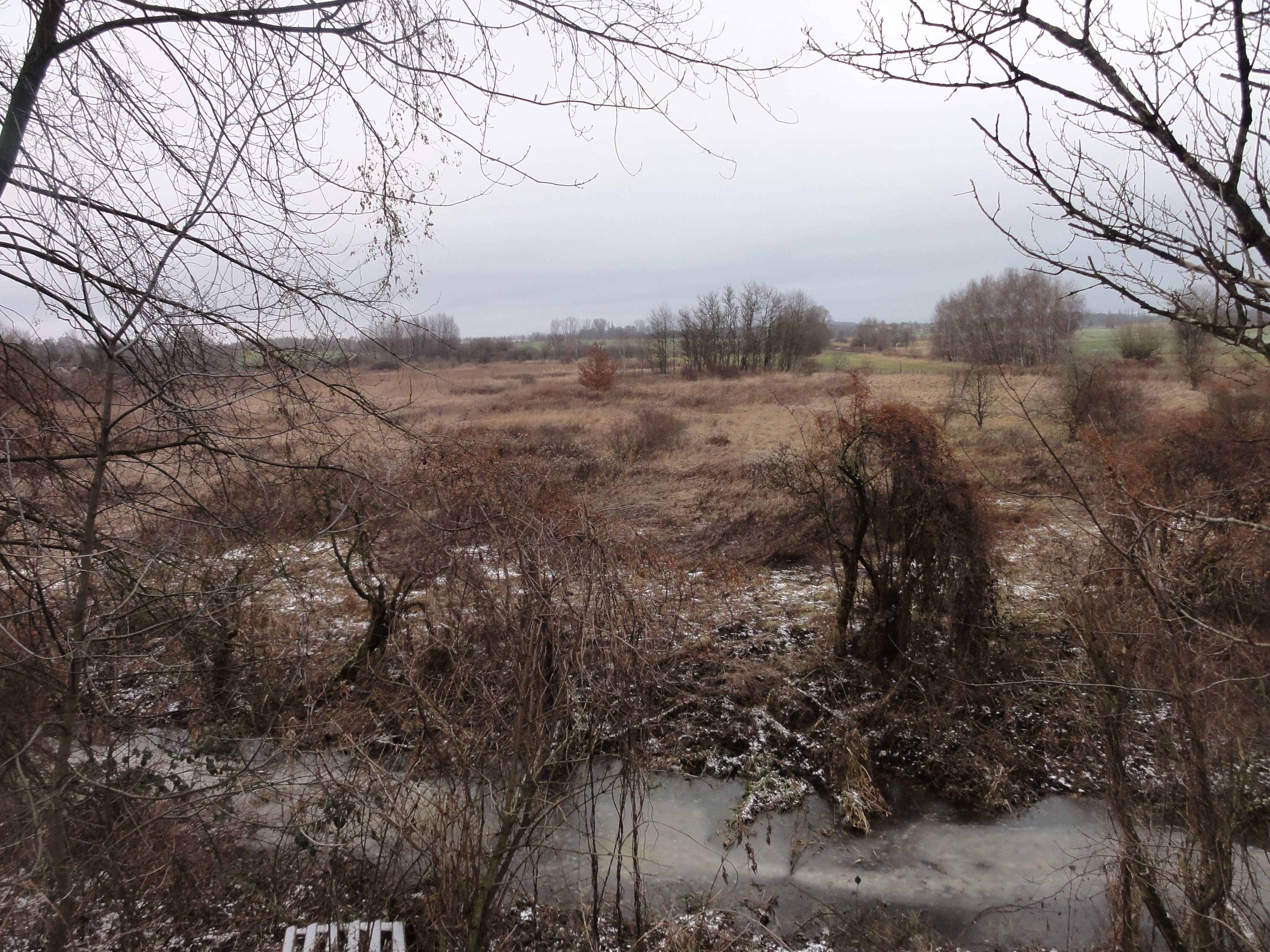
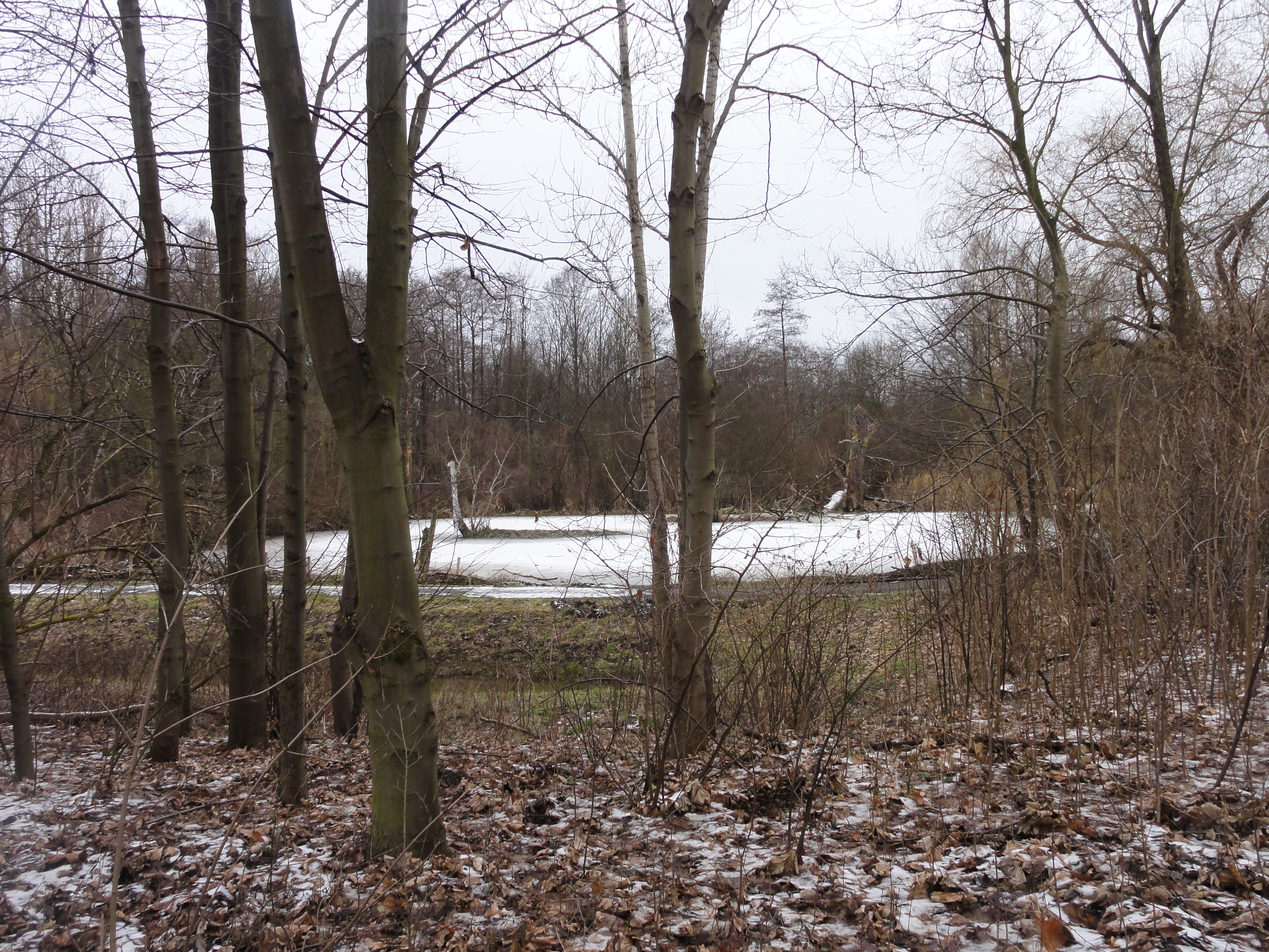
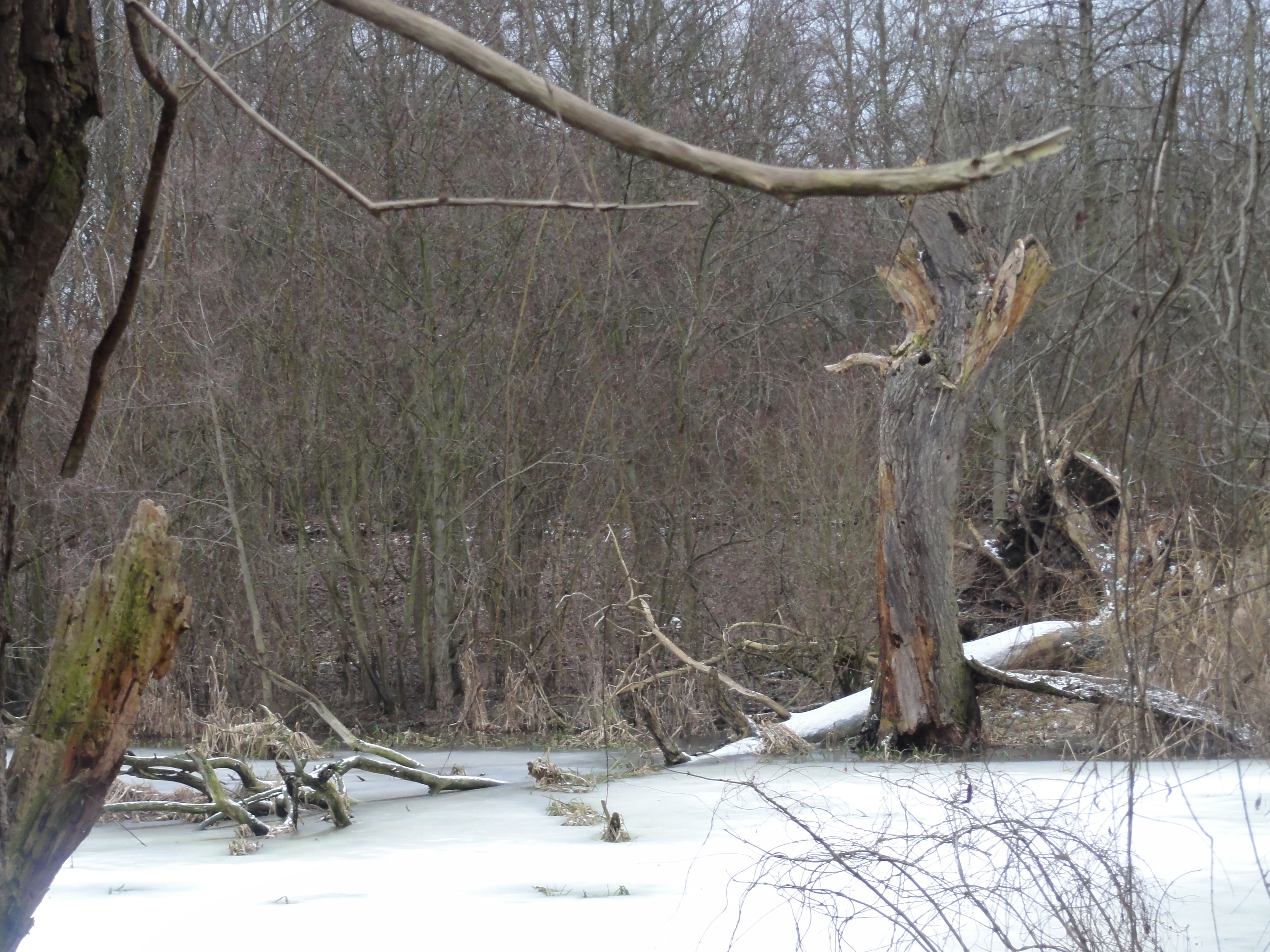
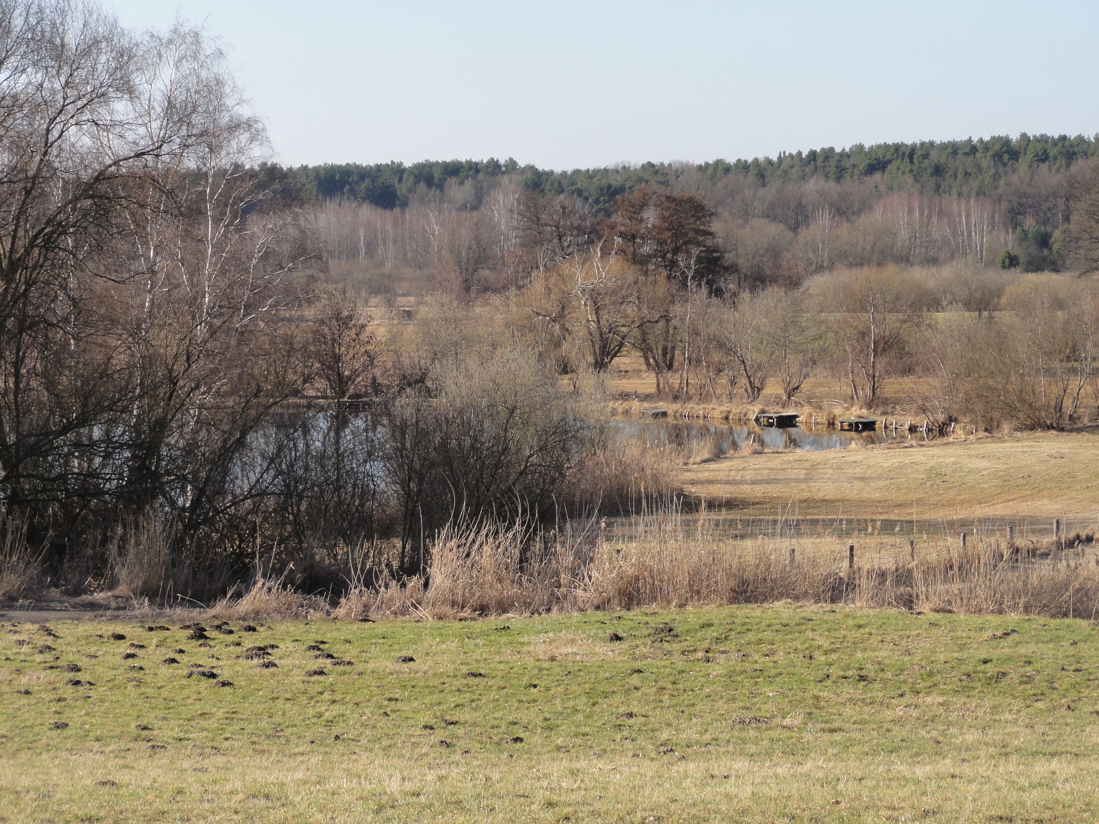
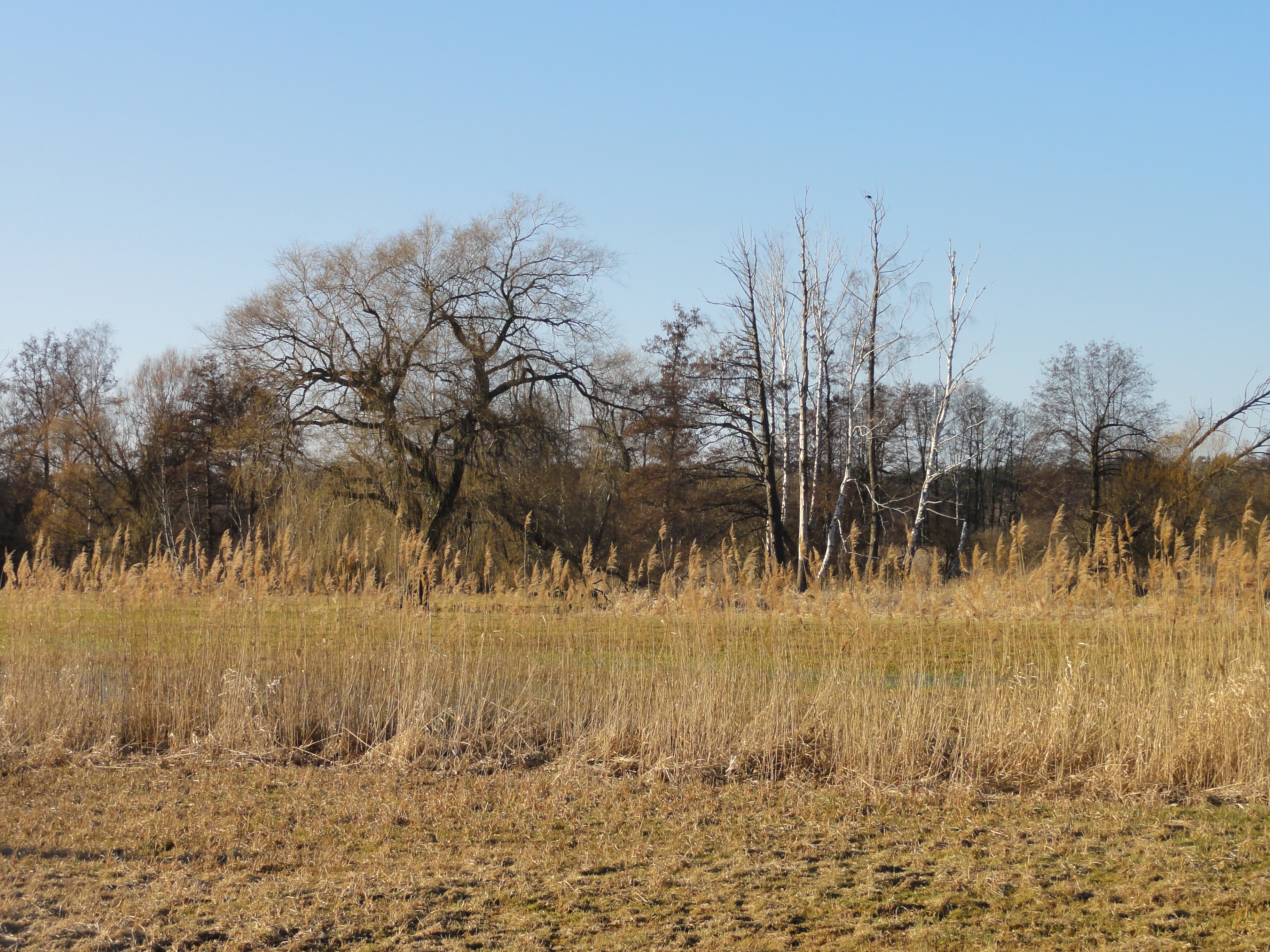
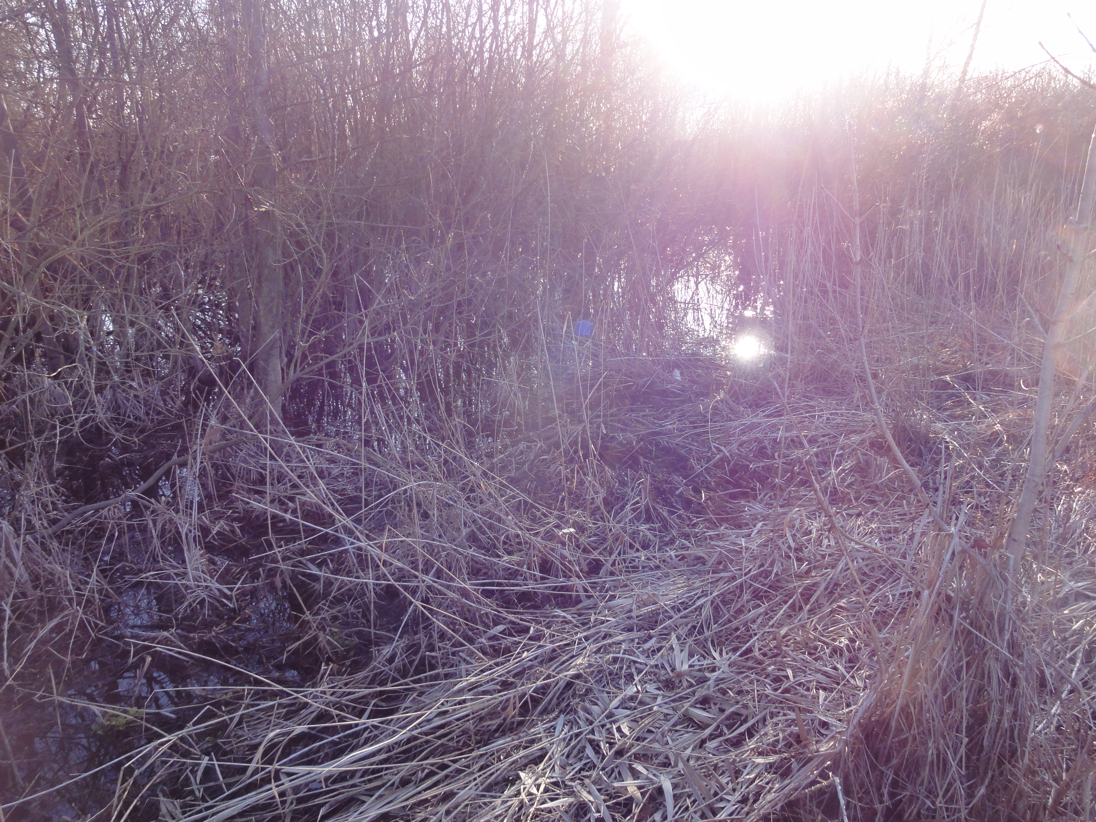
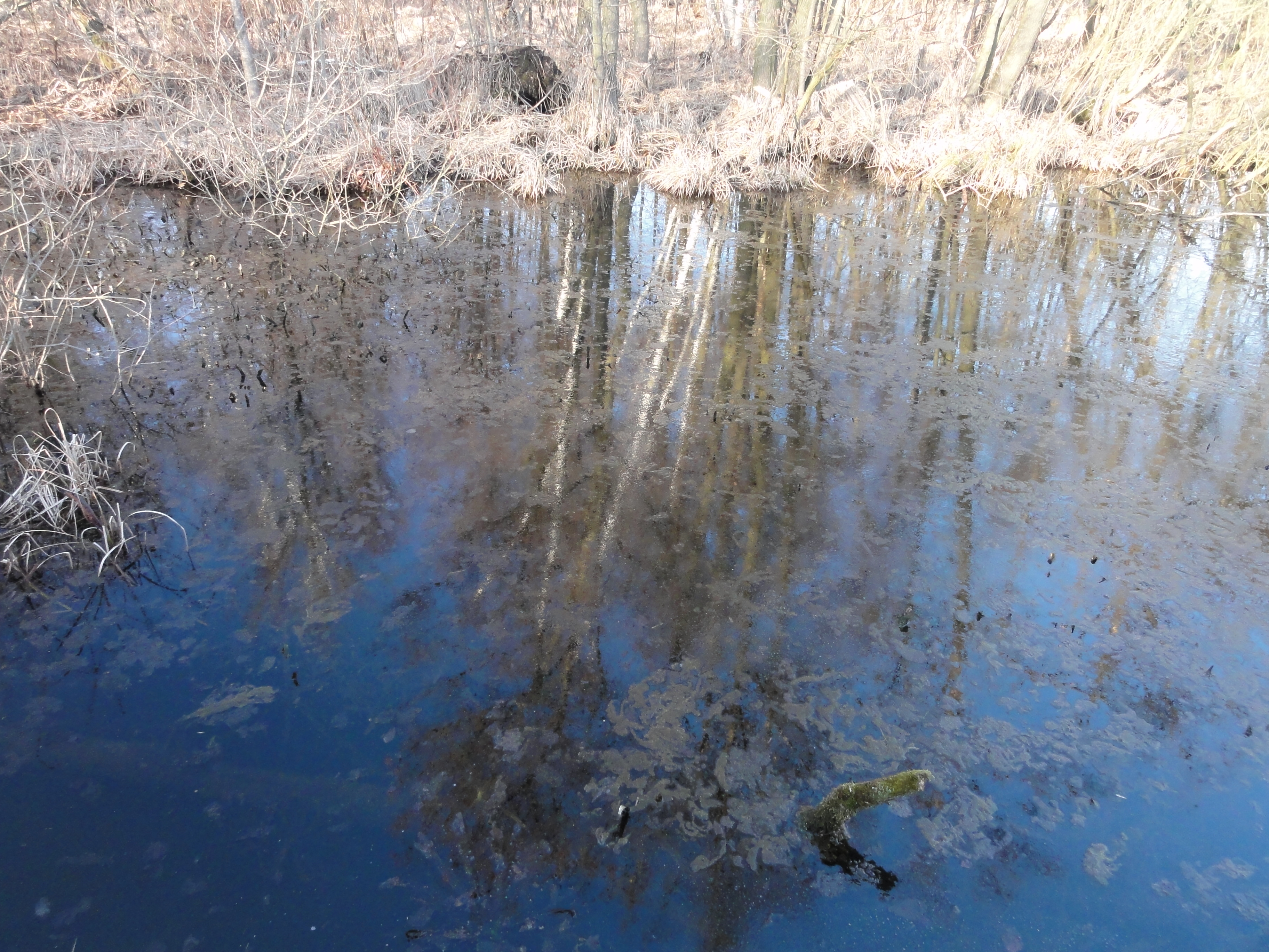
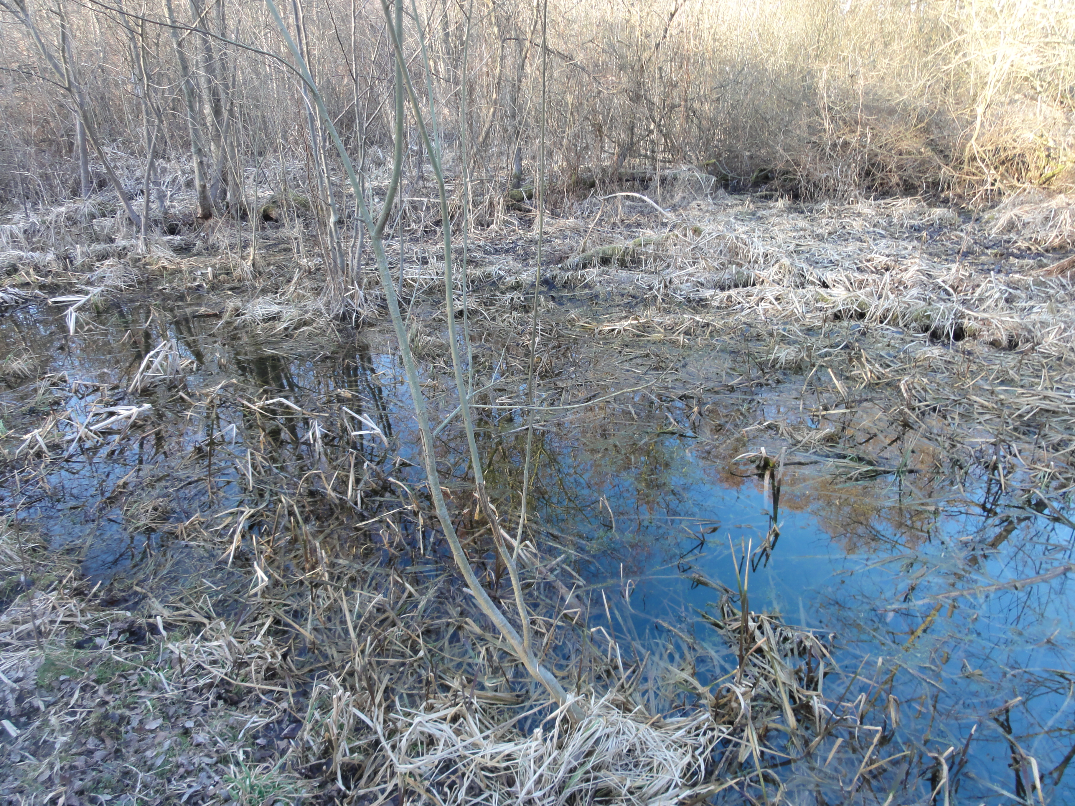
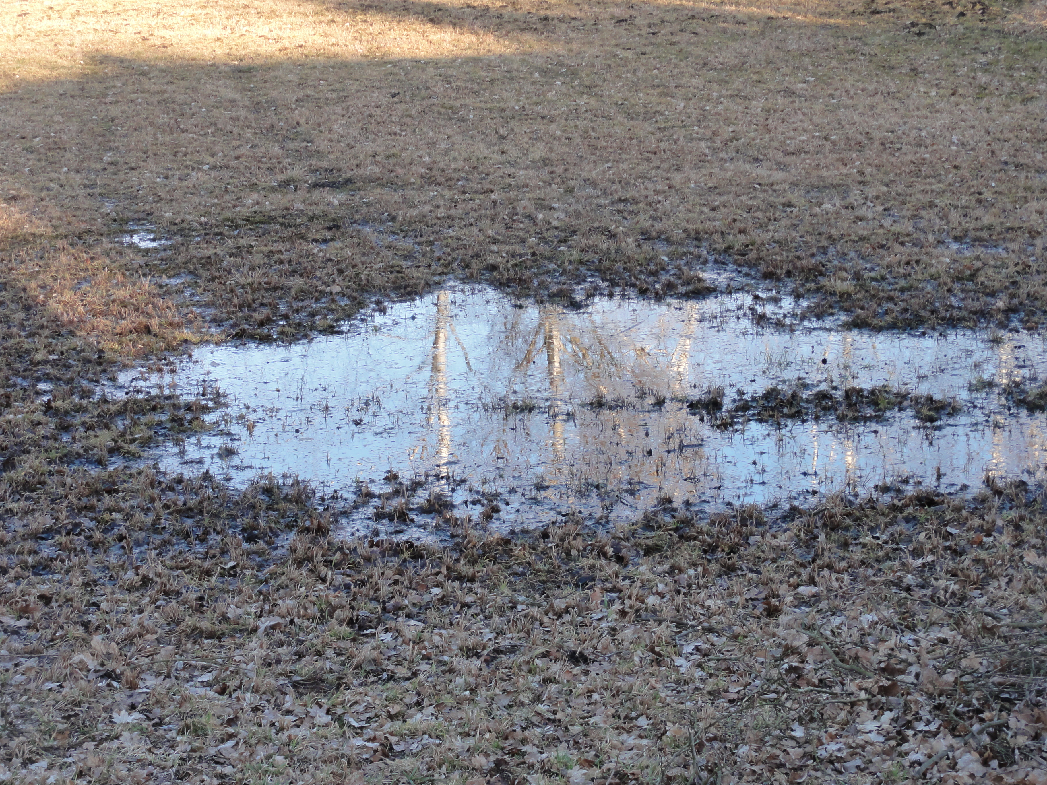
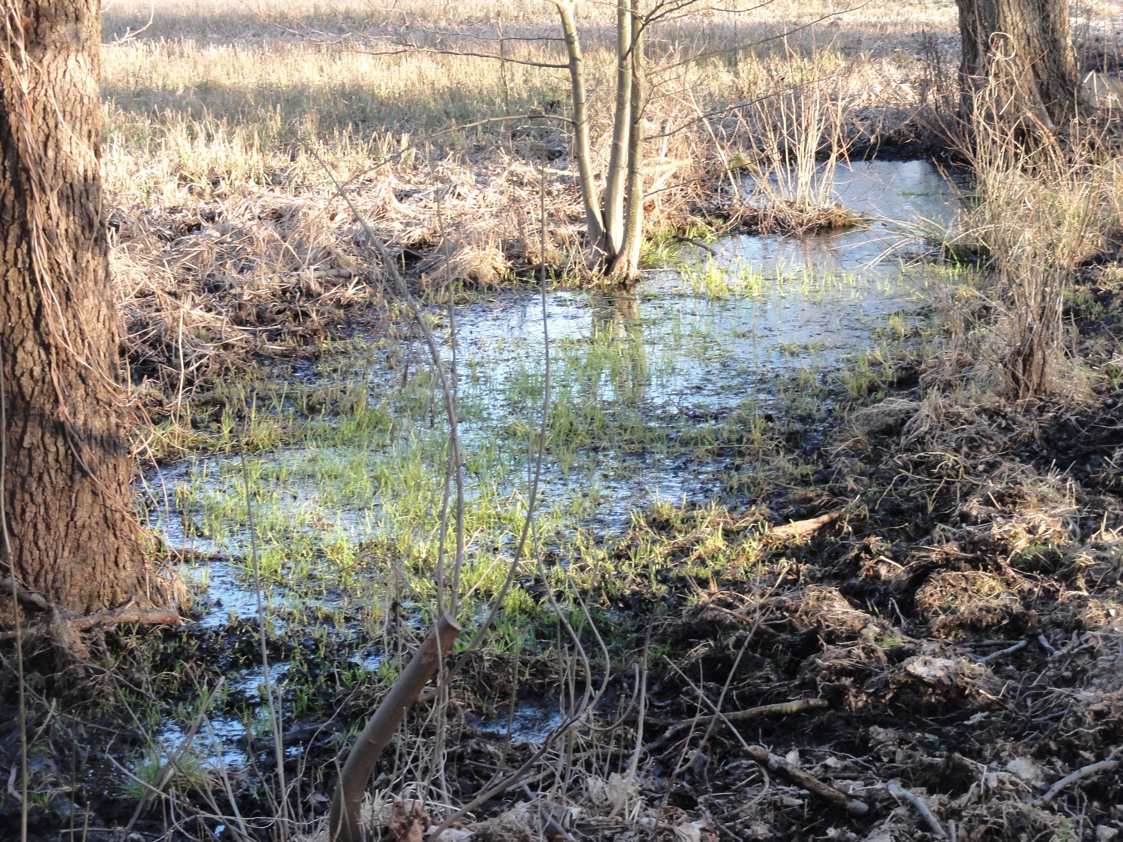
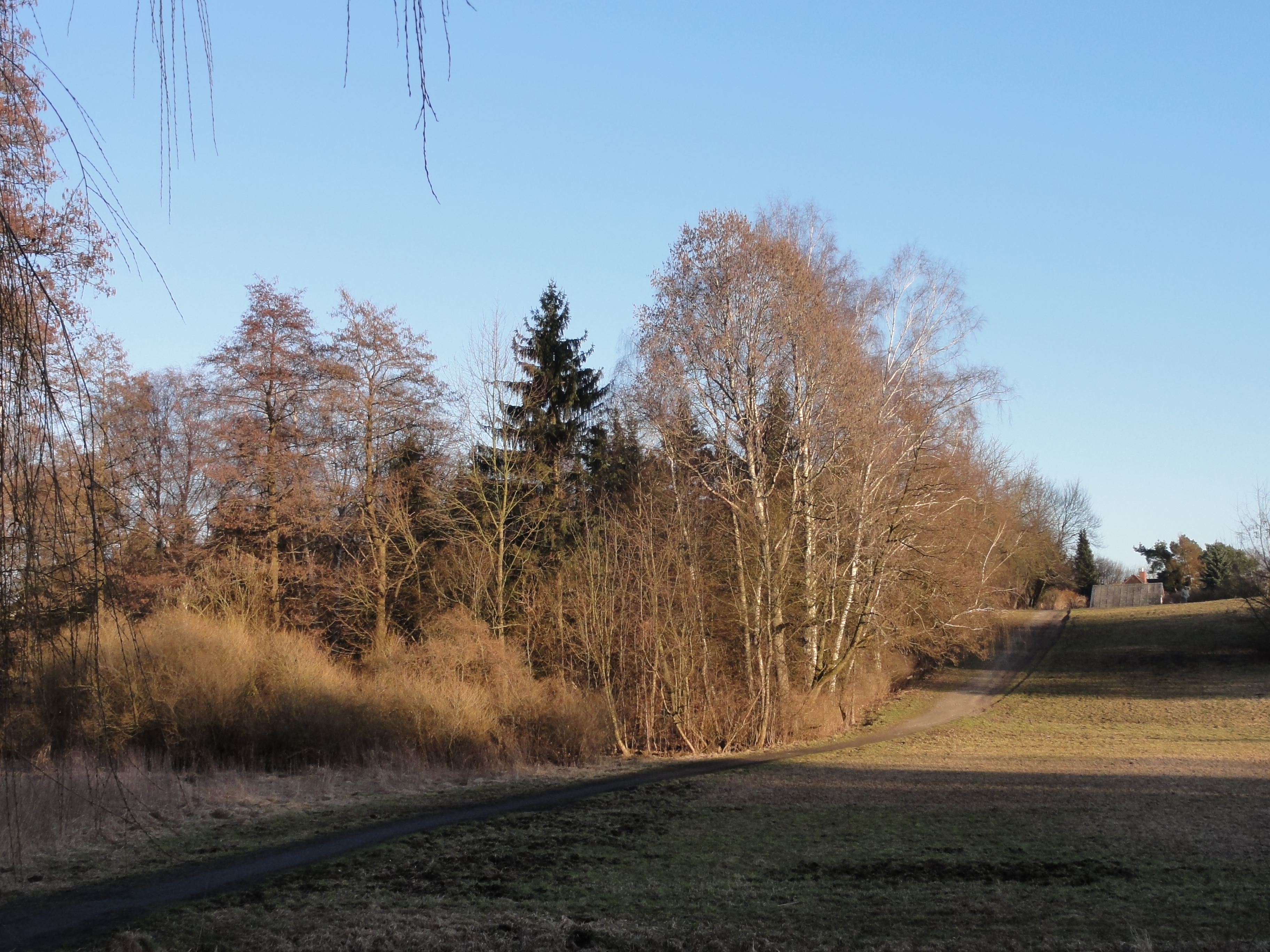
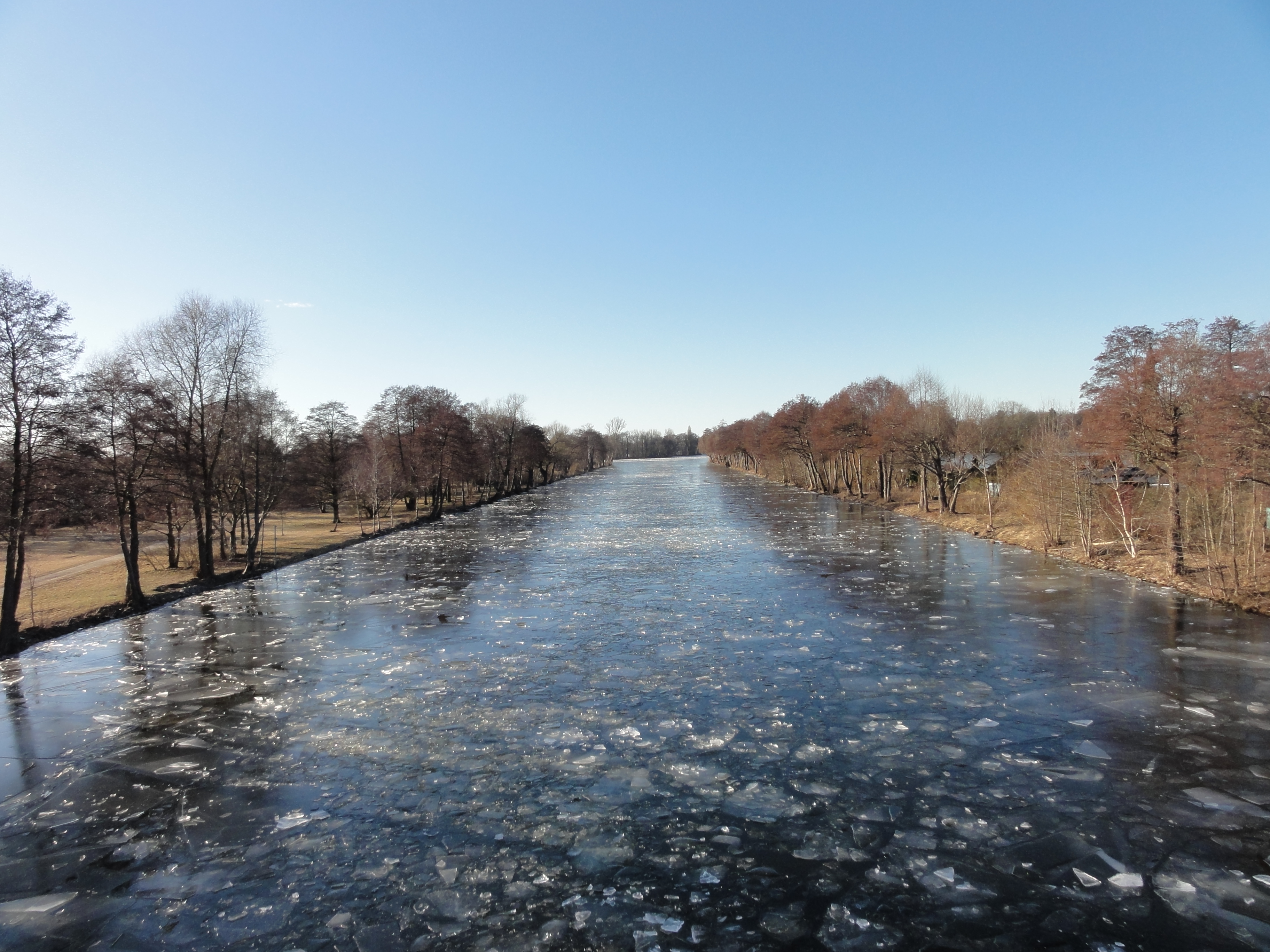
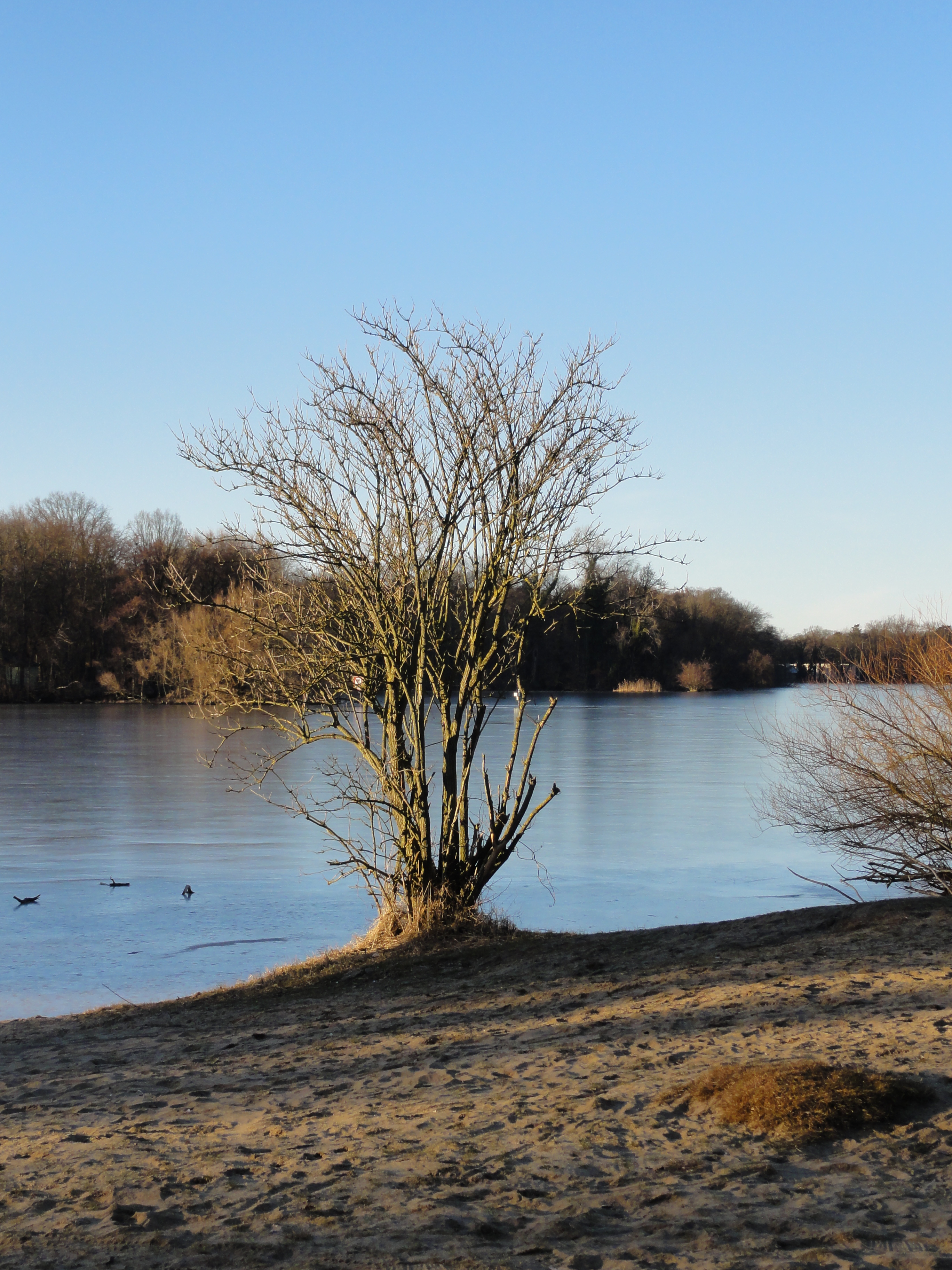
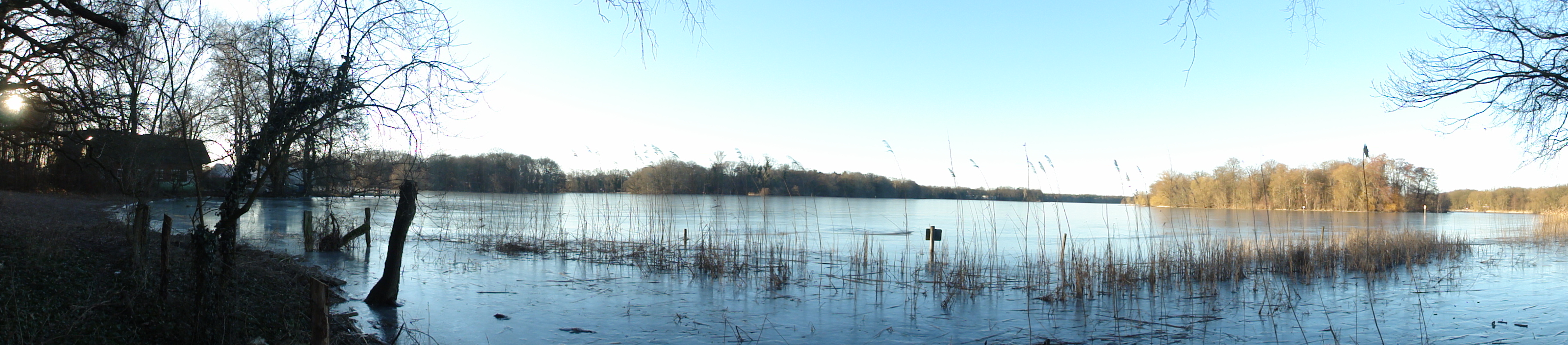
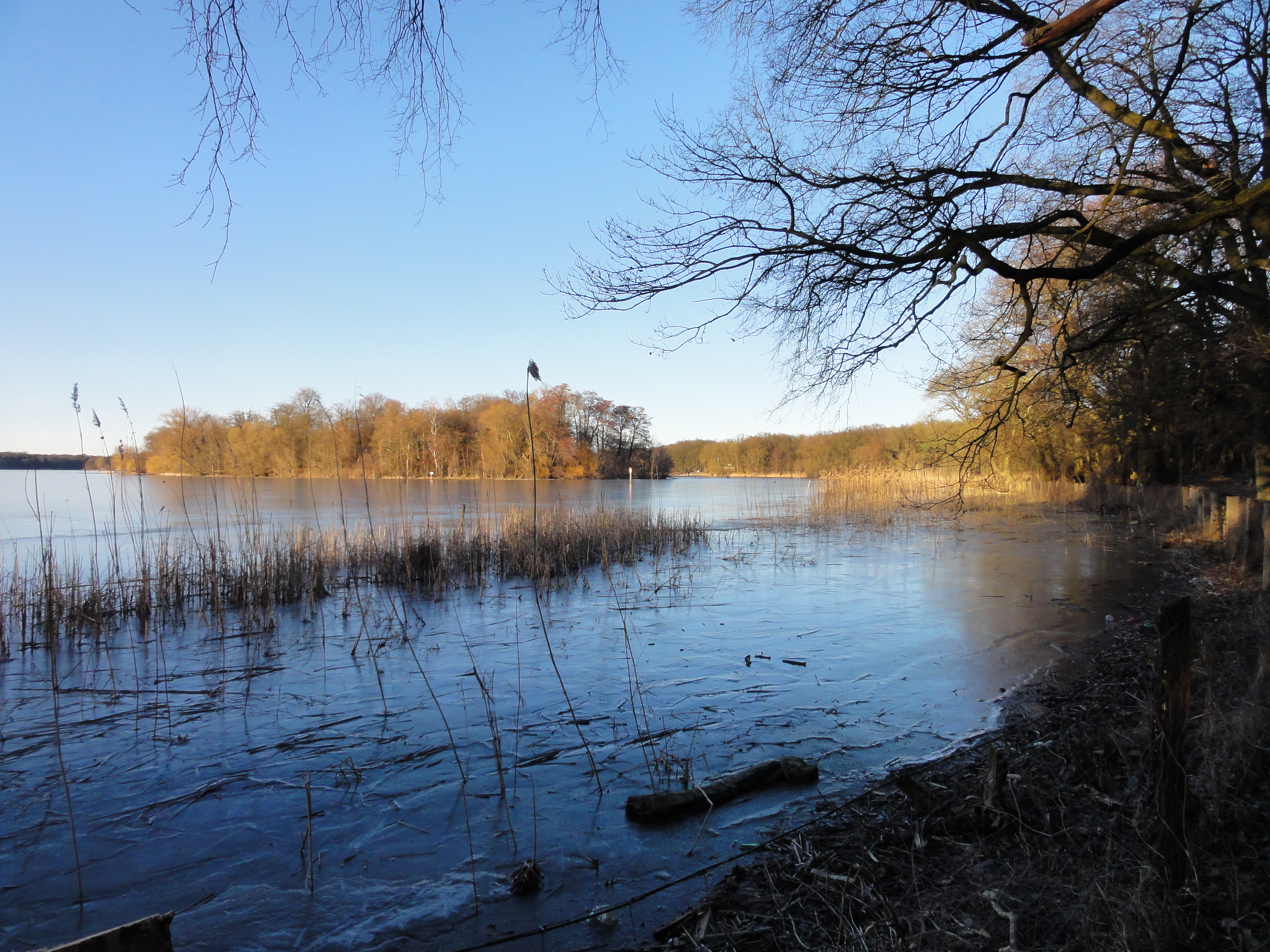
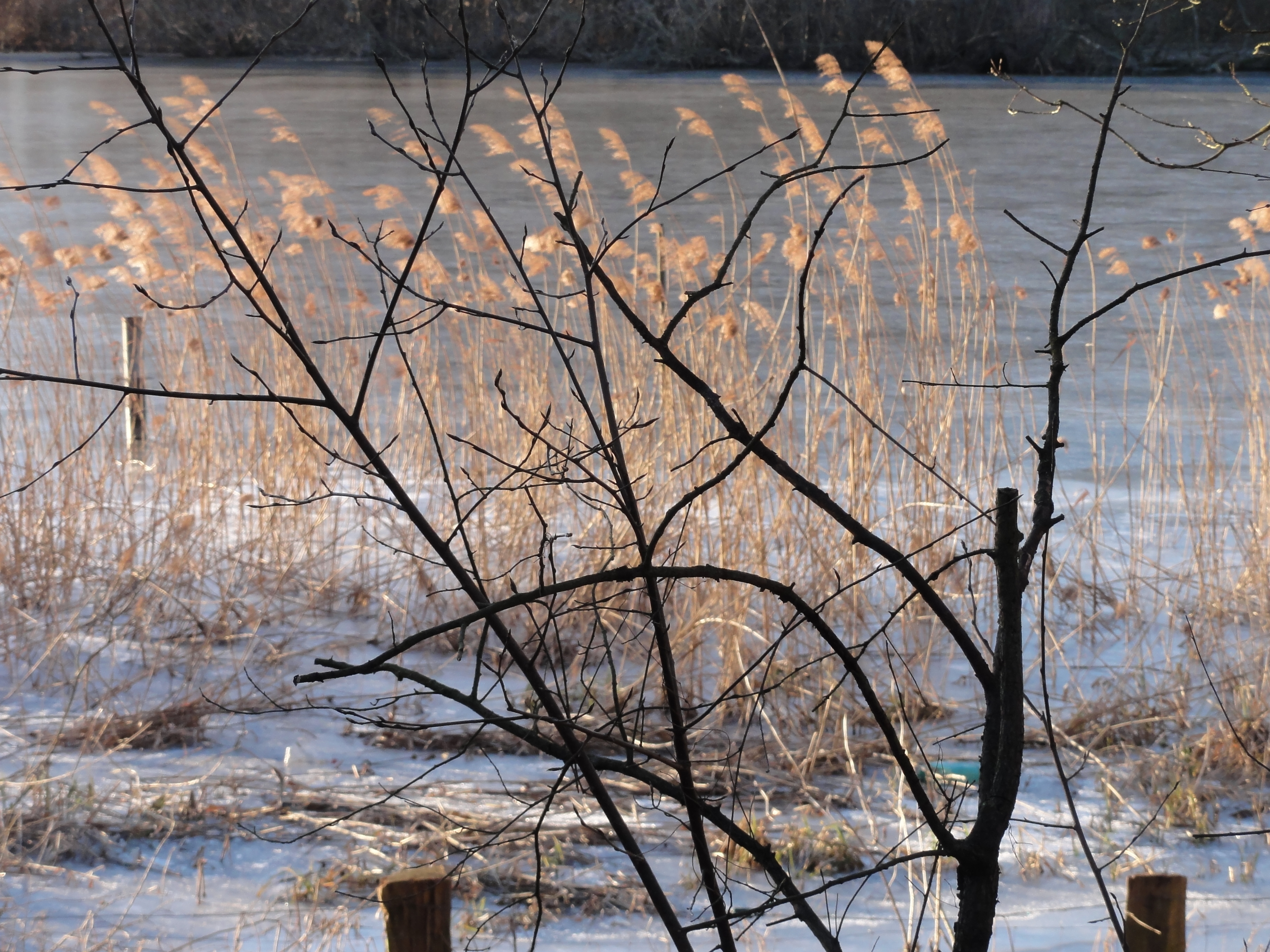
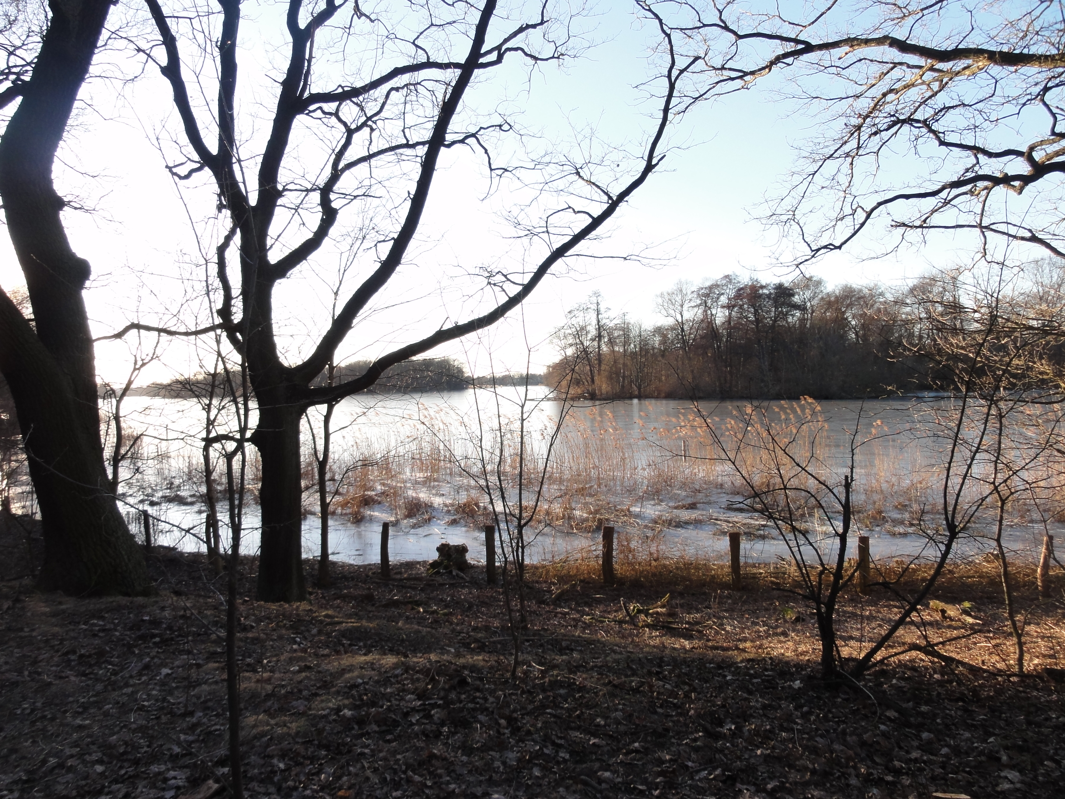
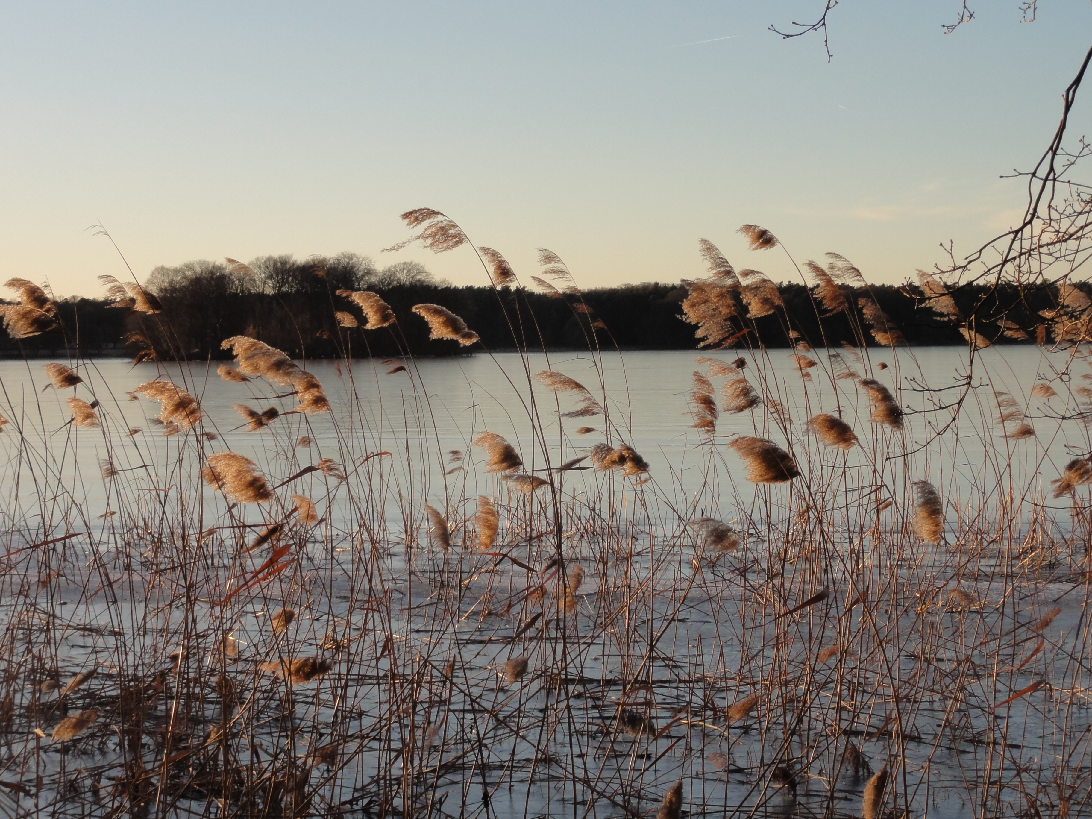
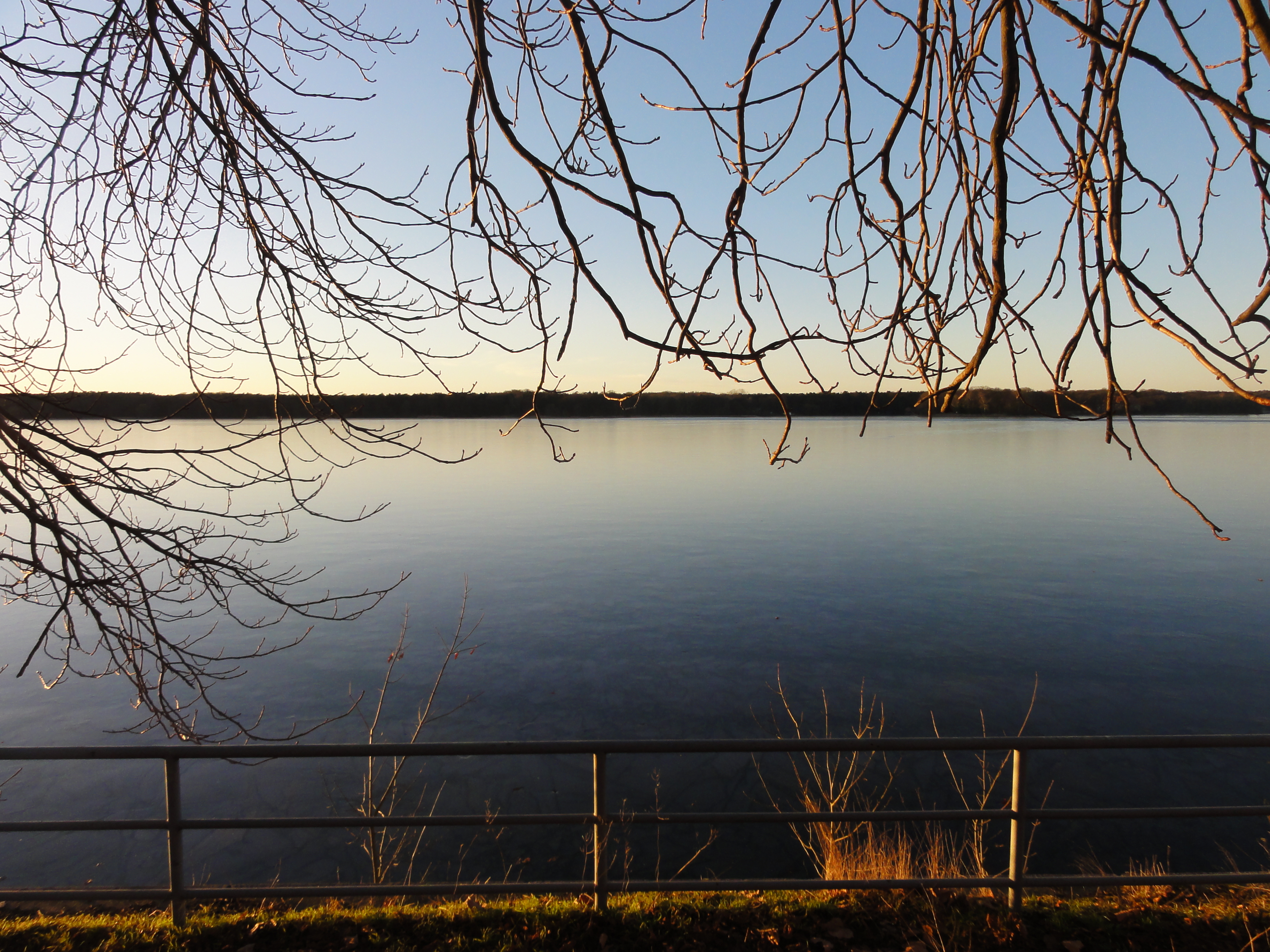
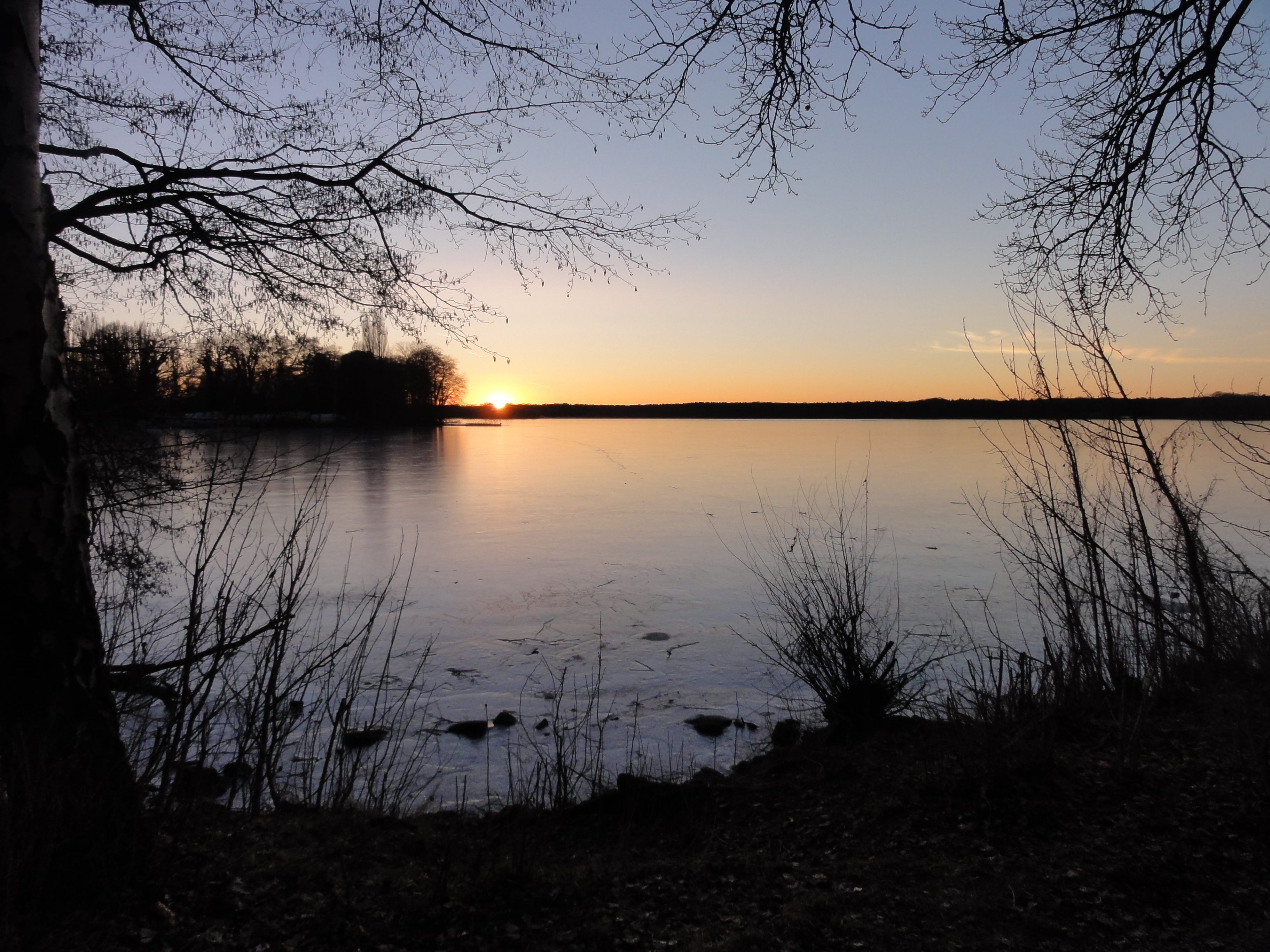
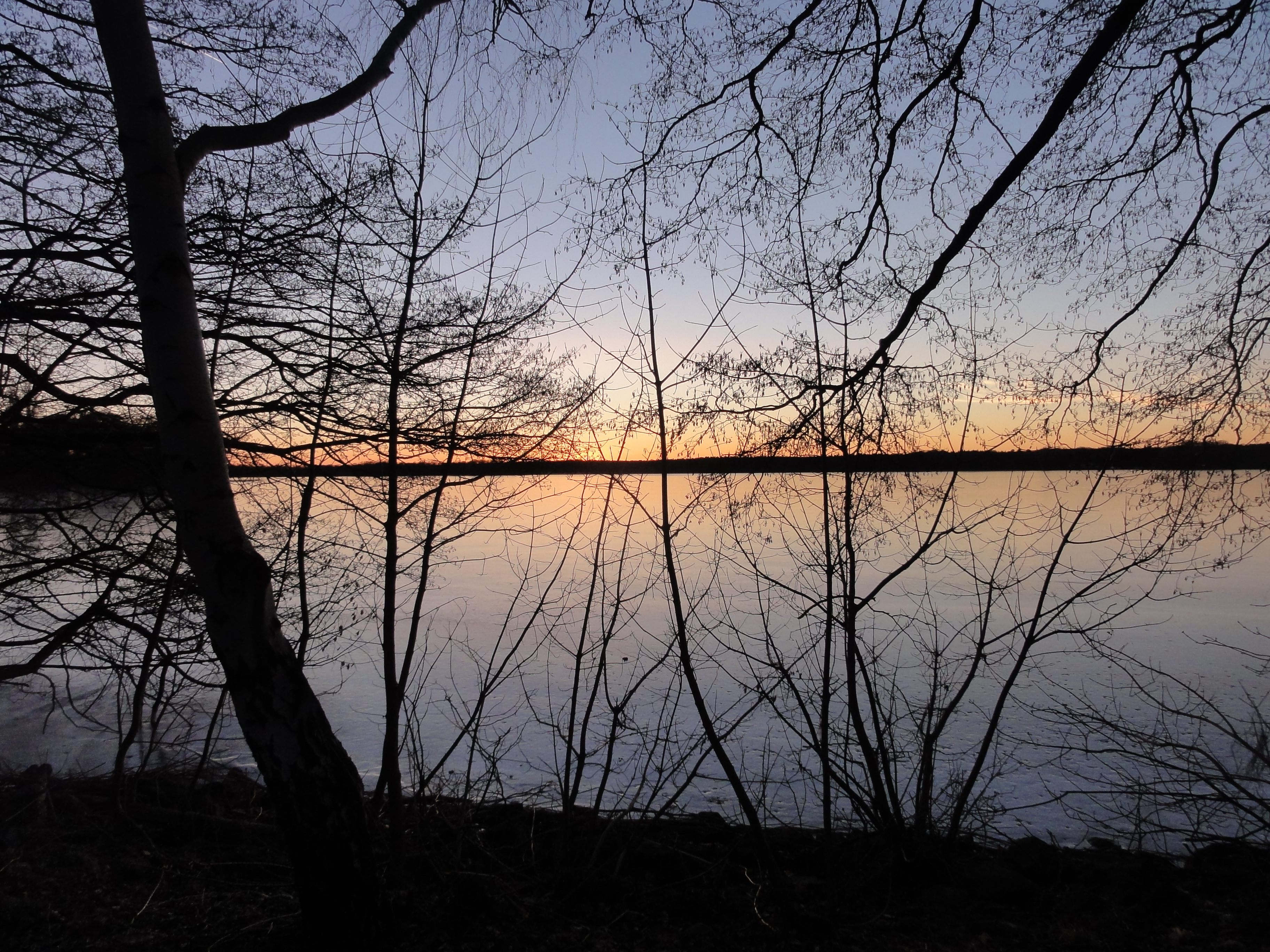
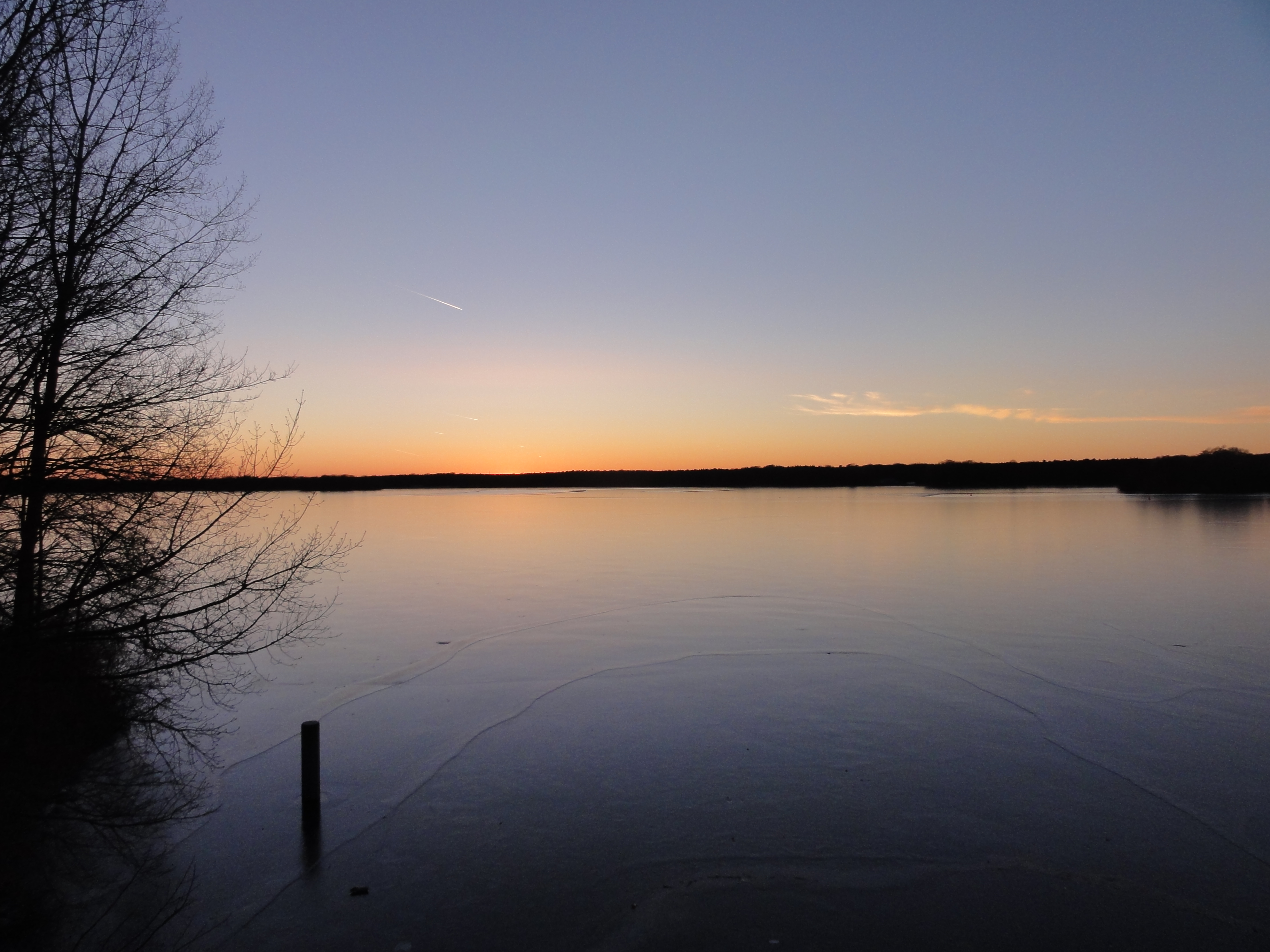
The TEGELER FLIESS! It's one of the most beautiful places
of Berlin at every time of the year!
But wheen you come back in summer, you will have hundreds of kinds of flowers
(but millions of moscitos !-)
|
|
2011:03:20 15:53:58
---
52 deg 37' 14.89" N, 13 deg 21' 55.36" E
314.5
°
©
ml
|
|
|
2011:03:20 15:54:25
---
52 deg 37' 15.19" N, 13 deg 21' 55.51" E
290.25
°
©
ml
|
|
|
2011:03:20 15:56:34
---
52 deg 37' 14.13" N, 13 deg 21' 49.58" E
313.25
°
©
ml
|
|
|
2011:03:20 15:58:42
---
52 deg 37' 12.39" N, 13 deg 21' 45.83" E
75.25
°
©
ml
|
|
|
2011:03:20 16:00:43
---
52 deg 37' 11.81" N, 13 deg 21' 39.39" E
318
°
©
ml
|
|
|
2011:03:20 16:01:39
---
52 deg 37' 11.45" N, 13 deg 21' 37.16" E
194.75
°
©
ml
|
|
|
2011:03:20 16:02:35
---
52 deg 37' 11.36" N, 13 deg 21' 36.71" E
178.25
°
©
ml
|
|
|
2011:03:20 16:04:10
---
52 deg 37' 13.34" N, 13 deg 21' 34.99" E
76.5
°
©
ml
|
|
|
2011:03:20 16:07:23
---
52 deg 37' 14.82" N, 13 deg 21' 29.20" E
300.25
°
©
ml
|
|
|
2011:03:20 16:09:33
---
52 deg 37' 14.14" N, 13 deg 21' 27.31" E
106.5
°
©
ml
|
|
|
2011:03:20 16:09:53
---
52 deg 37' 13.88" N, 13 deg 21' 27.35" E
323
°
©
ml
|
|
|
2011:03:20 16:10:04
---
52 deg 37' 14.21" N, 13 deg 21' 27.03" E
308.5
°
©
ml
|
|
|
2011:03:20 16:08:51
---
52 deg 37' 14.03" N, 13 deg 21' 26.69" E
294
°
©
ml
|
|
|
2011:03:20 16:11:01
---
52 deg 37' 13.53" N, 13 deg 21' 24.60" E
180.25
°
©
ml
|
|
|
2011:03:20 16:18:24
---
52 deg 37' 12.56" N, 13 deg 21' 19.24" E
298.5
°
©
ml
|
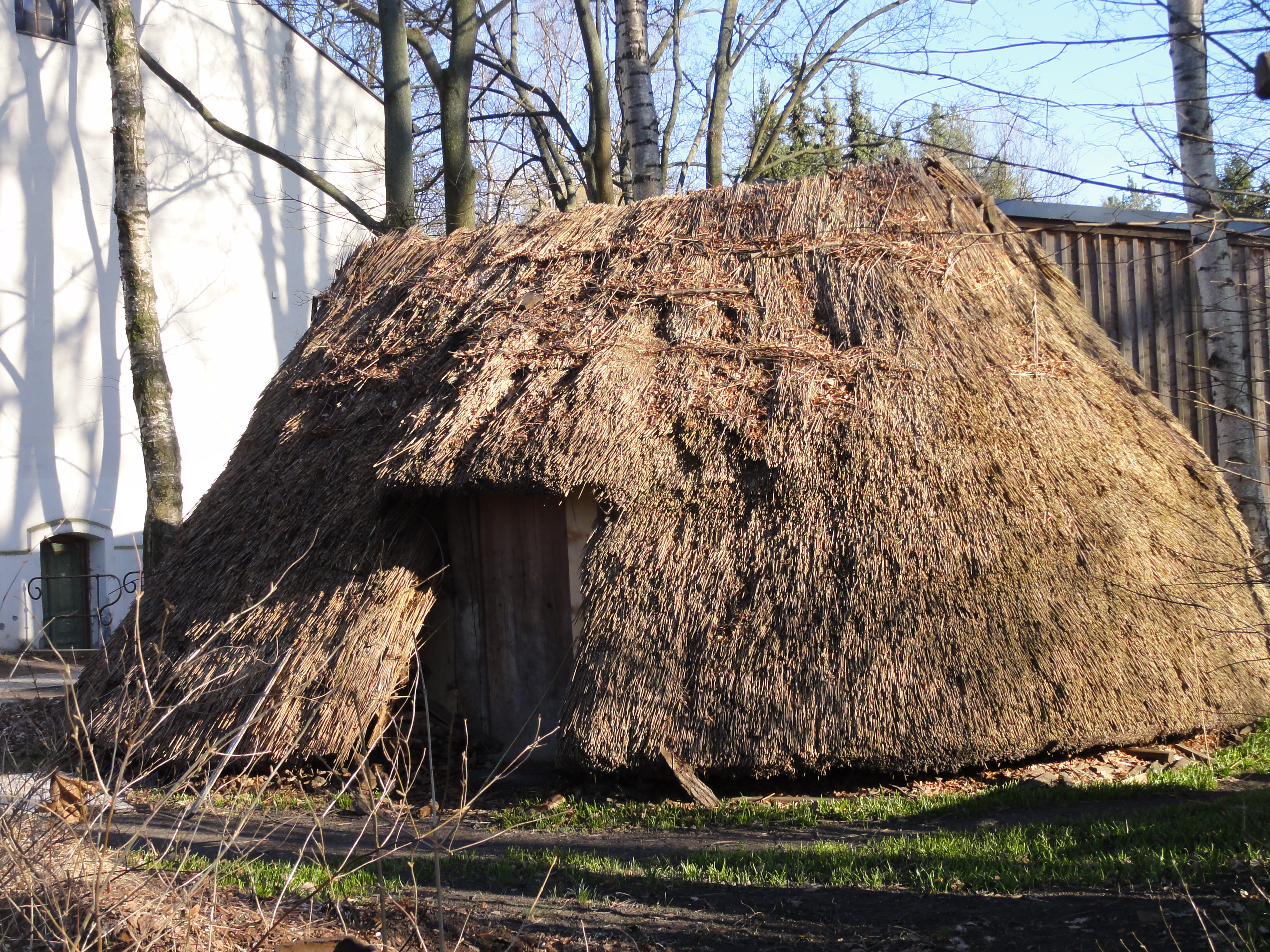
This is NOT an original buildung of the Lübars village, but a
reconstruction what COULD have stood here in the 13th century
(Notabene, a time when the Roman Emperors' Palaces had gone to ruins
already for ninehundred years. No wonder they called as "Barbarians" !-)
|
|
2011:03:20 16:18:18
---
52 deg 37' 12.56" N, 13 deg 21' 19.24" E
109.25
°
©
ml
|
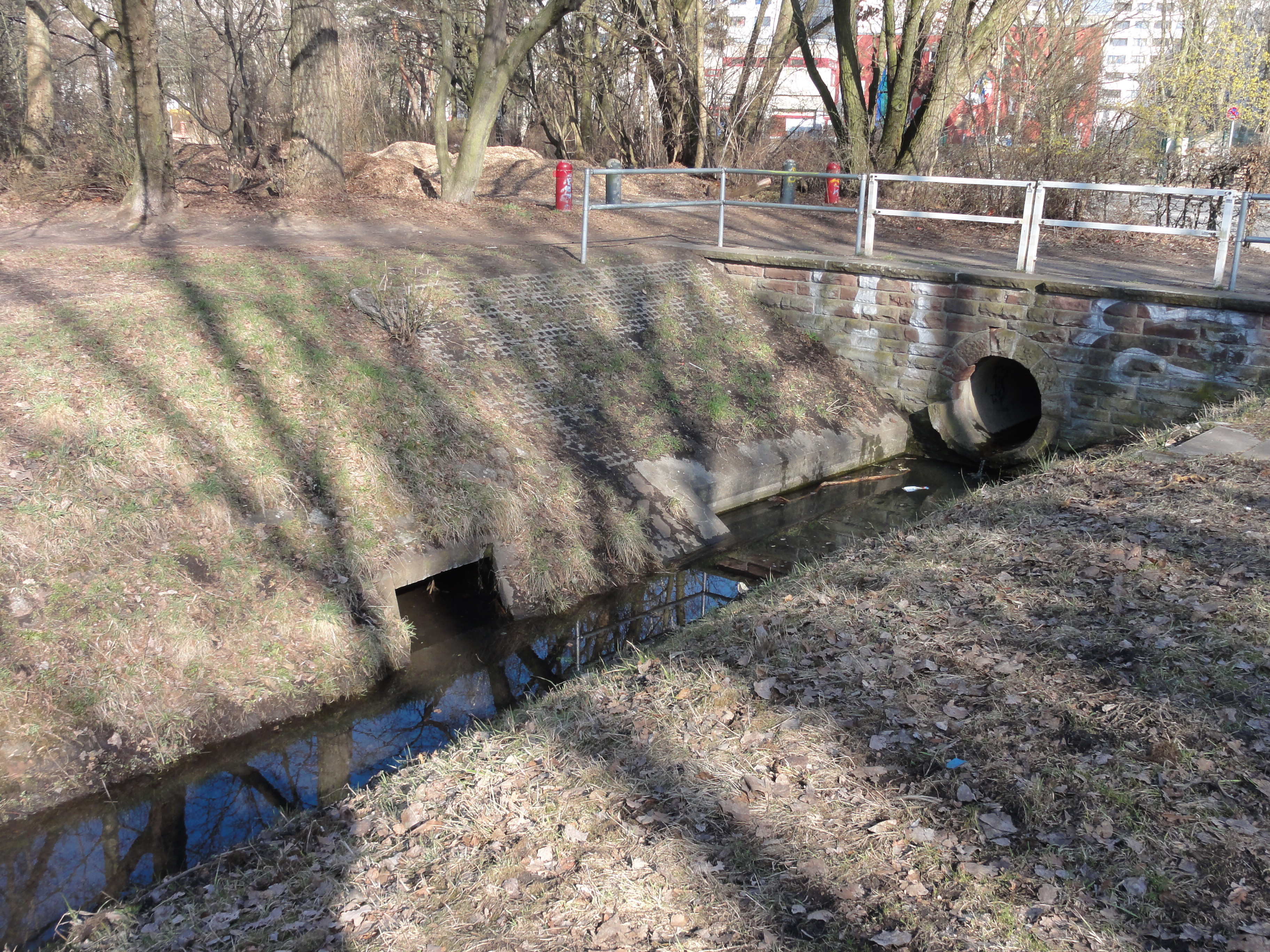
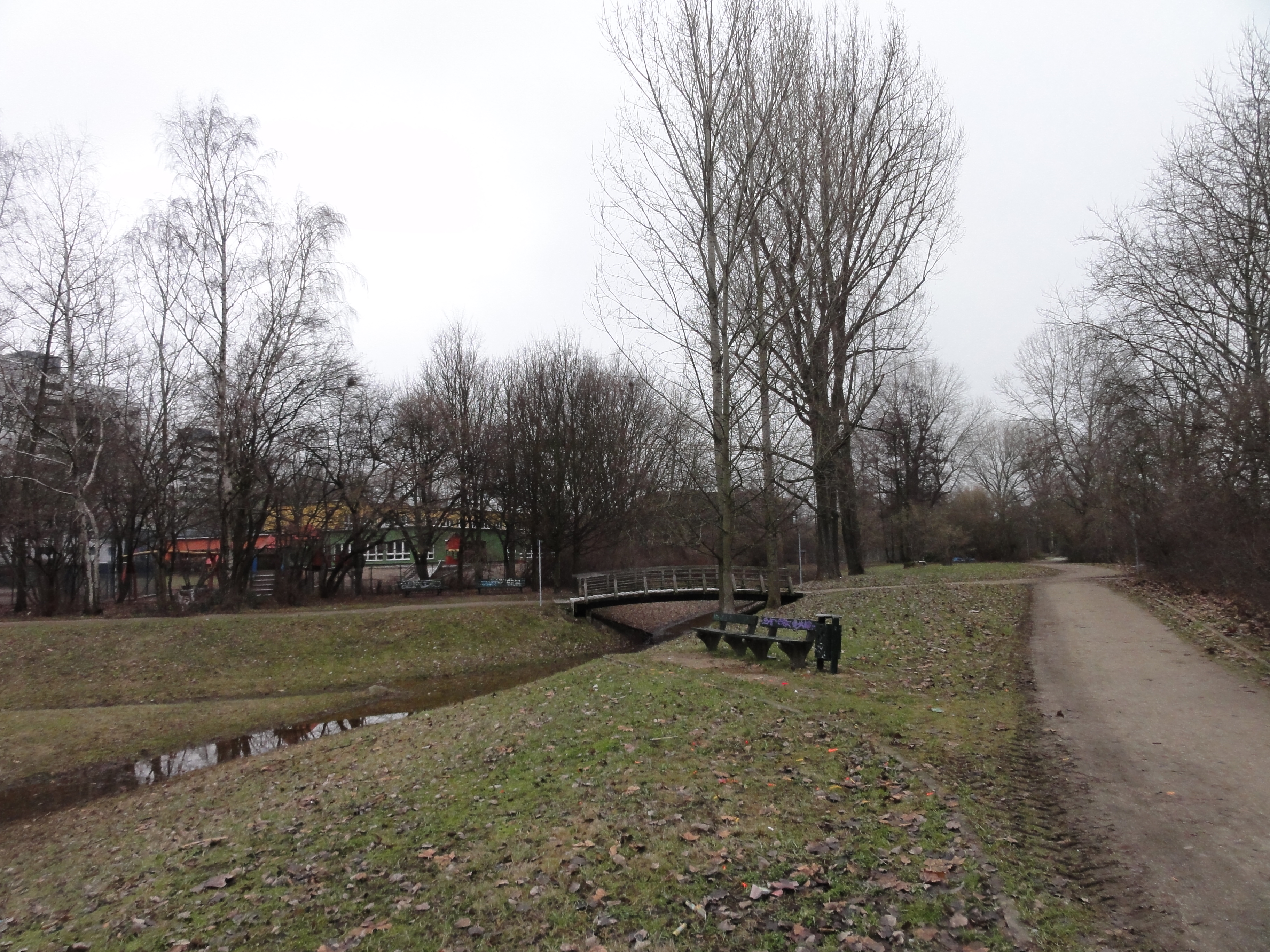
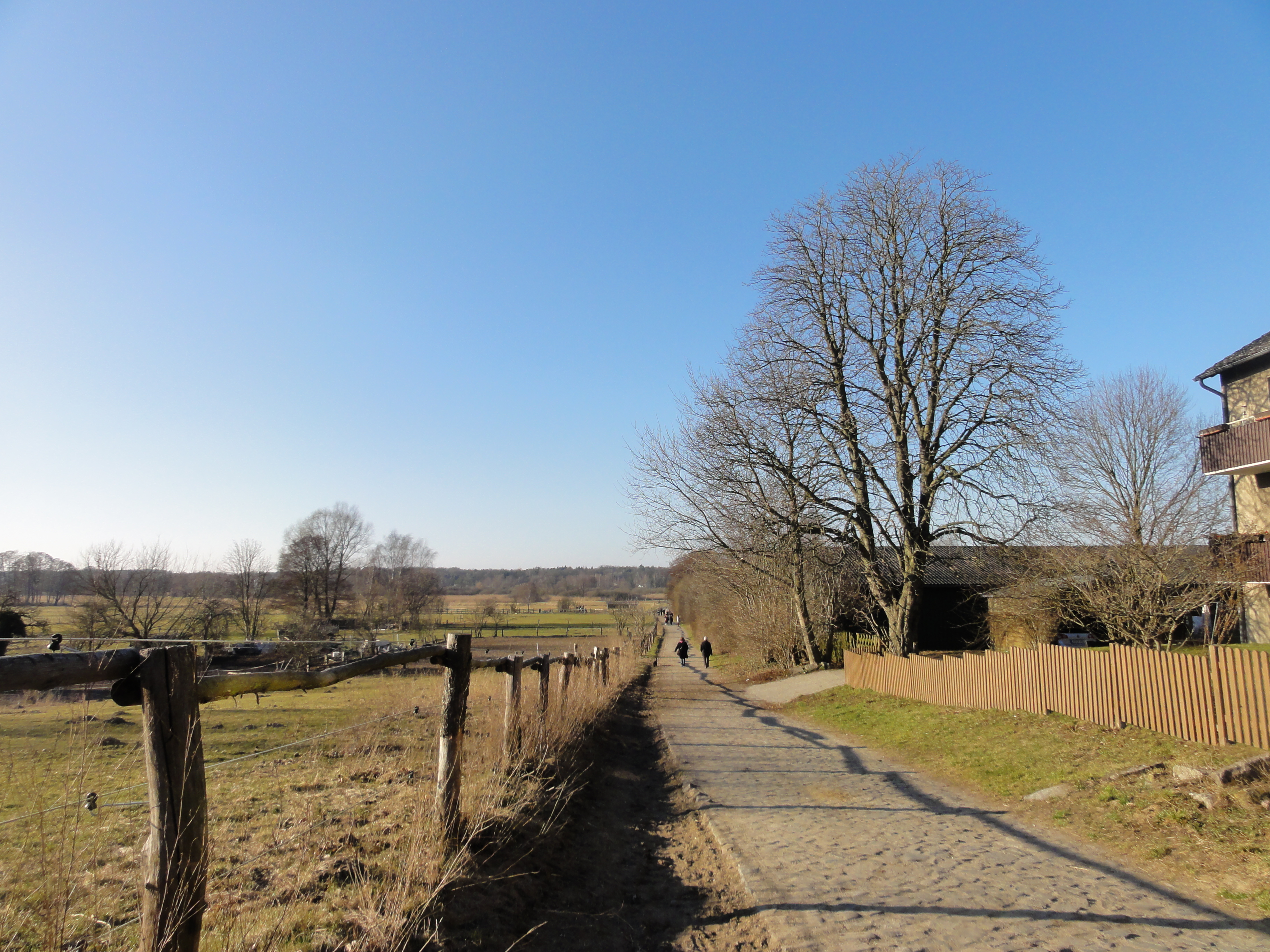
After a few meters we reach the end of the village (it's small, since original!) and turn right, back into the Tegeler Fließ:
|
|
2011:03:20 16:20:54
---
52 deg 37' 9.97" N, 13 deg 21' 12.53" E
315
°
©
ml
|
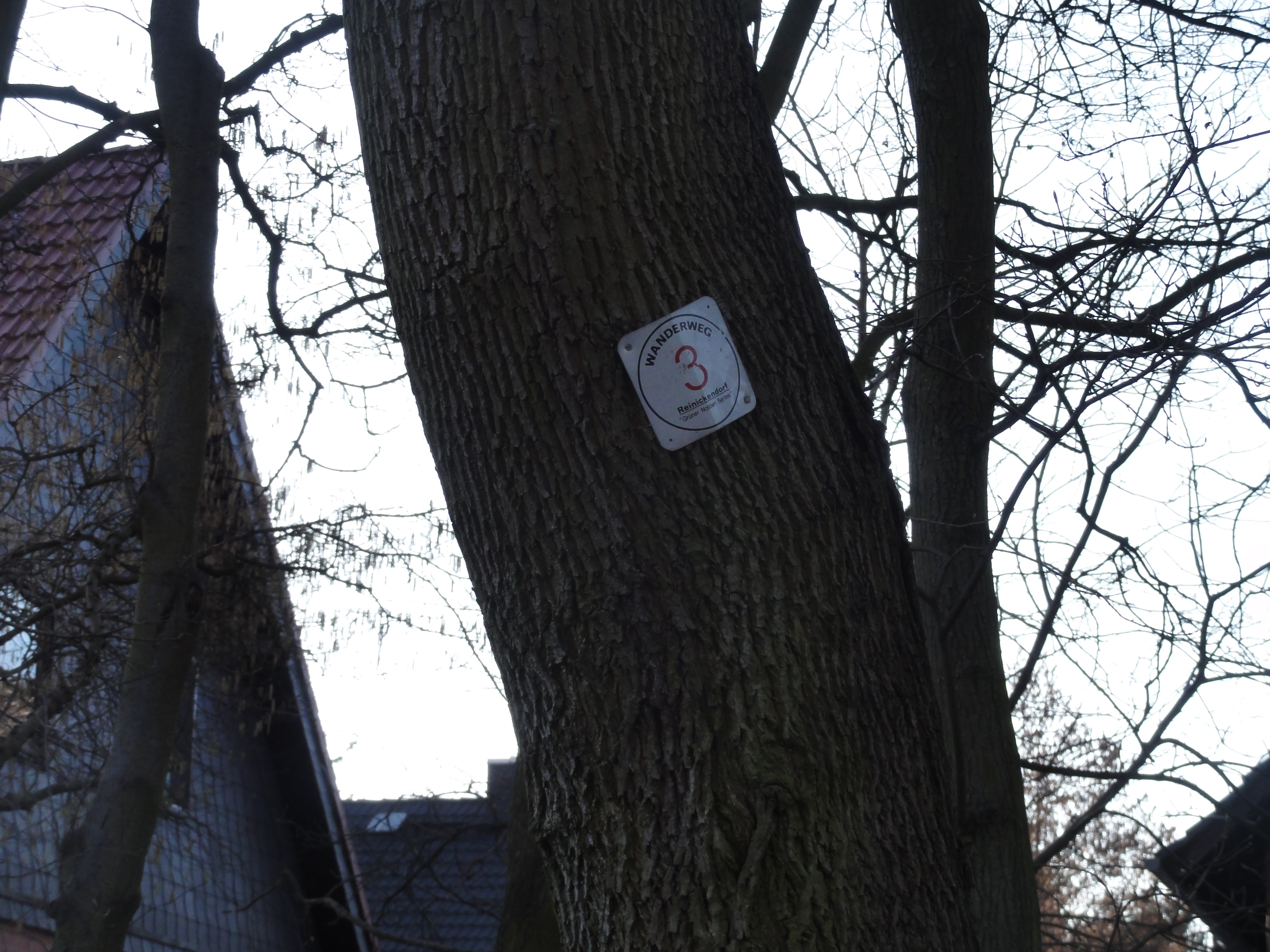
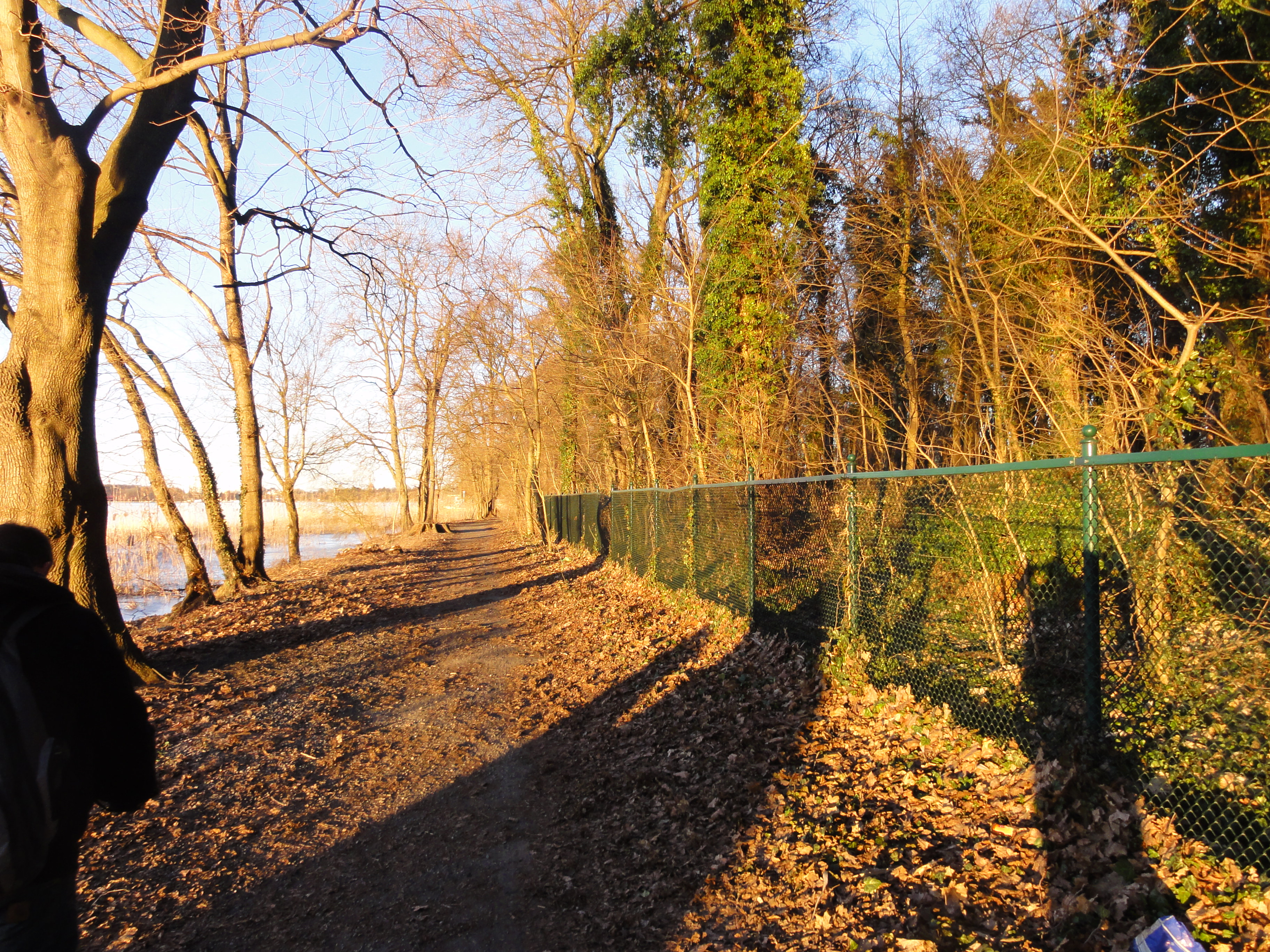
From Lübars to Hermsdorf, you can follow the "blue line" hiking path, or the path "nuber three. The signs of the latter are hardly visible:
|
|
2011:03:20 16:57:39
---
52 deg 37' 26.77" N, 13 deg 19' 49.13" E
249.5
°
©
ml
|
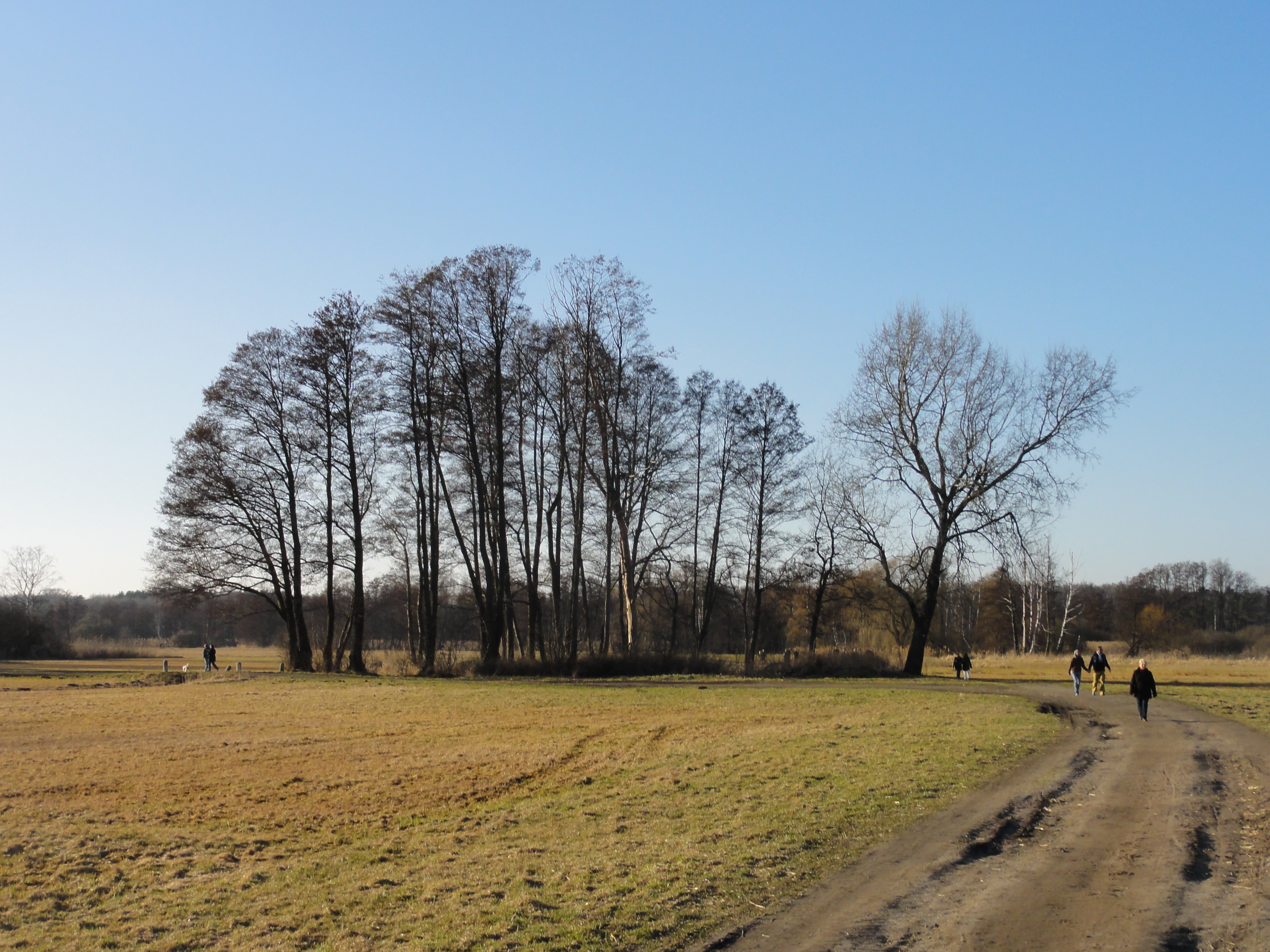
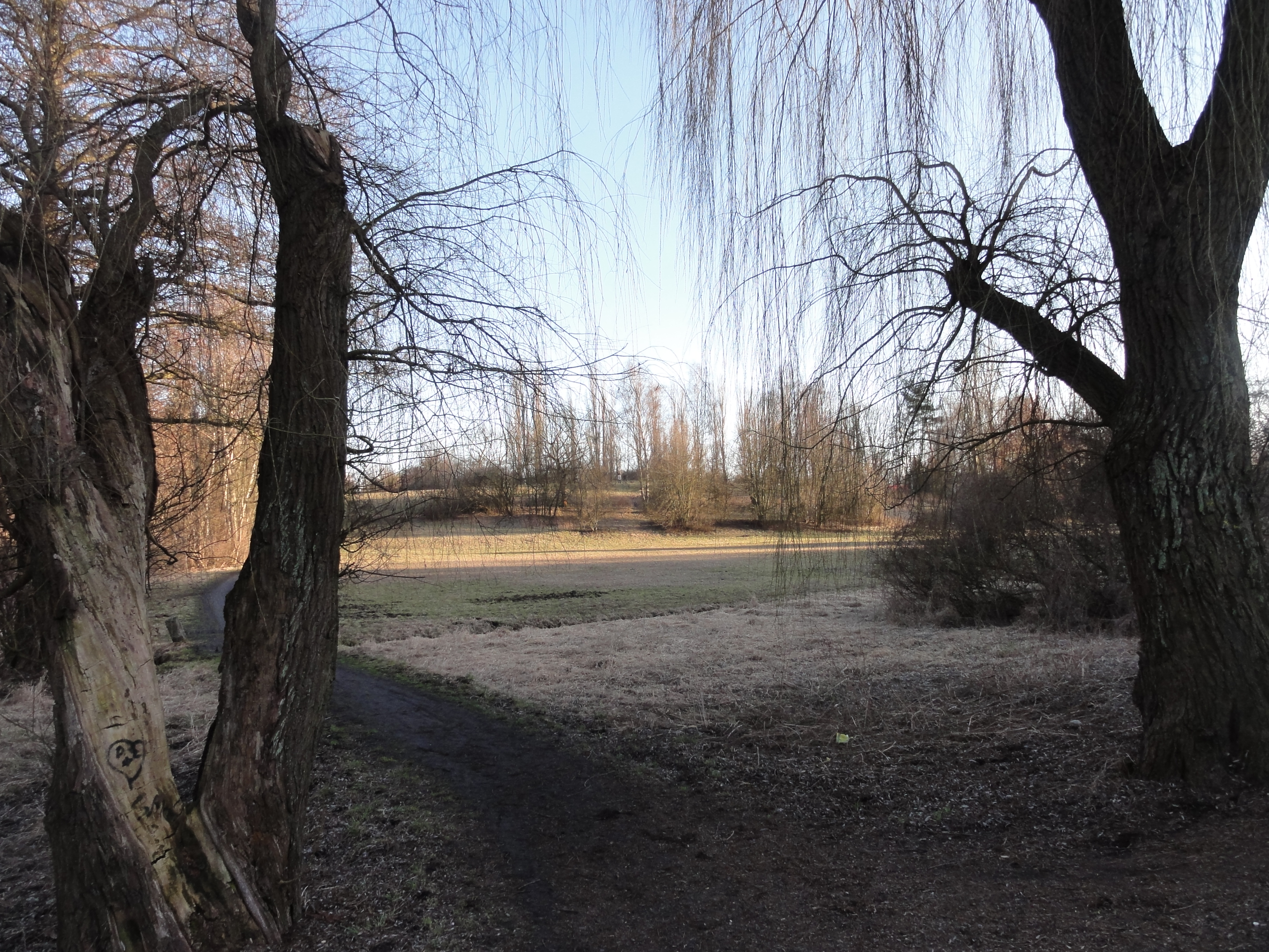
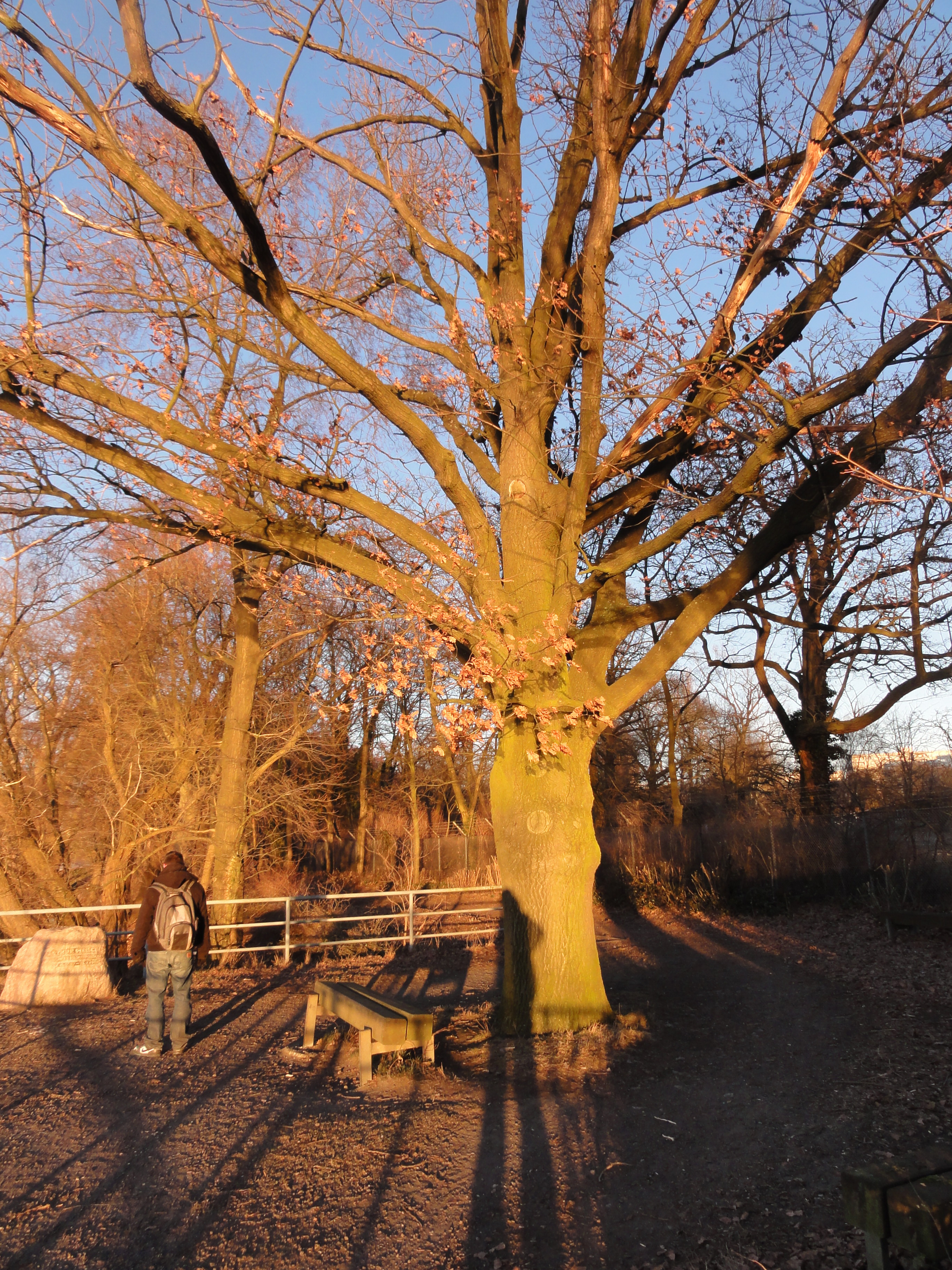
Its a loverly sunday, and a lot of walkers and cyclists are on their way, ...
|
|
2011:03:20 16:29:00
---
52 deg 37' 14.28" N, 13 deg 20' 54.01" E
296.25
°
©
ml
|
|
|
2011:03:20 16:34:52
---
52 deg 37' 22.29" N, 13 deg 20' 40.23" E
331
°
©
ml
|
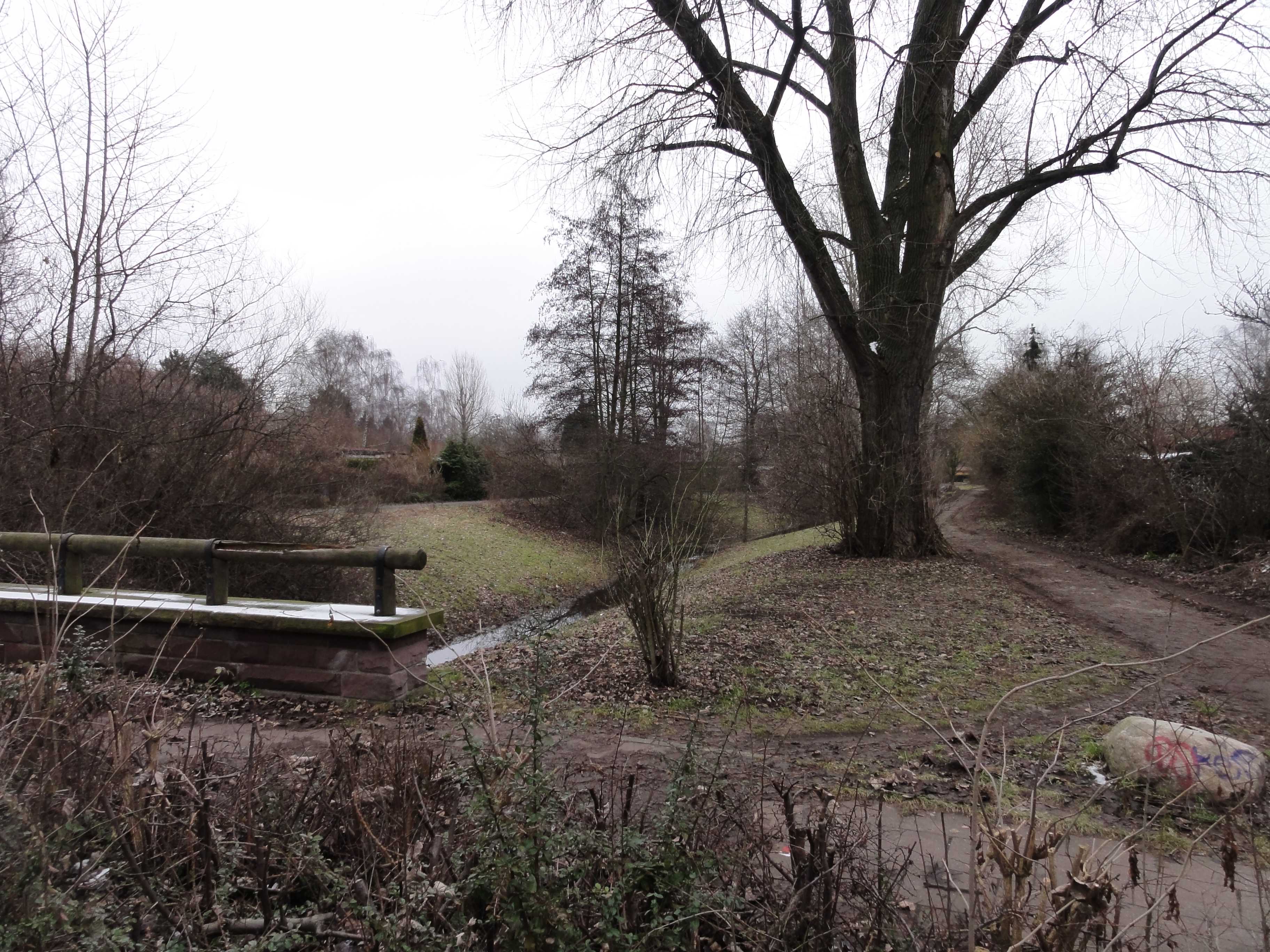
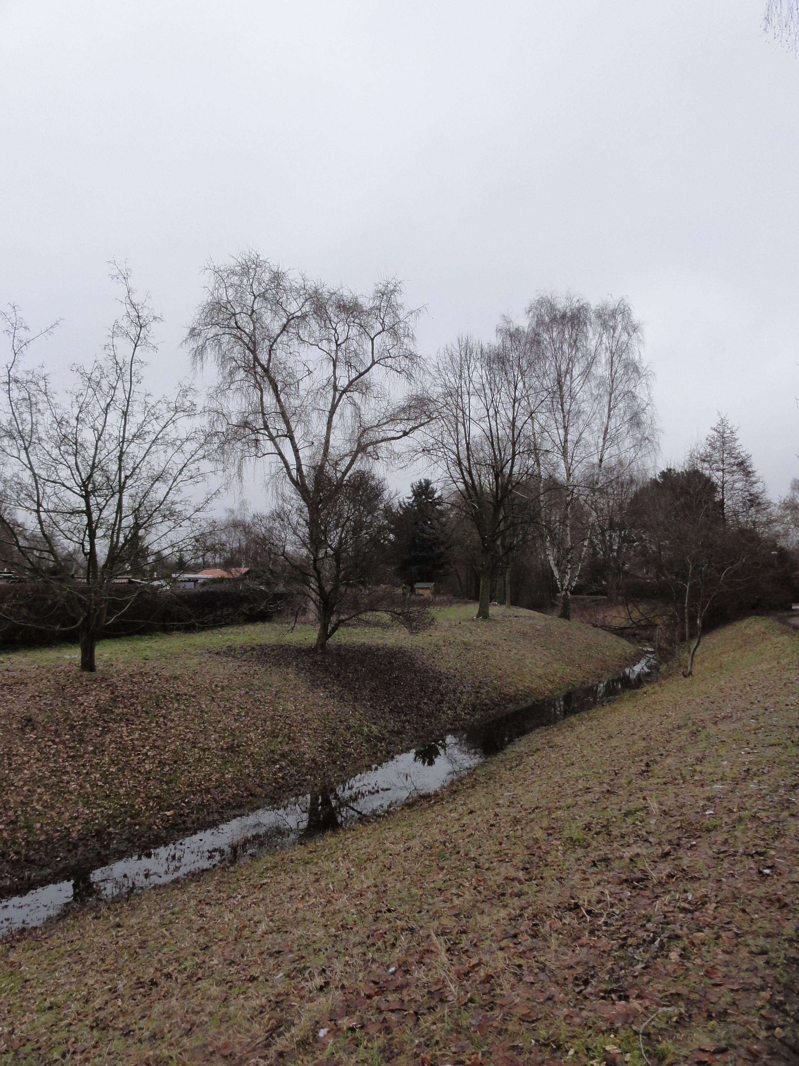
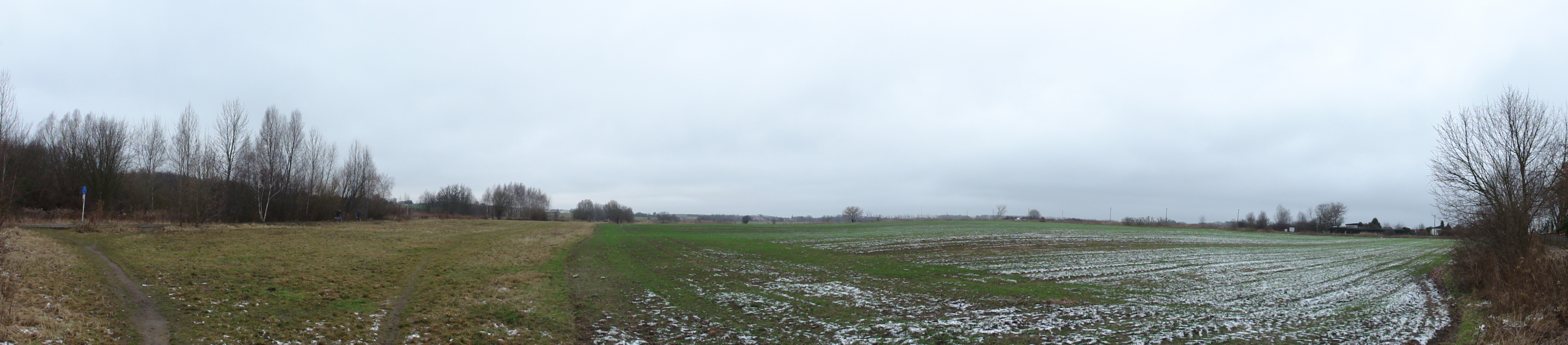
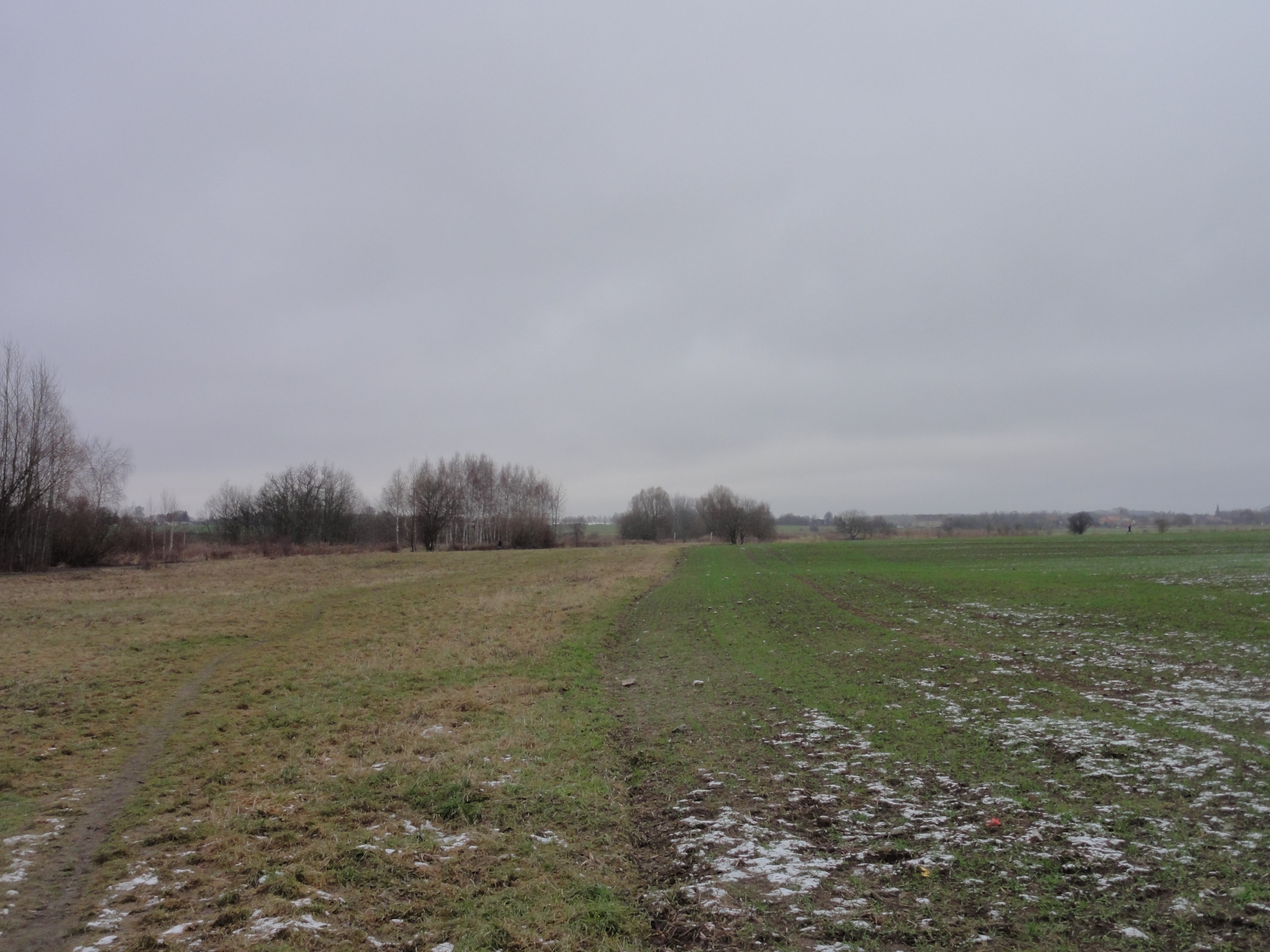
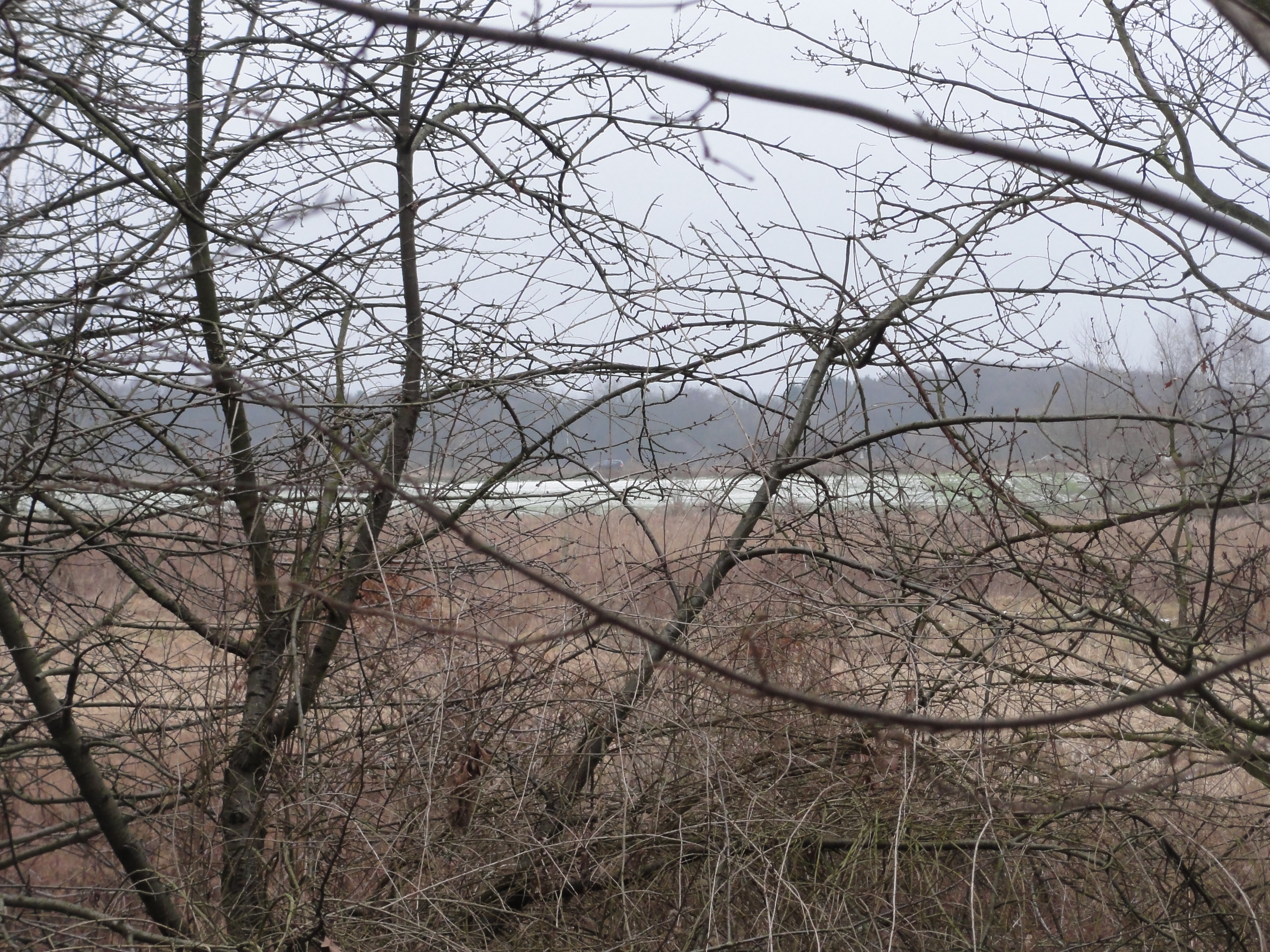
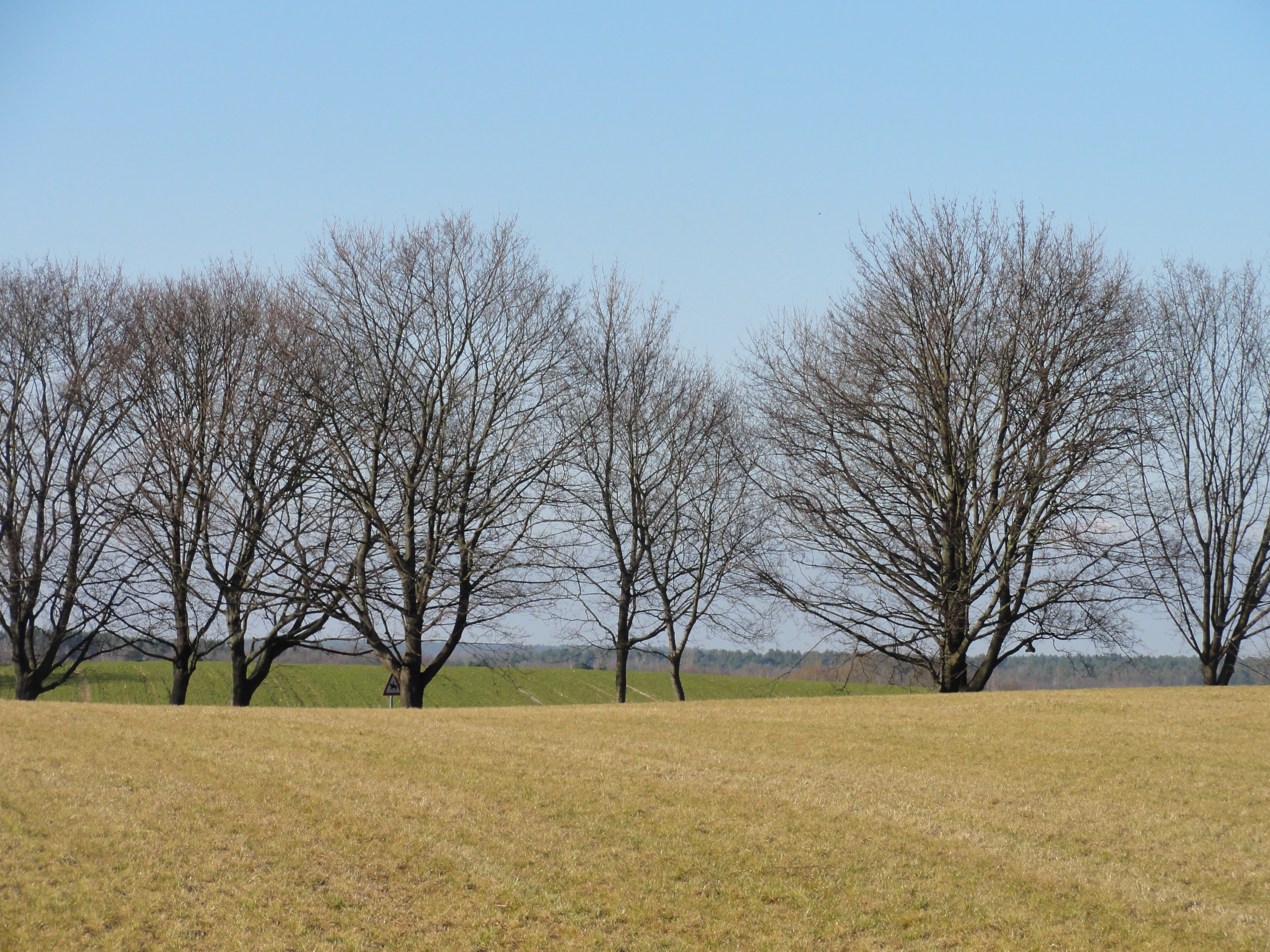
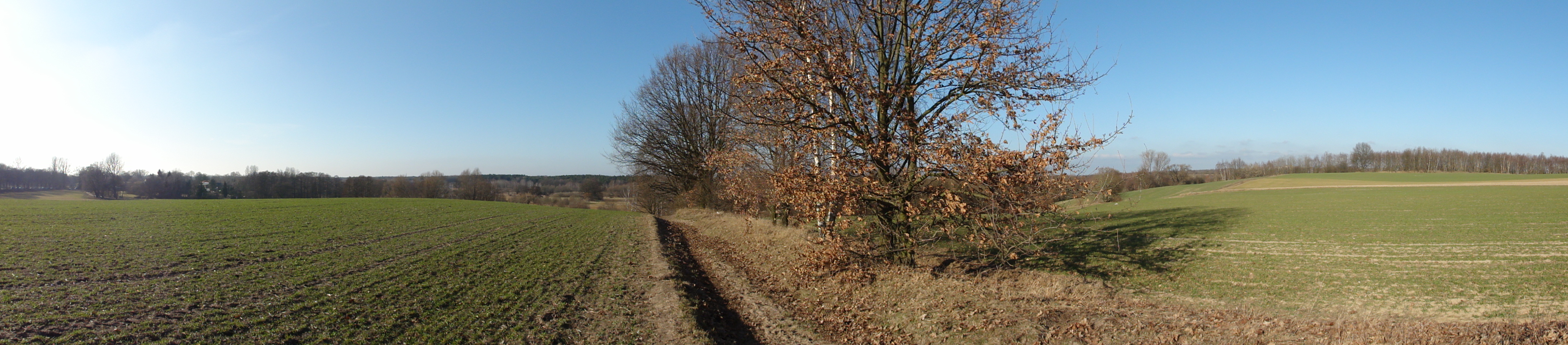
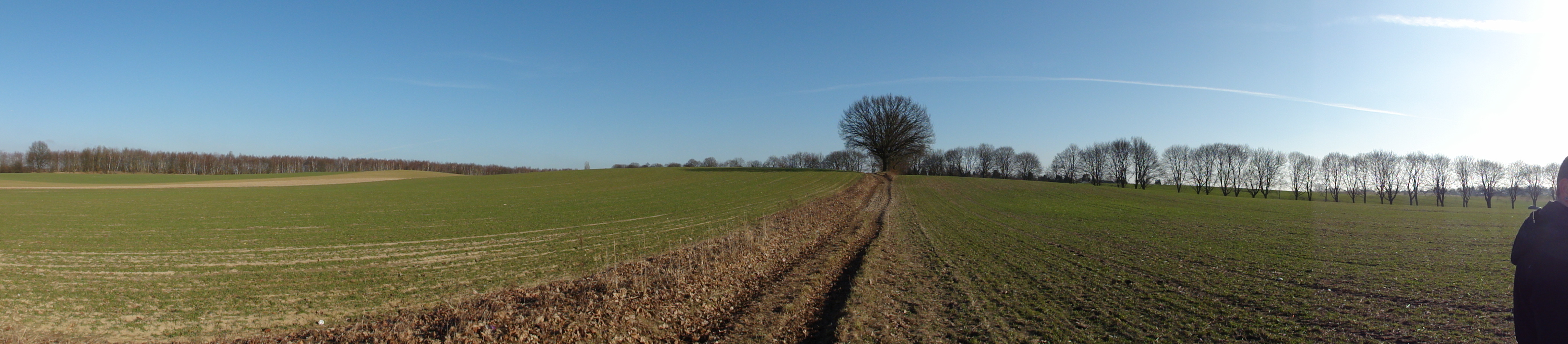
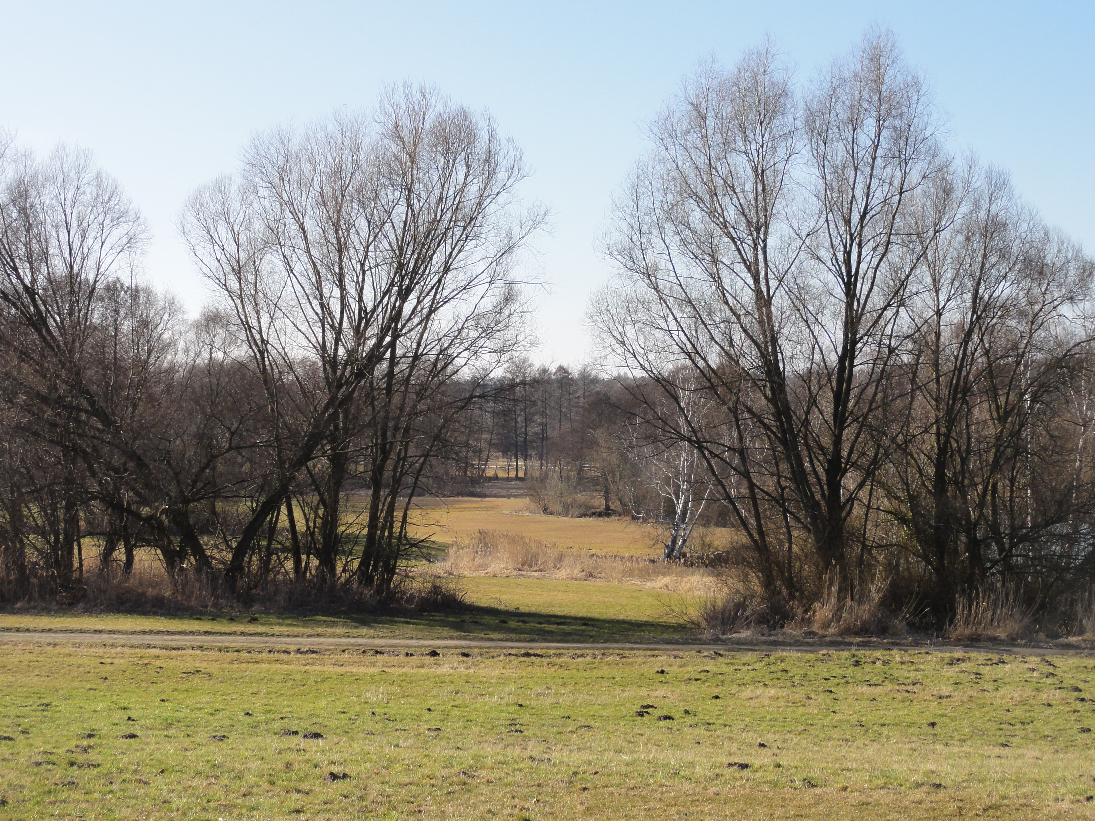
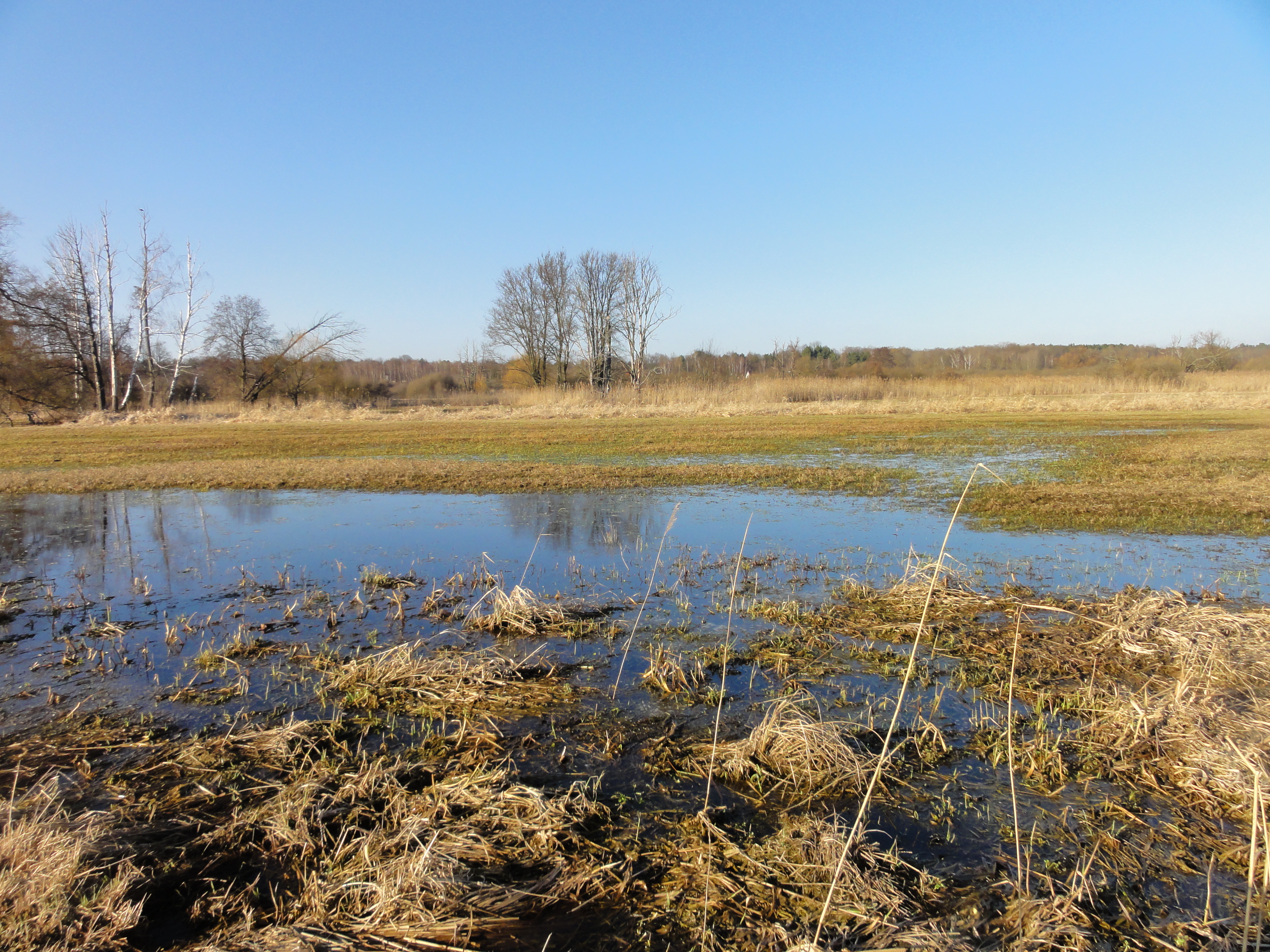
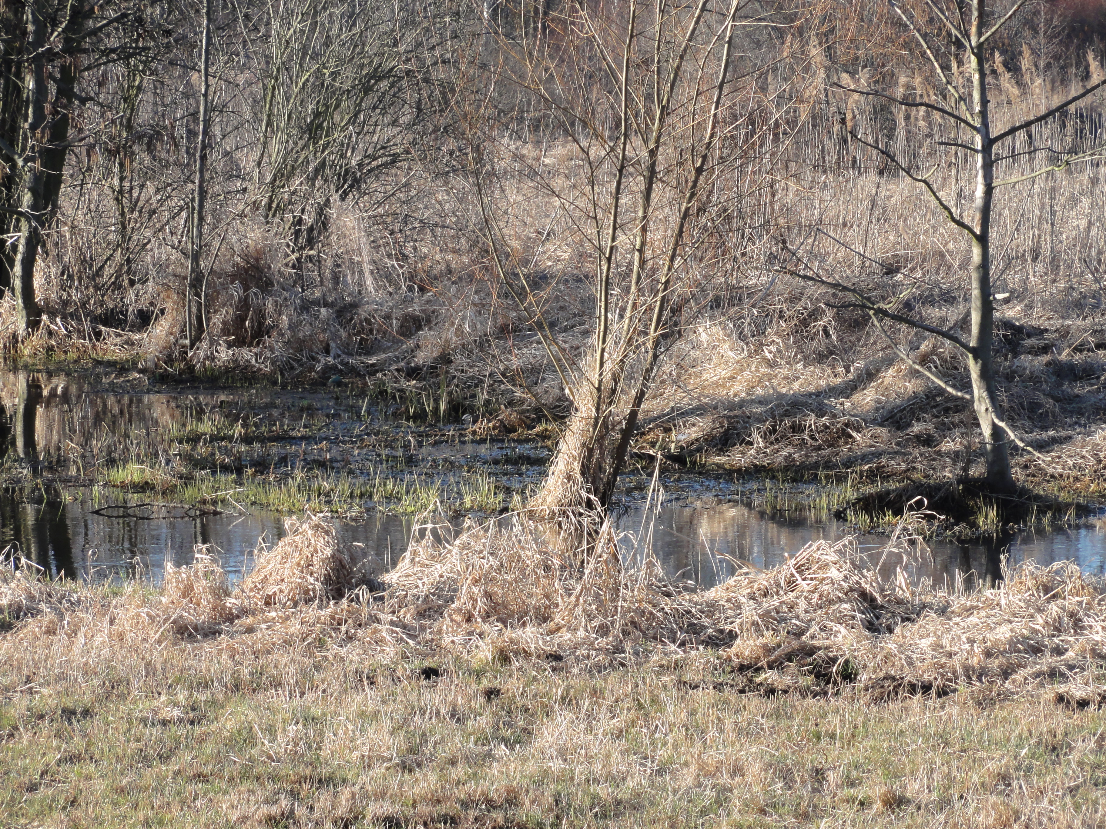
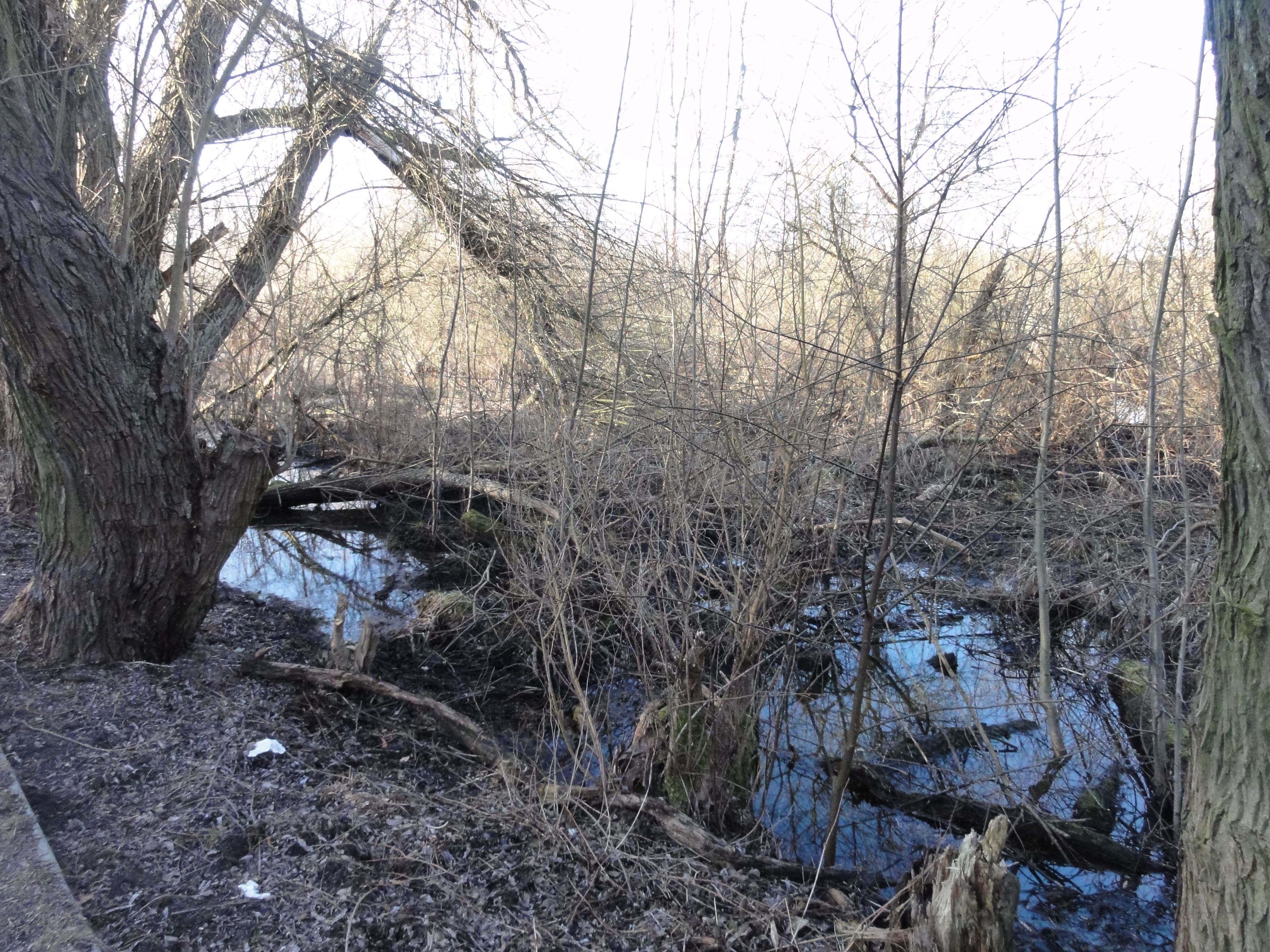
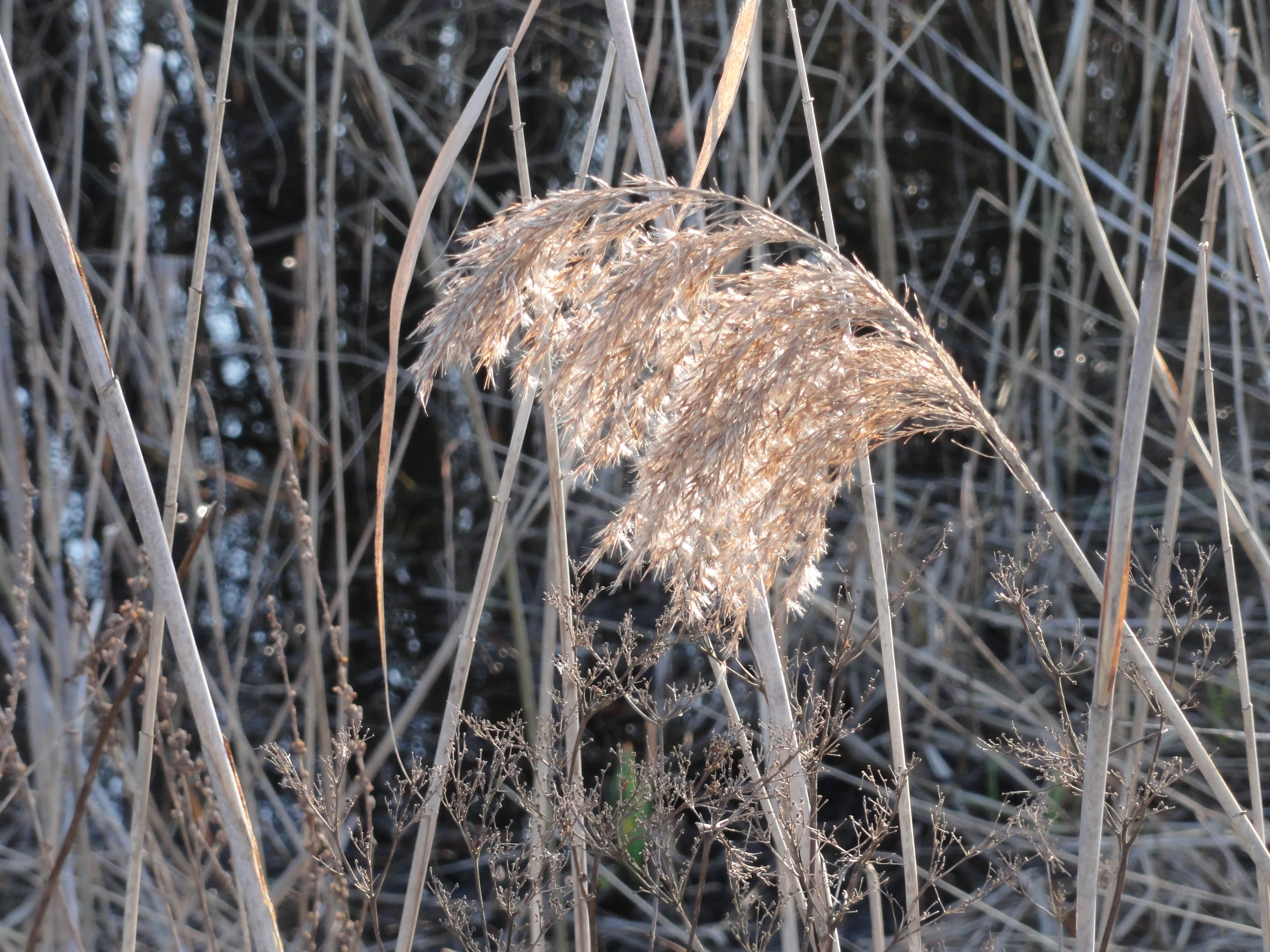
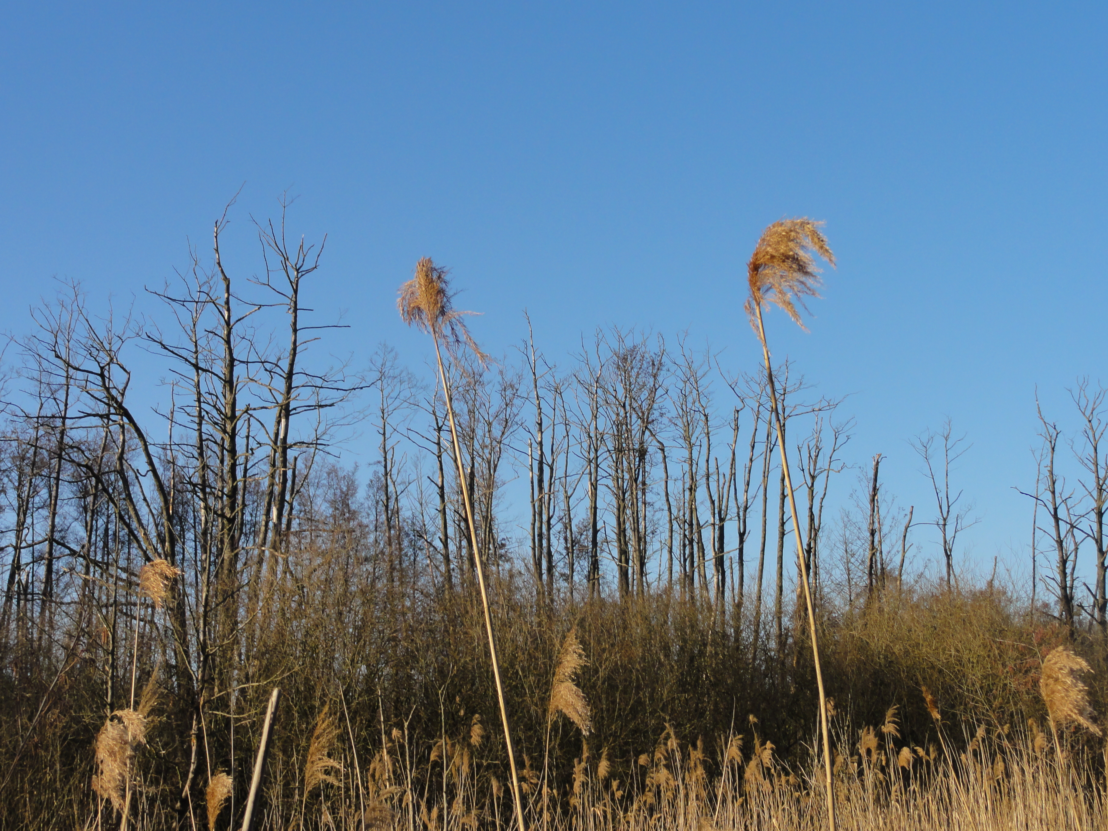
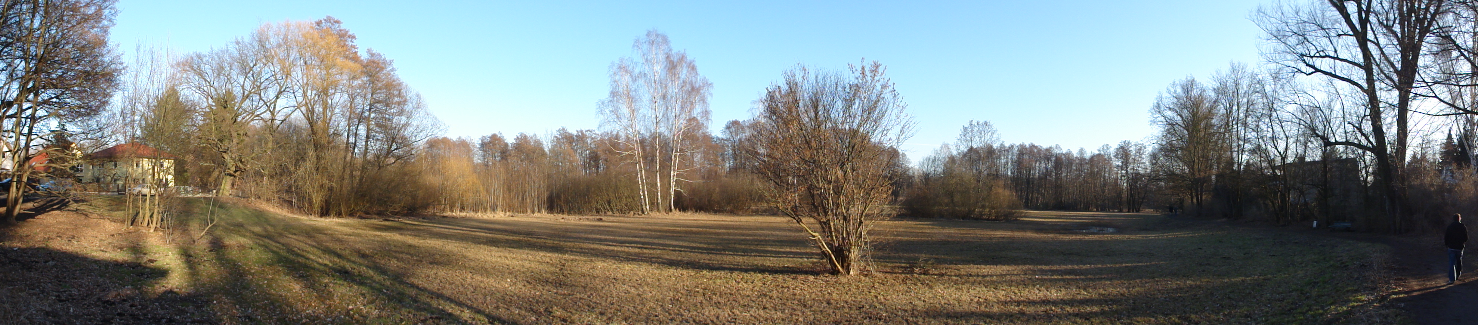
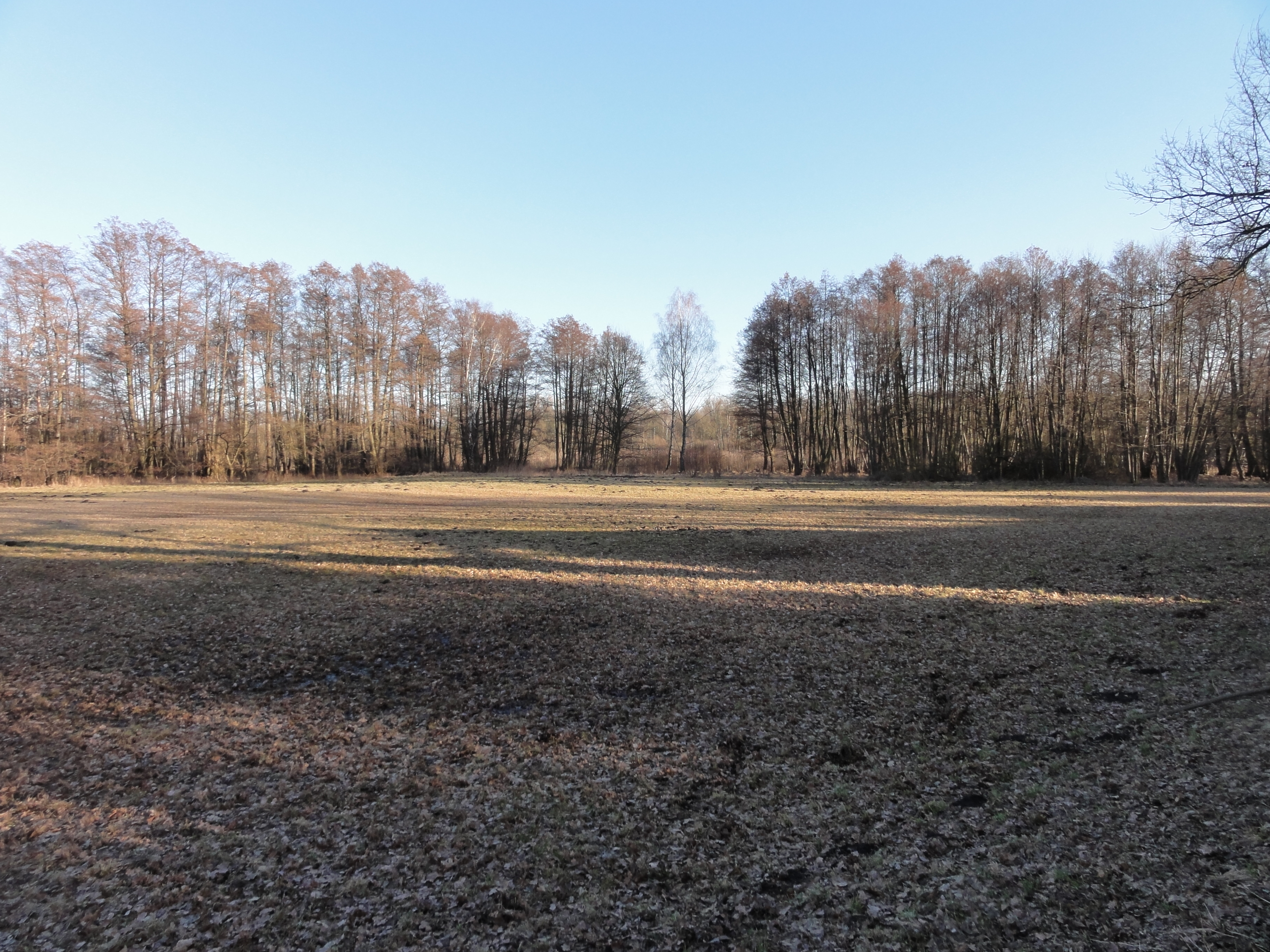
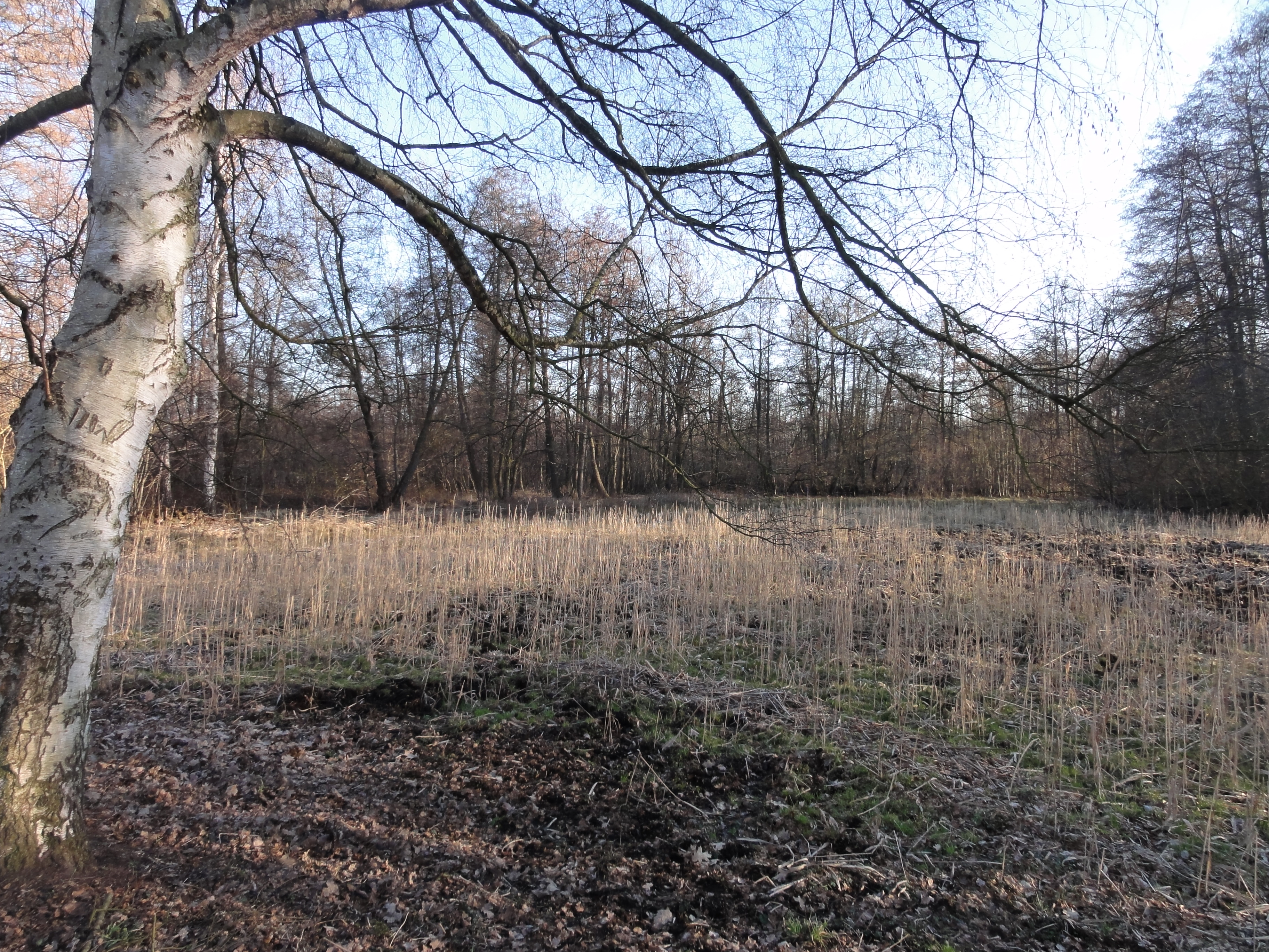
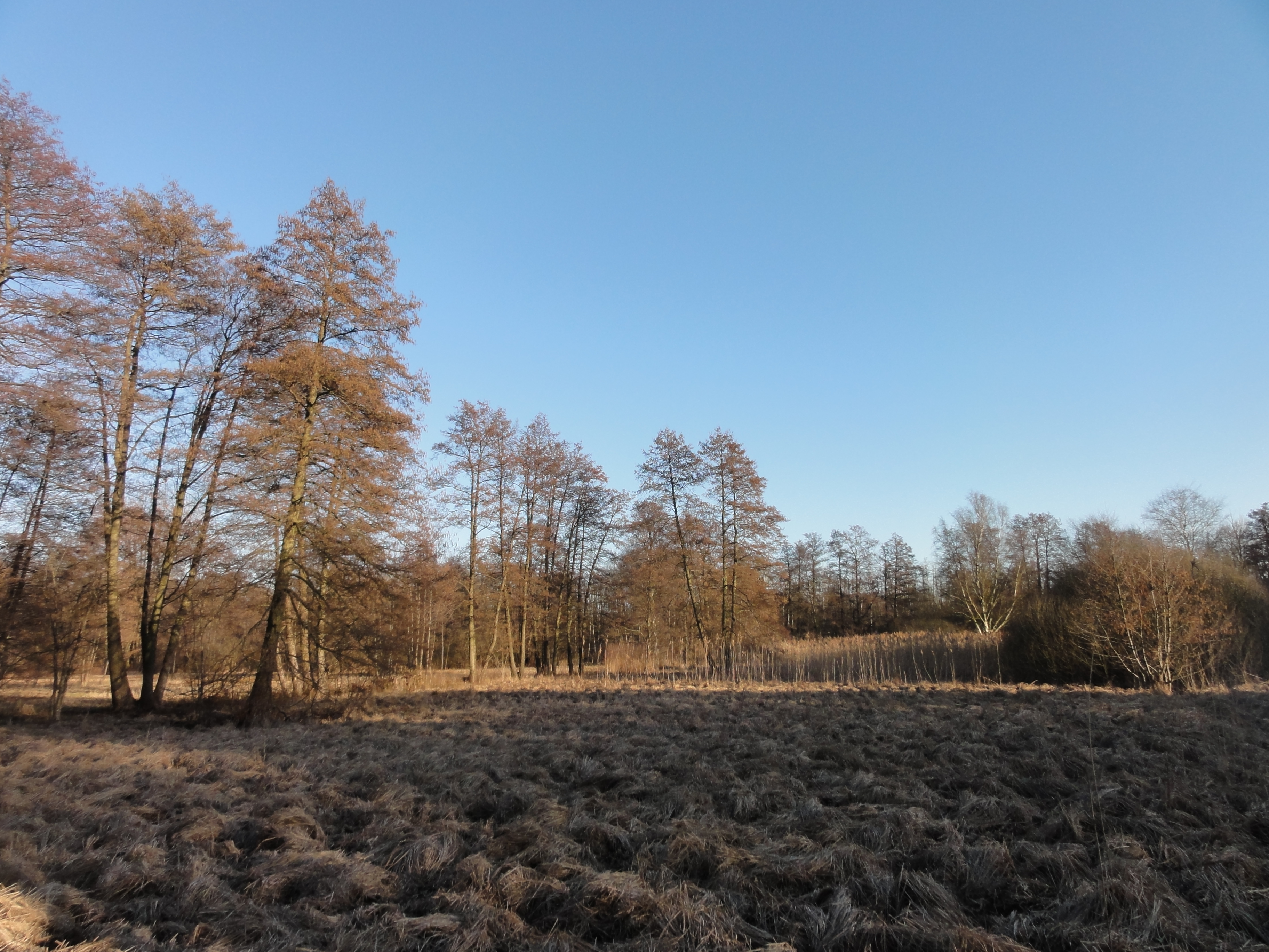
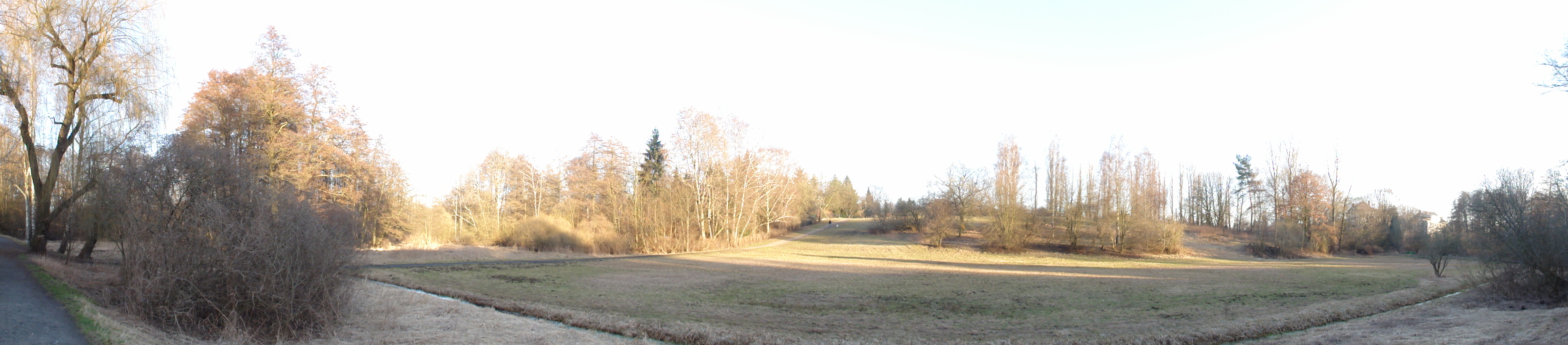
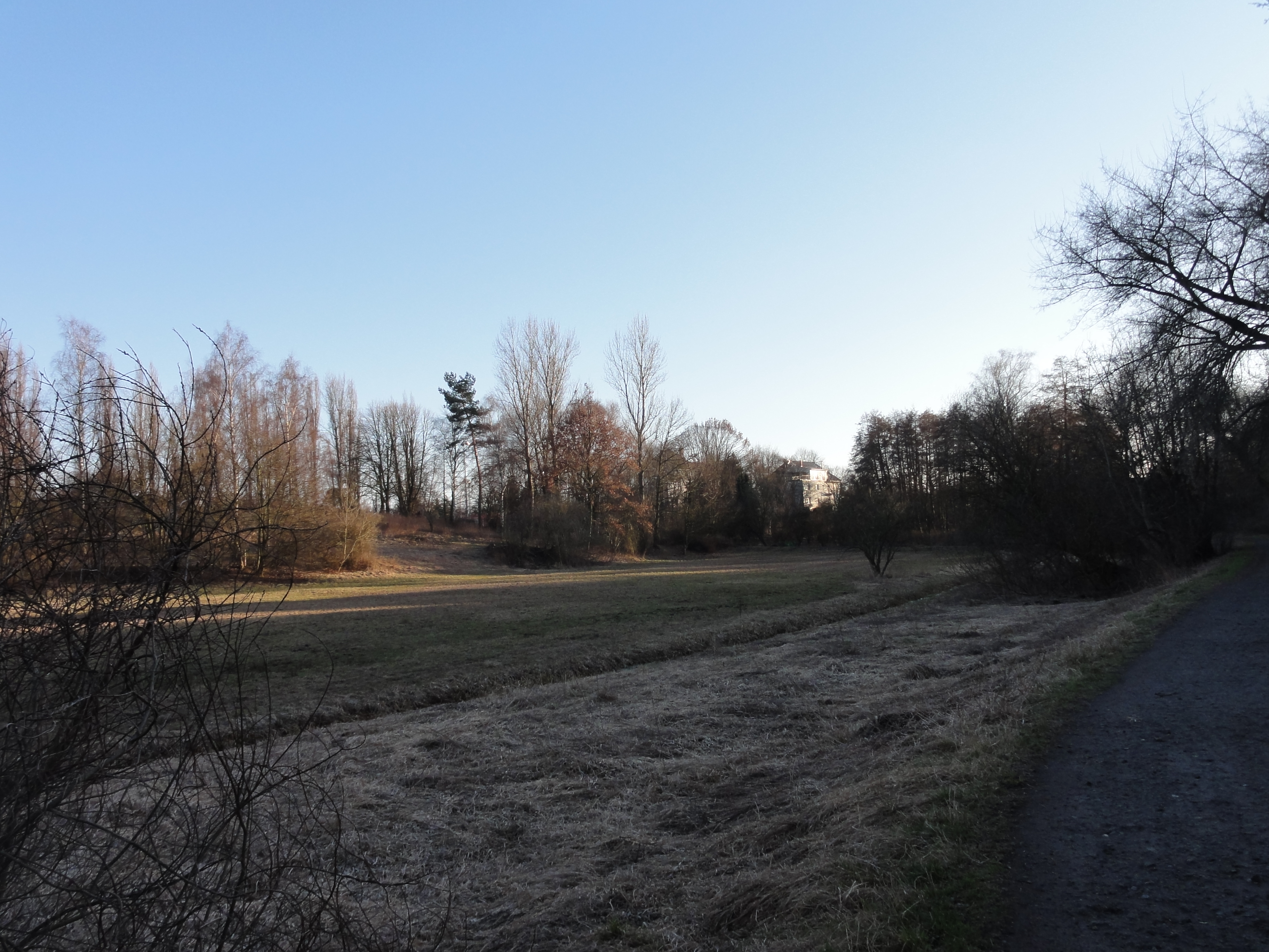
..., but the vast plains are totally free of humans! Why that? They are SWAMPS! Don't leave the official trail, it MAY be dangerous (depending on the weather and the time of the year)!
|
|
2011:03:20 16:28:02
---
52 deg 37' 13.19" N, 13 deg 20' 55.10" E
346.5
°
©
ml
|
|
|
2011:03:20 16:32:00
---
52 deg 37' 17.42" N, 13 deg 20' 50.03" E
319.5
°
©
ml
|
|
|
2011:03:20 16:32:35
---
52 deg 37' 19.51" N, 13 deg 20' 45.65" E
339.75
°
©
ml
|
|
|
2011:03:20 16:40:05
---
52 deg 37' 22.58" N, 13 deg 20' 26.35" E
315.75
°
©
ml
|
|
|
2011:03:20 16:39:53
---
52 deg 37' 22.51" N, 13 deg 20' 27.87" E
308
°
©
ml
|
|
|
2011:03:20 16:47:16
---
52 deg 37' 21.61" N, 13 deg 20' 20.56" E
344
°
©
ml
|
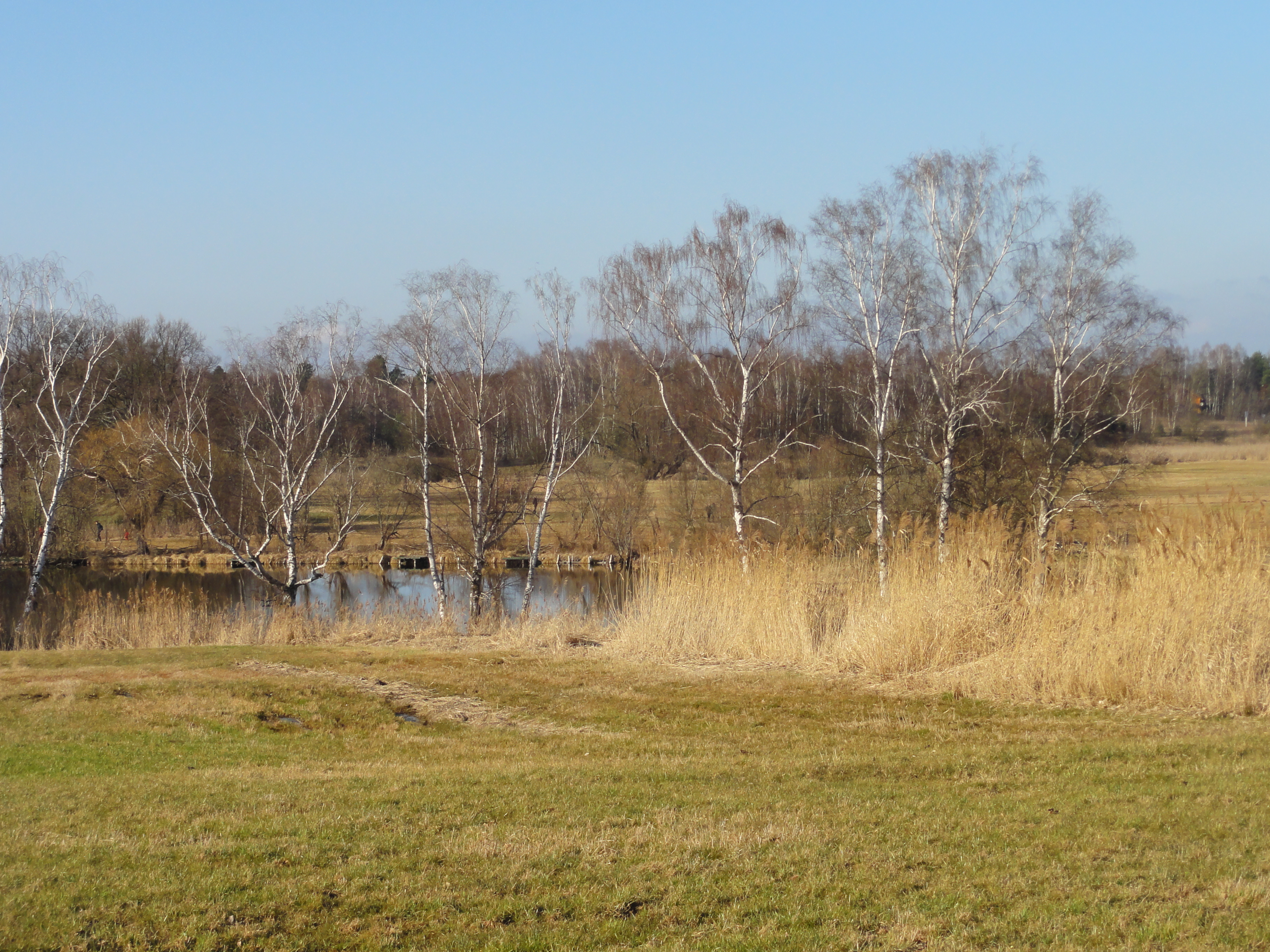
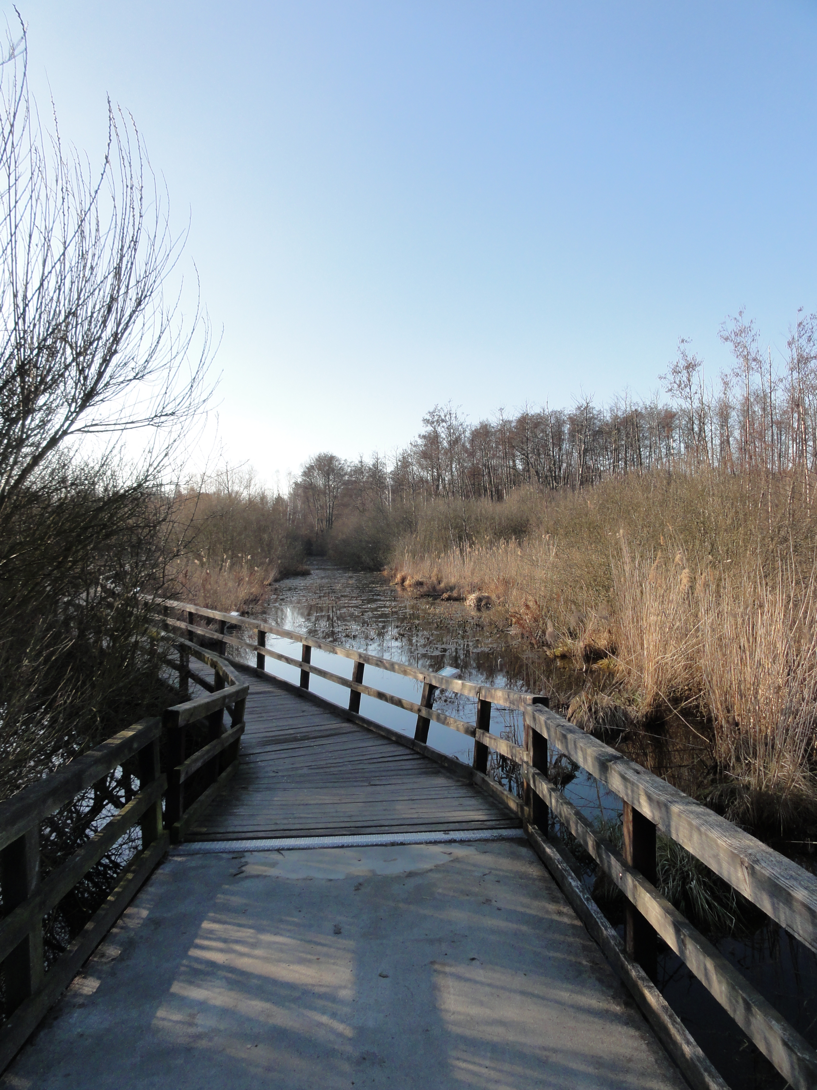
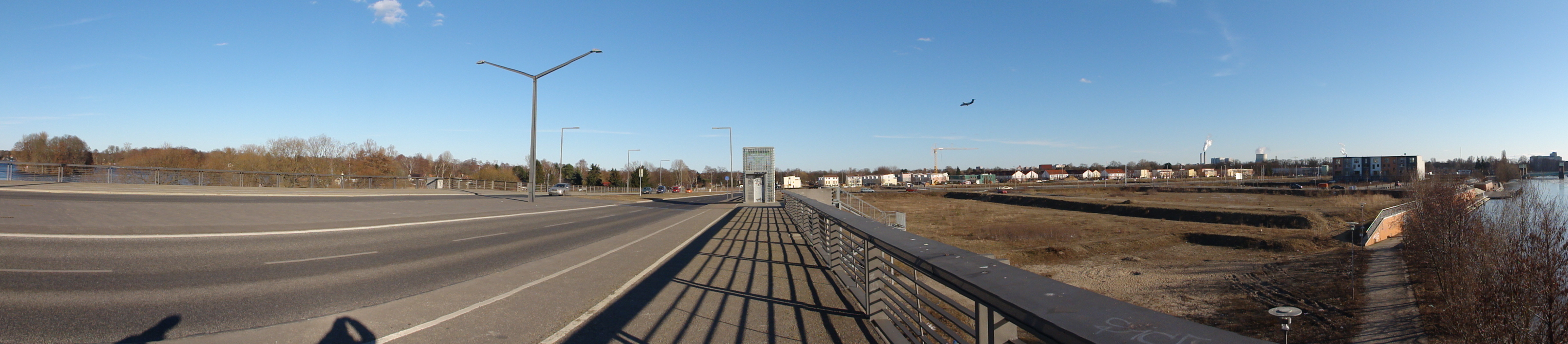
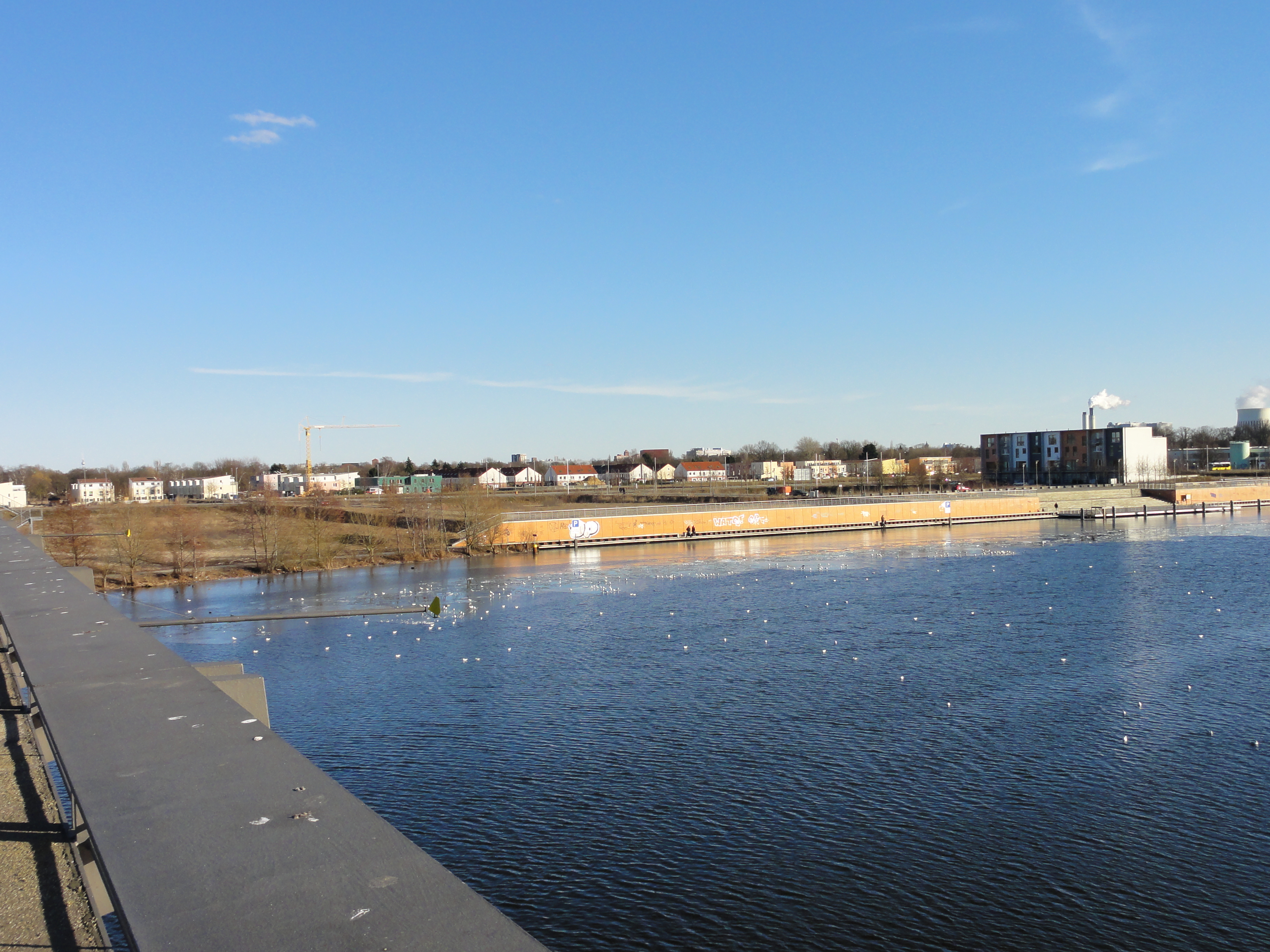
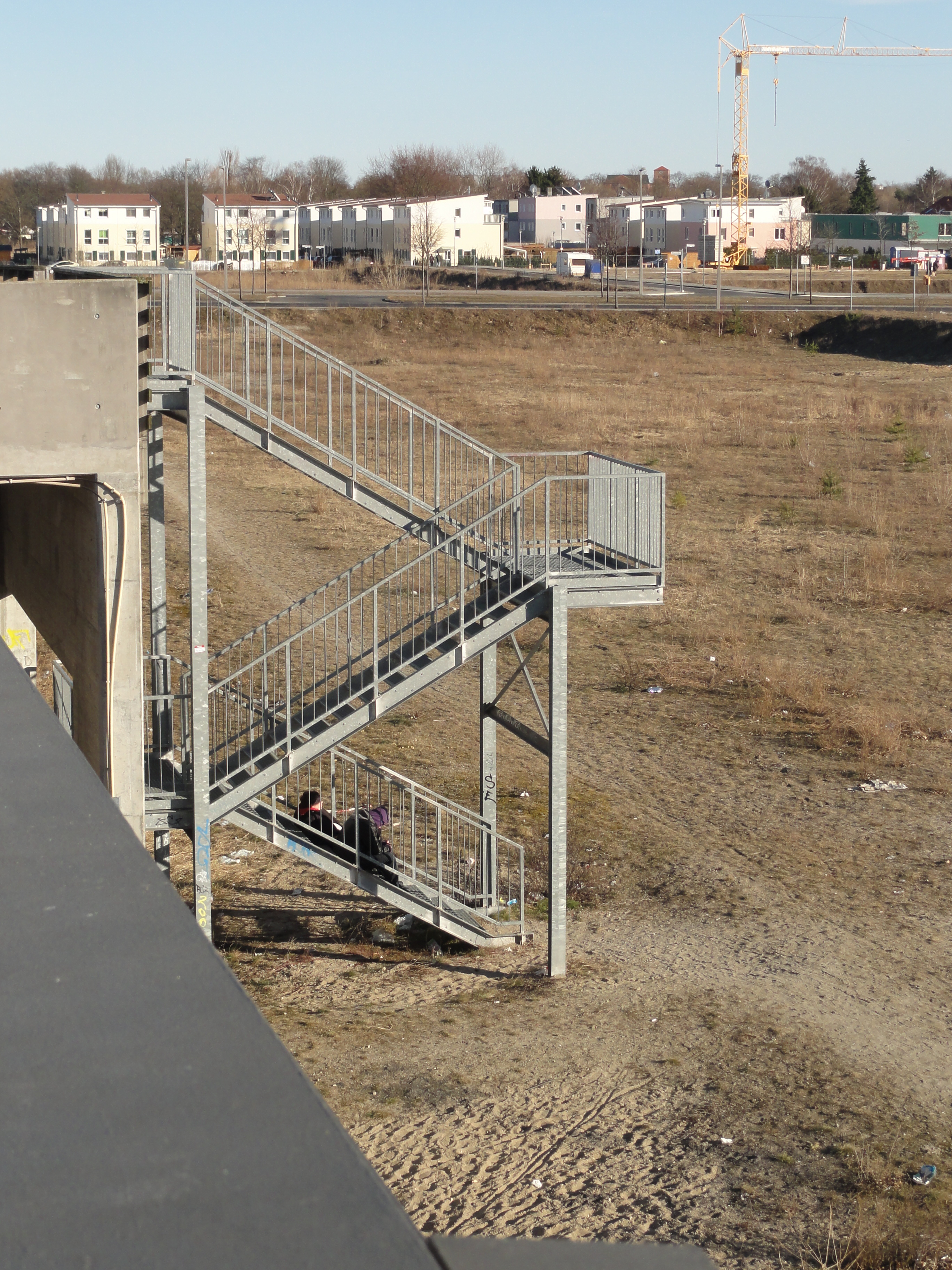
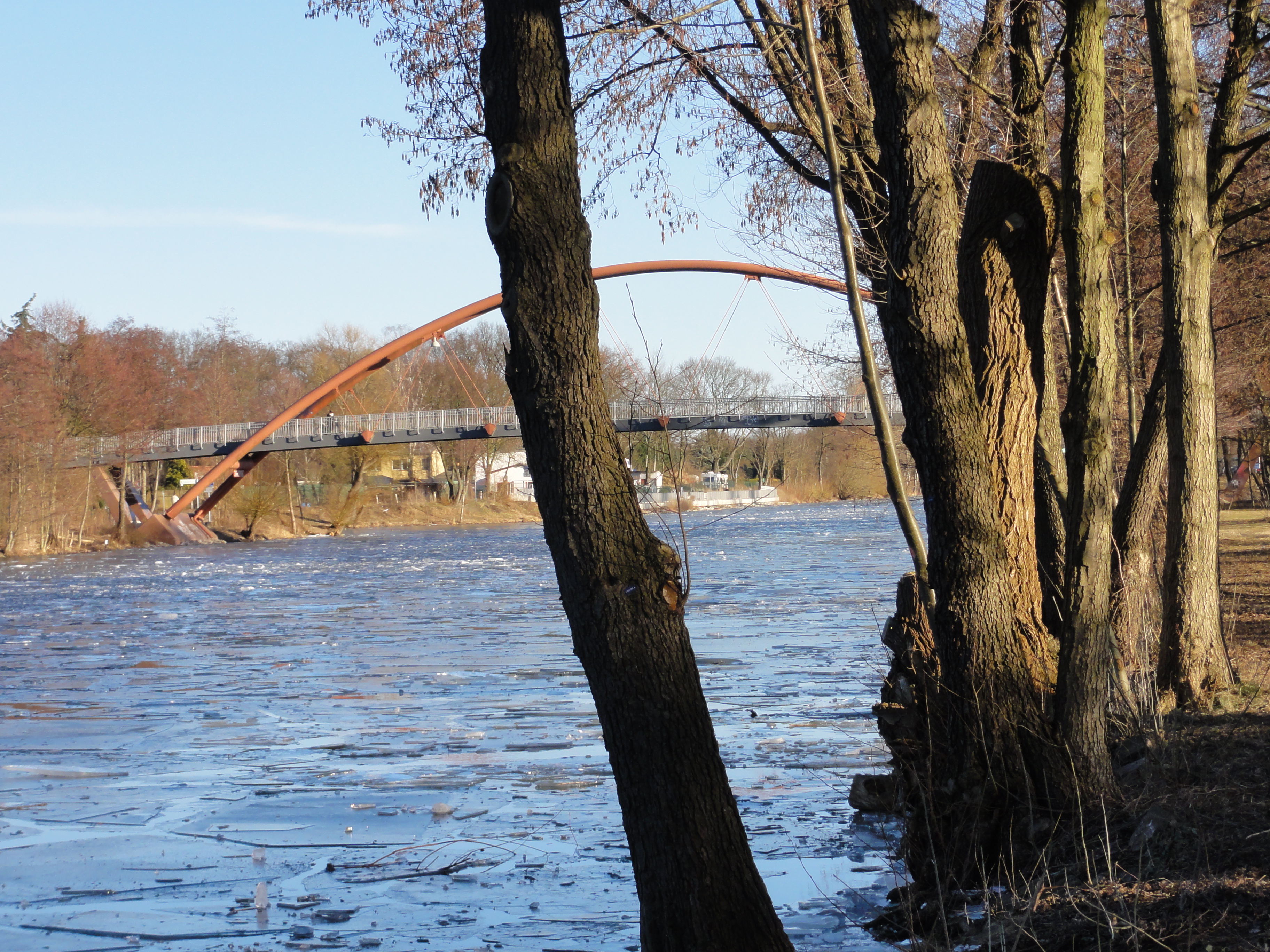
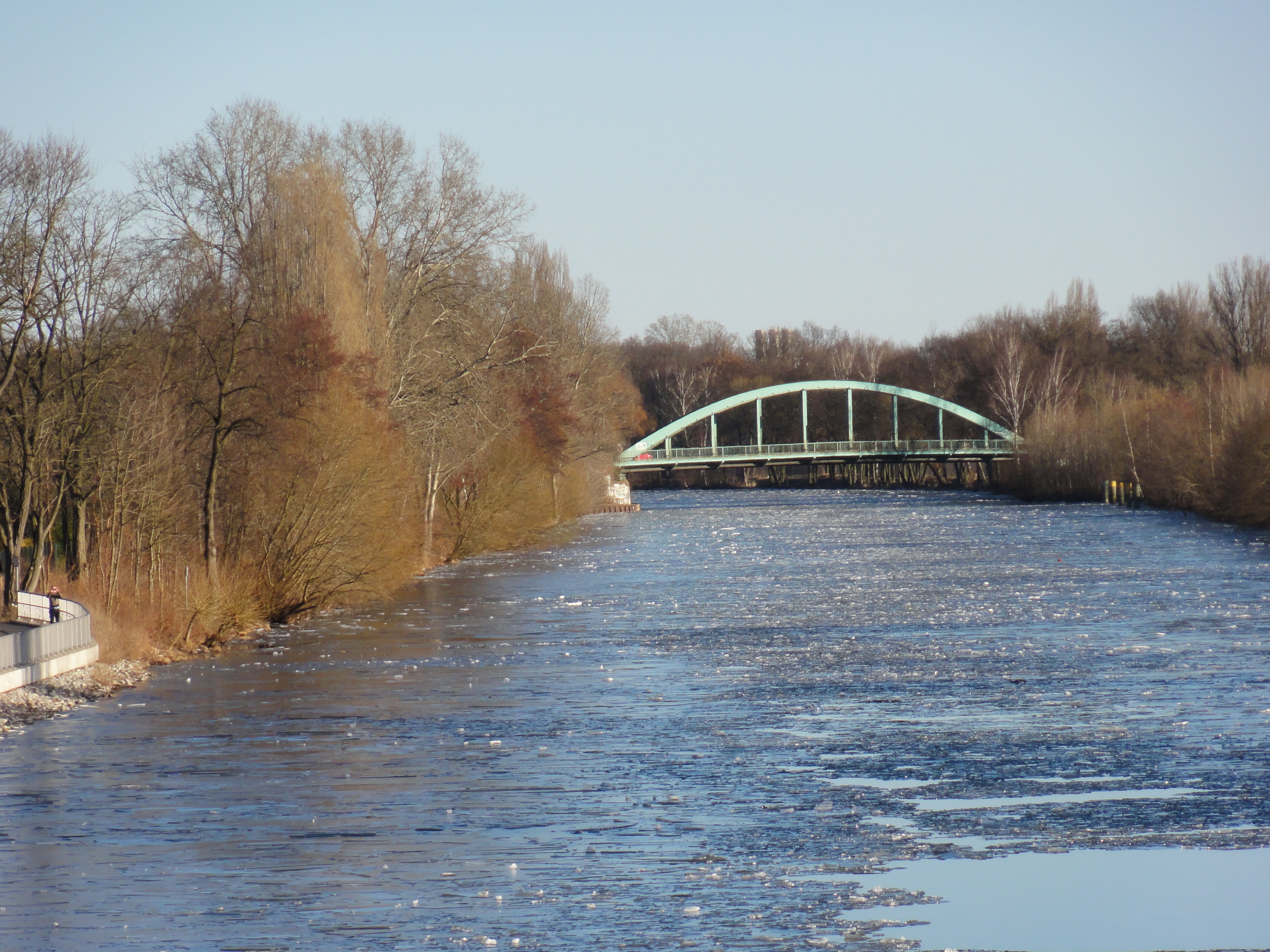
Between Lübars and Hermsdorf they built a DAM through the swamp, intended as a permanent connection. But they achieved the very opposite: The ground was not strong enough, the dam sank and caused a deep trench!
So they constructed a light-weight gangway instead, a few meters further west:
|
|
2011:03:20 16:49:00
---
52 deg 37' 21.34" N, 13 deg 20' 9.47" E
273
°
©
ml
|

|
|
2011:03:20 16:49:37
---
52 deg 37' 21.59" N, 13 deg 20' 8.39" E
277.5
°
©
ml
|
|
|
2011:03:20 16:49:52
---
52 deg 37' 21.37" N, 13 deg 20' 7.12" E
231.75
°
©
ml
|
|
|
2011:03:20 16:50:05
---
52 deg 37' 21.46" N, 13 deg 20' 6.97" E
209.75
°
©
ml
|
|
|
2011:03:20 16:50:18
---
52 deg 37' 21.43" N, 13 deg 20' 7.13" E
13.5
°
©
ml
|
|
|
2011:03:20 16:51:43
---
52 deg 37' 21.52" N, 13 deg 20' 7.08" E
29
°
©
ml
|
|
|
2011:03:20 16:53:06
---
52 deg 37' 23.59" N, 13 deg 20' 2.66" E
6
°
©
ml
|

|
|
2011:03:20 16:54:18
---
52 deg 37' 26.36" N, 13 deg 19' 58.76" E
51
°
©
ml
|
It's a little bit less wet, but also very beautifil!
|
|
2011:03:20 16:58:07
---
52 deg 37' 26.17" N, 13 deg 19' 48.15" E
139.25
°
©
ml
|
|
|
2011:03:20 17:10:30
---
52 deg 37' 19.35" N, 13 deg 19' 20.58" E
138.5
°
©
ml
|
|
|
2011:03:20 16:58:27
---
52 deg 37' 25.78" N, 13 deg 19' 48.38" E
170
°
©
ml
|
|
|
2011:03:20 16:59:31
---
52 deg 37' 25.28" N, 13 deg 19' 48.23" E
81.75
°
©
ml
|
|
|
2011:03:20 16:59:52
---
52 deg 37' 25.28" N, 13 deg 19' 48.23" E
146
°
©
ml
|
|
|
2011:03:20 17:05:41
---
52 deg 37' 20.85" N, 13 deg 19' 32.69" E
158.75
°
©
ml
|
|
|
2011:03:20 17:08:16
---
52 deg 37' 20.84" N, 13 deg 19' 32.91" E
153.25
°
©
ml
|
|
|
2011:03:20 17:08:37
---
52 deg 37' 20.12" N, 13 deg 19' 24.00" E
117.75
°
©
ml
|
|
|
2011:03:20 17:11:01
---
52 deg 37' 19.52" N, 13 deg 19' 20.50" E
135
°
©
ml
|
|
|
2011:03:20 17:14:25
---
52 deg 37' 15.09" N, 13 deg 19' 14.72" E
102.25
°
©
ml
|
|
|
2011:03:20 17:14:34
---
52 deg 37' 15.04" N, 13 deg 19' 14.72" E
79.5
°
©
ml
|
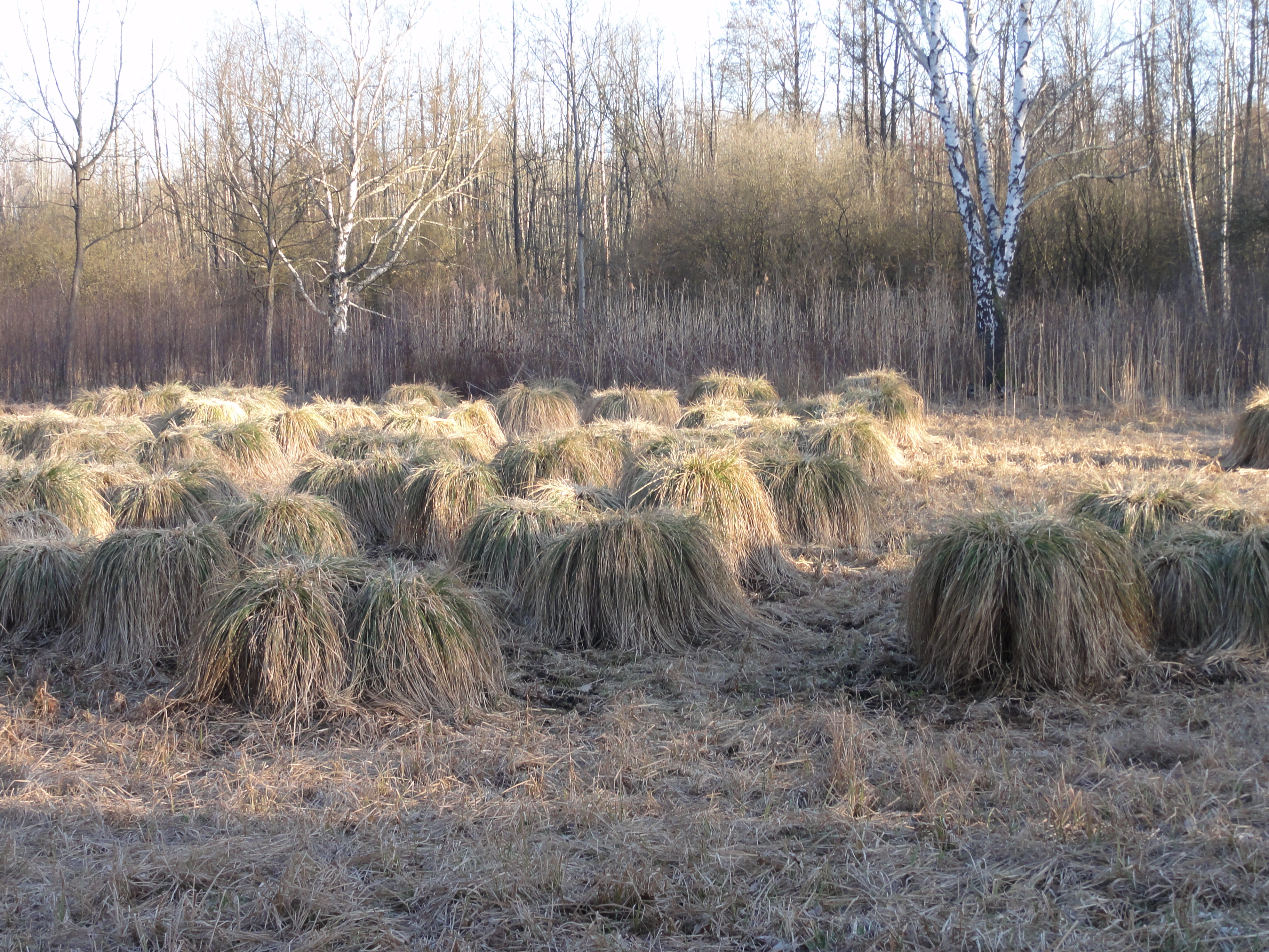
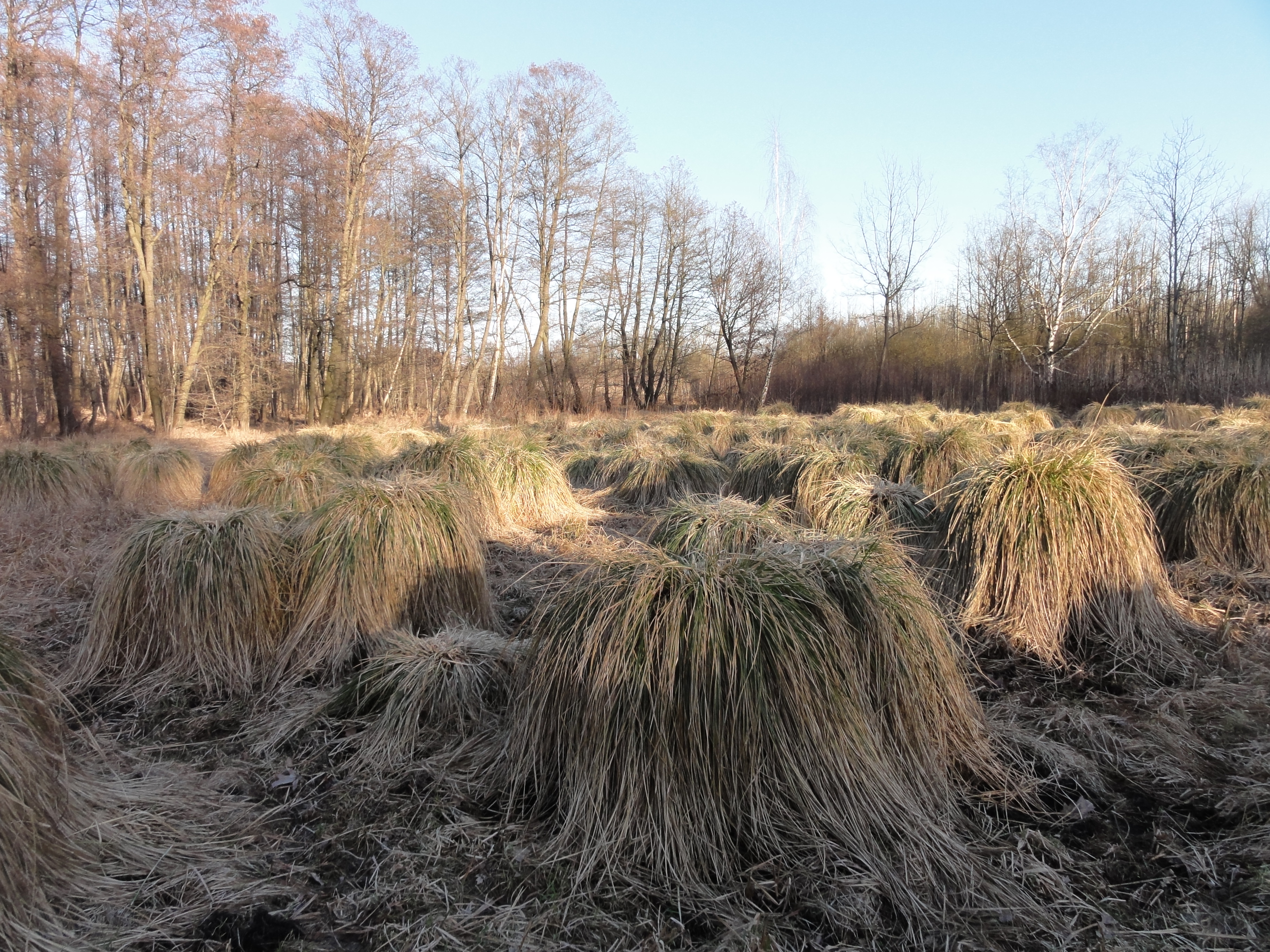
WHAT'S THAT?? We could NOT identify! Looks like cut-off giants' skulls,
or hay-balls decided to grow again, or an ugly mutation from
outer space, or ...???
If anyone knows, please tell!
|
|
2011:03:20 17:01:27
---
52 deg 37' 23.74" N, 13 deg 19' 47.36" E
147.75
°
©
ml
|
|
|
2011:03:20 17:01:59
---
52 deg 37' 20.66" N, 13 deg 19' 45.50" E
107.25
°
©
ml
|
|
|
2011:03:20 17:19:48
---
52 deg 37' 5.74" N, 13 deg 19' 11.15" E
126
°
©
ml
|
|
|
2011:03:20 17:18:36
---
52 deg 37' 6.90" N, 13 deg 19' 12.01" E
166.75
°
©
ml
|
|
|
2011:03:20 17:18:57
---
52 deg 37' 6.56" N, 13 deg 19' 11.75" E
103
°
©
ml
|
|
|
2011:03:20 17:19:30
---
52 deg 37' 6.08" N, 13 deg 19' 11.22" E
206.25
°
©
ml
|
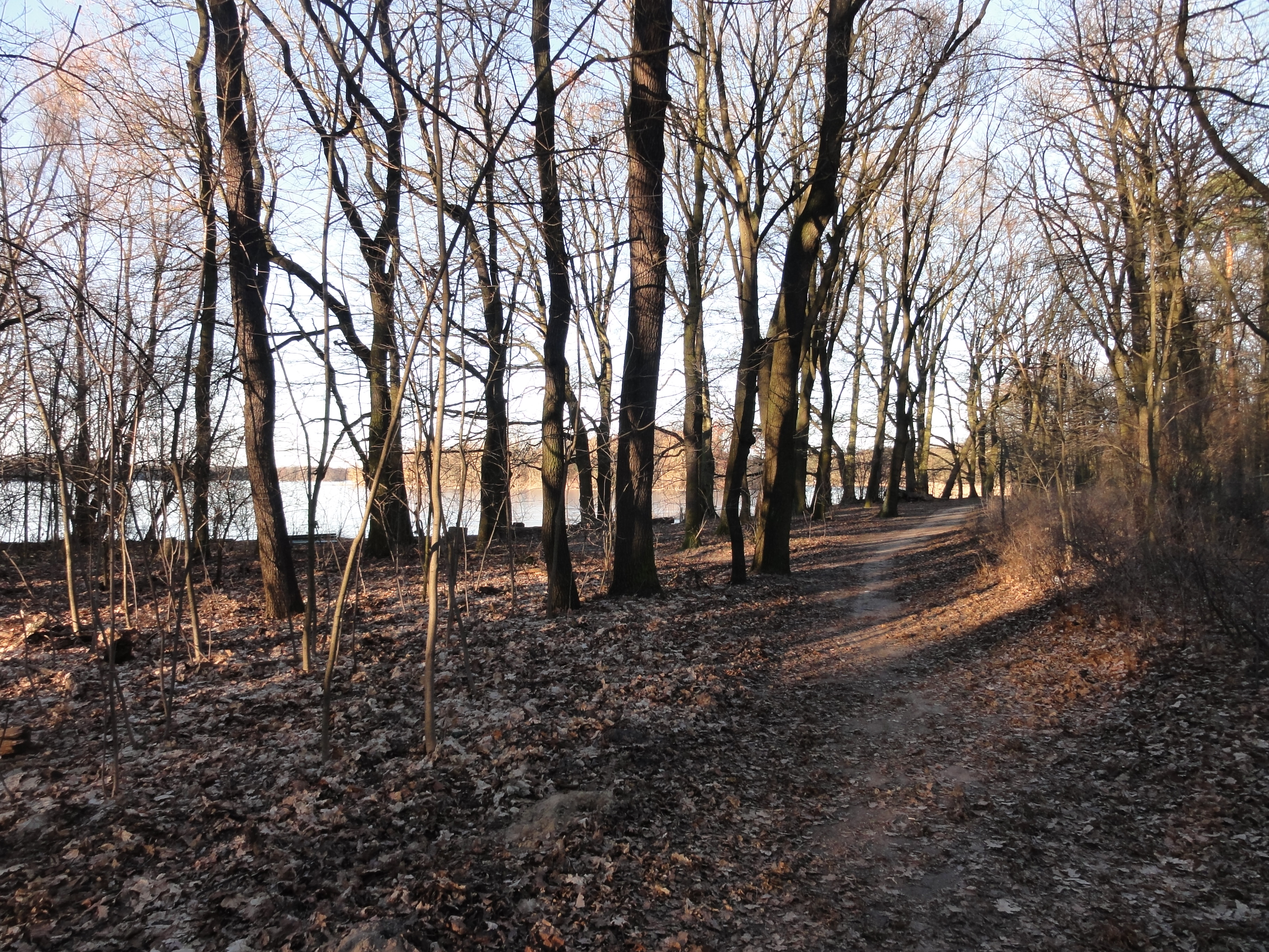
Once upon a time, Hermsdorf was a medieval village, too. But while Lübars was off-road, Hermsdorf has always been cut by an important inter-state road! So you only see relicts of the past if you look out for them carefully:
|
|
2011:03:20 17:30:06
---
52 deg 36' 55.36" N, 13 deg 19' 1.65" E
31.5
°
©
ml
|
|
|
2011:03:20 17:30:40
---
52 deg 36' 55.31" N, 13 deg 19' 1.46" E
234.5
°
©
ml
|
|
|
2011:03:20 17:32:21
---
52 deg 36' 55.07" N, 13 deg 19' 1.48" E
71.25
°
©
ml
|
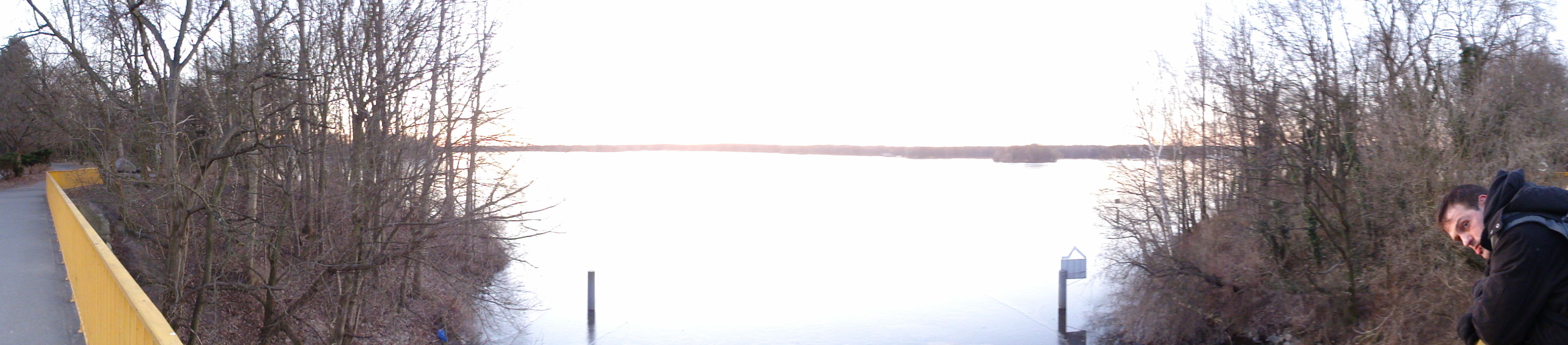
From here we took the bus back to civilisation (i.e. to U8 and U9!)
We went with the S-Bahn to Spandau and left the station not via the main hall, but went directly to the waterside:
|
|
2011:03:06 13:52:30
---
52 deg 30' 8.24" N, 13 deg 23' 3.47" E
116
°
©
ml
|

|
|
2011:03:06 13:52:39
---
52 deg 30' 8.24" N, 13 deg 23' 3.47" E
225
°
©
ml
|
|
|
2011:03:06 13:52:48
---
52 deg 30' 8.24" N, 13 deg 23' 3.47" E
217.75
°
©
ml
|
|
|
2011:03:06 13:53:33
---
52 deg 30' 8.24" N, 13 deg 23' 3.47" E
288.5
°
©
ml
|
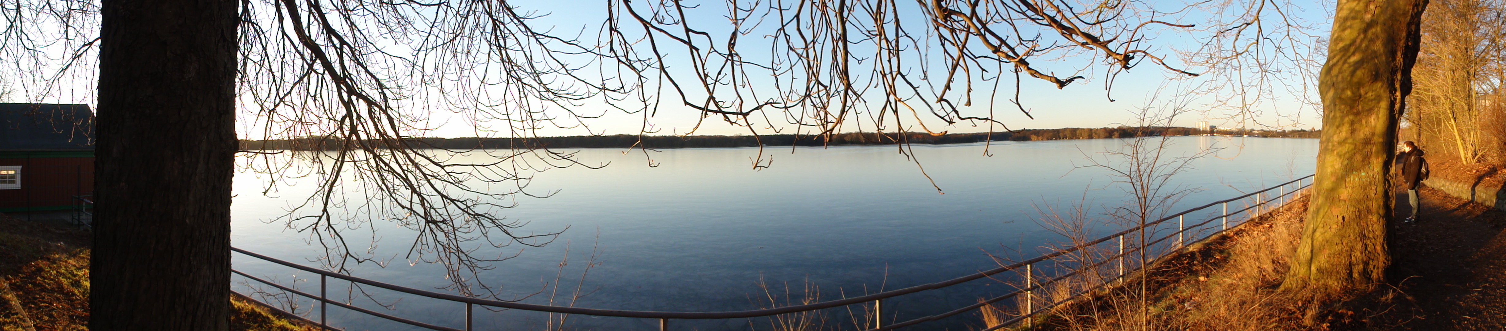
Then we turn left, and for the rest of the tour follow the HAVEL northward, but in varying distance.
|
|
2011:03:06 13:56:38
---
52 deg 30' 8.24" N, 13 deg 23' 3.47" E
147.5
°
©
ml
|
|
|
2011:03:06 13:56:03
---
52 deg 30' 8.24" N, 13 deg 23' 3.47" E
291.25
°
©
ml
|
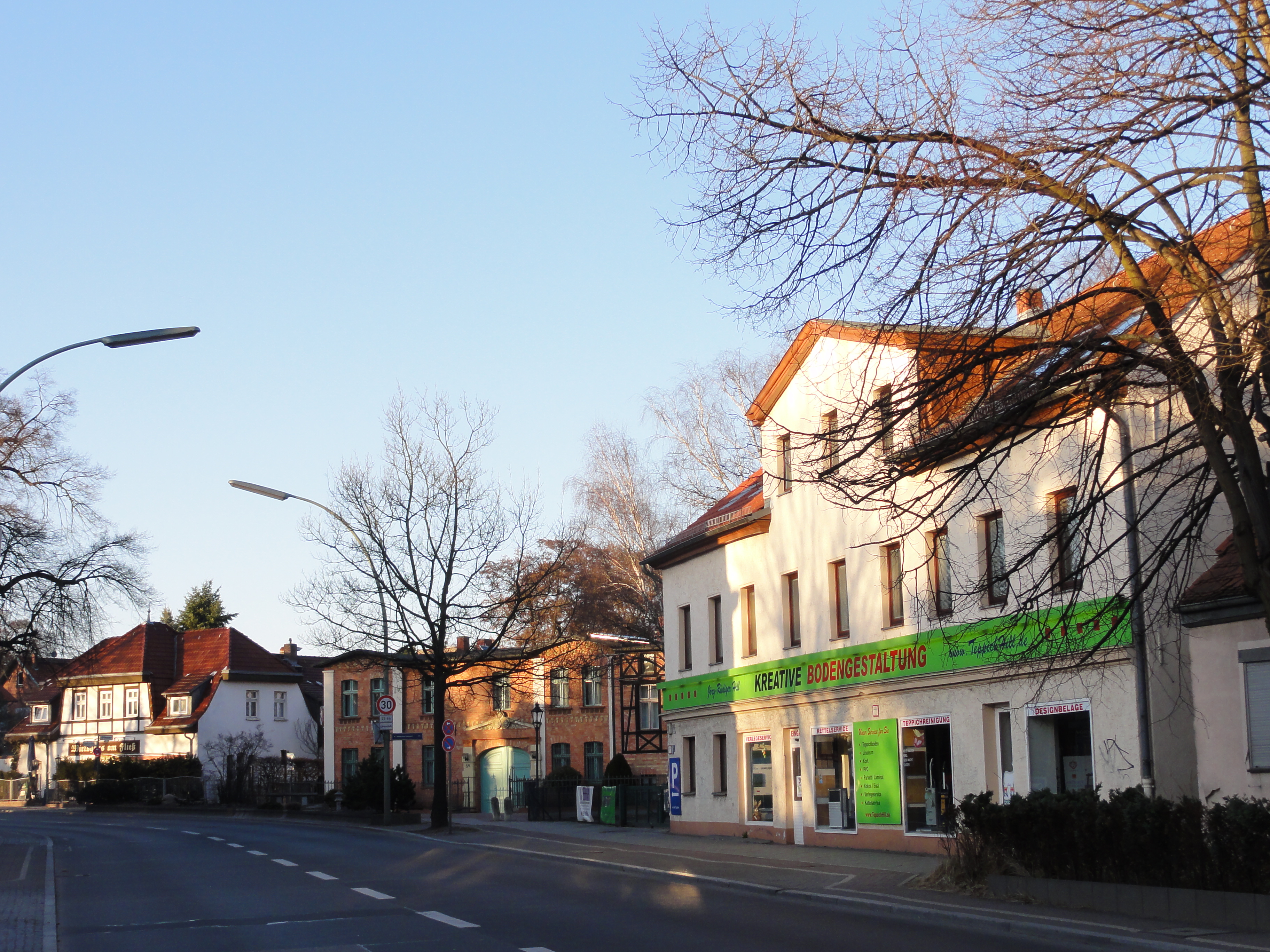
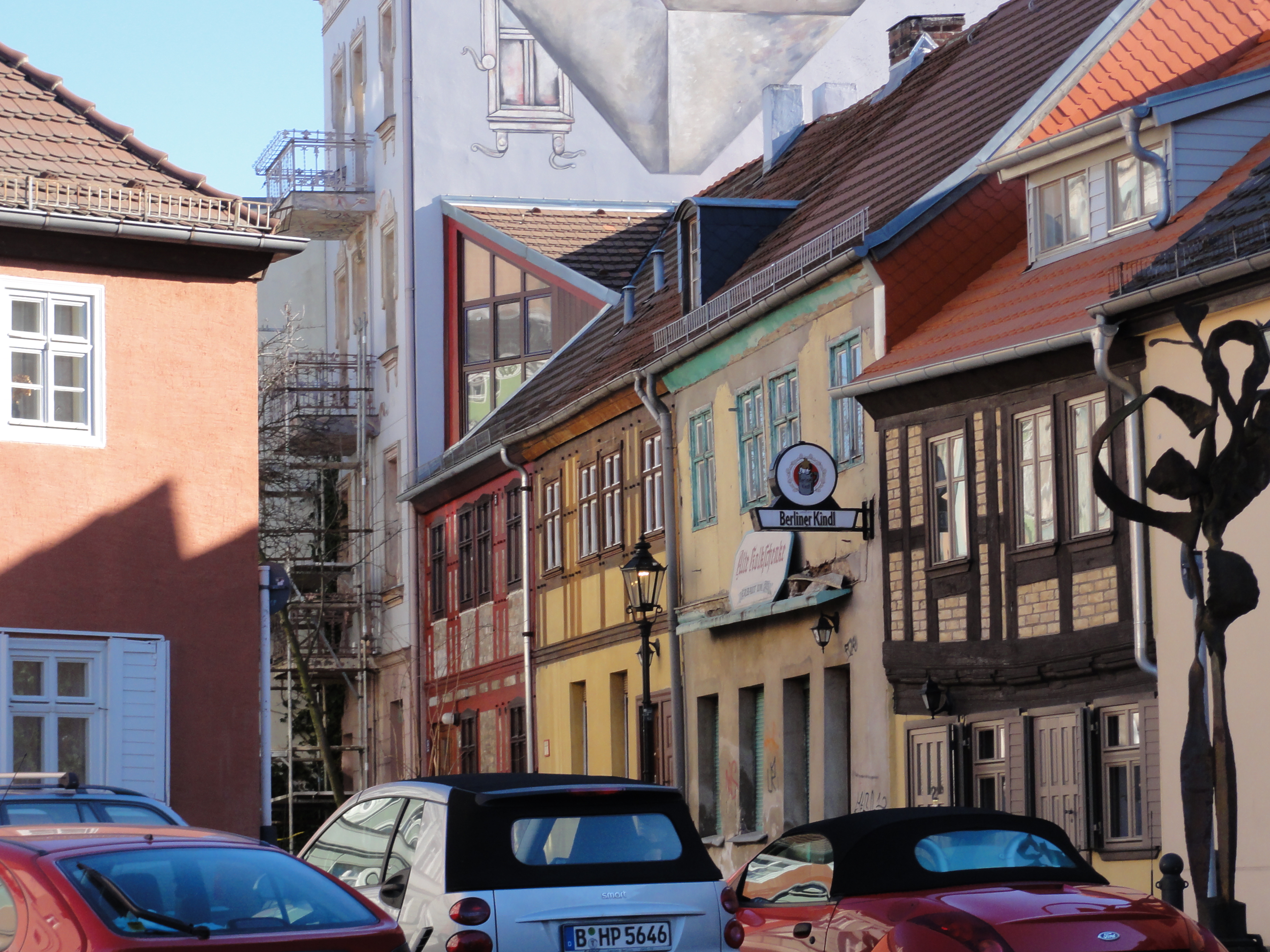
The ALTSTADT of Spandau is most typically retained here at its north end:
|
|
2011:03:06 14:04:13
---
52 deg 30' 8.24" N, 13 deg 23' 3.47" E
237.5
°
©
ml
|
|
|
2011:03:06 14:27:35
---
52 deg 32' 23.94" N, 13 deg 12' 45.14" E
179
°
©
ml
|
|
|
2011:03:06 14:29:06
---
52 deg 32' 23.48" N, 13 deg 12' 25.90" E
160.5
°
©
ml
|
|
|
2011:03:06 14:05:19
---
52 deg 32' 15.39" N, 13 deg 12' 30.76" E
259.5
°
©
ml
|
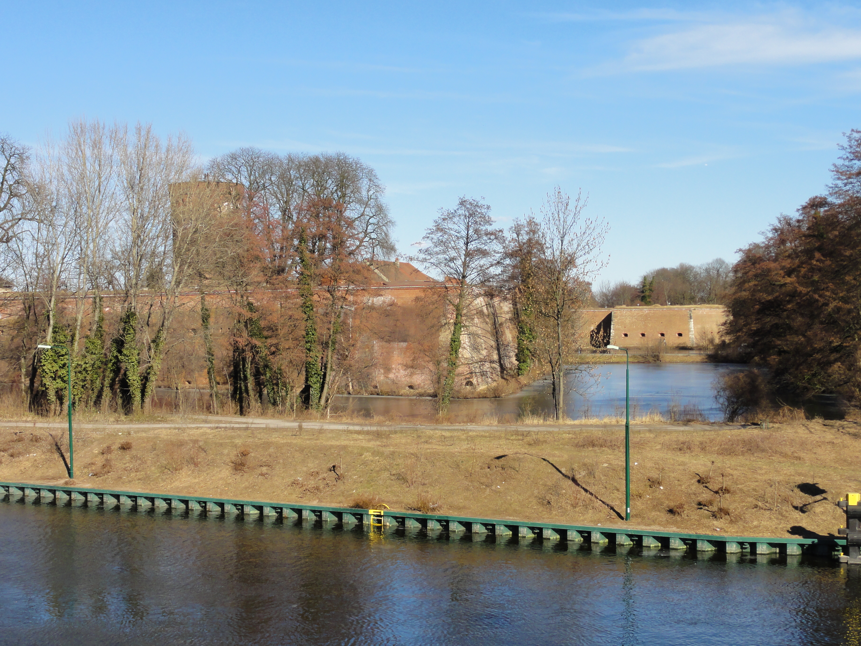
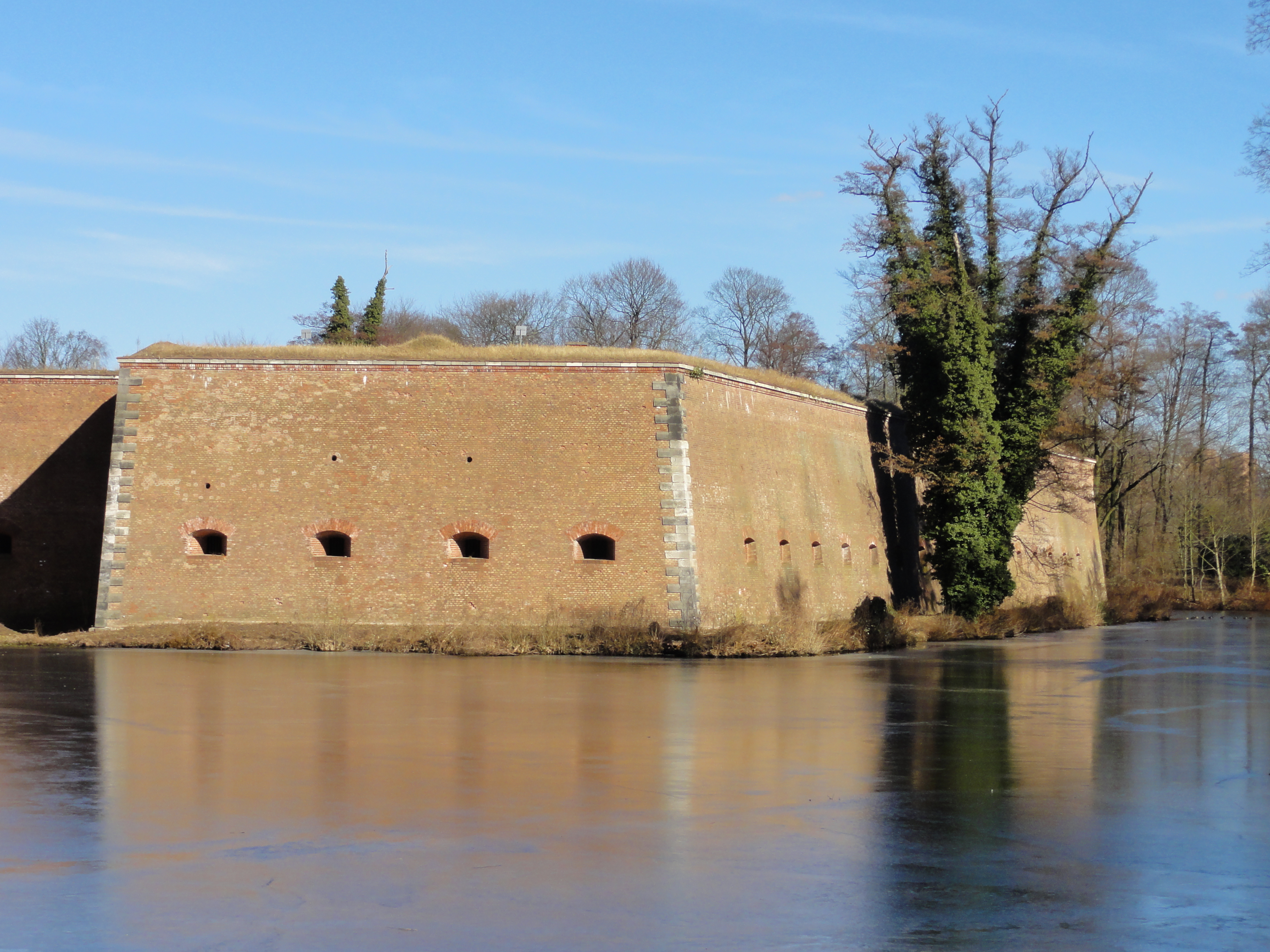
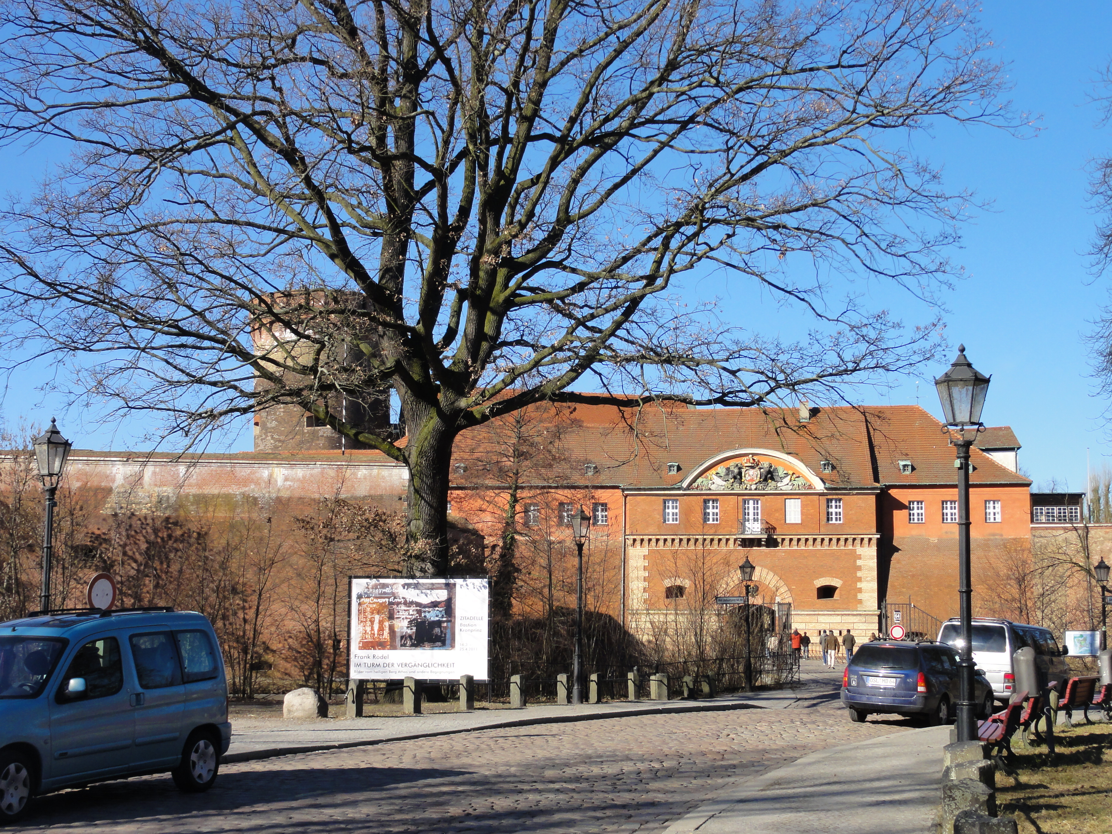
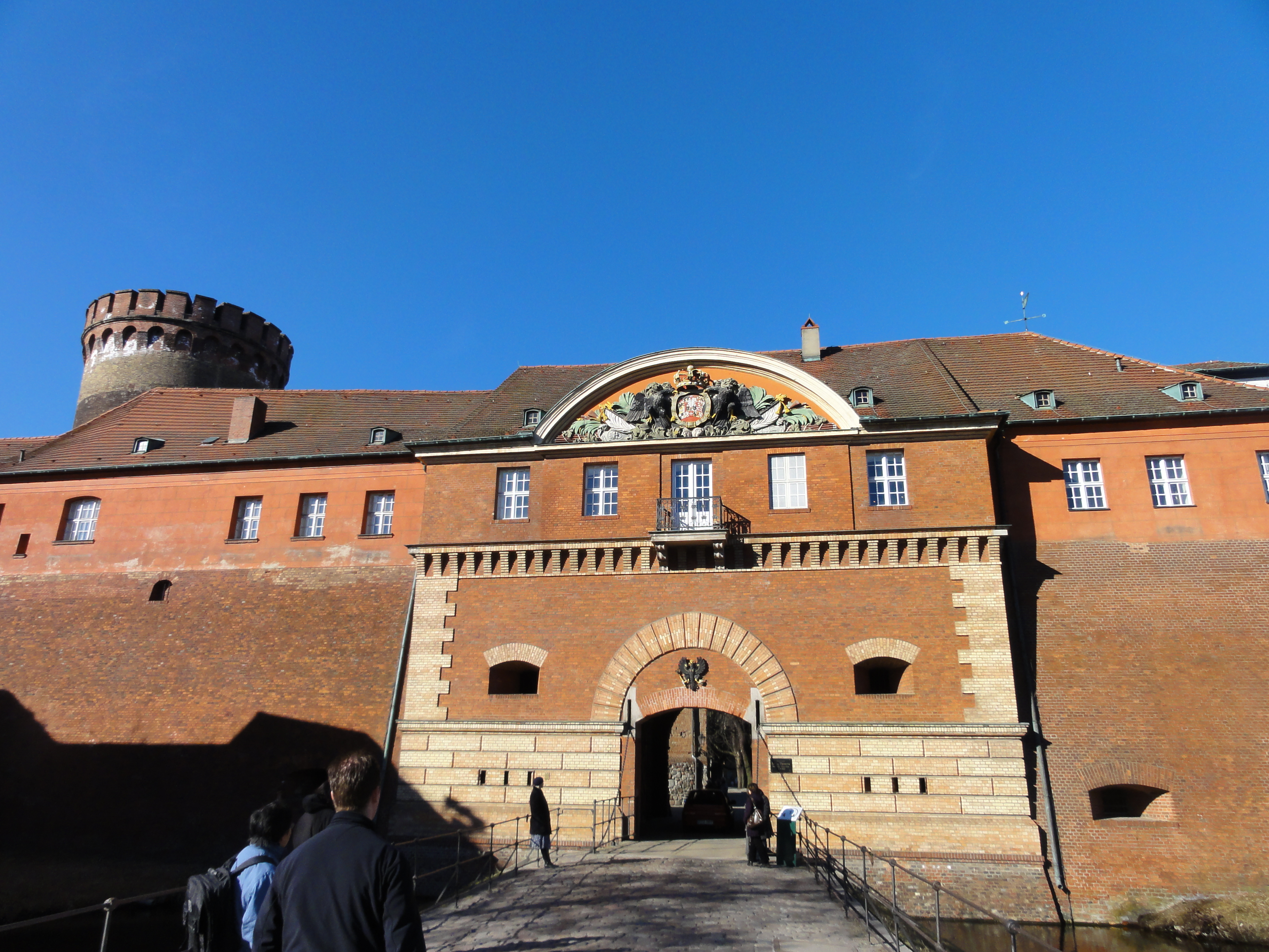
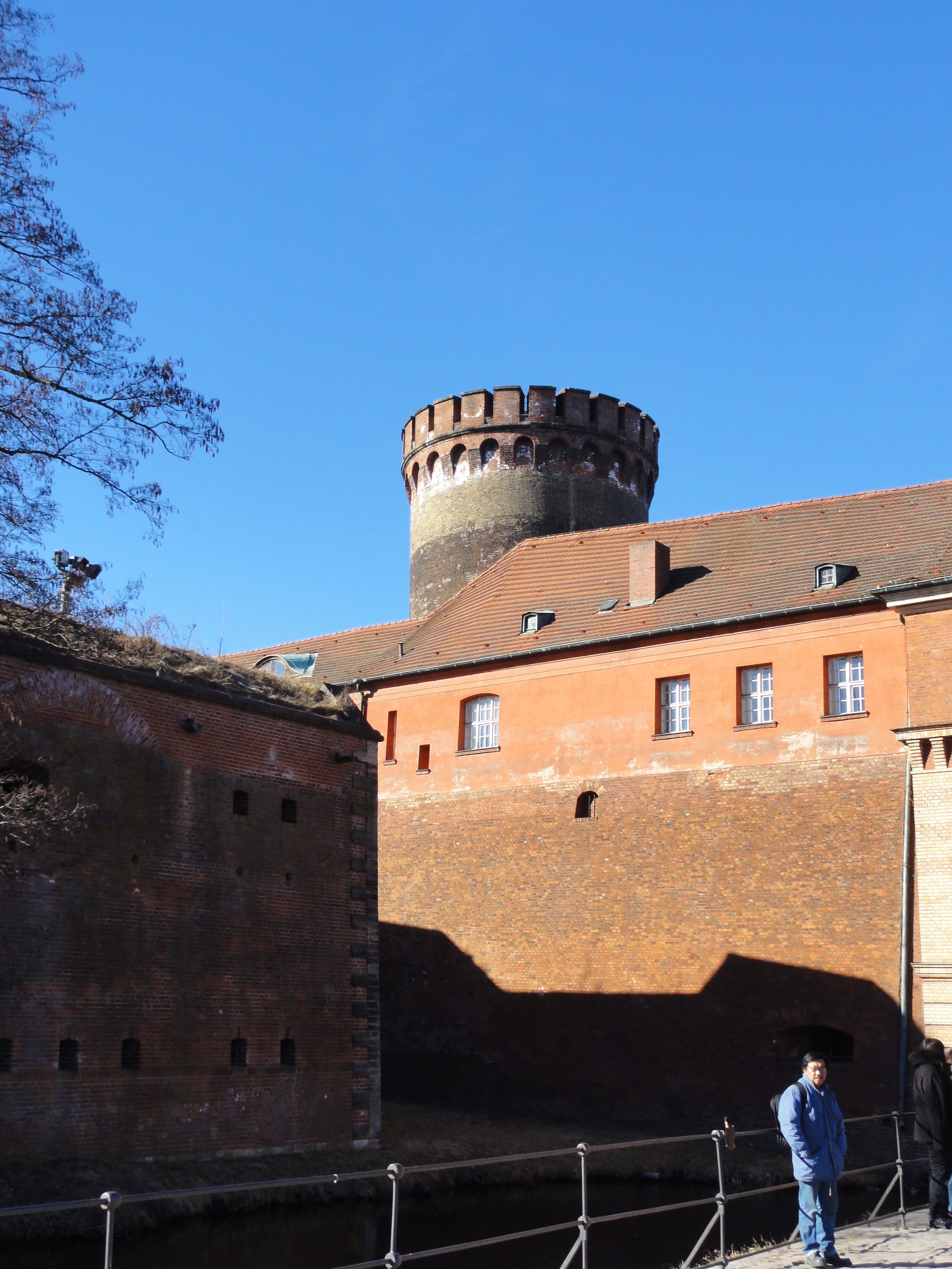
The ZITADELLE of Spandau is also worth visiting, but its a tour on its own, so we just admired the outer view: end:
|
|
2011:03:06 14:08:16
---
52 deg 32' 19.07" N, 13 deg 12' 32.92" E
61
°
©
ml
|
|
|
2011:03:06 14:15:01
---
52 deg 32' 23.03" N, 13 deg 12' 45.26" E
54.25
°
©
ml
|
|
|
2011:03:06 14:13:50
---
52 deg 32' 22.04" N, 13 deg 12' 45.41" E
196.25
°
©
ml
|
|
|
2011:03:06 14:15:42
---
52 deg 32' 23.74" N, 13 deg 12' 45.17" E
307.75
°
©
ml
|
|
|
2011:03:06 14:15:19
---
52 deg 32' 23.64" N, 13 deg 12' 45.36" E
276.5
°
©
ml
|
|
|
2011:03:06 14:35:32
---
52 deg 32' 30.55" N, 13 deg 12' 28.56" E
85.25
°
©
ml
|
|
|
2011:03:06 14:39:19
---
52 deg 32' 36.53" N, 13 deg 12' 29.34" E
145.5
°
©
ml
|
|
|
2011:03:06 14:39:43
---
52 deg 32' 35.34" N, 13 deg 12' 30.12" E
118.25
°
©
ml
|
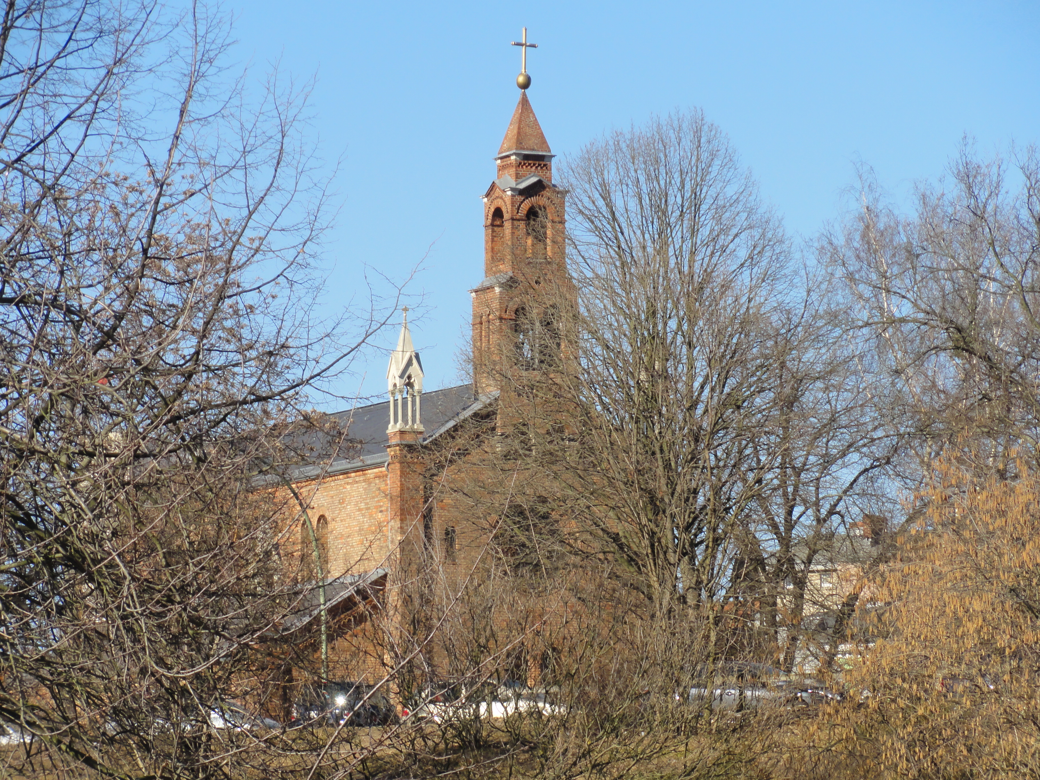
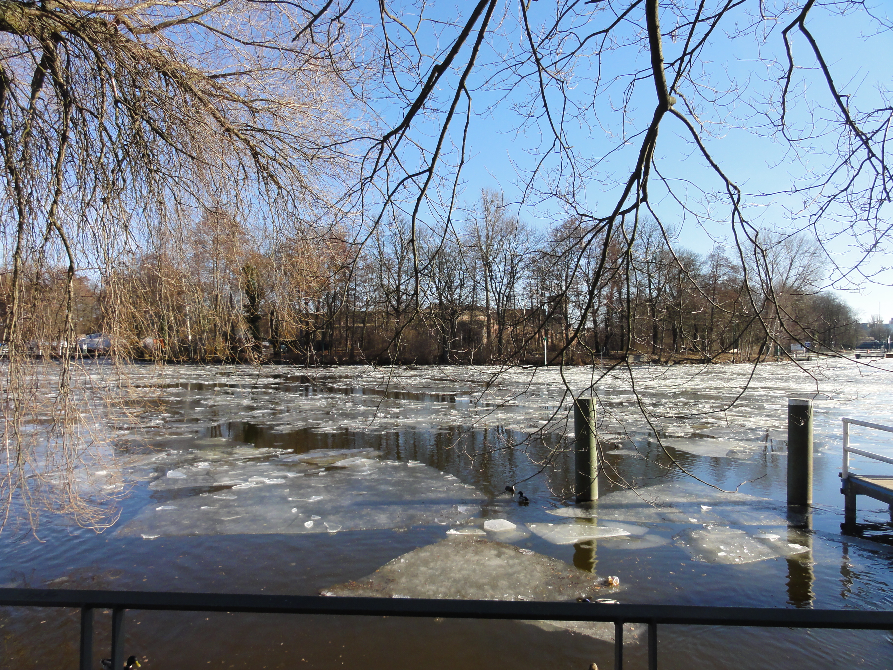
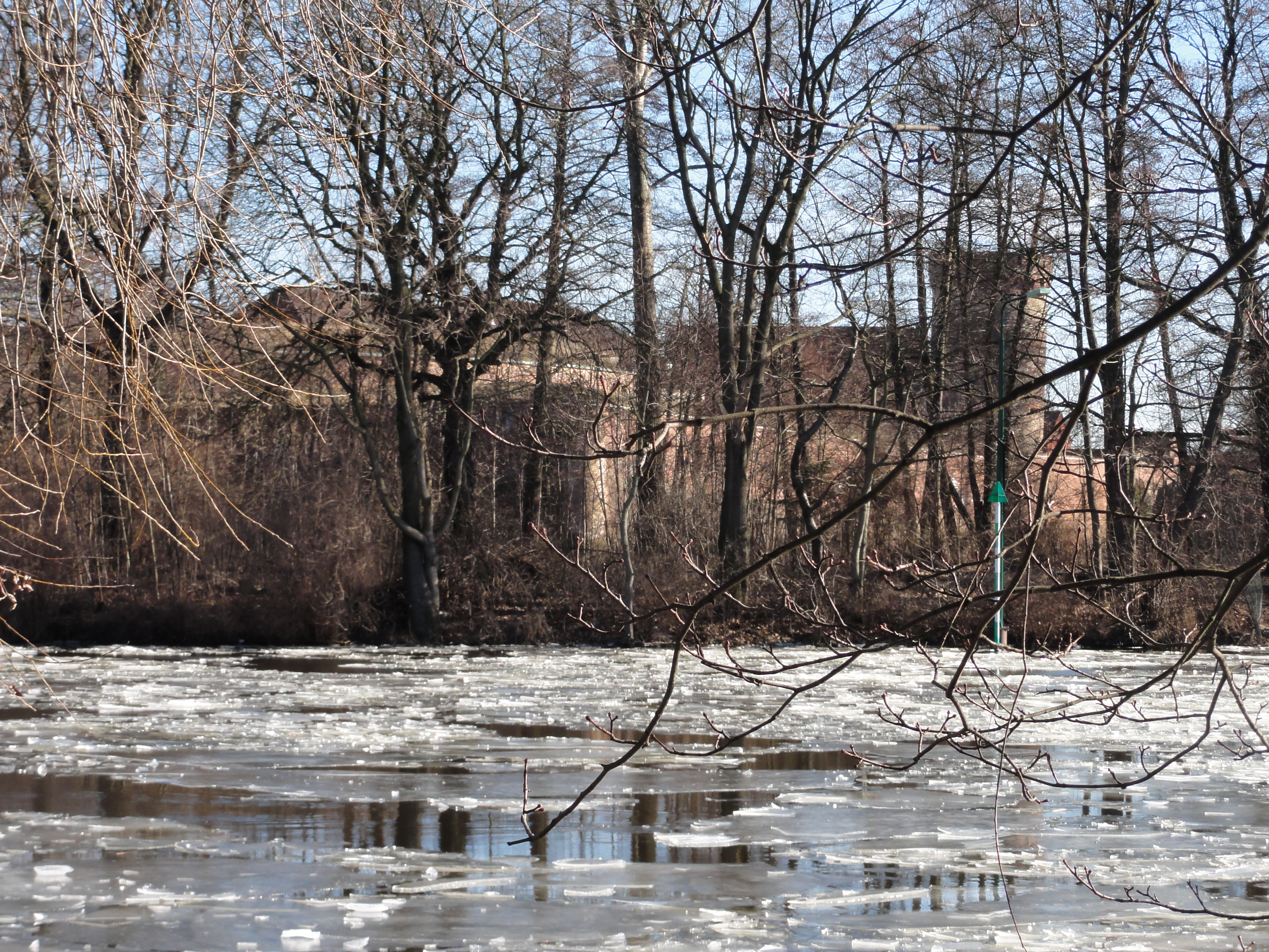
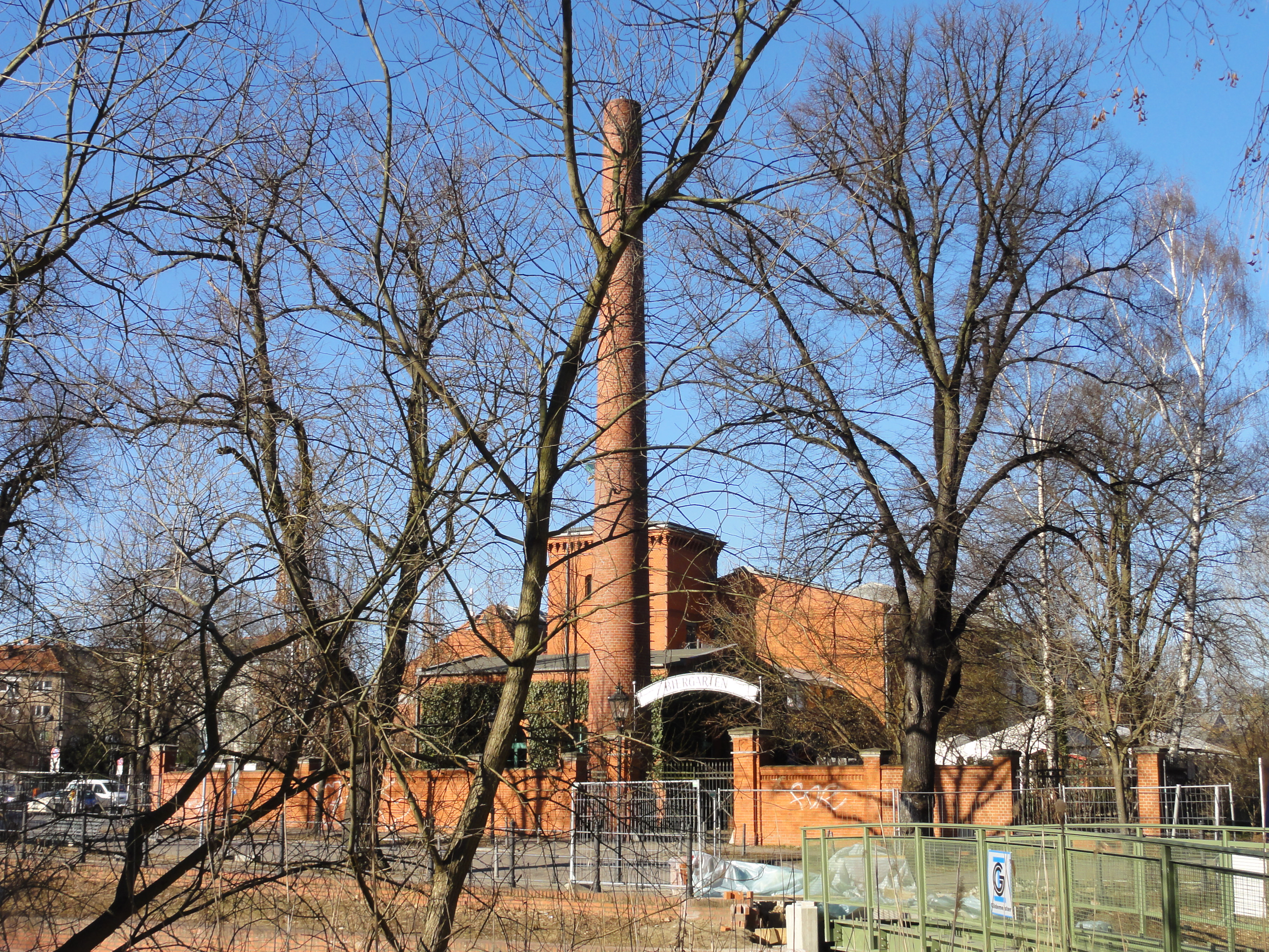
Berlin is an aggregation of many VILLAGES. Each of them has its own BREWERY. We can pass through its garden, always following the river.
|
|
2011:03:06 14:28:17
---
52 deg 32' 23.60" N, 13 deg 12' 25.47" E
318.75
°
©
ml
|
|
|
2011:03:06 14:34:16
---
52 deg 32' 28.96" N, 13 deg 12' 27.05" E
21.75
°
©
ml
|

|
|
2011:03:06 14:35:20
---
52 deg 32' 30.49" N, 13 deg 12' 28.51" E
36.25
°
©
ml
|
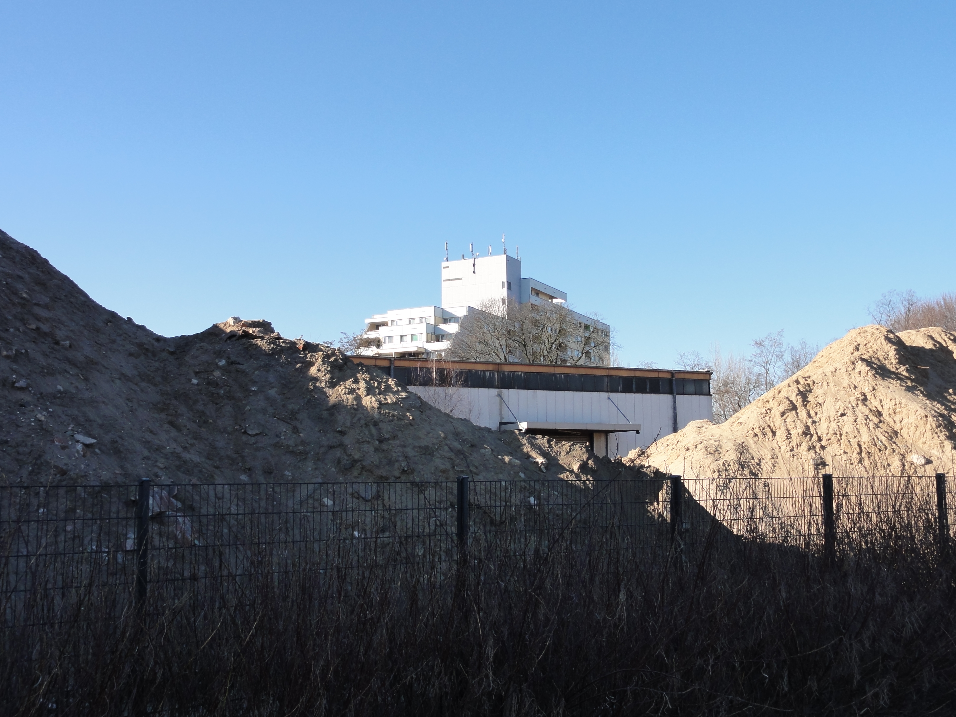
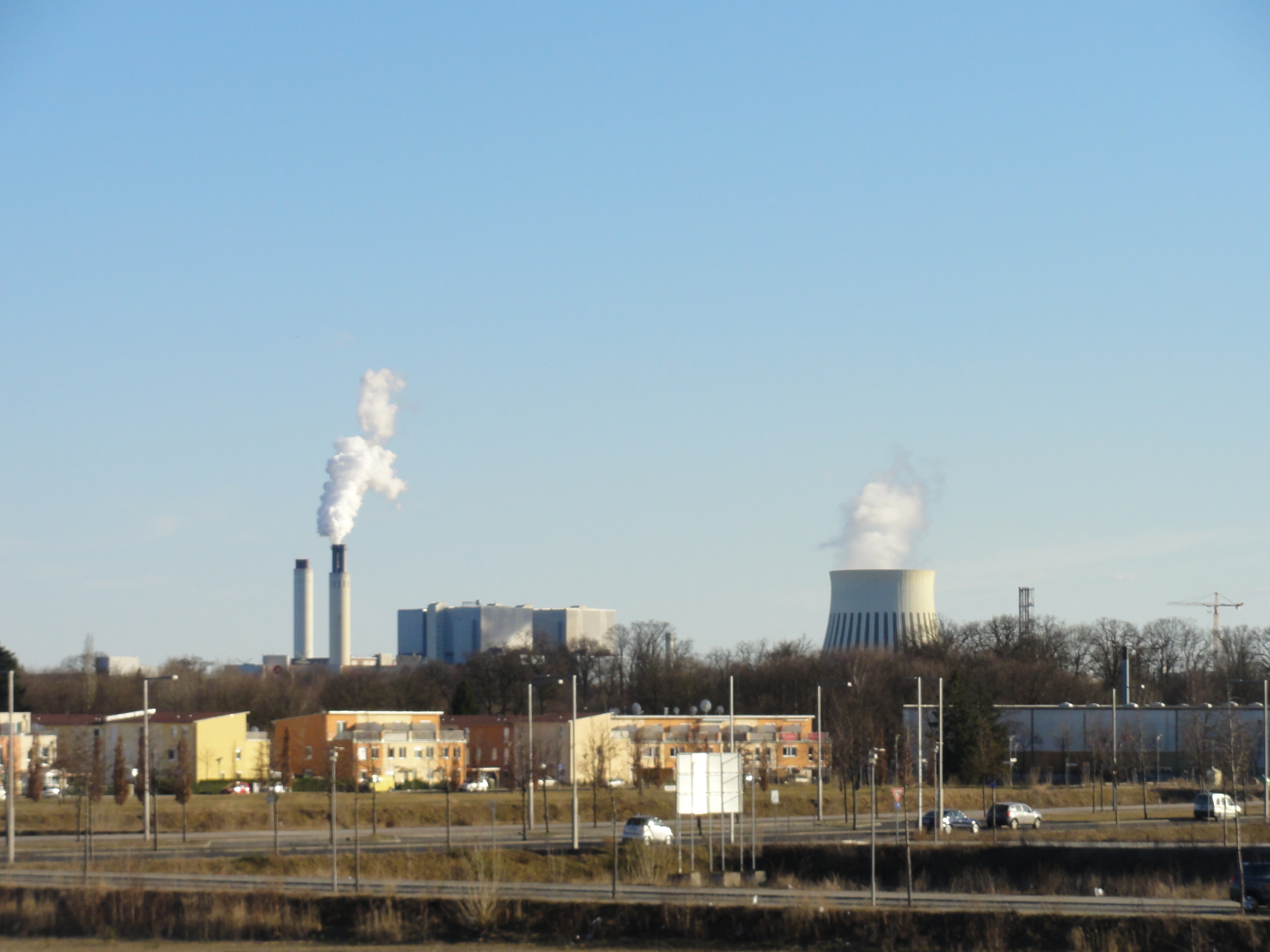
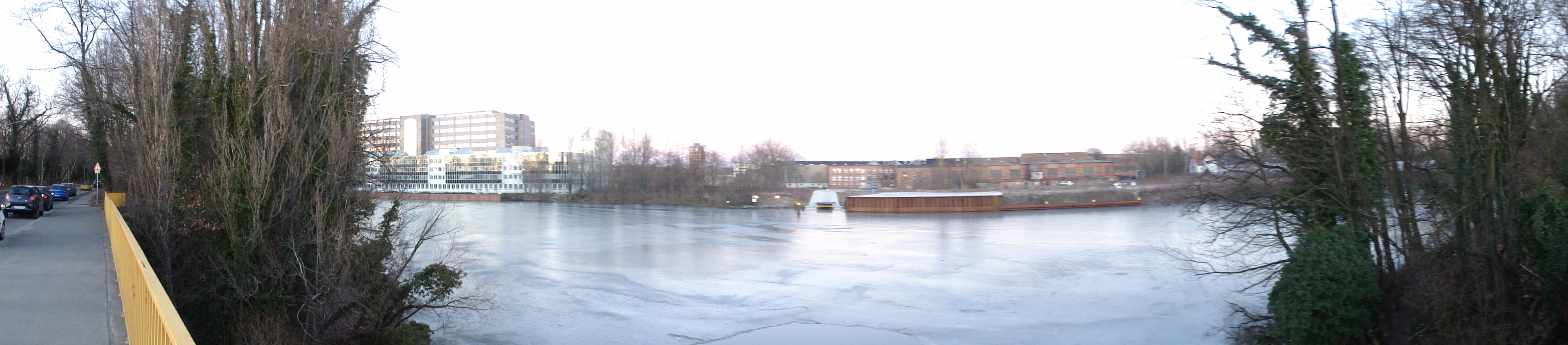
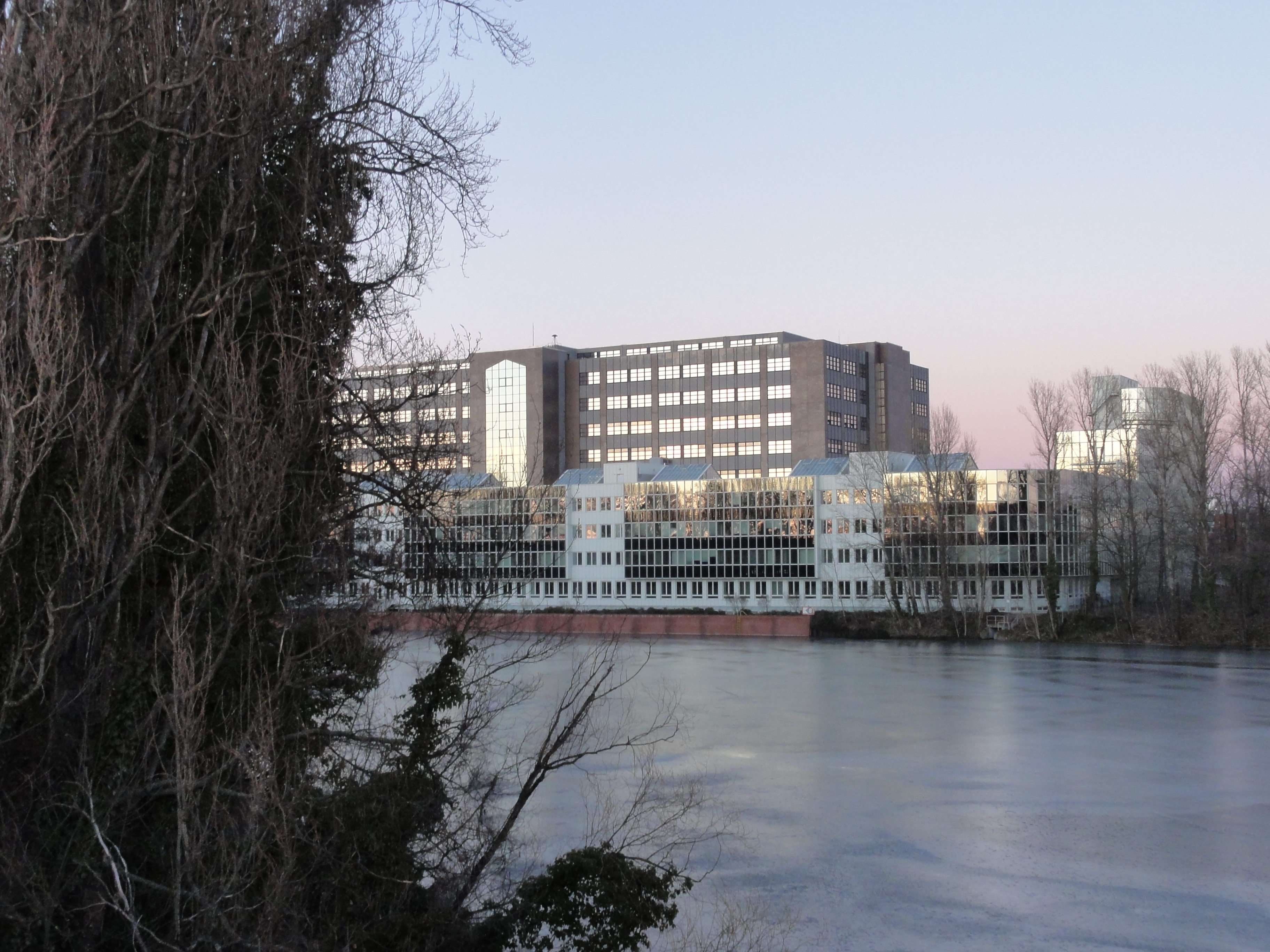
Far away, the only Berlin Nuclear Power Plant, --- no, sorry, it's only the garbage heating in Ruhleben !
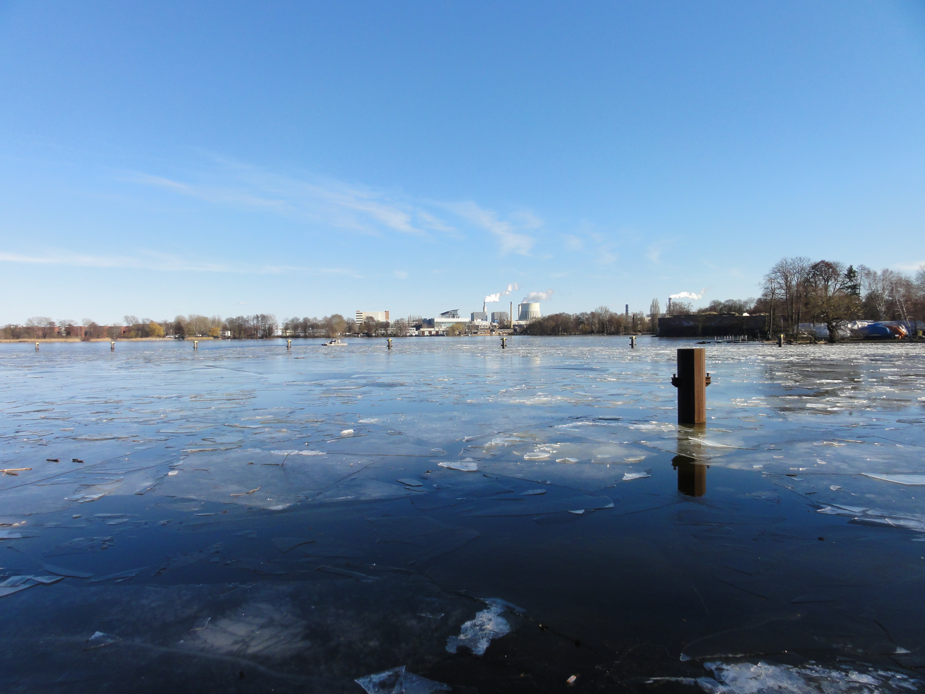
|
|
2011:03:06 14:44:23
---
52 deg 32' 41.83" N, 13 deg 12' 37.66" E
120.75
°
©
ml
|
|
|
2011:03:06 14:44:43
---
52 deg 32' 40.58" N, 13 deg 12' 38.64" E
118
°
©
ml
|
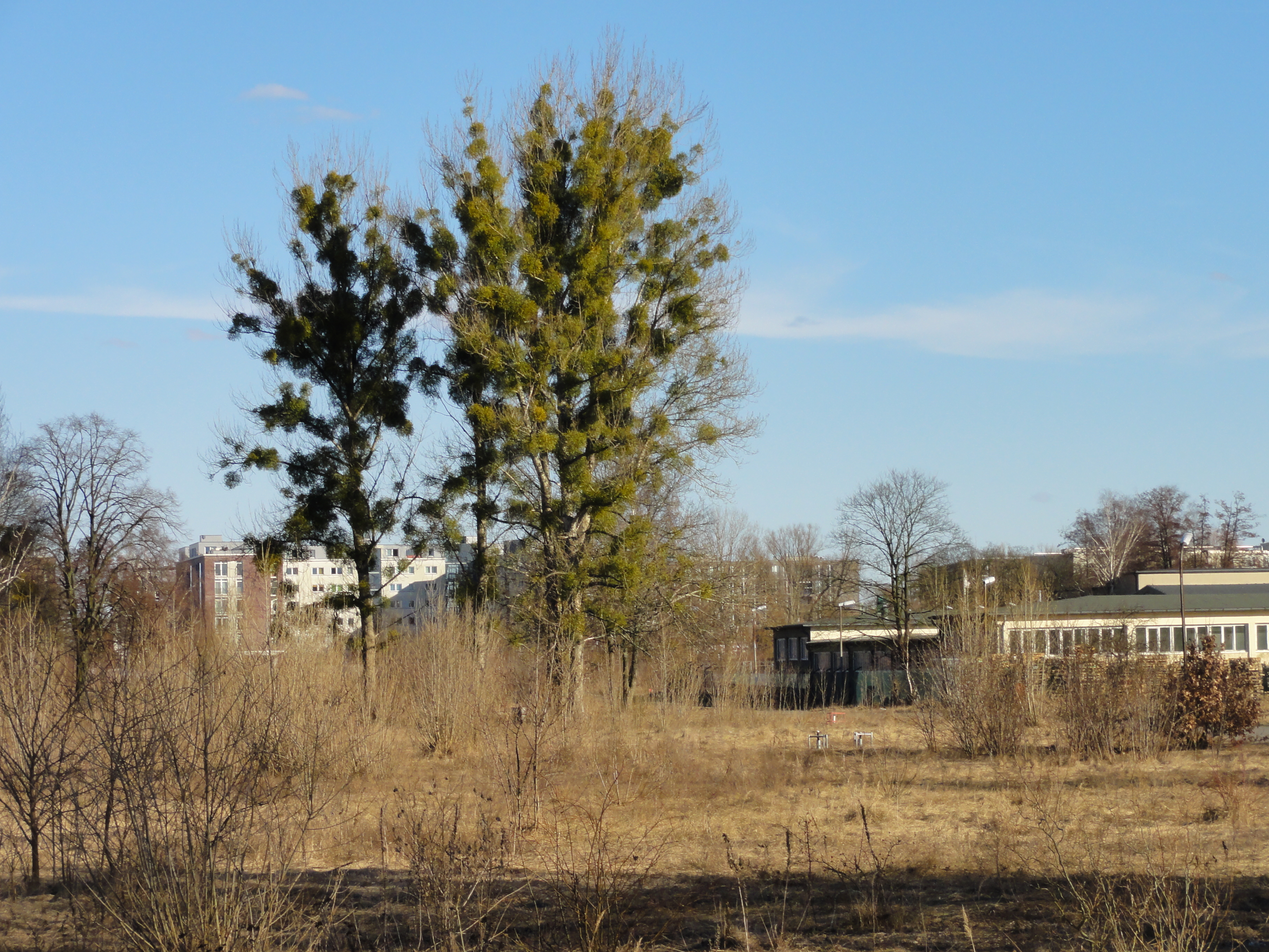
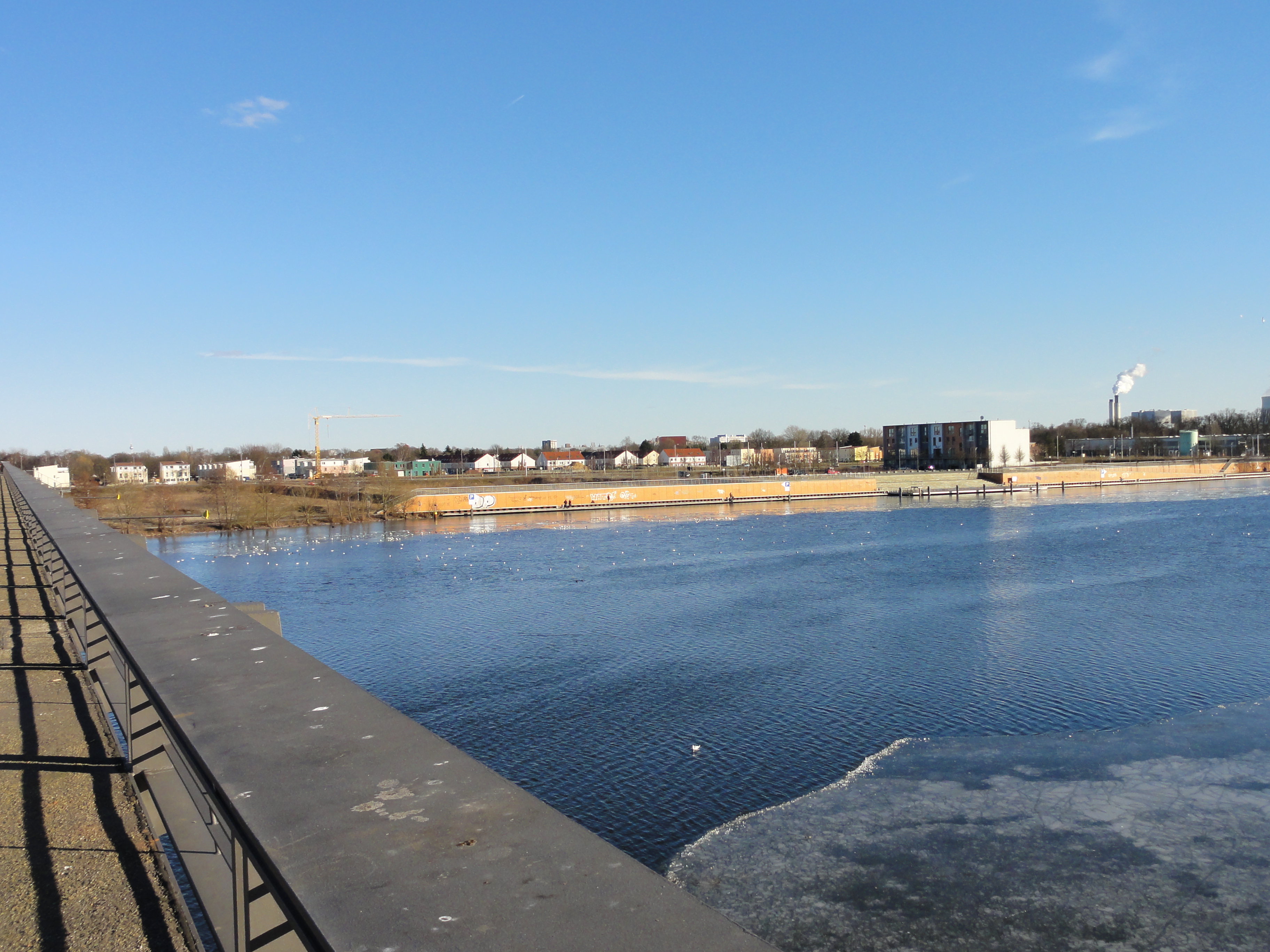
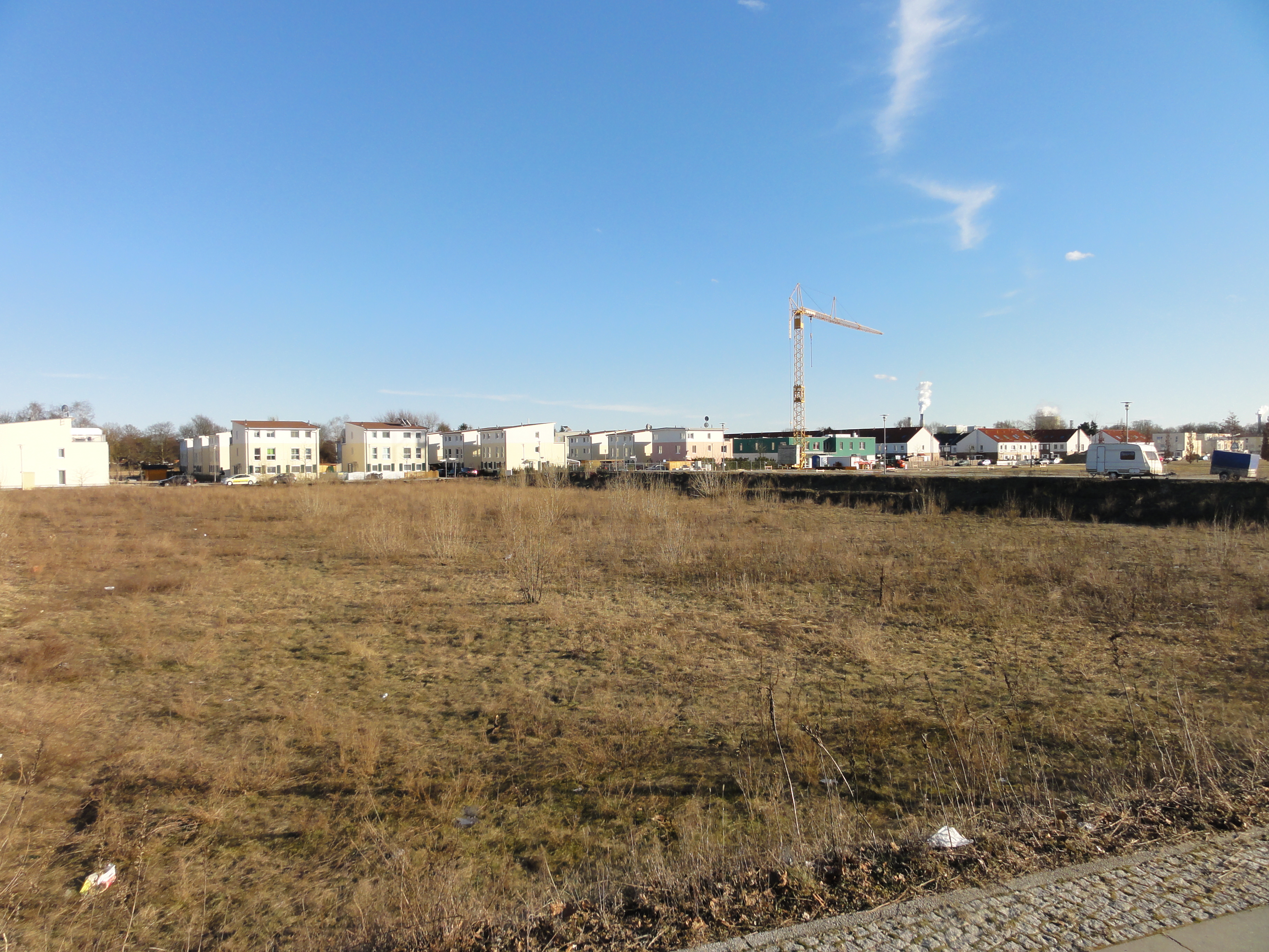
This is a part of the new "Wasserstadt" ("water city"), one of the parts which are already inhabited. Most parts indeed are still wastelands, as we shall see soon!
|
|
2011:03:06 14:47:04
---
52 deg 32' 45.83" N, 13 deg 12' 39.14" E
346.5
°
©
ml
|
|
|
2011:03:06 14:47:27
---
52 deg 32' 45.42" N, 13 deg 12' 39.42" E
5.5
°
©
ml
|
|
|
2011:03:06 14:49:42
---
52 deg 32' 45.50" N, 13 deg 12' 39.52" E
288.25
°
©
ml
|
|
|
2011:03:06 14:50:26
---
52 deg 32' 47.71" N, 13 deg 12' 42.00" E
261.5
°
©
ml
|
|
|
2011:03:06 14:50:45
---
52 deg 32' 49.14" N, 13 deg 12' 43.36" E
263.25
°
©
ml
|
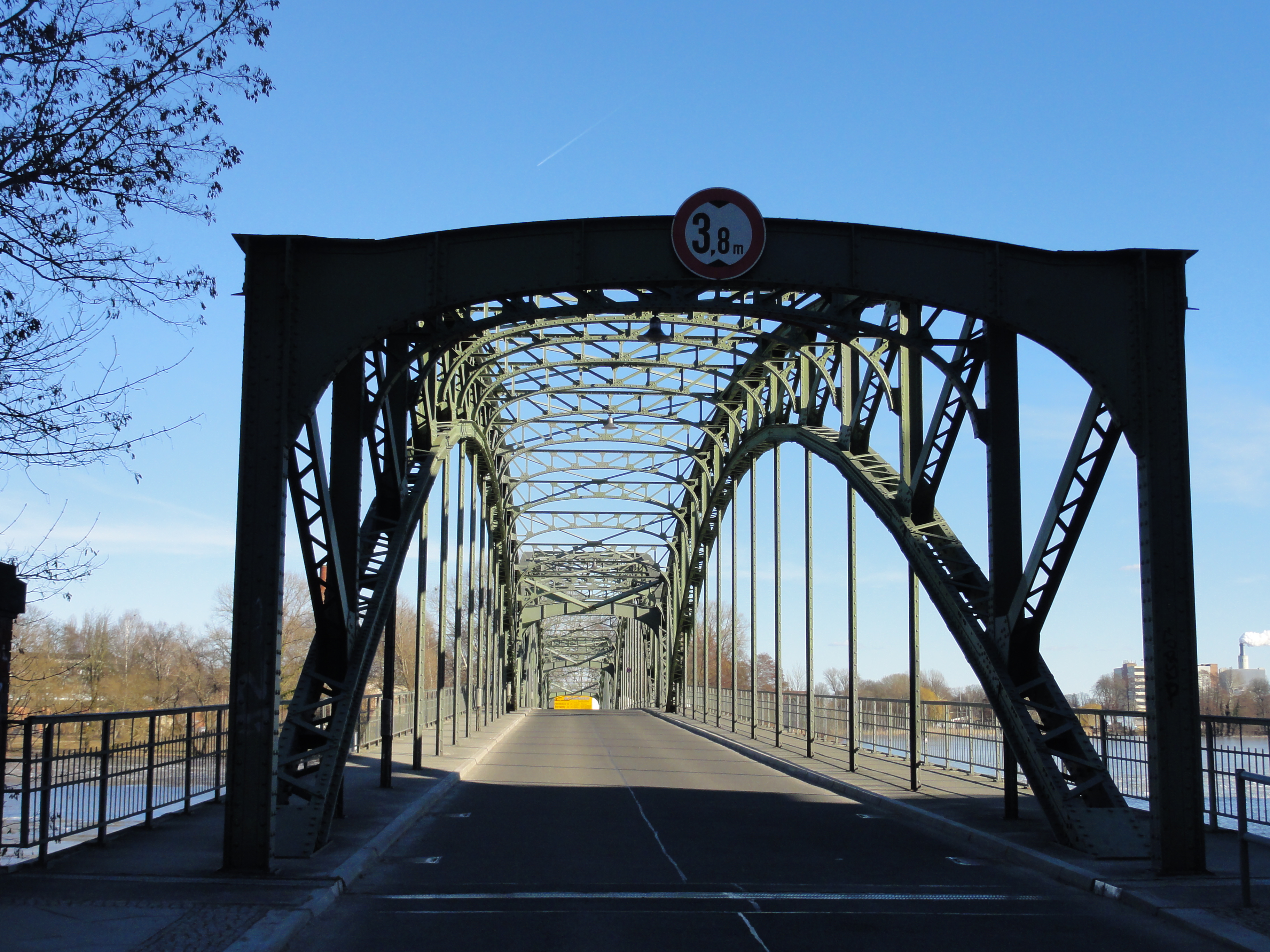
This is the bridge to EISWERDER. You can take it, then the tour is a little bit shorter, and it's also interesting.
|
|
2011:03:06 14:49:55
---
52 deg 32' 48.93" N, 13 deg 12' 44.71" E
3.5
°
©
ml
|
|
|
2011:03:06 14:51:46
---
52 deg 32' 50.82" N, 13 deg 12' 45.38" E
191.75
°
©
ml
|
But we continued on the right side of the river (which is the LEFT side, as we see it!)
|
|
2011:03:06 14:52:52
---
52 deg 32' 51.68" N, 13 deg 12' 45.64" E
301.75
°
©
ml
|
|
|
2011:03:06 14:53:02
---
52 deg 32' 51.58" N, 13 deg 12' 45.92" E
312
°
©
ml
|
|
|
2011:03:06 14:53:31
---
52 deg 32' 51.69" N, 13 deg 12' 46.13" E
283
°
©
ml
|
|
|
2011:03:06 15:00:14
---
52 deg 33' 4.93" N, 13 deg 12' 54.80" E
317.75
°
©
ml
|
|
|
2011:03:06 15:00:27
---
52 deg 33' 5.18" N, 13 deg 12' 55.04" E
238.75
°
©
ml
|
|
|
2011:03:06 15:02:45
---
52 deg 33' 8.84" N, 13 deg 12' 54.83" E
24.5
°
©
ml
|
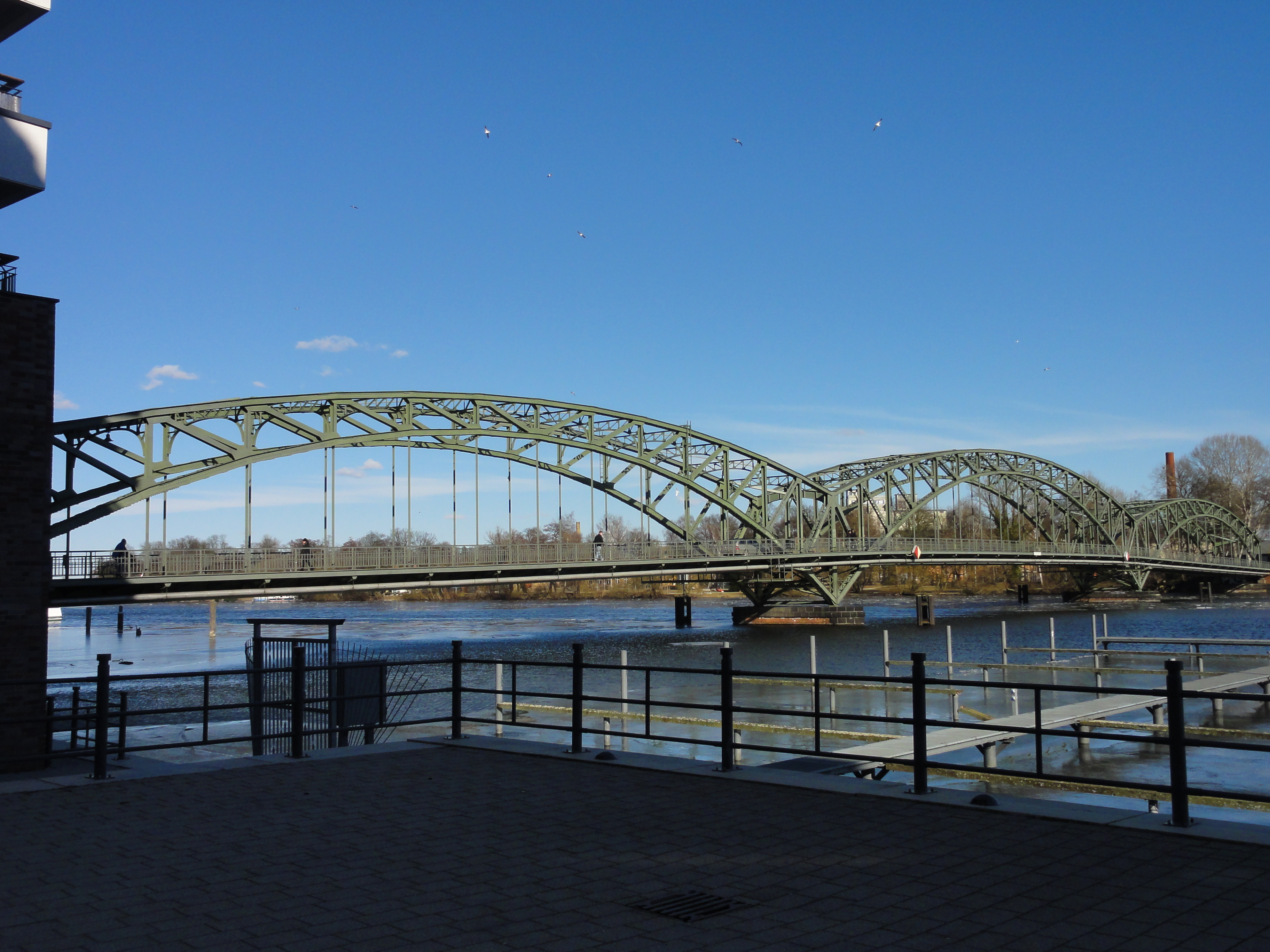
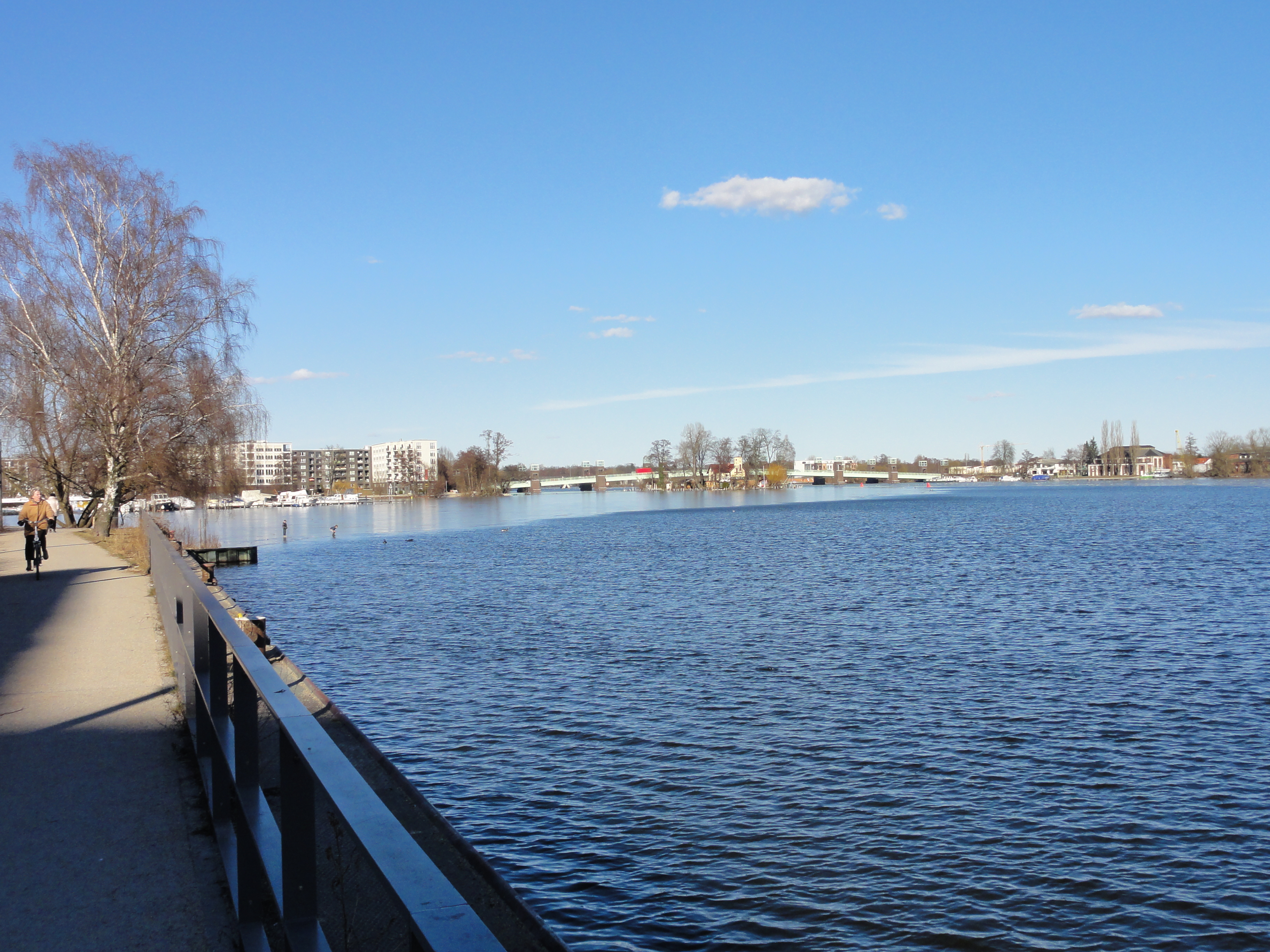
This is a NEW bridge, the "Spandauer-See-Brücke", the first bridge on our trail which has been constructed in course of the "Wasserstadt" project.
|
|
2011:03:06 15:01:00
---
52 deg 33' 5.81" N, 13 deg 12' 55.53" E
313.75
°
©
ml
|
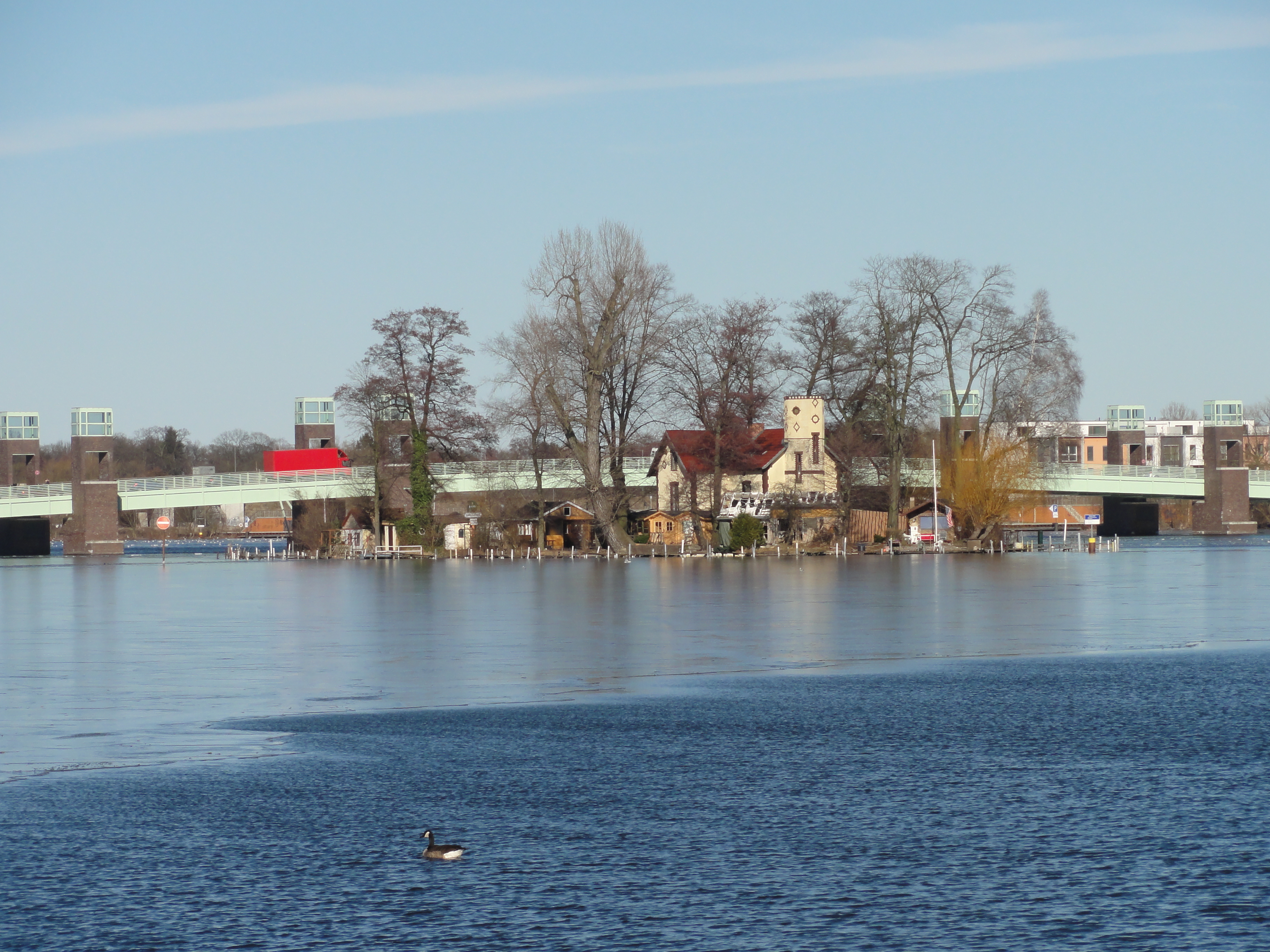
Then the Nordhafen is in our way, and we have to make a small detour. Here we enter HAKENFELDE.
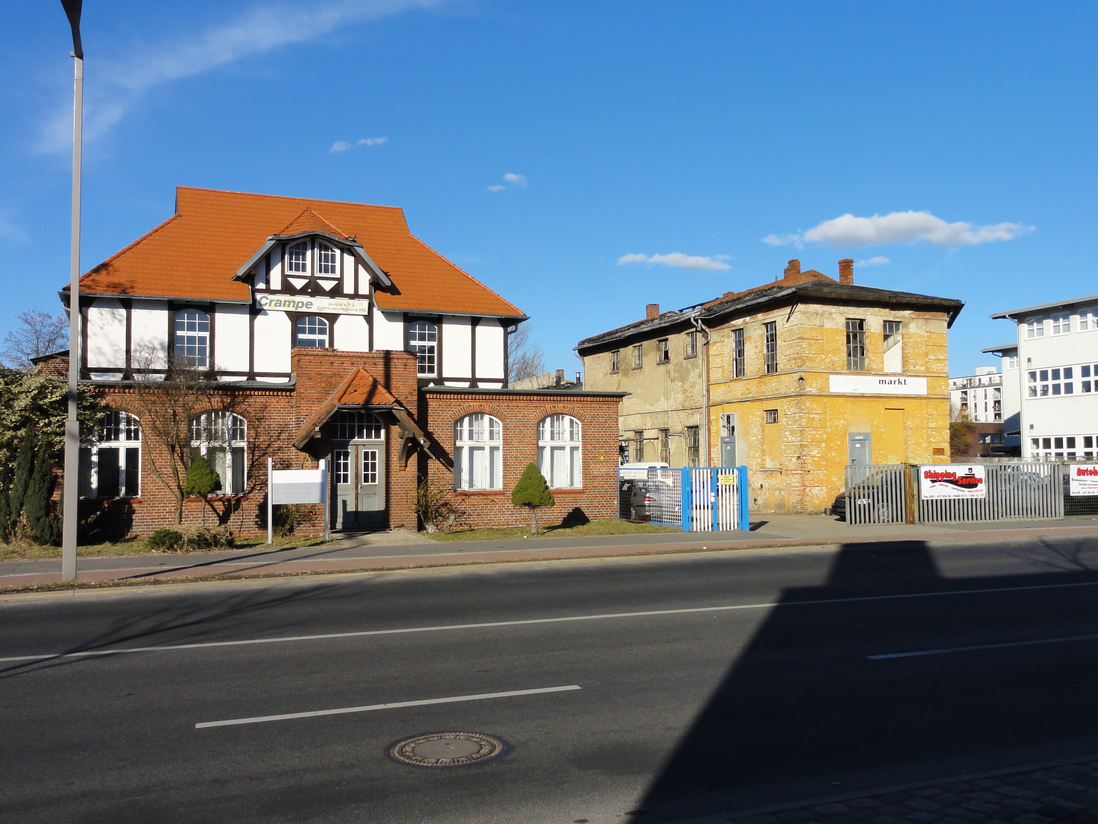
We turn left and then turn right again as soon as possible. Here in the Streitstraße, we find the former "Luftfahrtgerätewerk Siemens und Halske", which is of course a NAZI-building. Very impressive:
|
|
2011:03:06 15:21:38
---
52 deg 33' 14.90" N, 13 deg 12' 32.79" E
30.75
°
©
ml
|
|
|
2011:03:06 15:22:11
---
52 deg 33' 27.37" N, 13 deg 12' 29.34" E
350.75
°
©
ml
|
|
|
2011:03:06 15:27:53
---
52 deg 33' 32.55" N, 13 deg 12' 31.17" E
192.75
°
©
ml
|
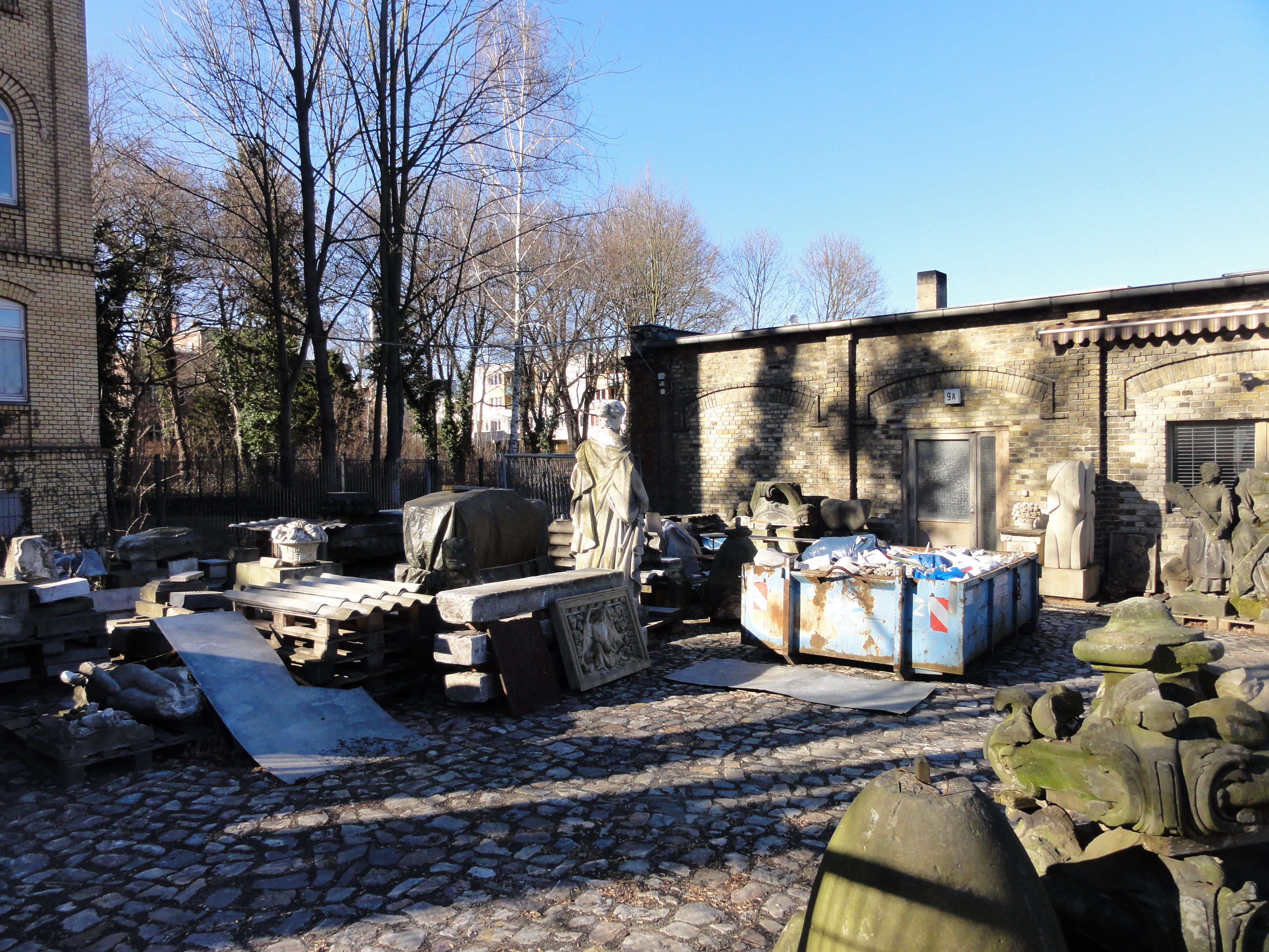
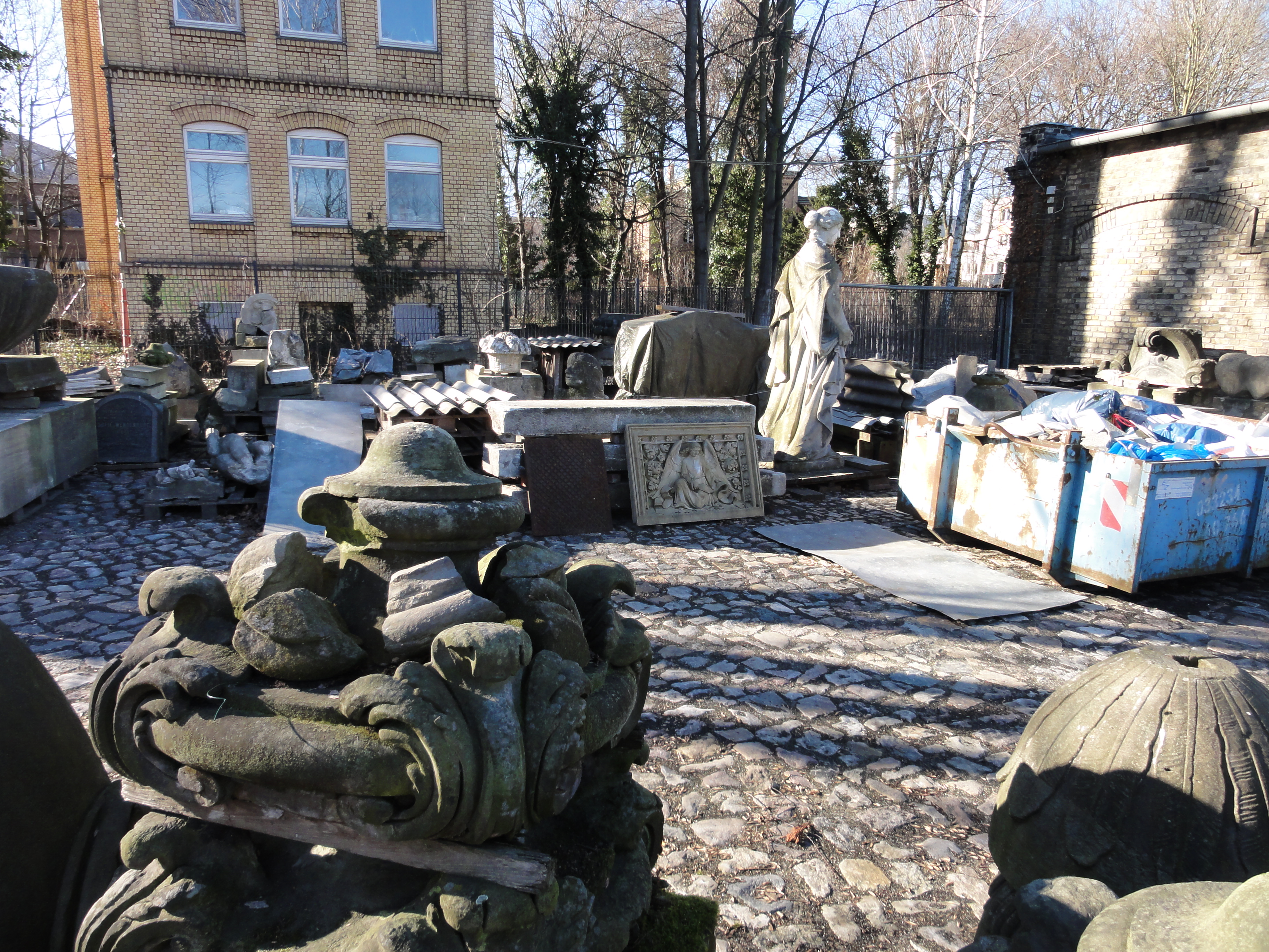
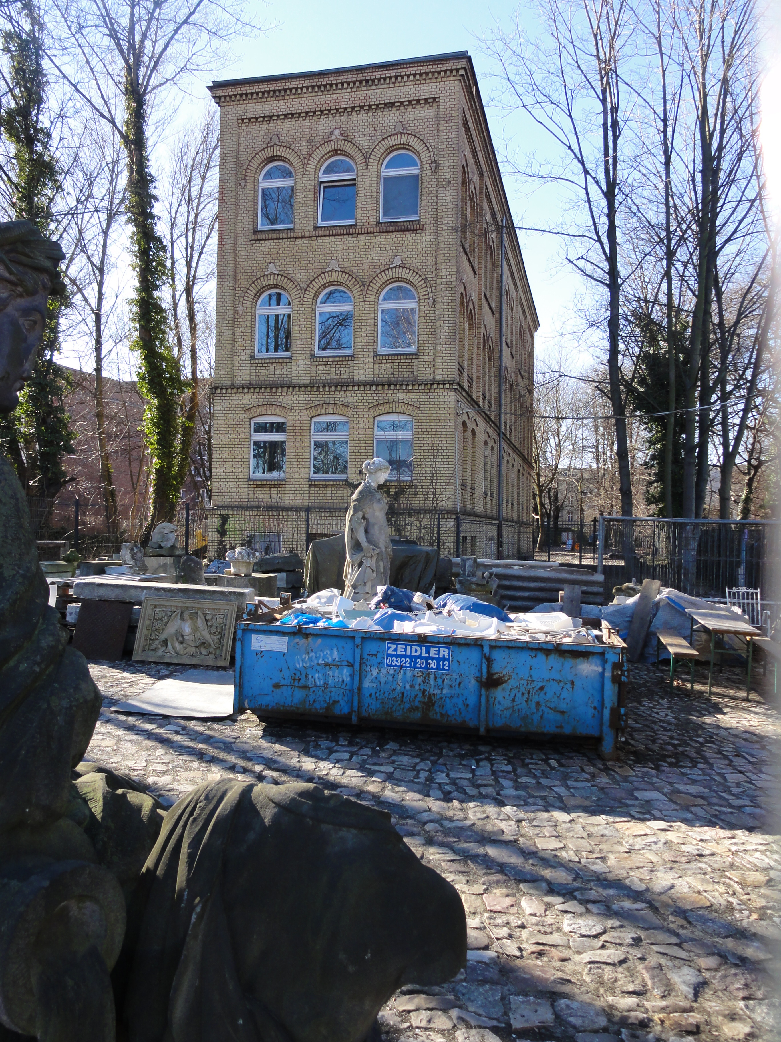
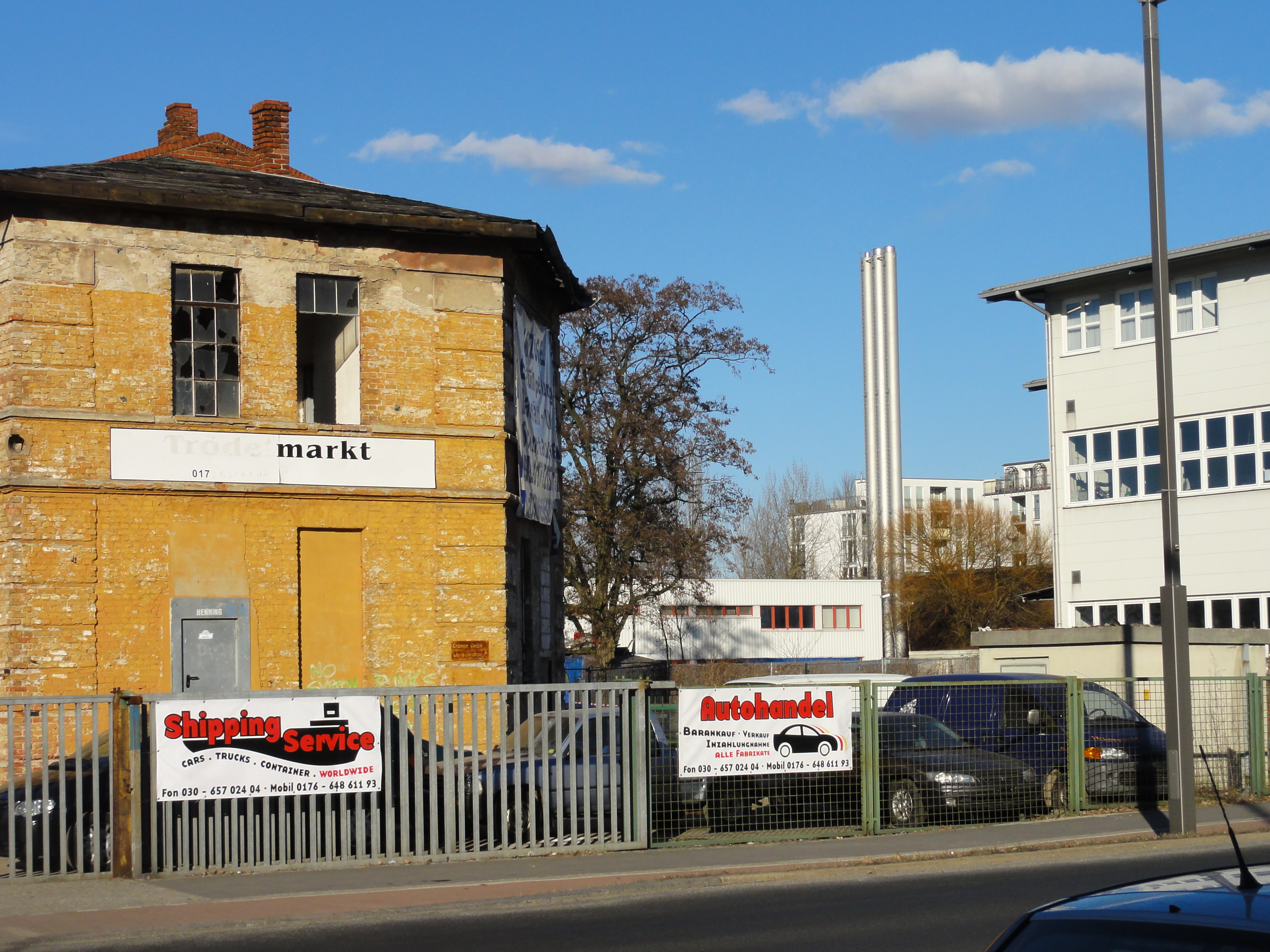
We assume that this open place had once carried big industrial halls for ZEPPELIN production, but we're not sure yet. It's quite amazing, such a huge waste land in the middle of the town, and quite romantic!
|
|
2011:03:06 15:27:31
---
52 deg 33' 32.39" N, 13 deg 12' 30.81" E
101
°
©
ml
|
|
|
2011:03:06 15:27:16
---
52 deg 33' 32.69" N, 13 deg 12' 30.89" E
84.5
°
©
ml
|
|
|
2011:03:06 15:27:24
---
52 deg 33' 32.57" N, 13 deg 12' 31.05" E
132.25
°
©
ml
|
Then we follow the Rauch-Str. westward ...

|
|
2011:03:06 15:38:44
---
52 deg 33' 32.97" N, 13 deg 12' 30.72" E
352.5
°
©
ml
|
|
|
2011:03:06 15:39:43
---
52 deg 33' 37.11" N, 13 deg 13' 4.27" E
8
°
©
ml
|
|
|
2011:03:06 15:40:01
---
52 deg 33' 36.63" N, 13 deg 13' 6.17" E
312.5
°
©
ml
|
|
|
2011:03:06 15:41:27
---
52 deg 33' 36.24" N, 13 deg 13' 8.91" E
31
°
©
ml
|
And reach the Gartenstadtbrücke for crossing the Havel:
|
|
2011:03:06 15:47:34
---
52 deg 33' 33.29" N, 13 deg 13' 29.77" E
116.25
°
©
ml
|
|
|
2011:03:06 15:43:11
---
52 deg 33' 35.63" N, 13 deg 13' 13.54" E
85.75
°
©
ml
|
|
|
2011:03:06 15:44:51
---
52 deg 33' 34.52" N, 13 deg 13' 20.34" E
205.25
°
©
ml
|
|
|
2011:03:06 15:45:44
---
52 deg 33' 34.53" N, 13 deg 13' 22.63" E
168.25
°
©
ml
|
|
|
2011:03:06 15:48:20
---
52 deg 33' 33.26" N, 13 deg 13' 30.08" E
138.5
°
©
ml
|
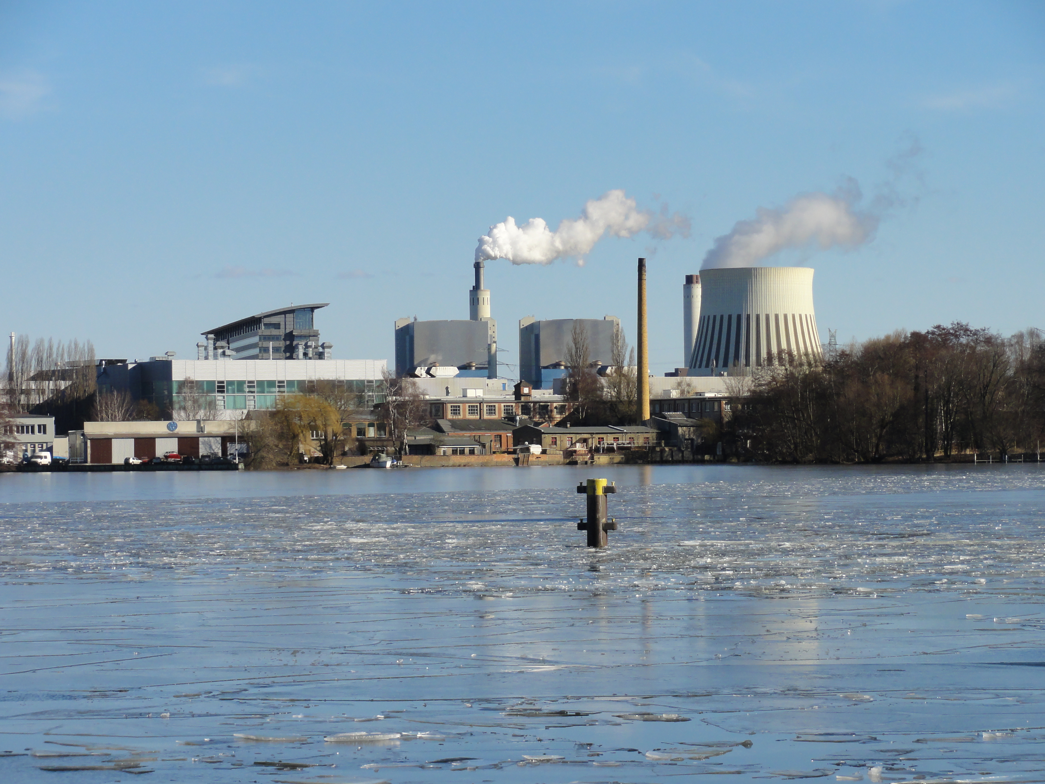
A view to the Spandauer-See-Brücke (one bridge as new as the other!):
|
|
2011:03:06 15:43:33
---
52 deg 33' 35.63" N, 13 deg 13' 13.54" E
204.25
°
©
ml
|
...and again to the Ruhleben power plants (there are more than one!):
|
|
2011:03:06 15:47:56
---
52 deg 33' 33.29" N, 13 deg 13' 29.92" E
179.5
°
©
ml
|
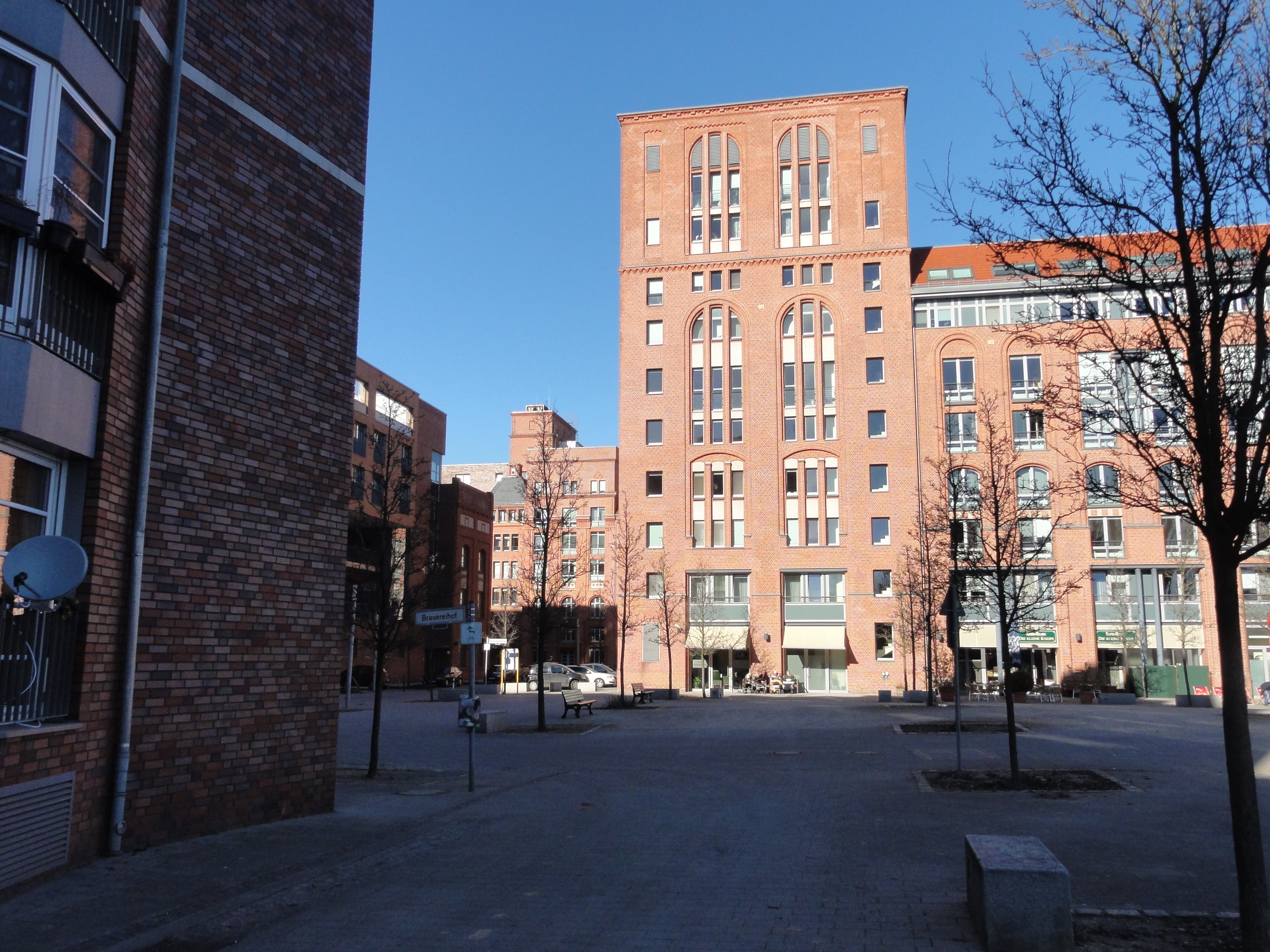
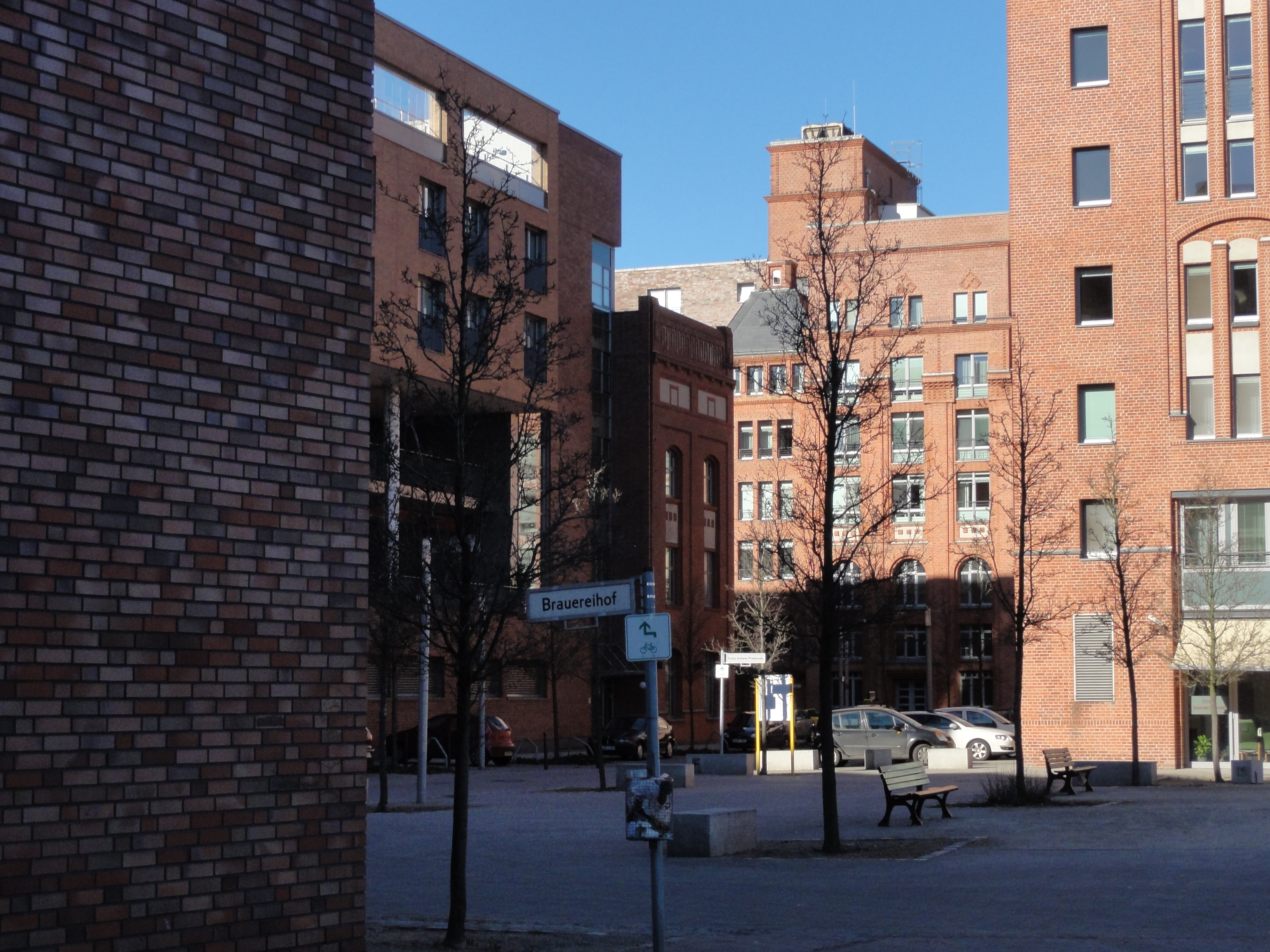
This new Gartenstadt was meant for hundreds of houses and tenthousands of people form young families. TEN houses are already there, and that has been the situtation for the last ten years! The children grown up here had much space for playing in the mud, but not many neighbour kids! Now they're grown-up!
|
|
2011:03:06 15:47:24
---
52 deg 33' 33.38" N, 13 deg 13' 29.39" E
141.5
°
©
ml
|
|
|
2011:03:06 15:53:06
---
52 deg 33' 31.16" N, 13 deg 13' 41.23" E
144
°
©
ml
|
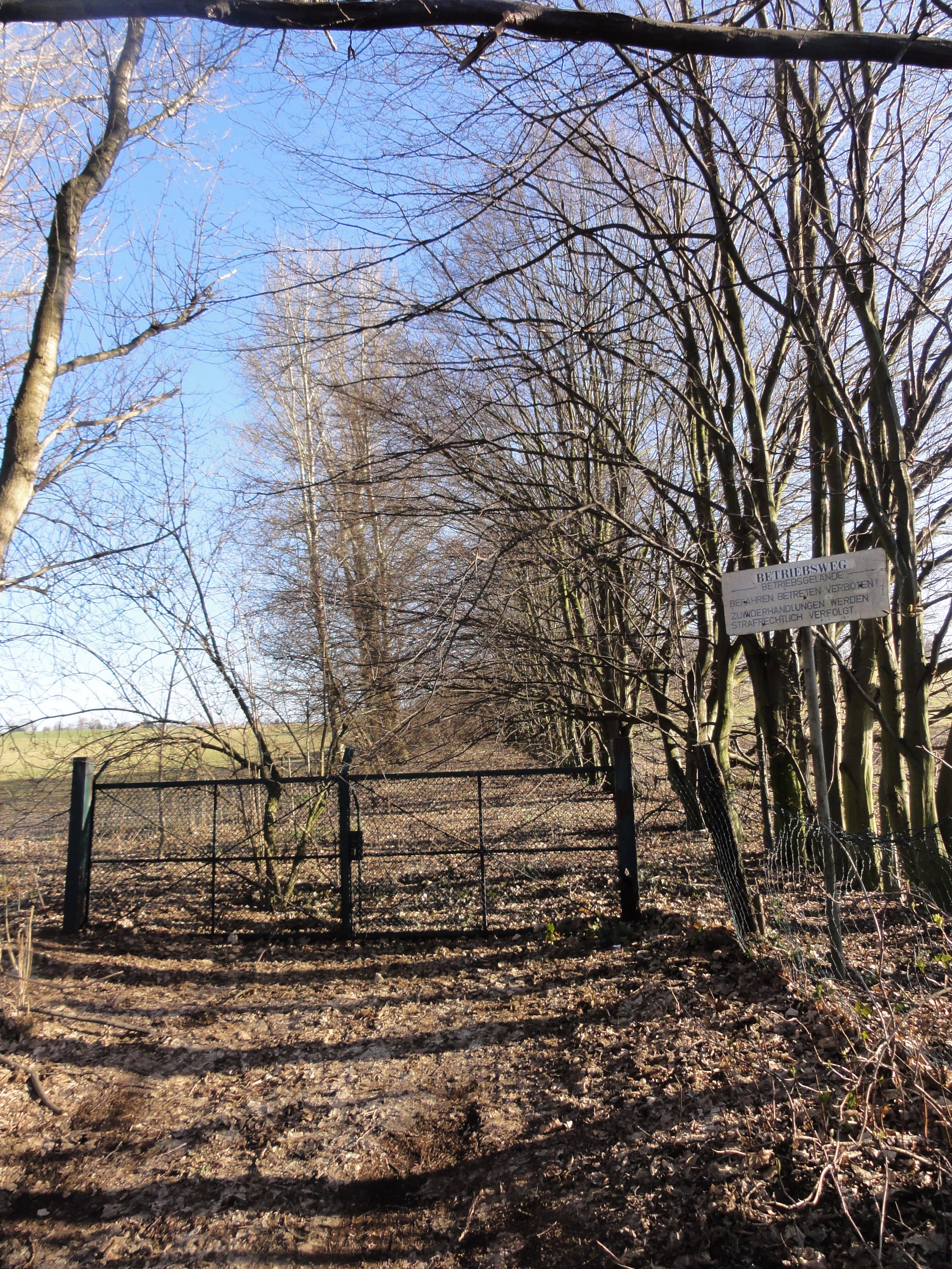
AND they have operating traffic lights, in the middle of nowhere! Sorry, I forgot to take a photo, go there and have a look yourself!
Behind there is, on one side, a further waste land, the so-called "Rohrbruch-Wiesen", on the other a Laubensiedlung, and there is a small path with a hand-written sign "Uferweg" which leads to the "Spandauer Schiffahrtskanal":
|
|
2011:03:06 15:58:02
---
52 deg 33' 31.36" N, 13 deg 13' 41.41" E
141.25
°
©
ml
|
|
|
2011:03:06 15:58:08
---
52 deg 33' 29.51" N, 13 deg 13' 53.79" E
199.75
°
©
ml
|
|
|
2011:03:06 16:08:30
---
52 deg 33' 27.23" N, 13 deg 14' 10.39" E
192.5
°
©
ml
|
|
|
2011:03:06 16:04:28
---
52 deg 33' 30.17" N, 13 deg 14' 5.08" E
129.5
°
©
ml
|
|
|
2011:03:06 16:19:20
---
52 deg 33' 27.50" N, 13 deg 14' 18.96" E
196.75
°
©
ml
|
|
|
2011:03:06 16:17:34
---
52 deg 33' 27.01" N, 13 deg 14' 17.55" E
179.75
°
©
ml
|
|
|
2011:03:06 16:17:54
---
52 deg 33' 27.04" N, 13 deg 14' 17.52" E
148
°
©
ml
|
|
|
2011:03:06 16:18:29
---
52 deg 33' 27.49" N, 13 deg 14' 18.04" E
186.25
°
©
ml
|
|
|
2011:03:06 16:08:00
---
52 deg 33' 27.84" N, 13 deg 14' 10.24" E
124
°
©
ml
|
|
|
2011:03:06 16:11:31
---
52 deg 33' 26.59" N, 13 deg 14' 14.66" E
140.5
°
©
ml
|
|
|
2011:03:06 16:11:42
---
52 deg 33' 26.79" N, 13 deg 14' 14.09" E
248.25
°
©
ml
|
|
|
2011:03:06 16:12:07
---
52 deg 33' 27.00" N, 13 deg 14' 14.65" E
201.75
°
©
ml
|
|
|
2011:03:06 16:19:51
---
52 deg 33' 27.16" N, 13 deg 14' 19.00" E
253.5
°
©
ml
|
|
|
2011:03:06 16:12:33
---
52 deg 33' 26.93" N, 13 deg 14' 14.71" E
87
°
©
ml
|
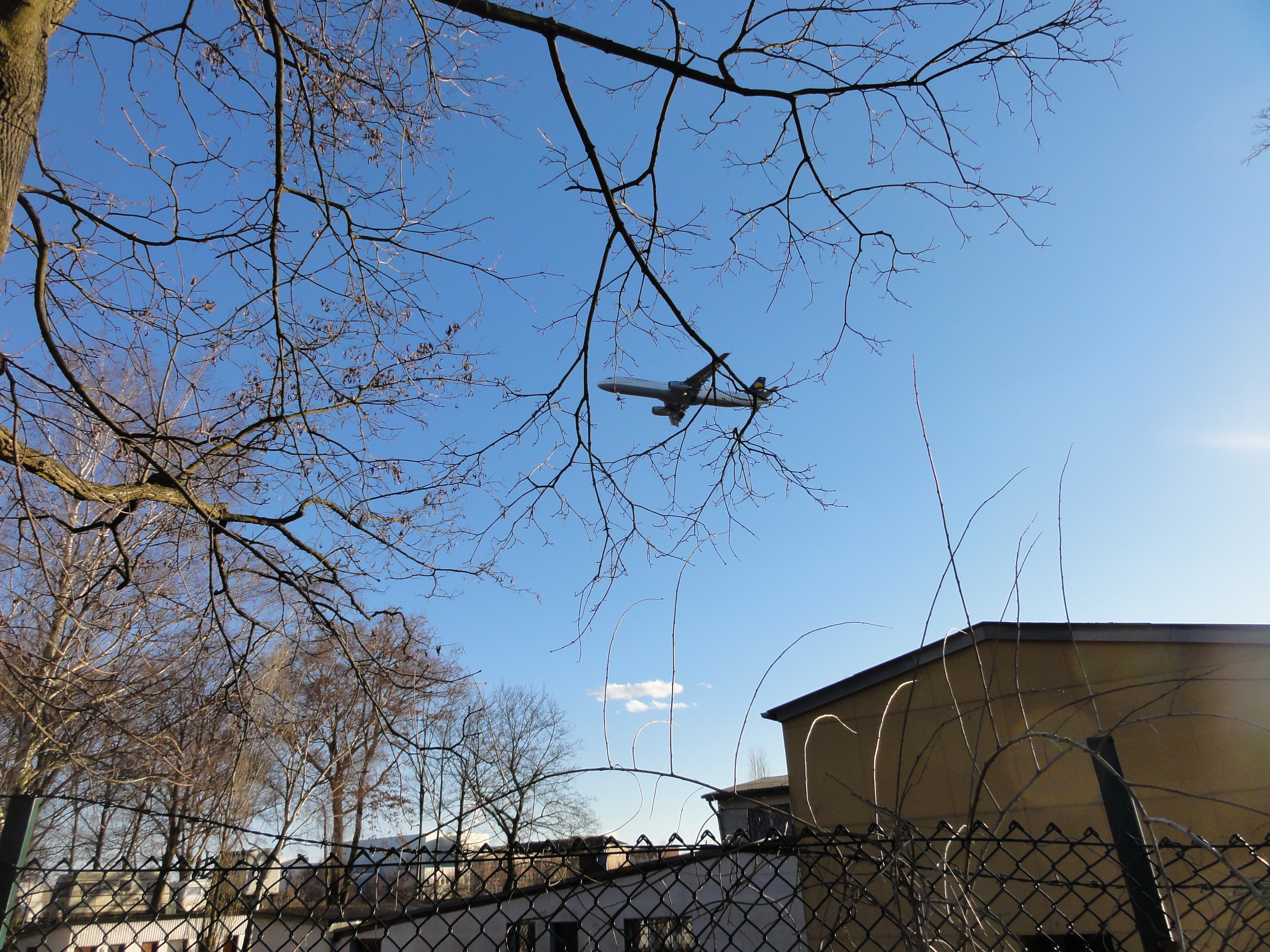
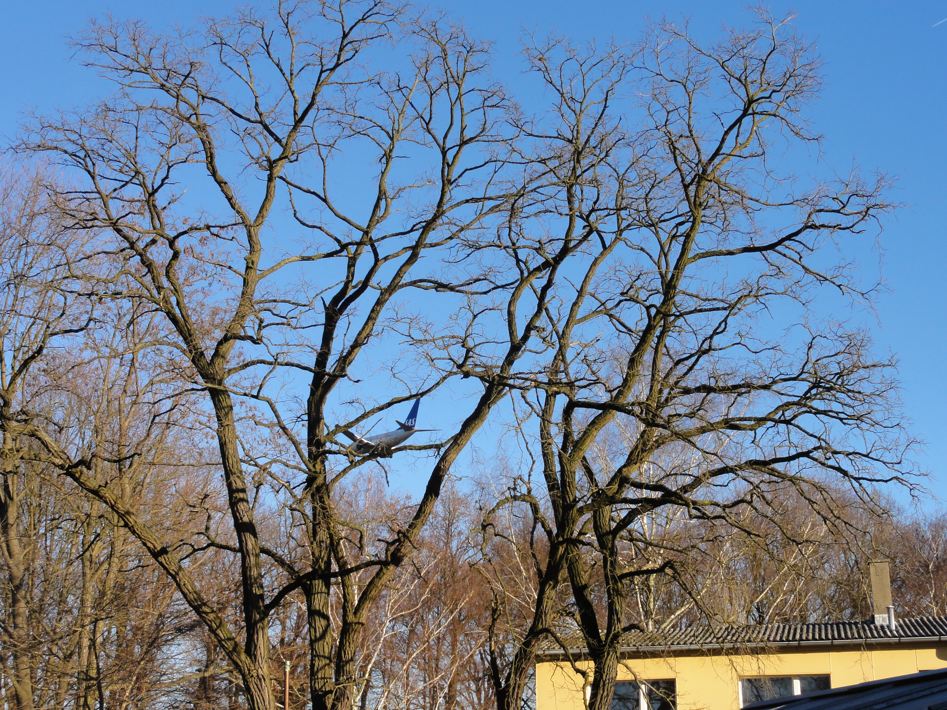
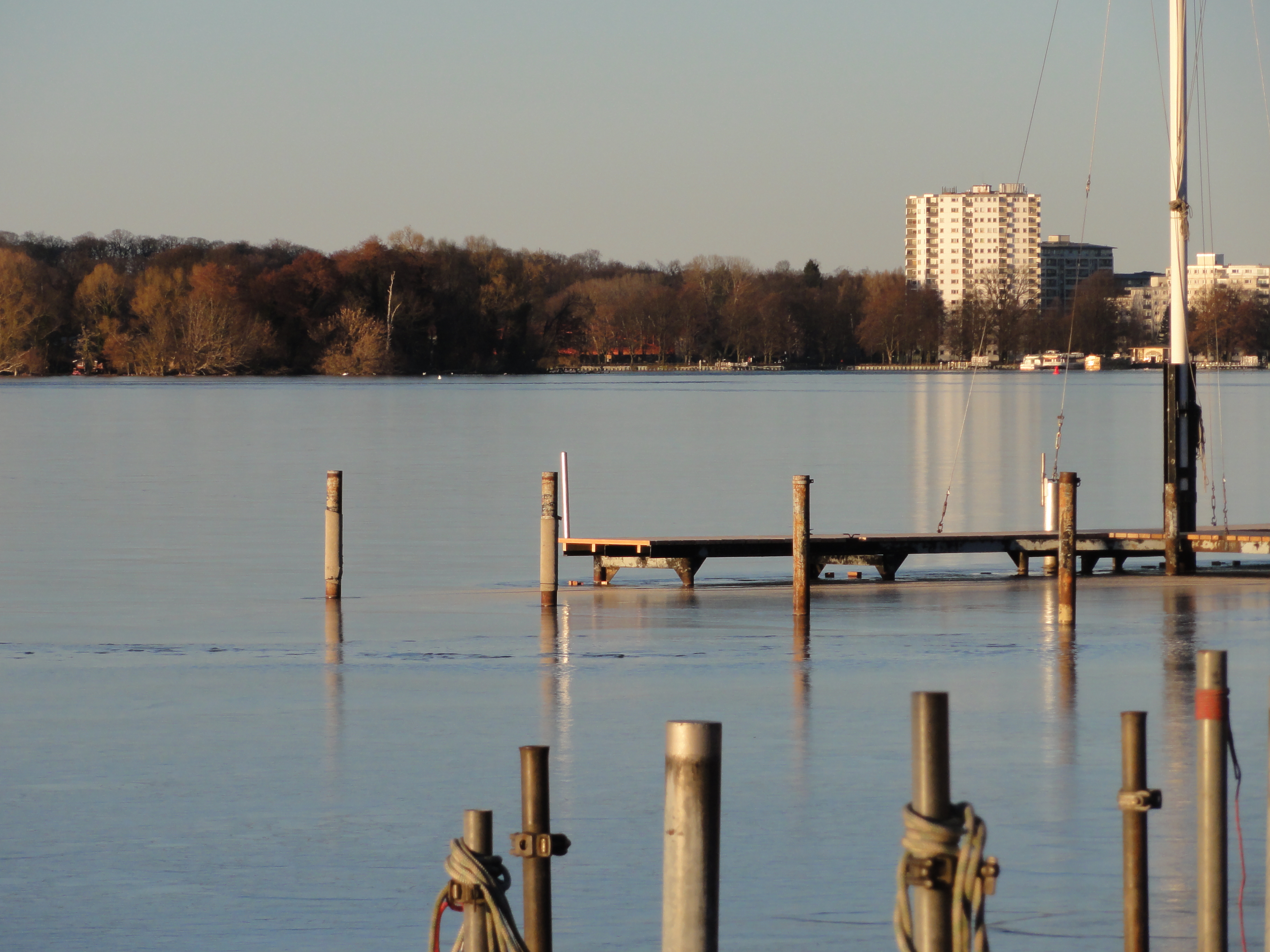
Aircrafts still land in Tegel:
|
|
2011:03:06 16:23:47
---
52 deg 33' 24.56" N, 13 deg 14' 26.38" E
258.5
°
©
ml
|
|
|
2011:03:06 16:22:35
---
52 deg 33' 24.34" N, 13 deg 14' 24.62" E
125.5
°
©
ml
|
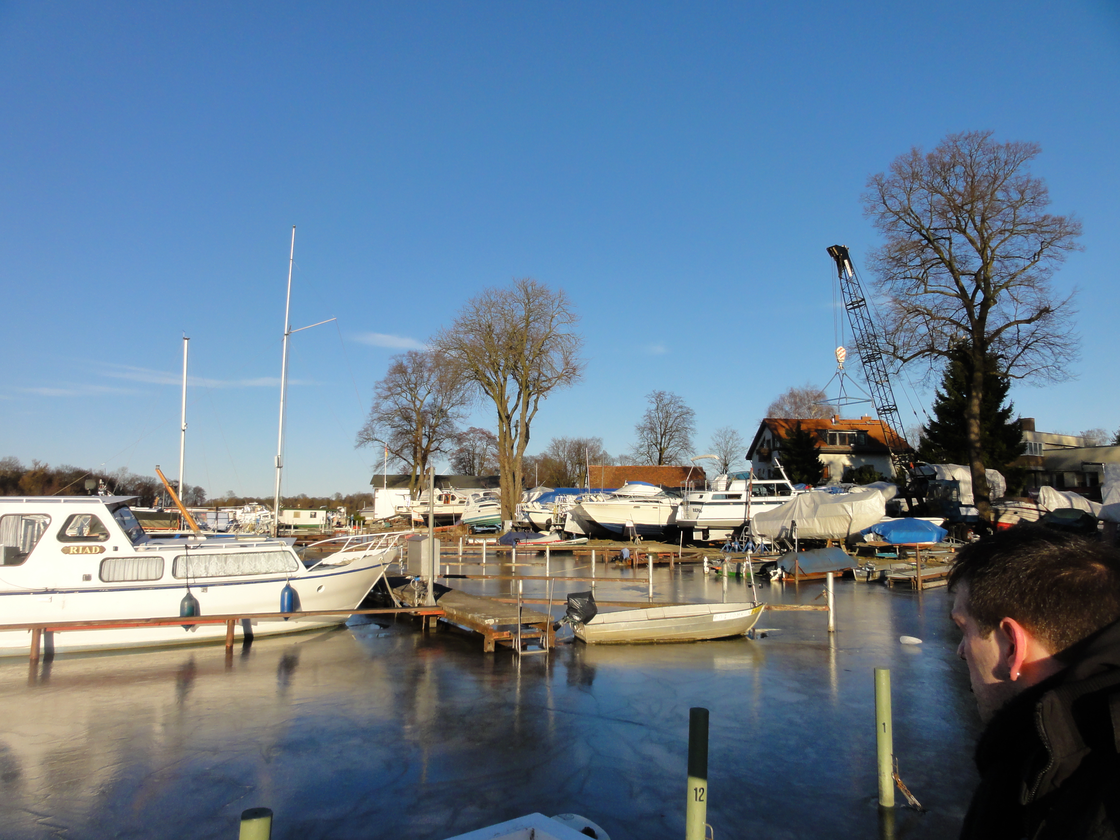
Its hard to find the way to Tegel-city! After crossing the canal there
are a lot of signs pointing to Mitte and Wedding, but no single one in our
direction.
Keep north, the main road, for about fifty meters, and then keep
as far left as possible or as legal!
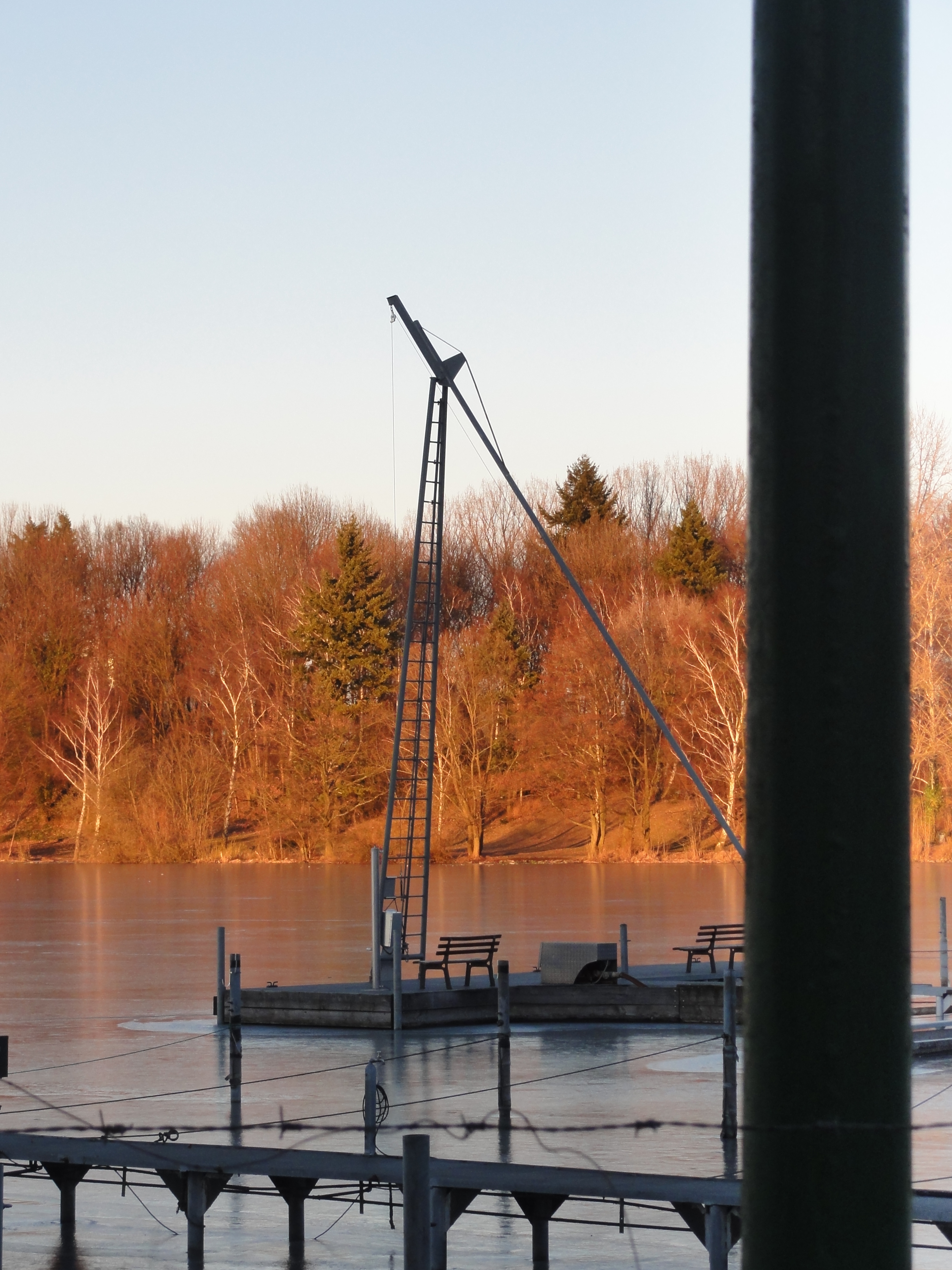
With this fool-proved anti-maze-method First you will reach the landing pier of the small private ferry to Marienwerder.
|
|
2011:03:06 16:36:26
---
52 deg 33' 40.26" N, 13 deg 14' 24.36" E
291.5
°
©
ml
|
|
|
2011:03:06 16:36:16
---
52 deg 33' 40.53" N, 13 deg 14' 23.98" E
351
°
©
ml
|
|
|
2011:03:06 16:36:06
---
52 deg 33' 38.05" N, 13 deg 14' 26.77" E
52.25
°
©
ml
|
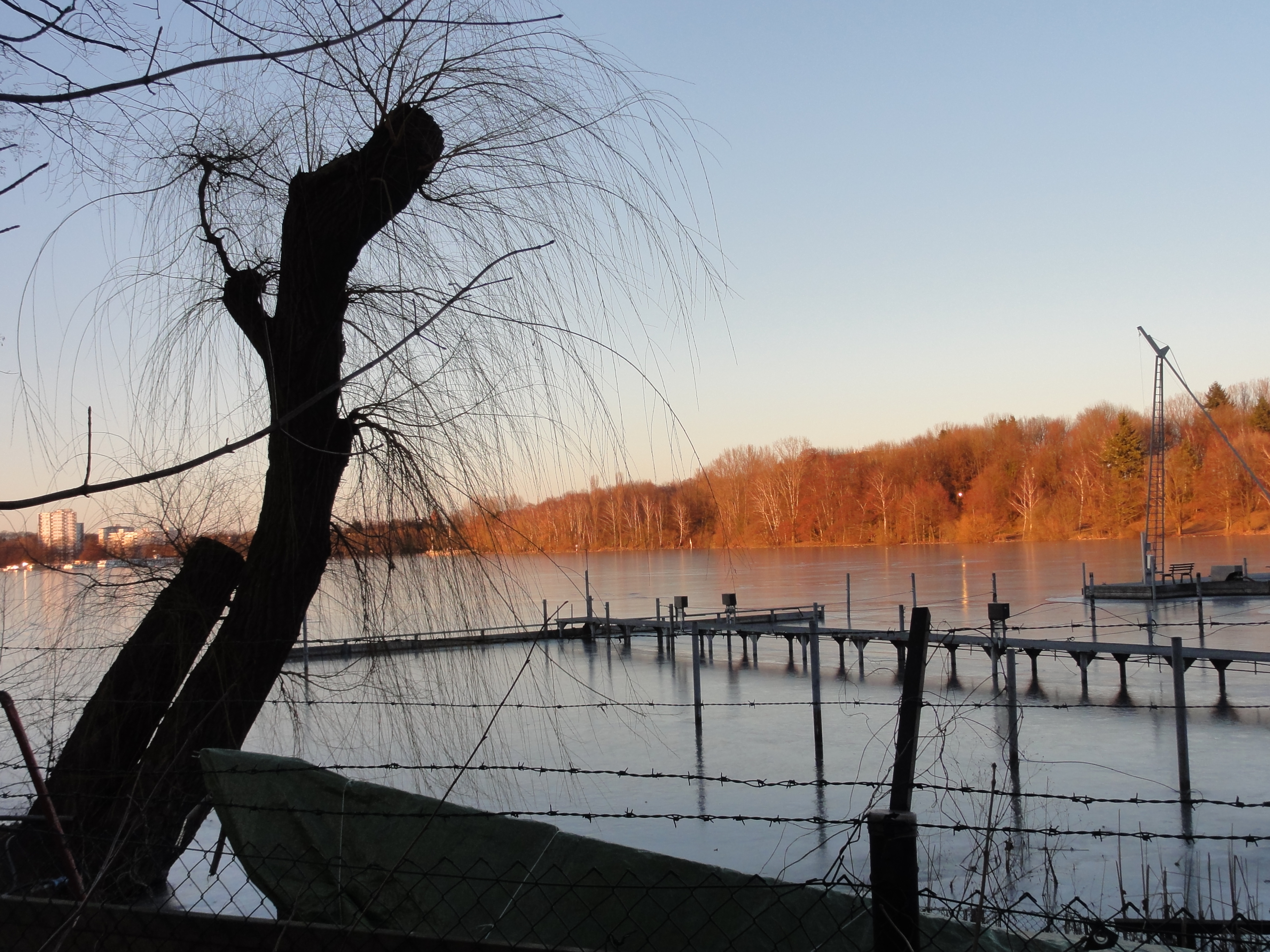
Then you have to turn, walk back and walk around all this private
yacht harbour.
Allway keeping to the left, as far as public property, you will reach
the Tegeler See after cd. threehundred meters:
|
|
2011:03:06 16:46:07
---
52 deg 33' 43.07" N, 13 deg 14' 47.13" E
10.5
°
©
ml
|
|
|
2011:03:06 16:46:30
---
52 deg 33' 42.86" N, 13 deg 14' 47.90" E
354
°
©
ml
|
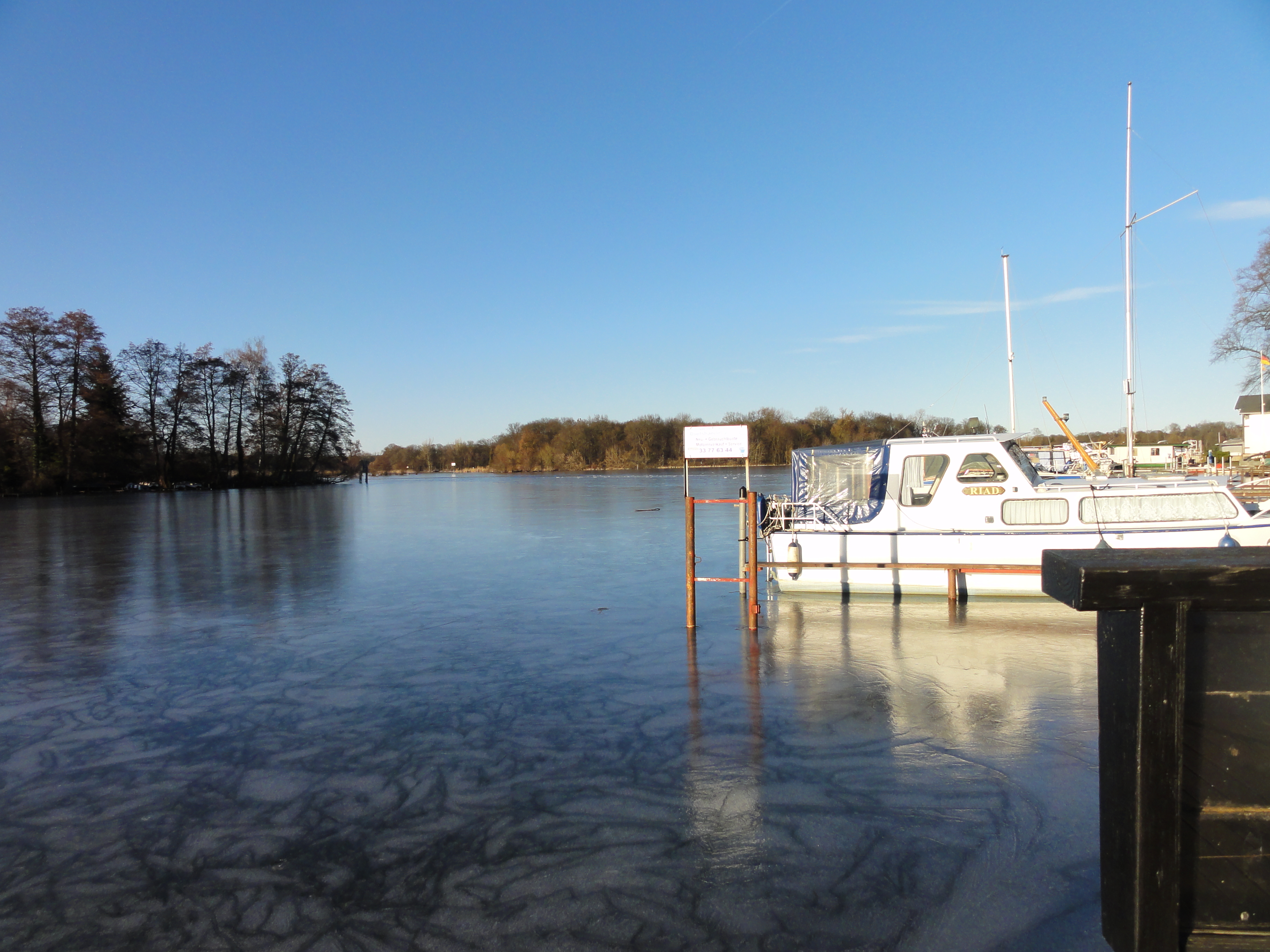
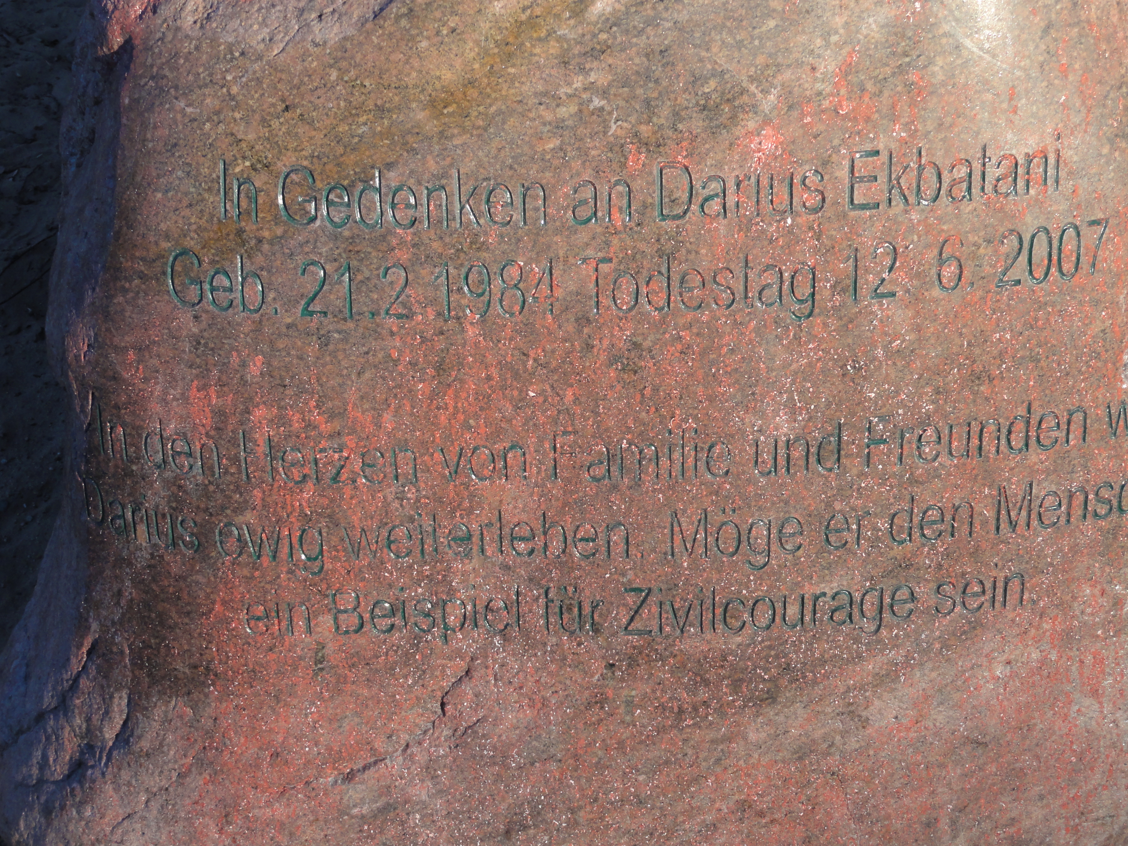
This guy was killed by some young mad-men, when he wanted to protect his friends (I wonder why THEY did not protect HIM, but it sowehow went wrong!?-) He was just twenty-three and I think that's a fucking age to die.
|
|
2011:03:06 16:50:27
---
52 deg 33' 49.25" N, 13 deg 14' 41.27" E
123.25
°
©
ml
|
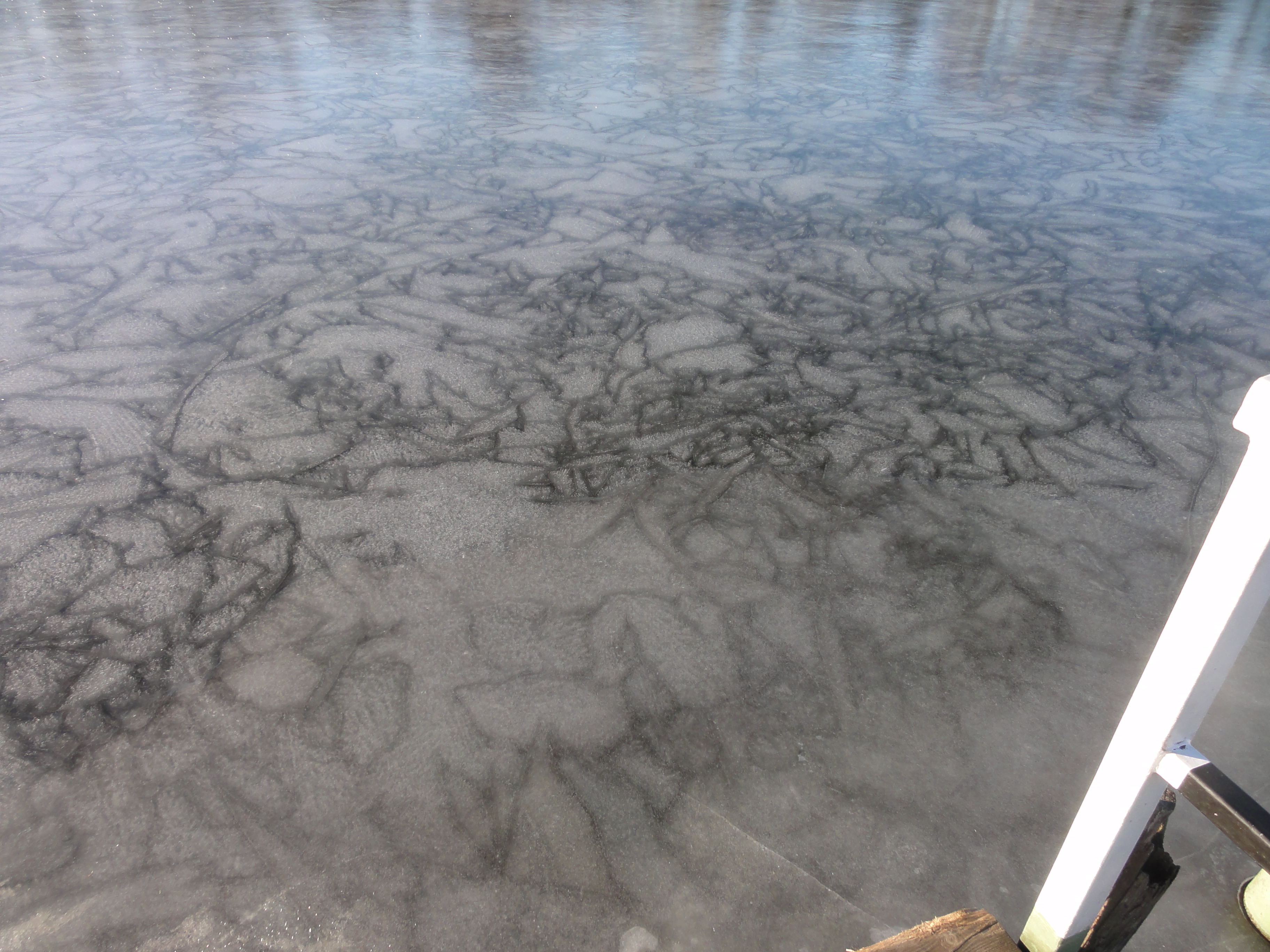
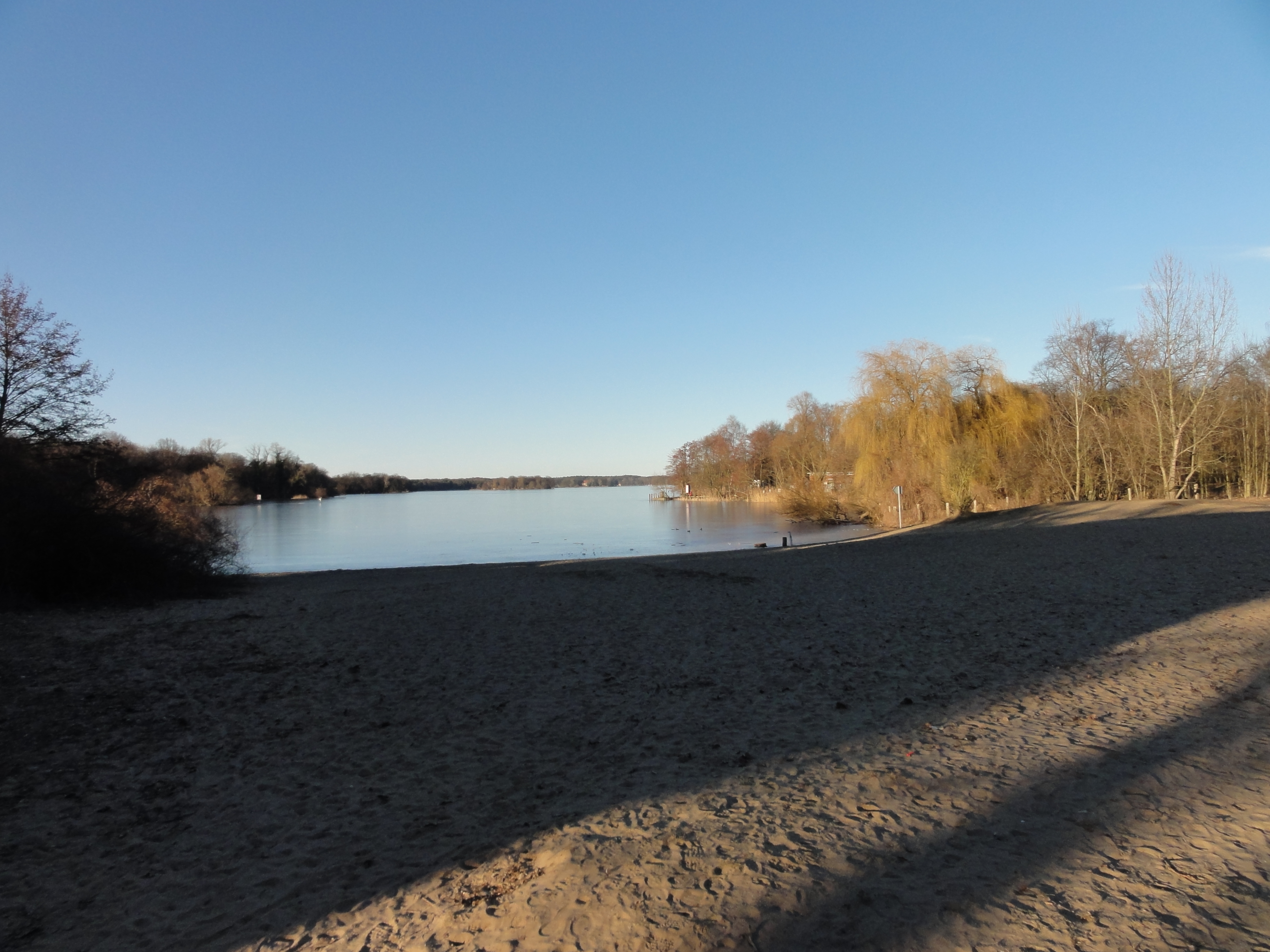
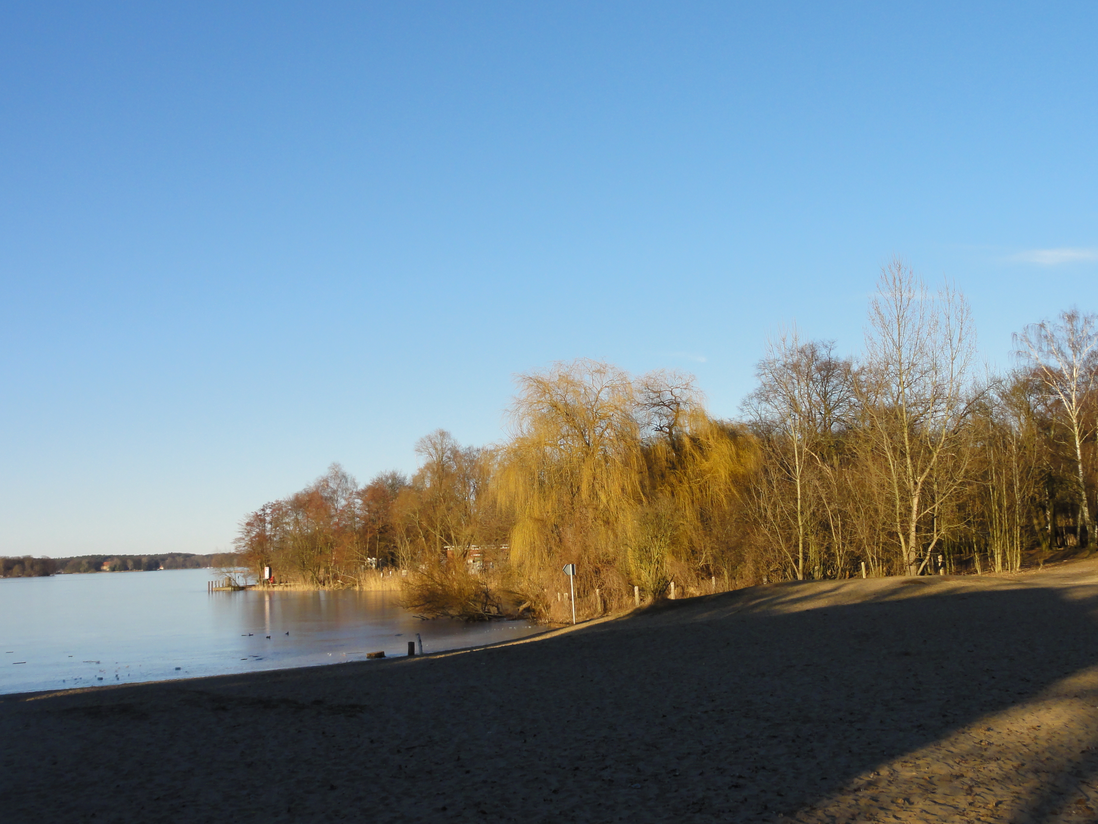
Now we just follow the shore north (this needs no comment !-)
|
|
2011:03:06 16:51:11
---
52 deg 33' 43.94" N, 13 deg 14' 50.47" E
299.5
°
©
ml
|
|
|
2011:03:06 16:54:01
---
52 deg 33' 43.94" N, 13 deg 14' 50.47" E
7.25
°
©
ml
|
|
|
2011:03:06 16:55:15
---
52 deg 33' 50.75" N, 13 deg 15' 1.49" E
315
°
©
ml
|
|
|
2011:03:06 16:55:36
---
52 deg 33' 50.58" N, 13 deg 15' 1.42" E
23.75
°
©
ml
|
|
|
2011:03:06 17:00:26
---
52 deg 33' 55.32" N, 13 deg 15' 14.96" E
36.5
°
©
ml
|
|
|
2011:03:06 17:00:48
---
52 deg 33' 54.84" N, 13 deg 15' 16.03" E
284.75
°
©
ml
|
|
|
2011:03:06 17:01:06
---
52 deg 33' 54.95" N, 13 deg 15' 15.85" E
270
°
©
ml
|
|
|
2011:03:06 17:01:31
---
52 deg 33' 54.84" N, 13 deg 15' 15.97" E
241.75
°
©
ml
|
|
|
2011:03:06 17:08:08
---
52 deg 34' 6.07" N, 13 deg 15' 23.80" E
312.75
°
©
ml
|
|
|
2011:03:06 17:19:00
---
52 deg 34' 26.78" N, 13 deg 15' 35.69" E
273.25
°
©
ml
|
|
|
2011:03:06 17:19:19
---
52 deg 34' 26.21" N, 13 deg 15' 35.88" E
333.25
°
©
ml
|
|
|
2011:03:06 17:19:59
---
52 deg 34' 26.65" N, 13 deg 15' 35.86" E
175.75
°
©
ml
|
|
|
2011:03:06 17:23:55
---
52 deg 34' 28.15" N, 13 deg 15' 41.42" E
260.25
°
©
ml
|
Approaching Tegel City:
|
|
2011:03:06 17:18:40
---
52 deg 34' 26.63" N, 13 deg 15' 35.48" E
16
°
©
ml
|

|
|
2011:03:06 17:32:43
---
52 deg 34' 39.83" N, 13 deg 16' 0.34" E
2
°
©
ml
|
|
|
2011:03:06 17:23:28
---
52 deg 34' 26.86" N, 13 deg 15' 36.83" E
56.25
°
©
ml
|
When the shore meets the street, we have reachd the harbour of the former Borsig factory.
|
|
2011:03:06 17:27:47
---
52 deg 34' 34.56" N, 13 deg 15' 51.59" E
318.5
°
©
ml
|
|
|
2011:03:06 17:28:09
---
52 deg 34' 34.79" N, 13 deg 15' 50.55" E
331.75
°
©
ml
|
|
|
2011:03:06 17:30:52
---
52 deg 34' 39.28" N, 13 deg 15' 58.52" E
68.25
°
©
ml
|
|
|
2011:03:06 17:37:20
---
52 deg 34' 41.21" N, 13 deg 16' 14.11" E
41.75
°
©
ml
|
|
|
2011:03:06 17:37:43
---
52 deg 34' 40.52" N, 13 deg 16' 14.77" E
20.25
°
©
ml
|
|
|
2011:03:06 17:38:56
---
52 deg 34' 39.97" N, 13 deg 16' 14.36" E
228.5
°
©
ml
|
|
|
2011:03:06 17:40:15
---
52 deg 34' 40.09" N, 13 deg 16' 14.56" E
170.5
°
©
ml
|
|
|
2011:03:06 17:42:56
---
52 deg 34' 39.95" N, 13 deg 16' 24.21" E
84.75
°
©
ml
|
|
|
2011:03:06 17:47:57
---
52 deg 34' 40.22" N, 13 deg 16' 25.42" E
259.75
°
©
ml
|
|
|
2011:03:06 17:51:35
---
52 deg 34' 40.22" N, 13 deg 16' 25.42" E
257.5
°
©
ml
|
|
|
2011:03:06 17:54:21
---
52 deg 34' 49.67" N, 13 deg 16' 26.52" E
252.75
°
©
ml
|
|
|
2011:03:06 17:54:29
---
52 deg 34' 53.86" N, 13 deg 16' 29.25" E
165.5
°
©
ml
|
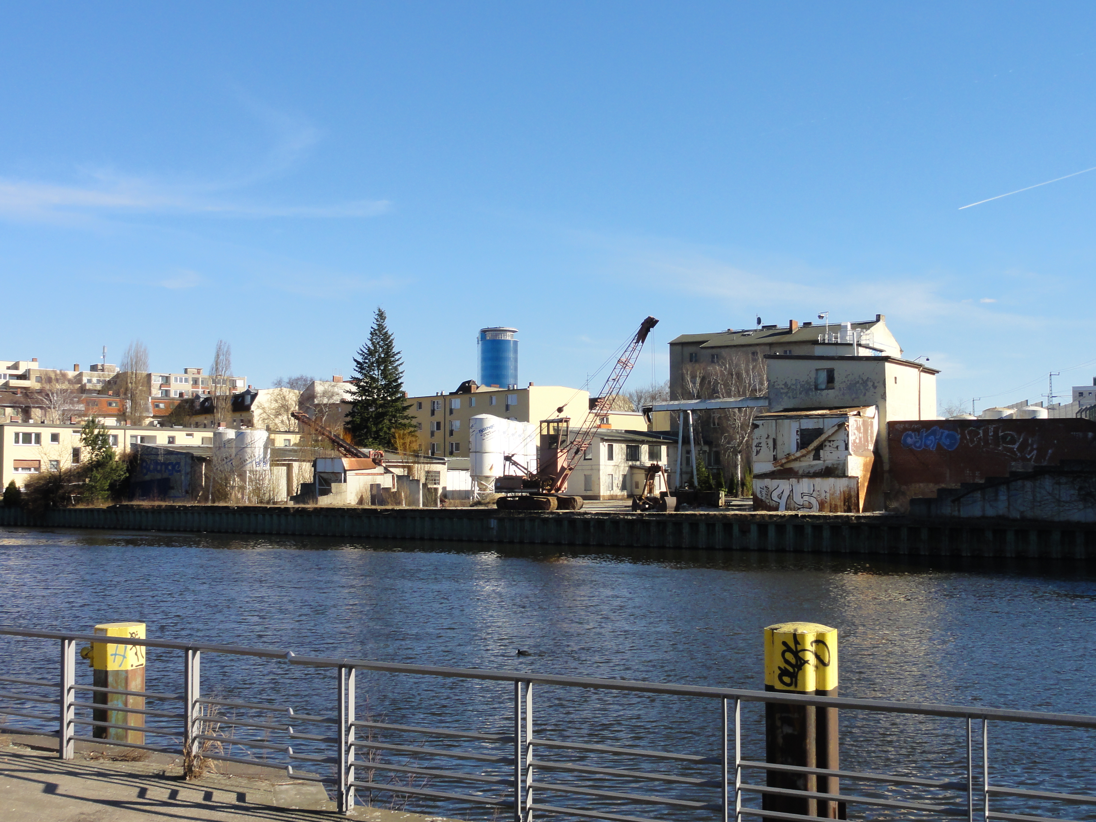
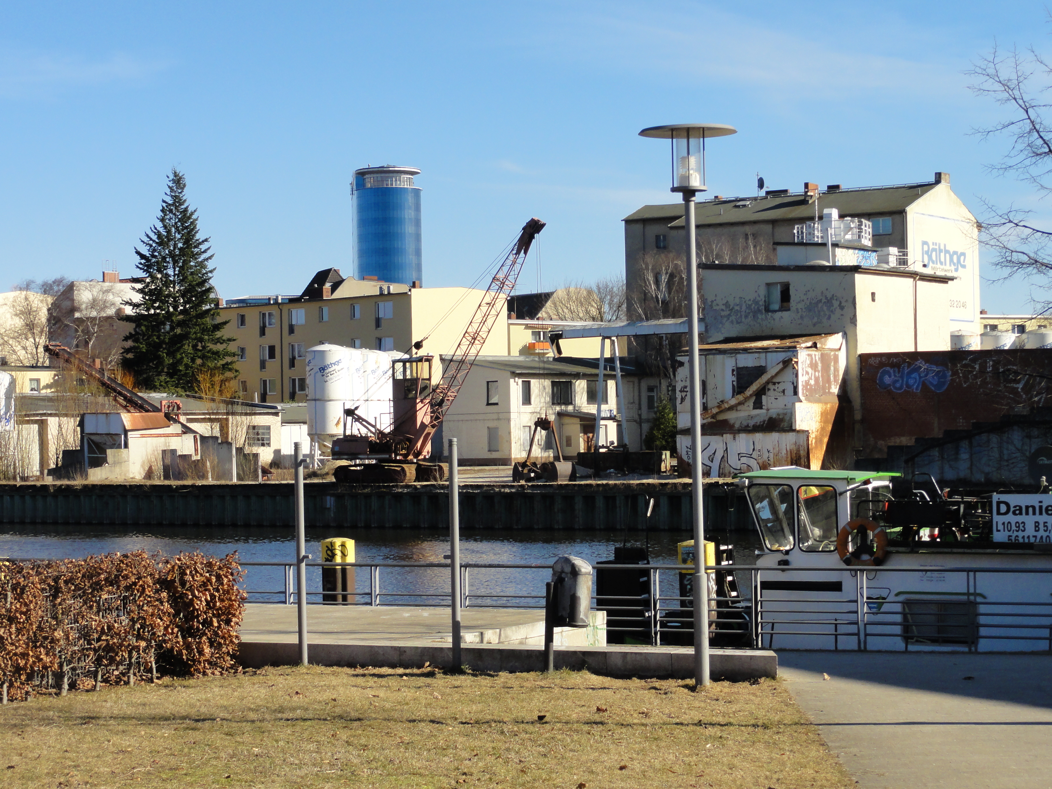
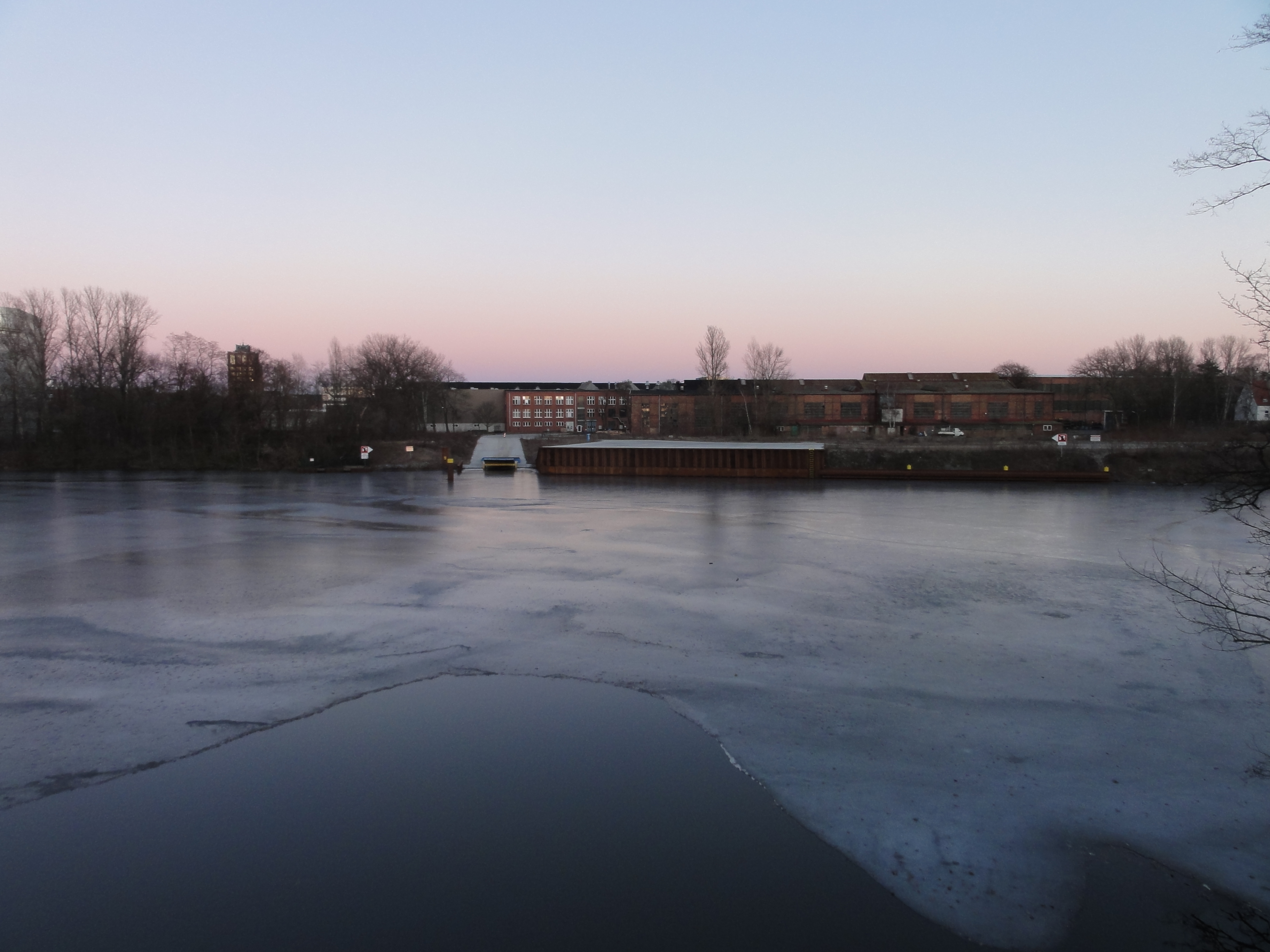
This is the old Borsig factory harbour:
|
|
2011:03:06 17:56:15
---
52 deg 34' 53.90" N, 13 deg 16' 29.98" E
111.25
°
©
ml
|
|
|
2011:03:06 17:56:00
---
52 deg 34' 53.71" N, 13 deg 16' 29.82" E
118.75
°
©
ml
|
|
|
2011:03:06 17:56:08
---
52 deg 34' 53.89" N, 13 deg 16' 30.08" E
93.75
°
©
ml
|
|
|
2011:03:06 17:57:11
---
52 deg 34' 53.94" N, 13 deg 16' 30.20" E
123.75
°
©
ml
|
|
|
2011:03:06 17:59:09
---
52 deg 34' 53.97" N, 13 deg 16' 30.14" E
221.5
°
©
ml
|
|
|
2011:03:06 17:57:27
---
52 deg 34' 53.90" N, 13 deg 16' 29.98" E
149.75
°
©
ml
|
back to photos' home / zurück zur Photo-Übersicht
back to tours' home / zurück zur ersten Tour
markuslepper.eu
2011-07-29_21h15


produced with
eu.bandm.metatools.d2d
and
XSLT
FYI view
page source text