
 141.25
°
©
ml
141.25
°
©
ml
June / July 2011: Schwarzwald, Feldberg, Belchen
1
Staying in Eglisau
2
From Feldberg to Muggenbrunn
3
From Schauinsland to the Belchen
4
At the banks of the Rhine
back to photos' home / zurück zur Photo-Übersicht
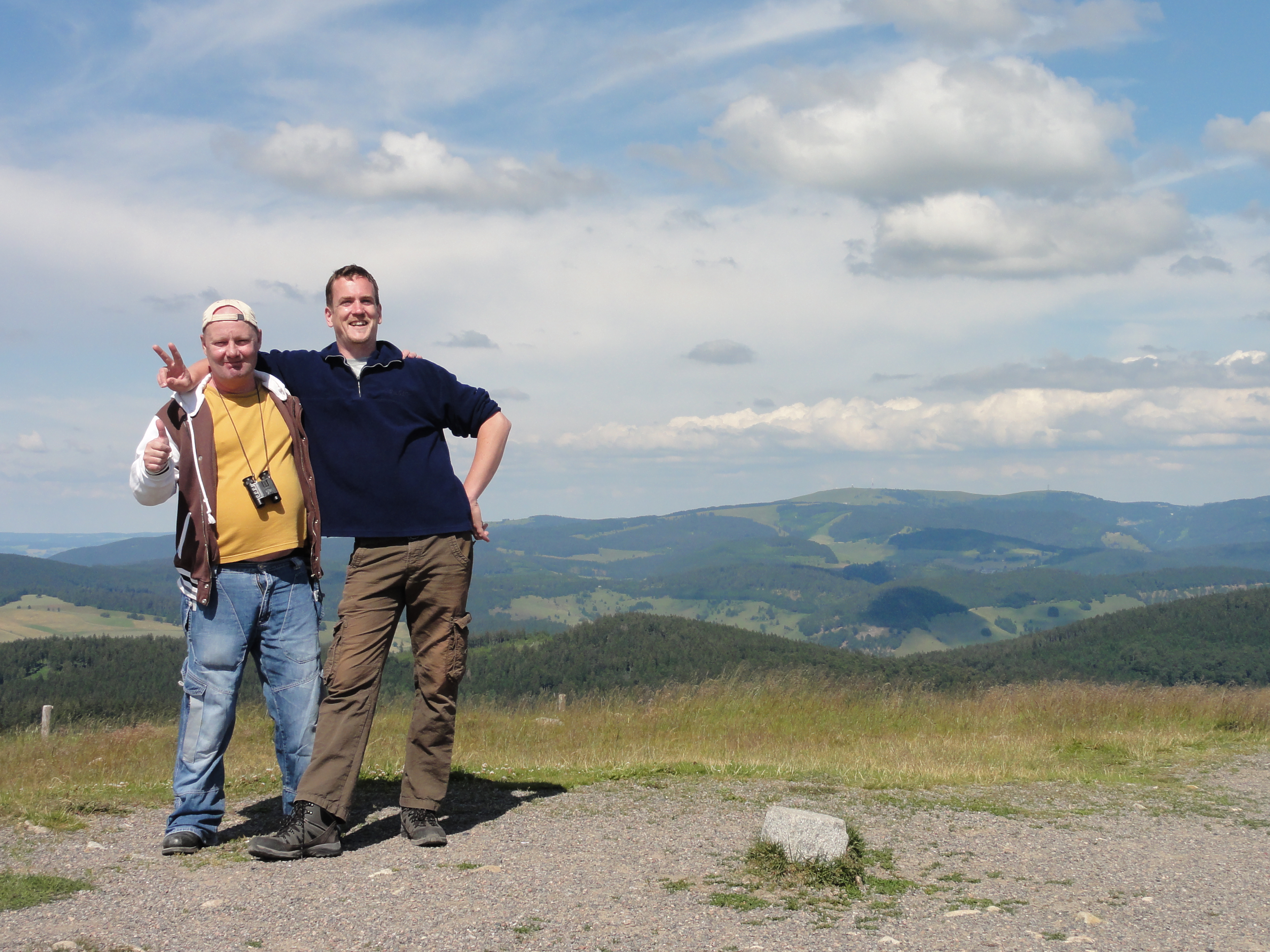
End of june there was my second conference this year, and another possibility to have three(3) days of holiday!
The conference had been in Zürich and was rather successful.
I stayed in EGLISAU, because (1) I wanted some fresh air, (2)
it's much cheaper there, and (3) you get in touch with the aborigines
when traveling early in the morning with the S-Bahn!
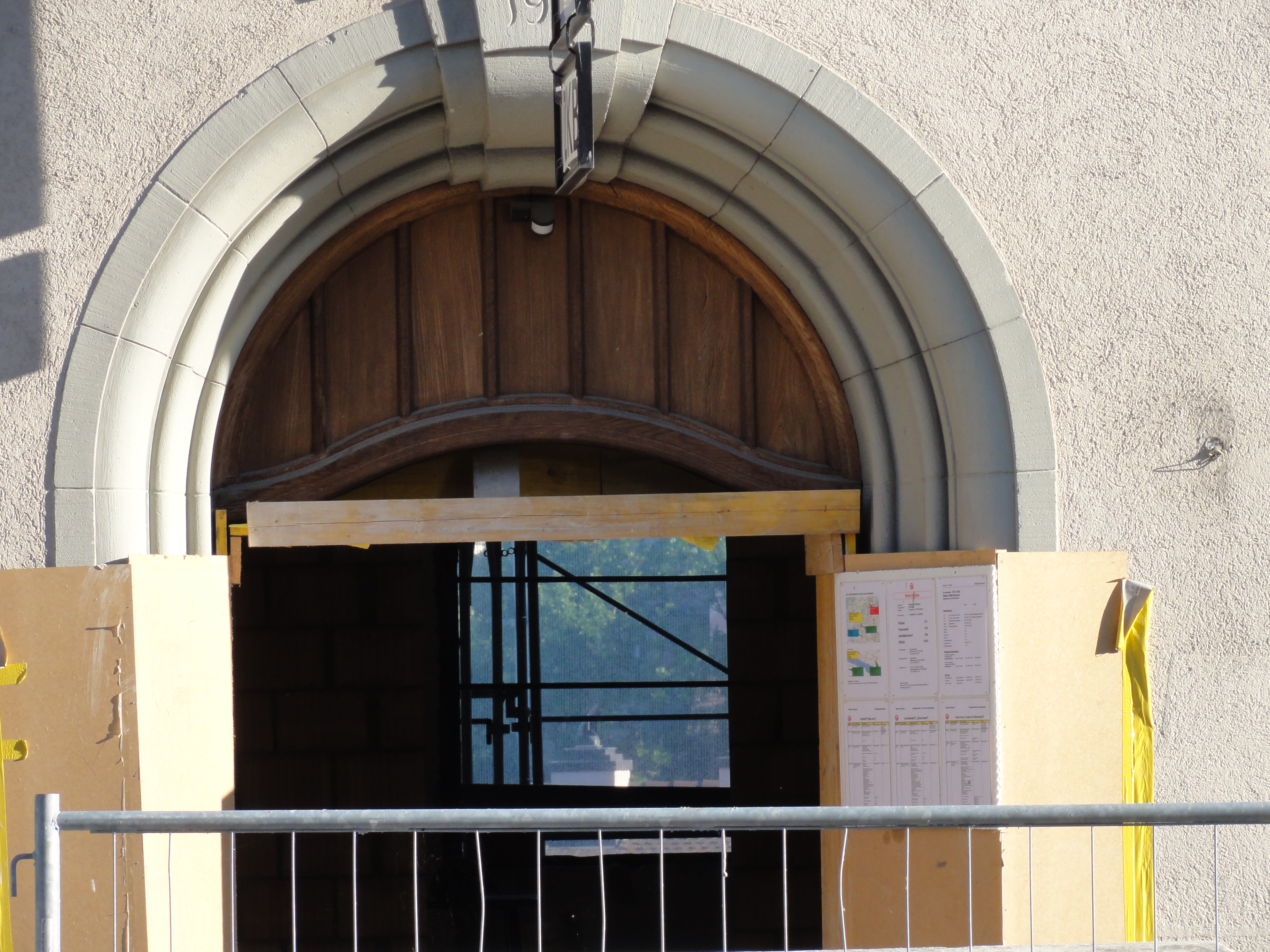
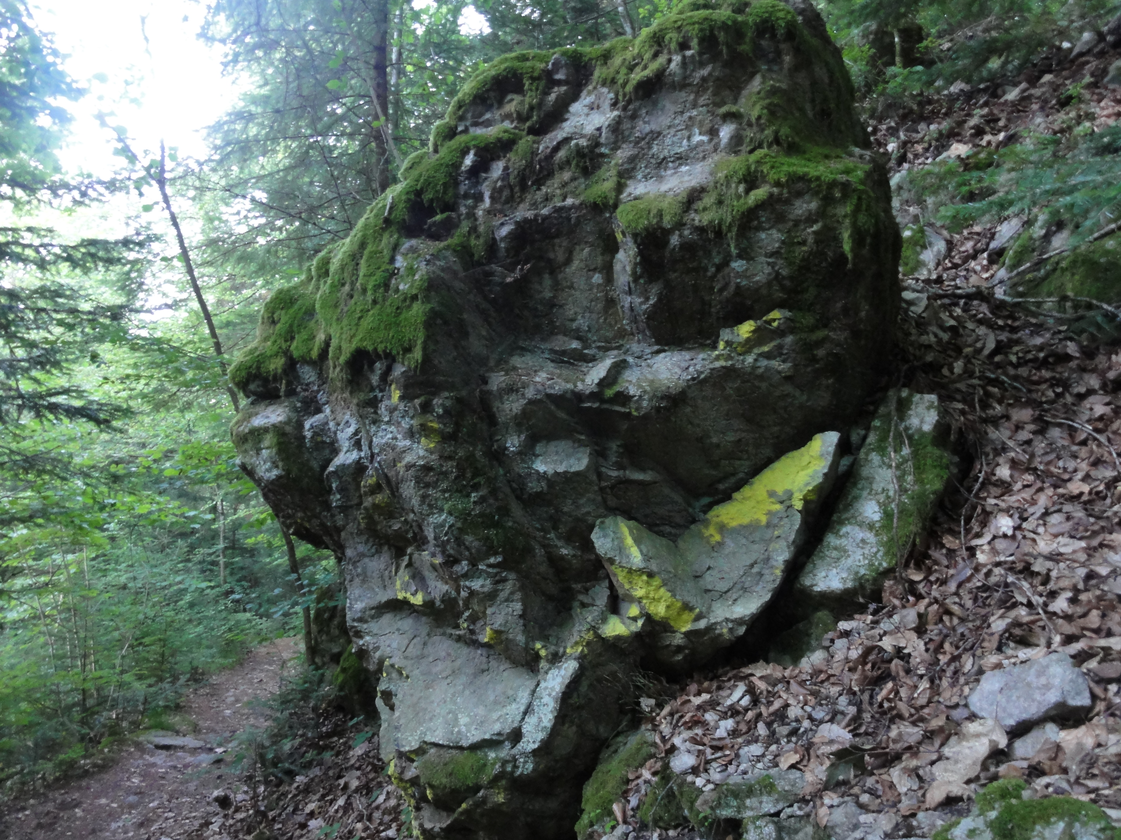
There I found this nice BAUL_CKE. It's a typical Swizzerian BANK, of course:
|
|
|
2011:06:26 18:31:38
---
141.25
°
©
ml
|
Okay, it's not a REAL gap, because the building is still there, but it IS a construction area, and the following VIEW will soon vanish:
|
|
2011:06:26 18:31:51
---
147.25
°
©
ml
|
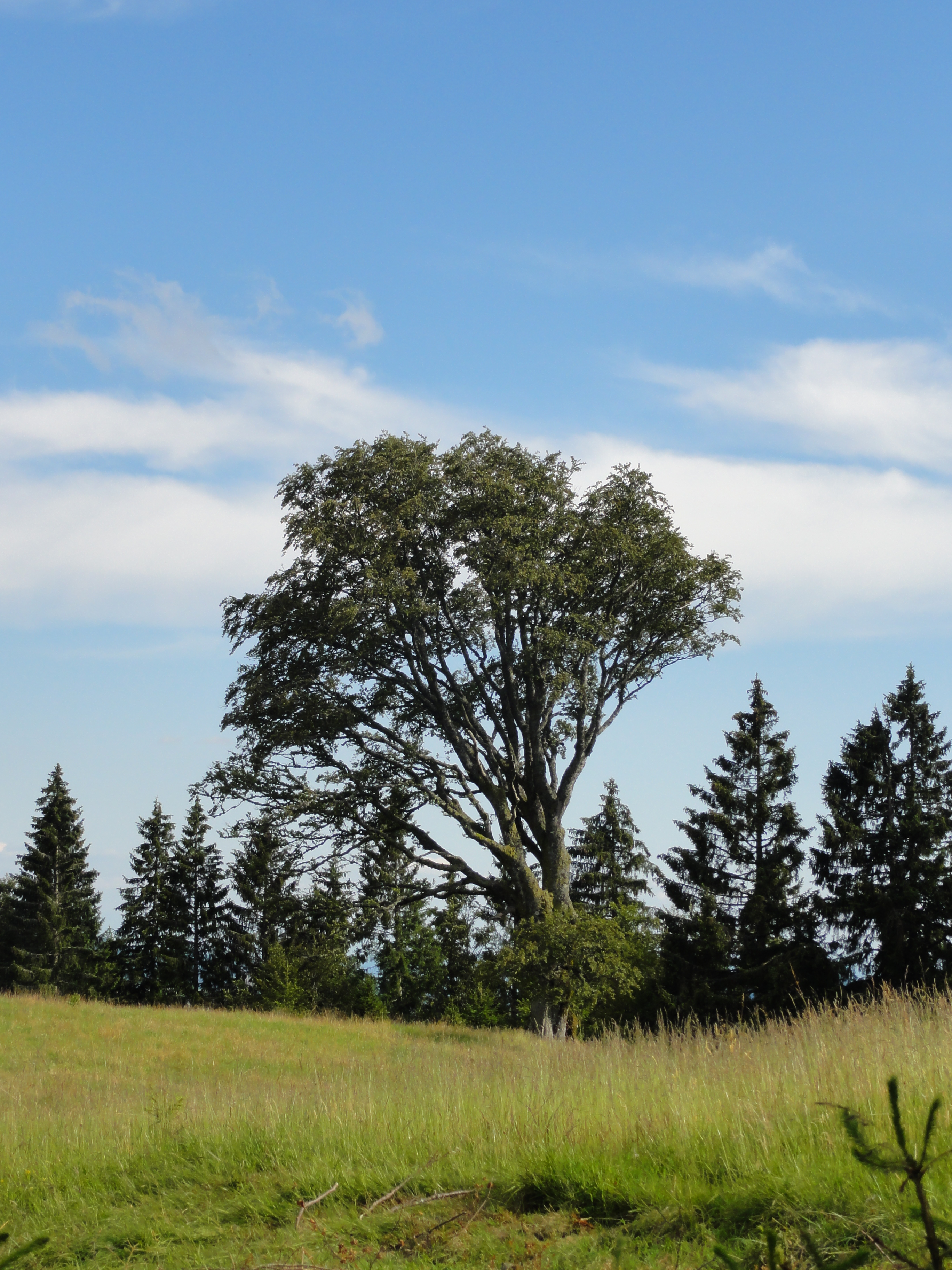
So I documented!
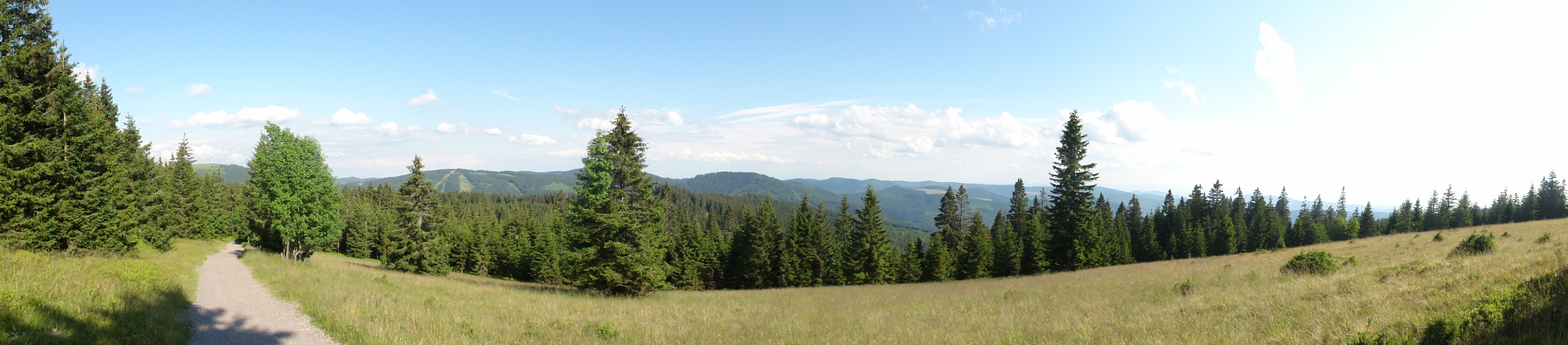
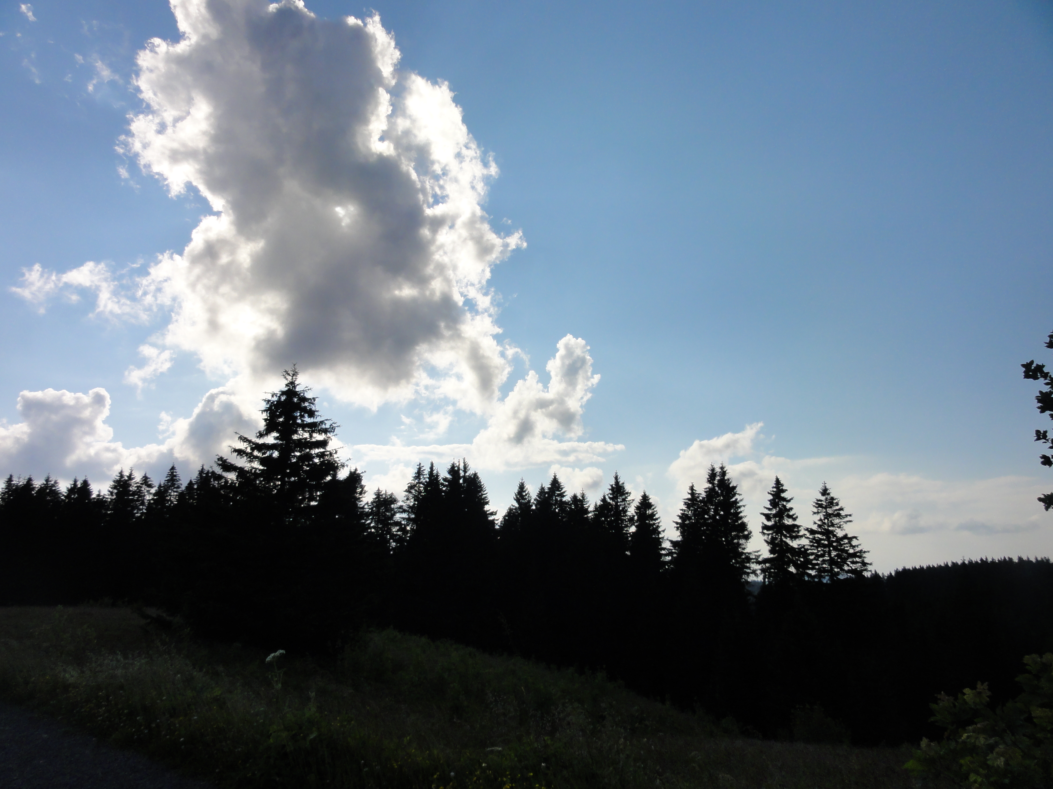
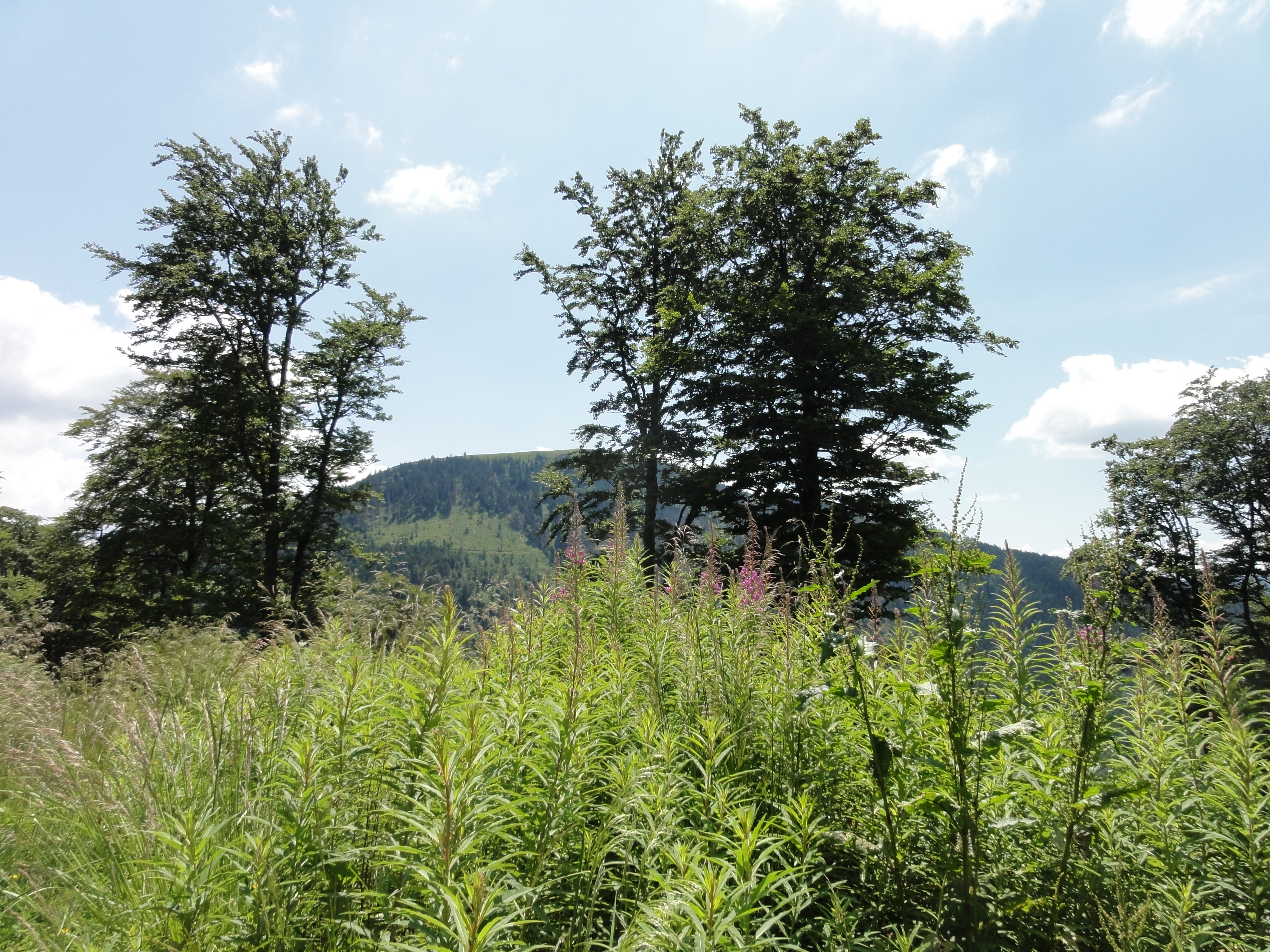
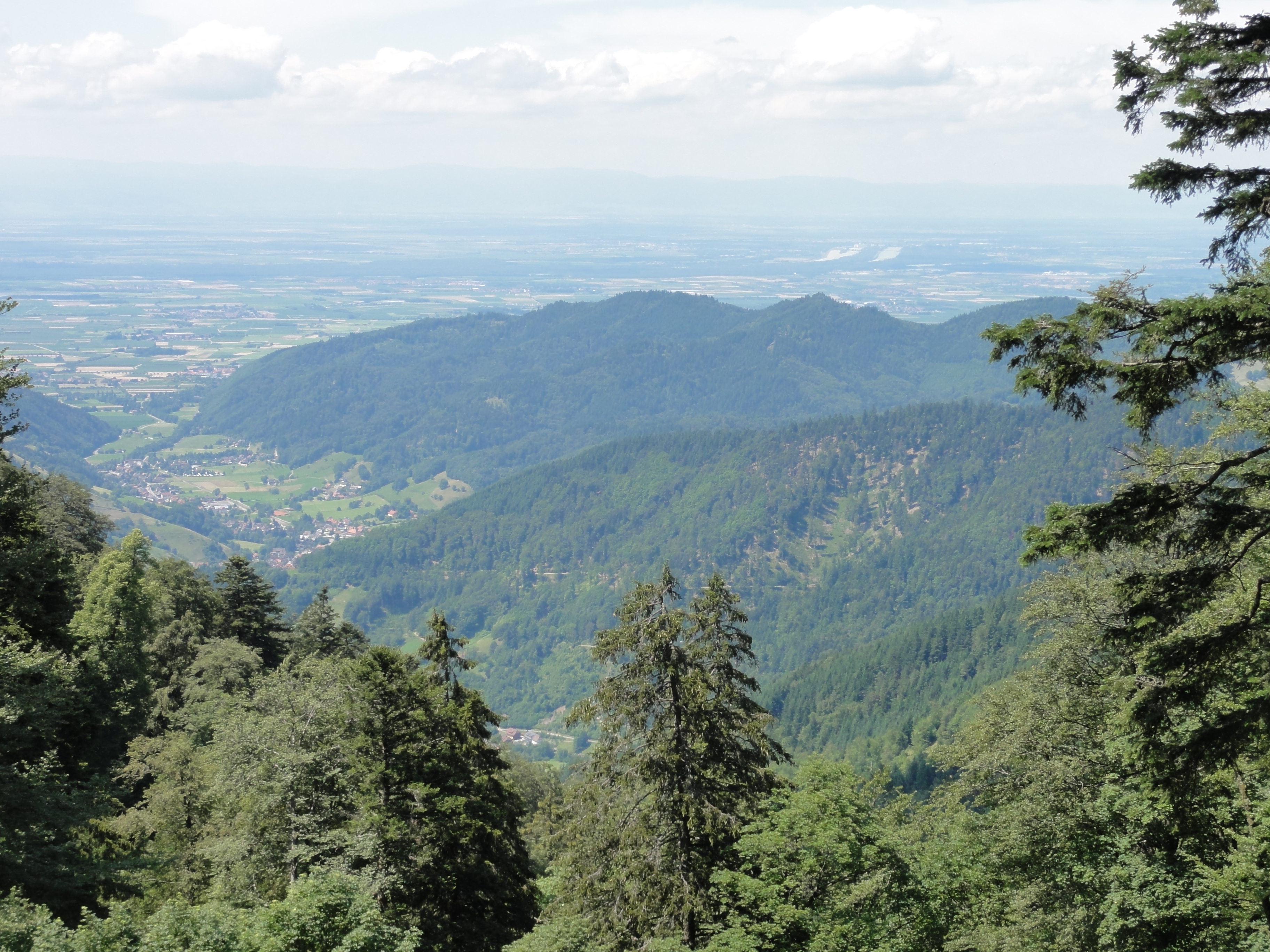
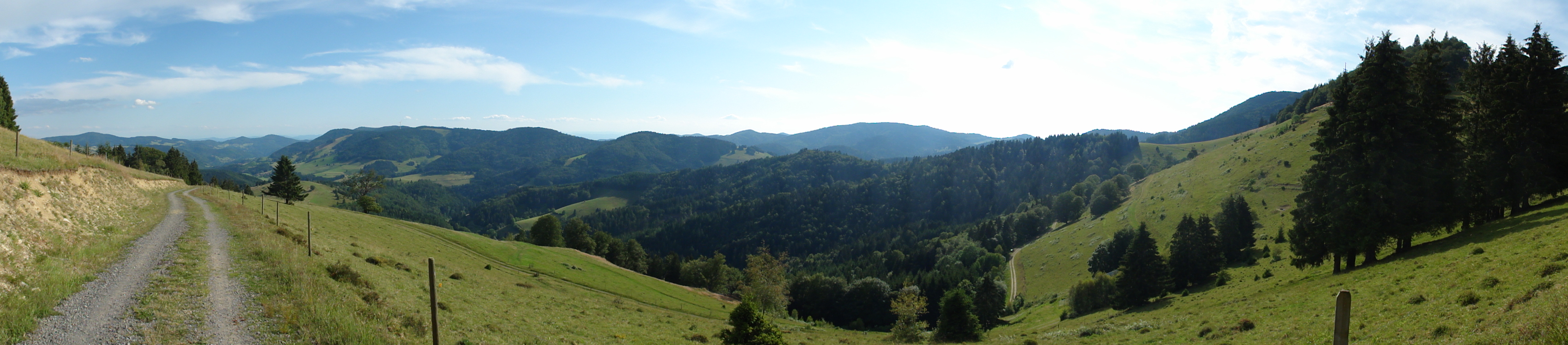
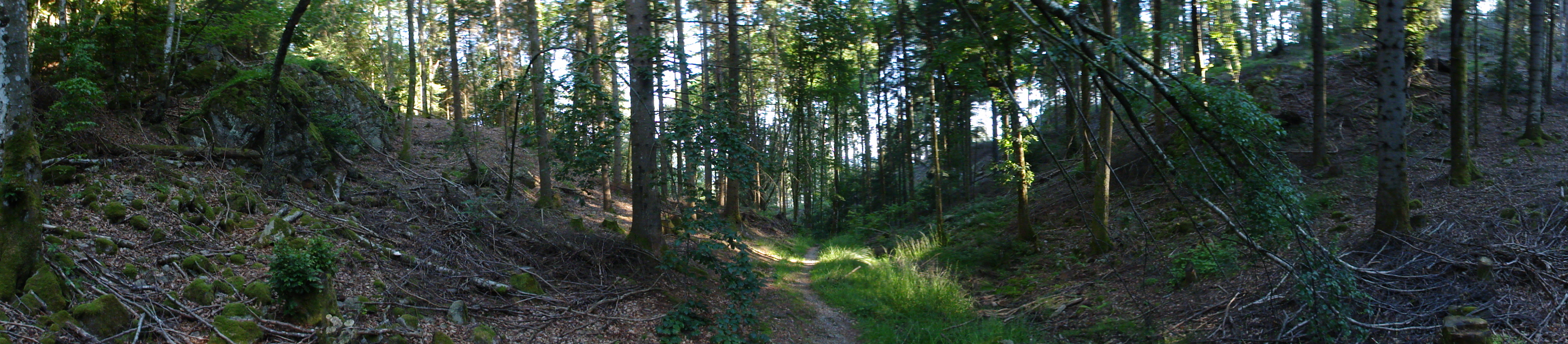
After the conference I visited my cousin in Basel, and together we hiked through the southern Schwarzwald. (speak: "Black Forest"). The southern Schwarzwald is very different to its north, and it is not black at all!
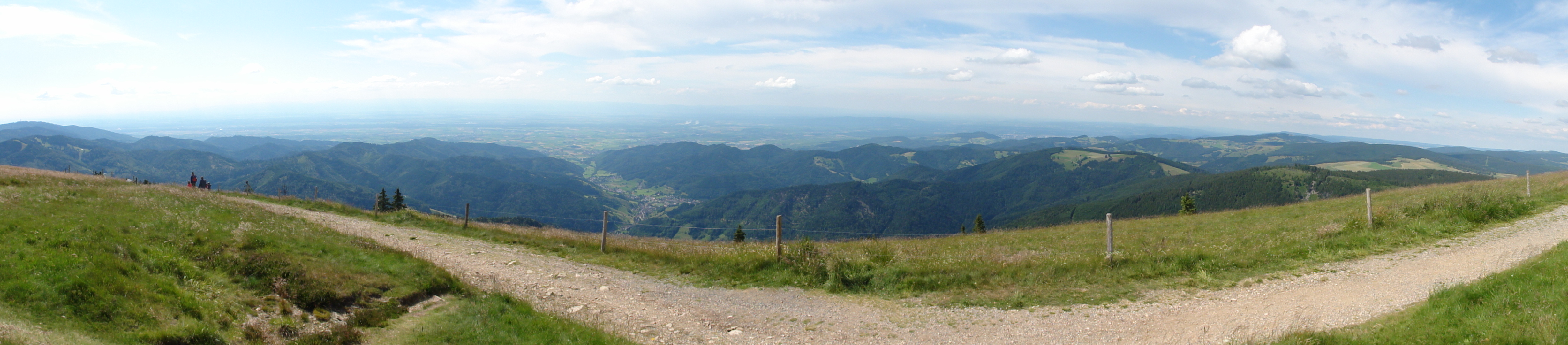
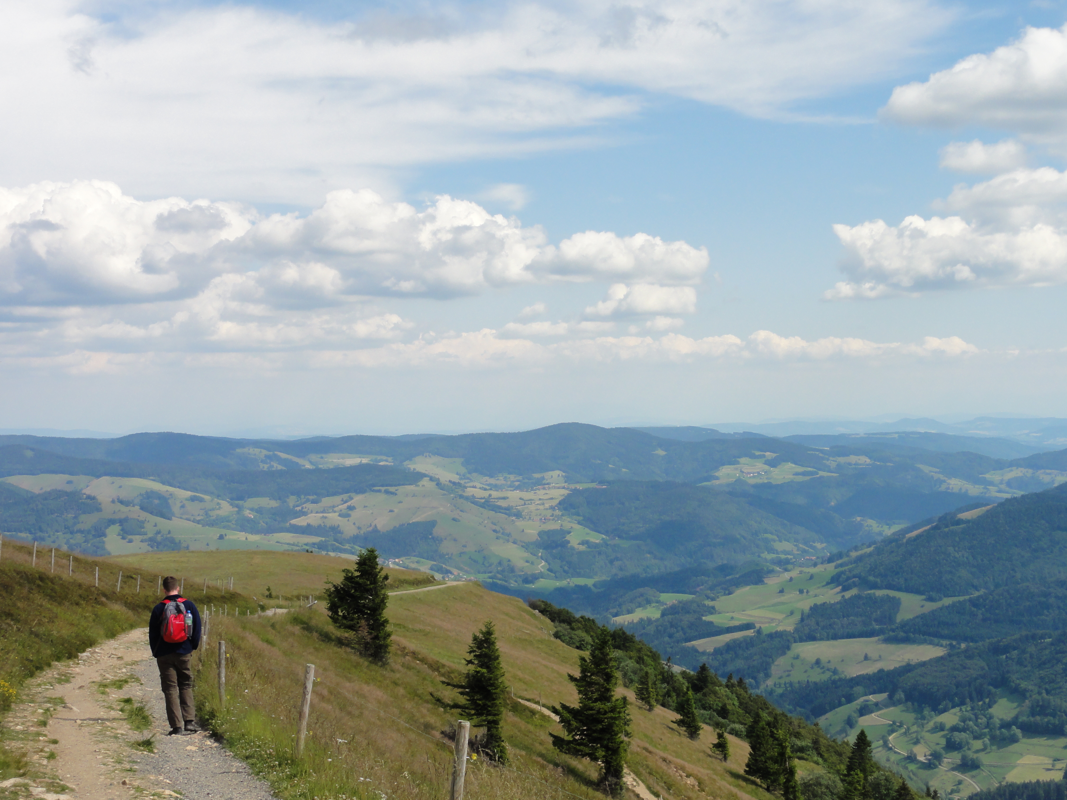
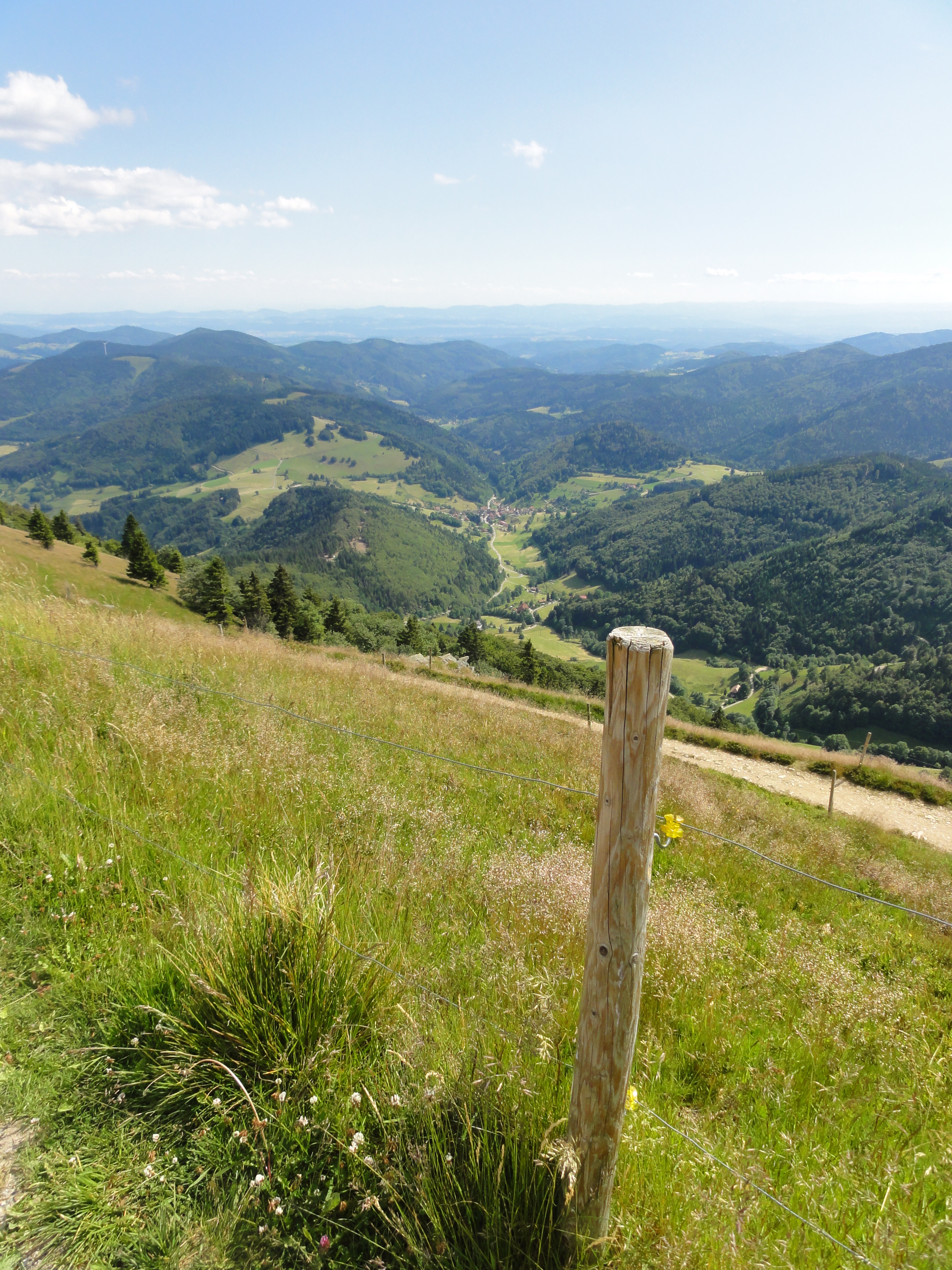
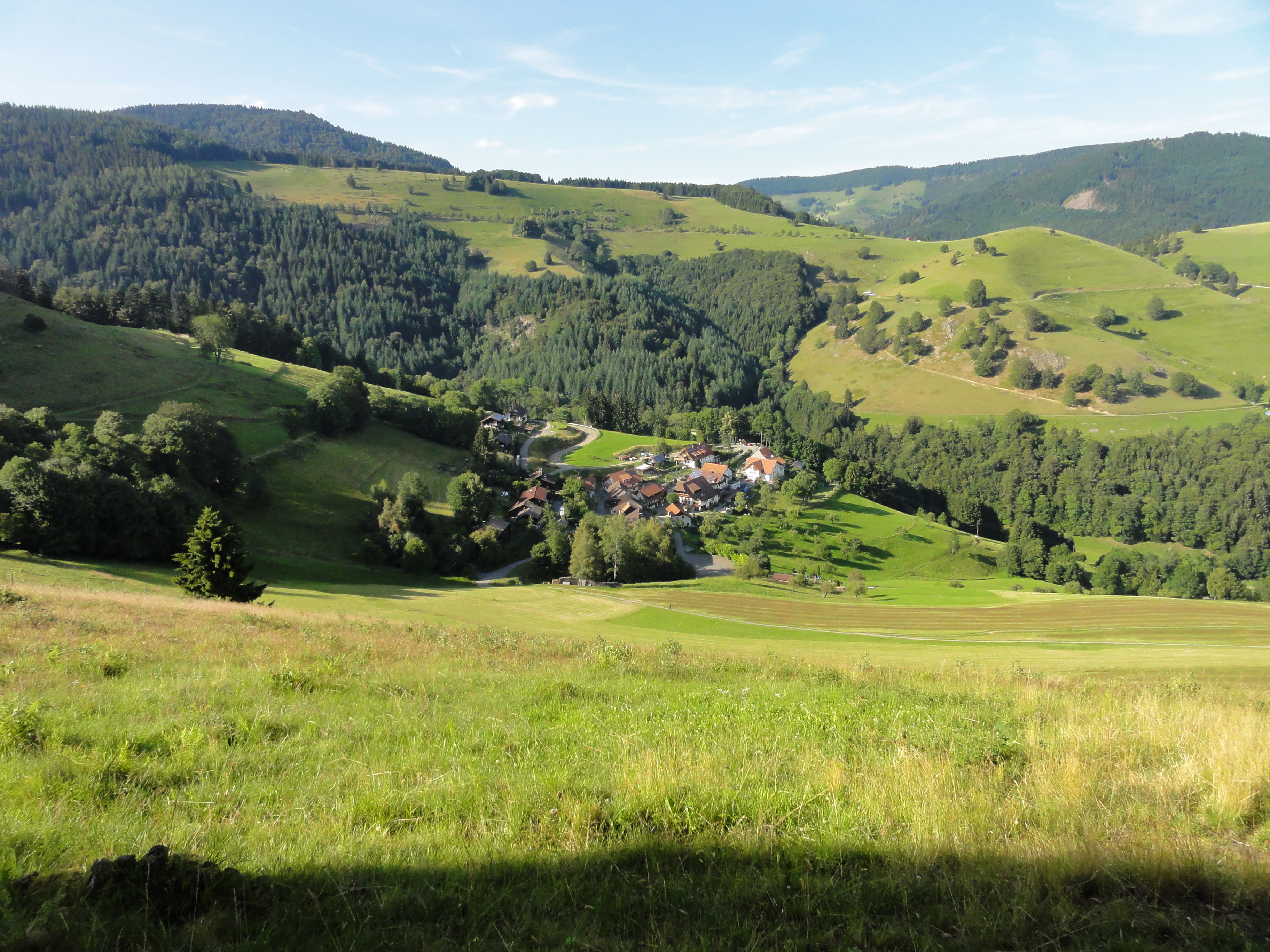
First day we went by car to Schönau, then by bus to Todtnau-Fahl. There we climbed up to Feldberg village, using a meadow which in winter is a skiing piste. Then up to the summit, on "normal" trails, much less challenging.
I started taking photos not before we reached the Feldberg summit, because climbing was too exhausting! (Plase take into accoutn that the highest mountains we are used to in Berlin have about hundred meters!-) So this is after the Feldberg summit, going down to Muggenbrunn, where we spent the first night in the Hotel "Grüner Baum".
|
2011:07:01 16:29:01
---
 46.5
°
©
ml
46.5
°
©
ml
|
|
2011:07:01 16:28:45
---
 36.25
°
©
ml
36.25
°
©
ml
|
|
2011:07:01 16:29:32
---
 332.75
°
©
ml
332.75
°
©
ml
|

|
|
2011:07:01 16:30:27
---
47 deg 52' 3.60" N, 7 deg 59' 22.60" E
321
°
©
ml
|
|
| --- © ml |
|
2011:07:01 16:33:32
---
47 deg 52' 3.74" N, 7 deg 59' 21.34" E
 345.5
°
©
ml
345.5
°
©
ml
|
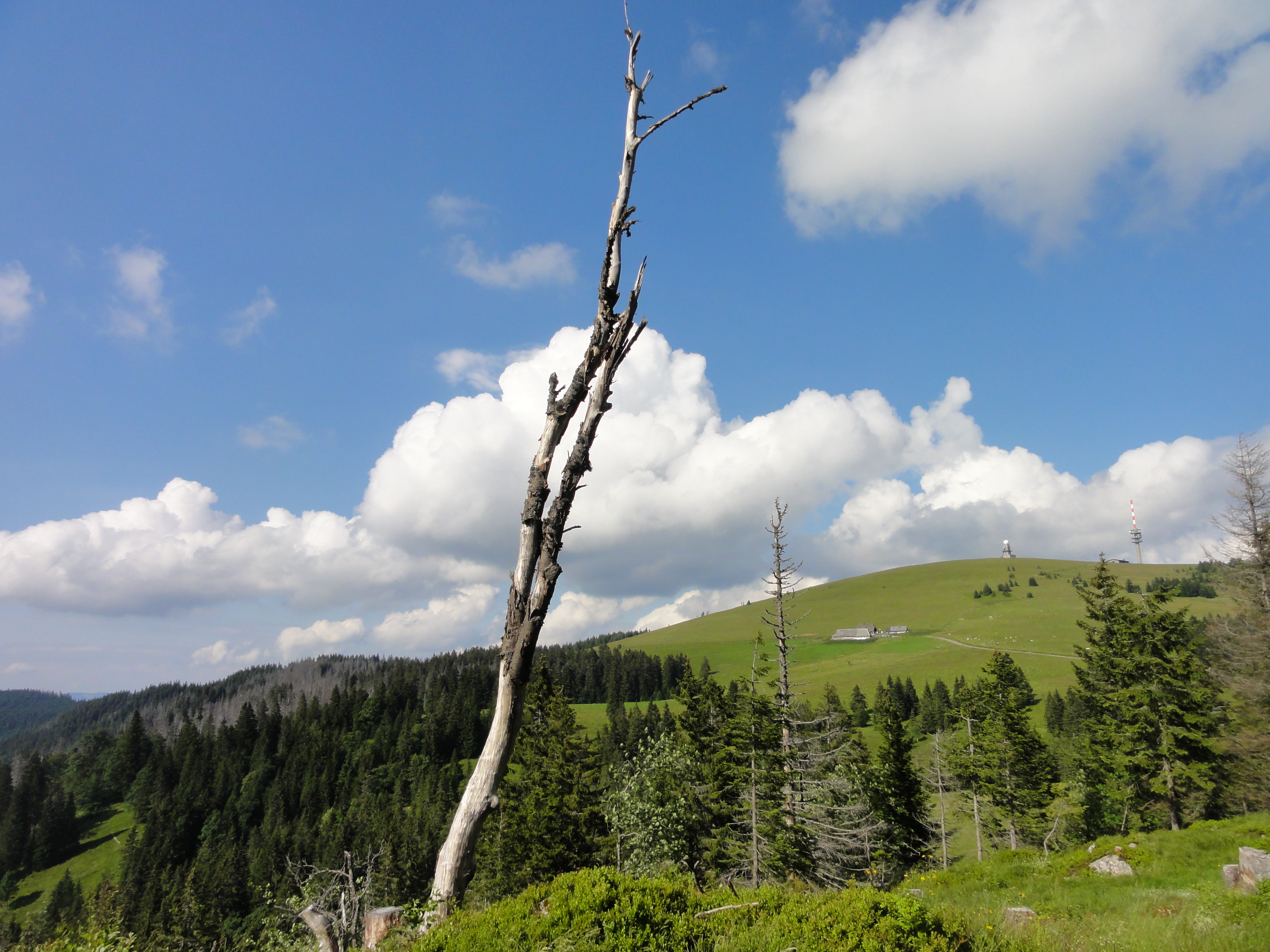
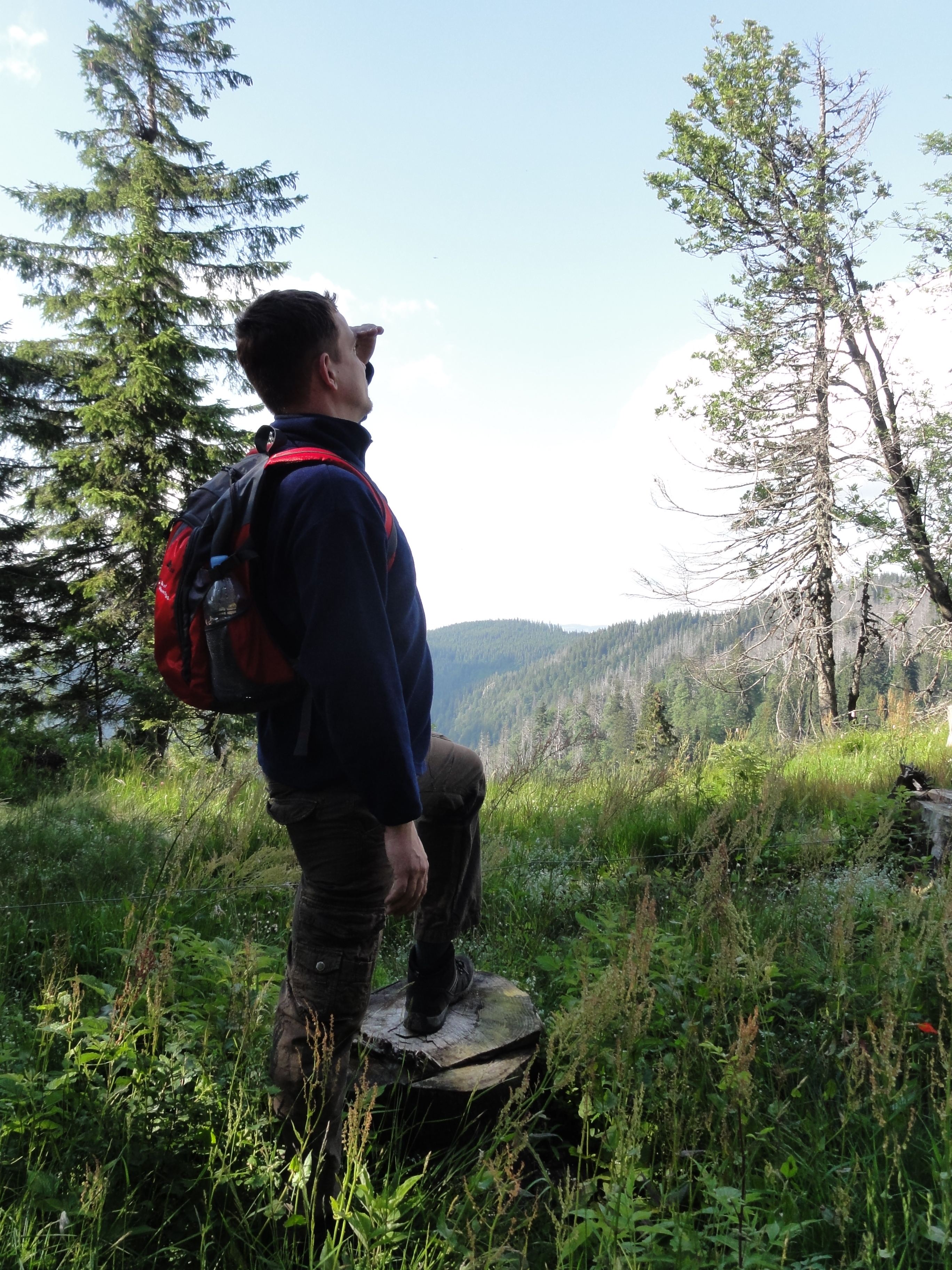
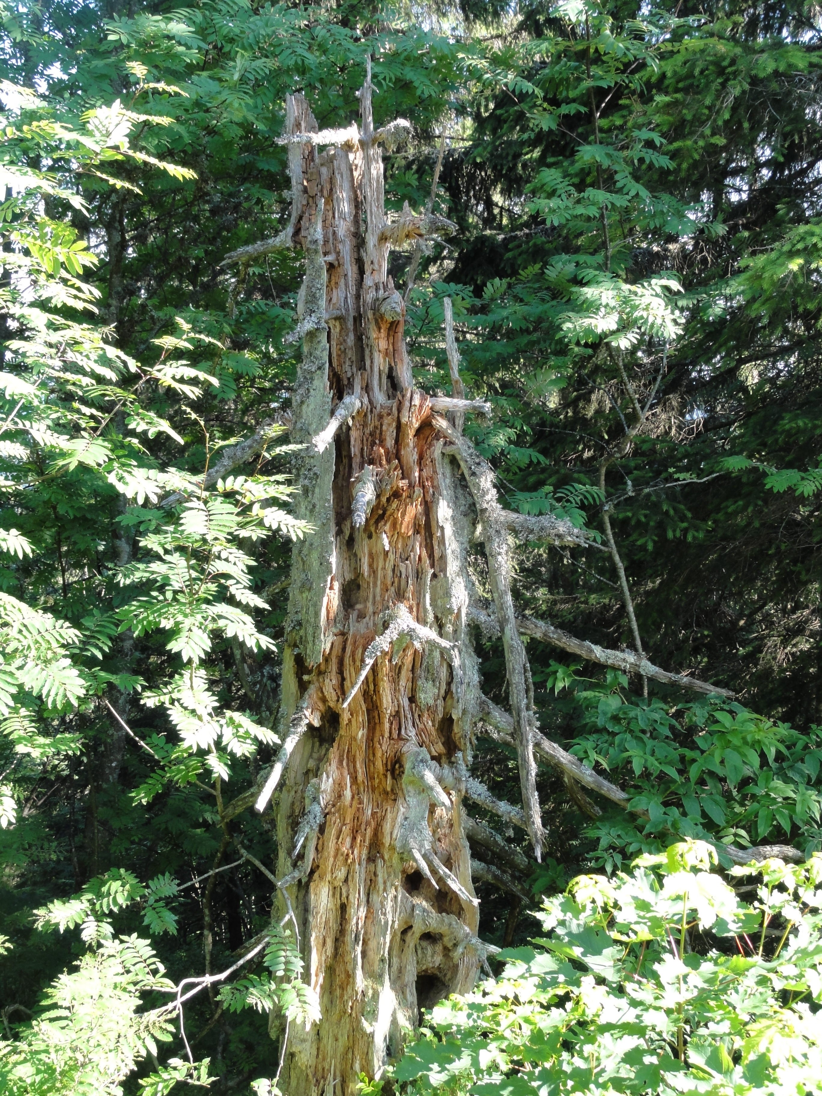
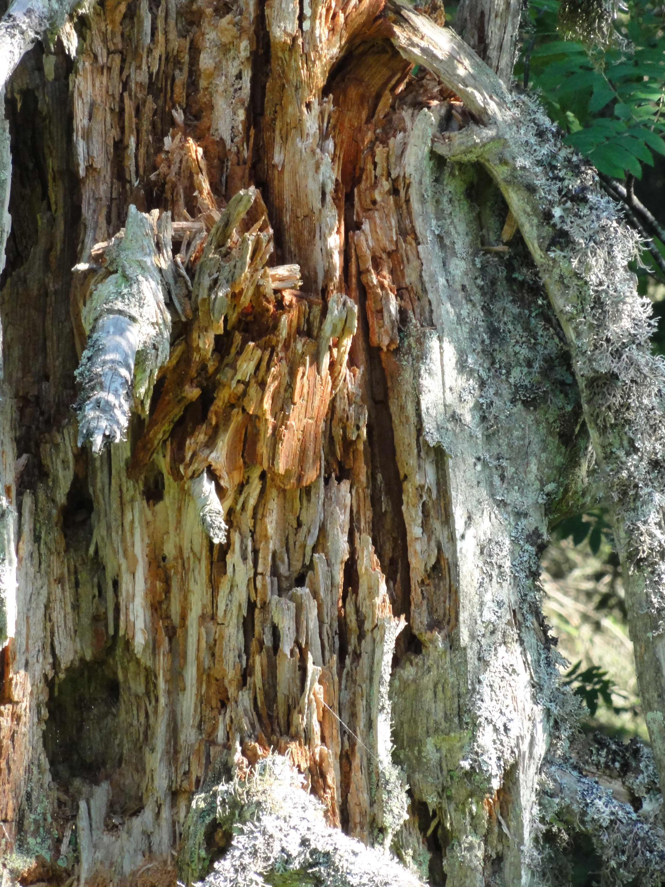
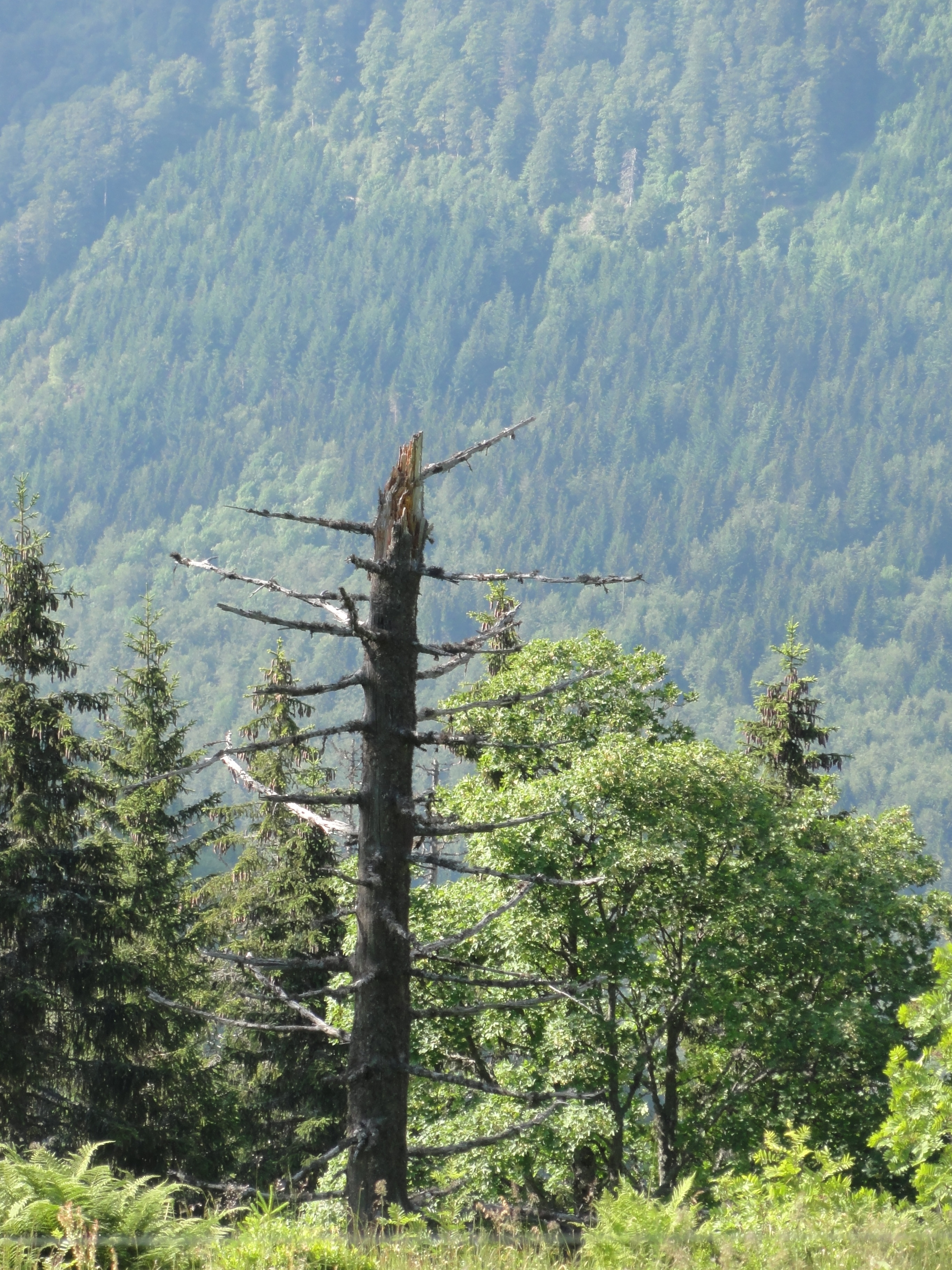
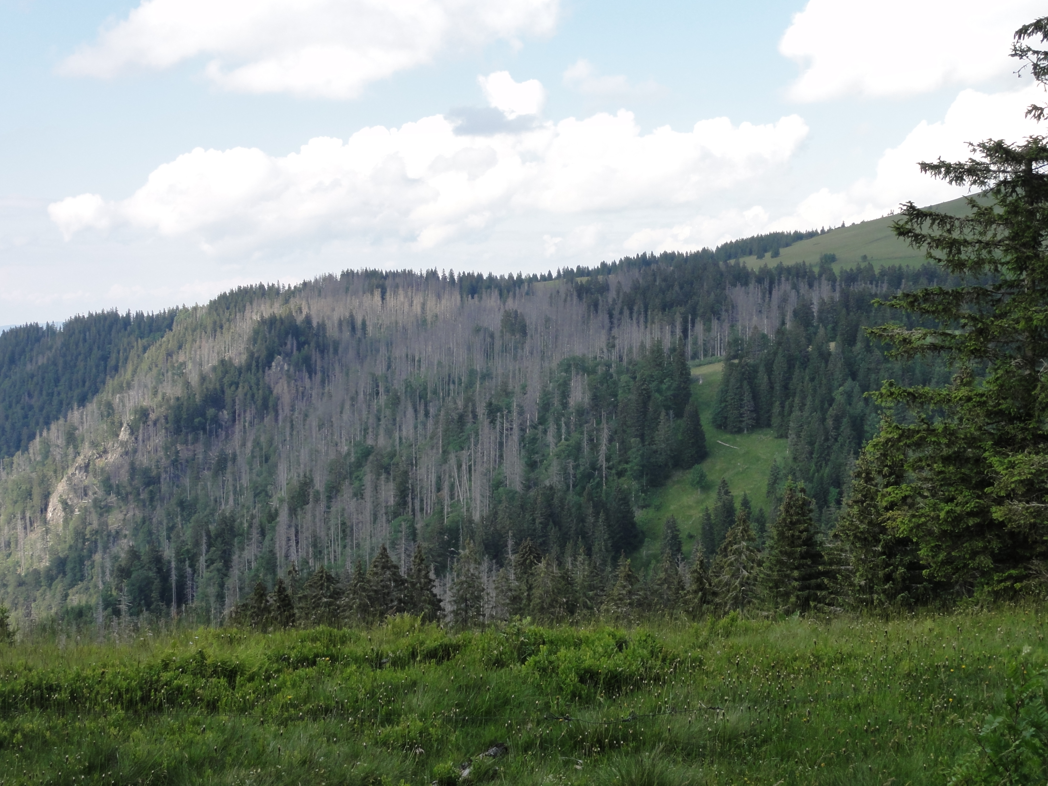
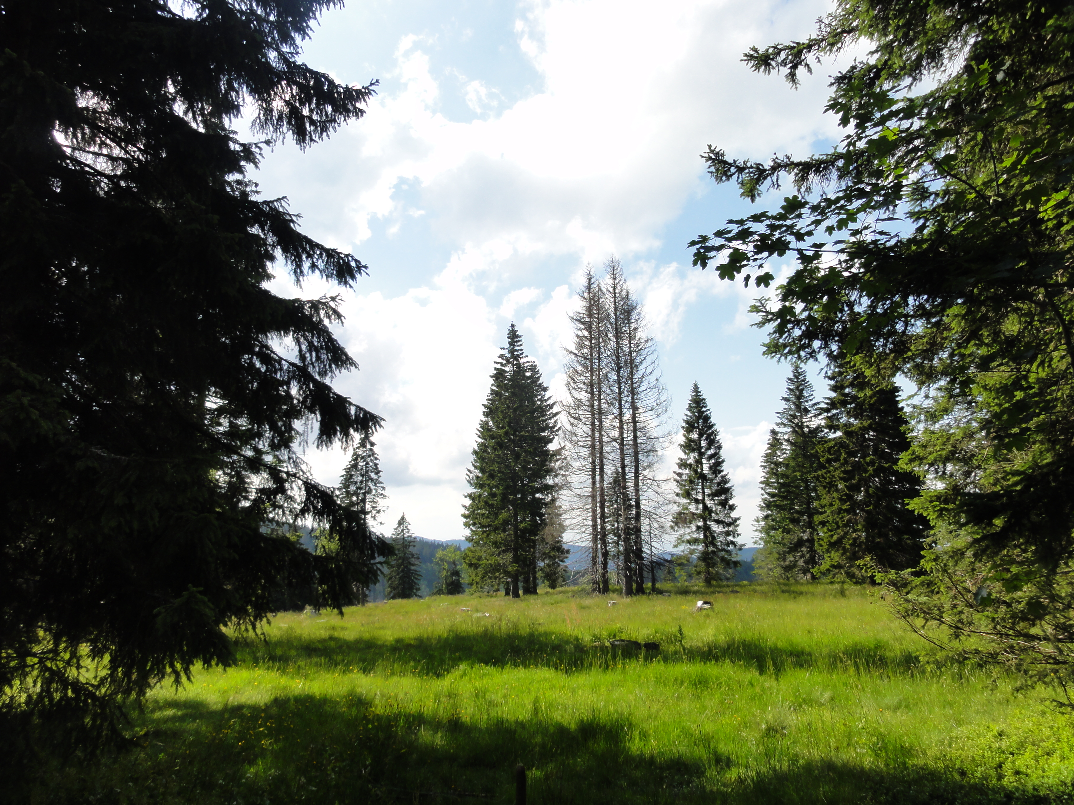
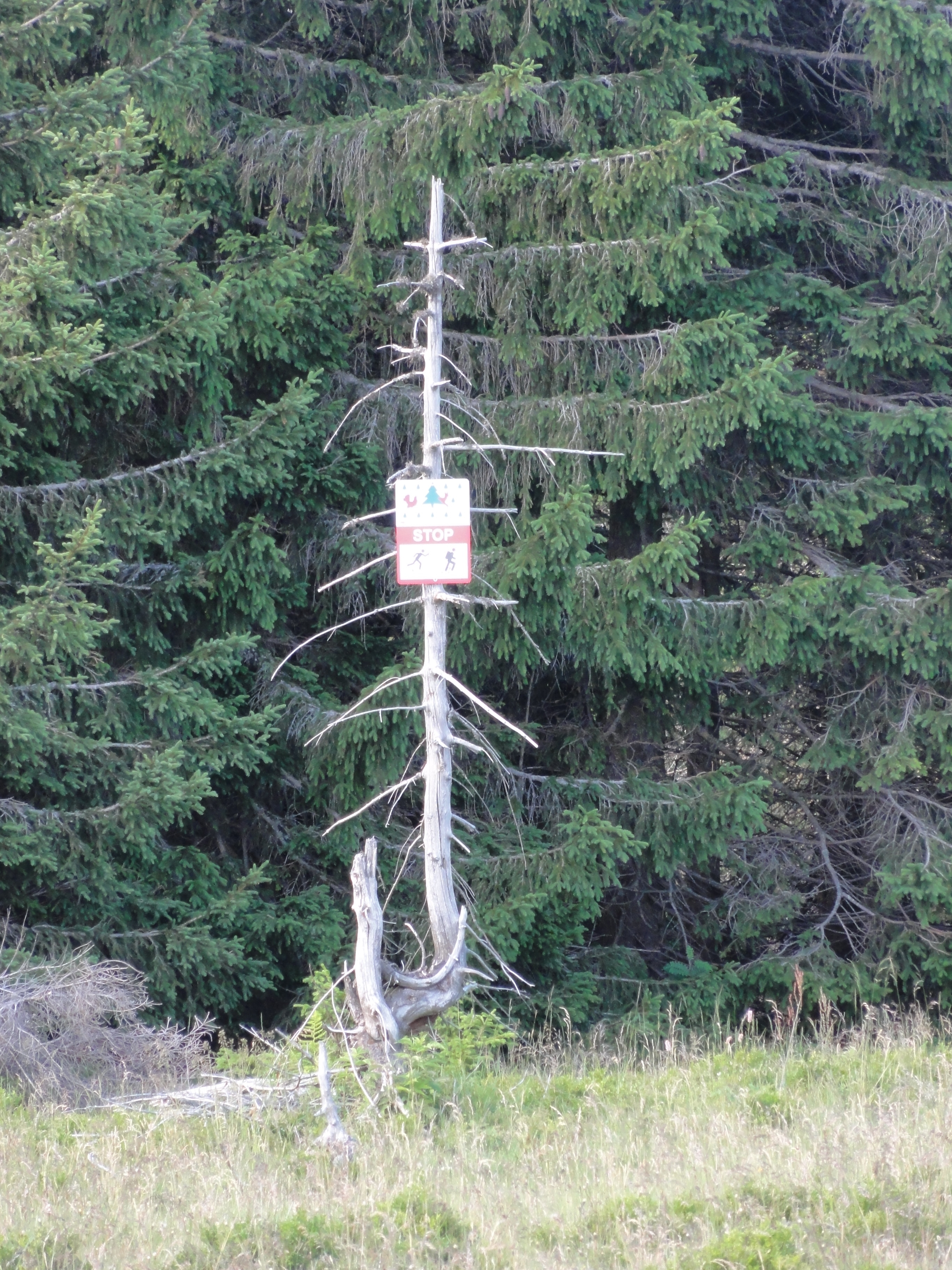
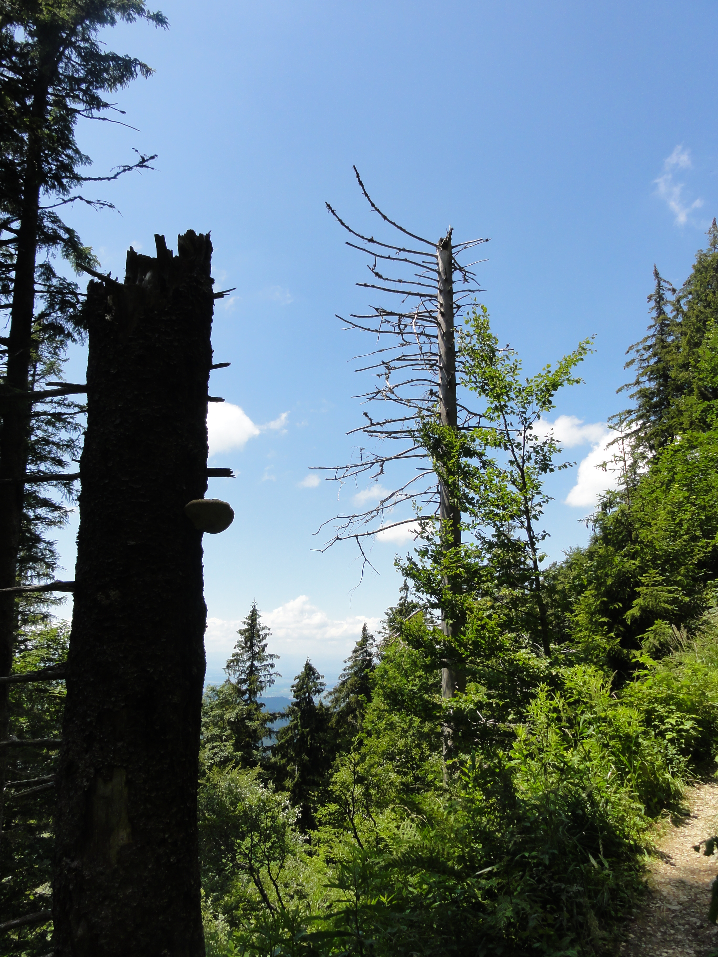
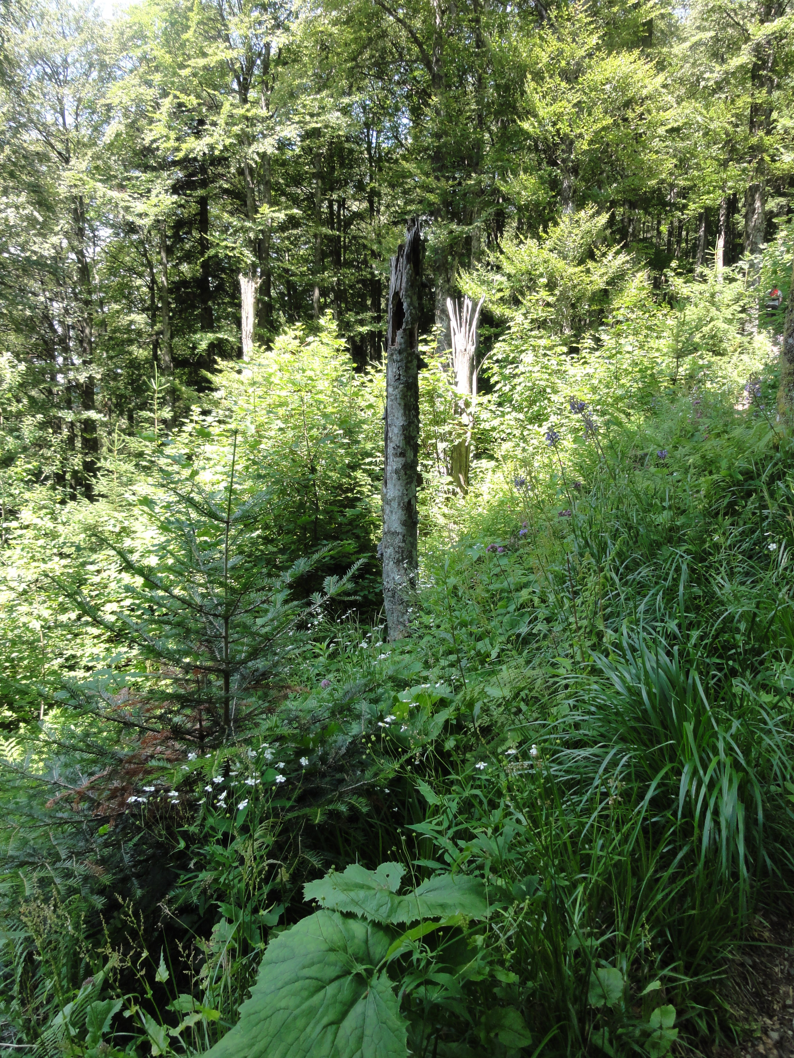
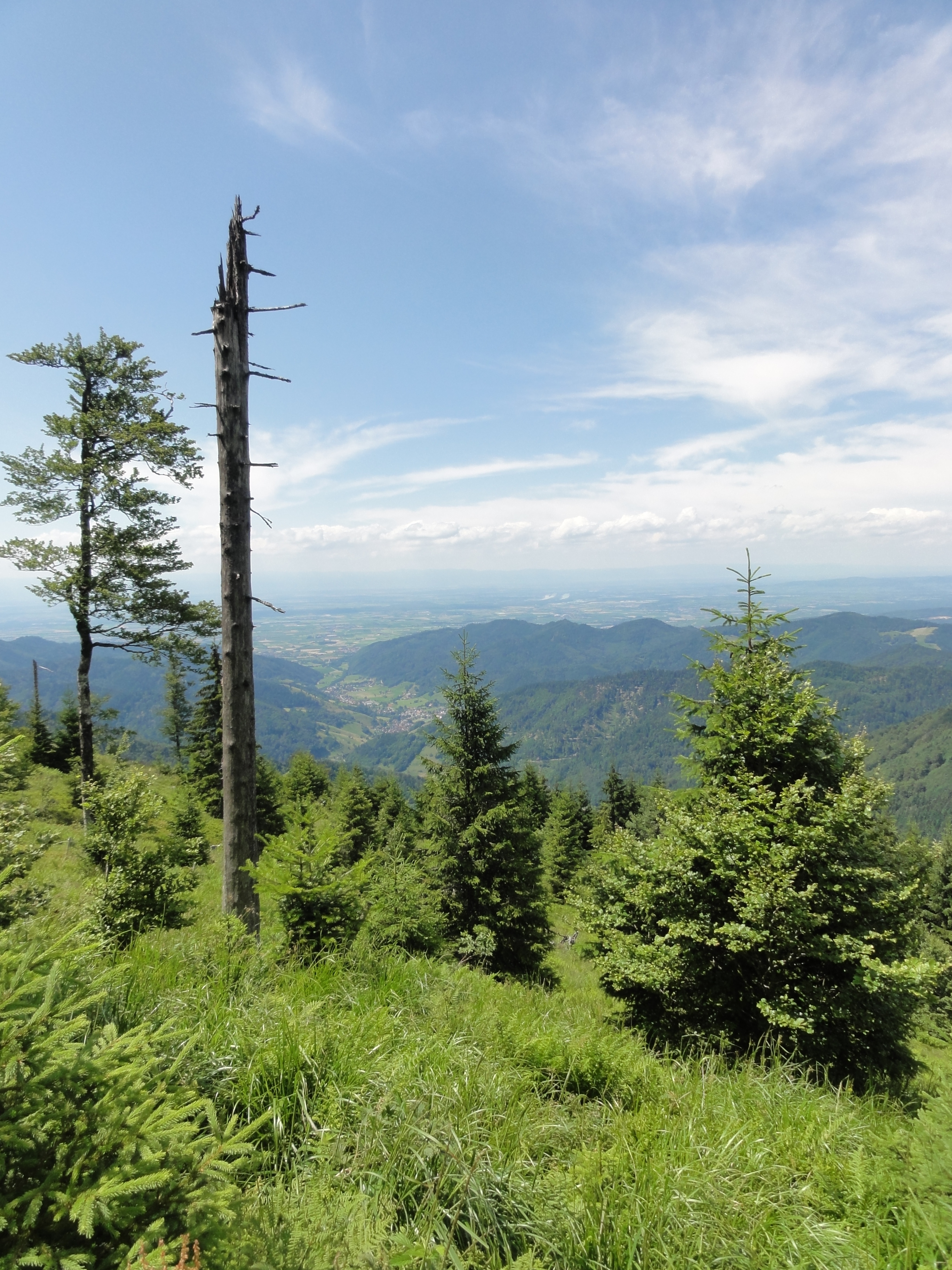
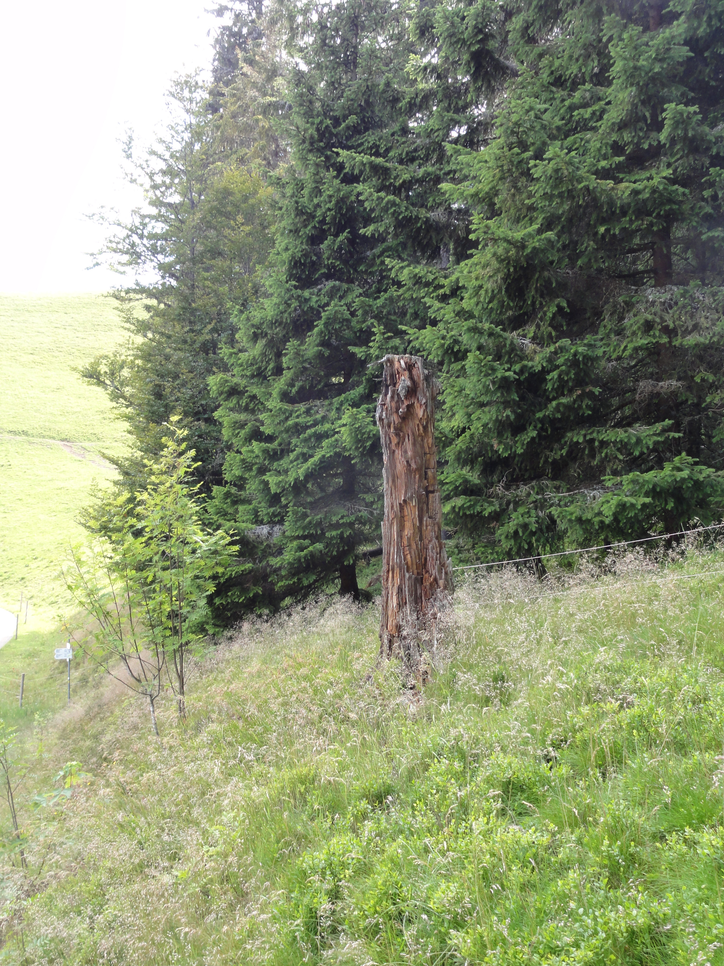
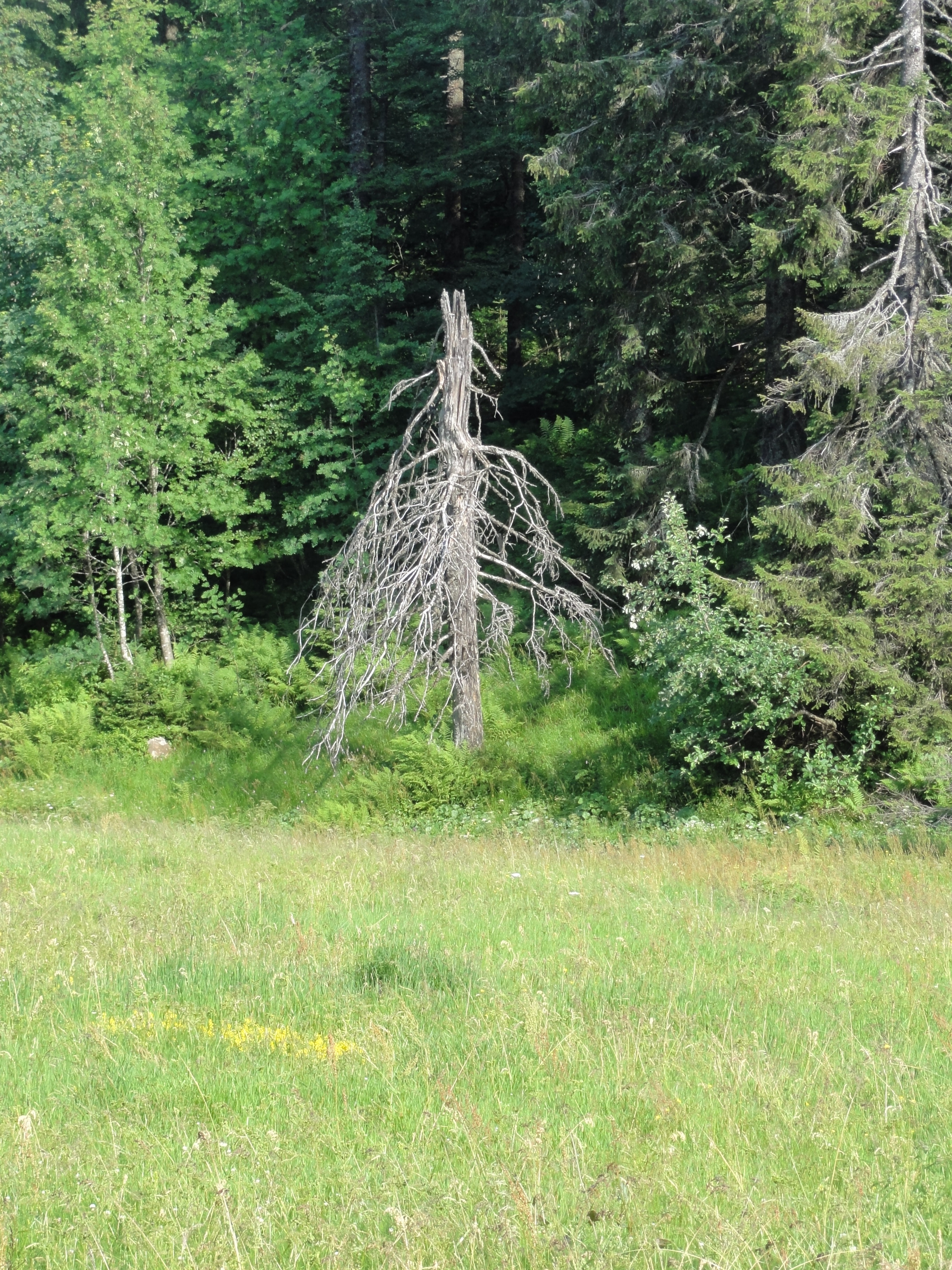
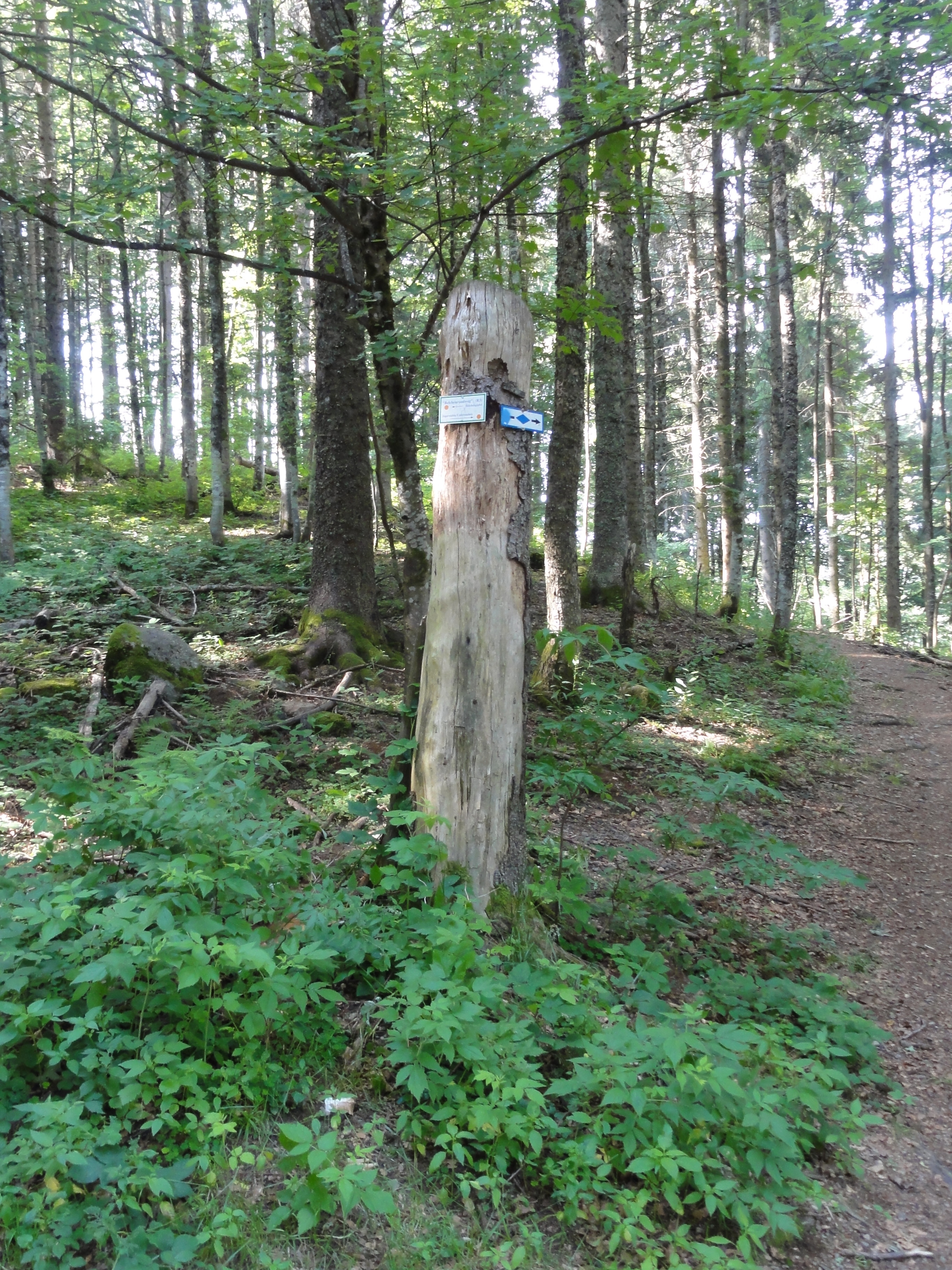
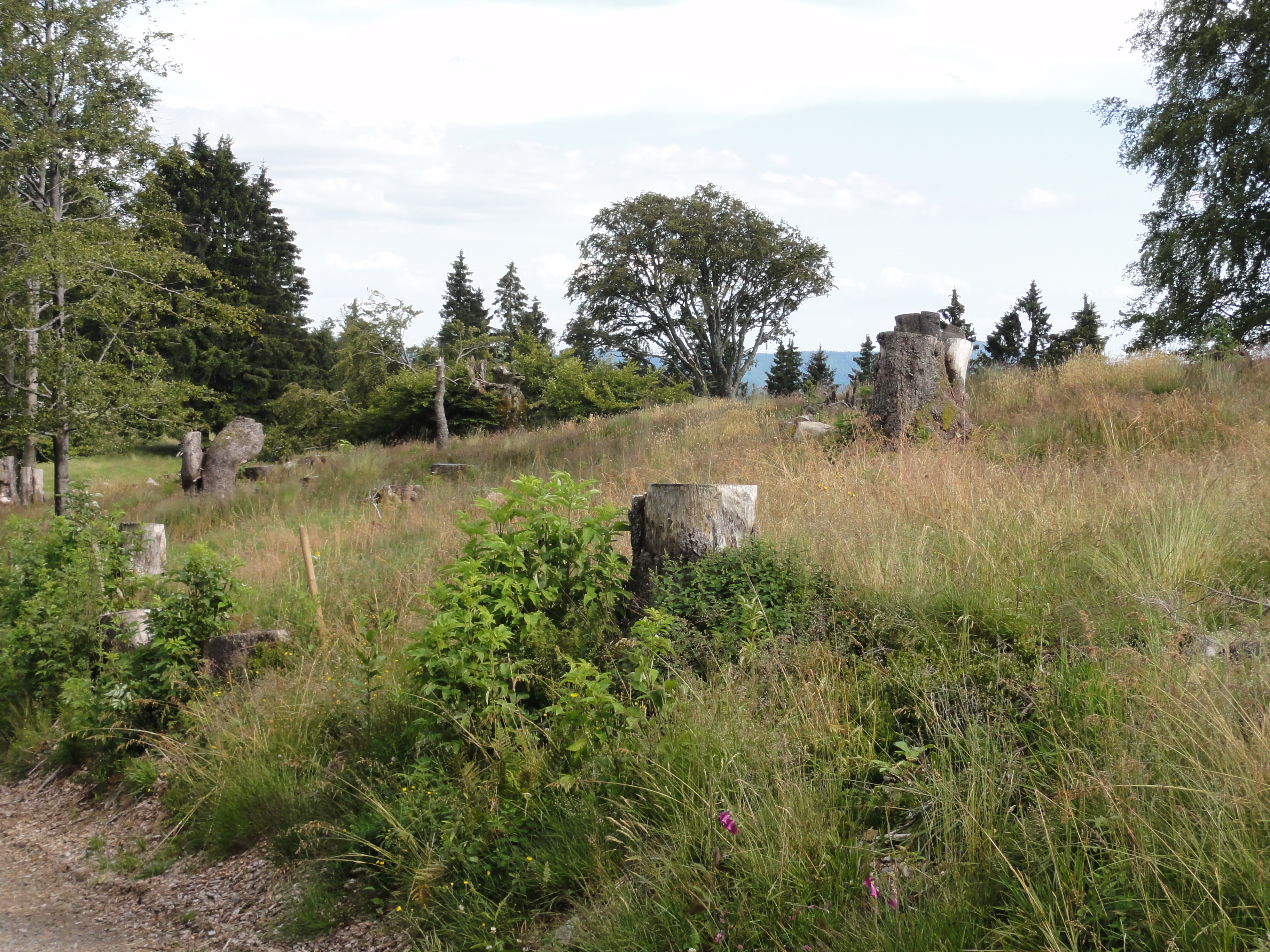
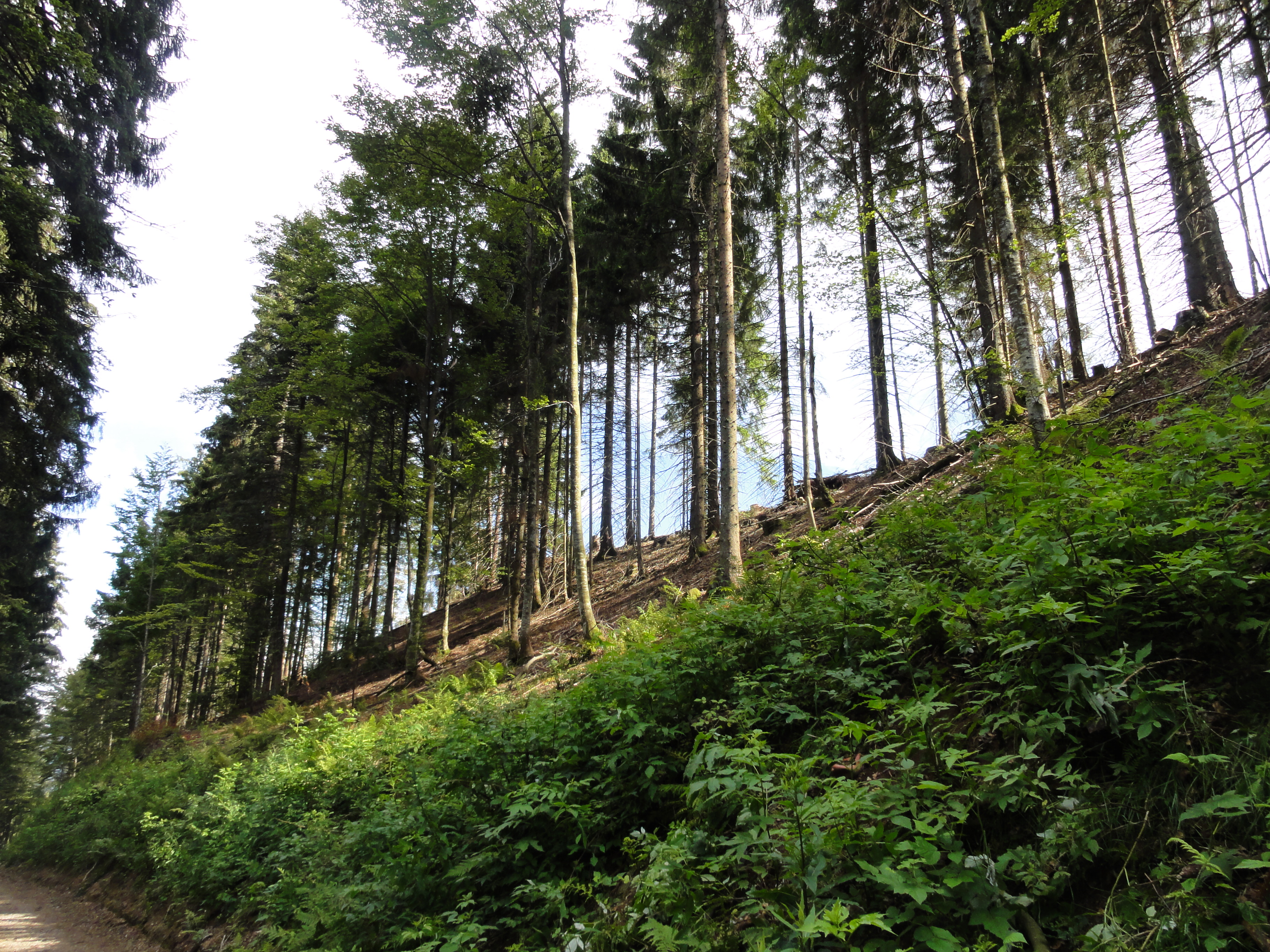
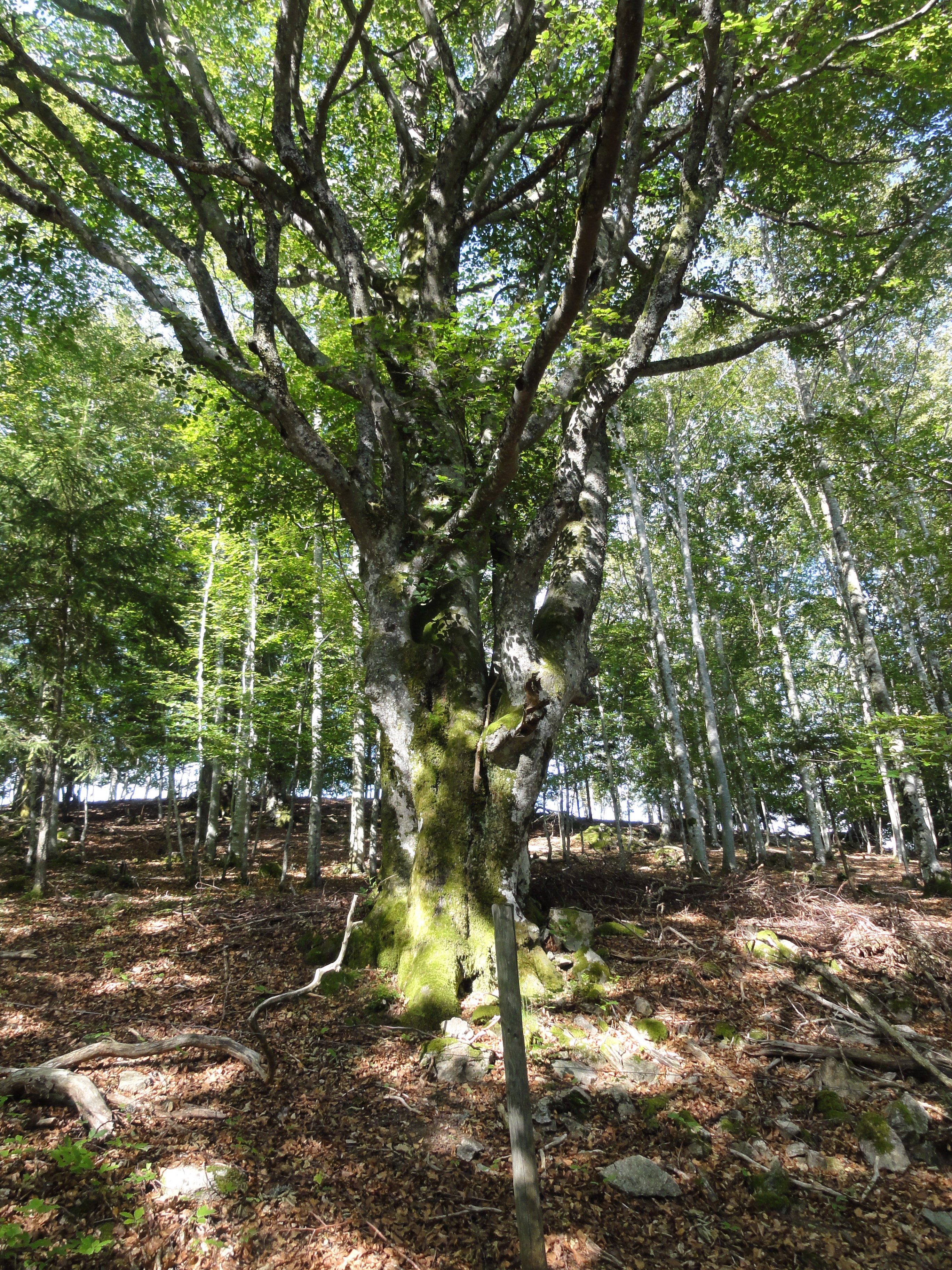
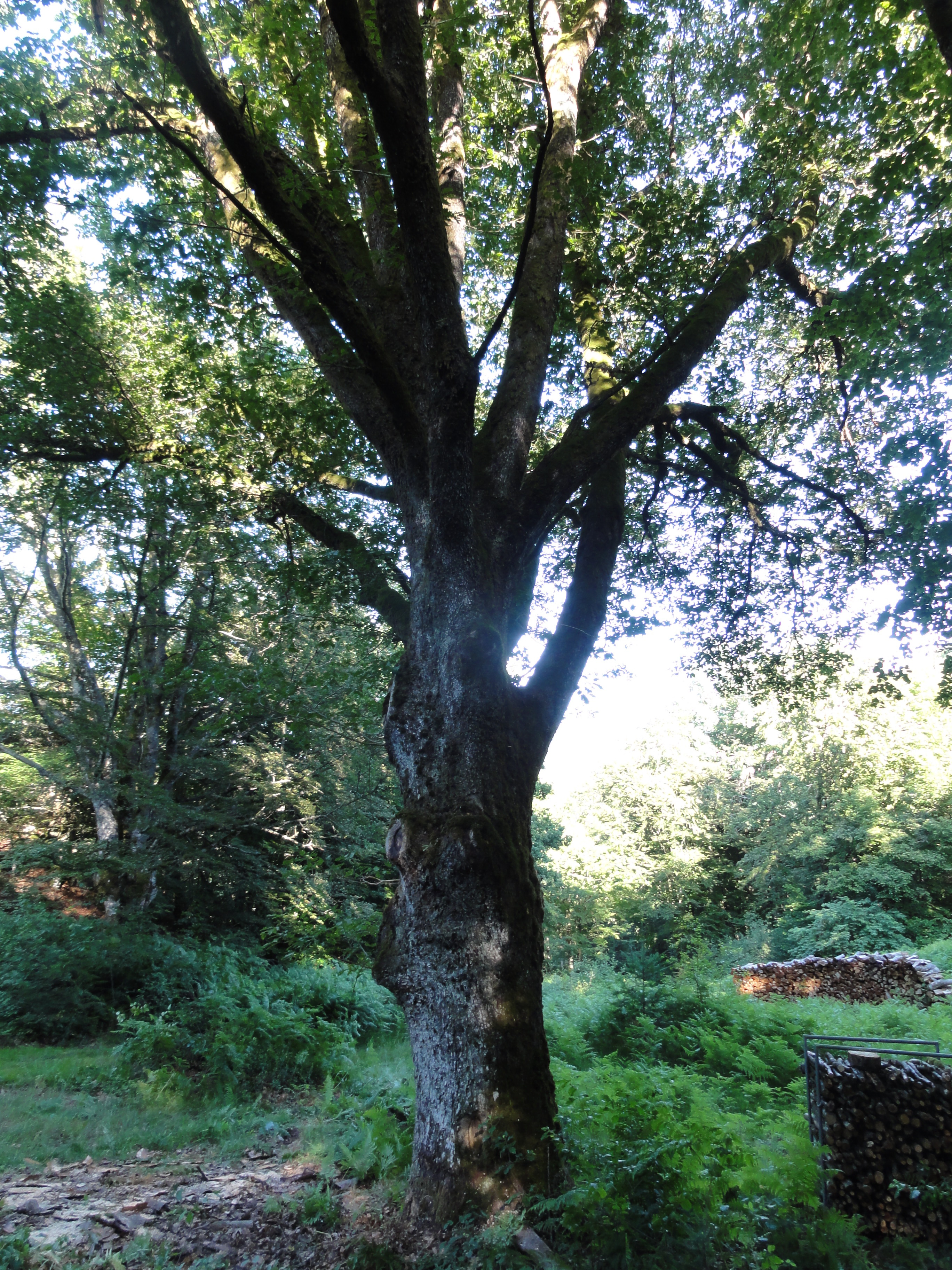
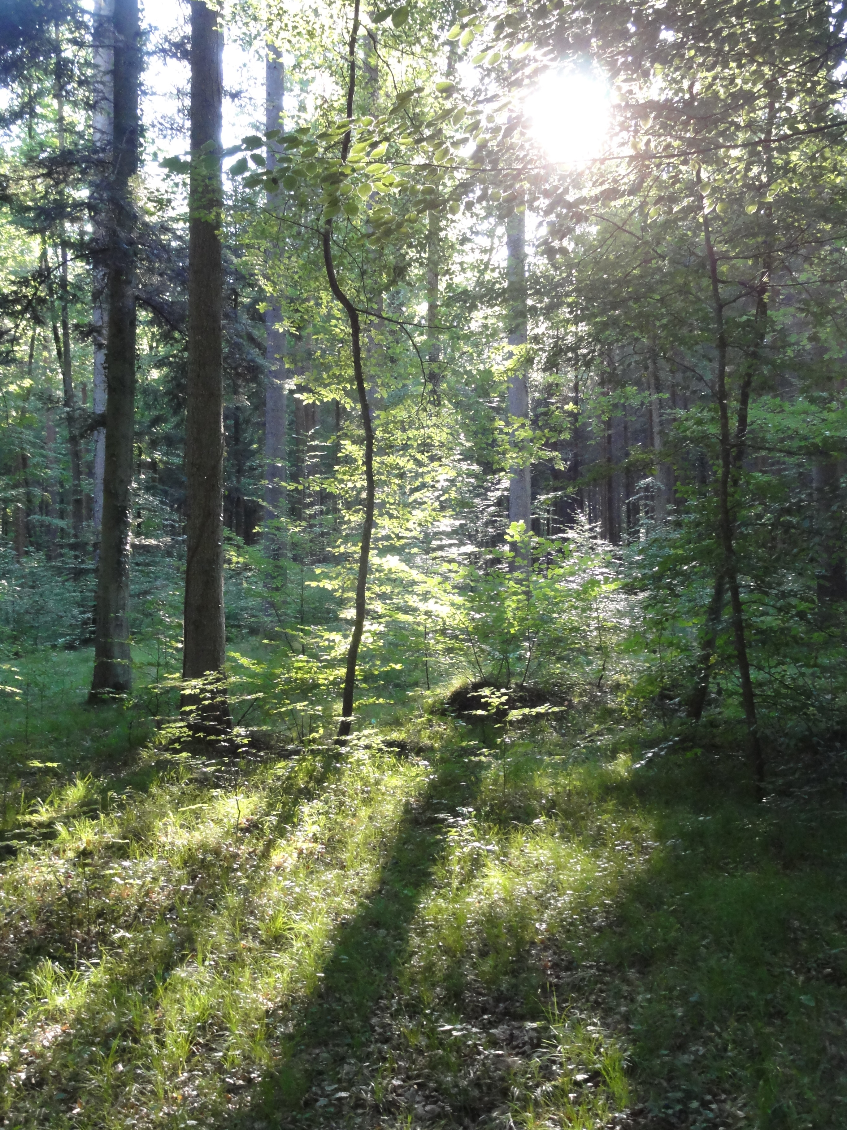
The THEME of this hike came out to be "DEAD TREES" ! We found a lot of them, very impressive. (But the overwhelming majority of the trees are ALIVE !-)
|
2011:07:01 16:34:26
---
47 deg 52' 3.43" N, 7 deg 59' 20.35" E
 167.25
°
©
ml
167.25
°
©
ml
|
Looks a little bit like "ALIEN-FIVE":
|
2011:07:01 16:34:35
---
47 deg 52' 3.43" N, 7 deg 59' 20.35" E
 188.25
°
©
ml
188.25
°
©
ml
|
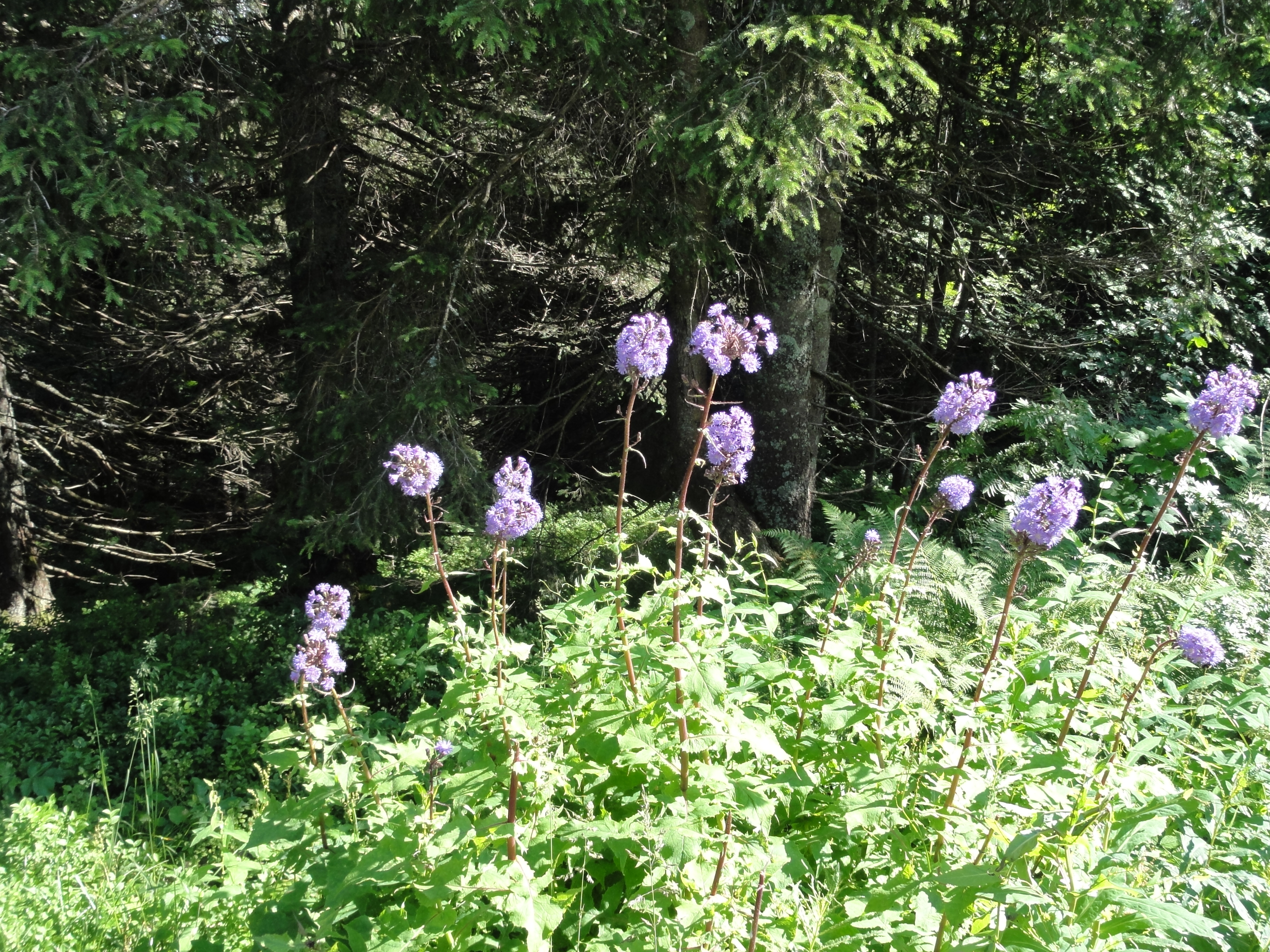
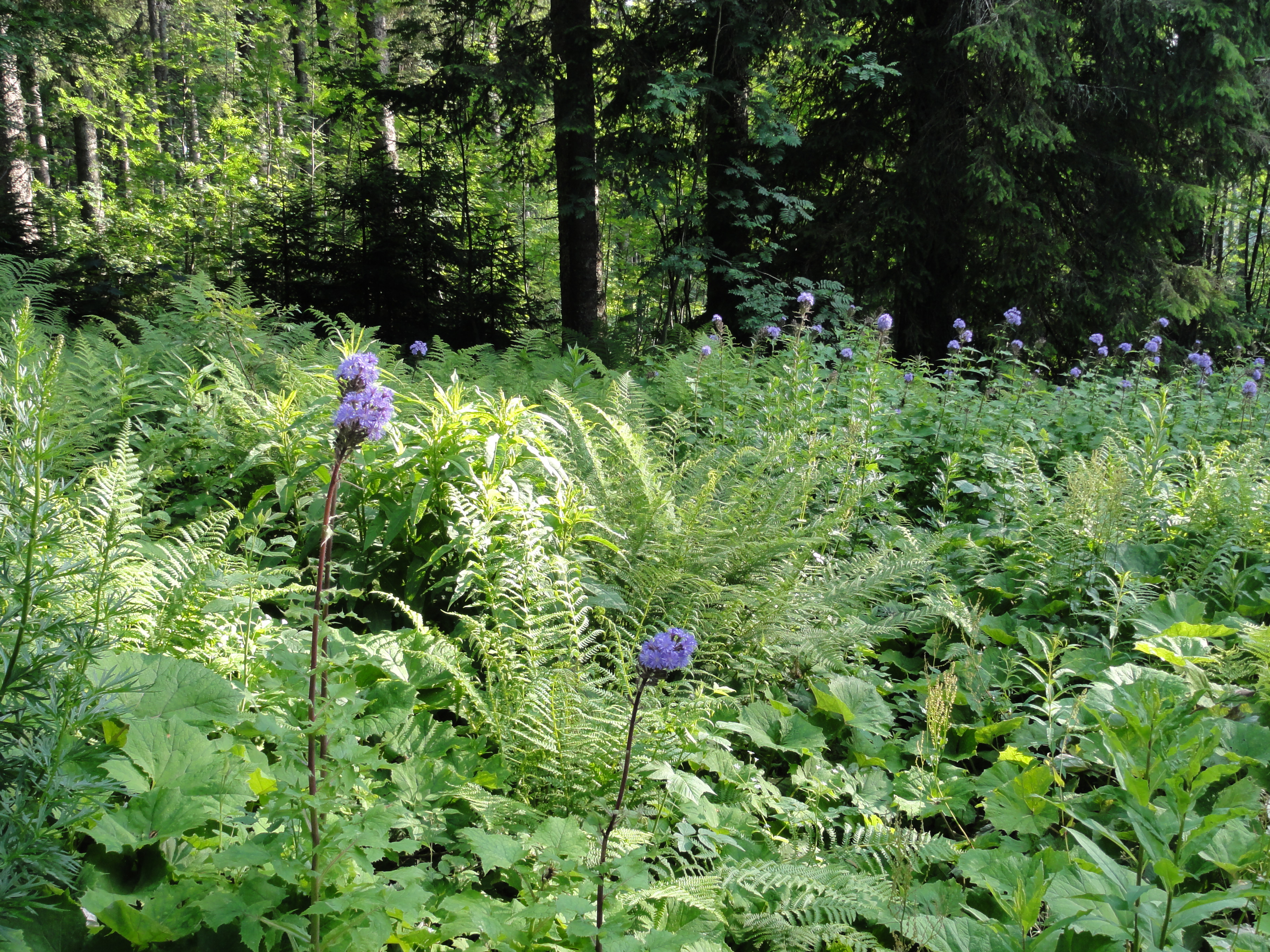
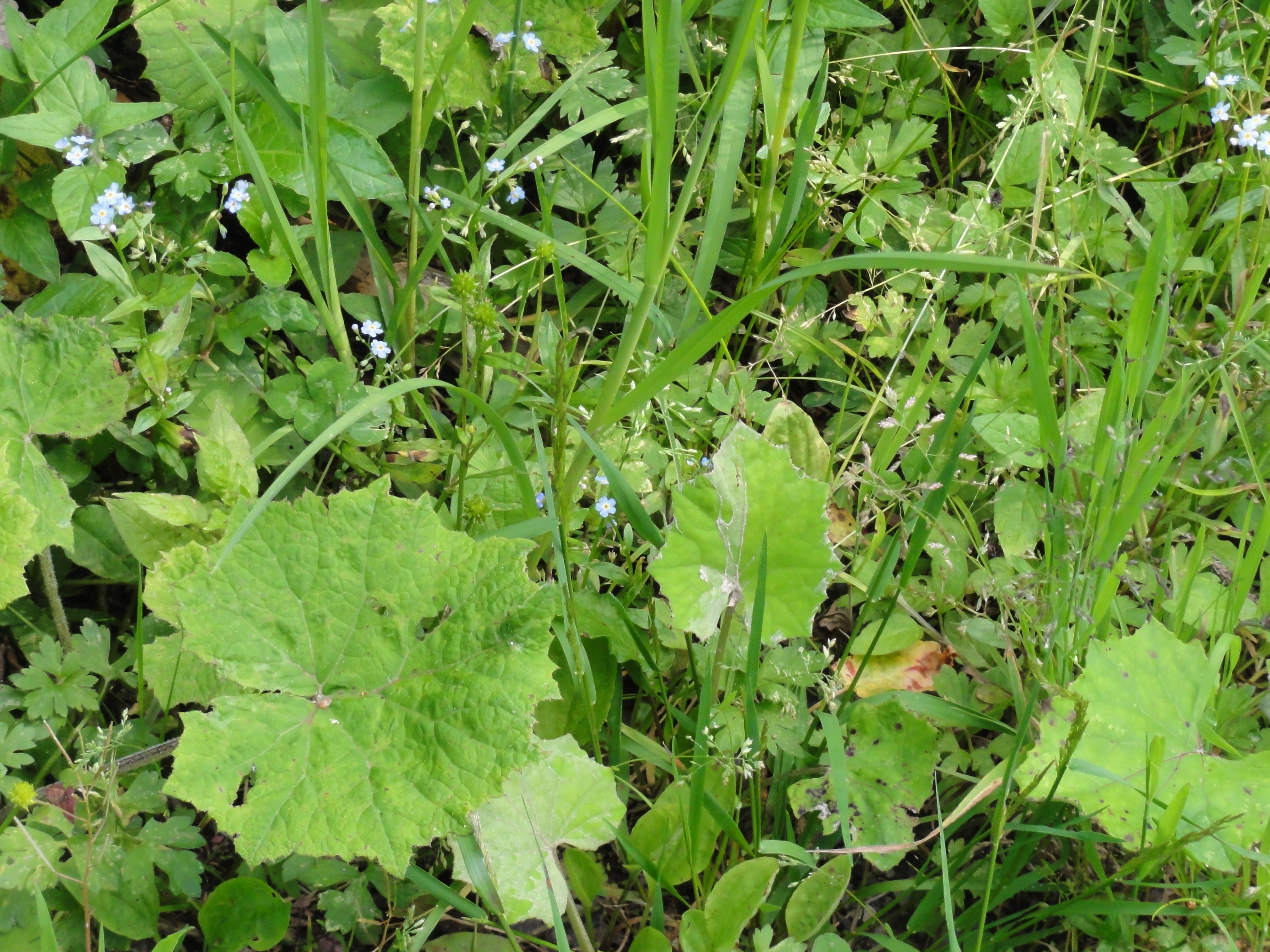
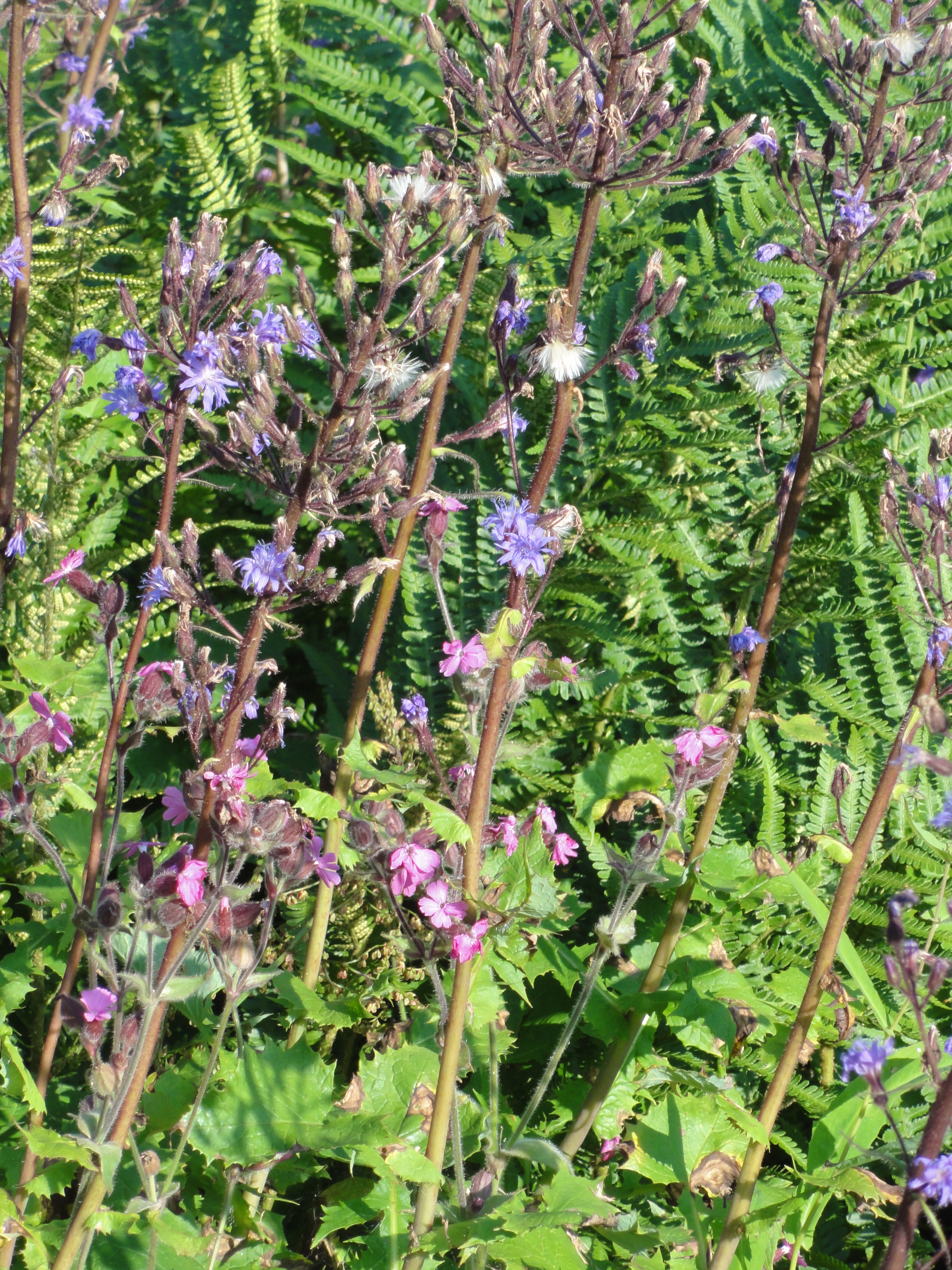
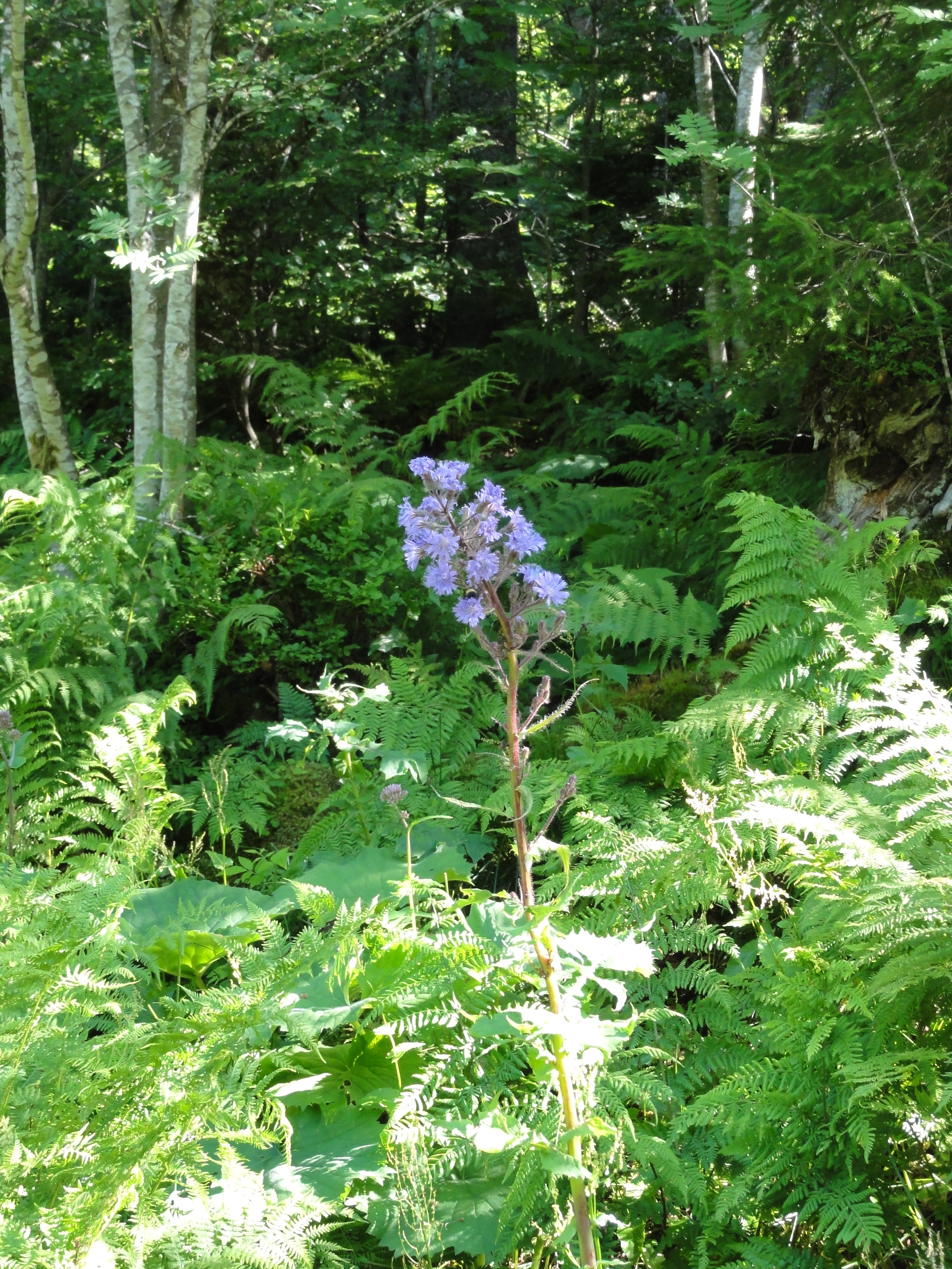
But the flowers are alive!
|
2011:07:01 16:35:27
---
47 deg 52' 3.06" N, 7 deg 59' 19.76" E
 206.25
°
©
ml
206.25
°
©
ml
|
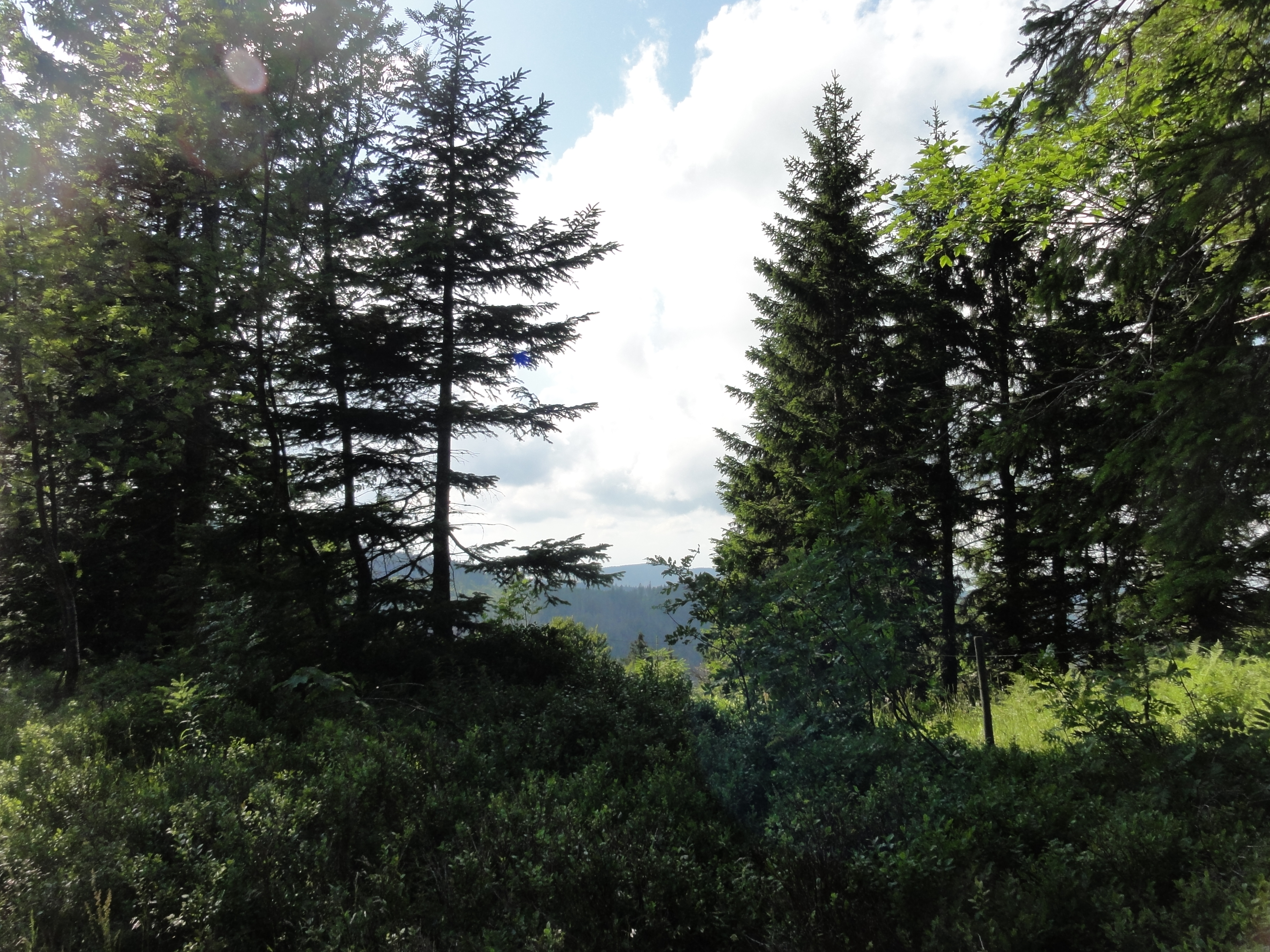
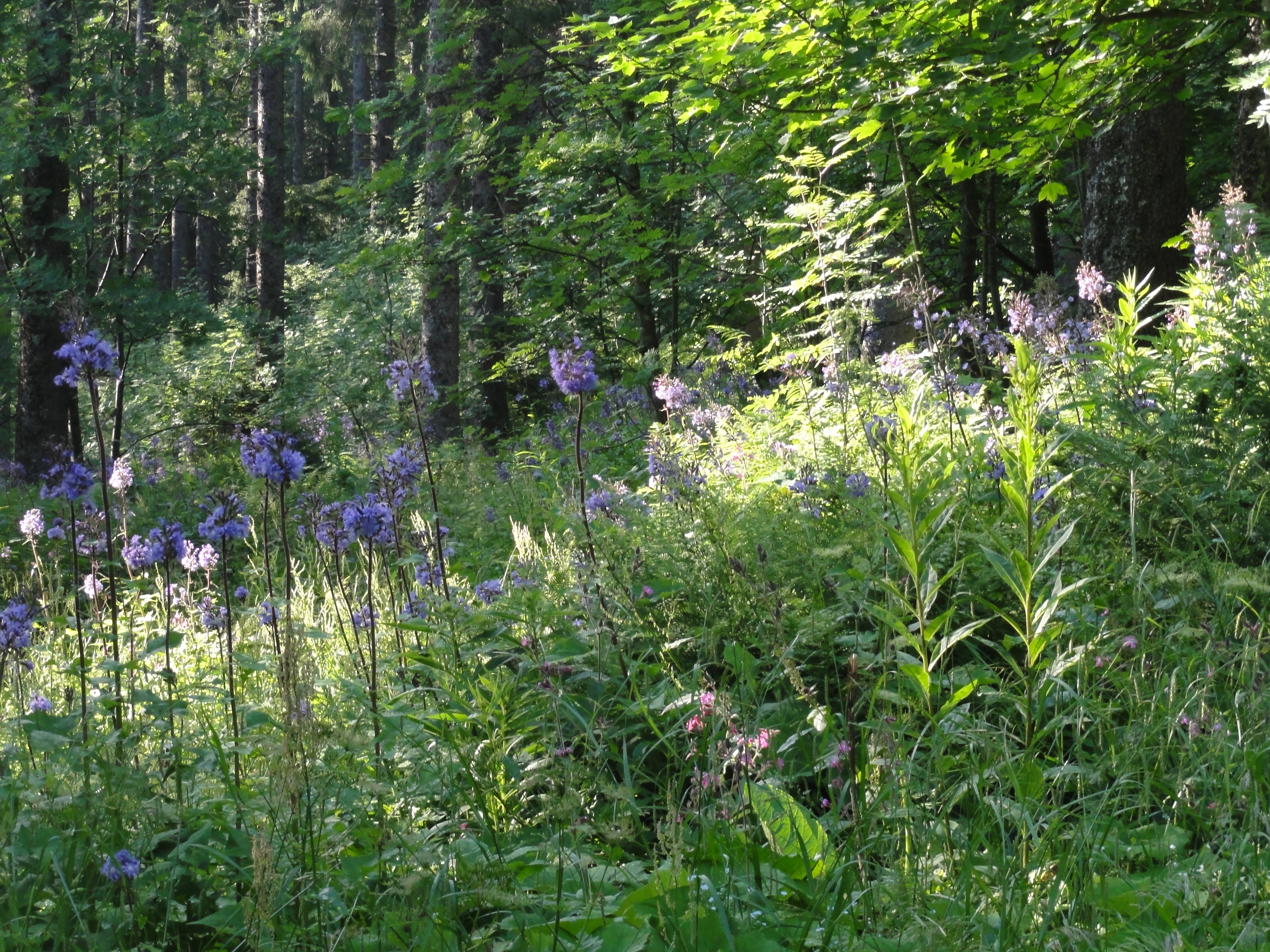
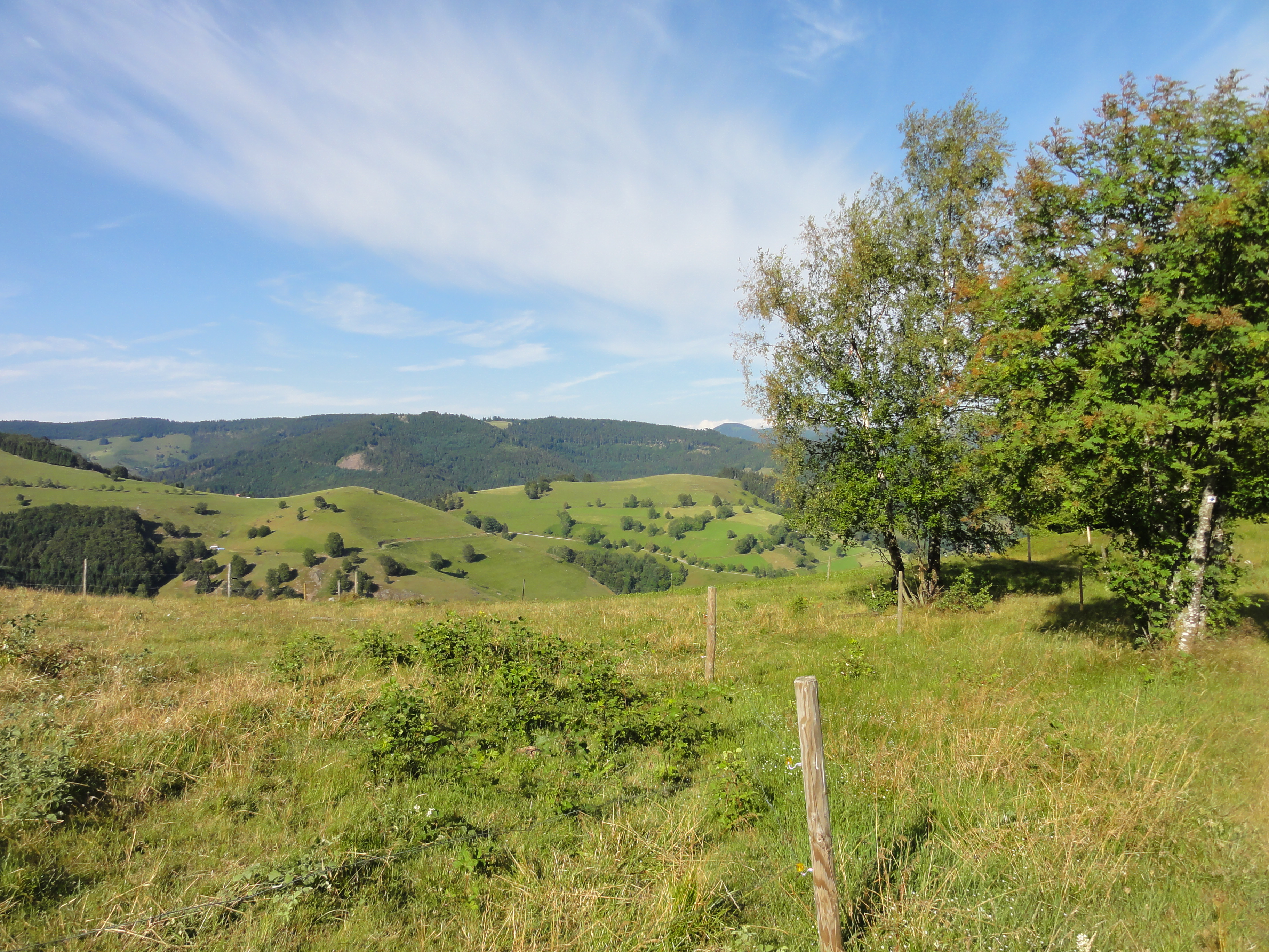
It was not TOO clear, not TOO hot, it was great for walking!
|
2011:07:01 16:35:50
---
47 deg 52' 3.40" N, 7 deg 59' 19.91" E
 296.75
°
©
ml
296.75
°
©
ml
|
|
|
2011:07:01 16:36:51
---
47 deg 52' 3.48" N, 7 deg 59' 19.37" E
309.25
°
©
ml
|
|
|
2011:07:01 16:38:40
---
47 deg 52' 2.30" N, 7 deg 59' 16.18" E
327.5
°
©
ml
|
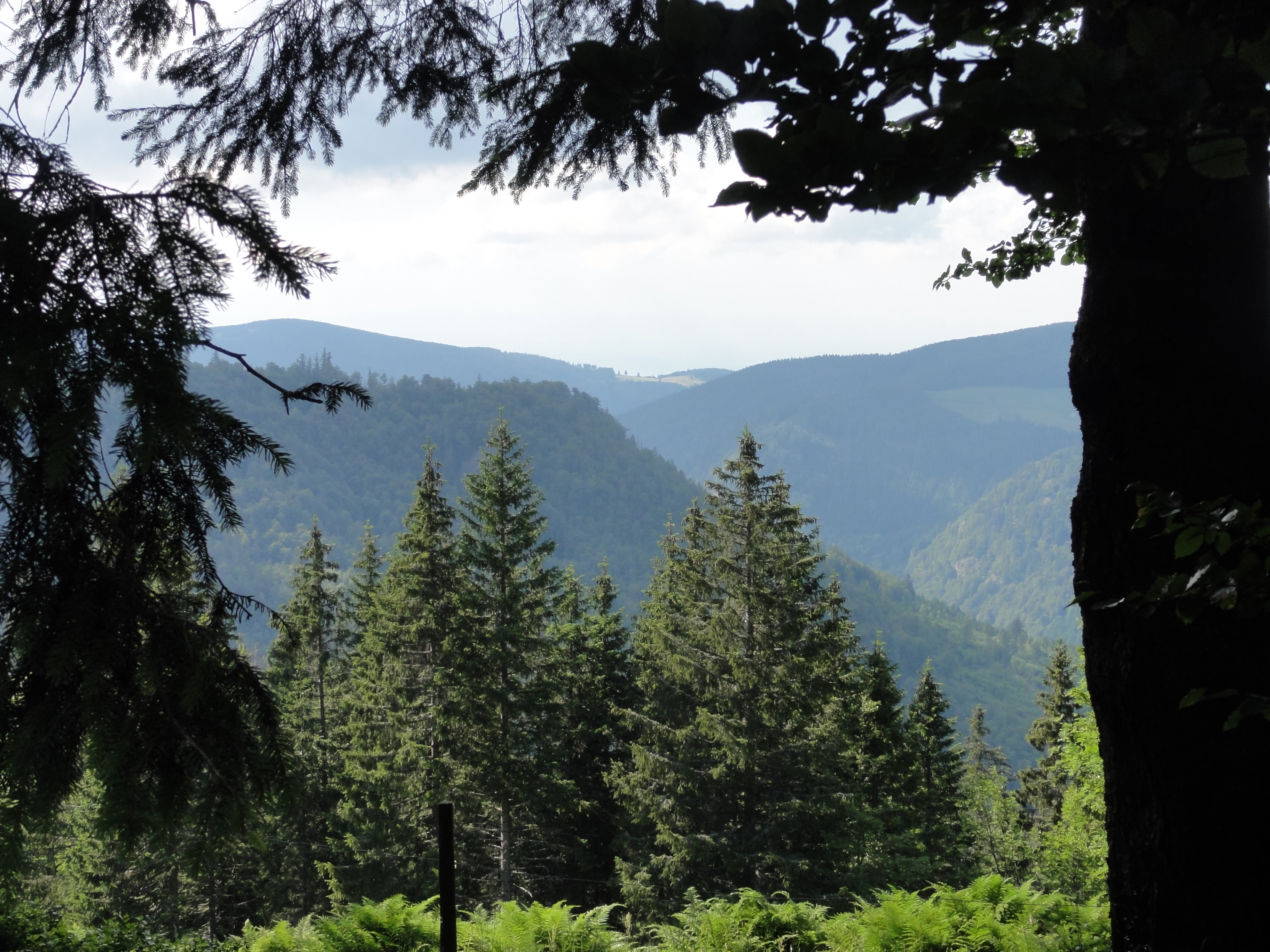
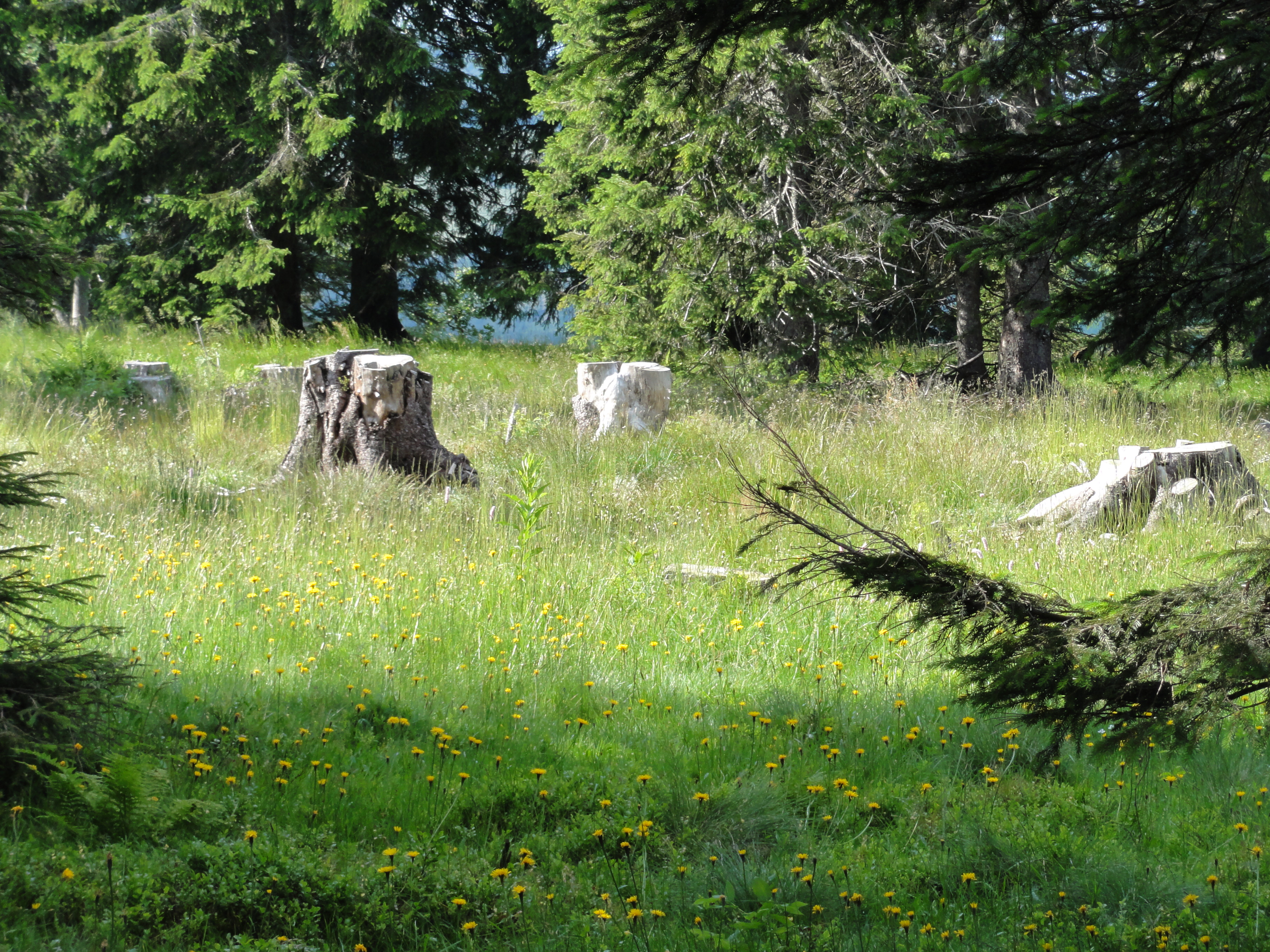
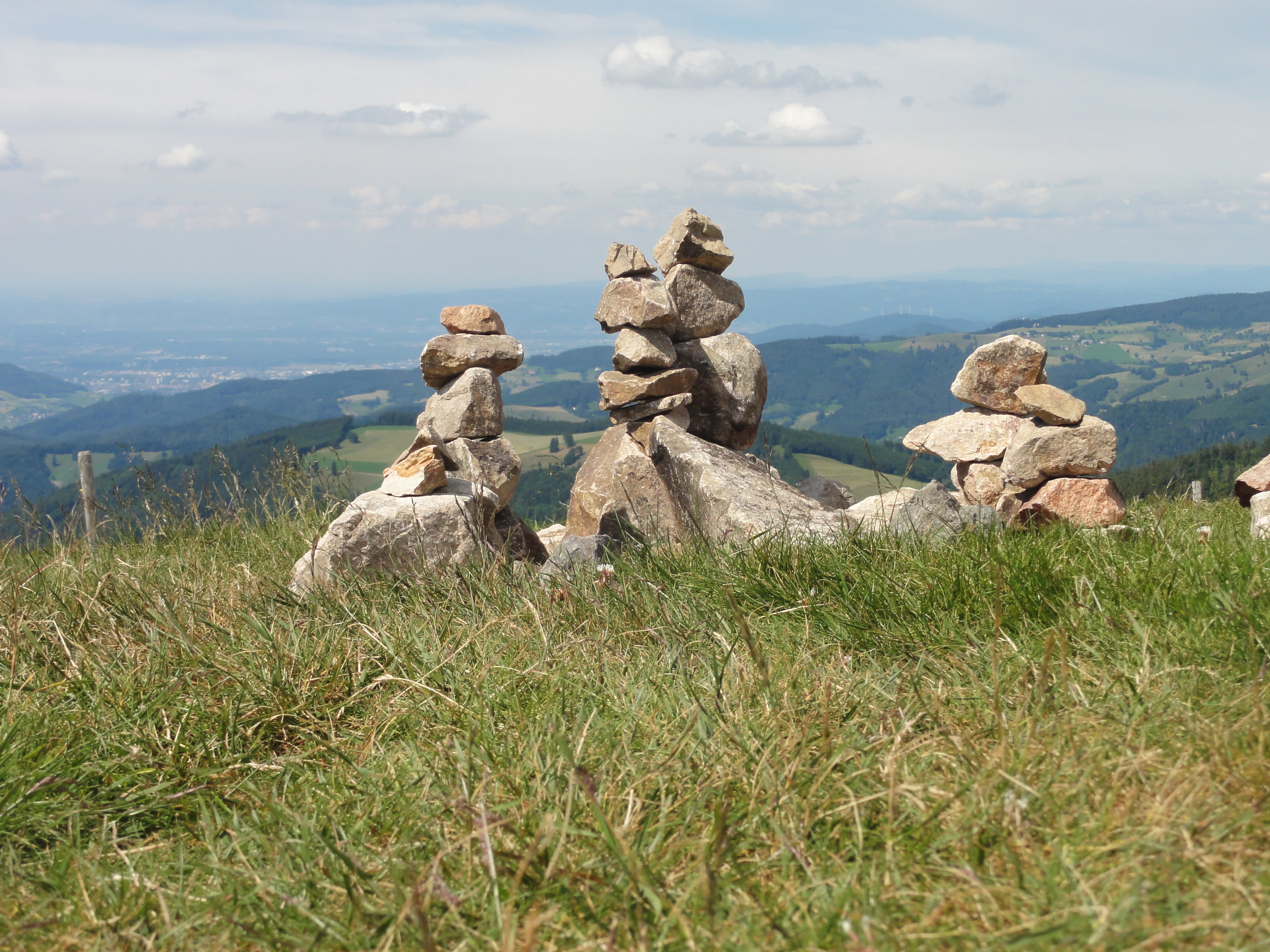
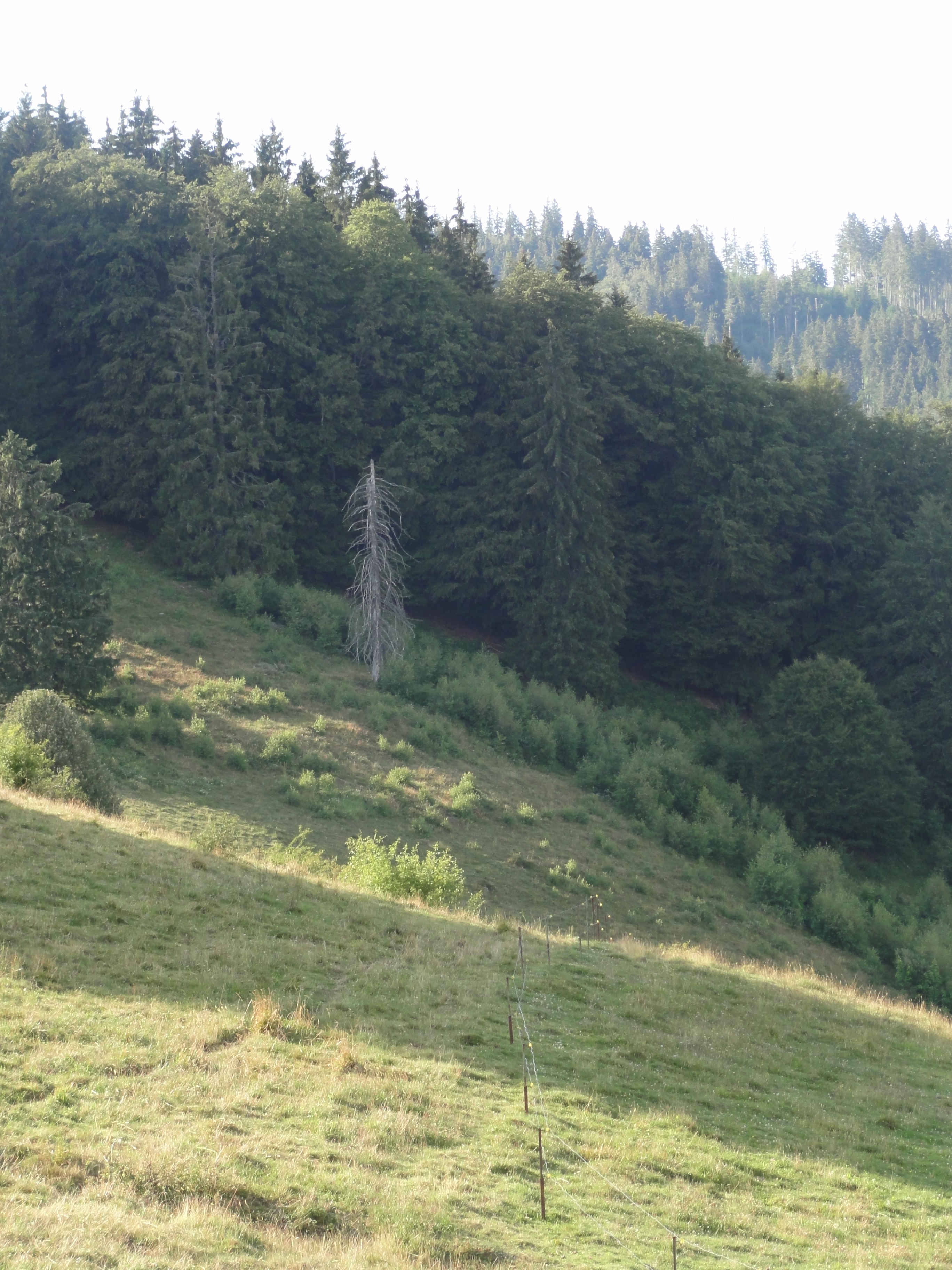
This was the ONLY site where we saw more than ONE dead tree. Looks pretty bad, but it's purely local!
|
|
2011:07:01 16:42:40
---
47 deg 52' 0.34" N, 7 deg 59' 4.74" E
44
°
©
ml
|
|
|
2011:07:01 16:47:38
---
47 deg 52' 0.62" N, 7 deg 58' 57.35" E
334.25
°
©
ml
|
|
|
2011:07:01 16:48:26
---
47 deg 52' 0.27" N, 7 deg 58' 56.30" E
309.25
°
©
ml
|
|
|
2011:07:01 16:48:38
---
47 deg 52' 0.33" N, 7 deg 58' 55.84" E
336
°
©
ml
|
|
|
2011:07:01 17:00:22
---
47 deg 51' 59.15" N, 7 deg 58' 34.24" E
159.5
°
©
ml
|
|
2011:07:01 17:01:37
---
47 deg 51' 59.51" N, 7 deg 58' 34.59" E
 90.25
°
©
ml
90.25
°
©
ml
|
|
|
2011:07:01 17:20:34
---
47 deg 52' 8.69" N, 7 deg 58' 9.98" E
26.5
°
©
ml
|
|
2011:07:01 17:25:00
---
47 deg 52' 11.17" N, 7 deg 58' 5.61" E
 241.5
°
©
ml
241.5
°
©
ml
|

|
|
2011:07:01 17:32:46
---
47 deg 52' 5.44" N, 7 deg 57' 44.43" E
342.75
°
©
ml
|
|
2011:07:01 17:32:56
---
47 deg 52' 5.44" N, 7 deg 57' 44.43" E
 280.25
°
©
ml
280.25
°
©
ml
|
|
|
2011:07:01 17:33:09
---
47 deg 52' 5.30" N, 7 deg 57' 44.38" E
208.5
°
©
ml
|
|
|
2011:07:01 17:33:26
---
47 deg 52' 4.62" N, 7 deg 57' 43.85" E
185
°
©
ml
|
|
|
2011:07:01 17:43:50
---
47 deg 52' 4.48" N, 7 deg 57' 21.44" E
225
°
©
ml
|
|
|
2011:07:01 17:44:36
---
47 deg 52' 4.28" N, 7 deg 57' 21.73" E
202.5
°
©
ml
|

|
|
2011:07:01 17:44:47
---
47 deg 52' 4.28" N, 7 deg 57' 21.73" E
296.75
°
©
ml
|

|
|
2011:07:01 17:46:30
---
47 deg 52' 3.30" N, 7 deg 57' 18.74" E
244
°
©
ml
|
|
|
2011:07:01 17:46:59
---
47 deg 52' 1.13" N, 7 deg 57' 18.17" E
27
°
©
ml
|
|
|
2011:07:01 17:49:09
---
47 deg 52' 2.27" N, 7 deg 57' 13.74" E
238.75
°
©
ml
|
|
|
2011:07:01 17:50:28
---
47 deg 52' 0.26" N, 7 deg 57' 9.72" E
146.25
°
©
ml
|
|
2011:07:01 17:50:40
---
47 deg 52' 0.85" N, 7 deg 57' 10.13" E
 134.75
°
©
ml
134.75
°
©
ml
|

|
|
2011:07:01 17:57:38
---
47 deg 52' 0.85" N, 7 deg 57' 9.89" E
170
°
©
ml
|

|
|
2011:07:01 18:01:03
---
47 deg 51' 43.78" N, 7 deg 56' 43.19" E
154.5
°
©
ml
|

|
|
2011:07:01 18:02:44
---
47 deg 51' 40.79" N, 7 deg 56' 38.67" E
207.75
°
©
ml
|

|
|
2011:07:01 18:03:34
---
47 deg 51' 40.22" N, 7 deg 56' 39.65" E
139.5
°
©
ml
|

|
|
2011:07:01 18:03:59
---
47 deg 51' 39.85" N, 7 deg 56' 39.60" E
35
°
©
ml
|

|
|
2011:07:01 18:09:58
---
47 deg 51' 38.61" N, 7 deg 56' 39.99" E
92
°
©
ml
|

|
|
2011:07:01 18:10:13
---
47 deg 51' 37.58" N, 7 deg 56' 40.22" E
123.25
°
©
ml
|
The preceding photos are already approaching TODTNAUBERG, where !Heidegger! had his hut!

|
2011:07:01 18:21:56
---
47 deg 51' 37.01" N, 7 deg 56' 24.93" E
 18
°
©
ml
18
°
©
ml
|

|
|
2011:07:01 18:22:22
---
47 deg 51' 37.02" N, 7 deg 56' 25.06" E
354.75
°
©
ml
|

|
|
2011:07:01 18:22:40
---
47 deg 51' 38.76" N, 7 deg 56' 25.72" E
18.5
°
©
ml
|

|
|
2011:07:01 18:24:48
---
47 deg 51' 40.17" N, 7 deg 56' 23.94" E
226.75
°
©
ml
|

|
|
2011:07:01 18:27:10
---
47 deg 51' 44.25" N, 7 deg 56' 17.81" E
34.75
°
©
ml
|

|
|
2011:07:01 18:28:12
---
47 deg 51' 45.51" N, 7 deg 56' 17.73" E
92.25
°
©
ml
|
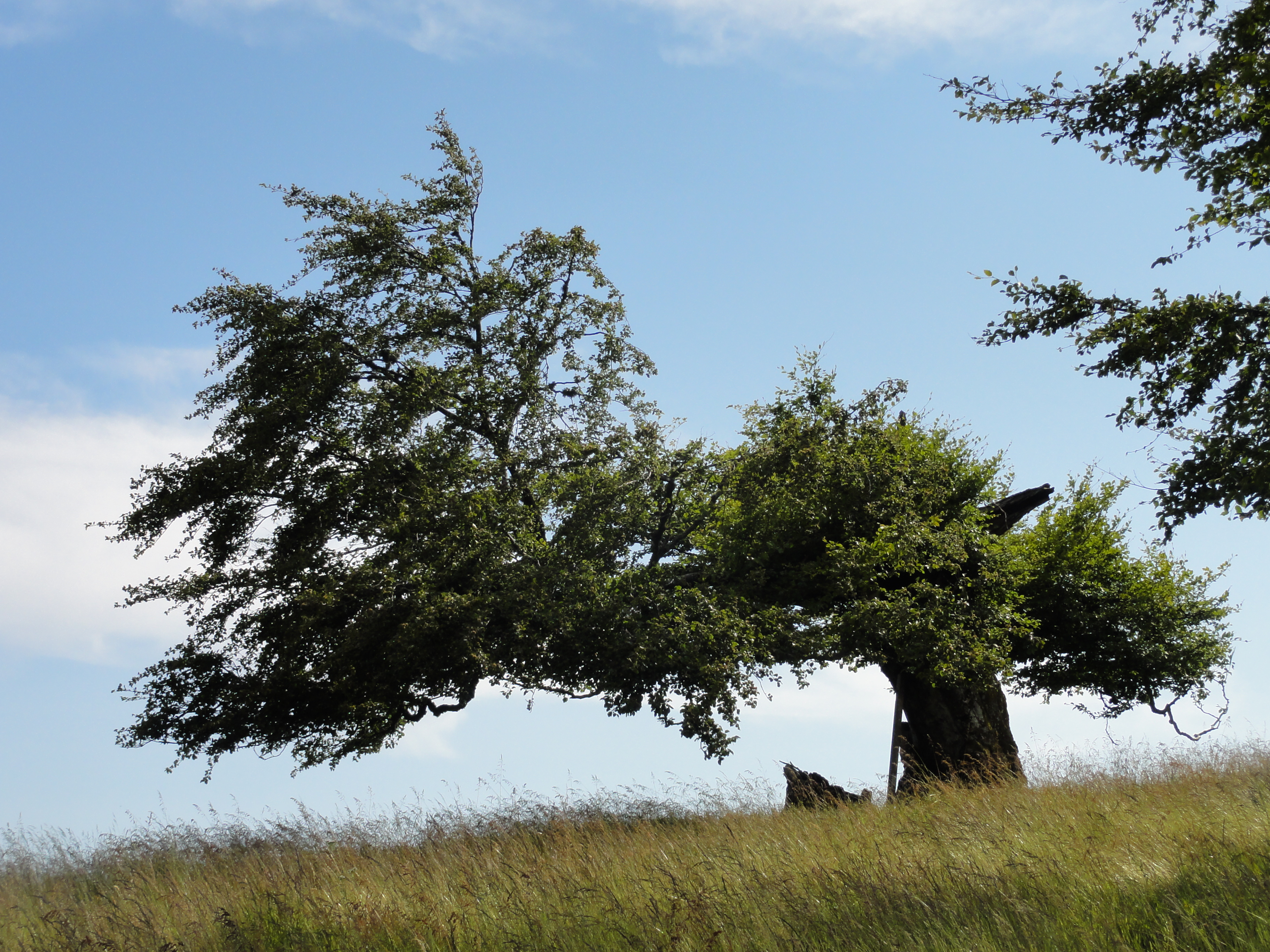
If you look long enough, you will see all of !Heidegger!s truth in these small segments of a HOLZWEG!

|
|
2011:07:01 18:29:27
---
47 deg 51' 45.51" N, 7 deg 56' 17.73" E
151
°
©
ml
|

|
|
2011:07:01 18:29:37
---
47 deg 51' 47.80" N, 7 deg 56' 19.67" E
123.5
°
©
ml
|

|
|
2011:07:01 18:34:34
---
47 deg 51' 46.44" N, 7 deg 56' 19.40" E
295
°
©
ml
|

|
|
2011:07:01 18:34:47
---
47 deg 51' 46.44" N, 7 deg 56' 19.40" E
62
°
©
ml
|

|
2011:07:01 18:35:55
---
47 deg 51' 46.44" N, 7 deg 56' 19.40" E
 267.75
°
©
ml
267.75
°
©
ml
|

|
|
2011:07:01 18:38:58
---
47 deg 51' 47.38" N, 7 deg 56' 12.86" E
271.25
°
©
ml
|

|
|
2011:07:01 18:39:21
---
47 deg 51' 51.65" N, 7 deg 56' 13.35" E
287
°
©
ml
|
Many nice hopeful FROGGIES !

|
|
2011:07:01 18:43:55
---
47 deg 51' 51.32" N, 7 deg 56' 12.10" E
276.25
°
©
ml
|

|
|
2011:07:01 18:47:48
---
47 deg 51' 51.32" N, 7 deg 56' 12.10" E
199.5
°
©
ml
|

|
|
2011:07:01 18:48:17
---
47 deg 51' 43.97" N, 7 deg 56' 3.74" E
194.75
°
©
ml
|

|
|
2011:07:01 18:50:50
---
47 deg 51' 41.66" N, 7 deg 55' 58.45" E
356
°
©
ml
|

|
|
2011:07:01 18:51:25
---
47 deg 51' 42.72" N, 7 deg 55' 57.76" E
259.25
°
©
ml
|

|
|
2011:07:01 18:57:43
---
47 deg 51' 40.18" N, 7 deg 55' 37.24" E
99.25
°
©
ml
|

|
|
2011:07:01 18:58:14
---
47 deg 51' 41.65" N, 7 deg 55' 36.28" E
215.25
°
©
ml
|

|
|
2011:07:01 19:02:13
---
47 deg 51' 41.63" N, 7 deg 55' 36.17" E
217.5
°
©
ml
|
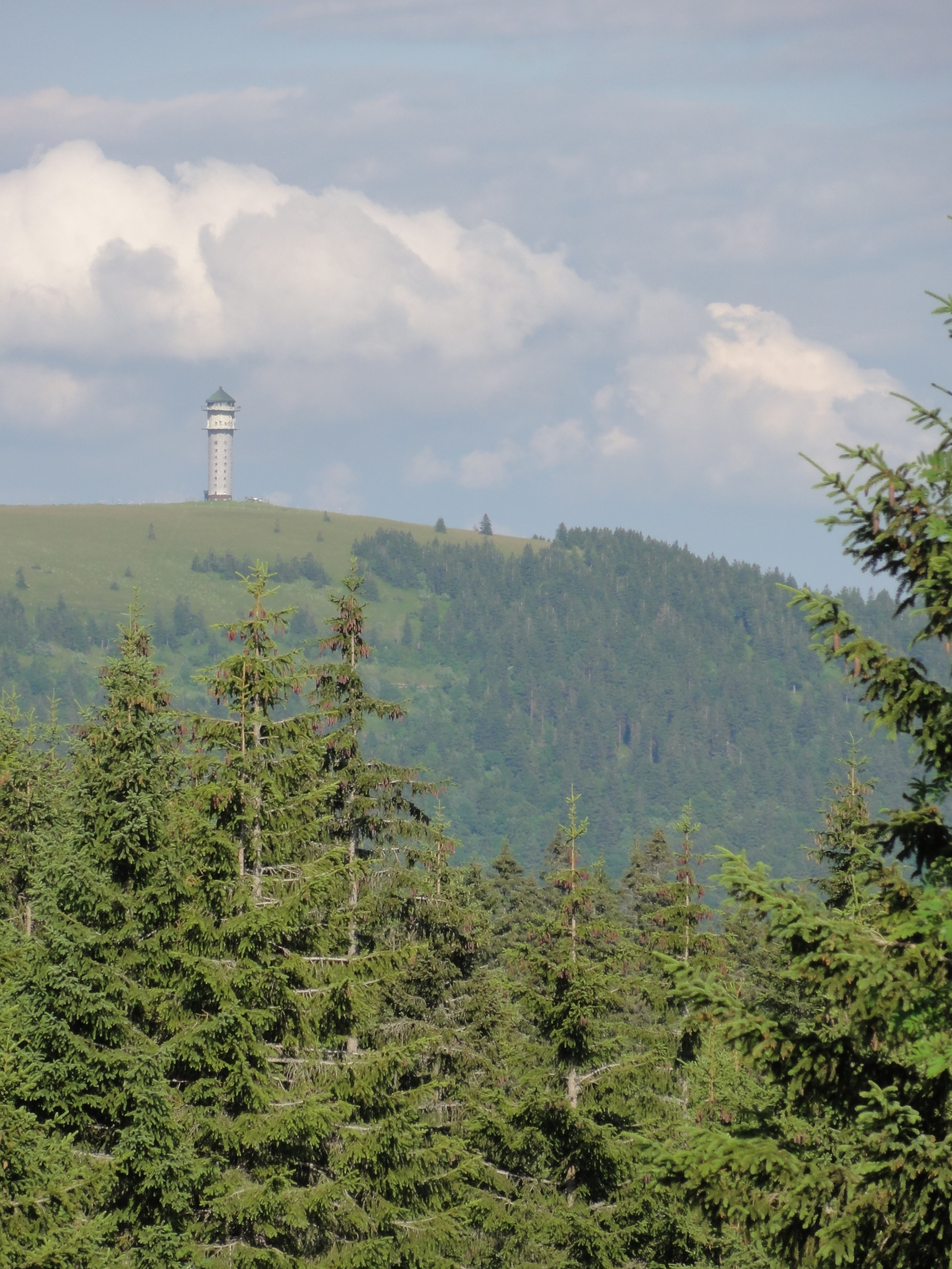
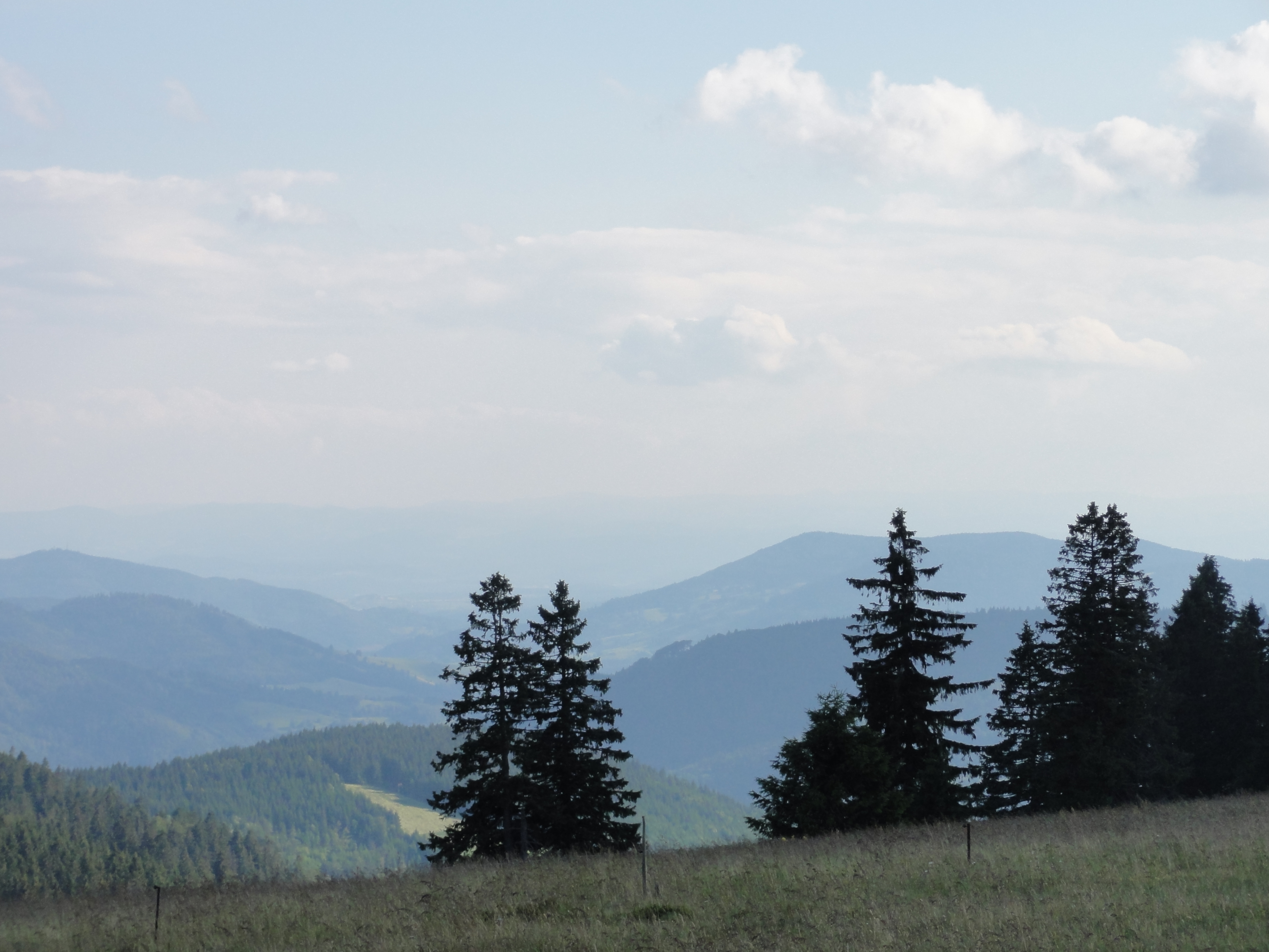
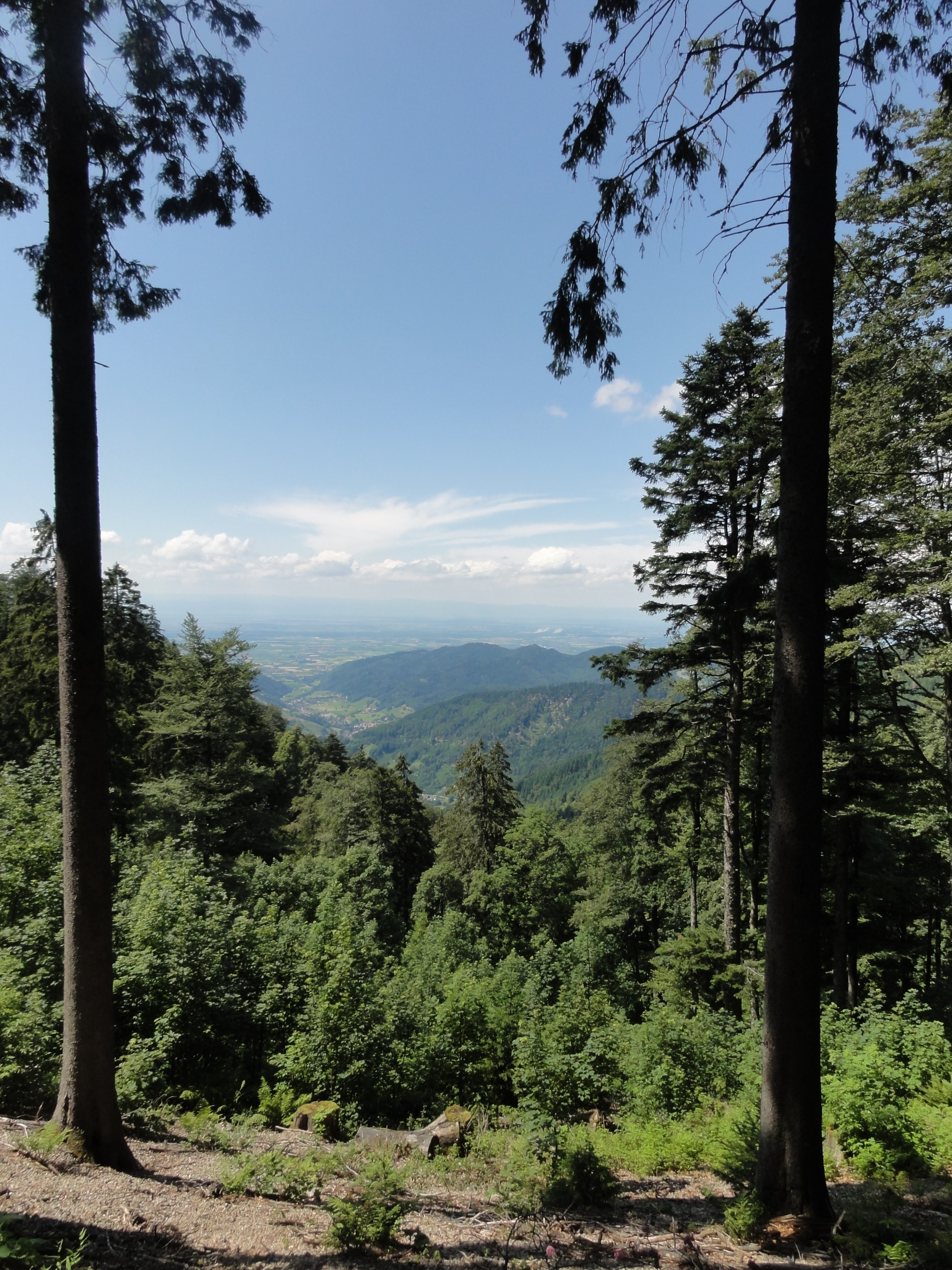
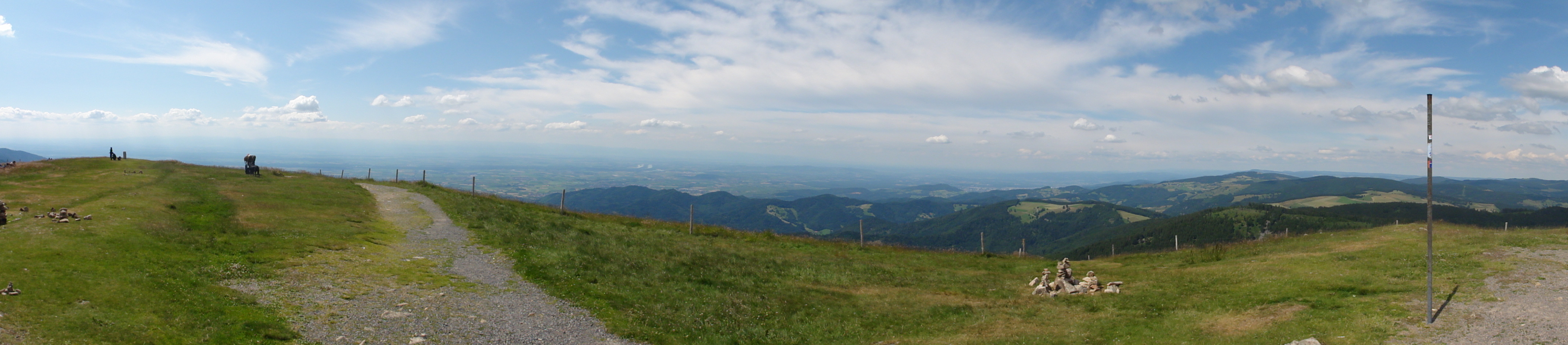
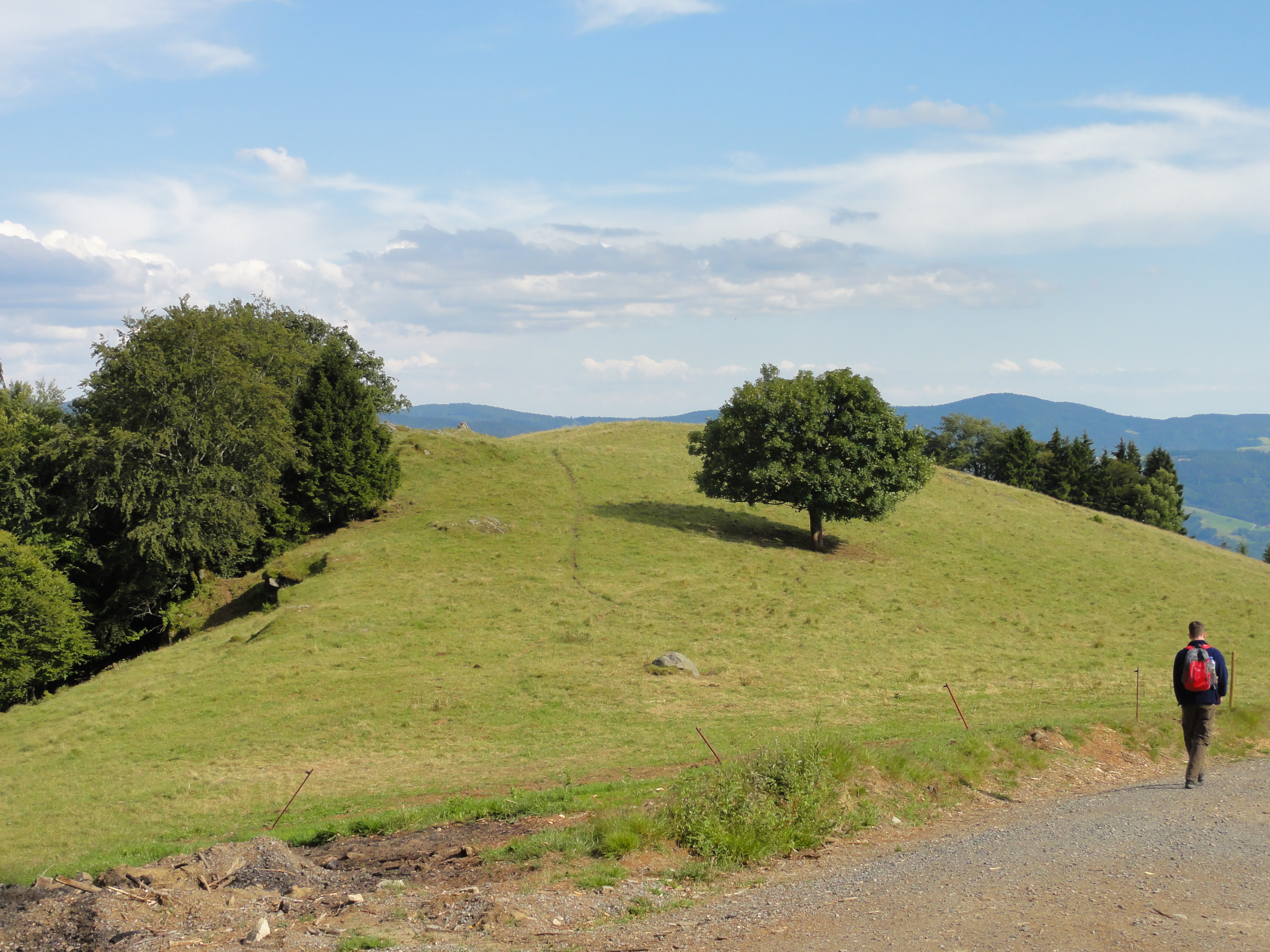
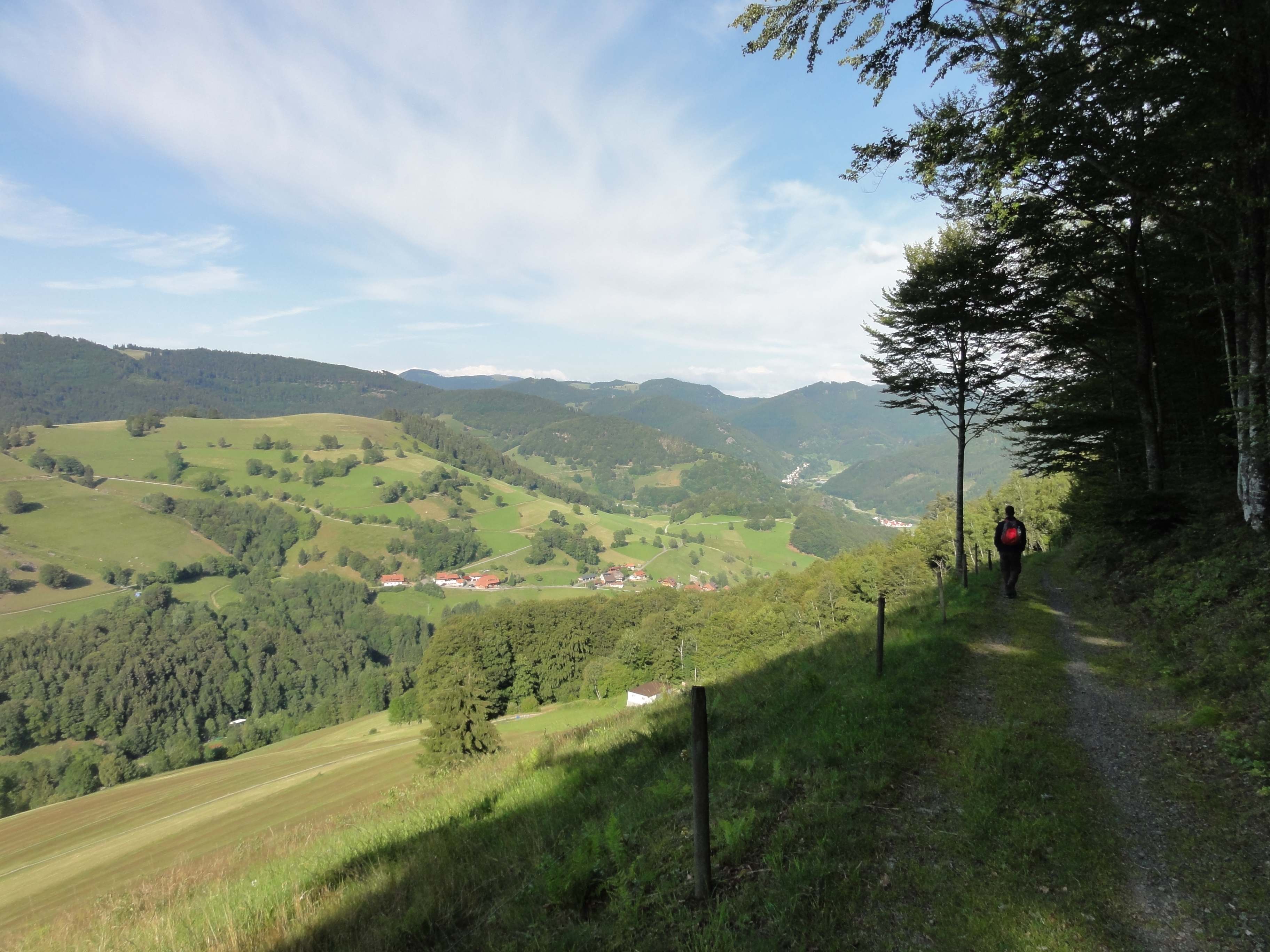
This night we stayed in Muggenbrunn, and next day we again took the bus, but not for cheating, but even in the opposite direction! Namely for getting the marvellous view from the Schauinsland. It worked!

|
|
2011:07:02 09:09:06
---
47 deg 51' 41.63" N, 7 deg 55' 36.17" E
275.25
°
©
ml
|

|
|
2011:07:02 09:09:48
---
47 deg 51' 41.63" N, 7 deg 55' 36.17" E
289.25
°
©
ml
|

|
|
2011:07:02 09:10:06
---
47 deg 52' 55.18" N, 7 deg 53' 29.73" E
247.25
°
©
ml
|
HERE I feel like the Fuhrer, overlooking all the shallow planes of the
ERBFEIND!
Hey, stop! The Führerhauptquartier was in FREUDENSTADT, which is in the
northern Schwarzwald! But here it COULD have been, just for the view!

|
|
2011:07:02 09:10:16
---
47 deg 52' 55.52" N, 7 deg 53' 29.56" E
274.25
°
©
ml
|

|
|
2011:07:02 09:11:46
---
47 deg 53' 35.56" N, 7 deg 53' 41.00" E
311.25
°
©
ml
|

|
|
2011:07:02 09:15:29
---
47 deg 53' 35.63" N, 7 deg 53' 38.27" E
274.75
°
©
ml
|

|
|
2011:07:02 09:35:21
---
47 deg 52' 53.93" N, 7 deg 52' 40.76" E
284
°
©
ml
|

|
|
2011:07:02 10:09:36
---
47 deg 51' 58.22" N, 7 deg 52' 59.26" E
244.5
°
©
ml
|
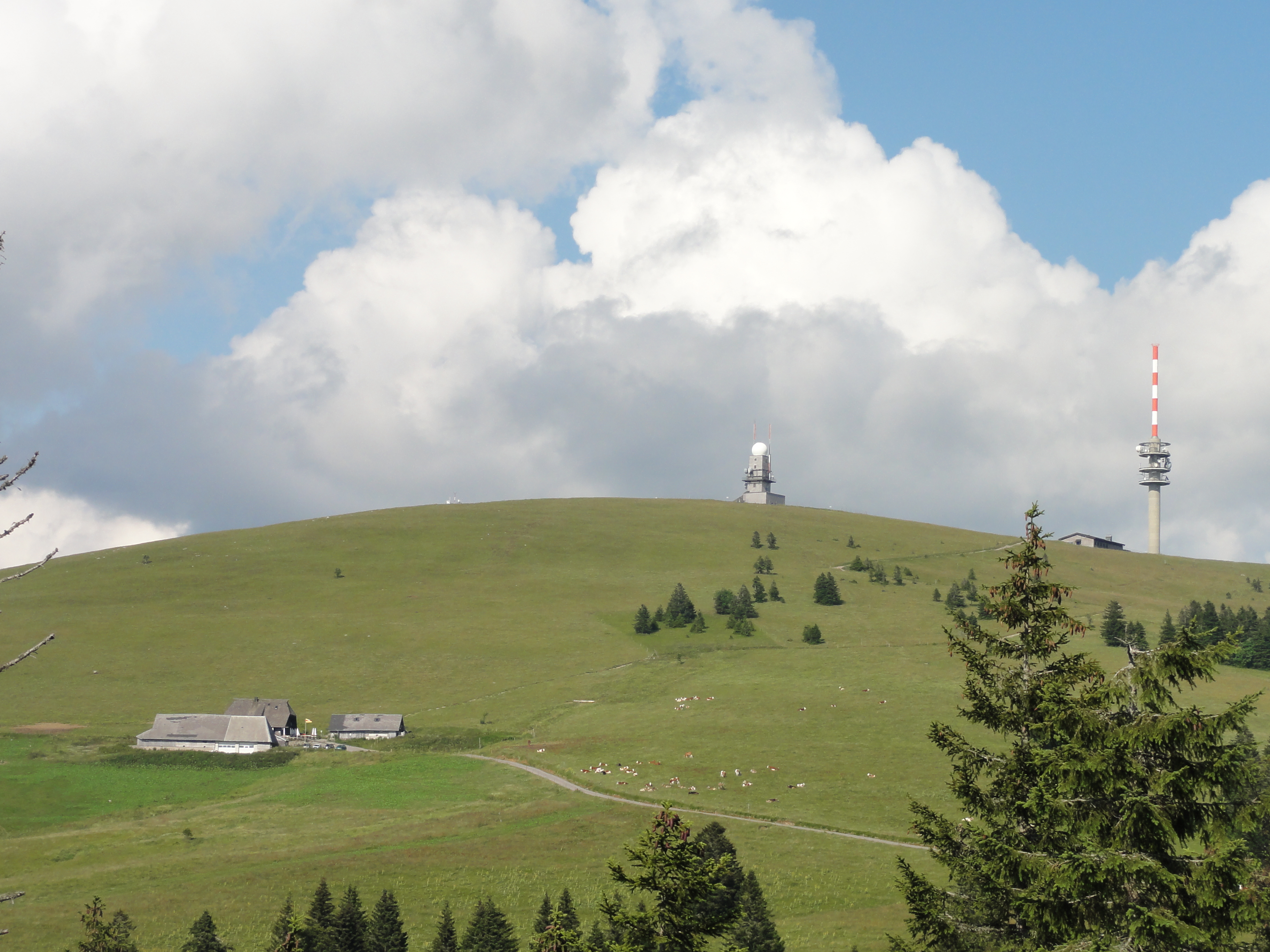
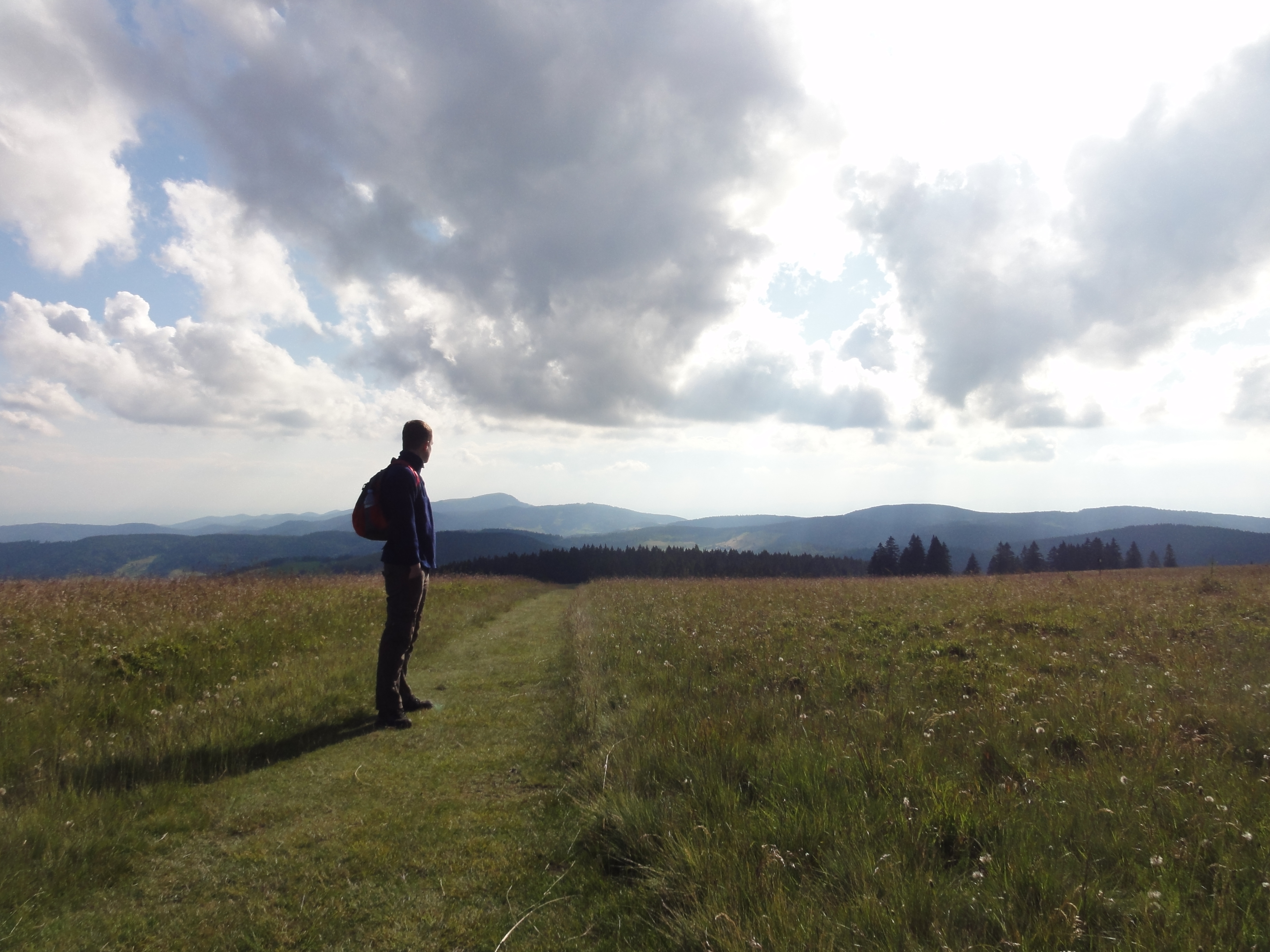
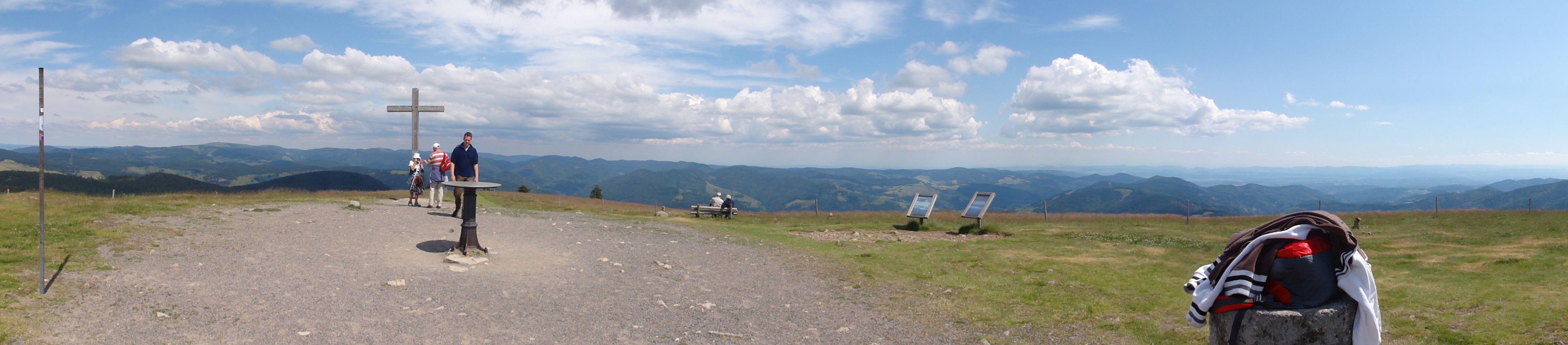
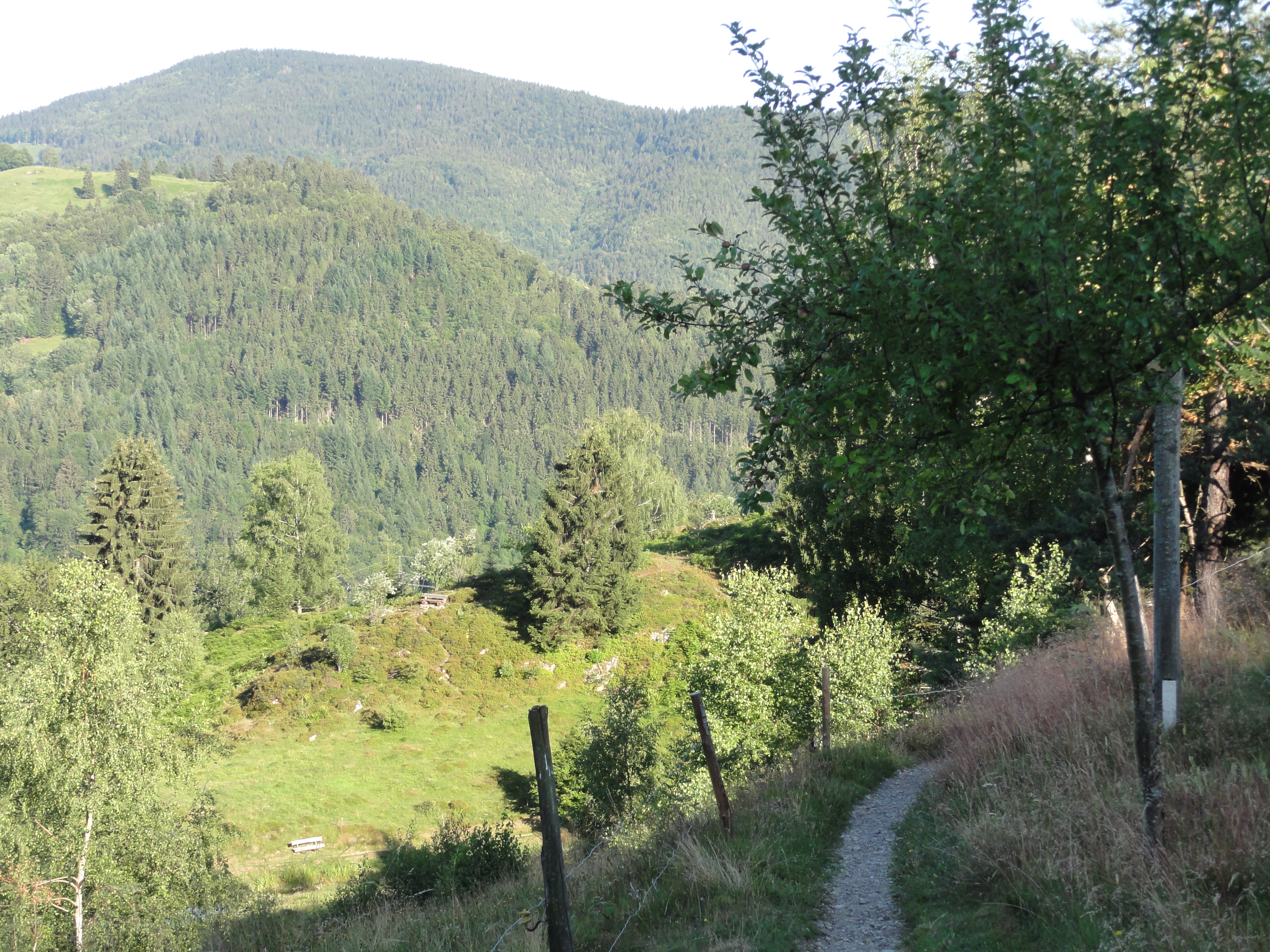
THIS is the summit we want to reach. Looks simple!

|
|
2011:07:02 10:10:04
---
47 deg 51' 58.20" N, 7 deg 52' 58.63" E
227
°
©
ml
|

|
|
2011:07:02 10:10:58
---
47 deg 51' 58.20" N, 7 deg 52' 58.63" E
254.5
°
©
ml
|

|
|
2011:07:02 10:14:23
---
47 deg 51' 56.86" N, 7 deg 52' 47.63" E
48.5
°
©
ml
|

|
|
2011:07:02 10:15:37
---
47 deg 51' 56.52" N, 7 deg 52' 48.17" E
232.25
°
©
ml
|

|
|
2011:07:02 10:15:47
---
47 deg 51' 48.47" N, 7 deg 52' 58.12" E
238.75
°
©
ml
|

|
|
2011:07:02 10:16:47
---
47 deg 51' 48.72" N, 7 deg 52' 57.86" E
166.25
°
©
ml
|

|
|
2011:07:02 10:18:01
---
47 deg 51' 47.11" N, 7 deg 52' 58.34" E
105
°
©
ml
|
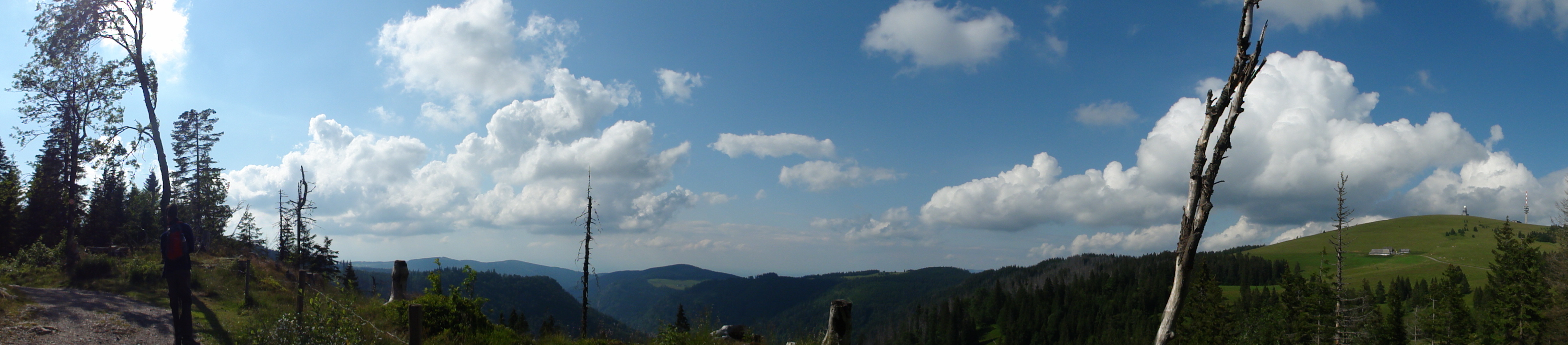
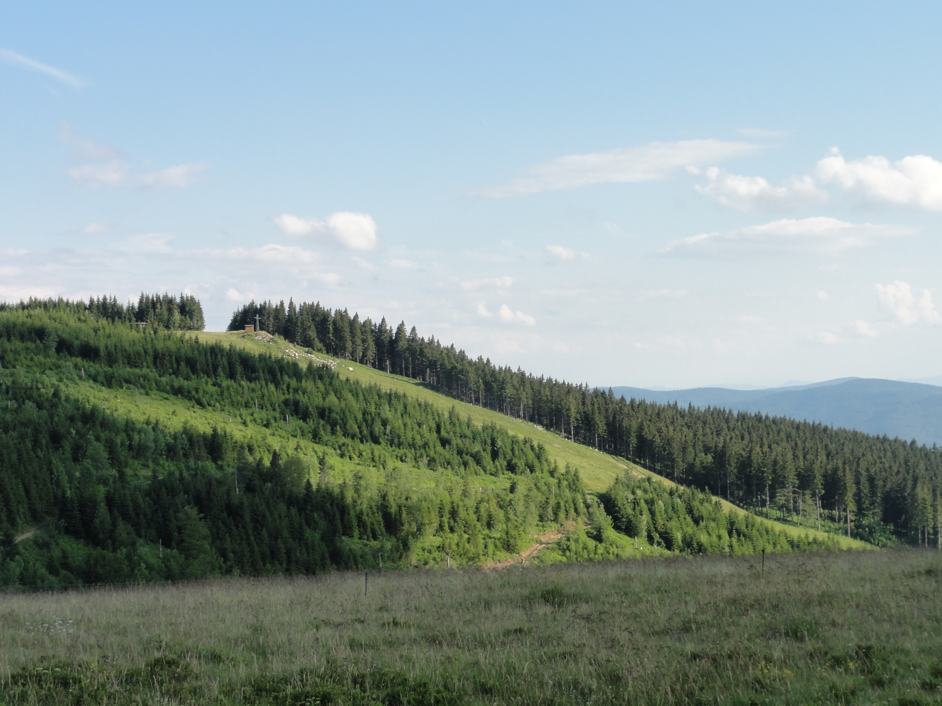
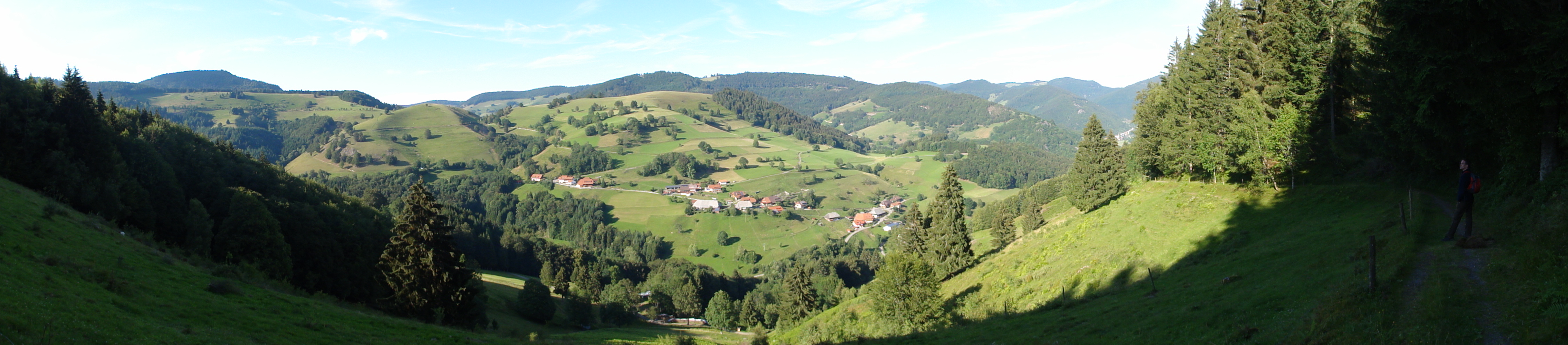
These are the largest continguous high level grass lands in Germany:

|
|
2011:07:02 10:32:16
---
47 deg 51' 47.11" N, 7 deg 52' 58.34" E
238
°
©
ml
|

|
|
2011:07:02 10:33:19
---
47 deg 51' 47.11" N, 7 deg 52' 58.34" E
281.25
°
©
ml
|

|
|
2011:07:02 10:39:12
---
47 deg 51' 21.02" N, 7 deg 52' 38.78" E
170
°
©
ml
|

|
|
2011:07:02 10:39:47
---
47 deg 51' 21.09" N, 7 deg 52' 38.86" E
249
°
©
ml
|
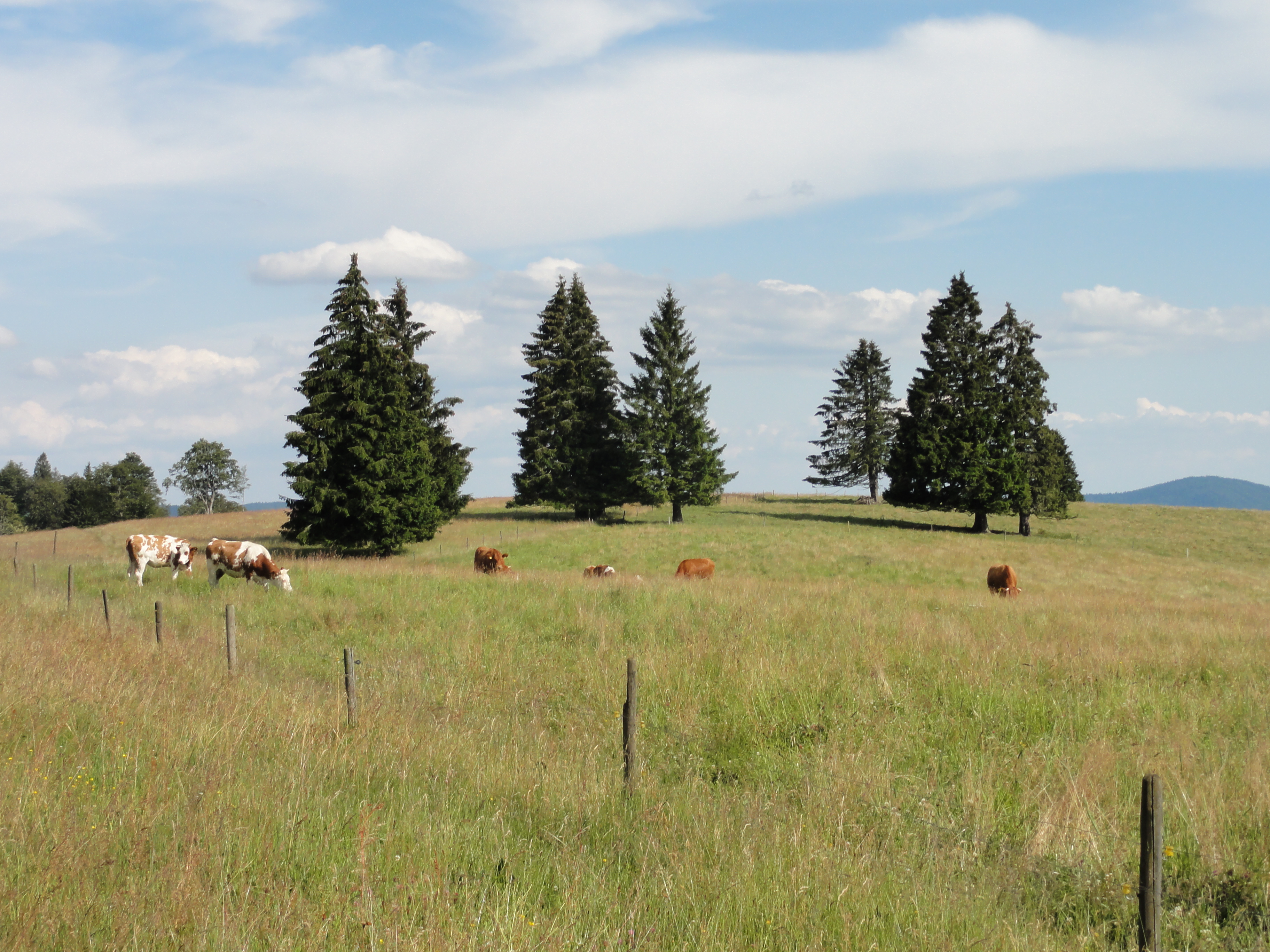
I have been told that these are called COWS ...

|
|
2011:07:02 11:00:13
---
47 deg 50' 55.17" N, 7 deg 52' 29.85" E
211
°
©
ml
|
...but that these here are HORSES! Please note that they have a nice disco look, having long blond hairs!

|
|
2011:07:02 11:00:37
---
47 deg 50' 55.41" N, 7 deg 52' 30.26" E
16.5
°
©
ml
|

|
|
2011:07:02 11:03:05
---
47 deg 50' 55.12" N, 7 deg 52' 25.01" E
232.75
°
©
ml
|

|
|
2011:07:02 11:03:45
---
47 deg 50' 54.15" N, 7 deg 52' 26.00" E
163.75
°
©
ml
|

|
|
2011:07:02 11:09:05
---
47 deg 50' 59.76" N, 7 deg 52' 15.17" E
13.5
°
©
ml
|

|
|
2011:07:02 11:09:34
---
47 deg 50' 59.38" N, 7 deg 52' 15.04" E
326.75
°
©
ml
|

|
|
2011:07:02 11:13:02
---
47 deg 50' 59.37" N, 7 deg 52' 14.90" E
210
°
©
ml
|

|
|
2011:07:02 11:13:10
---
47 deg 51' 2.41" N, 7 deg 52' 0.98" E
144.25
°
©
ml
|

|
|
2011:07:02 11:18:55
---
47 deg 50' 52.40" N, 7 deg 52' 2.99" E
288.5
°
©
ml
|

|
|
2011:07:02 12:27:33
---
47 deg 50' 35.05" N, 7 deg 51' 22.82" E
233.25
°
©
ml
|

|
|
2011:07:02 12:46:14
---
47 deg 50' 27.85" N, 7 deg 50' 55.08" E
339.75
°
©
ml
|

|
|
2011:07:02 13:06:17
---
47 deg 50' 10.63" N, 7 deg 50' 17.54" E
201.5
°
©
ml
|
|
|
2011:07:02 13:14:21
---
47 deg 50' 10.29" N, 7 deg 50' 17.21" E
229.75
°
©
ml
|
|
|
2011:07:02 13:29:24
---
47 deg 49' 59.32" N, 7 deg 50' 31.70" E
289.75
°
©
ml
|
|
|
2011:07:02 13:52:29
---
47 deg 49' 35.17" N, 7 deg 50' 26.40" E
298.75
°
©
ml
|
|
|
|
2011:07:02 13:52:29
---
47 deg 49' 35.17" N, 7 deg 50' 26.40" E
298.75
°
©
ml
|
|
|
2011:07:02 13:52:43
---
47 deg 49' 35.26" N, 7 deg 50' 25.97" E
290.75
°
©
ml
|
|
|
2011:07:02 13:56:07
---
47 deg 49' 35.18" N, 7 deg 50' 25.46" E
8.25
°
©
ml
|
|
|
|
2011:07:02 13:52:29
---
47 deg 49' 35.17" N, 7 deg 50' 26.40" E
298.75
°
©
ml
|
|
|
2011:07:02 14:12:54
---
47 deg 49' 35.08" N, 7 deg 50' 29.27" E
303.75
°
©
ml
|

|
|
2011:07:02 14:35:47
---
47 deg 49' 22.77" N, 7 deg 50' 14.08" E
122.75
°
©
ml
|

|
|
2011:07:02 14:37:00
---
47 deg 49' 22.78" N, 7 deg 50' 14.62" E
52.75
°
©
ml
|
|
|
2011:07:02 14:52:17
---
47 deg 49' 20.71" N, 7 deg 49' 58.71" E
328
°
©
ml
|
|
|
2011:07:02 14:52:32
---
47 deg 49' 21.16" N, 7 deg 49' 58.87" E
127.25
°
©
ml
|
|
|
2011:07:02 14:53:50
---
47 deg 49' 21.05" N, 7 deg 49' 58.83" E
4.25
°
©
ml
|

|
|
2011:07:02 14:54:58
---
47 deg 49' 21.35" N, 7 deg 49' 58.97" E
136
°
©
ml
|
|
|
2011:07:02 15:13:18
---
47 deg 49' 21.07" N, 7 deg 49' 58.82" E
187
°
©
ml
|

|
|
2011:07:02 14:55:13
---
47 deg 49' 21.36" N, 7 deg 49' 58.91" E
211.75
°
©
ml
|
Testing my camers's TIMER:
|
|
2011:07:02 15:09:32
---
47 deg 49' 21.10" N, 7 deg 49' 59.21" E
167.5
°
©
ml
|
|
|
2011:07:02 15:14:48
---
47 deg 49' 21.39" N, 7 deg 49' 55.66" E
325.75
°
©
ml
|

|
|
2011:07:02 15:20:45
---
47 deg 49' 18.67" N, 7 deg 49' 51.13" E
145.25
°
©
ml
|

|
|
2011:07:02 15:23:52
---
47 deg 49' 16.66" N, 7 deg 49' 56.91" E
357.25
°
©
ml
|
|
|
2011:07:02 15:24:00
---
47 deg 49' 17.25" N, 7 deg 49' 57.10" E
179.5
°
©
ml
|
|
|
2011:07:02 15:26:38
---
47 deg 49' 14.18" N, 7 deg 50' 1.01" E
200
°
©
ml
|
|
2011:07:02 15:36:55
---
47 deg 49' 16.51" N, 7 deg 50' 2.65" E
 80.75
°
©
ml
80.75
°
©
ml
|
|
|
2011:07:02 15:37:53
---
47 deg 49' 13.47" N, 7 deg 50' 13.42" E
104
°
©
ml
|
|
|
2011:07:02 15:38:36
---
47 deg 49' 13.99" N, 7 deg 50' 14.38" E
87.5
°
©
ml
|
|
|
2011:07:02 15:49:41
---
47 deg 49' 14.14" N, 7 deg 50' 26.84" E
351
°
©
ml
|
|
|
|
2011:07:02 15:26:38
---
47 deg 49' 14.18" N, 7 deg 50' 1.01" E
200
°
©
ml
|

|
|
2011:07:02 15:41:08
---
47 deg 49' 17.73" N, 7 deg 50' 21.05" E
91.5
°
©
ml
|
|
|
2011:07:02 15:50:16
---
47 deg 49' 13.83" N, 7 deg 50' 26.29" E
231
°
©
ml
|
|
|
2011:07:02 15:54:54
---
47 deg 49' 12.56" N, 7 deg 50' 26.30" E
112.5
°
©
ml
|

|
|
2011:07:02 16:01:17
---
47 deg 49' 13.79" N, 7 deg 50' 29.78" E
106.25
°
©
ml
|
|
|
2011:07:02 16:02:26
---
47 deg 49' 12.40" N, 7 deg 50' 30.39" E
172.5
°
©
ml
|
|
|
2011:07:02 16:06:16
---
47 deg 49' 11.63" N, 7 deg 50' 30.71" E
161
°
©
ml
|
|
|
2011:07:02 16:08:04
---
47 deg 49' 7.67" N, 7 deg 50' 40.90" E
127.25
°
©
ml
|
|
|
2011:07:02 16:21:14
---
47 deg 49' 1.18" N, 7 deg 51' 4.55" E
302.25
°
©
ml
|
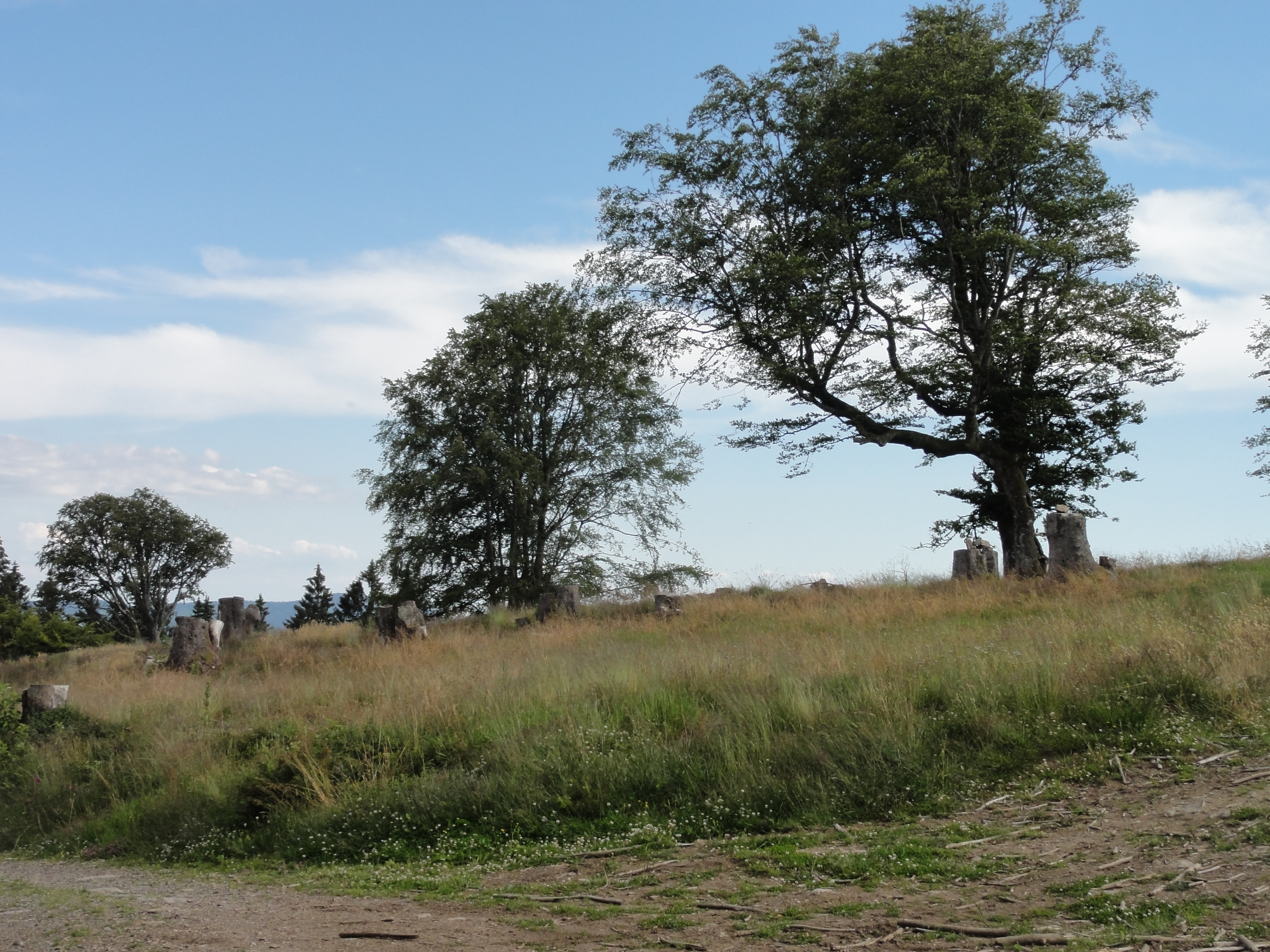
These planes are called "Obere Stuhlebene". It is ancient grazing land, and has been reconstructed in its medieval appearance. For me, it looks nearly like an English Park by !Fürst Pückler! (beside the cattle!-)

|
|
2011:07:02 16:25:55
---
47 deg 49' 0.79" N, 7 deg 51' 4.55" E
147
°
©
ml
|
|
|
2011:07:02 16:26:29
---
47 deg 48' 56.00" N, 7 deg 51' 16.28" E
137
°
©
ml
|
|
|
2011:07:02 16:31:50
---
47 deg 48' 52.18" N, 7 deg 51' 25.20" E
185.75
°
©
ml
|
|
|
2011:07:02 16:36:02
---
47 deg 48' 45.84" N, 7 deg 51' 35.13" E
185.5
°
©
ml
|
|
|
2011:07:02 16:36:29
---
47 deg 48' 45.50" N, 7 deg 51' 36.02" E
160.75
°
©
ml
|
|
|
2011:07:02 16:38:25
---
47 deg 48' 43.58" N, 7 deg 51' 38.30" E
169.5
°
©
ml
|
|
|
2011:07:02 16:38:46
---
47 deg 48' 43.74" N, 7 deg 51' 38.63" E
300
°
©
ml
|
|
|
2011:07:02 16:38:59
---
47 deg 48' 43.66" N, 7 deg 51' 38.72" E
228.25
°
©
ml
|
|
|
2011:07:02 16:39:12
---
47 deg 48' 43.56" N, 7 deg 51' 38.78" E
179.25
°
©
ml
|
|
|
2011:07:02 16:45:01
---
47 deg 48' 43.56" N, 7 deg 51' 38.78" E
167
°
©
ml
|

|
|
2011:07:02 16:45:44
---
47 deg 48' 40.28" N, 7 deg 51' 54.38" E
87.5
°
©
ml
|
|
|
2011:07:02 16:49:42
---
47 deg 48' 40.27" N, 7 deg 51' 54.64" E
152.25
°
©
ml
|
|
|
2011:07:02 16:50:24
---
47 deg 48' 34.70" N, 7 deg 52' 2.18" E
194
°
©
ml
|
|
|
2011:07:02 16:55:07
---
47 deg 48' 28.66" N, 7 deg 52' 3.71" E
223.75
°
©
ml
|

|
|
2011:07:02 16:58:37
---
47 deg 48' 27.77" N, 7 deg 52' 4.04" E
73.75
°
©
ml
|
|
|
2011:07:02 17:05:46
---
47 deg 48' 20.15" N, 7 deg 52' 21.83" E
62
°
©
ml
|

|
|
2011:07:02 17:11:52
---
47 deg 48' 16.48" N, 7 deg 52' 37.82" E
11.5
°
©
ml
|
|
|
2011:07:02 17:12:26
---
47 deg 48' 16.24" N, 7 deg 52' 37.64" E
60.75
°
©
ml
|
|
|
2011:07:02 17:13:17
---
47 deg 48' 15.56" N, 7 deg 52' 39.82" E
335.25
°
©
ml
|
This village is called "Aytern" (which sounds like the German word for "purulence"; and so we tried not to get in contact !-)
|
|
2011:07:02 17:15:34
---
47 deg 48' 16.50" N, 7 deg 52' 38.72" E
11
°
©
ml
|
|
|
2011:07:02 17:15:43
---
47 deg 48' 16.22" N, 7 deg 52' 44.09" E
81
°
©
ml
|
|
|
2011:07:02 17:16:45
---
47 deg 48' 16.34" N, 7 deg 52' 44.18" E
70.75
°
©
ml
|
|
|
2011:07:02 17:29:45
---
47 deg 48' 1.64" N, 7 deg 53' 10.33" E
40.5
°
©
ml
|
|
|
2011:07:02 17:43:58
---
47 deg 47' 54.27" N, 7 deg 53' 39.10" E
116.5
°
©
ml
|

|
|
2011:07:02 17:44:21
---
47 deg 47' 54.27" N, 7 deg 53' 39.10" E
175.75
°
©
ml
|
|
|
2011:07:02 17:46:18
---
47 deg 47' 54.68" N, 7 deg 53' 31.97" E
170
°
©
ml
|
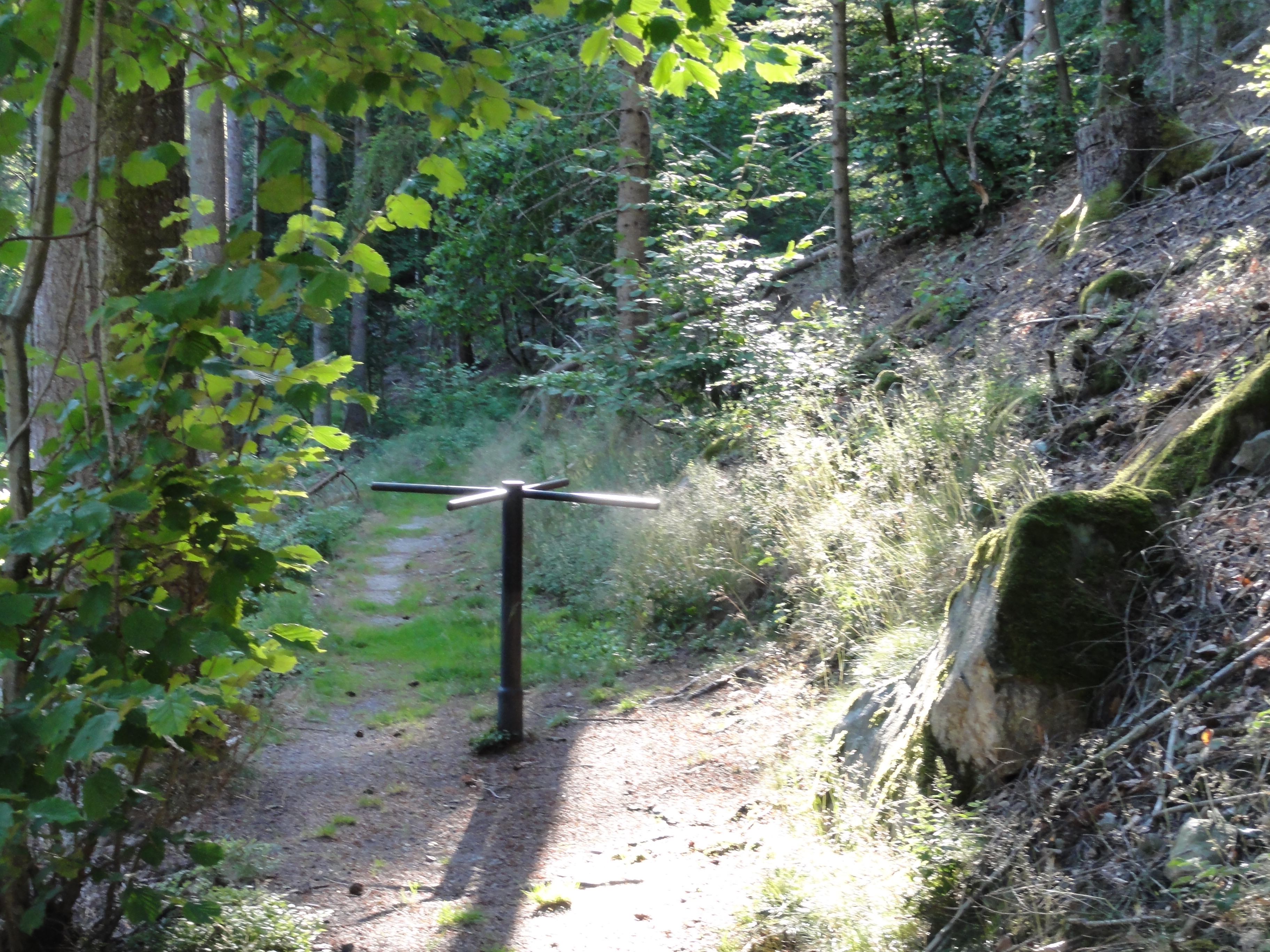
There were a few of these misterious turnstile in the middle of nowhere. Perhaps the Waldschrat or the gnomes have to pay toll here?
|
|
2011:07:02 17:52:41
---
47 deg 47' 54.68" N, 7 deg 53' 31.97" E
246
°
©
ml
|

|
|
2011:07:02 17:57:20
---
47 deg 47' 54.68" N, 7 deg 53' 31.97" E
83
°
©
ml
|
|
|
2011:07:02 17:57:33
---
47 deg 47' 54.68" N, 7 deg 53' 31.97" E
143
°
©
ml
|
|
|
2011:07:02 18:00:49
---
47 deg 47' 54.68" N, 7 deg 53' 31.97" E
204.5
°
©
ml
|
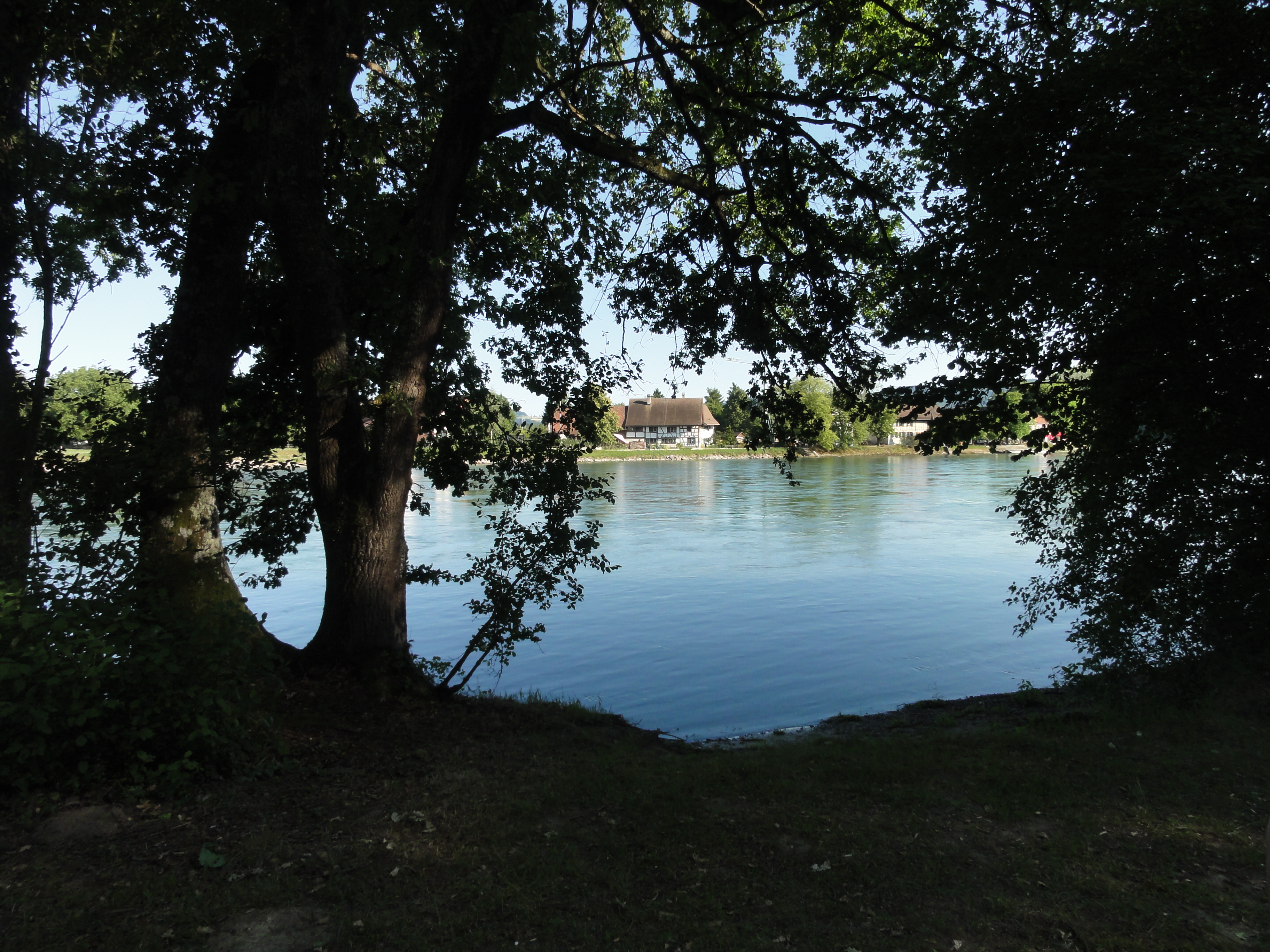
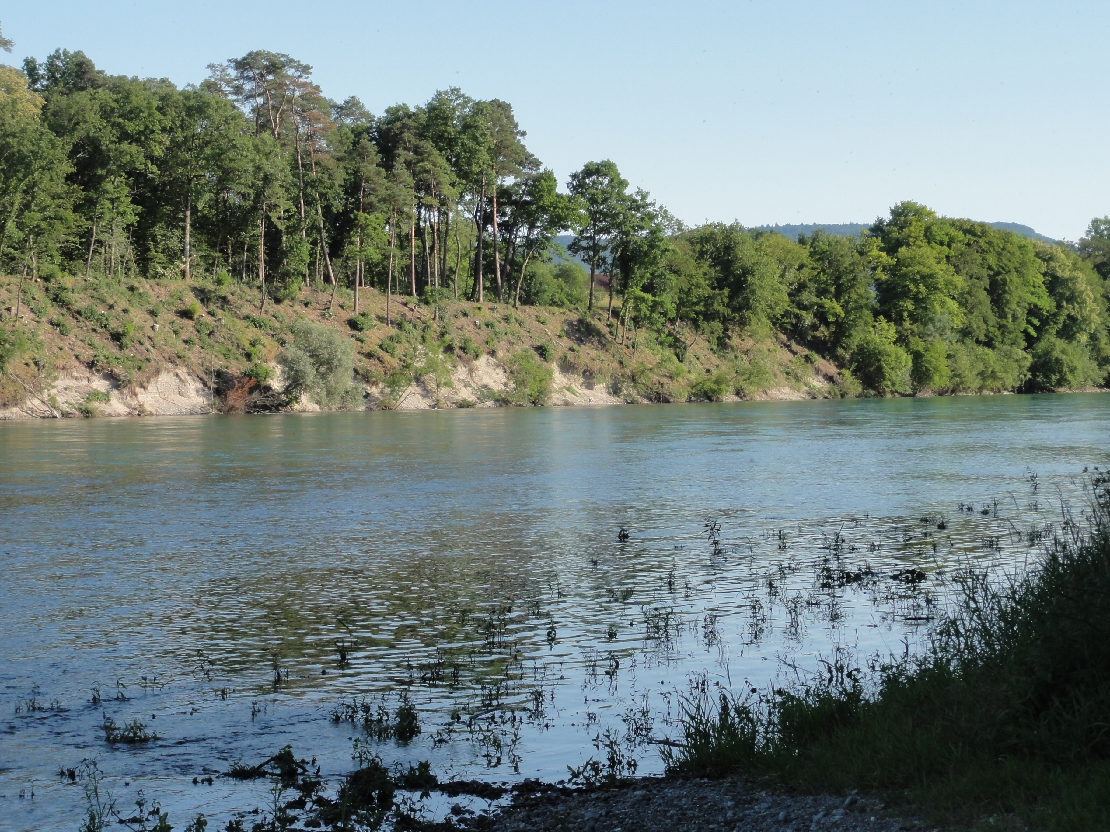
Finally I spent a last holiday at the Rhine. This is the beautiful grilling place of Lottstetten. It is common property. It is not only ALLOWED to make a fire, but even the material is provided by the communal administration!
|
|
2011:07:03 18:10:16
---
47 deg 36' 29.99" N, 8 deg 35' 53.38" E
287.75
°
©
ml
|
|
|
2011:07:03 17:55:41
---
47 deg 36' 45.03" N, 8 deg 36' 13.65" E
321.75
°
©
ml
|
|
|
2011:07:03 17:55:56
---
47 deg 36' 45.03" N, 8 deg 36' 13.65" E
263.5
°
©
ml
|
|
|
2011:07:03 17:56:44
---
47 deg 36' 45.03" N, 8 deg 36' 13.65" E
262.25
°
©
ml
|
The river it the border, and on the other side is a Swiss village called Ellikon (I've never been there, but there is a cable ferry!)
|
|
2011:07:03 17:26:28
---
174.5
°
©
ml
|

|
|
2011:07:03 18:15:16
---
47 deg 36' 27.02" N, 8 deg 35' 47.57" E
173.5
°
©
ml
|
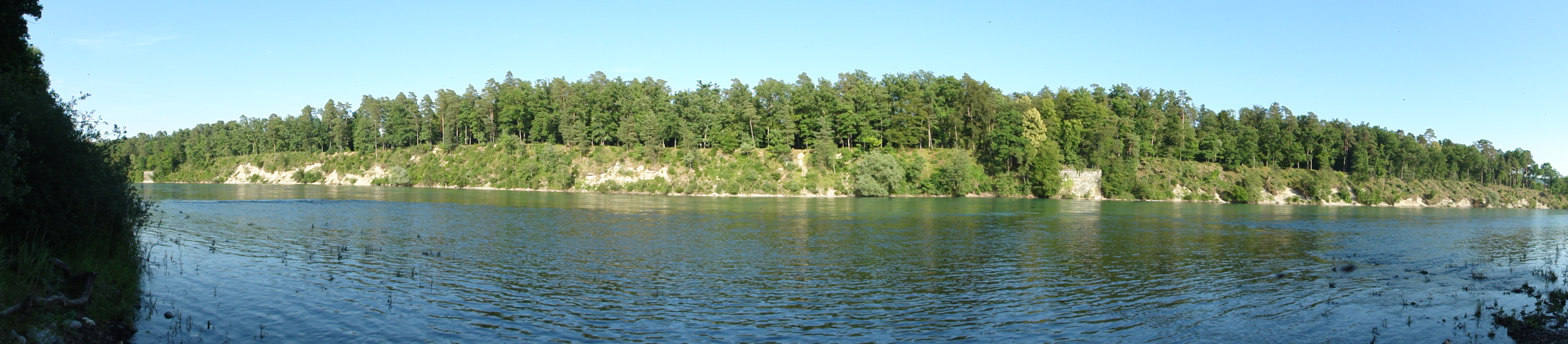
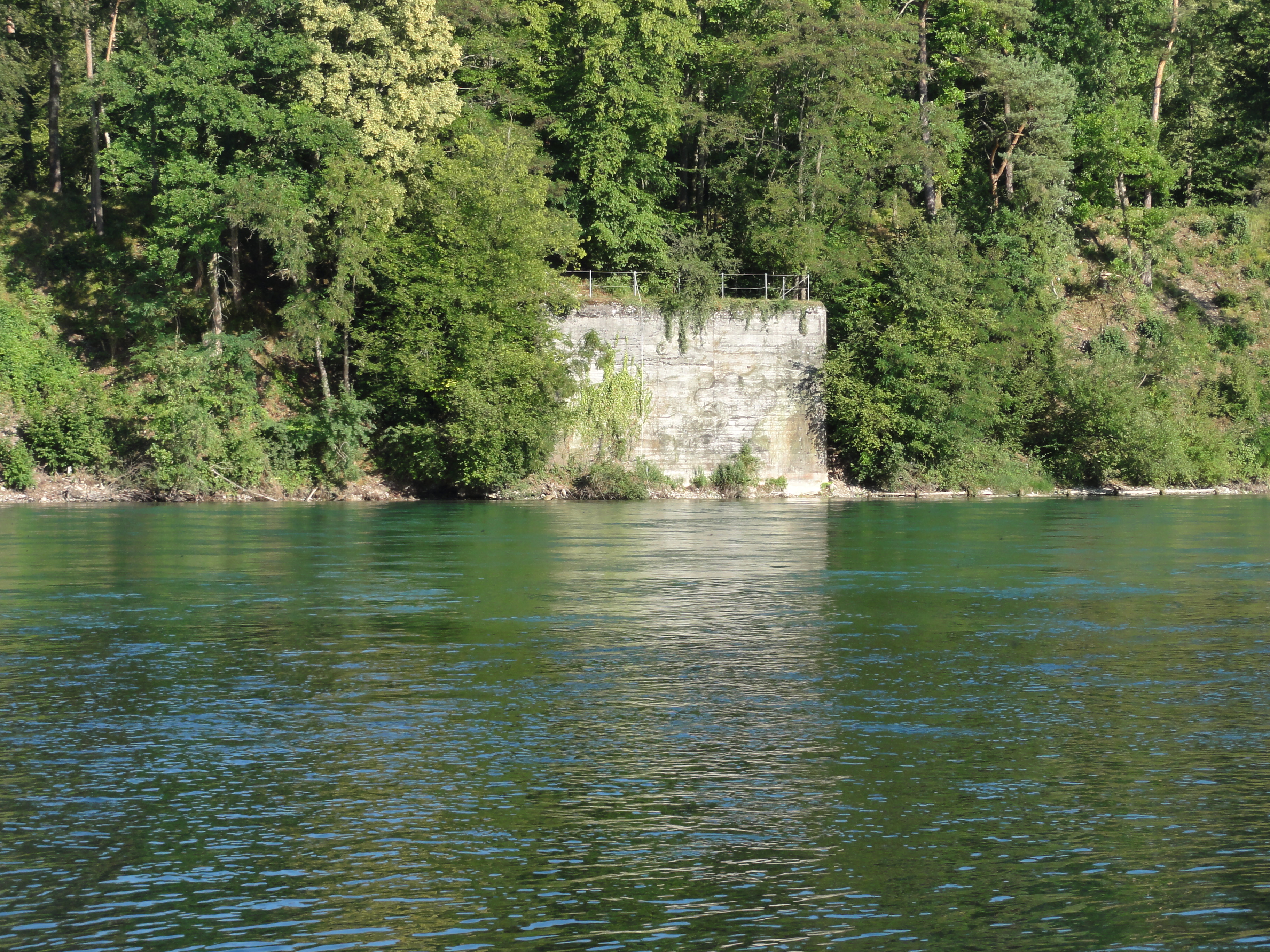
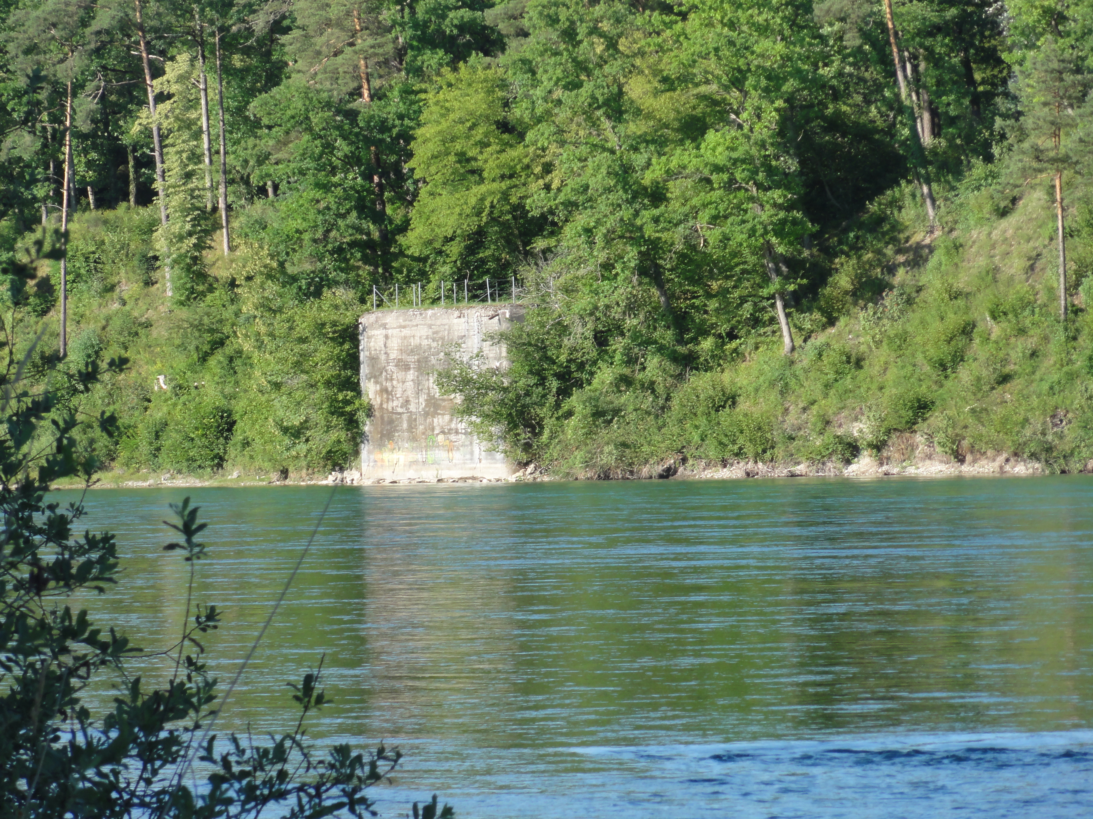
The Rhine is the border, so there are some misterious fortifications on the other side:
|
|
2011:07:03 17:42:08
---
47 deg 36' 29.51" N, 8 deg 35' 51.91" E
116.75
°
©
ml
|
|
|
2011:07:03 17:42:40
---
47 deg 36' 29.51" N, 8 deg 35' 51.91" E
148.75
°
©
ml
|
|
|
2011:07:03 17:42:50
---
47 deg 36' 29.51" N, 8 deg 35' 51.91" E
13.75
°
©
ml
|
The water is very clean (since we are ABOVE Basel !-)

|
|
2011:07:03 17:43:40
---
47 deg 36' 46.18" N, 8 deg 36' 13.19" E
118
°
©
ml
|
|
|
2011:07:03 17:45:17
---
47 deg 36' 44.94" N, 8 deg 36' 20.86" E
193
°
©
ml
|
Dead trees even here (but well hidden!)
|
|
2011:07:03 18:08:07
---
47 deg 36' 29.85" N, 8 deg 35' 52.90" E
144.75
°
©
ml
|
back to photos' home / zurück zur Photo-Übersicht
markuslepper.eu
2011-07-28_13h30


produced with
eu.bandm.metatools.d2d
and
XSLT
FYI view
page source text