 235.25
°
©
ml
235.25
°
©
ml
Berlin (Spring) Tours / V
1
From Gehrensee-Straße to Ahrensfelde
back to photos' home / zurück zur Photo-Übersicht
back to tours' home / zurück zur ersten Tour
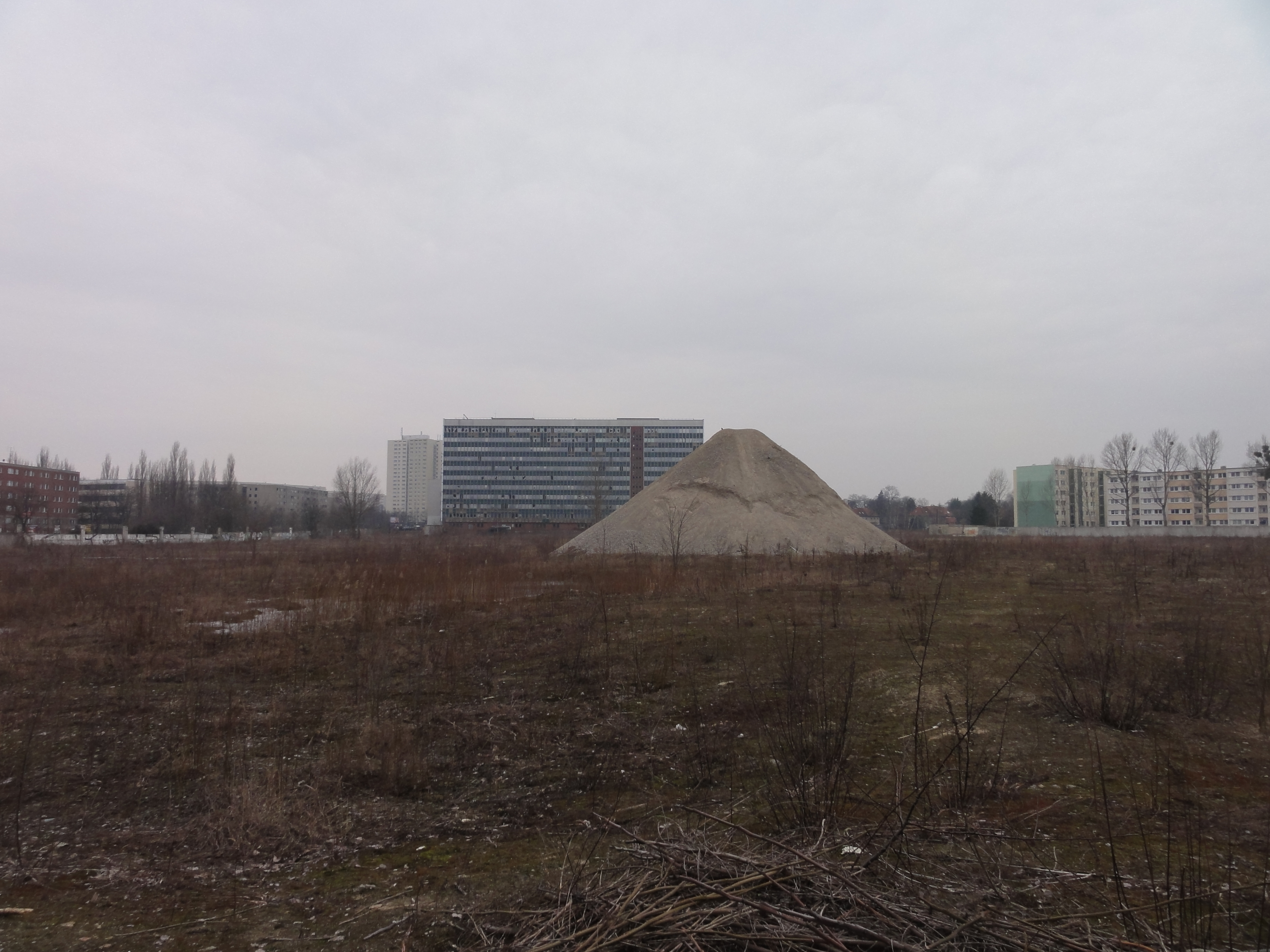
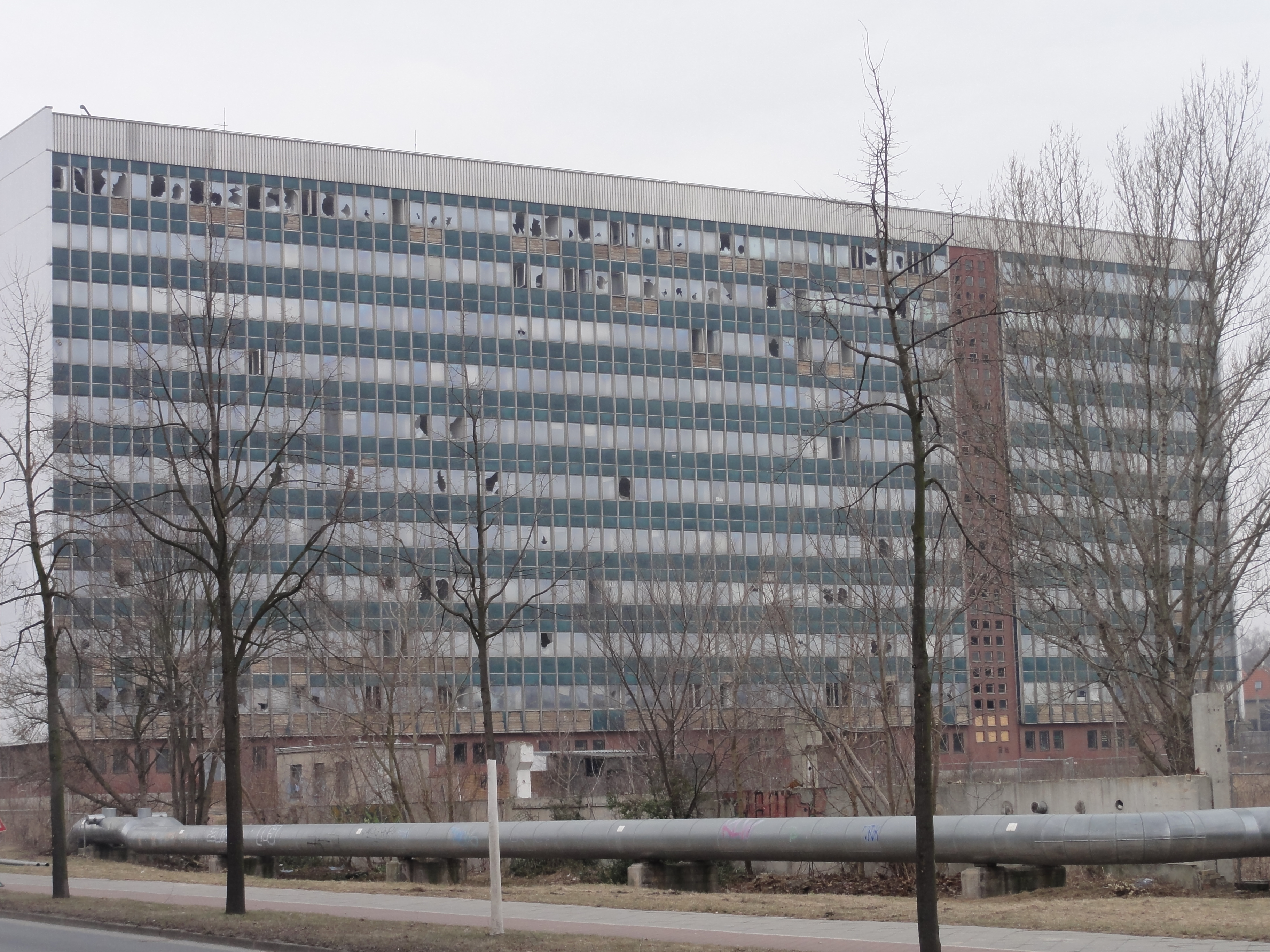
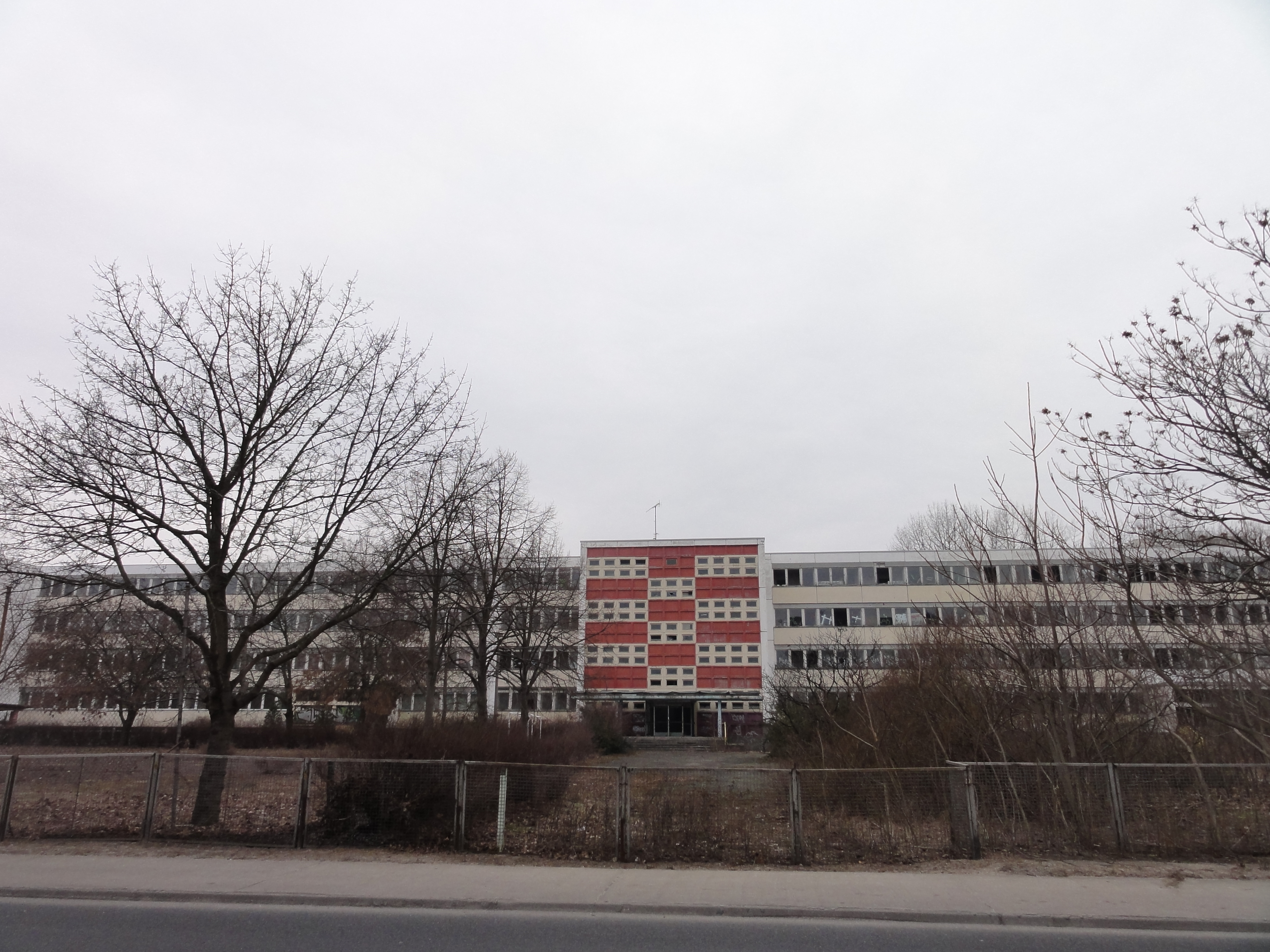
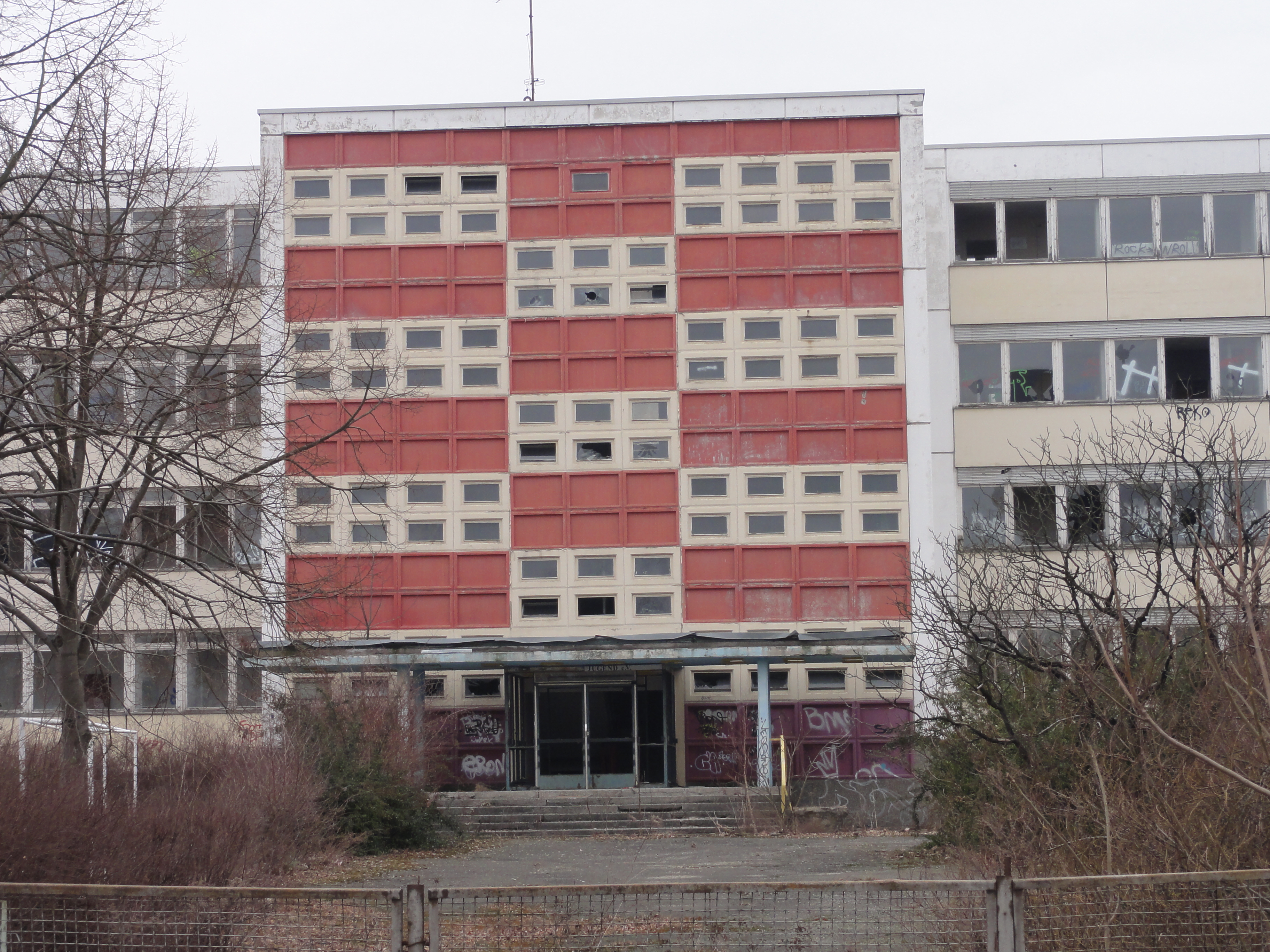
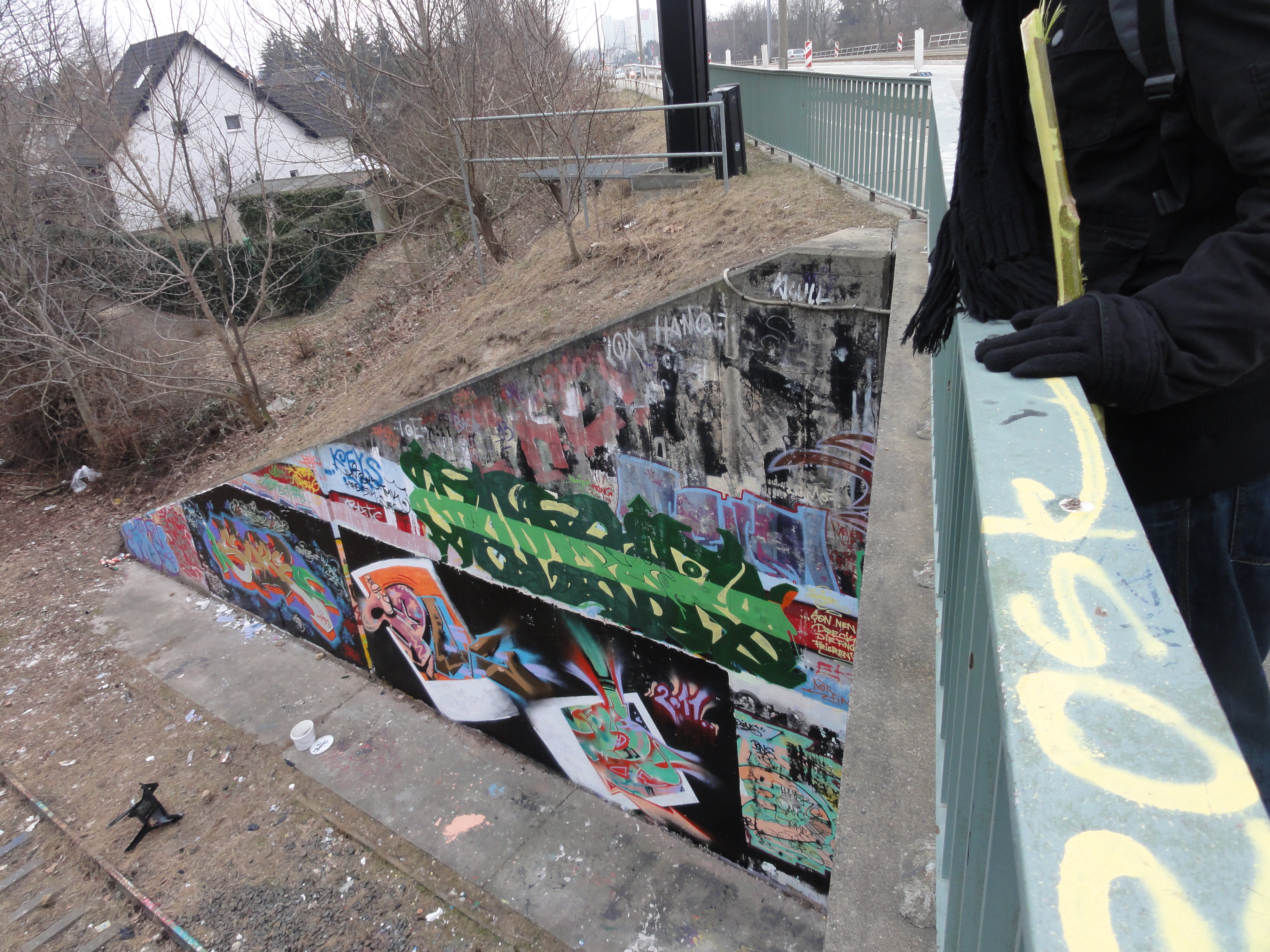
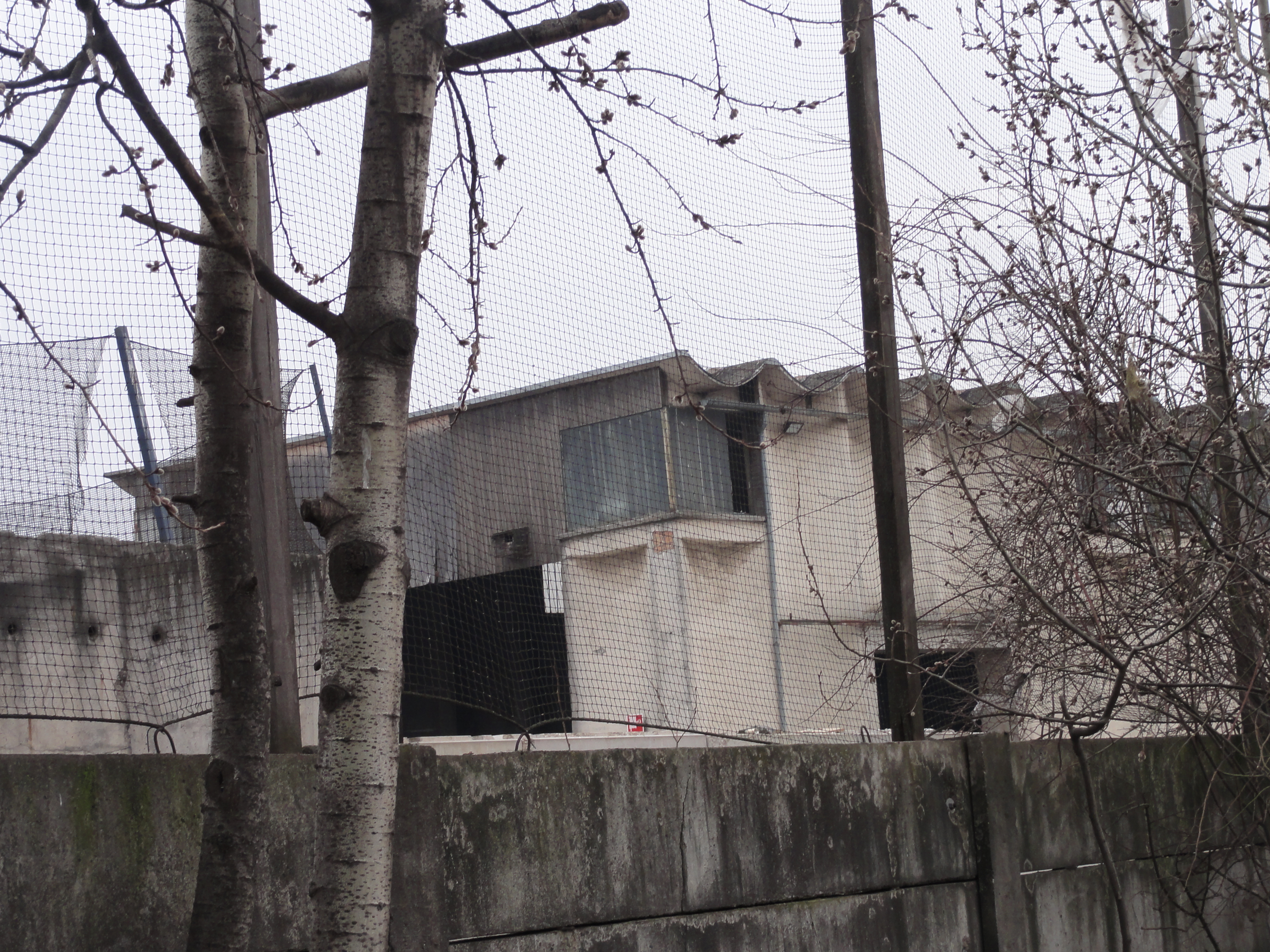
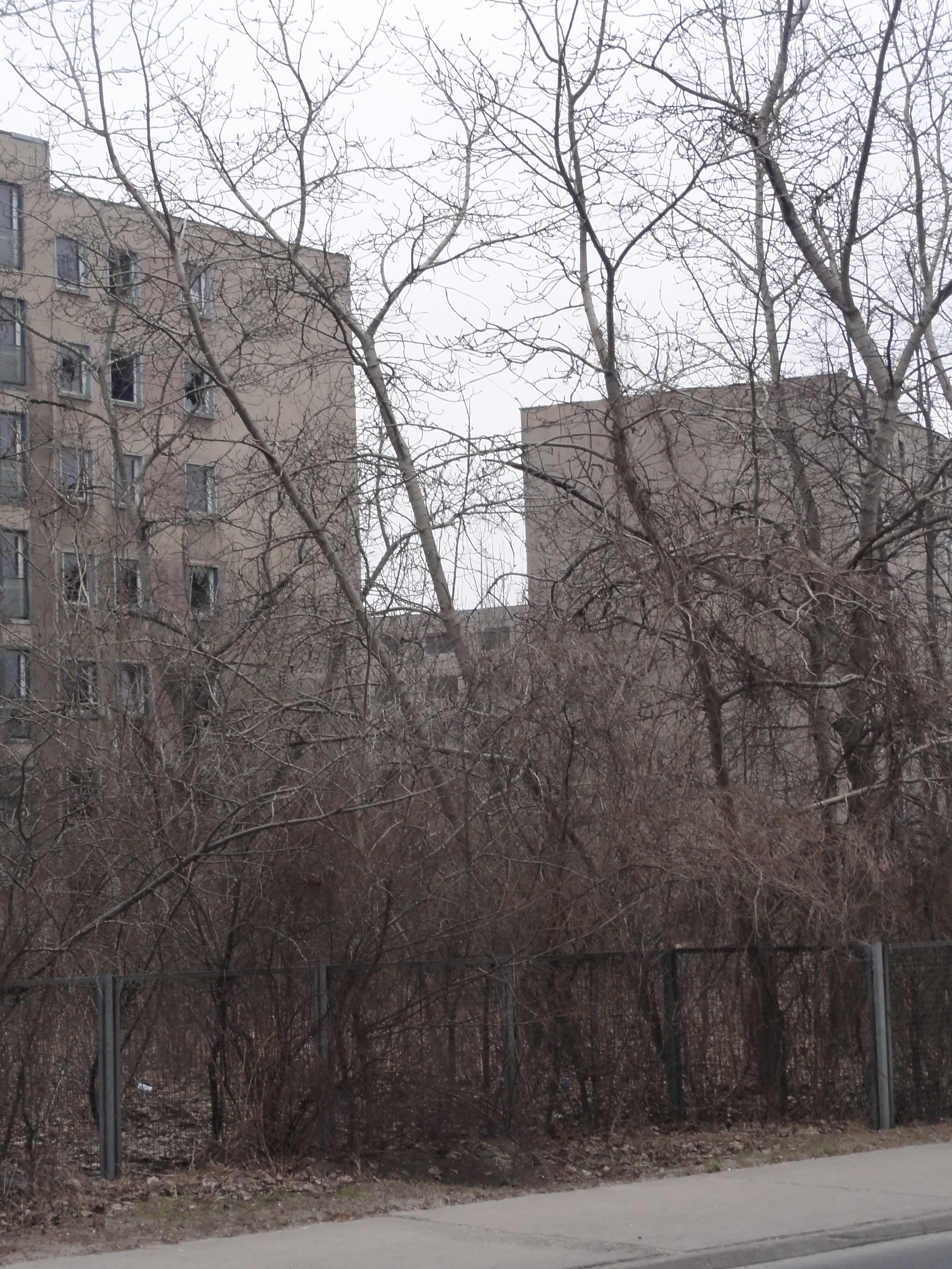
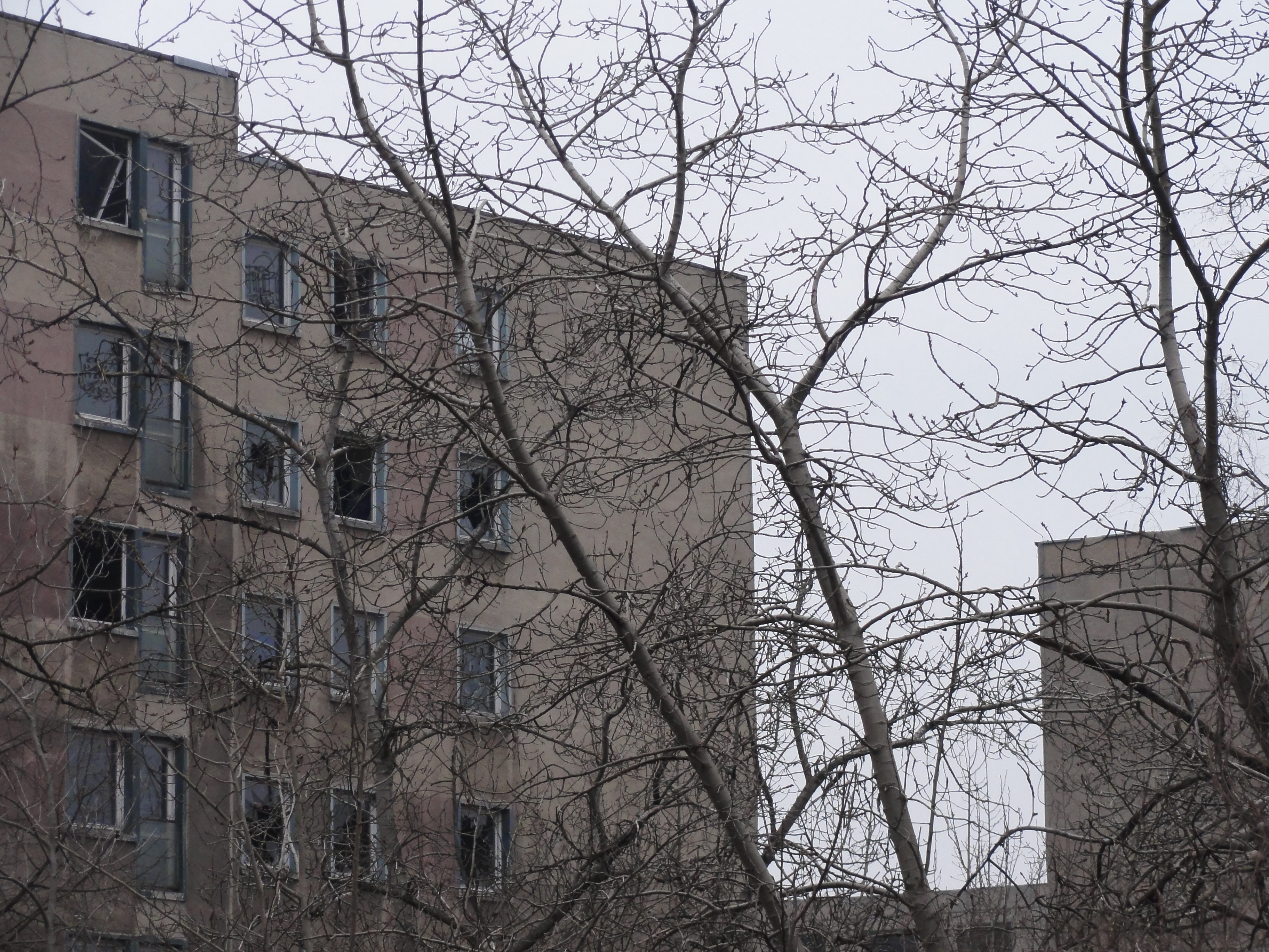
This was a very interesting tour. At the beginning, it was not very straight-forward, but more a round tour, first by intention, then accidentially.
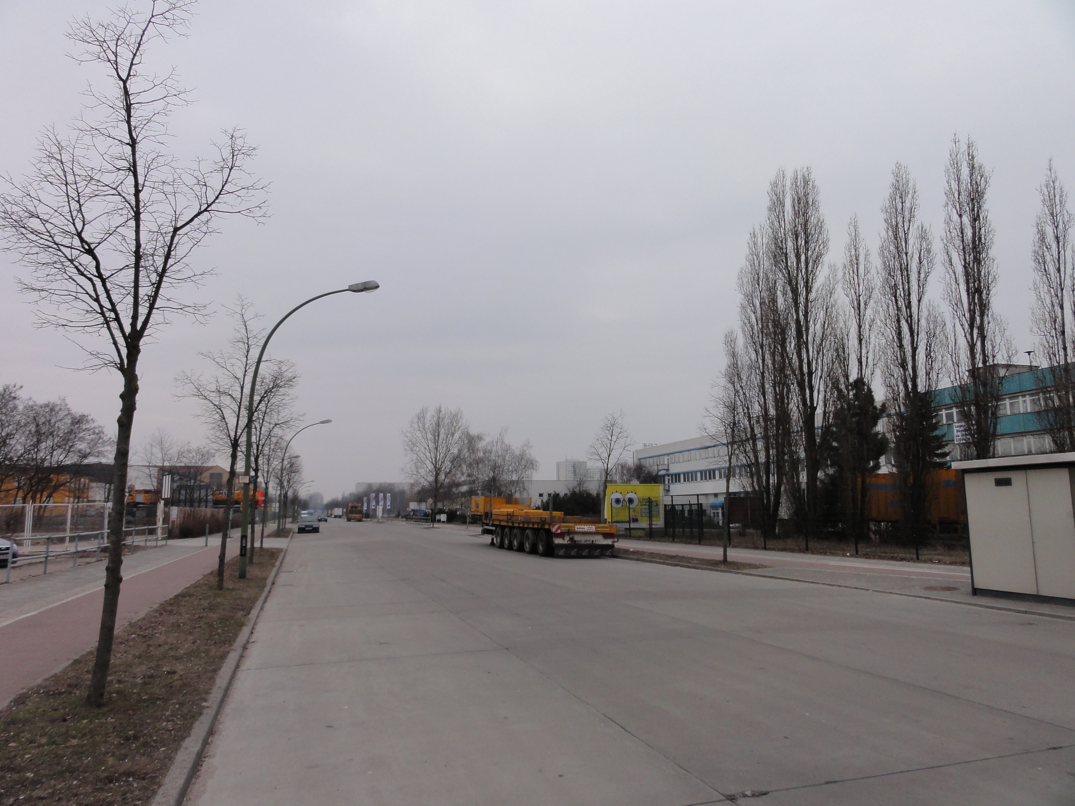
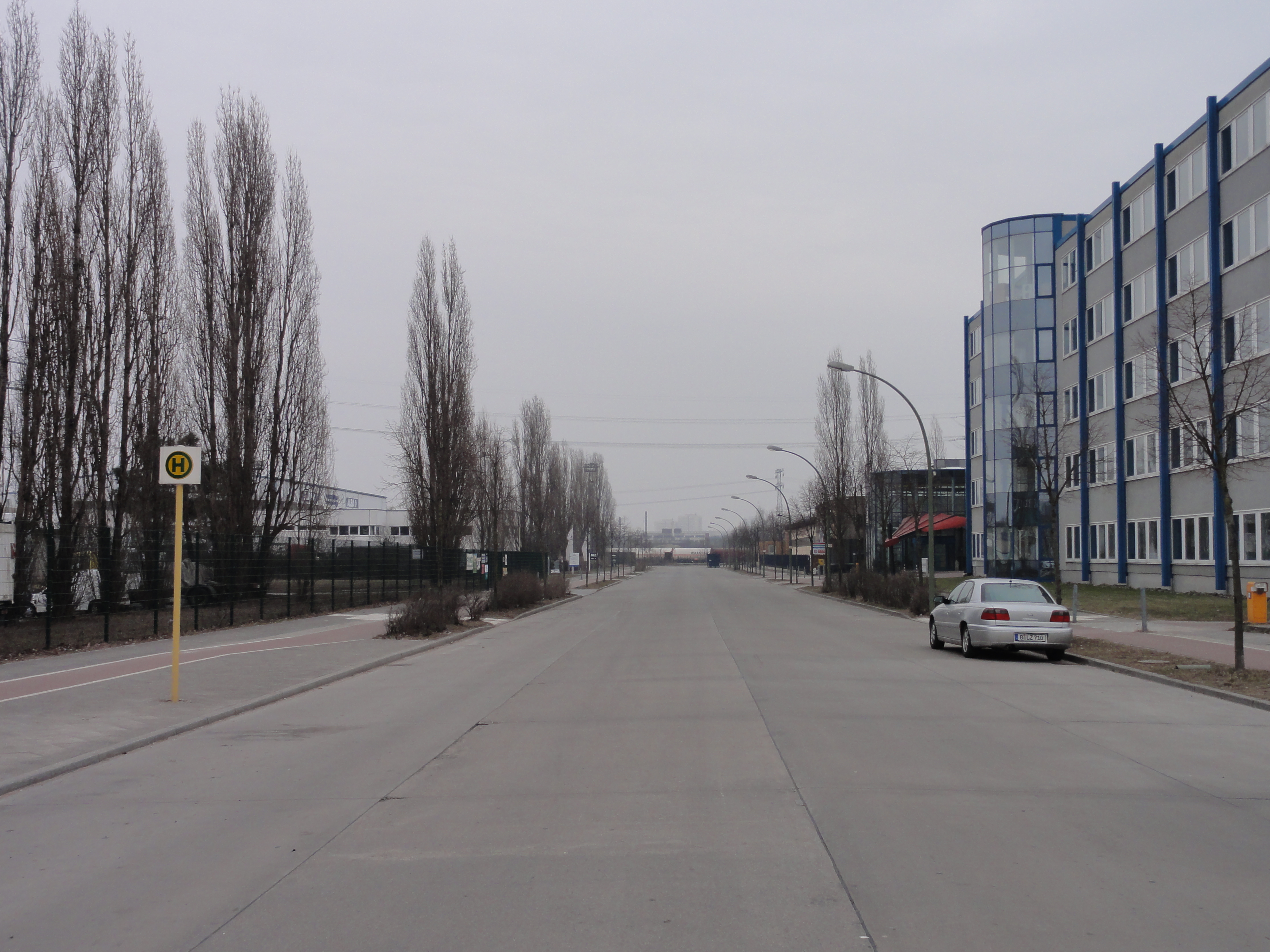
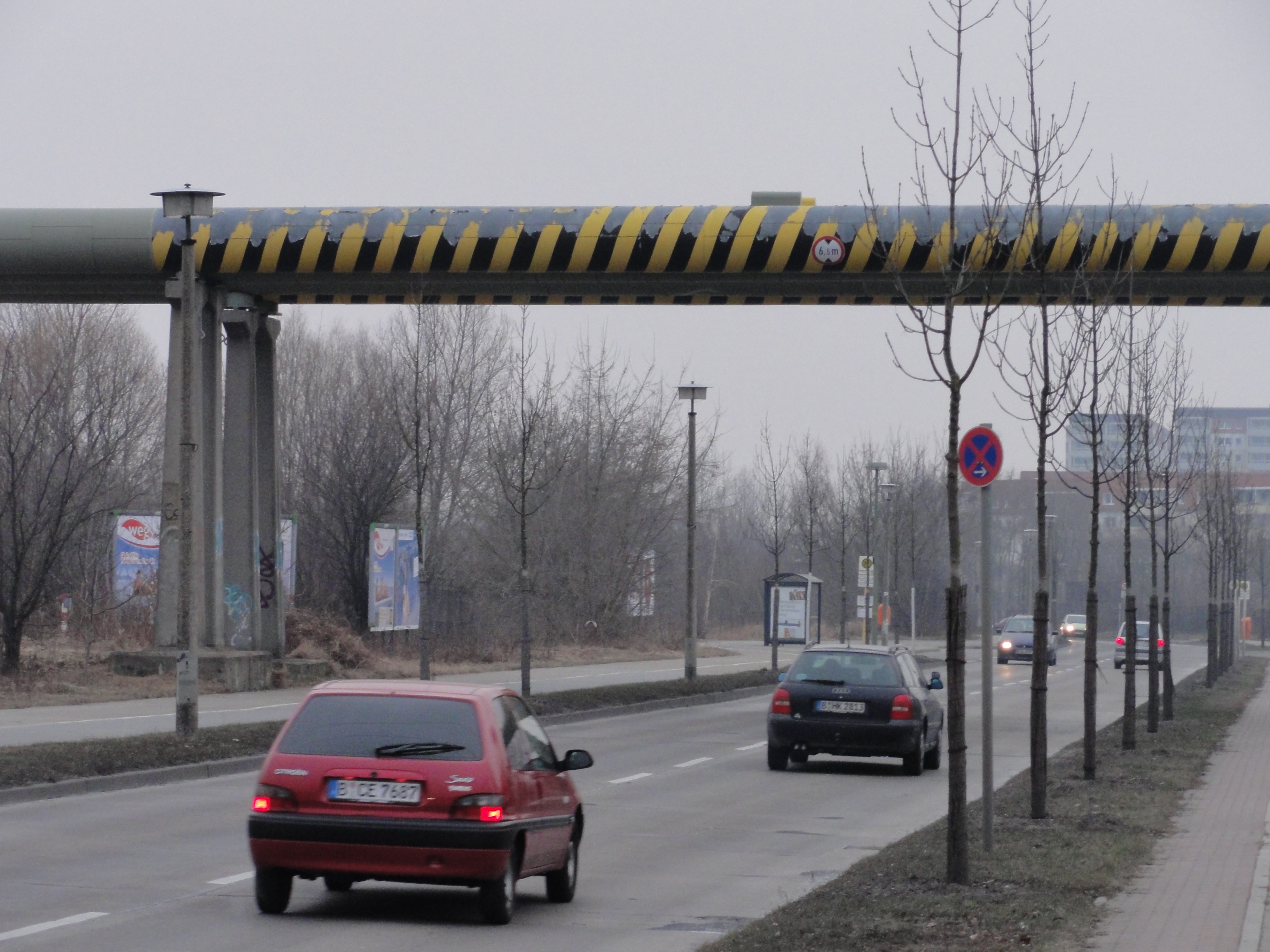
We came with the M5-tram.One can also take the M17. But we didn't jump off at "Gehrenseestraße", but one stop later, at "Anne-Ebermann-Straße", because we wanted to explore the surroundings. It's worth!
|
|
|
2011:02:27 14:59:31
---
235.25
°
©
ml
|
|
2011:02:27 15:03:04
---
 285.5
°
©
ml
285.5
°
©
ml
|

|
|
2011:02:27 15:03:14
---
52 deg 33' 5.14" N, 13 deg 30' 52.29" E
289.25
°
©
ml
|
|
2011:02:27 15:03:25
---
52 deg 33' 4.98" N, 13 deg 30' 51.44" E
 93
°
©
ml
93
°
©
ml
|
|
|
2011:02:27 15:04:00
---
52 deg 33' 3.93" N, 13 deg 30' 49.26" E
273
°
©
ml
|
|
|
2011:02:27 15:04:10
---
52 deg 33' 3.89" N, 13 deg 30' 48.64" E
233.75
°
©
ml
|
|
2011:02:27 15:09:34
---
52 deg 33' 2.38" N, 13 deg 30' 43.66" E
 218.75
°
©
ml
218.75
°
©
ml
|
|
|
2011:02:27 15:09:42
---
52 deg 32' 55.26" N, 13 deg 30' 49.86" E
227.5
°
©
ml
|
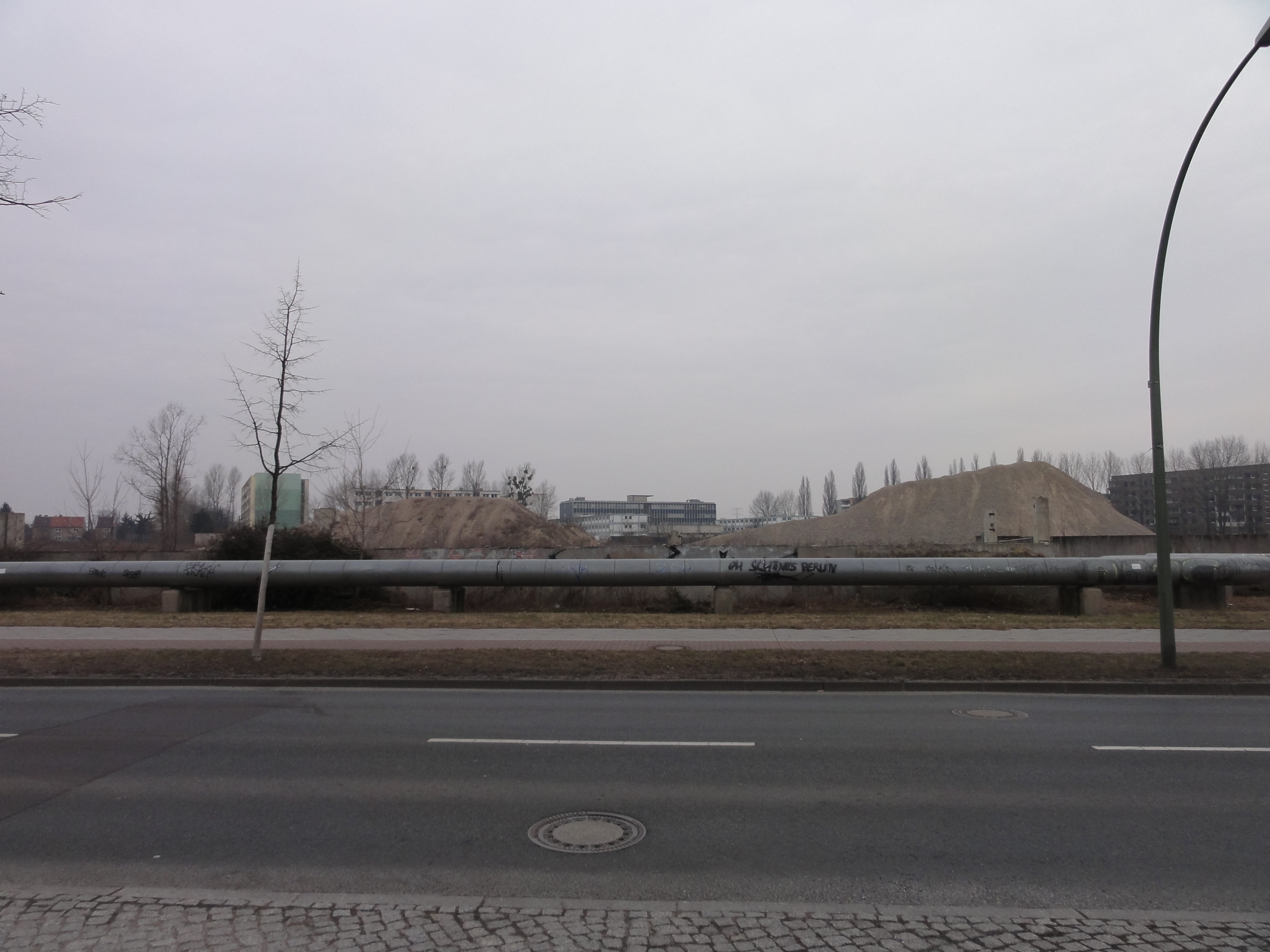
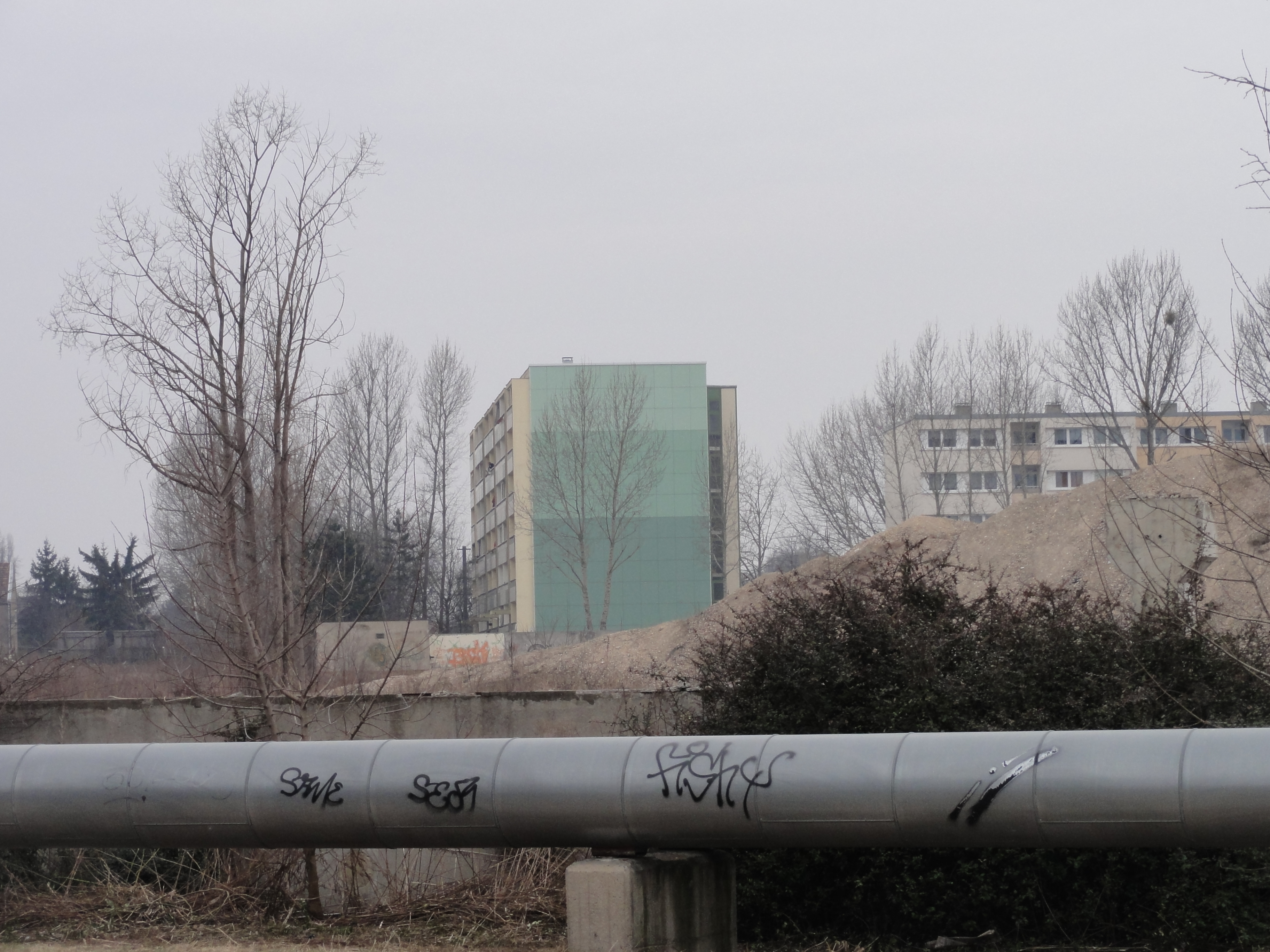
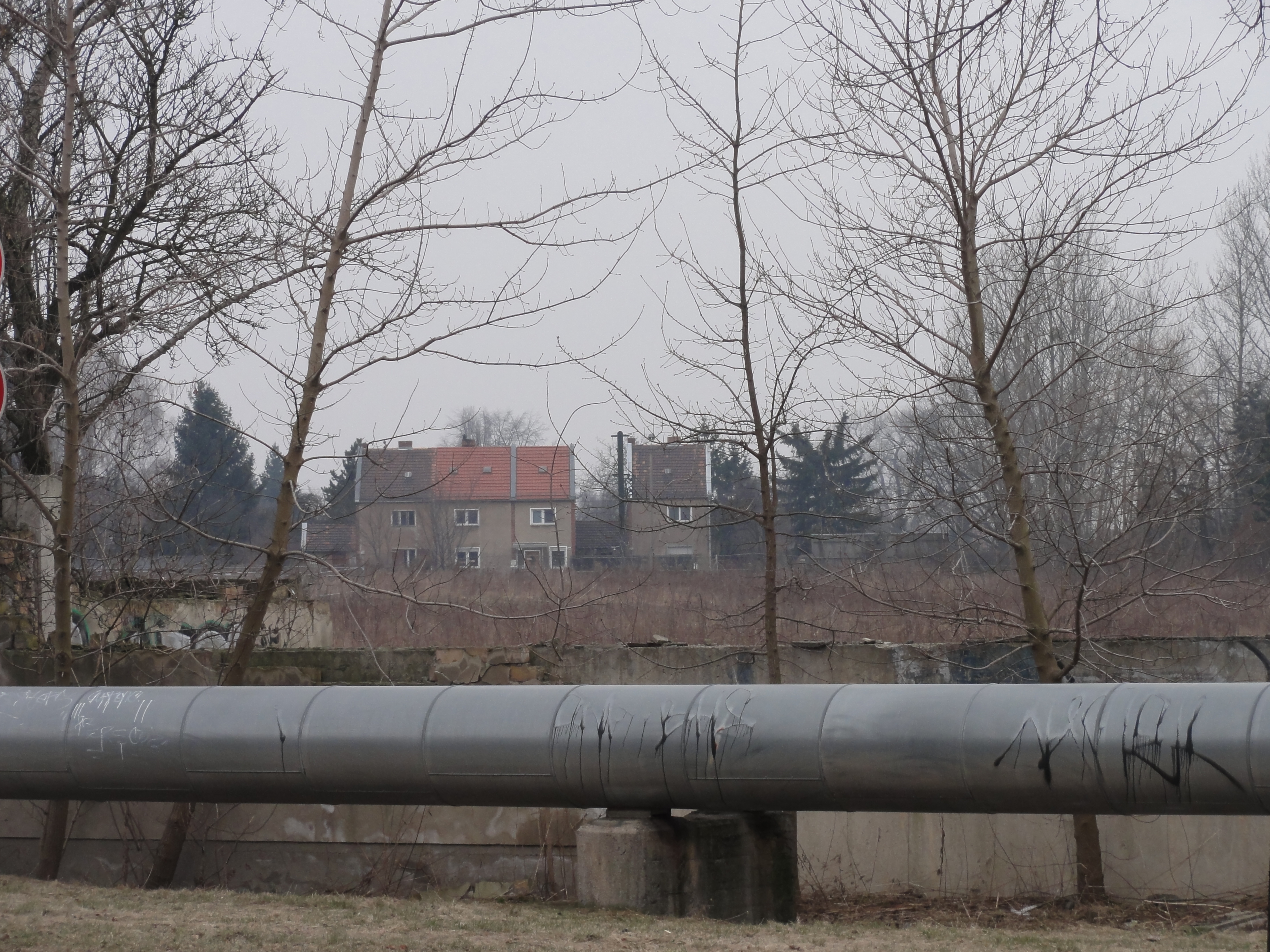
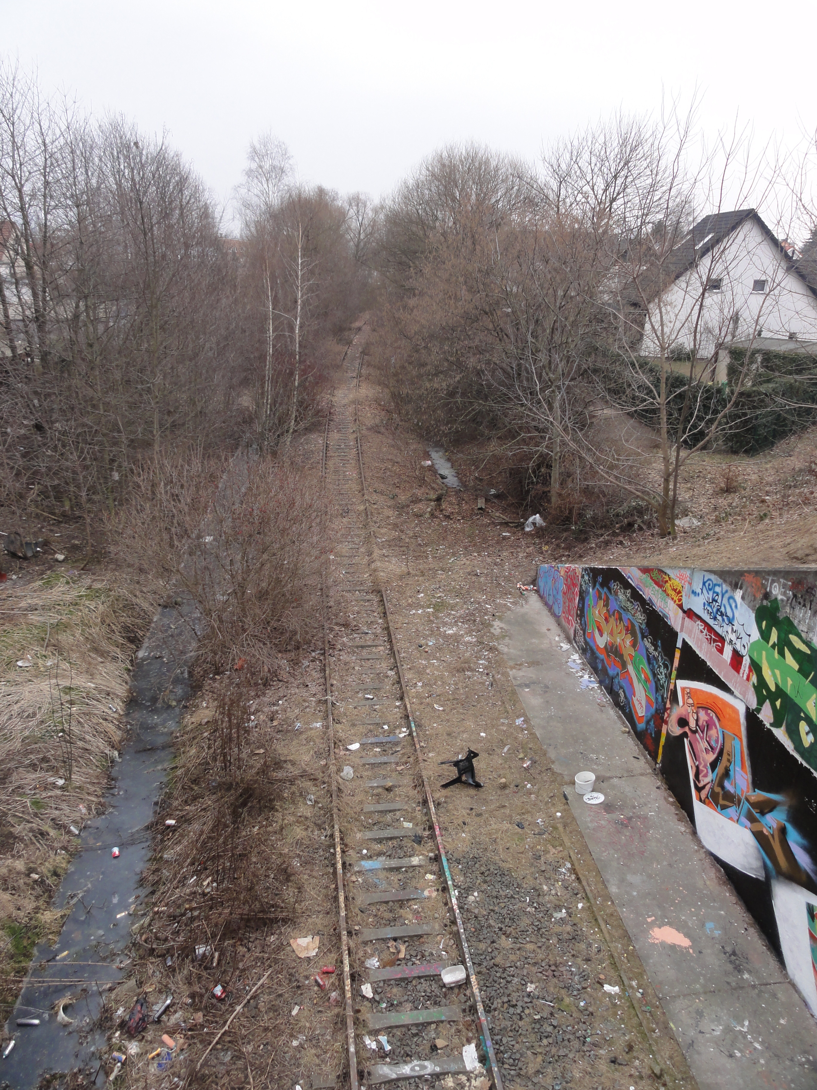
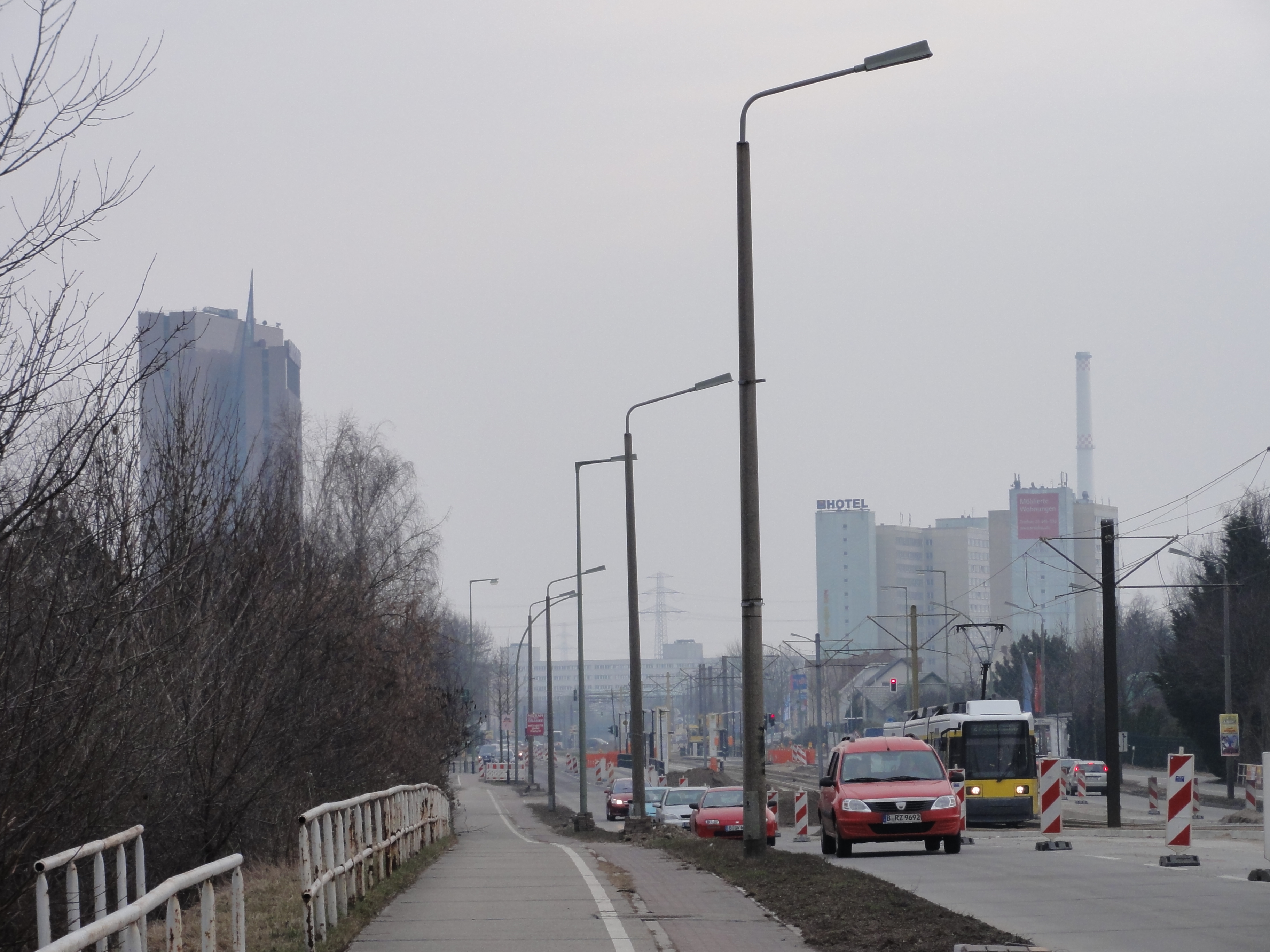
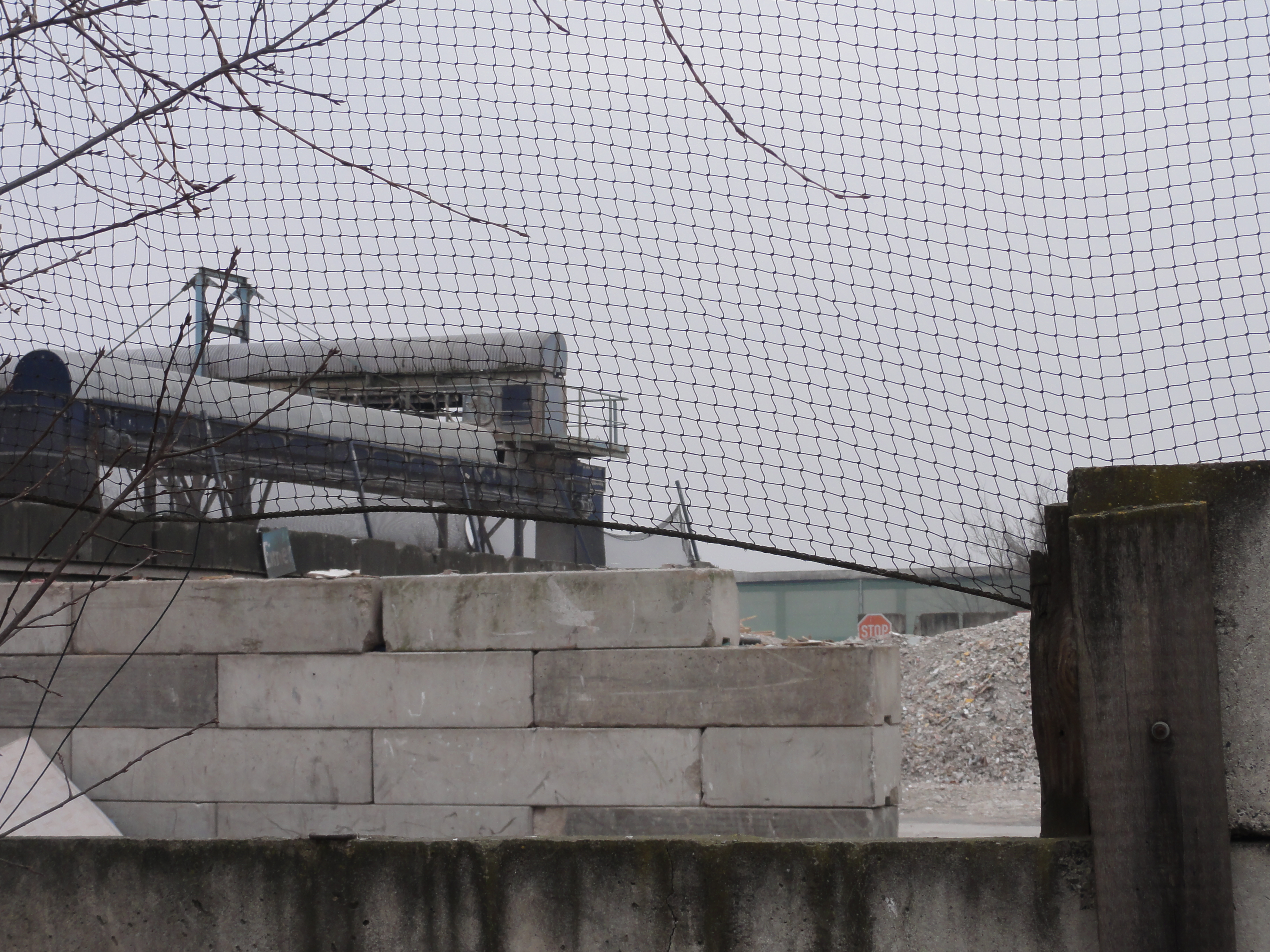
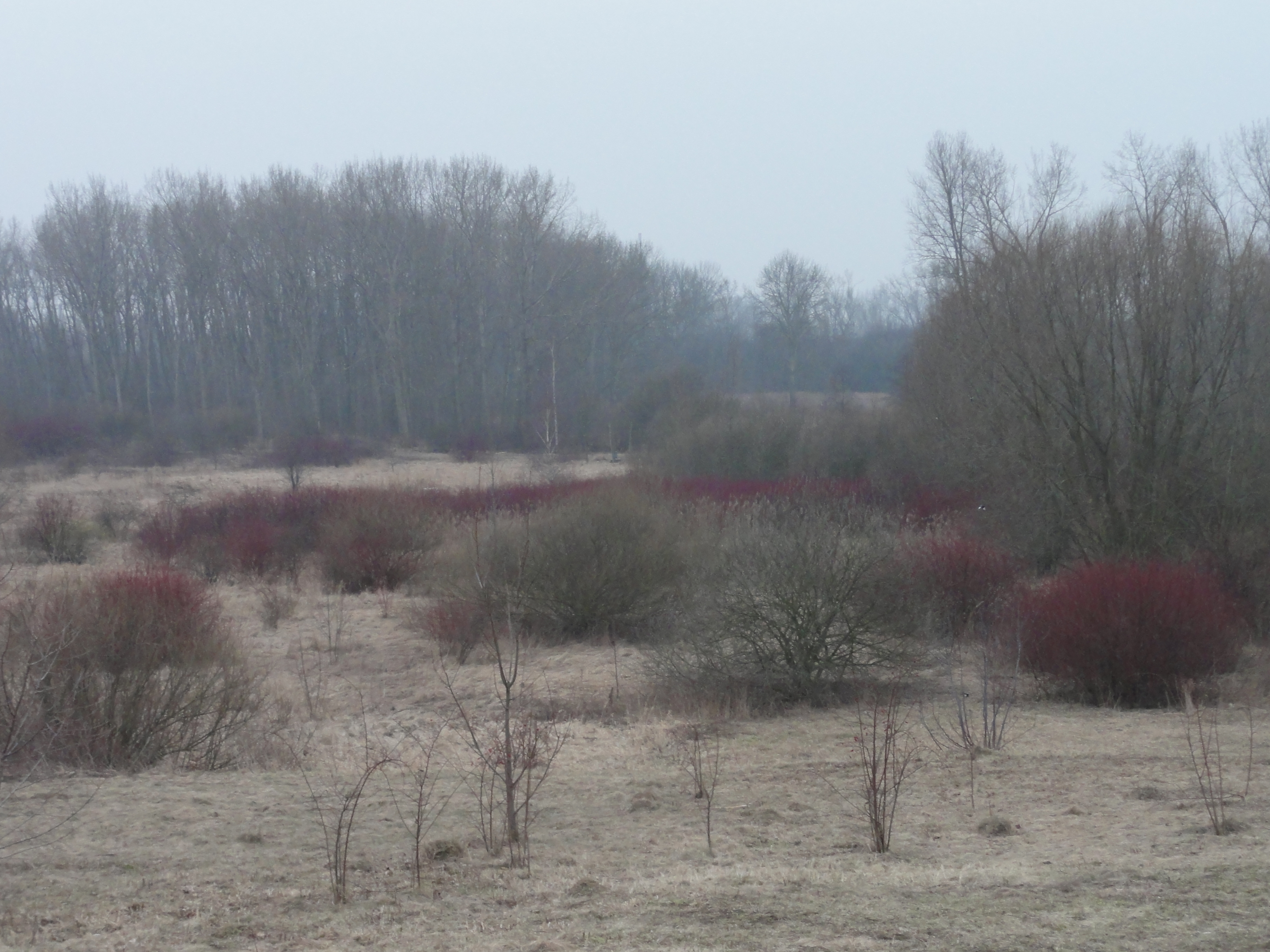
Since we couldn't see the sun, we lost direction and walked the Rhinstraße south, instead of the Gehrenseestraße westwardds. Nevertheless it was interesting:
This is railway from Papenpfuhl to Güterbahnhof Hohenschönhausen, the same we followed at the very end of tour III/1 :
|
2011:02:27 15:17:43
---
52 deg 32' 52.84" N, 13 deg 30' 45.72" E
 185
°
©
ml
185
°
©
ml
|
|
|
2011:02:27 15:17:50
---
52 deg 32' 33.49" N, 13 deg 30' 43.36" E
199.25
°
©
ml
|
Down the Rhinstraße, towards Landsberger Allee:
|
2011:02:27 15:18:29
---
52 deg 32' 33.21" N, 13 deg 30' 43.63" E
 149
°
©
ml
149
°
©
ml
|
|
2011:02:27 15:19:44
---
52 deg 32' 30.56" N, 13 deg 30' 46.15" E
 178.75
°
©
ml
178.75
°
©
ml
|
|
|
2011:02:27 15:23:44
---
52 deg 32' 23.54" N, 13 deg 30' 55.16" E
179.25
°
©
ml
|
Then we turned back, northward the Plauener Straße, up to the Marzahner Straße:
|
|
2011:02:27 15:36:55
---
52 deg 32' 47.21" N, 13 deg 31' 15.52" E
278.5
°
©
ml
|
|
2011:02:27 15:37:10
---
52 deg 32' 47.23" N, 13 deg 31' 15.88" E
 72.25
°
©
ml
72.25
°
©
ml
|
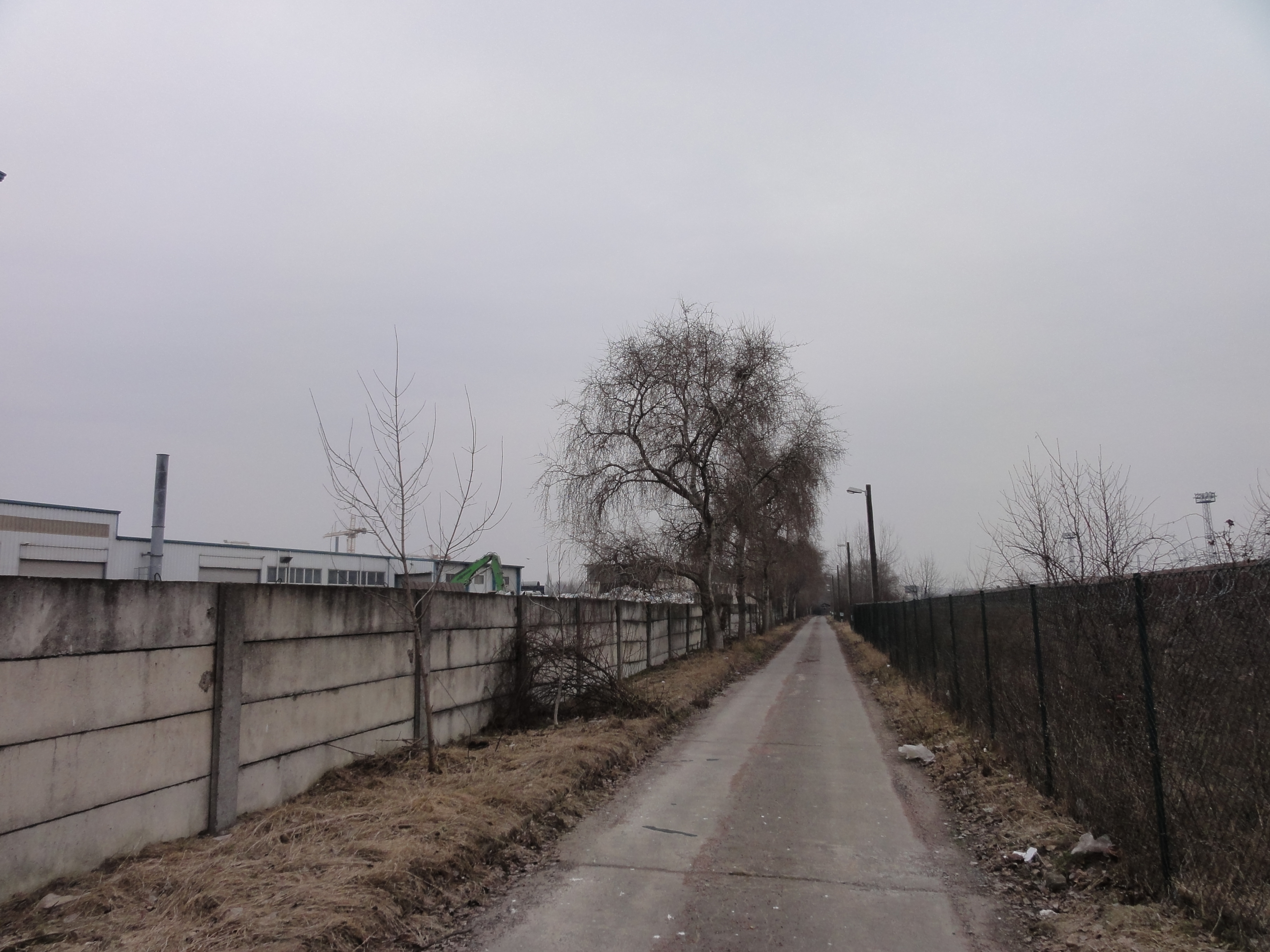
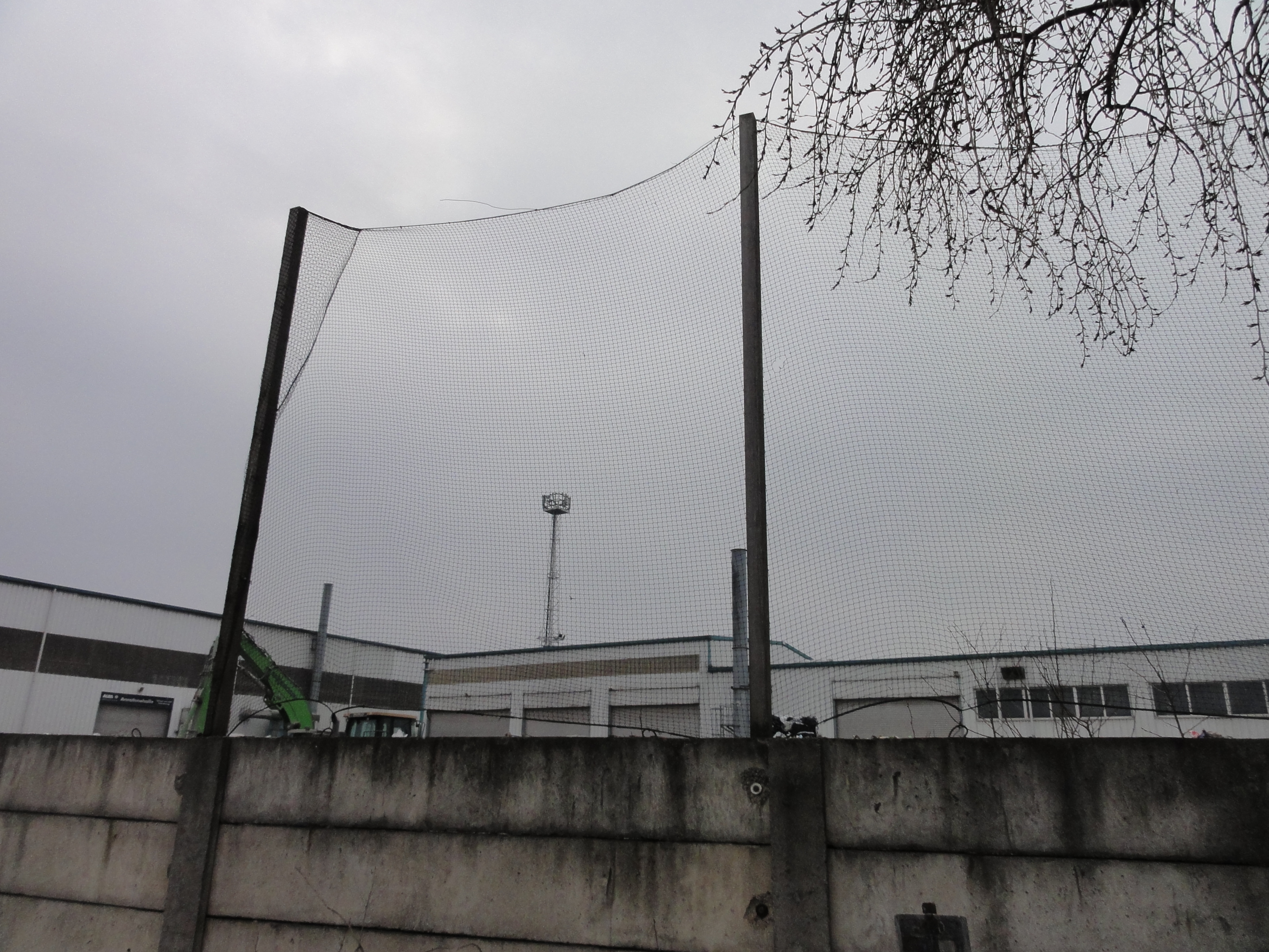
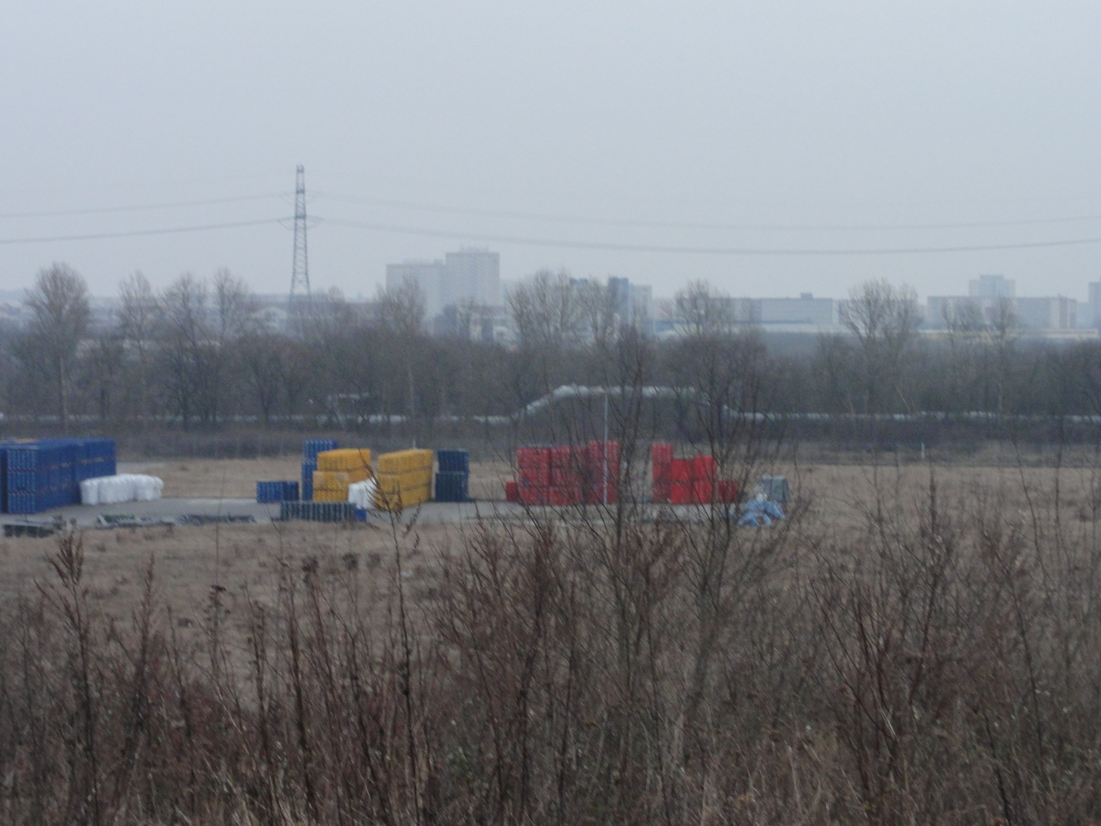
This street ends in the "Marzahner Straße". Normally in German language the naming "X-er Straße" means "the road leading to X". But this street does NOT lead to Marzahn, instead ends here at the railway grounds!
We did not want to turn again, but
tried a small way to the left. This only leads to the
railway grounds and to the switch box. IT'S NOT PUBLIC, but we
overlooked the sign and the gate wasn't closed either,
so we walked until they caught us !-).
So the following photos are quite unique (and quite beautiful !-)
|
2011:02:27 15:41:20
---
52 deg 32' 48.02" N, 13 deg 31' 30.39" E
 318.75
°
©
ml
318.75
°
©
ml
|
|
|
2011:02:27 15:45:18
---
52 deg 32' 52.03" N, 13 deg 31' 29.58" E
230.5
°
©
ml
|
|
2011:02:27 15:46:01
---
52 deg 32' 52.91" N, 13 deg 31' 29.67" E
 304.75
°
©
ml
304.75
°
©
ml
|
|
|
2011:02:27 15:46:27
---
52 deg 32' 53.84" N, 13 deg 31' 29.27" E
246.5
°
©
ml
|
|
2011:02:27 15:48:40
---
52 deg 32' 59.15" N, 13 deg 31' 28.37" E
 338
°
©
ml
338
°
©
ml
|
So we had to walk back the whole way, and reached the field of ruins again:
|
|
2011:02:27 16:09:24
---
52 deg 33' 1.17" N, 13 deg 31' 29.30" E
286.5
°
©
ml
|
|
|
2011:02:27 16:09:48
---
52 deg 32' 55.34" N, 13 deg 30' 42.97" E
285.75
°
©
ml
|
|
|
2011:02:27 16:09:56
---
52 deg 32' 55.34" N, 13 deg 30' 42.97" E
310.5
°
©
ml
|
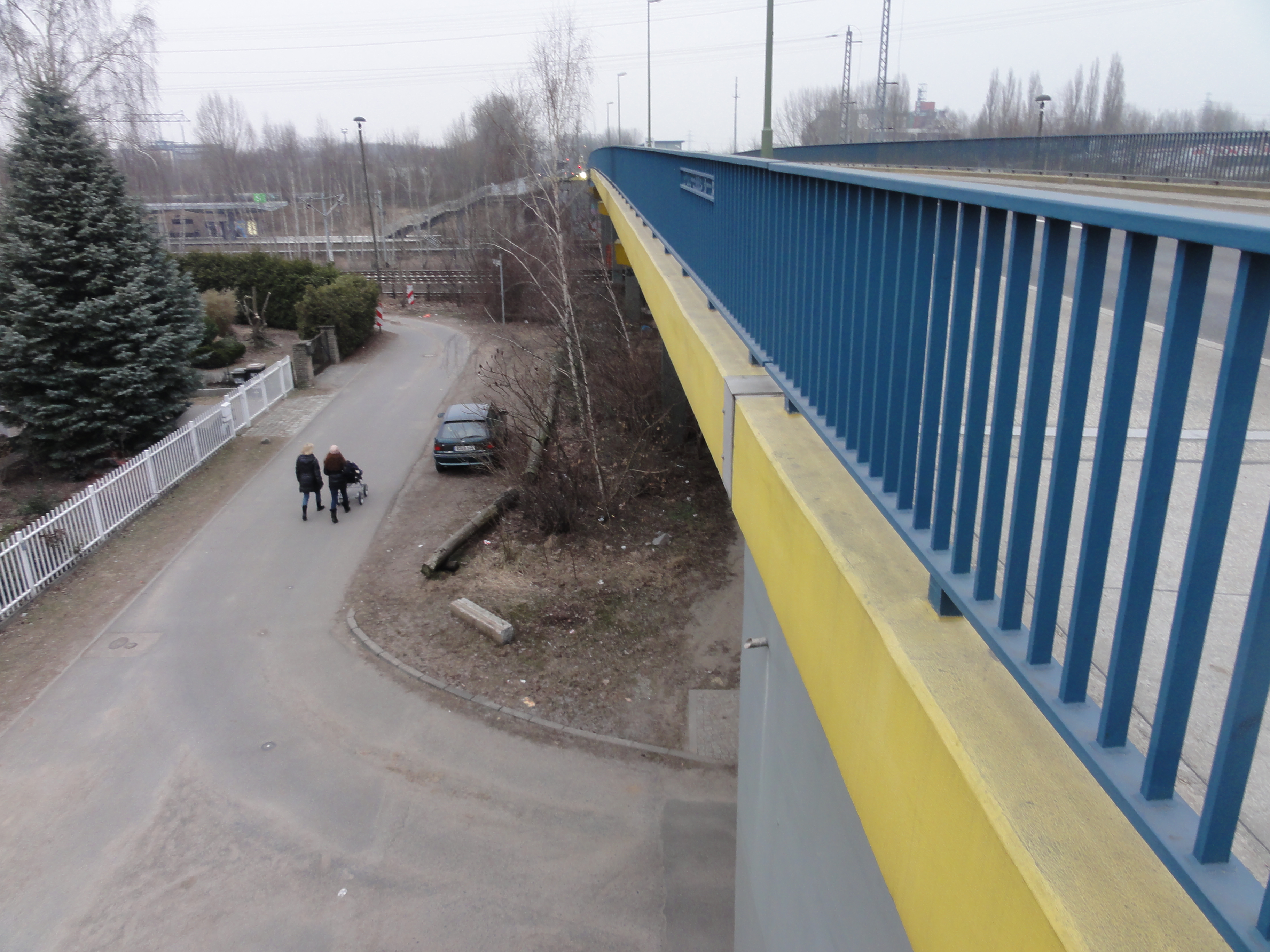
Finally we reached the Gehrensee-Bridge, crossing the Railway, leading to NEW-Hohenschönhausen.
|
|
2011:02:27 16:28:35
---
52 deg 33' 9.66" N, 13 deg 31' 25.21" E
191.75
°
©
ml
|
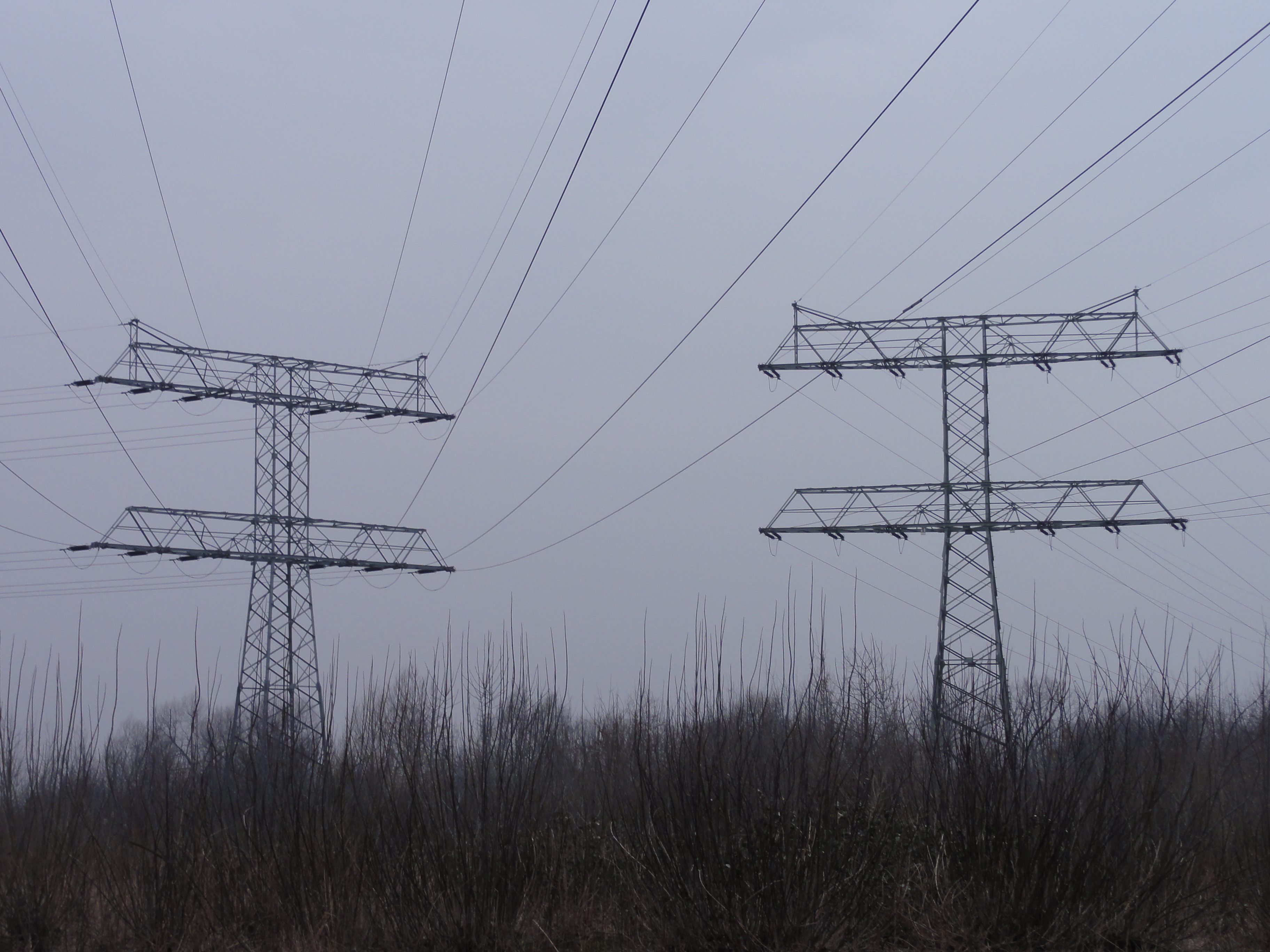
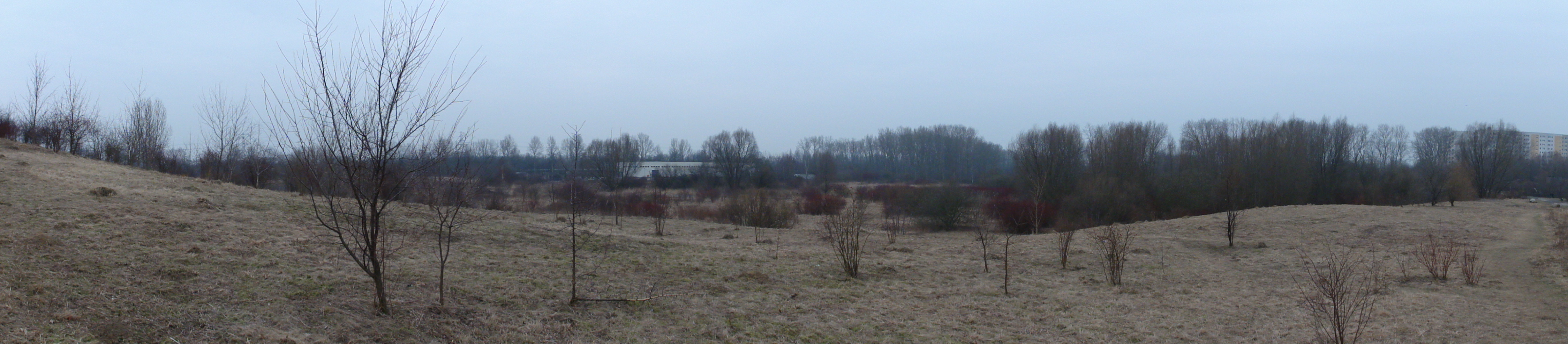
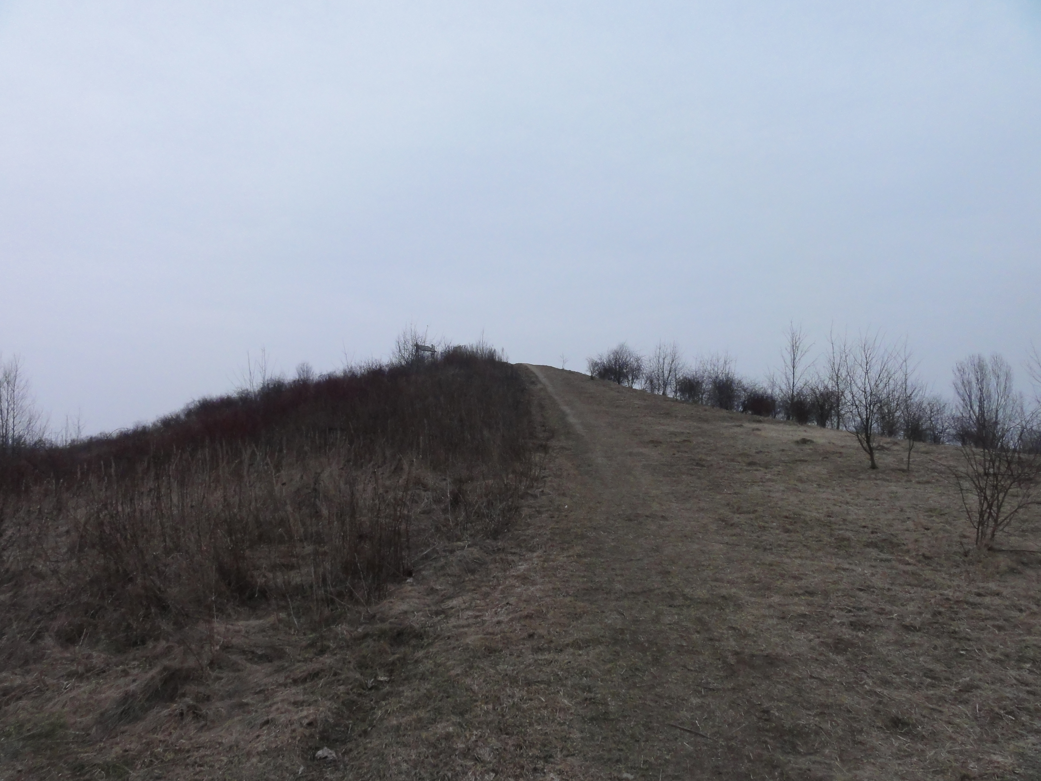
Here, south of the settlement, there is wilderness again, the "Falkenberger Krugwiesen" and the "Falkenberger Höhe". First we turn left into the Pablo-Picasso-Straße, and behind the transformer station directly to the right, through the bushes, letting the houses fat to the left.
|
|
2011:02:27 16:34:04
---
52 deg 33' 18.57" N, 13 deg 31' 27.32" E
224.5
°
©
ml
|
|
|
2011:02:27 16:34:12
---
52 deg 33' 29.26" N, 13 deg 31' 36.89" E
305
°
©
ml
|
|
|
2011:02:27 16:47:54
---
52 deg 33' 52.27" N, 13 deg 32' 1.04" E
179.25
°
©
ml
|
|
2011:02:27 16:47:18
---
52 deg 33' 30.56" N, 13 deg 31' 34.93" E
 50.25
°
©
ml
50.25
°
©
ml
|
|
2011:02:27 16:48:17
---
52 deg 33' 52.29" N, 13 deg 32' 1.04" E
 114.25
°
©
ml
114.25
°
©
ml
|
|
|
2011:02:27 16:48:44
---
52 deg 33' 52.58" N, 13 deg 32' 1.94" E
210.25
°
©
ml
|
|
|
2011:02:27 16:49:51
---
52 deg 33' 53.27" N, 13 deg 32' 3.65" E
137.25
°
©
ml
|
Finally we reached the village "Falkenberg" which is very intersting, but we were to tired to explore. We just saw its back, and walked to Ahrensfelde Bahnhof.
|
|
2011:02:27 17:02:40
---
52 deg 34' 4.62" N, 13 deg 32' 19.76" E
52.75
°
©
ml
|
|
|
2011:02:27 17:02:48
---
52 deg 34' 4.82" N, 13 deg 32' 19.45" E
57.5
°
©
ml
|
Then I was tired of taking photos! The rest will follow soon! (Inshallah !-)
back to photos' home / zurück zur Photo-Übersicht
back to tours' home / zurück zur ersten Tour
markuslepper.eu
2011-07-29_21h16


produced with
eu.bandm.metatools.d2d
and
XSLT
FYI view
page source text